The best walks and hikes around Dendermonde
4.3
(7994)
40,907
hikers
1,578
hikes
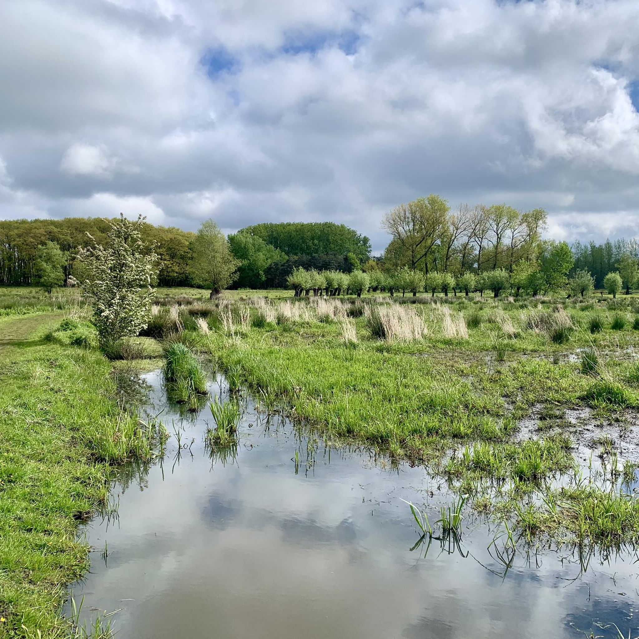
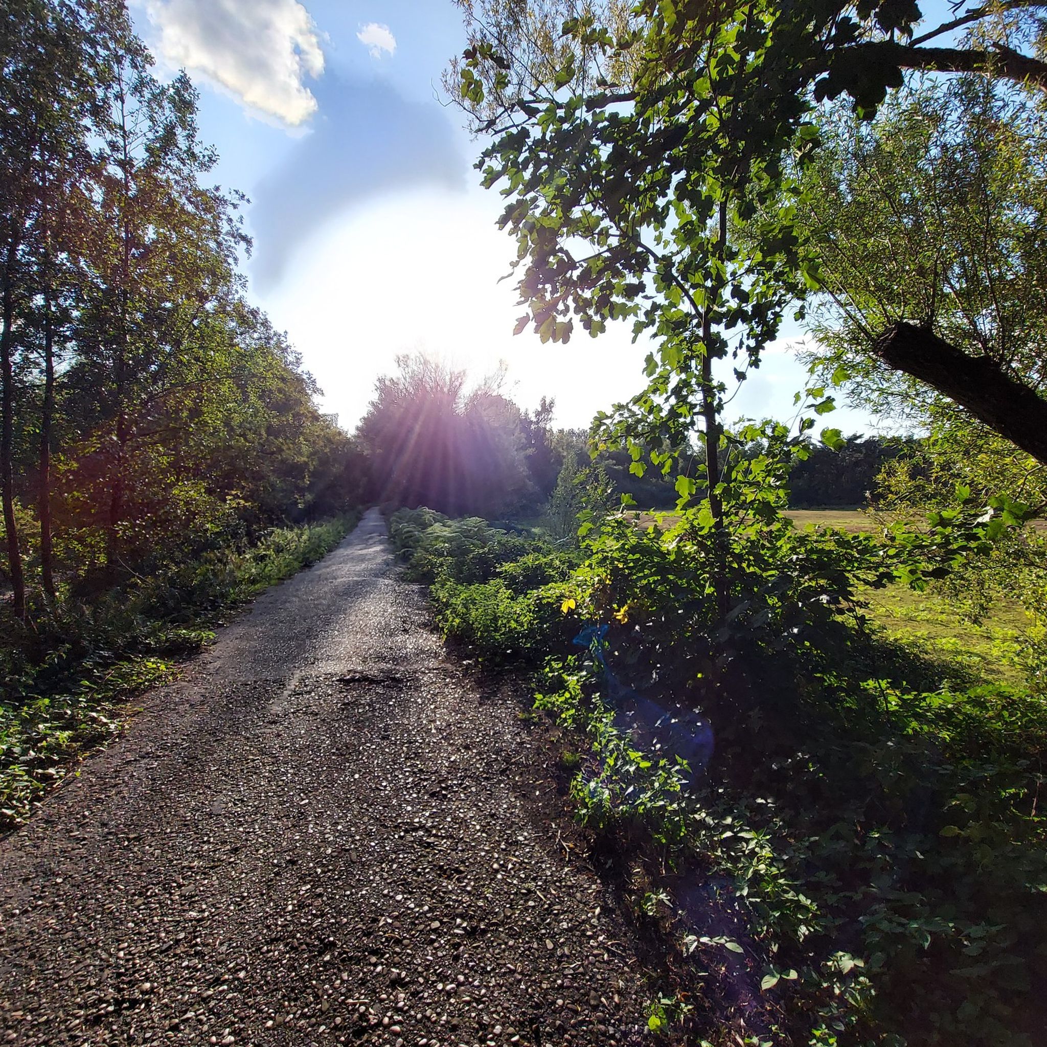
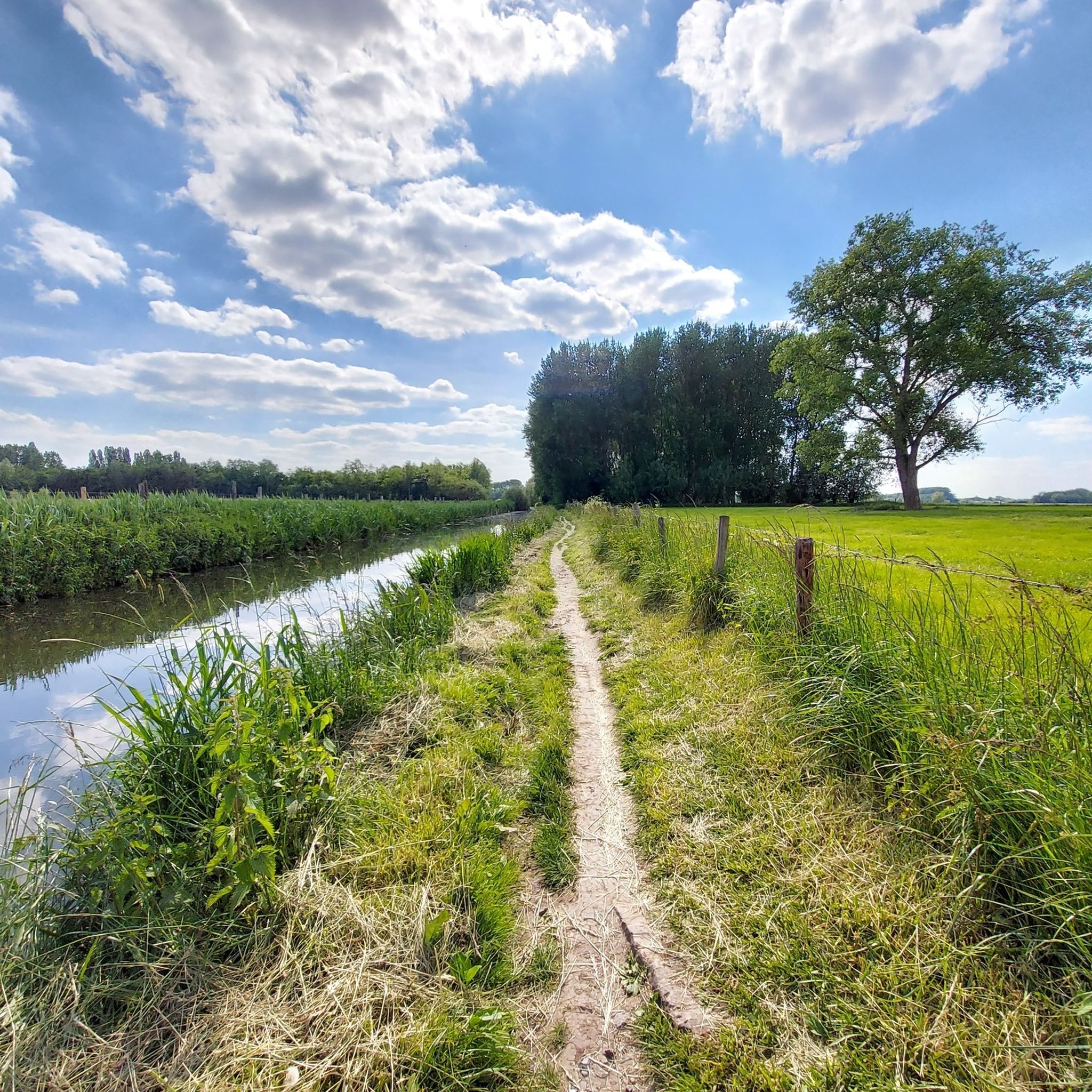
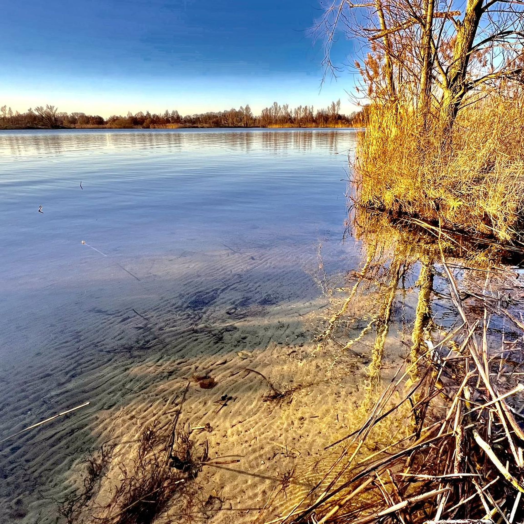
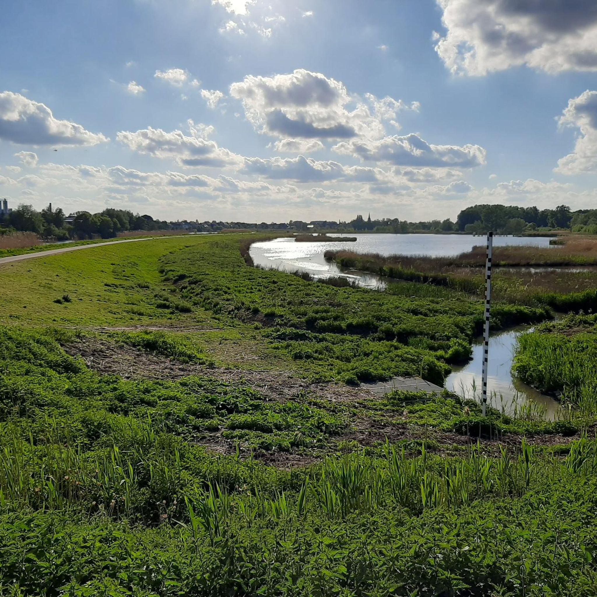
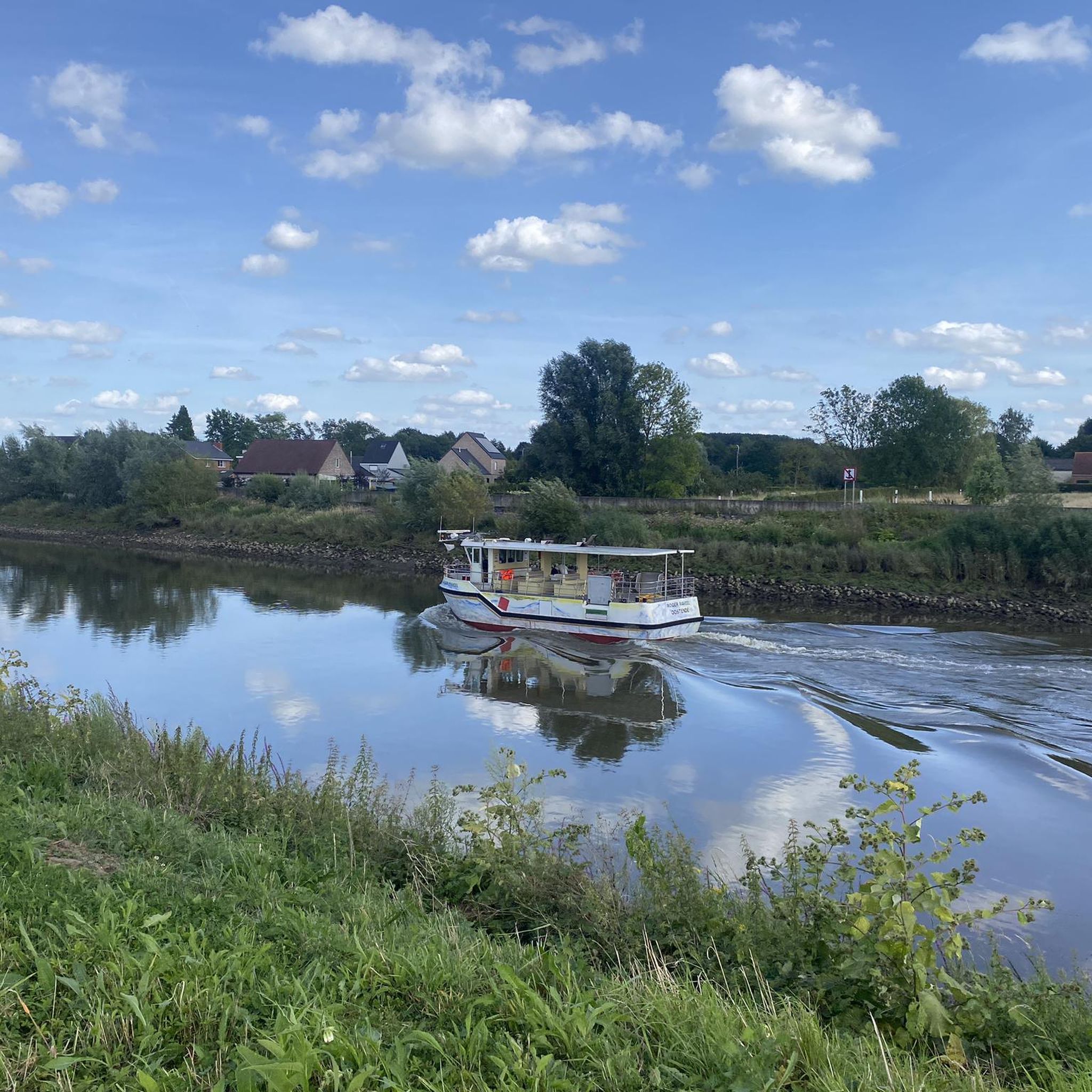
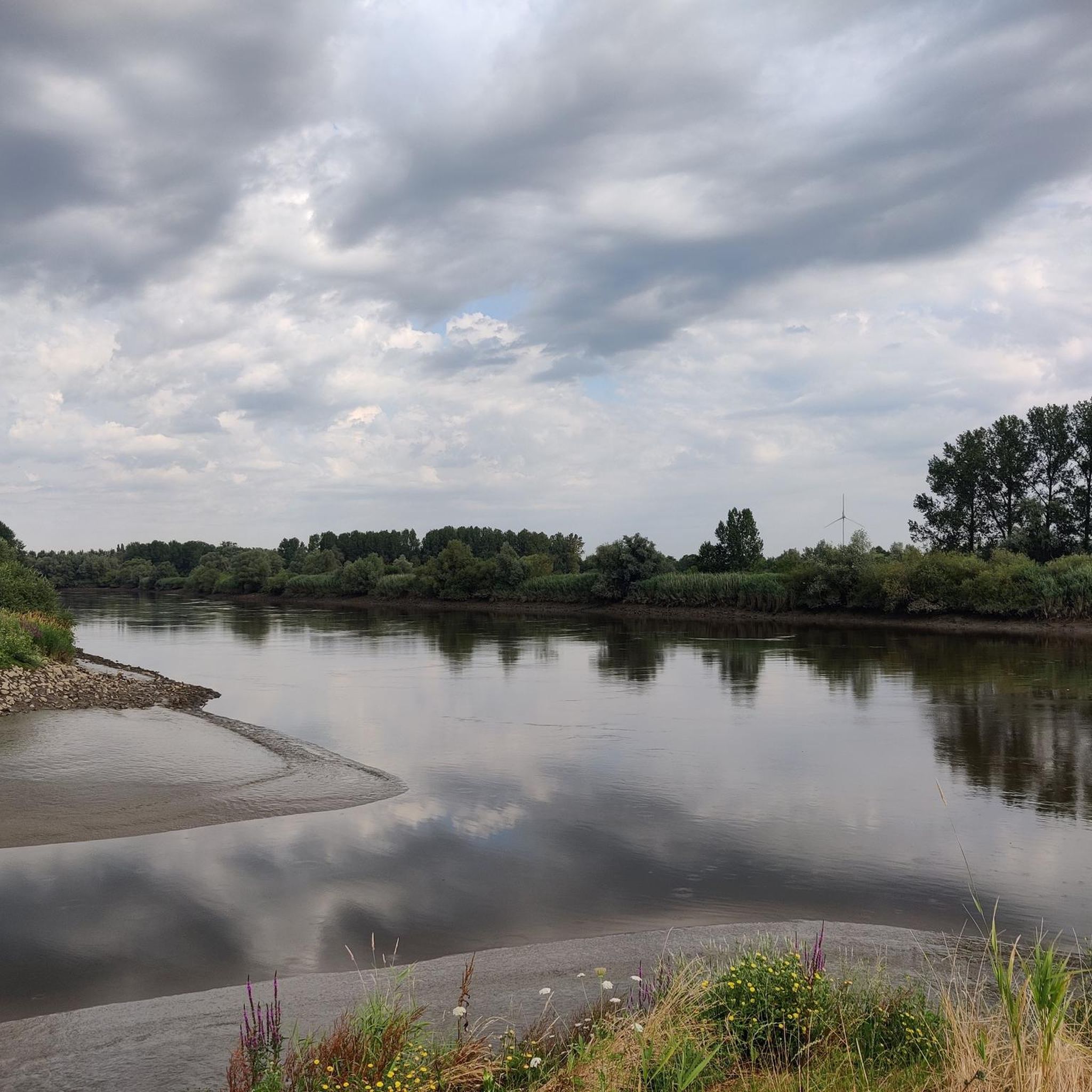
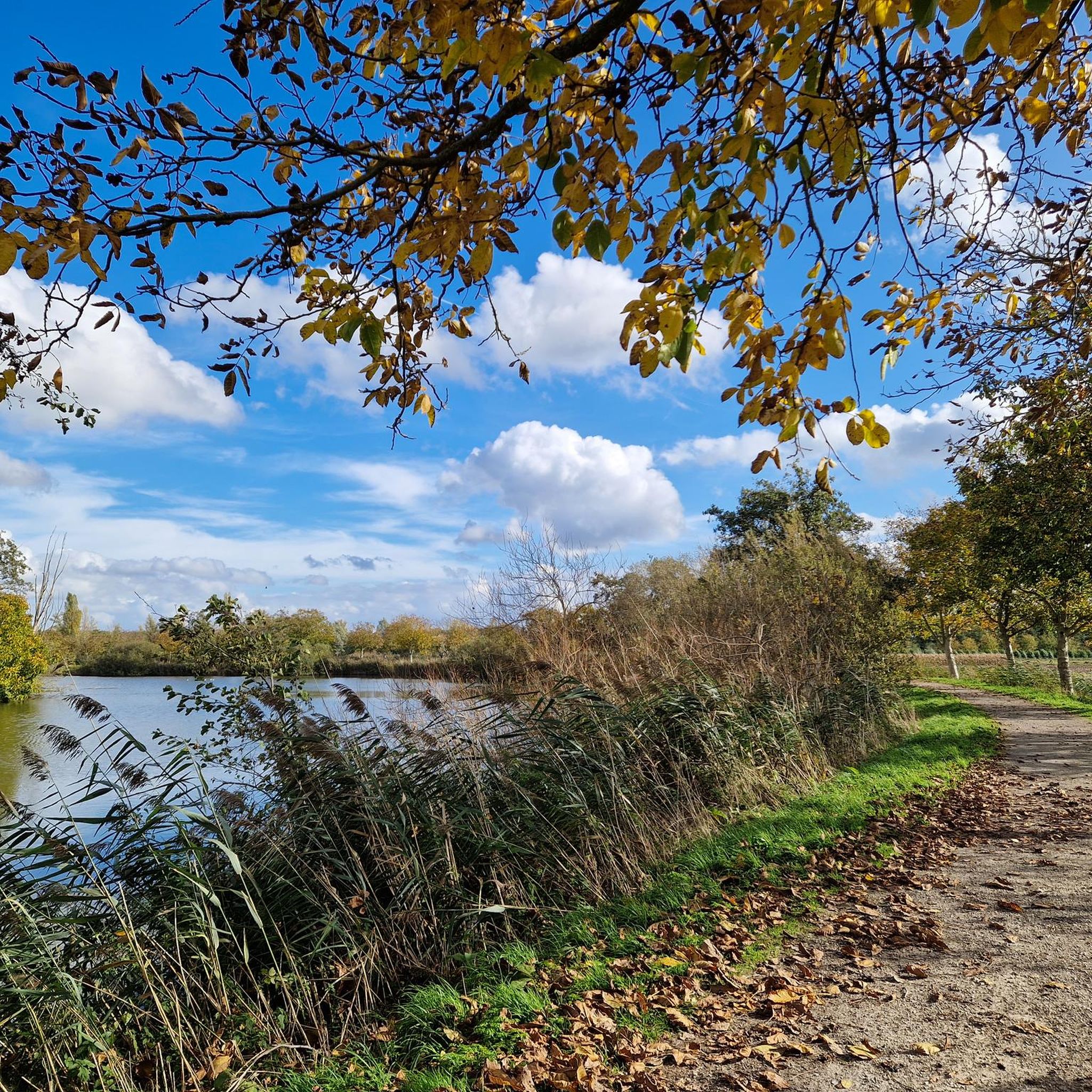
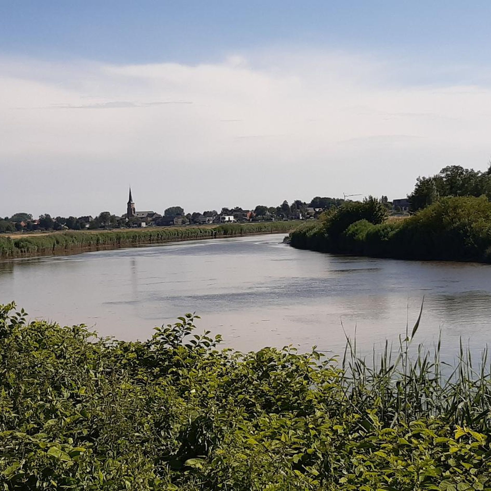
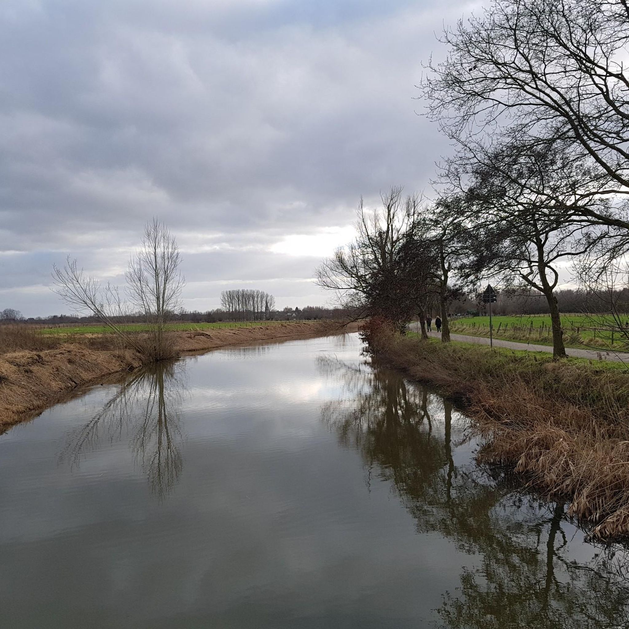
Hiking around Dendermonde offers diverse natural landscapes, characterized by the confluence of the Dender and Scheldt rivers. The region features extensive riverine environments, vast nature reserves like De Brielmeersen and Kalkense Meersen, and tranquil polder areas. While much of the terrain is generally flat, providing accessible options, some routes include varied elevation for more experienced hikers.
Best hiking trails around Dendermonde
- The most popular hiking route is Walk through the Berlare peat pit, a 6.4 miles (10.3 km) trail that takes 2 hours 36 minutes to complete. This moderate route explores the unique wetland environment of the Berlare peat pit.
- Another top favourite among local hikers is Stationstapper: Schellebelle station to Schoonaarde station, a difficult 14.5 miles (23.3 km) path. This longer trail connects two stations, offering an extensive journey through the regional landscape.
- Local hikers also love the Meandering Old Scheldt – Kalkenvaart loop from Scheldt, a 5.0 miles (8.0 km) trail leading through riverine environments and the Kalkenvaart waterway, often completed in about 2 hours 0 minutes.
- Hiking around Dendermonde is defined by riverine environments, extensive nature reserves, and serene polder areas. The network offers options for various ability levels, from easy walks to more challenging long-distance routes.
- The routes in Dendermonde are highly rated by the komoot community with an average score of 4.4 stars from more than 6,500 reviews. More than 36,000 hikers have used komoot to explore Dendermonde's varied terrain.
Last updated: October 10, 2026
4.6
(419)
1,418
hikers
10.3km
02:35
10m
10m
Moderate hike. Good fitness required. Easily-accessible paths. Suitable for all skill levels.
4.6
(419)
1,416
hikers
10.3km
02:37
30m
30m
Moderate hike. Good fitness required. Easily-accessible paths. Suitable for all skill levels.

4.5
(46)
218
hikers
10.5km
02:40
20m
20m
Explore the diverse Stuifduin hiking route, a 6.5-mile moderate hike through marshy grasslands, sandy dunes, and along the Schelde river.
4.6
(20)
76
hikers
23.3km
05:52
30m
30m
Hard hike. Very good fitness required. Easily-accessible paths. Suitable for all skill levels.
4.5
(151)
780
hikers
Moderate hike. Good fitness required. Easily-accessible paths. Suitable for all skill levels.
4.4
(167)
728
hikers
7.98km
02:01
10m
10m
Moderate hike. Good fitness required. Easily-accessible paths. Suitable for all skill levels.
4.6
(125)
568
hikers
9.75km
02:28
20m
20m
Moderate hike. Good fitness required. Easily-accessible paths. Suitable for all skill levels.
4.6
(146)
580
hikers
Moderate hike. Good fitness required. Easily-accessible paths. Suitable for all skill levels.
4.4
(162)
613
hikers
8.83km
02:14
10m
10m
Moderate hike. Good fitness required. Easily-accessible paths. Suitable for all skill levels.
4.7
(128)
397
hikers
8.97km
02:18
40m
40m
Moderate hike. Good fitness required. Easily-accessible paths. Suitable for all skill levels.
Get access to more routes and recommendations from other explorers.
Already have an account?
Our route recommendations are based on thousands of hikes, rides, and runs completed by other people on komoot.
Start today with a free account
Your next adventure awaits.
Other adventures around Dendermonde


Tips from the Community

Walking through a sunken historyDid you know that the idyllic ponds in the Berlare Broek were created by human hands? Where you now enjoy chirping birds and reflecting trees, peat cutters toiled from 1686 onwards to extract precious fuel from the ground. Their back-breaking work in this ancient, cut-off Scheldt meander created more than fifty ponds. A beautiful piece of nature full of history where you can enjoy a wonderful walk through boardwalks and forest paths!
2
0
Parking is currently under renovation. A little further on you can use the Municipal Parking Buggenhout Bos.
5
0

Kijktoren Schellebelle; a viewing platform at the intersection of Tragelweg and Blokstraat offers you a unique view of the Kalkense Meersen. At this point, the Tragelpad with the old Scheldearm meets the Blokstraat, forming the nerve center of the recreational routes.
1
0

As a cyclist, you ride straight into the town hall. The Scheldt pedestrian and cyclist bridge provides an elegant, modern crossing between the towpath and the center of Wetteren. The wide ramps eliminate the need for the old footbridge and stairs, giving the bridge a flowing, accessible line. From the highest point, you have an unobstructed view of the Scheldt, the dikes, and the green river plain.
6
0

A V1 crashed here in Kalken during World War II. This monument commemorates this tragic event, in which two children lost their lives. A piece of wreckage from the aircraft is displayed on the monument.
1
0
Where cyclists and pedestrians can reach the other side without getting wet.
4
2

Cycle bridge with a gentle slope to go to the city center. The ramp leads directly to the city center at a slightly higher elevation.
1
0

The viewing platform, strategically located at the intersection of the four municipalities that form the Kalkense Meersen, not only offers stunning views of the green landscape and the old Scheldt arm, but also allows visitors to observe the landscape's evolution over the years. According to Michaël Crapoen of Natuurpunt Scheldeland, the platform is a real asset because it offers the opportunity to experience nature from a different perspective. In addition, numerous recreational cycling and walking routes converge here. (Scheldt Valley National Park)
12
1
Frequently Asked Questions
What kind of terrain can I expect on hiking trails around Dendermonde?
The terrain around Dendermonde is largely characterized by its riverine environments, with many paths meandering alongside the Dender and Scheldt rivers. You'll find generally flat landscapes, including tranquil polder areas and extensive nature reserves like De Brielmeersen and Kalkense Meersen. While most routes are easy, some trails, such as parts of the Donkmeer Loop Trail, offer varied elevation for those seeking a bit more challenge.
Are there many easy or beginner-friendly hiking options in Dendermonde?
Yes, Dendermonde is very accessible for beginners and those looking for easy walks. Over 900 of the routes are classified as easy, making them suitable for all ages and fitness levels. Many trails are relatively flat and can be completed in a couple of hours, offering a gentle introduction to the region's natural beauty.
Are there any family-friendly hiking trails in the Dendermonde area?
Absolutely. The generally flat terrain and well-maintained paths make many of Dendermonde's trails ideal for families. Routes that explore the nature reserves or follow the riverbanks are particularly popular, offering safe and enjoyable experiences for children. Look for trails with minimal elevation gain for the most family-friendly options.
What natural features or landmarks can I see while hiking in Dendermonde?
Dendermonde's trails offer a rich array of natural features. You can explore the confluence of the Dender and Scheldt rivers, vast nature reserves like De Brielmeersen and Kalkense Meersen, and serene forests such as Buggenhoutbos. Notable sights include the Meandering Old Scheldt, the Hennenput Pond in Buggenhoutbos, and the Hospiesbos. The Kalkense Meersen also features a strategically located viewing platform for panoramic views.
Are there any historical sites or castles to discover near the hiking routes?
Yes, beyond natural beauty, you can encounter historical elements. The region features charming castles such as Berlare Castle Park, Blauwendael Castle, and Heyzyde Castle. Some trails also pass by historical points of interest like the old water mill along the Oude Durme River or the Duck Decoy and Keeper's Cottage Donkmeer.
Are there any circular hiking routes available in Dendermonde?
Yes, many of the hiking trails in Dendermonde are designed as circular routes, allowing you to start and end at the same point. Examples include the "View of the Oude Durme River – The Water Mill loop" and the "Across the Hamputten – Molsbroek Visitor Centre loop." The Meandering Old Scheldt – Kalkenvaart loop from Scheldt is another popular circular option.
What do other hikers say about the trails in Dendermonde?
The hiking trails in Dendermonde are highly regarded by the komoot community, boasting an average rating of 4.4 stars from over 6,500 reviews. Hikers frequently praise the diverse natural landscapes, the tranquility of the riverine environments, and the well-maintained paths through nature reserves. Many appreciate the accessibility for various skill levels.
Are there any longer or more challenging hikes for experienced trekkers?
While much of the terrain is flat, Dendermonde does offer options for more experienced hikers. The Stationstapper: Schellebelle station to Schoonaarde station is a difficult 14.5-mile (23.3 km) path that provides an extensive journey through the regional landscape. Other routes may feature varied elevation or cover longer distances for those seeking a greater challenge.
Can I bring my dog on the hiking trails in Dendermonde?
Many trails in Dendermonde are suitable for dog walking, allowing you to enjoy the natural surroundings with your canine companion. It's always recommended to keep your dog on a leash, especially in nature reserves, to protect local wildlife and ensure a pleasant experience for all hikers. Specific leash rules may vary by area, so observe local signage.
Are there places to eat or drink along the hiking routes?
Yes, some hiking routes in the Dendermonde area pass by charming establishments where you can take a break. For instance, 't Oud Brughuys in Berlare is a popular stop for hikers. Many towns and villages along the rivers also offer cafes and restaurants to refuel during or after your hike.
What is the best time of year to go hiking in Dendermonde?
Dendermonde offers pleasant hiking experiences throughout much of the year. Spring and autumn provide mild temperatures and beautiful scenery, with blooming flora or vibrant fall colors. Summer is also popular, though it can be warmer. Even in winter, the generally flat terrain makes many trails accessible, offering a peaceful, crisp experience, especially along the riverbanks.
Is public transport available to reach hiking trailheads in Dendermonde?
Yes, public transport can be a convenient way to access some hiking trailheads. The Stationstapper: Schellebelle station to Schoonaarde station route, for example, is specifically designed to connect two train stations, making it easily reachable by public transport. Many other routes are also accessible from towns and villages served by local buses or trains.
Most popular routes around Dendermonde
Most popular attractions around Dendermonde

Get inspired with the komoot mobile app


Didn’t find what you were looking for?
Check out more Hikes throughout Dendermonde below and find the perfect route in your destination.
Explore more
Browse the best Hikes in other regions.
