The best walks and hikes around Machelen
4.4
(4606)
26,662
hikers
24
hikes
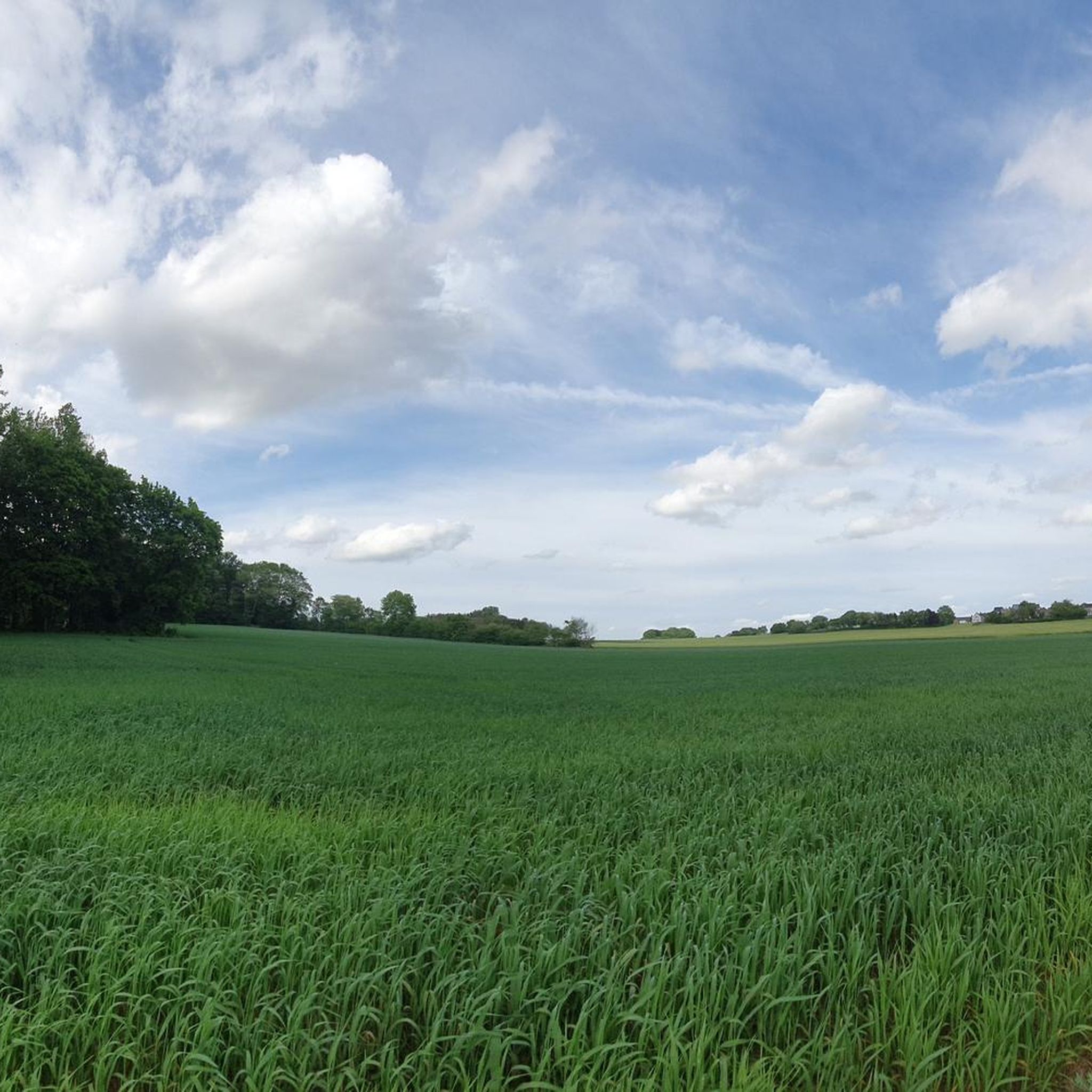
Hiking around Machelen offers a network of trails through varied landscapes, including riverside paths, open fields, and urban green spaces. The region, part of Brabant, is characterized by gentle slopes and a mix of cultivated land and small wooded areas, providing accessible outdoor experiences. These routes often connect historical sites and local landmarks, making them suitable for exploring the area's natural and cultural features.
Best hiking trails around Machelen
- The most popular hiking route is De Liermolen – Tommenmolen loop…
Last updated: October 7, 2026
5.0
(7)
32
hikers
18.4km
04:48
130m
130m
Moderate hike. Good fitness required. Easily-accessible paths. Suitable for all skill levels.
14
hikers
5.67km
01:27
20m
20m
Easy hike. Great for any fitness level. Easily-accessible paths. Suitable for all skill levels.

4.6
(5)
9
hikers
Moderate hike. Good fitness required. Easily-accessible paths. Suitable for all skill levels.
10
hikers
6.03km
01:32
20m
20m
Easy hike. Great for any fitness level. Easily-accessible paths. Suitable for all skill levels.
8
hikers
4.19km
01:05
30m
30m
Easy hike. Great for any fitness level. Easily-accessible paths. Suitable for all skill levels.
Get access to more routes and recommendations from other explorers.
Already have an account?
Our route recommendations are based on thousands of hikes, rides, and runs completed by other people on komoot.
Start today with a free account
Your next adventure awaits.

Other adventures around Machelen

Tips from the Community

Sint-Servaas refers to the parish church while the patron saints Saint Peter and Paul are associated with the abbey church. The church was built in white sandstone in the period 1660-80. This was the golden age of the abbey, which originated around 1125. The tower with 48 bells offers a beautiful panoramic view of the surroundings. The choir is strikingly large in proportion to the rest of the church. The nave remained unfinished, which can be noticed from the temporary facade. In the interior, the sculpturally decorated walls are striking. In combination with four beautiful confessionals, the pulpit, choir stalls, altar, and tomb of the Count of Grimbergen, this creates one of the most beautiful baroque ensembles in the country. In the choir, one can admire four paintings about Saint Norbertus by Jan van Orley. Elsewhere in the church, you will also find numerous works by De Craeyer, van Orley, and van Loon. (OpenChurches)
6
0

Beautiful surroundings and to pick up some history
0
0

For cyclists, this is a short but striking moment: you take the lift up, roll over the bridge, and descend again with the lift on the other side – a vertical movement that briefly breaks the rhythm of the ride. The bridge is located just behind the Vilvoorde viaduct, making it appear both small and striking within the grand infrastructure setting. The name refers to the salangan, a swift that returns over Vilvoorde in April, and to Frederik Vanclooster, whose totem name ‘entertaining salangan’ adds a personal layer to the work.
8
0
Hof te Poddegem is the oldest known farmstead in Grimbergen. The origins of this medieval fortified farm date back to a 5th-century Frankish domain. 'Poddegem' literally means 'the home of the people of Pud'. In the 13th century, Hof te Poddegem was mentioned as a fief of the Prince of Grimbergen. (Wikipedia)
11
0

The bridge disappears into nothingness compared to the gigantic viaduct of Vilvoorde.
2
0

Hidden in the green Maalbeek valley lies the Hof te Poddegem, a former moated castle with an impressive 14th century keep – the smallest square residential tower in Flanders! The medieval site with remains of ramparts, a gate tower and old farm buildings breathes history, from Frankish origins to status symbol of local lords.
6
0

Why Outside Crosses on Churches? • Protection and devotion: In the past, people believed that a crucifix on a church or at a crossroads would protect the village from disaster. • Accessibility: Not everyone could get inside every day, so people could still pray. • Catechesis: In a time when many could not read, such images served as a visual proclamation of faith.
7
0
Here you will find a map with legend. Walking at junctions in the land of Demer & Dijle. The information is provided in Dutch, German, French and English.
6
0
Frequently Asked Questions
How many hiking trails are available around Machelen?
There are over 15 hiking routes around Machelen, offering a variety of experiences. These trails are well-regarded by the komoot community, with an average rating of 4.4 stars from over 3900 reviews.
Are there easy hiking routes suitable for beginners in Machelen?
Yes, Machelen offers several easy hiking routes perfect for beginners or those looking for a relaxed walk. For instance, the Hiking loop from Diegem is an easy 4.0 km trail that takes just over an hour to complete, leading through local parks and residential areas. Another gentle option is the Flower square loop from Machelen, which is 3.3 km long.
What kind of landscapes can I expect to see on hikes around Machelen?
Hiking around Machelen features diverse landscapes, including gentle riverside paths, open agricultural fields, and accessible urban green spaces. The region, part of Brabant, is characterized by its mild, rolling terrain and a mix of cultivated land and small wooded areas.
Are there any circular walks in Machelen?
Yes, many of the trails around Machelen are designed as circular routes, allowing you to start and end at the same point. Examples include the popular De Liermolen – Tommenmolen loop from Buda and the Chapel of Our Lady of Peace – Saint Martin's Church loop from Machelen.
What attractions or landmarks can I explore near the hiking trails?
Machelen's trails often connect to historical sites and local landmarks. You can find natural attractions like the Geographic Arboretum of Tervuren or the Woluwe Park. For cultural sights, Brussels is nearby, offering places like the iconic Grand Place or the Galeries Royales Saint-Hubert.
Is Machelen a good destination for family-friendly hikes?
Yes, Machelen is suitable for family-friendly hikes, especially with its numerous easy and moderate trails. The gentle terrain and urban green spaces make it accessible for all ages. Shorter loops like the Hiking loop from Diegem are excellent choices for families.
What is the best time of year to go hiking in Machelen?
The best time to hike in Machelen is generally during spring (April-May) and autumn (September-October) when the weather is mild and pleasant. Summer can also be enjoyable, though it can get warmer. Winter offers a different charm, but some paths might be muddy or slippery.
Are there any viewpoints or scenic spots along the trails?
While Machelen is characterized by gentle terrain, some routes offer pleasant views of the surrounding countryside and river valleys. For a dedicated scenic spot, the Mont des Arts Garden, though a short distance away in Brussels, provides a notable panoramic view.
Where can I find parking for hiking trails near Machelen?
Parking is generally available near the starting points of many trails in and around Machelen, especially in urban areas or near local parks. Specific parking information can often be found on individual route pages on komoot or by checking local signage.
Can I reach hiking trails in Machelen using public transport?
Machelen is well-connected by public transport, making it possible to access many hiking trails without a car. Local bus services and train stations in nearby towns can provide access to various starting points. It's advisable to check local transport schedules for specific route access.
What do other hikers enjoy most about hiking in Machelen?
The komoot community highly rates the hiking experience in Machelen, with an average score of 4.4 stars. Hikers often praise the accessibility of the trails, the varied scenery of riverside paths and open fields, and the opportunity to connect with local history and nature.
Are there any longer, more challenging hikes available?
While Machelen's trails are mostly easy to moderate, some routes offer a longer distance for those seeking more of a challenge. The De Liermolen – Tommenmolen loop from Buda, at 18.3 km, is a moderate trail that takes nearly 5 hours to complete, exploring river valleys and historical mills.
Most popular attractions around Machelen

Get inspired with the komoot mobile app


Explore more
Browse the best Hikes in other regions.
