The best walks and hikes around Geraardsbergen
4.4
(1955)
10,710
hikers
410
hikes
Hiking around Geraardsbergen offers diverse landscapes within the Flemish Ardennes, characterized by rolling hills, dense woodlands, and open meadows. The region features varied terrain, from the steep features of the Flemish Ardennes to the gentle slopes of the Pajottenland. Notable natural features include the Raspaillebos and the De Nuchten Nature Reserve, providing varied environments for outdoor activities.
Best hiking trails around Geraardsbergen
- The most popular hiking route is Stationstapper: Zandbergen station to Geraardsbergen station, a 9.9 miles (15.9 km) trail that takes 4 hours 14 minutes to complete. This route connects two stations, offering a convenient point-to-point hiking experience.
- Another top favourite among local hikers is View of the Raspaillebos – Raspaille Forest loop from Onkerzele, a moderate 10.0 miles (16.1 km) path. This trail leads through the dense woodlands of the Raspaillebos, known for its diverse flora and fauna.
- Local hikers also love the Lake De Gavers – De Nuchten Boardwalk loop from Zandbergen, a 9.3 miles (15.0 km) trail leading through the De Nuchten Nature Reserve and past Lake De Gavers, often completed in about 3 hours 48 minutes.
- Hiking around Geraardsbergen is defined by rolling hills, dense woodlands, and nature reserves with boardwalks. The network offers options for different ability levels, from easy walks to more challenging routes with elevation.
- The routes in Geraardsbergen are highly rated by the komoot community with an average score of 4.4 stars from over 1,600 reviews. More than 10,000 hikers have used komoot to explore Geraardsbergen's varied terrain.
Last updated: July 24, 2026
4.4
(20)
53
hikers
15.9km
04:14
180m
170m
Moderate hike. Good fitness required. Mostly accessible paths. Sure-footedness required.
4.3
(52)
269
hikers
15.1km
03:49
30m
30m
Moderate hike. Good fitness required. Easily-accessible paths. Suitable for all skill levels.

Sign up for free
4.7
(71)
289
hikers
15.8km
04:18
230m
230m
Moderate hike. Good fitness required. Easily-accessible paths. Suitable for all skill levels.
4.5
(67)
197
hikers
Easy hike. Great for any fitness level. Easily-accessible paths. Suitable for all skill levels.
4.6
(46)
222
hikers
10.4km
02:47
120m
120m
Moderate hike. Good fitness required. Easily-accessible paths. Suitable for all skill levels.
Get access to more routes and recommendations from other explorers.
Sign up for free
Already have an account?
Our route recommendations are based on thousands of hikes, rides, and runs completed by other people on komoot.
Start today with a free account
Your next adventure awaits.
Login or Signup
Popular around Geraardsbergen
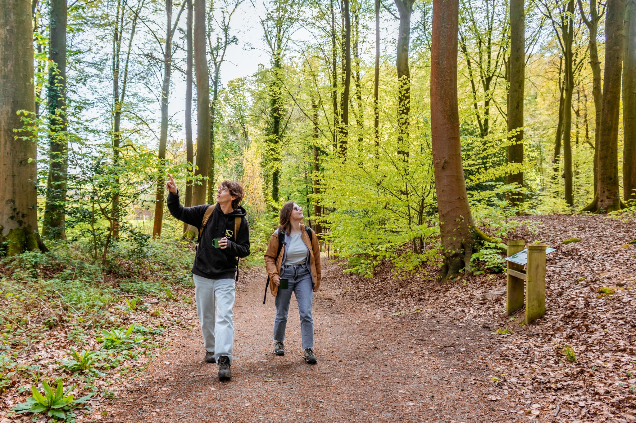
From station to station through nature – station hoppers in East Flanders
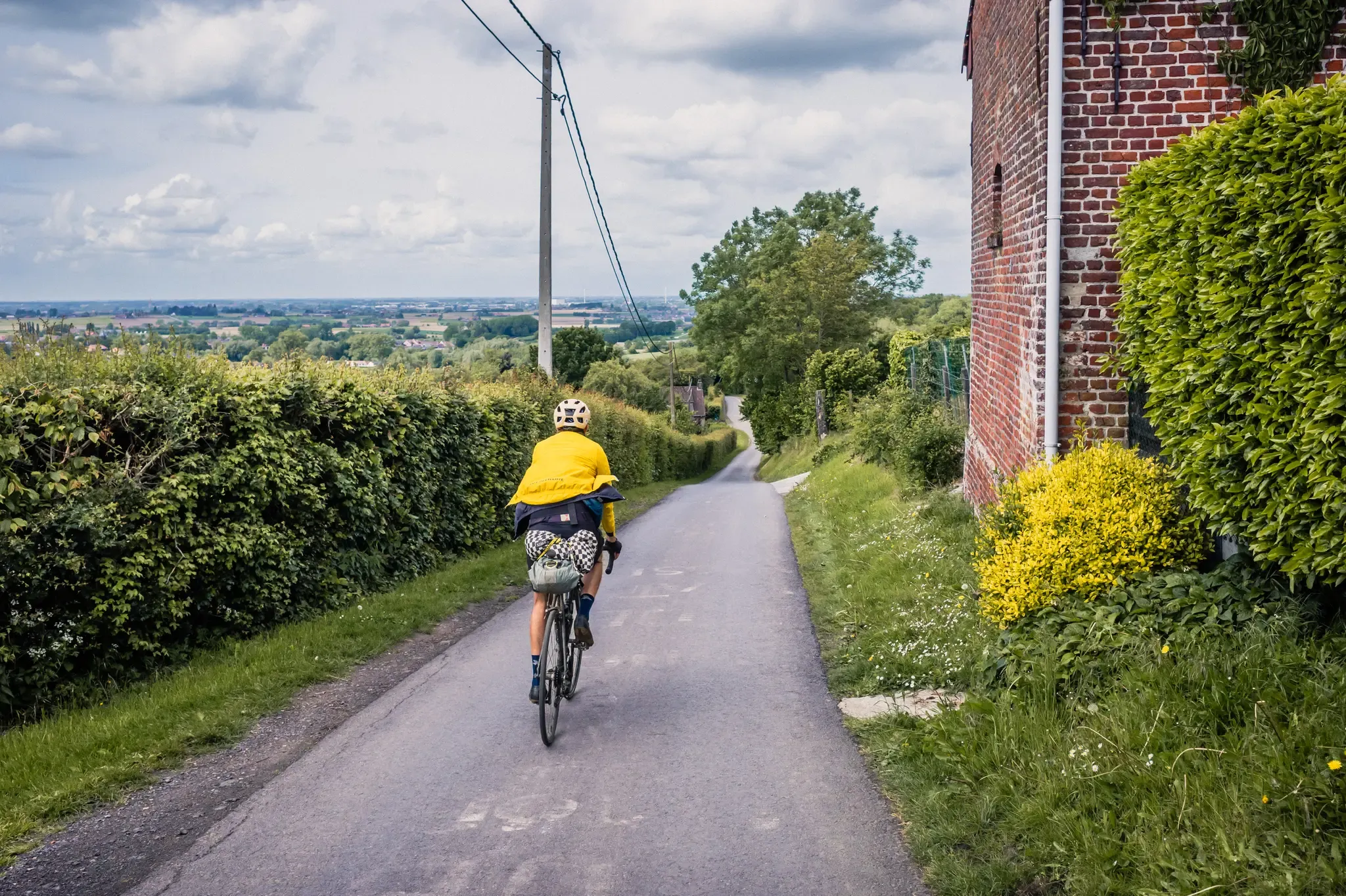
The Hilly Route from Brussels to Poperinge – bikepacking in Flanders
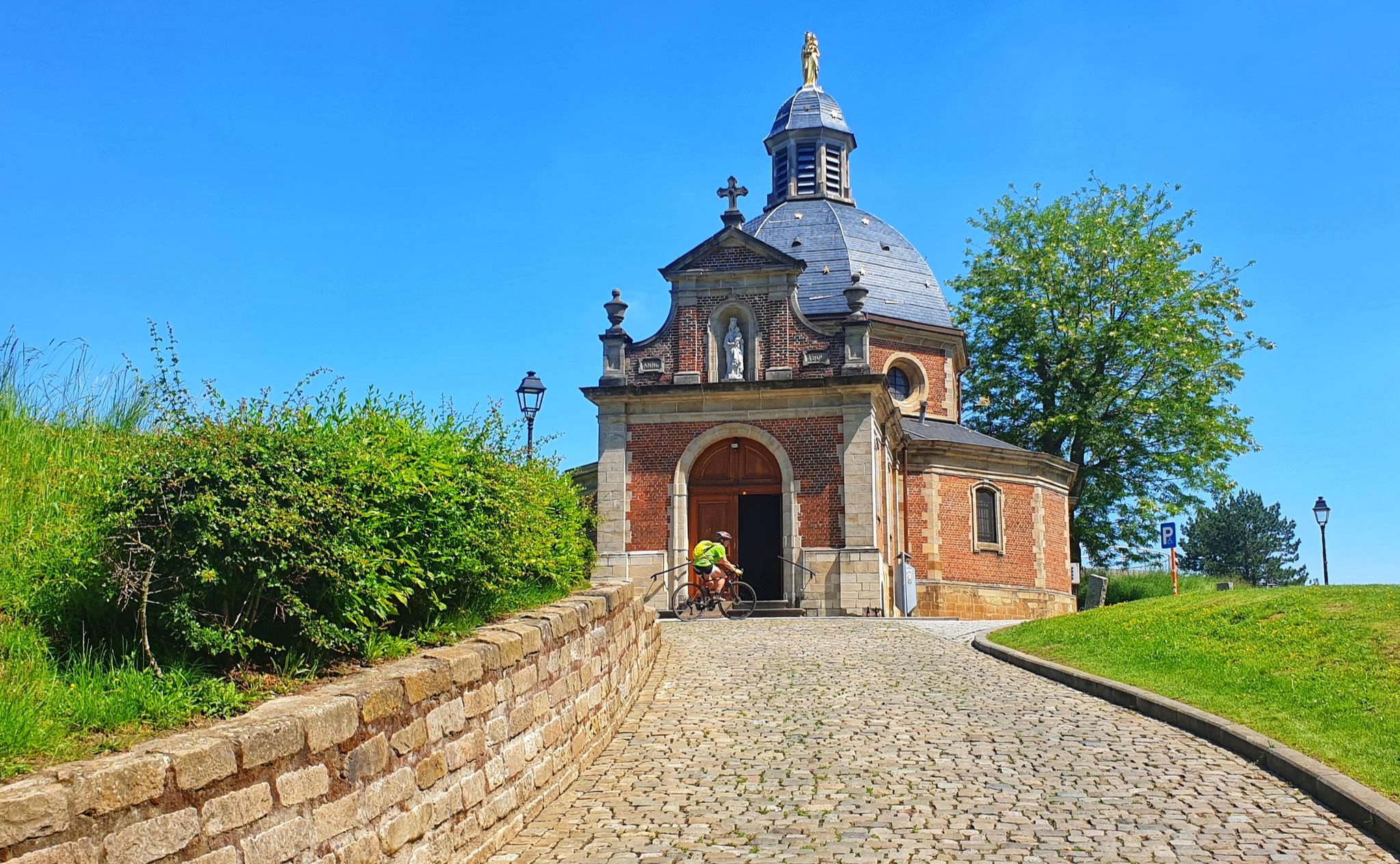
Through the heart of Flanders on a road bike in 2 days – Spartacus Route
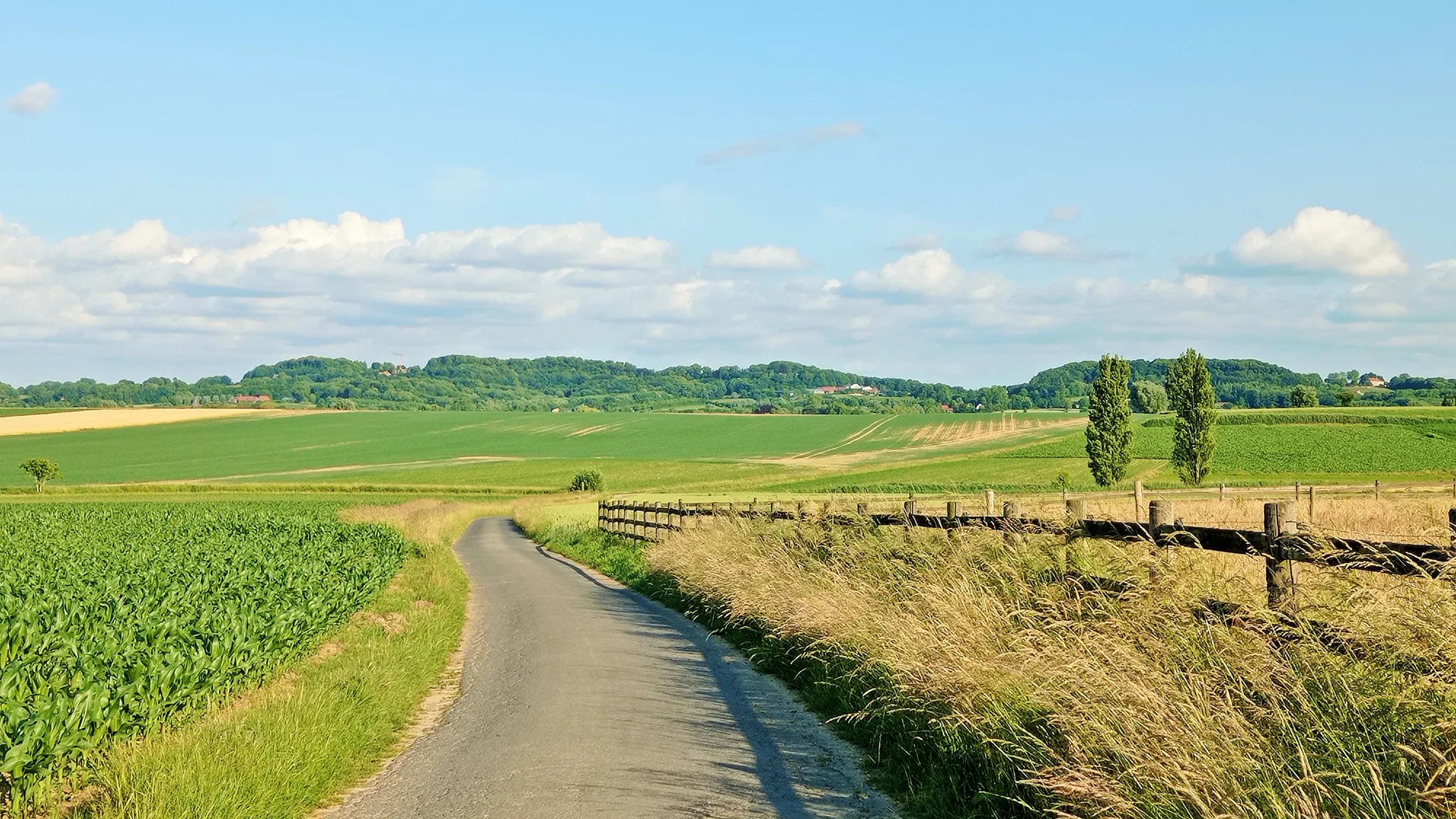
Seven-day Cycling tour through the South-Flemish hills – Hilly Route
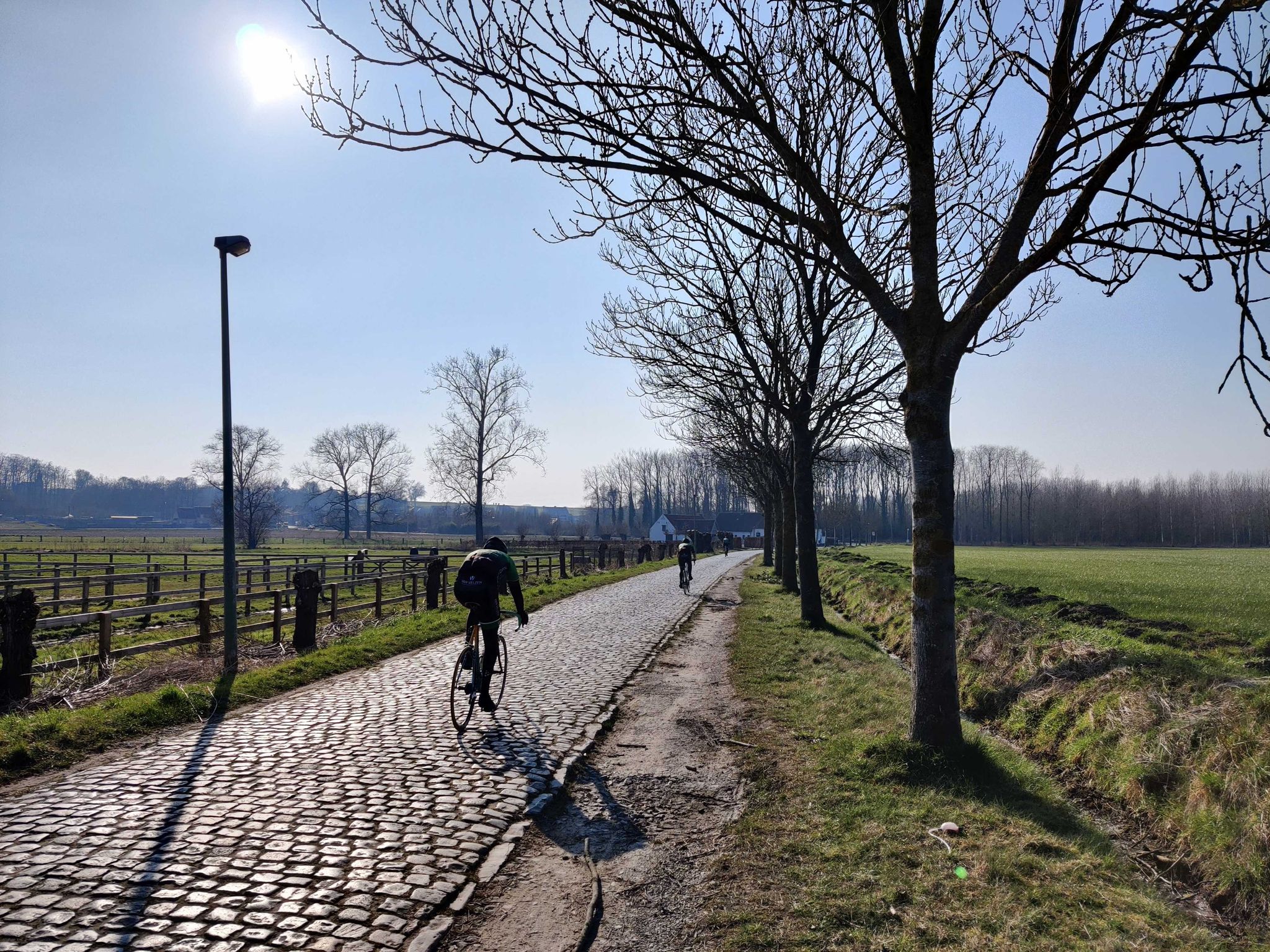
Become a Flandrien – take on climbs in the Flemish Ardennes
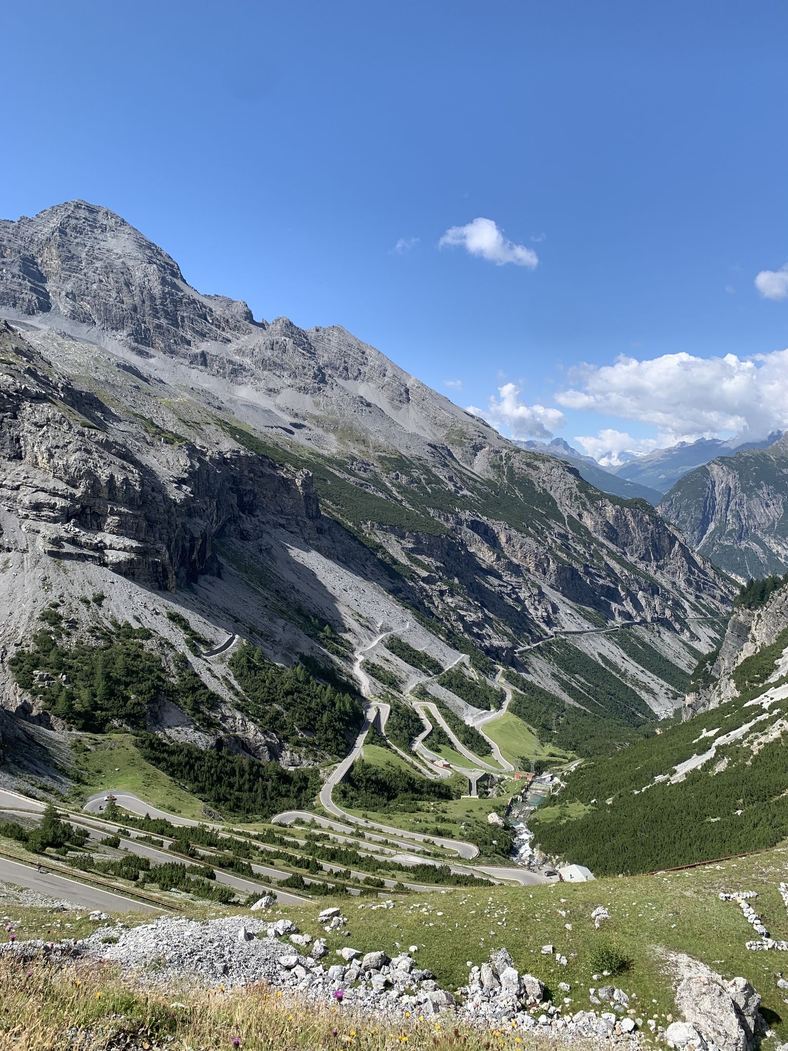
Transcontinental Race No9 2023
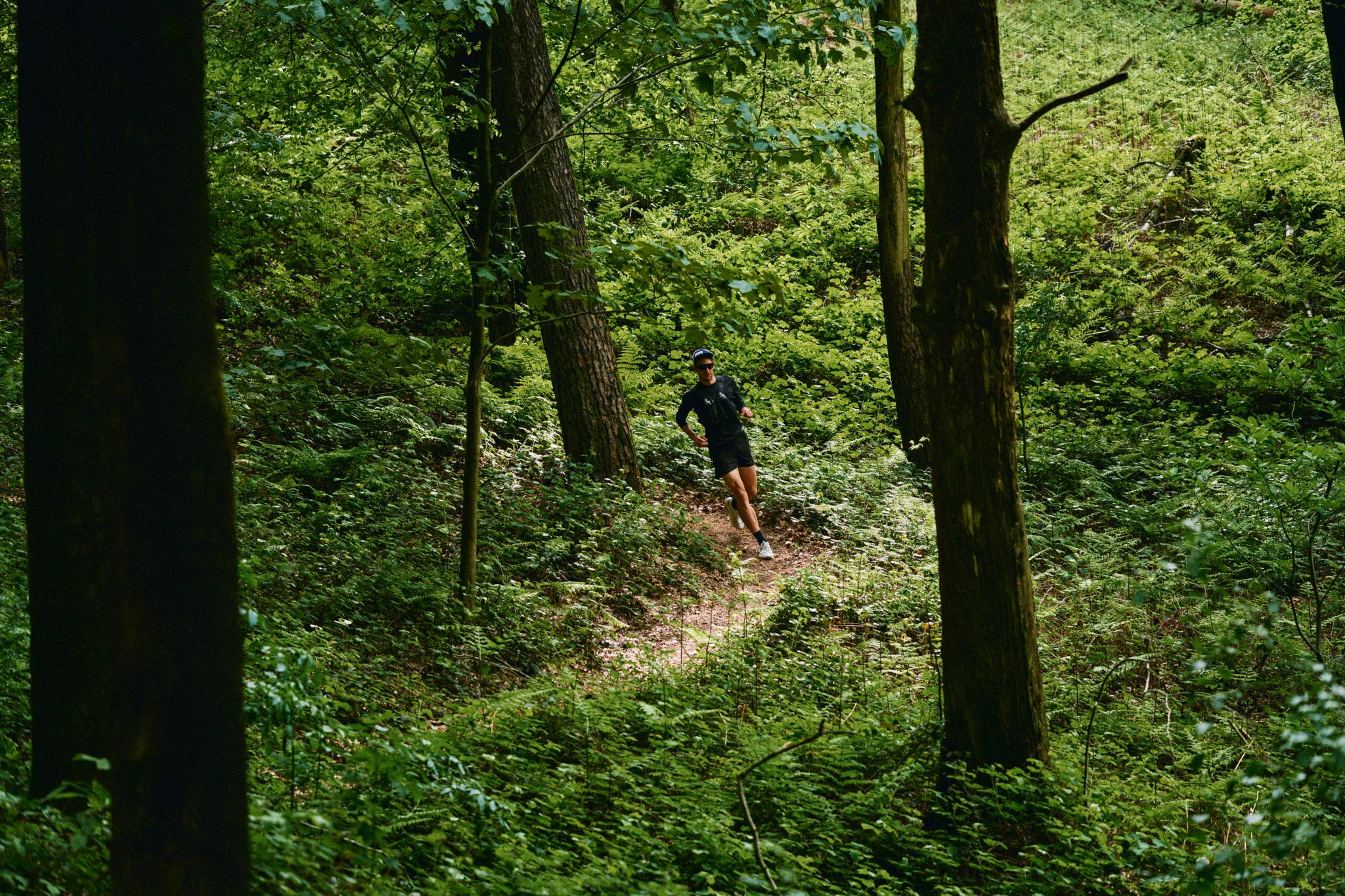
Through forests and fields – trail running in the Flemish Ardennes
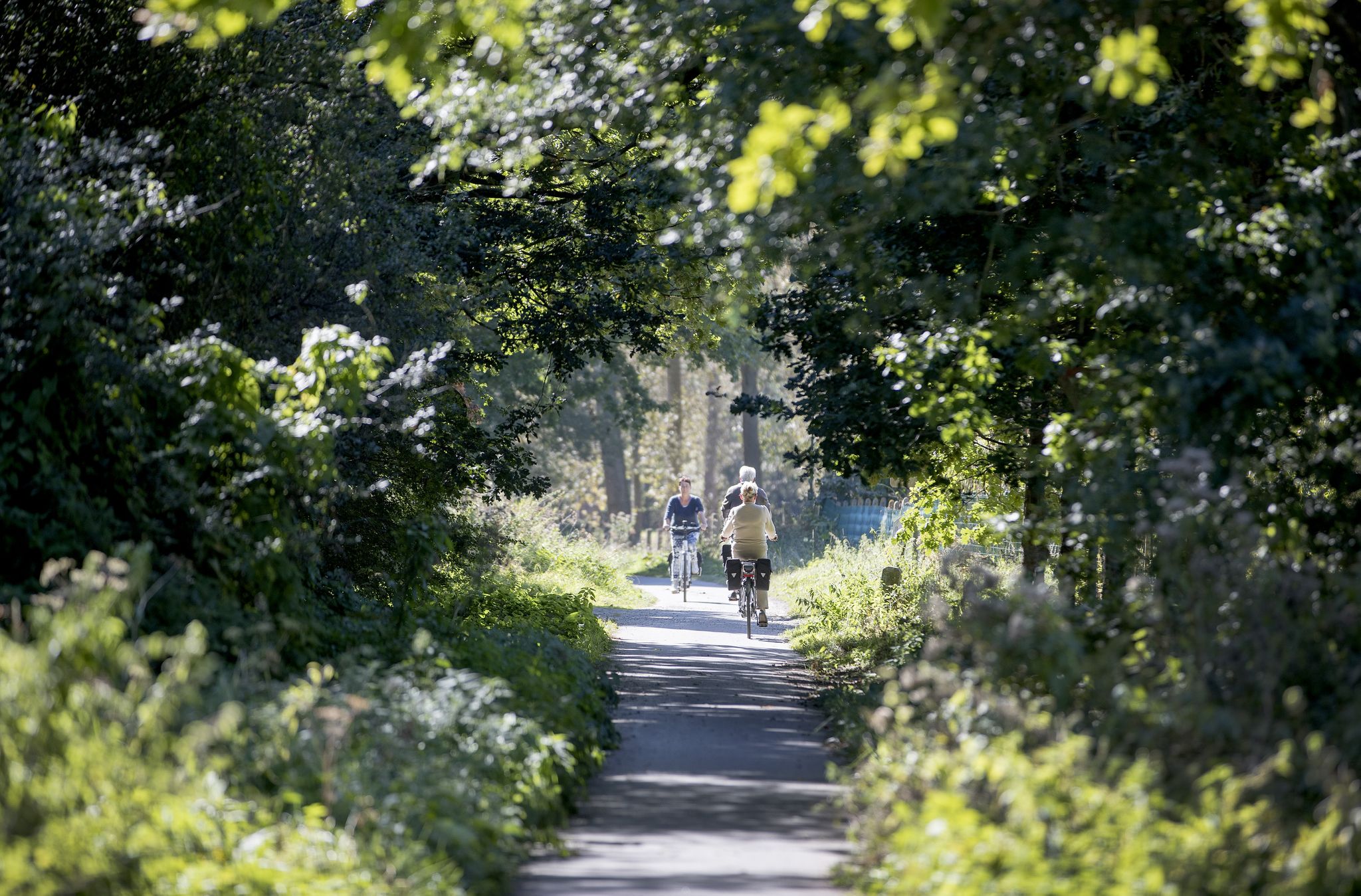
Discover the most beautiful corners of Flanders – Cycle Node Network
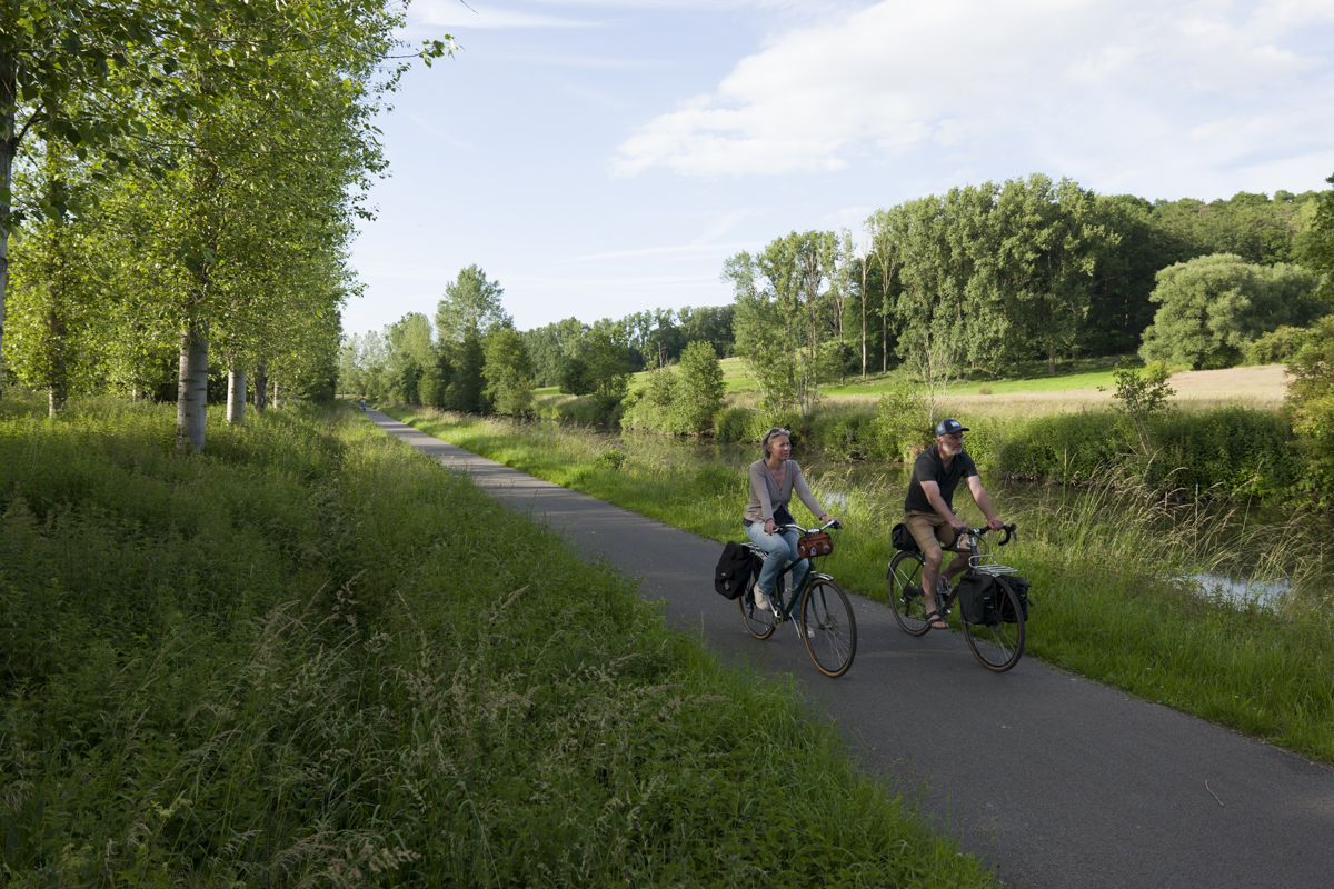
Cycling from Bethuné to Brussels – Eurovelo 5
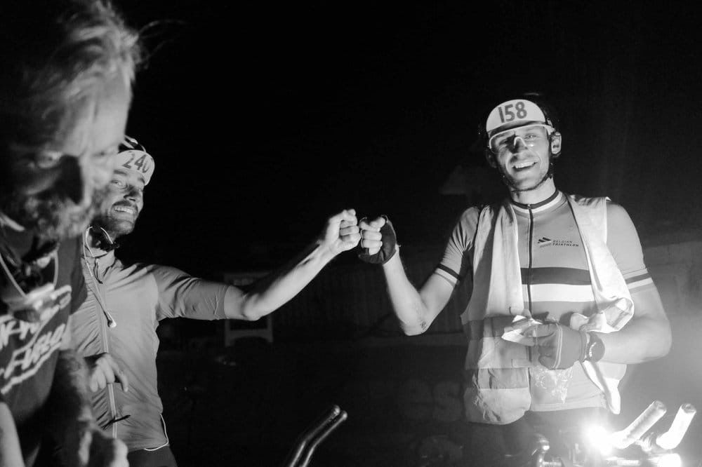
TCR No. 8 — racing across Europe
Other adventures around Geraardsbergen


Tips from the Community

The well-known nature education center De Helix will cease all its activities on July 1, 2026.
2
0

Youth Hostel 't Schipken is located on the banks of the Dender River, in a quiet corner of the De Gavers Provincial Estate in Geraardsbergen. Its waterfront location is no coincidence: historically, this was a region of transport, fishing, and recreation along the river. [hiflanders.be], [oost-vlaanderen.be]
5
0

Beautiful wooden path that takes you above a marshy area at the Gaverplas.
1
1

There are many different attractions around Gaverplas lake. People can be seen fishing on the lakeside banks. There is a big fountain, restaurants, bars and cafes. Many different paddle boats are at the main building section. Good new gravel tracks go around the lake. It is a popular area as the campsite is connected also and local people pass through
0
0
The Research Institute for Nature and Forest (INBO) has a 30-hectare research center in Grimminge (Geraardsbergen), around the Helix, the Flemish Knowledge and Training Center for Nature and the Environment. The research center is not only a research site but also houses several collections of rare native tree and shrub species, which contribute to the conservation of genetic diversity. The research center houses several "populeta." A populetum is a collection of living poplars. The poplars in this populetum belong to the North American species Populus deltoides and Populus trichocarpa, and to the European black poplar (Populus nigra), forming a unique collection in Europe. These poplars were used in the INBO breeding program to create healthy trees with rapid growth, straight trunks, and excellent wood quality for the wood-processing industry. (INBO)
11
0
It goes up a bit here, but you are rewarded with a beautiful panorama.
12
0
Public parking with unmarked spaces and a partially paved surface. Picnic tables are available near the parking lot.
12
0
The Raspaillebos has five marked walks: Natural Gas Walk (7.7 km), Farmland Landscape (4 km), Raspaillebos Walk (3.7 km), Window on the Landscape (2.5 km), and Bosberg Walk (2 km). (Agency for Nature & Forests)
8
0
Frequently Asked Questions
What kind of terrain can I expect when hiking in Geraardsbergen?
Hiking in Geraardsbergen offers a diverse landscape, characteristic of the Flemish Ardennes. You'll encounter rolling hills, dense woodlands, and open meadows. The terrain varies from the steeper features of the Flemish Ardennes to the gentler slopes of the Pajottenland, often including unpaved roads and forest paths.
Are there family-friendly hiking trails in Geraardsbergen?
Yes, Geraardsbergen offers over 200 easy hiking routes suitable for families. The De Nuchten Boardwalk – Bat-Friendly Pumping Station loop from Idegem is an easy 6 km trail that includes a notable 600-meter-long boardwalk, providing a pleasant and accessible experience for all ages through the De Nuchten Nature Reserve.
Can I bring my dog on the hiking trails in Geraardsbergen?
Many natural areas in Geraardsbergen, such as the Raspaillebos and Kordaalbos, are generally welcoming to dogs. However, it's always recommended to keep your dog on a leash and check for any specific local regulations or signage within nature reserves to ensure a pleasant experience for everyone.
Are there many circular hiking routes available in Geraardsbergen?
Yes, Geraardsbergen features several excellent circular routes. A popular option is the View of the Raspaillebos – Raspaille Forest loop from Onkerzele, a moderate 16.1 km path that takes you through dense woodlands. Another is the Lake De Gavers – De Nuchten Boardwalk loop from Zandbergen, a 15 km trail passing through the De Nuchten Nature Reserve and by Lake De Gavers.
Which hiking trails are accessible by public transport in Geraardsbergen?
For convenient public transport access, consider the Stationstapper: Zandbergen station to Geraardsbergen station. This 15.9 km point-to-point trail connects two train stations, making it ideal for hikers relying on public transport.
What natural features or landmarks can I see along the hiking trails?
Geraardsbergen's trails offer a wealth of natural beauty and landmarks. You can explore the dense woodlands of the Raspaillebos, known for its diverse flora and fauna, including wild narcissus and bluebells in spring. The Poelaert Lake in De Gavers Provincial Domain is another scenic spot. For historical interest, the summit of De Oudeberg features a 17th-century Baroque chapel.
What are the best viewpoints in Geraardsbergen for hikers?
Hikers can enjoy magnificent panoramic views from several points in Geraardsbergen. The top of the iconic Muur van Geraardsbergen offers sweeping vistas. Additionally, the Bosberg, located within the Raspaillebos, provides stunning views over the Dender and Mark valleys, stretching towards the Brussels horizon. You can also find great views from the Congoberg.
What do other hikers enjoy most about hiking in Geraardsbergen?
The komoot community highly rates hiking in Geraardsbergen, with an average score of 4.4 stars from over 1,600 reviews. Hikers often praise the region's diverse terrain, from challenging climbs to serene forest paths, and the well-maintained trails that lead through picturesque landscapes and nature reserves like the Raspaillebos.
Are there any challenging hikes in Geraardsbergen?
While Geraardsbergen offers many easy and moderate trails, the region's hilly terrain, especially in the Flemish Ardennes, provides opportunities for more challenging hikes. The iconic Muur van Geraardsbergen, famous among cyclists, also offers a demanding ascent for hikers with rewarding views from the top. Overall, there are 23 difficult routes available for those seeking a greater challenge.
What is the best season to hike in Geraardsbergen?
Geraardsbergen is beautiful year-round, but spring (for wildflowers like wild narcissus and bluebells in Raspaillebos) and autumn (for vibrant foliage) are particularly popular. The diverse landscapes, including dense woodlands and open fields, offer unique charm in every season, though some paths might be muddy after rain.
Are there places to eat or drink along the hiking routes?
While specific cafes directly on every trail are not guaranteed, Geraardsbergen and its surrounding villages offer various establishments where hikers can refuel. The town center of Geraardsbergen itself has numerous options. Many routes pass through or near villages where you can find local pubs or cafes.
How long do hiking trails in Geraardsbergen typically take to complete?
Hiking trails in Geraardsbergen vary in length and duration. For example, the Raspaille Forest – View of the Raspaillebos loop from Zandbergen is a moderate 10.4 km trail that typically takes around 2 hours 47 minutes. Shorter, easy walks can be completed in under 2 hours, while longer, more challenging routes might take 4 hours or more.
Most popular routes around Geraardsbergen
Most popular attractions around Geraardsbergen

Get inspired with the komoot mobile app


Explore more
Browse the best Hikes in other regions.
