Top 20 Lakes around Wichelen
Best lakes around Wichelen are characterized by dynamic watery landscapes, influenced by the Scheldt River. The region features expansive natural areas like the Kalkense Meersen, a controlled floodplain spanning multiple municipalities. The nearby Donkmeer provides a serene oasis surrounded by greenery. These areas offer diverse natural environments for exploration.
Best lakes around Wichelen
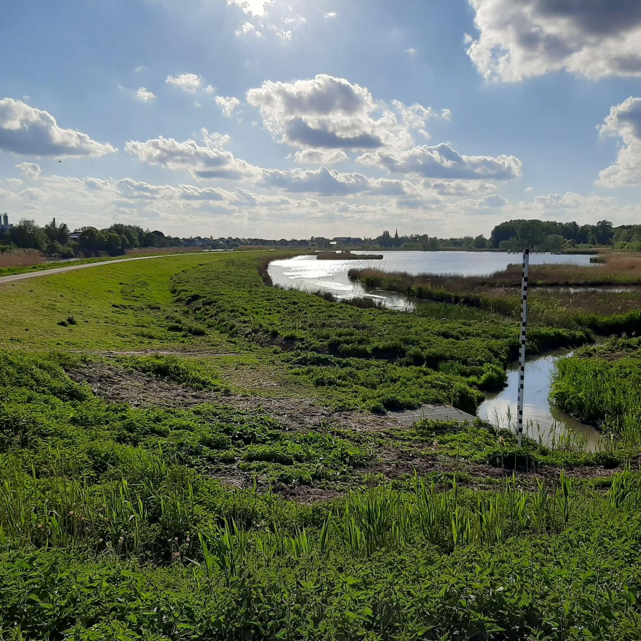
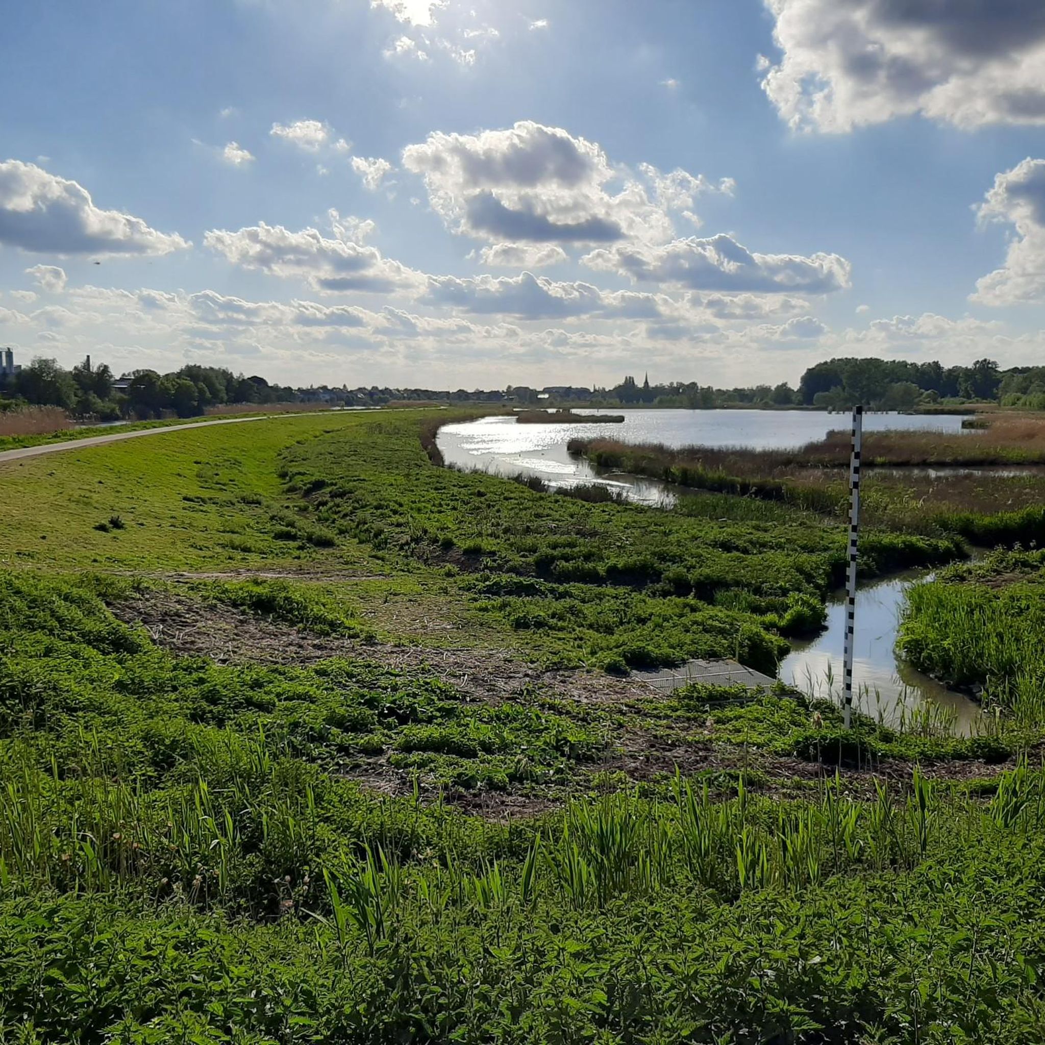
- The most popular lakes is Kalkense Meersen, an other natural area that functions as a controlled floodplain where the Scheldt River influences the landscape. This area…
Last updated: July 28, 2026
Kalkense Meersen
Highlight • Natural
Translated by Google •
Tip by

Donkmeer
Highlight • Lake
Translated by Google •
Tip by

Sign up now to discover places like this
Get recommendations on the best single tracks, peaks, & plenty of other exciting outdoor places.
Sign up for free
Peat Pits of Berlare Broek
Highlight (Segment) • Lake
Translated by Google •
Tip by

Berlare Castle Park
Highlight • Castle
The castle and outbuildings are not open to the public, but the park is.
Translated by Google •
Tip by

Damvallei Lake
Highlight (Segment) • Lake
Translated by Google •
Tip by
Sign up for free to discover even more lakes around Wichelen.
Sign up for free
Already have an account?
Start today with a free account
Your next adventure awaits.
Login or Signup



Tips from the Community

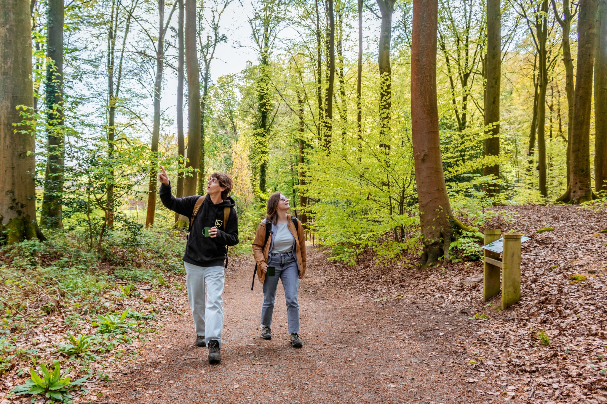
Walking through a sunken historyDid you know that the idyllic ponds in the Berlare Broek were created by human hands? Where you now enjoy chirping birds and reflecting trees, peat cutters toiled from 1686 onwards to extract precious fuel from the ground. Their back-breaking work in this ancient, cut-off Scheldt meander created more than fifty ponds. A beautiful piece of nature full of history where you can enjoy a wonderful walk through boardwalks and forest paths!
2
0


Nice to walk through with water on both sides.
14
1


During the preparation of the works, all areas of the castle and the outbuildings were cleared of "disturbing elements", so that the rooms now show their spaciousness of yesteryear in all their glory. Some interesting notes also emerged that provide a unique view of the history of the castle. This is how they came across the signatures of the craftsmen who worked in the castle in the distant past. Source: https://www.berlare.be/
2
0
In-depth restoration work on the castle has started since May 2023. The historic castle, outbuildings and orangery will be repurposed as the administrative center for municipal services. The works will last two years. The castle park will remain accessible during the works. Although certain parts are currently closed due to the site organization and the safety of visitors. The castle is now barely visible (as my photos show).
2
0

When you leave the information center, keep the lake on your right. The route past the chapel is not worth it unless you like residential areas. Once you reach the green area towards the duck decoy, the walk becomes really beautiful. At the campsite on the other side of the lake it is best to turn around and walk back. As you continue, you walk along the busy road surrounding the lake. Only the green side of the lake is worth it.
9
0

During the end of the last ice age, the Scheldt between Ghent and Dendermonde left behind various fossil meander bends, such as those of Overmere-Donk and the Dam valley in Laarne. About 10,000 years ago, the Overmere meander was cut off. It took thousands of years for the meander to be completely filled by silting processes, after which peat formation took place. The thick layer of peat remained virtually untouched until the second half of the 17th century. Only then did peat begin to be extracted. As part of this peat extraction, the eastern part of the old Scheldt meander was excavated again, transforming the area into a large water surface. It was only finally drained at the beginning of the last century. The vacated land was planted with willows for basket weaving. After the Second World War, poplars were planted for the production of matches. Today, these poplars are gradually being replaced by native tree and shrub species as part of current forest management.
4
0
Frequently Asked Questions
What unique natural features can I explore around Wichelen's lakes?
The region around Wichelen offers diverse natural features. The Kalkense Meersen is a dynamic controlled floodplain where the Scheldt River constantly influences the landscape, creating a unique interplay between water and land. You can also explore the Peat Pits of Berlare Broek, an area shaped by ancient Scheldt meanders and historical peat extraction, featuring an alternation of ponds and forests.
What kind of wildlife can I observe near the lakes?
The natural areas around Wichelen are rich in biodiversity. In the Kalkense Meersen, you can spot thousands of meadow birds and grazing Galloway cattle. Donkmeer is known as a serene oasis where visitors can observe local wildlife. The Damvallei Lake, a low moor ecosystem, is home to many birds, dragonflies, frogs, and salamanders.
Are there good hiking opportunities around the lakes?
Yes, there are numerous hiking opportunities. The Kalkense Meersen Donkmeer hiking route network offers 165 kilometers of tranquil green pathways. The Berlarebroek Nature Reserve also has walking paths through its forest and swampy areas. For more detailed routes, you can find various options, including easy, moderate, and difficult trails, on the Hiking around Wichelen guide.
Can I go cycling near the lakes?
Absolutely. The Kalkense Meersen is ideal for cycling, offering extensive opportunities along the Scheldt. You can find several road cycling routes, such as the 'Schoonaarde Towpath – Kalkense Meersen loop', on the Road Cycling Routes around Wichelen guide.
Are there any family-friendly lakes or natural areas to visit?
Many areas around Wichelen are family-friendly. The Kalkense Meersen, Peat Pits of Berlare Broek, Berlarebroek Nature Reserve, and Damvallei Lake are all suitable for family outings, offering gentle paths and opportunities to enjoy nature. Berlare Castle Park also provides a pleasant environment for families with its landscaped garden and ponds.
What is the best time of year to visit the lakes around Wichelen?
The Kalkense Meersen is particularly beautiful during seasons when the water dynamics are most active, offering a 'masterly spectacle of rushing wind, wonderful silence and flushing water.' Spring and autumn are generally excellent for hiking and cycling due to milder temperatures and vibrant natural colors. Winter can also offer unique views of the landscape, especially in areas like the Peat Pits of Berlare Broek where storm-damaged trees are more visible.
Are there any historical sites or parks with ponds near Wichelen?
Yes, Berlare Castle Park is a notable historical site. While the castle itself is not open to the public, the park, with its avenues, forest, and ponds, is accessible to walkers and cyclists. It has a rich history dating back to the 17th century, with its landscape evolving from a geometric French style to an irregularly shaped English landscape style.
What are the terrain and difficulty levels of trails in the Kalkense Meersen?
The Kalkense Meersen offers a network of hiking routes with generally tranquil green pathways. While specific elevation details are not provided, the area is characterized by its expansive meadows and proximity to the Scheldt, suggesting mostly flat terrain suitable for various fitness levels. You can find a mix of easy, moderate, and difficult running and hiking trails in the broader Wichelen area through the Running Trails around Wichelen and Hiking around Wichelen guides.
Are there any specific viewpoints to enjoy panoramic views of the landscape?
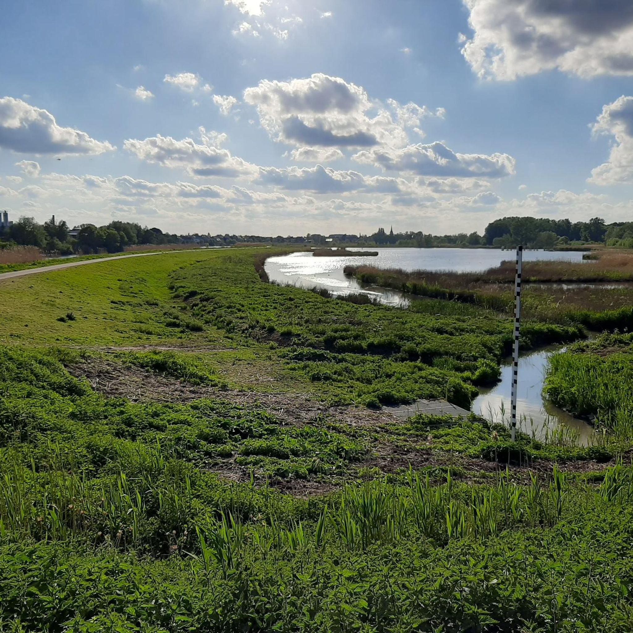
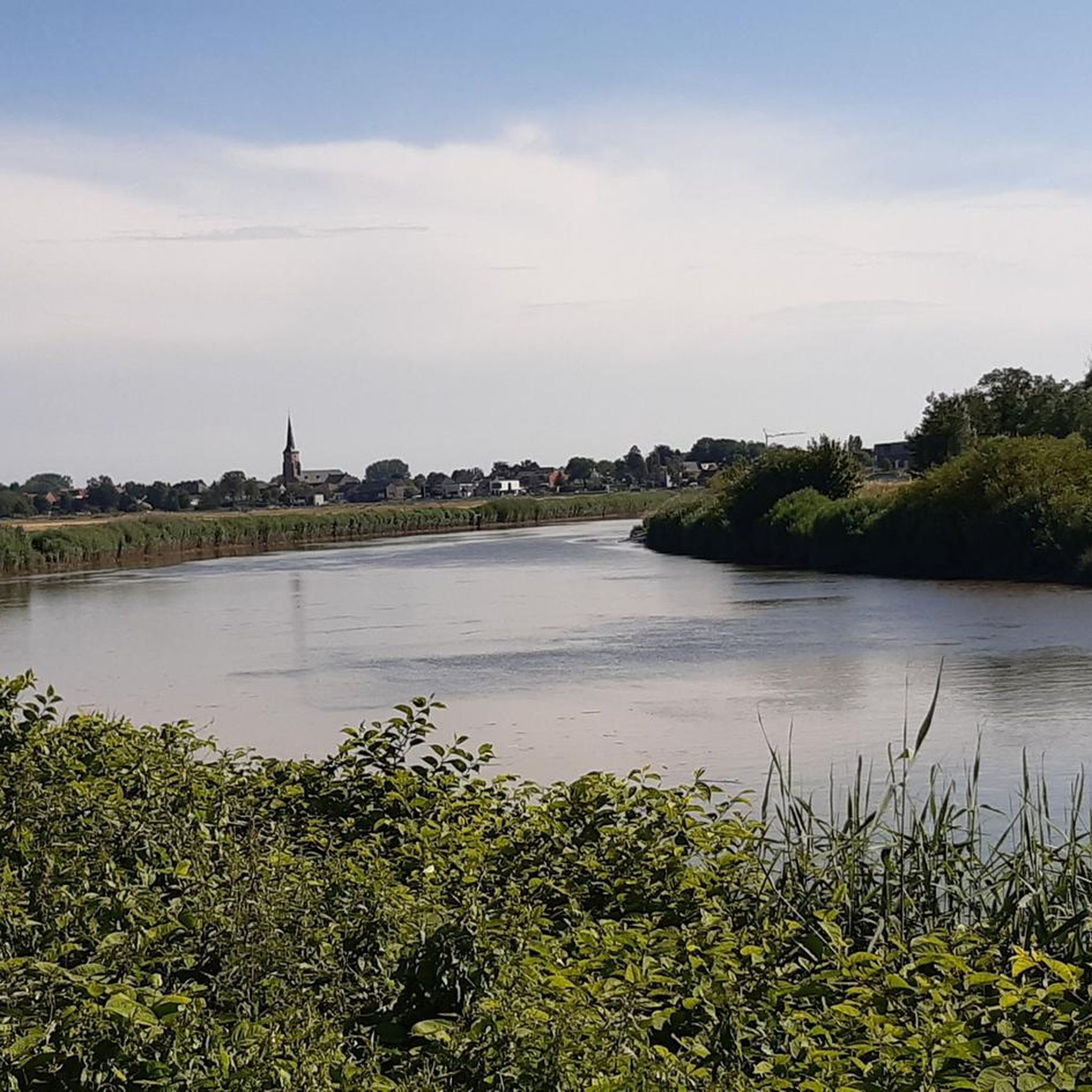
Yes, from the Scheldt dike in the Kalkense Meersen, you can enjoy beautiful panoramic views over the expansive landscape, including the mighty Scheldt River and the surrounding meadows.
What do visitors appreciate most about the lakes and natural areas near Wichelen?
Visitors frequently highlight the profound sense of peace and tranquility found in these areas. They enjoy the 'masterly spectacle of rushing wind, wonderful silence and flushing water' in the Kalkense Meersen, the rich biodiversity, and the extensive opportunities for cycling and walking. The combination of land and water, the abundance of birds, and the simple beauty of the landscapes are often mentioned as memorable aspects.
Is Donkmeer easily accessible from Wichelen?
Donkmeer is the nearest larger lake to Wichelen, situated approximately 2.5 km to the north-northeast. It is easily accessible for a peaceful escape, offering hiking routes around its perimeter for a serene experience.
Are there any specific areas known for peat pits and their unique environment?
Yes, the Peat Pits of Berlare Broek and the Berlarebroek Nature Reserve are prime examples. These areas were formed by ancient Scheldt meanders and subsequent peat extraction, resulting in a unique landscape of alternating ponds, forests, and swampy areas. The Damvallei Lake area is also a low moor ecosystem with numerous historical peat pits.
Most popular routes around Wichelen
Most popular attractions around Wichelen

Get inspired with the komoot mobile app


Explore more
Still not found your perfect lake around Wichelen? Check out the guides of these regions to see even more beautiful places.
