The best road cycling routes around Vahlberg
4.6
(237)
3,501
riders
113
rides
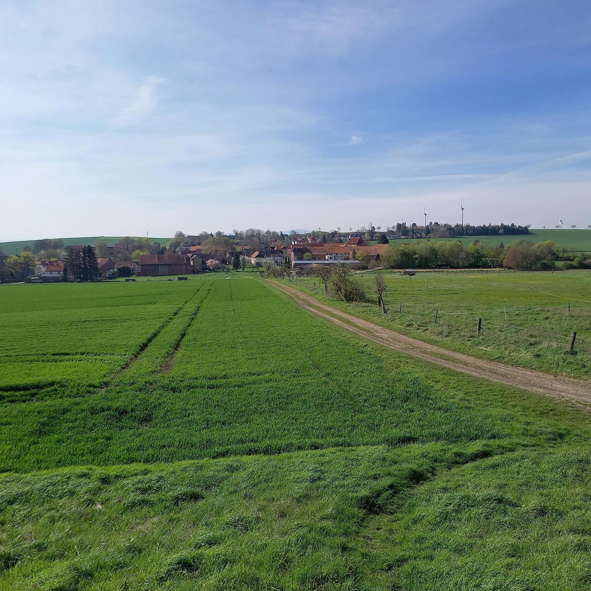
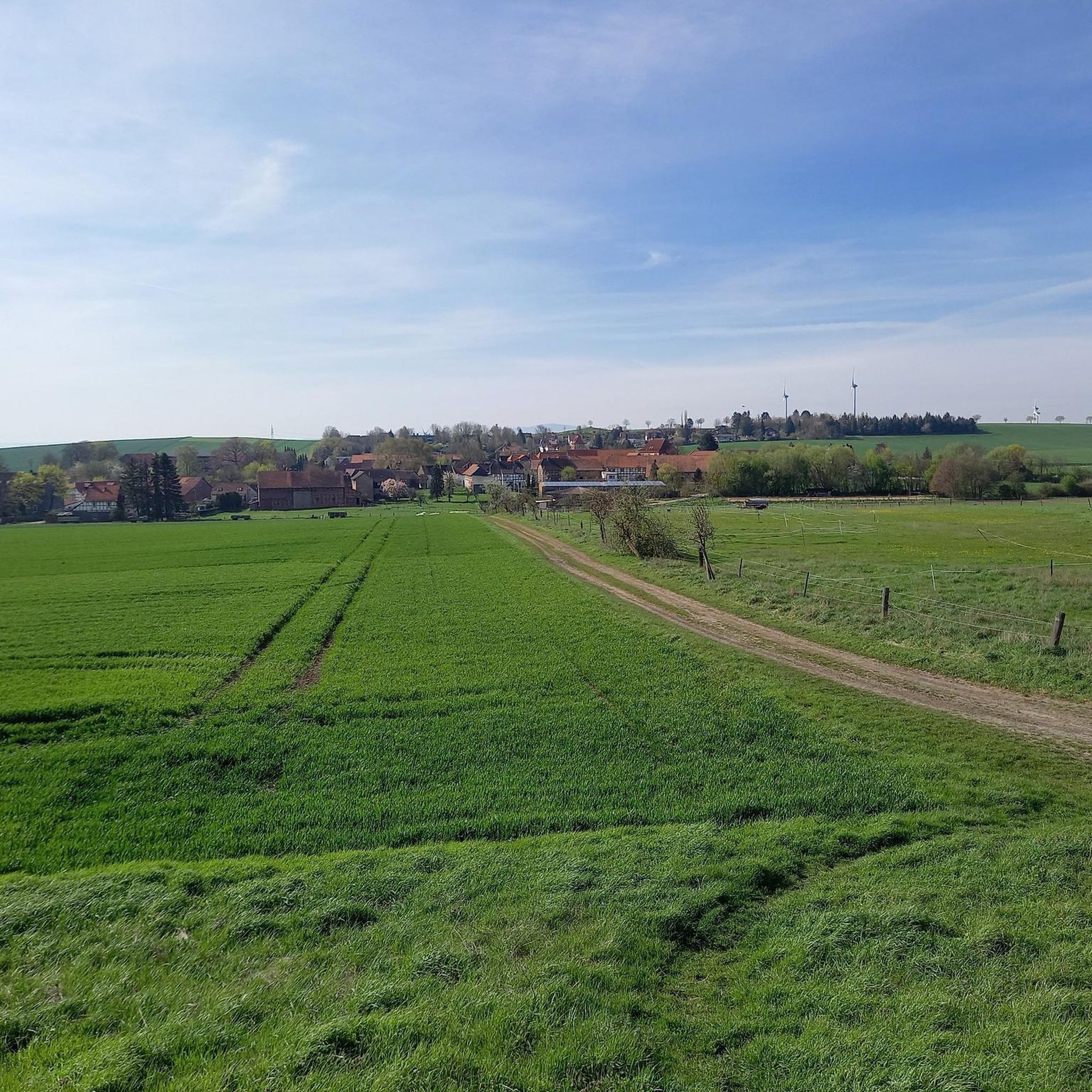
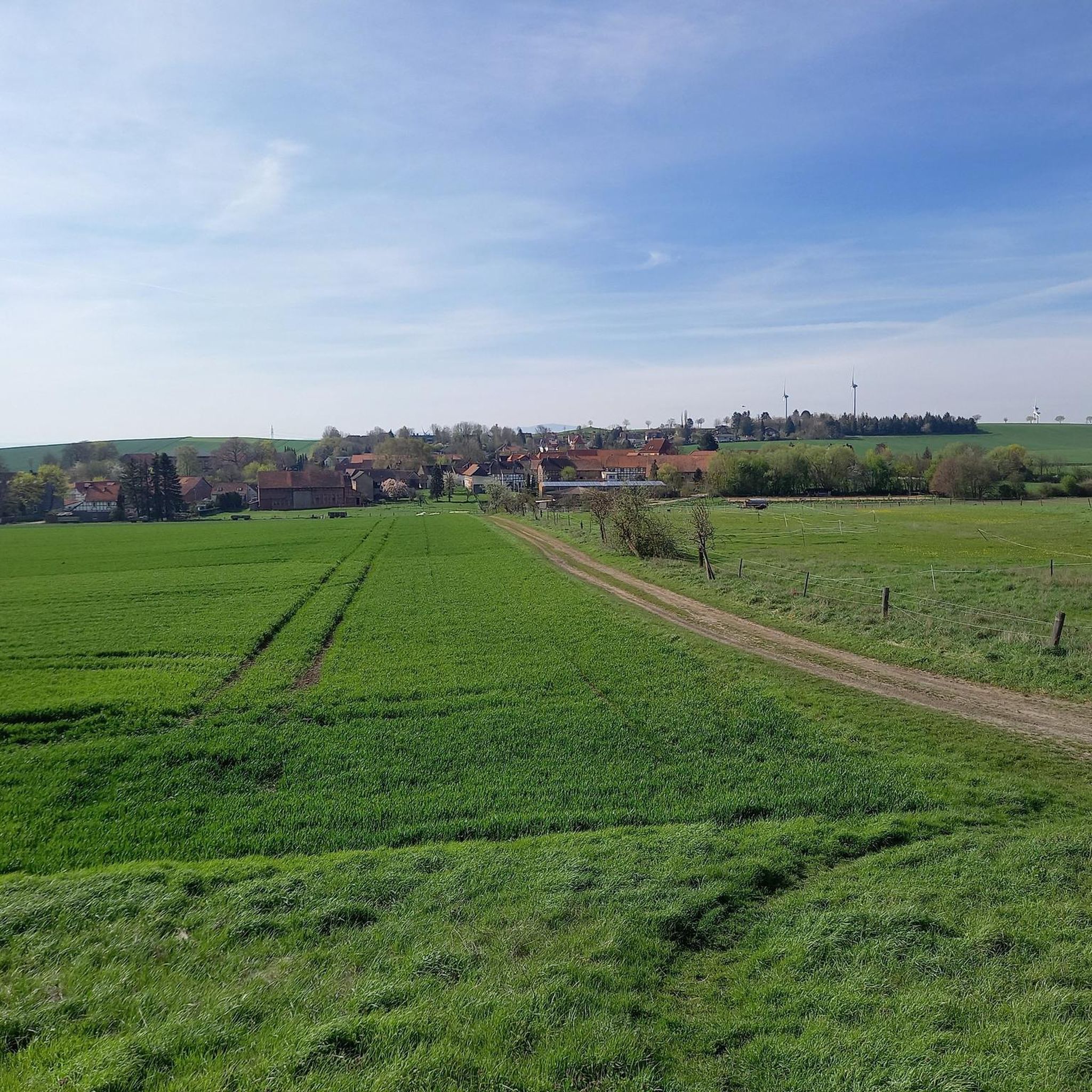
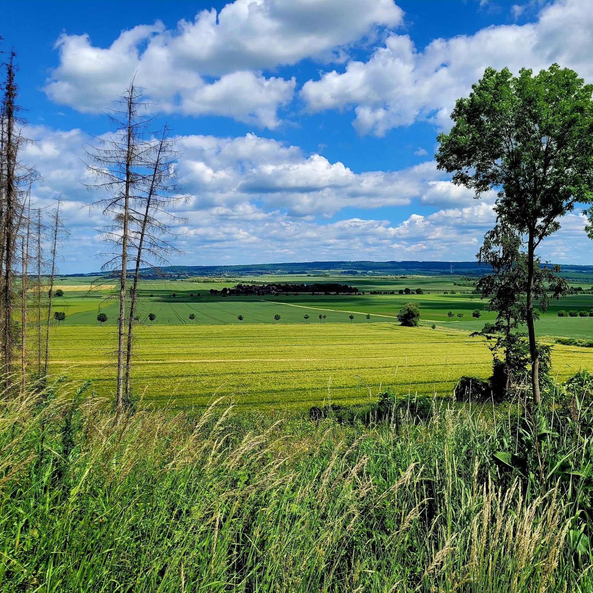
Road cycling routes around Vahlberg traverse a landscape characterized by rolling hills and open rural areas, offering distant views of the Brocken and the Asse Hills. The terrain includes agricultural fields, such as rapeseed fields, and sections with notable inclines like the 9% grade near Ampleben. Road cyclists can expect a mix of gentle gradients and more challenging climbs, with routes often following scenic country roads.
Best road cycling routes around Vahlberg
- The most popular road cycling route is View…
Last updated: May 24, 2026
4.0
(2)
123
riders
59.2km
02:28
320m
320m
Moderate road ride. Good fitness required. Mostly well-paved surfaces and easy to ride.
4.3
(3)
62
riders
73.4km
03:19
380m
380m
Moderate road ride. Good fitness required. Some segments of this route may be unpaved and difficult to ride.

Sign up for free
4.5
(2)
42
riders
Moderate road ride. Good fitness required. Mostly well-paved surfaces and easy to ride.
30
riders
10.4km
00:29
140m
140m
Easy road ride. Great for any fitness level. Mostly well-paved surfaces and easy to ride.
24
riders
Easy road ride. Great for any fitness level. Mostly well-paved surfaces and easy to ride.
Get access to more routes and recommendations from other explorers.
Sign up for free
Already have an account?
Our route recommendations are based on thousands of hikes, rides, and runs completed by other people on komoot.
Start today with a free account
Your next adventure awaits.
Login or Signup
Tips from the Community

Narrow but well-maintained cycle path
0
0

Short but brutal wall. The Garmin shoots up to 16 percent here and there. At the top, it then rolls nicely into the Elm.
0
0

Beautiful view at sunset
0
0

Very well paved path… Caution on both sides… Cyclists and pedestrians
0
0

A very nice highlight.
0
0
A very nice highlight.
0
0
It's worth taking a photo stop here.
0
0

A few meters high in the flatland
0
0
Frequently Asked Questions
How many road cycling routes are available around Vahlberg?
There are over 110 road cycling routes around Vahlberg, offering a variety of options for cyclists. These routes are primarily categorized as easy or moderate, with no difficult routes identified.
What kind of terrain can I expect when road cycling around Vahlberg?
Road cycling routes around Vahlberg feature a landscape of rolling hills and open rural areas. You'll encounter agricultural fields, including rapeseed fields, and enjoy distant views of the Brocken and the Asse Hills. Some sections, like near Ampleben, include notable inclines of up to 9%.
Are there any easy road cycling routes suitable for beginners or families around Vahlberg?
Yes, there are 42 easy road cycling routes around Vahlberg. An example of an easy route is the Scenic Rural Road – View of the Brocken loop from Remlingen-Semmenstedt, which is just under 10 km long. Another option is the View of rapeseed fields – View of the Countryside loop from Wittmar, offering pleasant, less challenging terrain.
What are some notable landmarks or viewpoints along the road cycling routes in Vahlberg?
While cycling around Vahlberg, you can enjoy distant views of the Brocken and the Asse Hills. For specific historical landmarks, consider exploring nearby castles such as the Asseburg Castle Ruins or Langeleben Castle Ruins. These offer interesting points to explore off the bike.
Are there any challenging climbs for experienced road cyclists in the Vahlberg area?
Yes, for experienced road cyclists seeking a challenge, routes around Vahlberg include sections with significant elevation gains. The 9% incline Ampleben – Elm-Lappwald Scenic Descent loop from Dettum is a popular choice, featuring a notable 9% incline that tests your climbing ability.
What do other road cyclists say about their experience in Vahlberg?
The road cycling routes around Vahlberg are highly rated by the komoot community, with an average score of 4.6 stars from over 240 reviews. Cyclists often praise the varied terrain, the scenic rural roads, and the expansive views towards the Brocken and the Asse Hills.
Are there any loop routes available for road cycling around Vahlberg?
Yes, many of the road cycling routes around Vahlberg are designed as loops. Popular examples include the View of the Brocken – View of the Brocken loop from Schöppenstedt and the View of the Asse Hills – View of the Asse loop from Dettum, both offering circular journeys through the scenic landscape.
Can I find bike parks or dedicated mountain biking trails near Vahlberg?
While this guide focuses on road cycling, there are bike parks and mountain biking trails in the broader area. Highlights include the Hexenkessel Bike Trail and various singletracks like the Singletrack Auf dem Klaare (Remlingen), which are more suited for mountain bikes.
What is the best time of year for road cycling in the Vahlberg region?
Given the agricultural landscape and open rural areas, spring and summer are generally excellent for road cycling around Vahlberg, especially when rapeseed fields are in bloom. Autumn also offers pleasant conditions with cooler temperatures and potentially colorful foliage. Always check local weather forecasts before heading out.
Are there options for parking near the road cycling routes in Vahlberg?
While specific parking areas are not detailed for every route, as a rural area, Vahlberg and its surrounding villages like Schöppenstedt and Dettum typically offer public parking options. It's advisable to check for parking availability at the start points of your chosen routes.
Are there any routes that offer views of specific natural features like forests or rivers?
The routes primarily offer views of rolling hills, agricultural fields, and distant vistas of the Brocken and Asse Hills. While not explicitly river-focused, the area is part of Lower Saxony, which features diverse natural landscapes. Some routes may skirt smaller wooded areas, such as those near the Elm-Lappwald Nature Park.
How long do the road cycling routes around Vahlberg typically take to complete?
The duration varies significantly by route and your cycling pace. For example, the moderate View of the Brocken loop from Schöppenstedt (59.2 km) typically takes around 2 hours 27 minutes, while the longer View of the Asse loop from Dettum (73.2 km) might take closer to 3 hours 20 minutes.
Most popular routes around Vahlberg
Most popular attractions around Vahlberg

Get inspired with the komoot mobile app


Explore more
Browse the best Road cycling routes in other regions.
