The best running trails around Saint-Léger
4.6
(28)
682
runners
52
runs
Jogging routes around Saint-Léger traverse a landscape characterized by rolling hills and dense woodlands, offering varied terrain for runners. The region features moderate elevation changes, with many routes incorporating local landmarks and natural features. Paths often follow established trails through the countryside, providing opportunities for both shorter and long distance jogging trails Saint-Léger.
Best jogging routes around Saint-Léger
- The most popular jogging route is Notre-Dame du Refuge Chapel – Wachet Way of the Cross loop from Châtillon, a 6.5…
Last updated: August 6, 2026
4.8
(4)
35
runners
10.4km
01:09
110m
110m
Moderate run. Good fitness required. Mostly paved surfaces. Suitable for all skill levels.
25
runners
6.13km
00:40
80m
80m
Moderate run. Good fitness required. Mostly paved surfaces. Suitable for all skill levels.

Sign up for free
5.0
(1)
14
runners
10.4km
01:07
110m
100m
Moderate run. Good fitness required. Mostly paved surfaces. Suitable for all skill levels.
15
runners
7.43km
00:48
80m
80m
Moderate run. Good fitness required. Mostly paved surfaces. Suitable for all skill levels.
5.0
(1)
12
runners
12.9km
01:22
110m
110m
Moderate run. Good fitness required. Mostly paved surfaces. Suitable for all skill levels.
Get access to more routes and recommendations from other explorers.
Sign up for free
Already have an account?
Our route recommendations are based on thousands of hikes, rides, and runs completed by other people on komoot.
Start today with a free account
Your next adventure awaits.
Login or Signup
Tips from the Community

A set of 14 crosses representing the different stages of Christ's passion. These stations were donated by pious donors whose names are inscribed on the back of each station.
2
0
This cross owes its name to Célestin Hissette, who died suddenly at this spot.
1
0
This cross marks the spot where Jean (Joseph by his real name) Dulieu - cattle dealer - returning from Saint-Léger to Vance was attacked and killed before being robbed of a large sum of money.
1
0
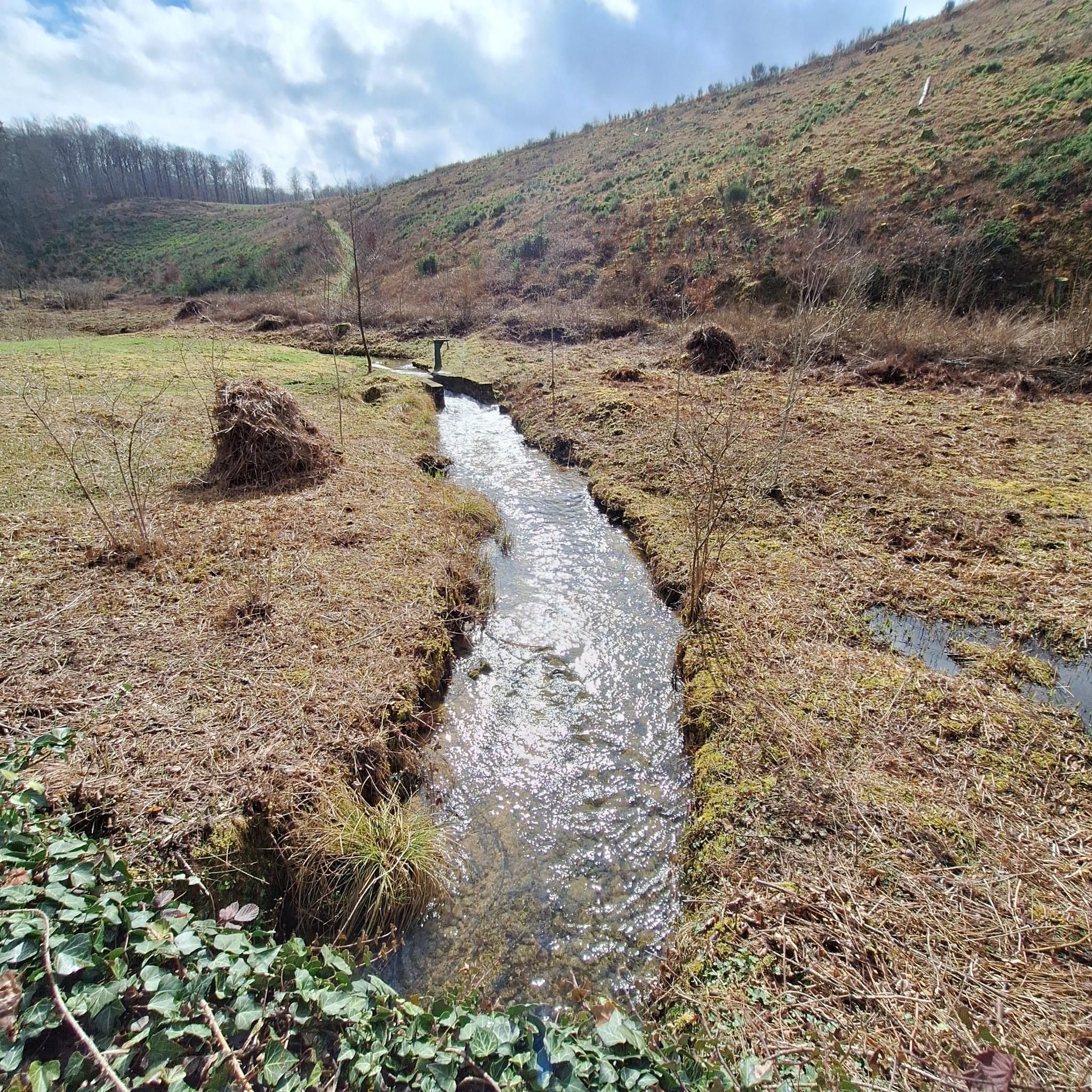
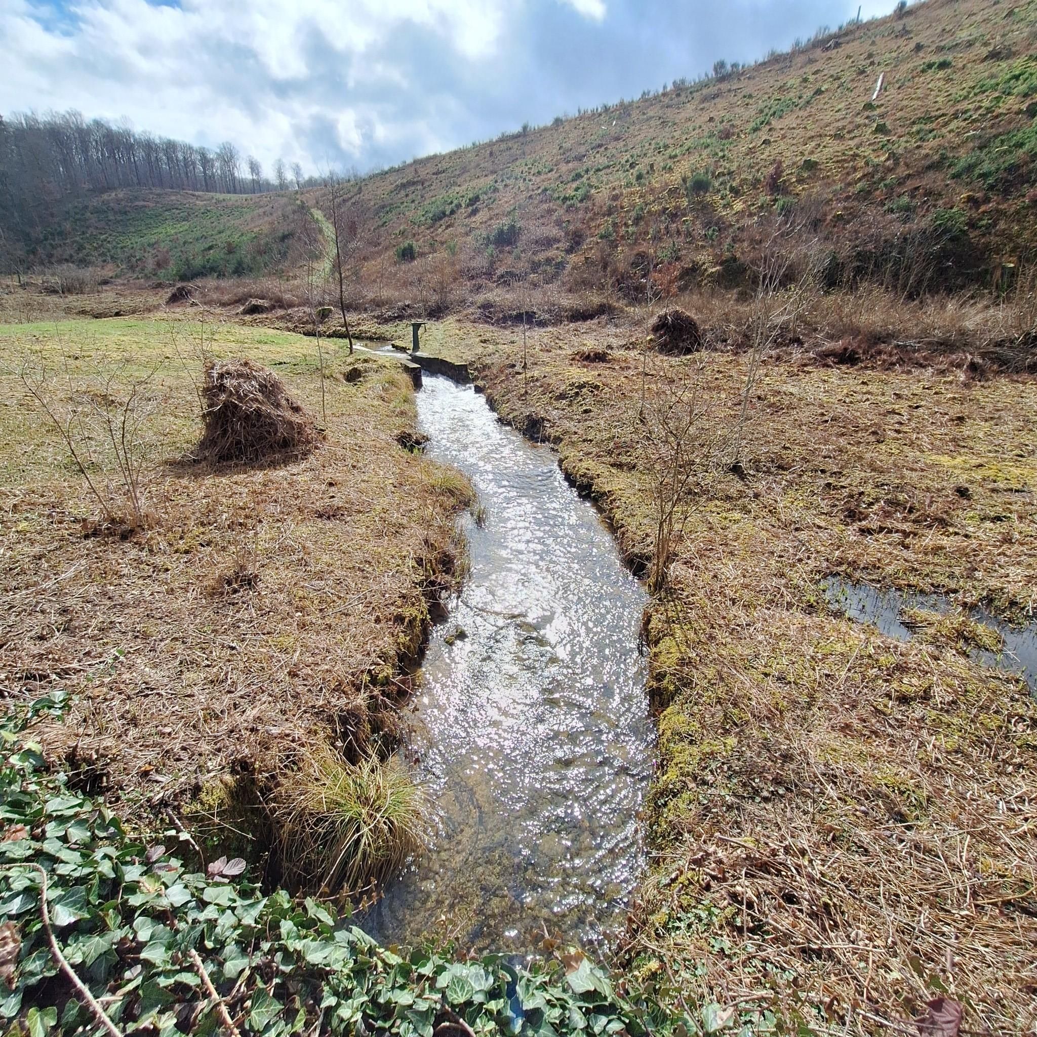
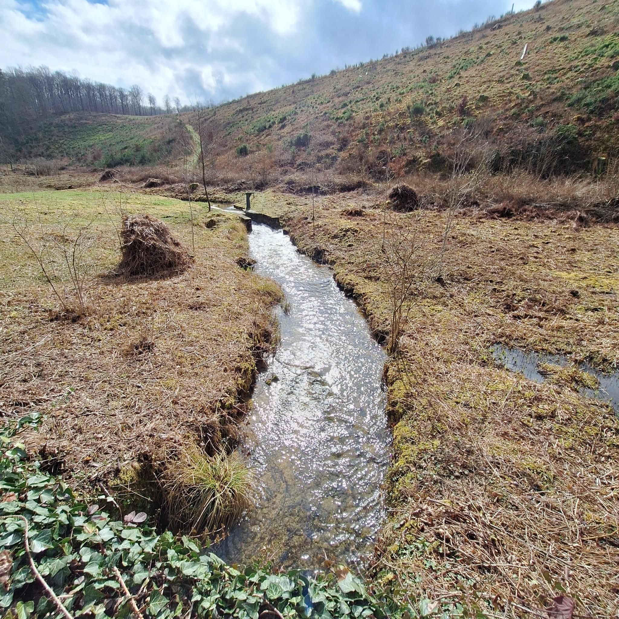
The origin of the place's name is mysterious. According to some, this name comes from a transcription of the name "Trou du Perdu" (Perisher's Hole). Amidst pine trees, heather, and blueberry bushes, this place represents a steep landscape where the Fourneau stream has shaped a gorge with a waterfall. A little higher up, a waterfall has formed and accentuates the erosion downstream. Above, the stream trickles over a slab of black sandstone. This formed above a significant layer of waterproof marl that stopped the infiltration of the sand present here to above it. A beautiful waterfall has formed due to the presence of the stream and the erosion that followed.
2
0

good point for a meal break
0
1

Beautiful rugged waterfall hidden between the dense forests. A great place to stop during your walk.
0
0

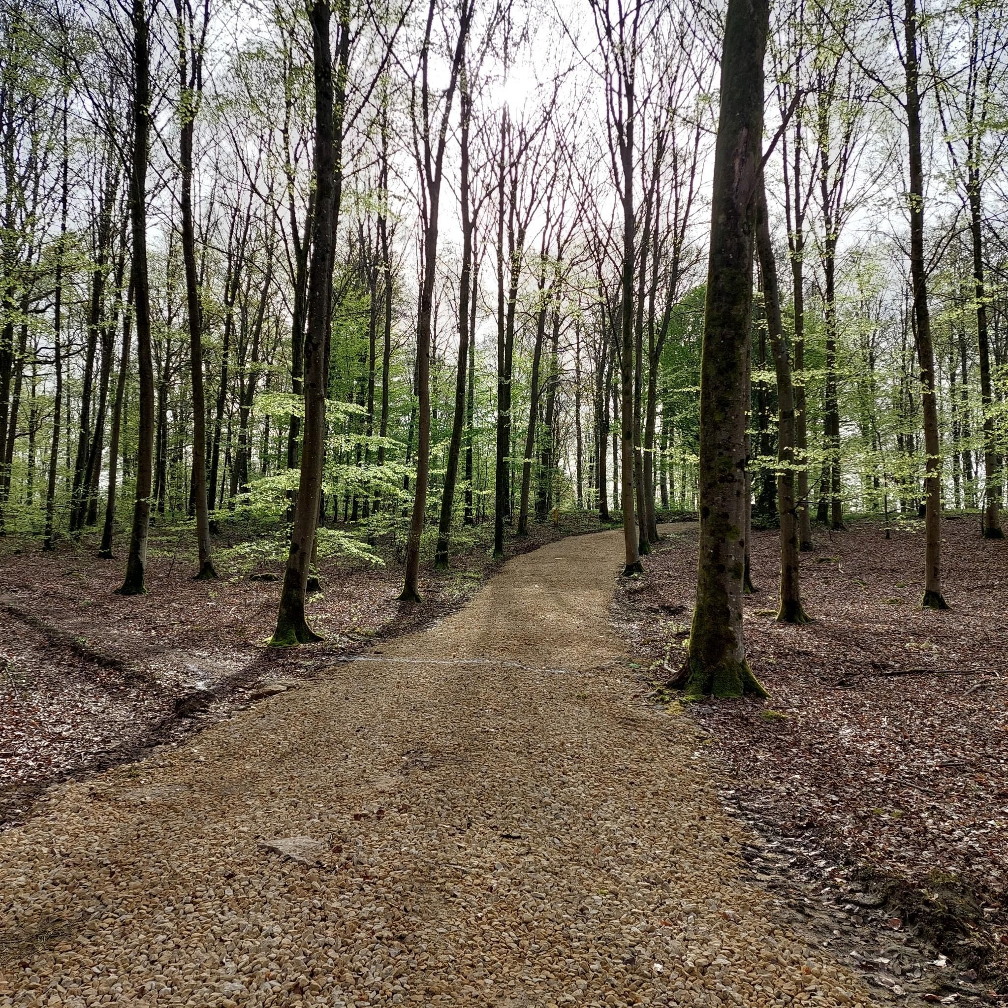
RAVeL Line 615 is a 4 kilometer cycle route that takes you through the heart of the Gaume. The route starts in Saint-Léger, where bees and honey are ubiquitous. During the route you cycle quietly and safely through a forest of pine trees, some of which are more than 100 years old. The tour ends in Châtillon, a village with buildings typical of the region.
6
0

And again a super nice section of the trail. The paths are really easy to drive.
3
0
Frequently Asked Questions
How many running routes are available in Saint-Léger?
There are over 50 dedicated running routes around Saint-Léger listed on komoot, offering a wide variety of options for all skill levels. These include 3 easy routes, 44 moderate routes, and 6 difficult routes.
What kind of terrain can I expect on running trails around Saint-Léger?
The running trails around Saint-Léger primarily traverse a landscape characterized by rolling hills and dense woodlands. You can expect moderate elevation changes, with many routes incorporating local landmarks and natural features. Paths often follow established trails through the countryside.
Are there easy running routes suitable for beginners in Saint-Léger?
Yes, Saint-Léger offers several easy running routes perfect for beginners or those looking for a more relaxed jog. There are 3 routes specifically categorized as easy, providing gentle terrain and shorter distances to help you get started.
Are there longer distance running trails in Saint-Léger for endurance training?
Absolutely. For those seeking longer distances, Saint-Léger has numerous options. For example, the Célestin Cross – Jean Dulieu cross loop from Saint-Léger is a moderate 10.9 km (6.8 miles) trail, and the Notre-Dame du Refuge Chapel – Wachet Way of the Cross loop from Châtillon covers 10.4 km (6.5 miles).
What are some interesting natural sights or landmarks I can see along the running routes?
Many running routes in Saint-Léger pass by interesting natural sights and landmarks. You might encounter features like the Fairies' Cave, the tranquil Tattert-Thiaumont Pond, or the historic Tranchée des Portes Oppidum. For scenic views, consider routes near the Éperons Barrés Viewpoint.
Are there any running routes that feature waterfalls?
Yes, if you're looking for a route with a waterfall, consider the Le Trou du Pérou – Trou du Pérou Waterfall loop from Châtillon. This moderate 7.4 km (4.6 miles) trail offers the chance to experience the Trou du Pérou Waterfall.
Can I find circular running routes in Saint-Léger?
Yes, many of the running routes in Saint-Léger are circular, offering convenient starting and ending points. Examples include the popular Notre-Dame du Refuge Chapel – Wachet Way of the Cross loop from Châtillon and the Célestin Cross – Jean Dulieu cross loop from Saint-Léger.
What do other runners enjoy most about jogging in Saint-Léger?
The running trails in Saint-Léger are highly rated by the komoot community, with an average score of 4.6 stars from over 20 reviews. Runners often praise the varied terrain, the peaceful woodlands, and the well-maintained paths that make for an enjoyable experience.
Are there any running routes near lakes or ponds in the Saint-Léger area?
Yes, the region around Saint-Léger features several beautiful lakes and ponds. You can find routes that pass by or are close to bodies of water such as the Tattert-Thiaumont Pond, Lake Messancy, and Fourneau David Pond, offering scenic waterside views during your run.
What is the best time of year for running in Saint-Léger?
Saint-Léger's rolling hills and woodlands make it suitable for running throughout much of the year. Spring and autumn offer pleasant temperatures and beautiful scenery with changing foliage. Summer is also popular, though it's advisable to run in the mornings or evenings to avoid the midday heat. Winter running is possible, but conditions may vary depending on snow and ice.
Are there any running routes starting from the village of Châtillon?
Yes, Châtillon serves as a convenient starting point for several popular running routes. These include the Notre-Dame du Refuge Chapel – Wachet Way of the Cross loop from Châtillon and the Running loop from Châtillon, both offering great ways to explore the local area.
Most popular routes around Saint-Léger
Most popular attractions around Saint-Léger

Get inspired with the komoot mobile app


Explore more
Browse the best Running Trails & Routes in other regions.
