The best running trails around Bassenge
4.7
(14)
666
runners
53
runs
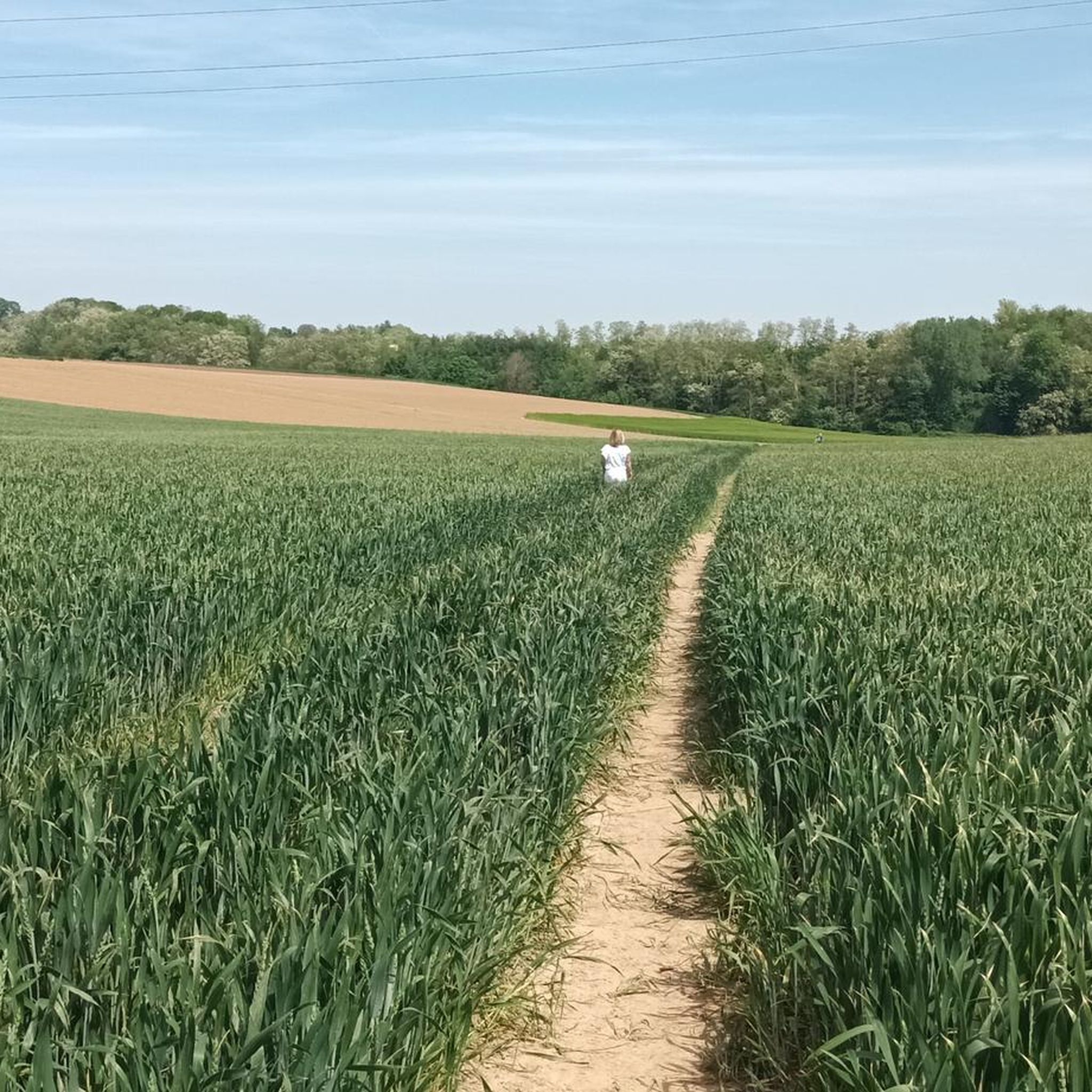
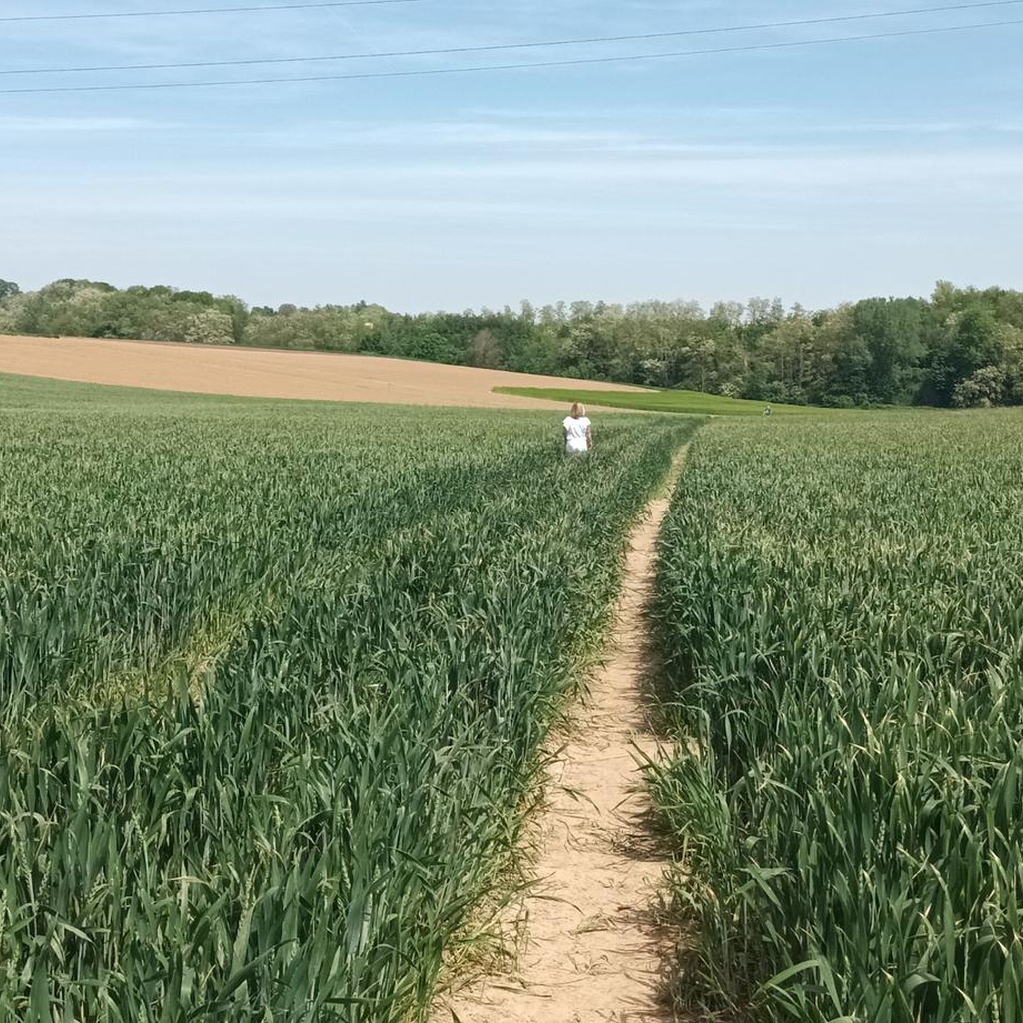
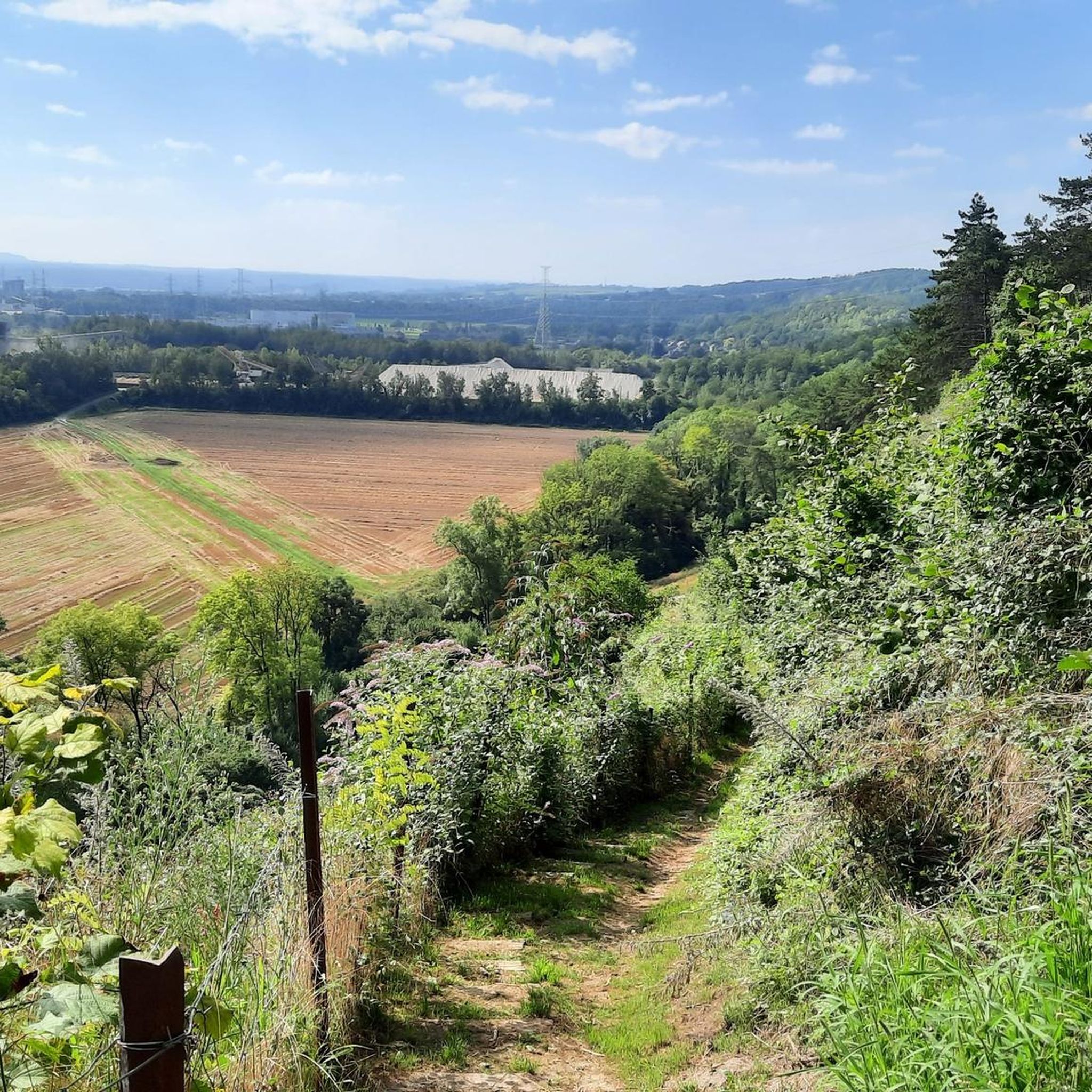
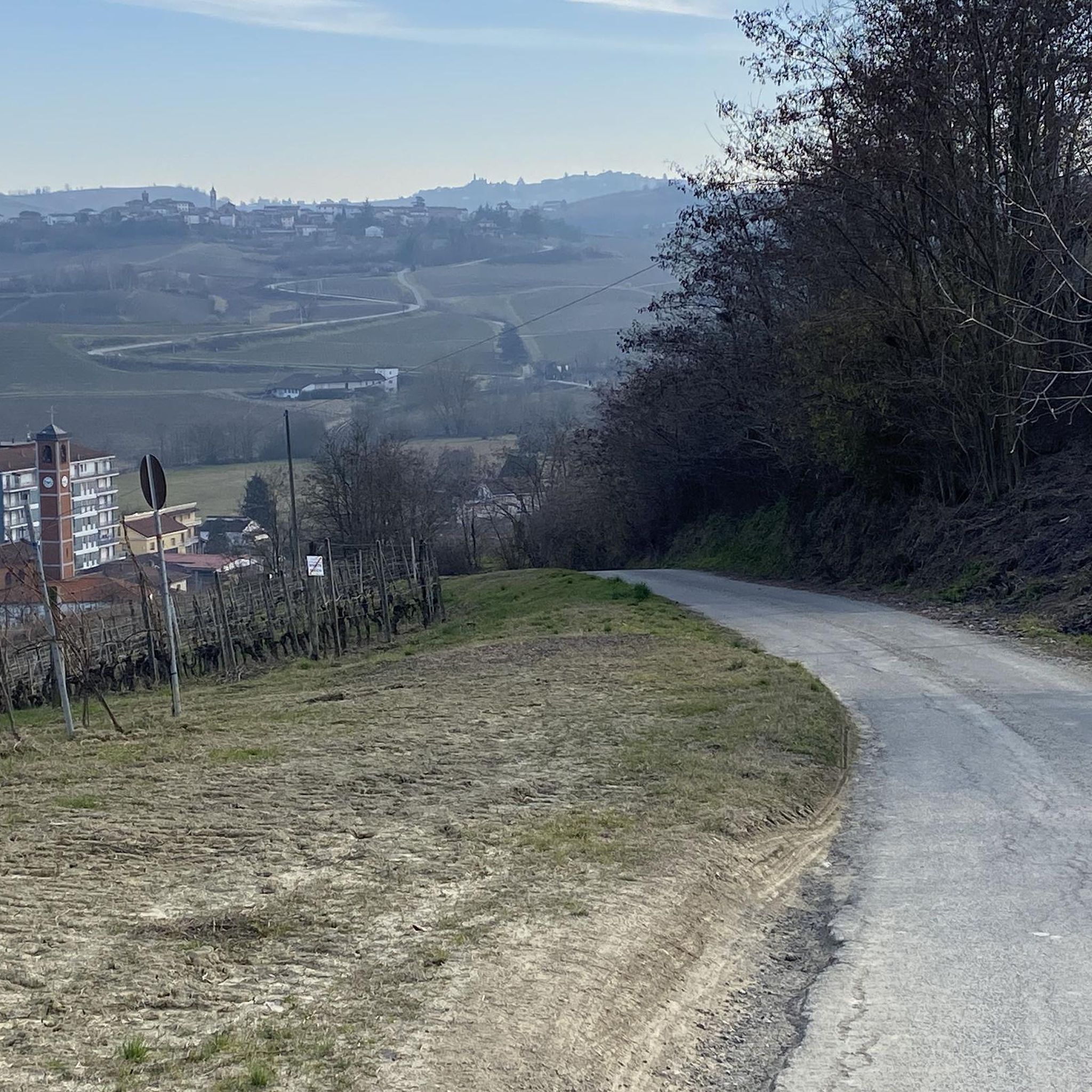
Jogging routes around Bassenge offer a varied landscape, characterized by the scenic Geer Valley and the elevated Montagne St-Pierre area. The region features a mix of forest tracks, paths across fields, and paved roads, providing diverse running environments. Joggers can expect routes with varied topography, including sections with notable elevation changes, suitable for different fitness levels.
Best jogging routes around Bassenge
- The most popular jogging route is Thier des Vignes Flint Caves – View of the Lanaye Locks loop from…
Last updated: August 13, 2026
4.7
(3)
66
runners
Moderate run. Good fitness required. Mostly paved surfaces. Suitable for all skill levels.
5.0
(1)
46
runners
9.57km
01:00
30m
30m
Moderate run. Good fitness required. Mostly paved surfaces. Suitable for all skill levels.

Sign up for free
43
runners
15.0km
01:33
70m
70m
Hard run. Very good fitness required. Mostly paved surfaces. Suitable for all skill levels.
43
runners
7.56km
00:47
20m
20m
Moderate run. Good fitness required. Mostly paved surfaces. Suitable for all skill levels.
31
runners
10.8km
01:16
170m
170m
Moderate run. Good fitness required. Mostly accessible paths. Some sure footedness required.
Get access to more routes and recommendations from other explorers.
Sign up for free
Already have an account?
Our route recommendations are based on thousands of hikes, rides, and runs completed by other people on komoot.
Start today with a free account
Your next adventure awaits.
Login or Signup


Other adventures around Bassenge

Tips from the Community

Spectacular hiking suspension bridge 50 meters above the water. The bridge connects the plateaus of Caestert and Eben-Emael.
3
0

The Passerelle is only accessible with a ticket. The number of visitors per day is limited. So be sure to reserve your ticket in advance. There is no internet on site. Download your ticket to your mobile phone or print it out. With this ticket, you directly contribute to the strengthening of the valuable nature in the Grenspark. Accessibility The Passerelle is only accessible on foot. Bicycles are not allowed, not even when pushed. It is best to leave your bicycle at one of the bicycle parking areas in the valley. The Passerelle is only accessible between sunrise and sunset and may sometimes be closed, e.g. in extreme weather conditions. The Passerelle is only reachable after an adventurous walk with stairs, slopes, and unpaved paths. The Passerelle itself is accessible for wheelchair users, but the paths to the Passerelle are only accessible for specialized all-terrain wheelchairs. For wheelchair users, there is a separate entrance gate that you can open with a specific ticket. You can walk back and forth on the Passerelle and leave the Passerelle on both sides via the entrance gates. If you leave the Passerelle, your ticket becomes invalid. If you want to enter the Passerelle again, you will need a new ticket (if still available). Make your visit a complete experience and combine your visit to the Passerelle with one of the circular walks in the Grenspark, see Step 2. You will cross the Albert Canal via the Passerelle and return to your starting point via another bridge over the canal.
3
0

The stairs are apparently well maintained. This time the handrails had all been renewed.
1
0

UFOs! Yes, a cool weird part of the landscape.
0
0
Nice bridge. If you can get on it. The ticket sales had a malfunction when I was there.
2
0
A fun suspension bridge spans the Albert Canal here. The bridge is not free. You can buy a ticket in advance on the website or try to pay electronically on site. The whole system had an "unknown error" when I arrived; I had to take a nice detour via Kanne.
2
0

definitely take the bridge. you have a nice view
3
0

If you like suspension bridges, you have to go, it's worth it! You have a beautiful view over the canal and can combine it with a great hike, I was thrilled!
4
0
Frequently Asked Questions
How many running routes are available in Bassenge?
Bassenge offers a wide selection of running routes, with over 45 options available. These routes cater to various fitness levels, ranging from easy jogs to more challenging runs.
Are there running routes suitable for beginners or easy jogs in Bassenge?
Yes, Bassenge features 4 easy running routes, perfect for beginners or those looking for a relaxed jog. These trails typically have minimal elevation gain and cover shorter distances, allowing for an enjoyable and accessible experience.
What kind of terrain can I expect on jogging trails in Bassenge?
Jogging routes in Bassenge offer a diverse landscape, characterized by the scenic Geer Valley and the elevated Montagne St-Pierre area. You'll encounter a mix of forest tracks, paths across open fields, and paved roads. Many routes also feature varied topography, including sections with notable elevation changes, providing a good challenge for runners.
Are there any circular running routes in Bassenge?
Yes, many of the running routes in Bassenge are circular, allowing you to start and finish at the same point. For example, the Boirs Chapel – La Grande Place loop from Bassenge is a popular 4.7-mile (7.6 km) circular trail that takes you through open fields and past local landmarks.
What interesting landmarks or natural features can I see along the running routes in Bassenge?
Bassenge's running routes often pass by fascinating landmarks and natural features. You might encounter historical sites like the Thier des Vignes Flint Caves, or enjoy views of the Lanaye Lock. The region is also known for the scenic Geer Valley and the Montagne St-Pierre area, offering beautiful natural backdrops for your run. Other notable points of interest in the wider area include the Broukay Mill, Fort Eben-Emael, and the unique Eben-Ezer Tower.
Are there any longer distance running trails for experienced runners in Bassenge?
Absolutely. For those seeking a longer challenge, Bassenge offers several routes over 10 km. The La Grande Place – Ancien Bras du Geer loop from Glons is a difficult 9.4-mile (15.1 km) route, while the Heyoule Nature Reserve – Limburg Gravel Path loop from Wonck provides a moderate 6.7-mile (10.8 km) path through varied terrain.
What do other runners enjoy most about jogging in Bassenge?
The running routes in Bassenge are highly rated by the komoot community, with an average score of 4.5 stars from over 10 reviews. Runners often praise the varied terrain, the mix of forest tracks and open fields, and the scenic beauty of the Geer Valley. The presence of historical sites and viewpoints also adds to the enjoyable experience.
Are there any running routes that pass through nature reserves in Bassenge?
Yes, you can find running routes that take you through beautiful natural areas. For instance, the Heyoule Nature Reserve – Limburg Gravel Path loop from Wonck winds through the Heyoule Nature Reserve, offering a chance to experience the region's natural beauty on gravel paths.
Can I find running routes with significant elevation changes for hill training in Bassenge?
Yes, the varied topography of Bassenge, particularly around the Montagne St-Pierre area, provides routes with notable elevation gains. Some trails offer up to 1,000 feet of elevation, making them ideal for runners looking to incorporate hill training into their routine.
Are there any running routes that offer views of the surrounding area?
Many routes in Bassenge provide excellent viewpoints. The Thier des Vignes Flint Caves – View of the Lanaye Locks loop from Eben-Emael, for example, offers stunning views of the Lanaye Locks and the surrounding landscape, combining historical interest with scenic vistas.
What is the best time of year to go running in Bassenge?
Bassenge offers enjoyable running conditions throughout much of the year. Spring and autumn provide pleasant temperatures and vibrant scenery, while summer is great for early morning or late evening runs. Even in winter, the forest tracks can be beautiful, though some paths might be muddy or require appropriate footwear.
Are there any running routes that are particularly quiet or less frequented?
While specific 'hidden gems' are often discovered by local exploration, many of Bassenge's routes, especially those venturing into forest tracks and across fields, offer a sense of tranquility away from busier areas. Exploring the numerous trails around the Geer Valley and Montagne St-Pierre can lead you to peaceful running experiences.
Most popular routes around Bassenge
Most popular attractions around Bassenge

Get inspired with the komoot mobile app


Explore more
Browse the best Running Trails & Routes in other regions.
