The best running trails around Dison
4.4
(593)
20,074
runners
50
runs
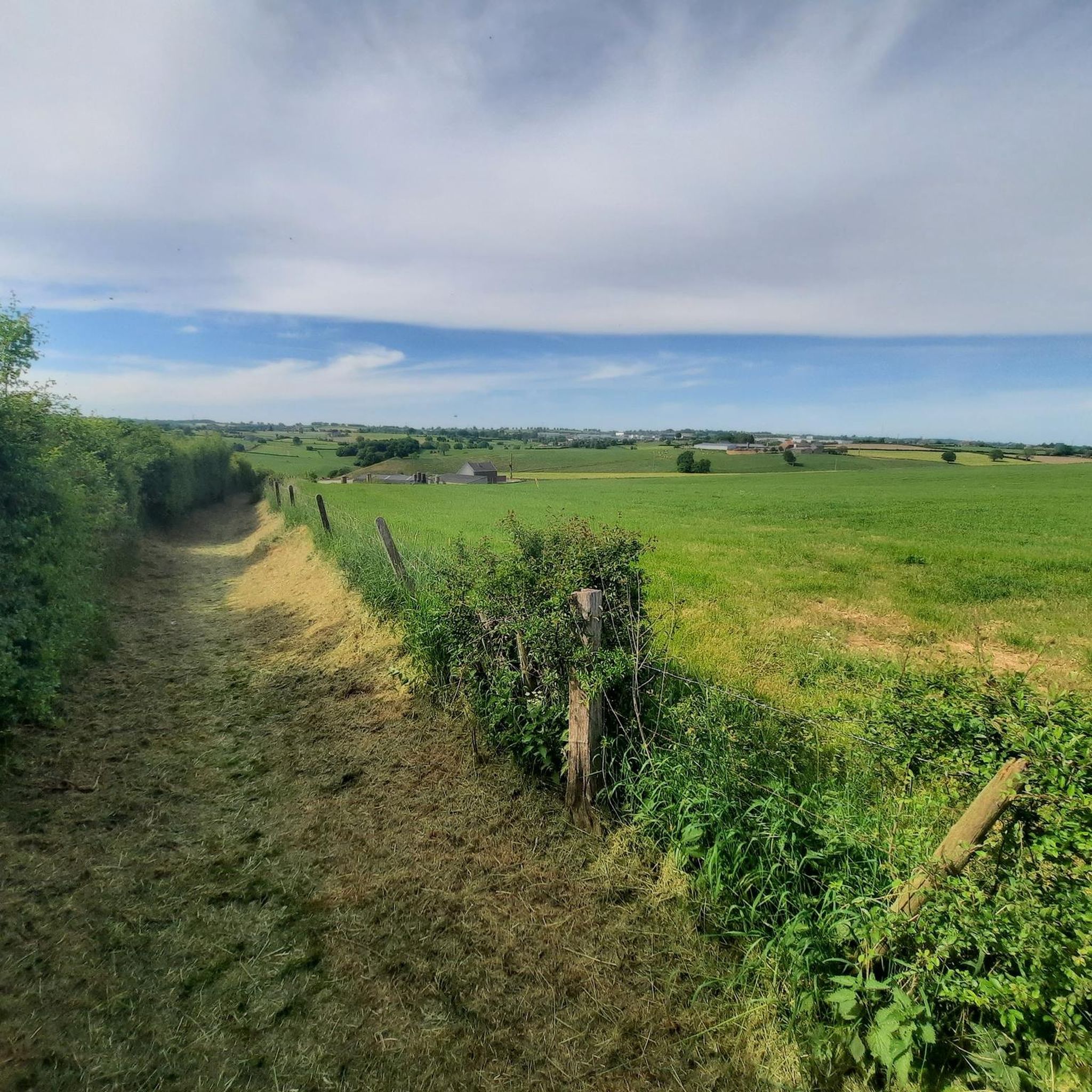
Jogging routes around Dison traverse a landscape characterized by varied terrain, including rolling hills and natural features. The region offers a mix of open paths and routes that may pass through areas with historical landmarks. Elevation gains are moderate across many running routes, providing a good workout without extreme climbs. The network of trails offers options for different ability levels, from easy paths to more challenging routes.
Best jogging routes around Dison
- The most popular jogging route is Nutons' Cave…
Last updated: November 1, 2026
4.5
(4)
194
runners
15.5km
01:56
390m
390m
Hard run. Very good fitness required. Mostly paved surfaces.
4.8
(5)
65
runners
8.53km
00:55
110m
110m
Moderate run. Good fitness required. Mostly paved surfaces.

51
runners
8.15km
00:59
170m
170m
Moderate run. Good fitness required. Mostly paved surfaces.
48
runners
9.72km
01:13
200m
200m
Moderate run. Good fitness required. Mostly paved surfaces.
5.0
(3)
46
runners
11.4km
01:16
220m
220m
Moderate run. Good fitness required. Mostly paved surfaces.
Get access to more routes and recommendations from other explorers.
Already have an account?
Our route recommendations are based on thousands of hikes, rides, and runs completed by other people on komoot.
Start today with a free account
Your next adventure awaits.

Other adventures around Dison

Tips from the Community

Great spot next to the path to discover.
2
0
Be a bit careful here, but the view is worth it.
2
0
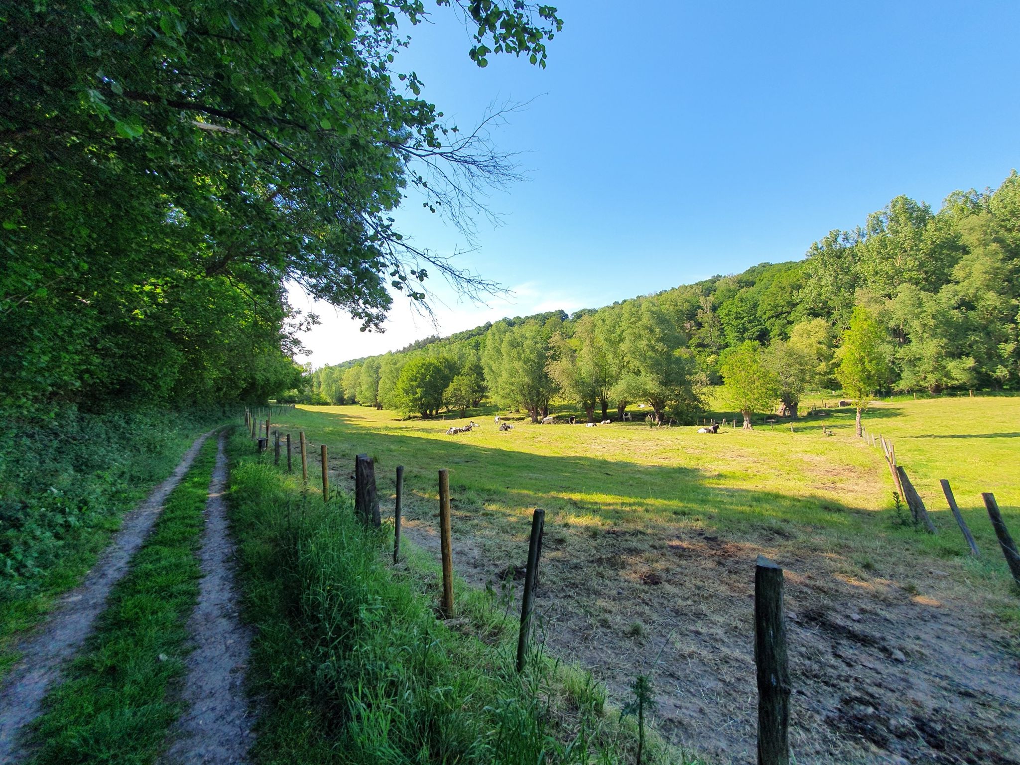
The Ruisseau de Villers, also known locally as La Pancherelle, is a small stream that flows through the rural landscape of Écaussinnes and forms a tributary of the Sennette. The stream flows through a green, gently rolling valley characterized by wet meadows, forest edges, and old bridges.
3
0

Simply amazing but very steep as it starts at the foot of the rock...
6
0
The tough climb gives you its reward here...
7
0

Beautiful view from a rocky point on the Vesdre bend near Bellevaux.
3
0

This cave is located on the left bank of the Ruisseau de Villers (La Pancherelle) and is located a little higher up along the hiking trail, in the forests of Saint-Jacques. The "nuton" (or lûton, nûton, gnome in Dutch) is a small creature from the folklore and popular beliefs of the French and Belgian Ardennes. The nuton has the same origins as the gnome, but according to local folklore, caves, caverns and underground passages make up most of its habitat, much like the dwarves of the Germanic world.
6
0
Here you walk for a kilometer parallel to the small stream La Pancherelle. On Google Maps it is indicated as the Ruisseau de Villers. Villers is a small hamlet of the city of Limbourg. It is located north of Bilstain and is bordered to the east by the Ruisseau de Villers.
7
0
Frequently Asked Questions
How many running routes are available around Dison?
There are over 40 running routes in the Dison area, offering a variety of options for different fitness levels. The komoot community has explored more than 40 routes, with 3 classified as easy, 39 as moderate, and 2 as difficult.
Are there easy running routes suitable for beginners in Dison?
Yes, Dison offers several easy running routes perfect for beginners. While many routes feature moderate elevation, there are at least 3 routes specifically categorized as easy, providing a gentle introduction to running in the region's varied terrain.
What are the typical distances and elevation gains for running trails around Dison?
Running trails around Dison vary in length and elevation. You can find routes ranging from approximately 5 miles (8 km) to over 9 miles (15 km). Elevation gains are generally moderate, typically between 100 to 400 meters, providing a good workout without extreme climbs.
Are there any circular running routes in Dison?
Many of the running routes in Dison are designed as loops, allowing you to start and finish in the same location. For example, the Matacou loop from Dison and the Tour of Château des Tourelles loop from Dison are popular circular options.
What kind of terrain can I expect on Dison's running paths?
Dison's running paths traverse a diverse landscape characterized by rolling hills and natural features. You'll encounter a mix of open paths and routes that may lead through areas with historical landmarks, offering varied terrain for an engaging run.
What do other runners enjoy most about jogging in Dison?
The running routes in Dison are highly rated by the komoot community, with an average score of 4.3 stars from over 500 reviews. Runners often praise the varied terrain, the natural surroundings, and the options available for different ability levels.
Are there any historical landmarks or interesting sights along the running routes?
Yes, Dison's region is rich in history and natural beauty. Some routes pass near historical grounds, such as the Tour of Château des Tourelles loop from Dison. You might also encounter natural landmarks like Nutons' Cave, which is part of the Nutons' Cave – Nez de Napoléon loop.
Can I find running routes that offer scenic viewpoints in Dison?
While specific viewpoints are not always highlighted, the rolling hills and natural landscapes around Dison inherently offer scenic stretches. Routes like the Nutons' Cave – Nez de Napoléon loop provide significant elevation changes, often leading to expansive views of the surrounding countryside.
Is parking available near the running trails in Dison?
Parking is generally available at trailheads or in nearby public areas within Dison and its surrounding villages. For precise parking information, it's advisable to check the specific route details on komoot before you head out.
Are there any hidden gem running trails in Dison?
While popular routes like the Chemin de Wooz loop from Verviers are well-loved, exploring the full range of over 40 routes on komoot can reveal less-trafficked paths. Look for routes with fewer reviews or those starting from smaller hamlets for a more secluded experience.
What is the best time of year for running in Dison?
Dison's varied terrain makes it suitable for running throughout much of the year. Spring and autumn offer pleasant temperatures and beautiful scenery. Summer is also great, though some paths might be more exposed. Winter running is possible, but be mindful of potential icy conditions on trails.
Are there running routes that connect to other towns or areas?
Yes, some running routes extend beyond Dison, connecting to nearby areas. For instance, the Running loop from Andrimont starts from a neighboring locality, offering a different perspective of the wider region.
Most popular attractions around Dison

Get inspired with the komoot mobile app


Explore more
Browse the best Running Trails & Routes in other regions.
