The best road cycling routes around Unterweitersdorf
4.7
(225)
6,678
riders
213
rides
Road cycling routes around Unterweitersdorf navigate a landscape characterized by rolling hills, river valleys, and historical landmarks. The region features varied terrain, with routes passing by castles and scenic landscape ponds. Elevation gains are common, offering challenging climbs alongside more gentle sections suitable for different skill levels.
Best road cycling routes around Unterweitersdorf
- The most popular road cycling route is Wintersdorferstraße – Ottenschlag Landscape Pond loop from Gallneukirchen, a 29.9 miles (48.3 km) trail that takes 2 hours 32…
Last updated: May 11, 2026
4.7
(3)
71
riders
48.3km
02:32
830m
830m
Moderate road ride. Good fitness required. Mostly well-paved surfaces and easy to ride.
5.0
(3)
68
riders
Moderate road ride. Good fitness required. Mostly well-paved surfaces and easy to ride.

Sign up for free
4.5
(2)
45
riders
50.4km
02:46
810m
810m
Moderate road ride. Good fitness required. Mostly well-paved surfaces and easy to ride.
5.0
(1)
46
riders
46.0km
01:53
250m
250m
Easy road ride. Great for any fitness level. Mostly well-paved surfaces and easy to ride.
37
riders
26.4km
01:21
400m
400m
Moderate road ride. Good fitness required. Mostly well-paved surfaces and easy to ride.
Get access to more routes and recommendations from other explorers.
Sign up for free
Already have an account?
Our route recommendations are based on thousands of hikes, rides, and runs completed by other people on komoot.
Start today with a free account
Your next adventure awaits.
Login or Signup

Tips from the Community

The Ennsegg bicycle ferry connects the towns of Enns, St. Pantaleon-Erla, and Mauthausen across the Danube and is particularly popular with cyclists on the Danube Cycle Path. It operates daily from 9:00 a.m. to 6:00 p.m. from May to September, and until 7:00 p.m. from June to August. Crossings take place at short intervals of approximately five to ten minutes, and up to twelve people with their bicycles can be transported at one time. The ferry offers a weatherproof crossing and is also suitable for groups. This makes it a practical and scenic way to cross the Danube and connect the cycle paths on both banks.
2
0

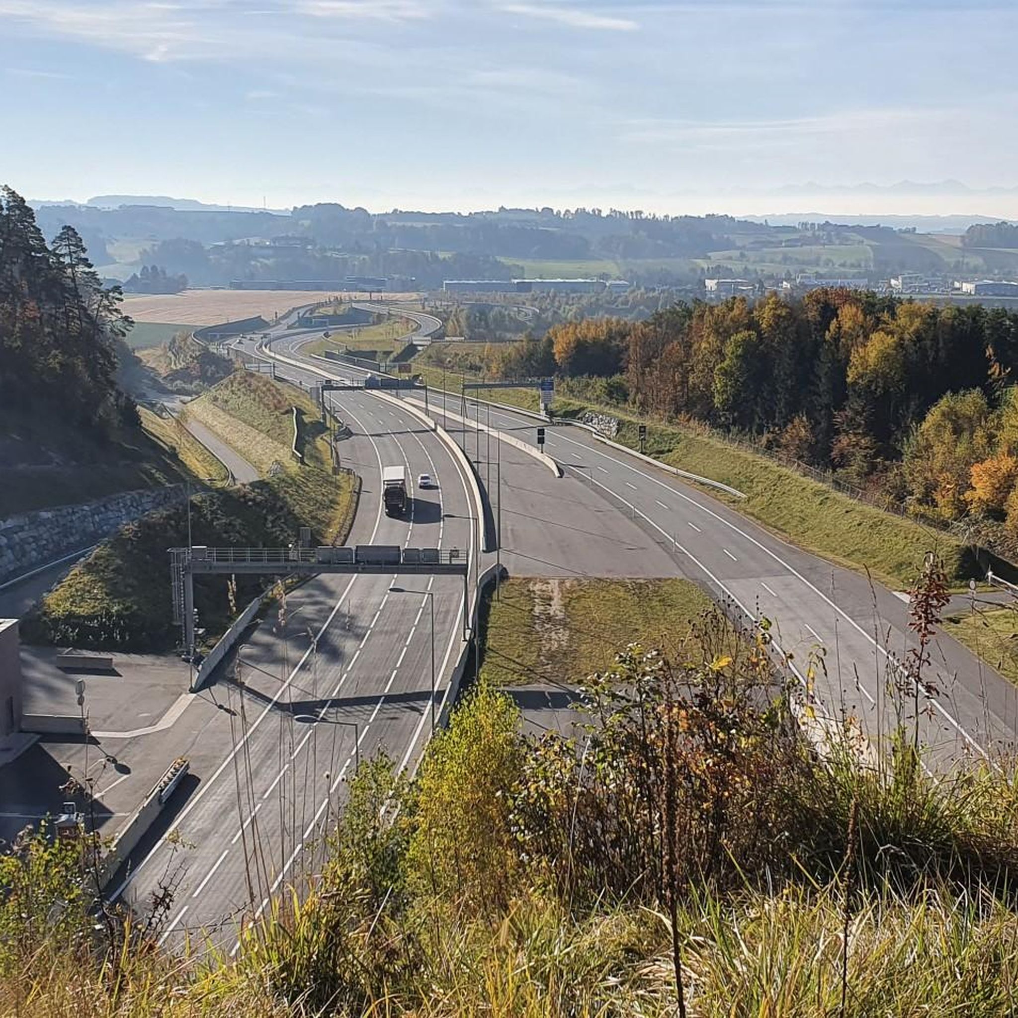
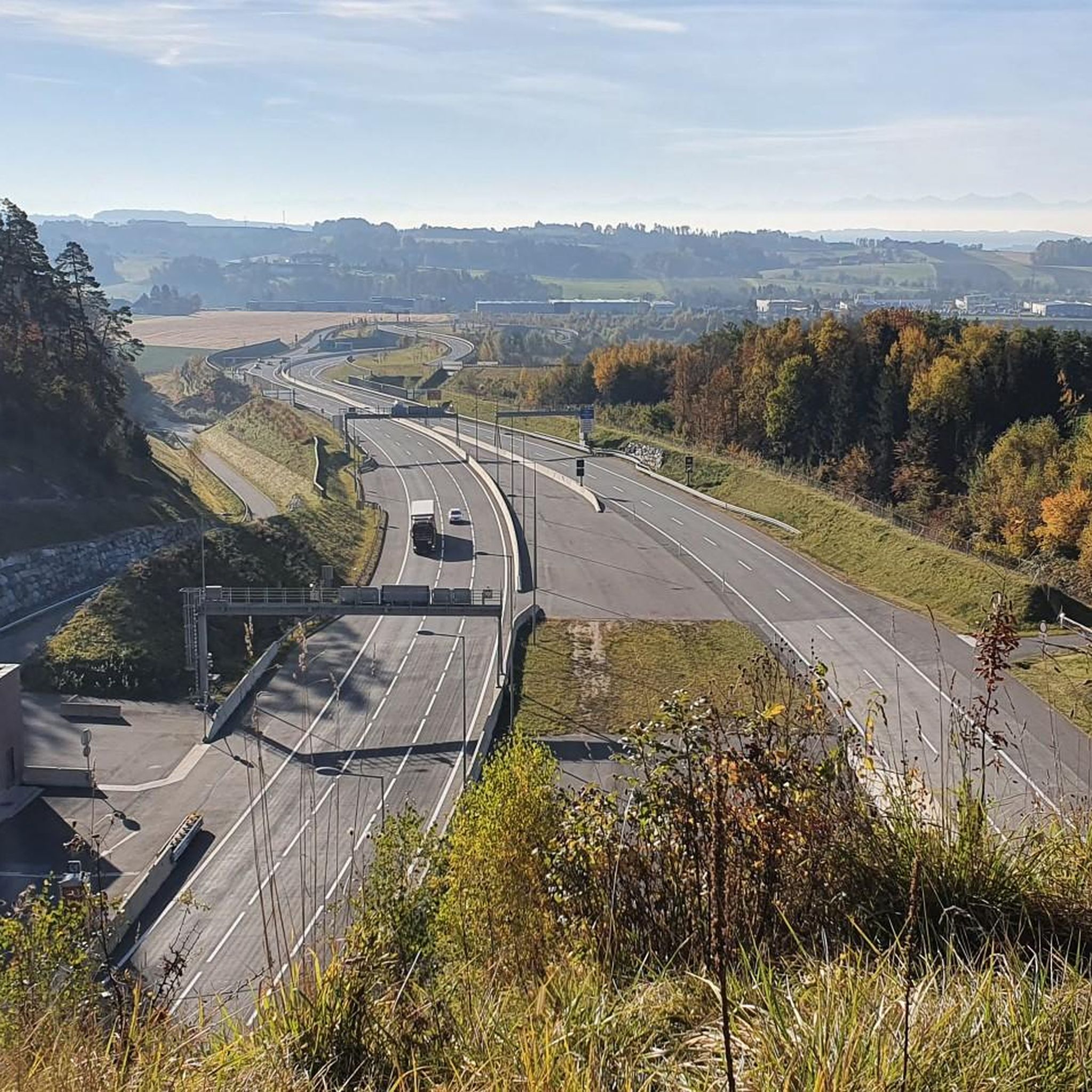
Great route from Gutau to Schwertberg. Not always the best asphalt, but everyone has to ride it at least once. It's a loooong climb, but nice and comfortable.
0
0

Right next to the gas station. Unfortunately they only accept coins, but better than nothing.
0
0

Great road & little traffic.
0
0

Nice here, but very noisy due to the main road
1
0

Super friendly and good restaurant with beer garden. We'll be happy to come back.
0
0
The crossing is a nice change of pace during the tour and offers a great view. For those who usually only cycle over bridges, ferries are a very interesting option. The "Ennsegg" bike ferry connects the towns of Enns, St. Pantaleon-Erla, and Mauthausen across the Danube and is especially popular with cyclists on the Danube Cycle Path. It operates daily from 9:00 a.m. to 6:00 p.m. from May to September, and until 7:00 p.m. from June to August. Crossings take place at short intervals of about five to ten minutes, and up to twelve people and their bicycles can be transported at a time. The ferry offers a weatherproof crossing and is also suitable for groups. This makes it a practical and atmospheric way to cross the Danube and connect the cycle paths on both banks.
5
1
Frequently Asked Questions
How many road cycling routes are available around Unterweitersdorf?
There are over 210 road cycling routes around Unterweitersdorf, offering a wide range of options for different skill levels and preferences.
What makes road cycling in Unterweitersdorf unique?
Road cycling in Unterweitersdorf is characterized by a diverse landscape of rolling hills, picturesque river valleys, and historical landmarks. You'll encounter routes that pass by ancient castles and serene landscape ponds, providing both challenging climbs and gentler sections.
Are there easy road cycling routes suitable for beginners in Unterweitersdorf?
Yes, Unterweitersdorf offers 17 easy road cycling routes perfect for beginners. One such route is the Lower Gusental – Enns–Mauthausen Bicycle Ferry loop from Gallneukirchen, which is relatively flat and takes you through scenic areas.
Are there challenging road cycling routes for experienced cyclists?
Absolutely. For experienced cyclists seeking a challenge, there are 80 difficult routes around Unterweitersdorf. The region's rolling hills mean that many routes feature significant elevation gains, providing demanding climbs and rewarding descents.
What kind of scenery can I expect on road cycling routes in Unterweitersdorf?
You can expect varied scenery, from lush river valleys like the Aist Valley to routes that circle tranquil landscape ponds. Many paths also offer views of historical castles and natural monuments. For example, the Weinberg Castle – Aist Valley (Aisttal) loop from Milchautomat combines historical sights with natural beauty.
Are there road cycling routes that pass by historical sights or castles?
Yes, several routes incorporate historical sights. The Riedegg Castle – Ottenschlag Landscape Pond loop from Gallneukirchen takes you past the impressive Riedegg Castle. Another option is the Weinberg Castle – Aist Valley (Aisttal) loop from Milchautomat, which features Weinberg Castle.
Are there any loop road cycling routes around Unterweitersdorf?
Many of the road cycling routes in Unterweitersdorf are designed as loops, allowing you to start and finish at the same point. Examples include the popular Wintersdorferstraße – Ottenschlag Landscape Pond loop from Gallneukirchen and the Over Netzberg to Kefermarkt – Bruckmühle Pregarten loop from Milchautomat.
What are some interesting natural landmarks or viewpoints along the routes?
Beyond the general scenery, you can find specific natural landmarks and viewpoints. Highlights include the Pfenningberg Summit Cross and the Großer Zeißberg Summit, offering panoramic views. The Teufelskirche Rock Formation is another unique natural monument to explore.
Are there places to stop for refreshments or food along the road cycling routes?
Yes, the region offers several spots for a break. You might find inns and snack stops like the Pelmbergstüberl or the Roadlhof Inn. These are great for a quick coffee or a meal to refuel during your ride.
What do other road cyclists say about the routes in Unterweitersdorf?
The komoot community highly rates the road cycling routes in Unterweitersdorf, with an average score of 4.7 stars from over 200 reviews. Cyclists often praise the varied terrain, the beautiful landscapes, and the well-maintained paths that make for an enjoyable riding experience.
When is the best time of year for road cycling in Unterweitersdorf?
The best time for road cycling in Unterweitersdorf is generally from spring through autumn, when the weather is mild and the landscapes are vibrant. Summer offers longer daylight hours, while spring and autumn provide comfortable temperatures and beautiful seasonal colors.
Are there any specific considerations for road cycling in winter?
While some routes may be accessible, winter road cycling in Unterweitersdorf can be challenging due to colder temperatures, potential ice, or snow. It's advisable to check local weather and road conditions before heading out and to ensure your bike is equipped for winter riding.
Most popular routes around Unterweitersdorf
Most popular attractions around Unterweitersdorf

Get inspired with the komoot mobile app


Explore more
Browse the best Road cycling routes in other regions.
