The best mountain hikes around San Colombano Certenoli
5.0
(2)
14
hikers
1
hike
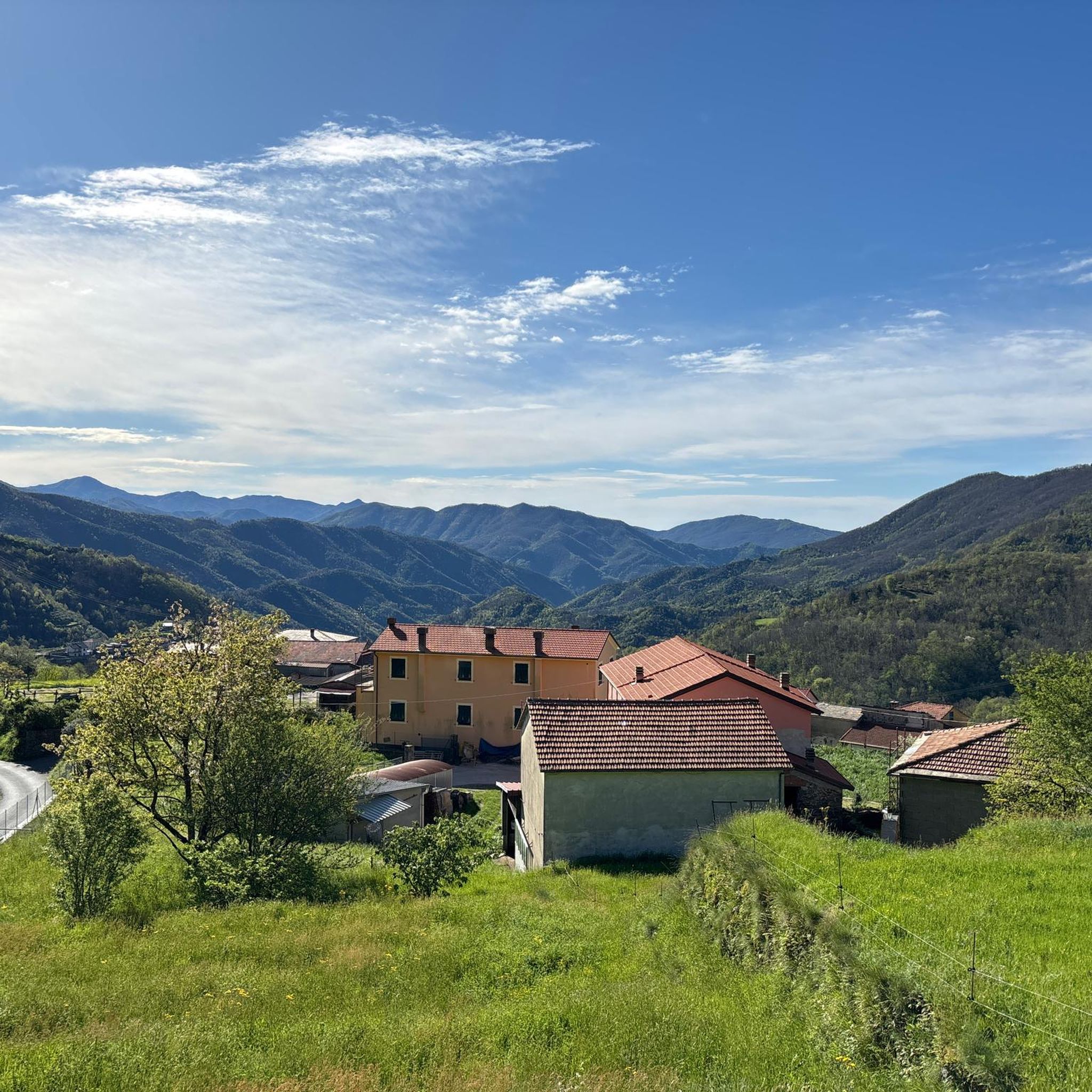
Mountaineering routes around San Colombano Certenoli are characterized by diverse terrain, ranging from the mountainous areas of the Ligurian Apennines to proximity to the Ligurian coast. The region features challenging peaks like Monte Ramaceto, extensive networks of trails, and ancient chestnut groves. Panoramic views often encompass both rugged mountain landscapes and the distant Ligurian Sea, providing a unique blend of environments for mountaineers.
Best mountaineering routes around San Colombano Certenoli
- The most popular mountaineering route is View of Portofino –…
Last updated: May 20, 2026
5.0
(1)
4
hikers
15.1km
05:42
700m
700m
Hard mountaineering route. Very good fitness required. Mostly accessible paths. Sure-footedness required.
2
hikers
10.4km
04:13
740m
740m
Moderate mountaineering route. Good fitness required. Mostly accessible paths. Sure-footedness required.

Sign up for free
5.0
(1)
8
hikers
14.9km
06:17
980m
980m
Hard mountaineering route. Very good fitness required. Mostly accessible paths. Sure-footedness required.
Our route recommendations are based on thousands of hikes, rides, and runs completed by other people on komoot.
Start today with a free account
Your next adventure awaits.
Login or Signup
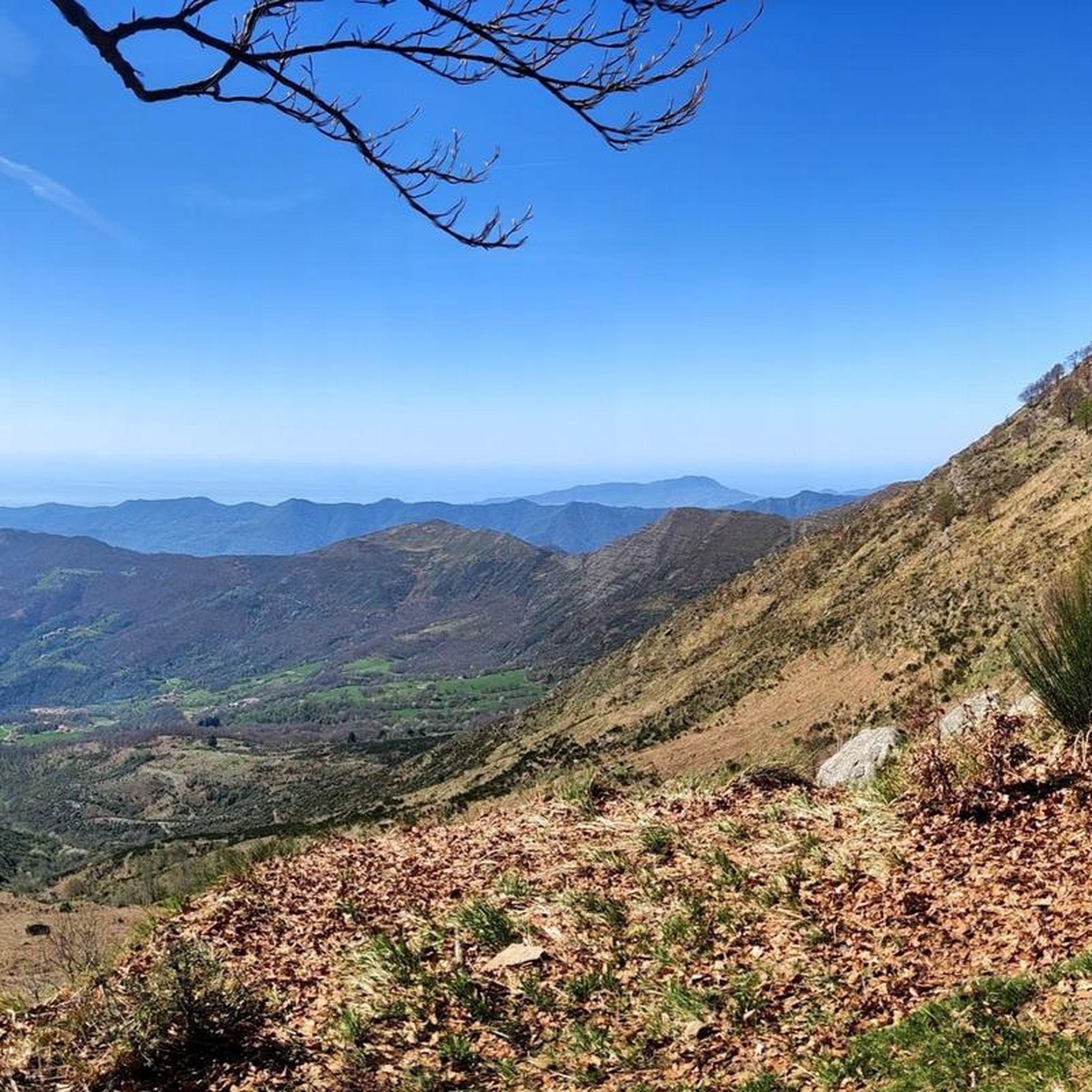
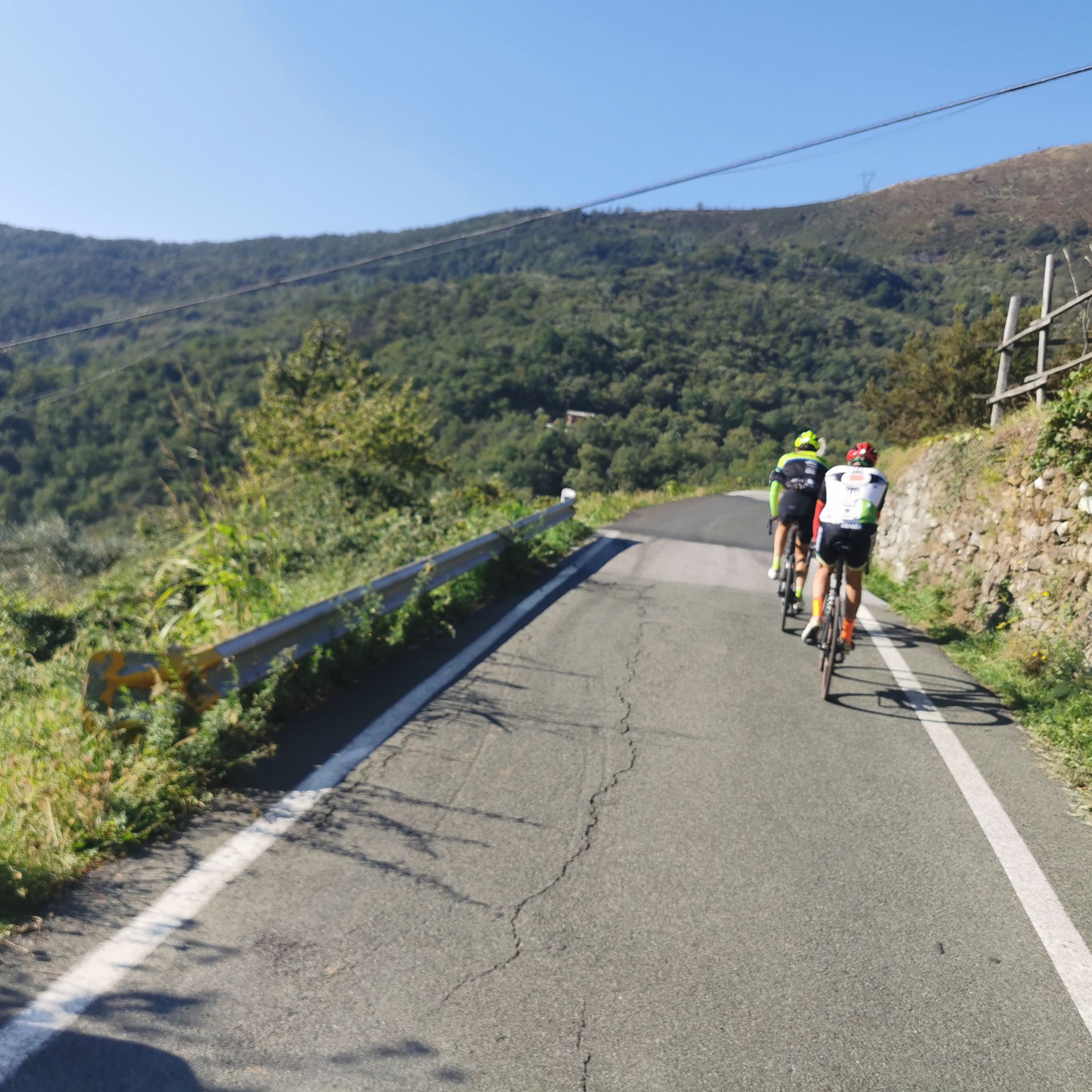
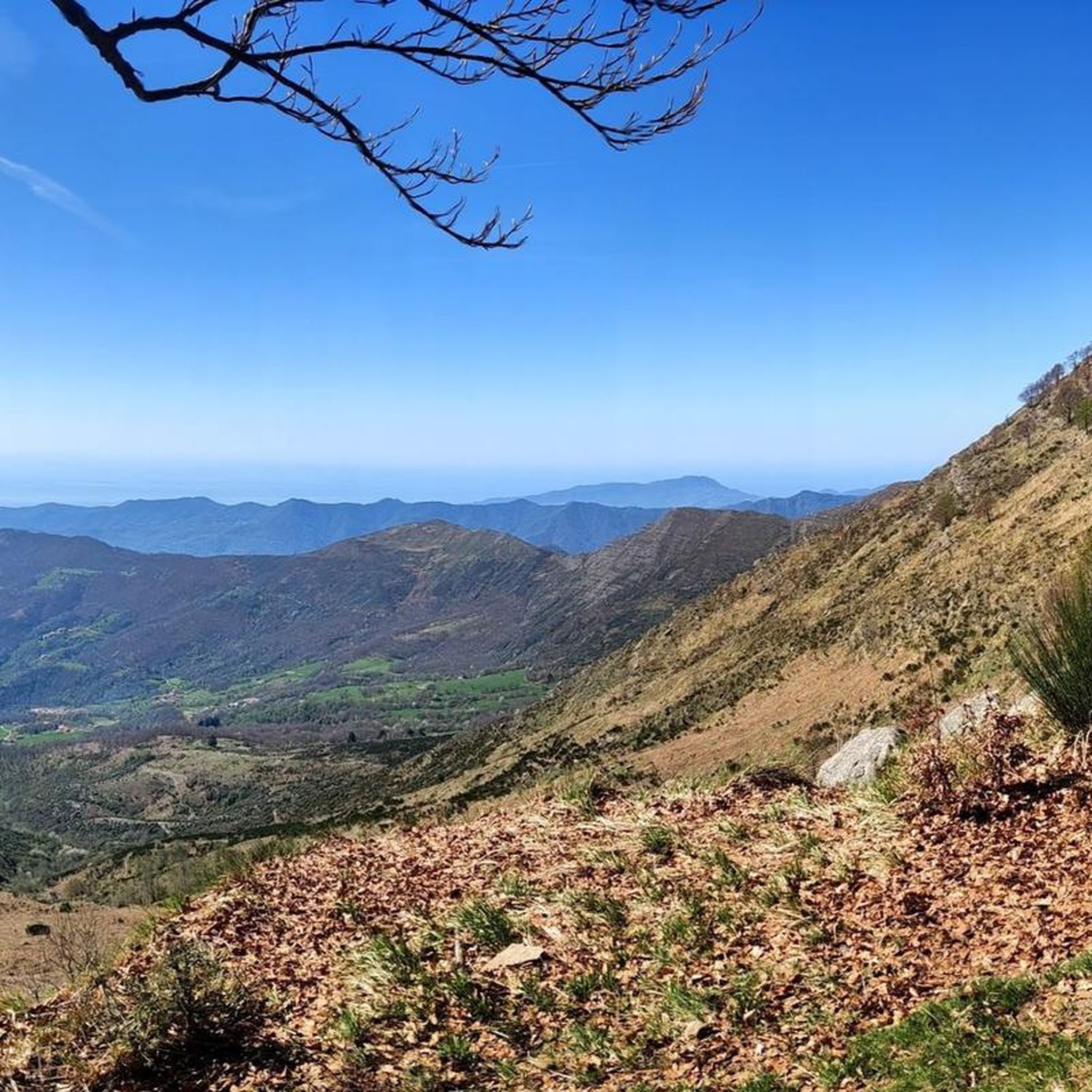
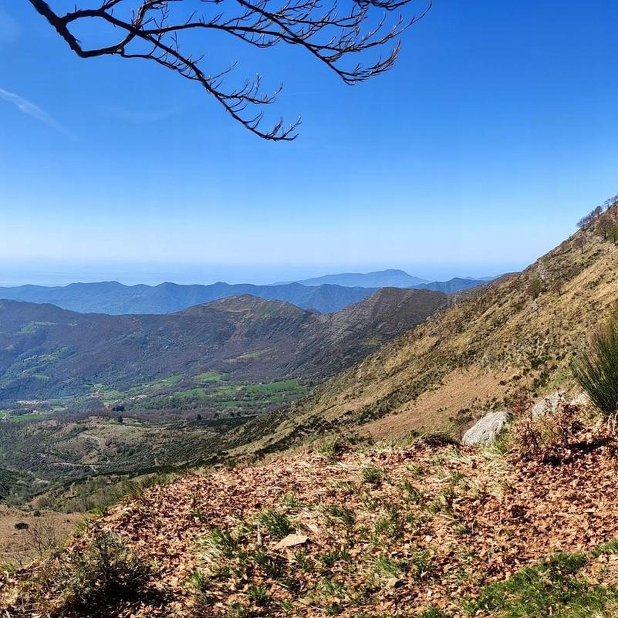

Tips from the Community

A dreamily beautiful hiking trail.
0
0
A dreamily beautiful hiking trail.
0
0
A dream-beautiful hiking trail. I can only recommend it
0
0


Incredible view of the cliffs below and the open sea.
0
1
Beautiful route well marked with many variations. Never do it in uncertain weather.
0
0

Beautiful church with a medieval layout. From the churchyard you can enjoy a beautiful view of Camogli and the entire coast towards the West
0
0
Frequently Asked Questions
What kind of mountaineering experiences can I expect around San Colombano Certenoli?
The region offers a diverse range of mountaineering experiences, from challenging ascents to more moderate paths. You'll find routes through ancient chestnut groves, dense beech forests, and open pastures. Many trails provide panoramic views that stretch from the rugged mountains of the Ligurian Apennines all the way to the distant Ligurian Sea.
Are there any easy or beginner-friendly mountaineering routes in the area?
While many routes in the area, particularly those ascending peaks like Monte Ramaceto, can be quite challenging, there are also moderate options available. For example, the Punta Chiappa – Porto Pievevecchio loop from Camogli is a moderate 6.4-mile path offering coastal scenery, suitable for those looking for a less strenuous experience.
What are some of the more challenging mountaineering routes?
For experienced mountaineers, the area offers demanding routes, especially to peaks like Monte Ramaceto, the highest point in Val Fontanabuona. These can require good physical condition, secure footing, and even alpine experience during winter. A particularly challenging route is the View of Portofino – Portofino Waterfront loop from Santa Margherita Ligure, a difficult 9.4-mile trail with significant elevation gain.
What are the best times of year for mountaineering in San Colombano Certenoli?
The region is suitable for mountaineering throughout much of the year, with each season offering a unique experience. Spring and autumn provide pleasant temperatures and vibrant scenery. During winter, higher altitude routes, especially on peaks like Monte Ramaceto, may require crampons and ice axes due to frozen snow or ice, demanding alpine experience.
Are there any circular mountaineering routes?
Yes, there are several circular routes available. A popular option is the Hotel Portofino Kulm – View of Camogli to Genoa loop from Parco Naturale Regionale di Portofino - Aree contigue, a 6.2-mile moderate trail that takes you through the beautiful Parco Naturale Regionale di Portofino.
What kind of natural attractions or landmarks can I see along the routes?
The routes often feature stunning natural beauty and historical points. You might traverse ancient chestnut groves, pass through the scenic Val Fontanabuona, or enjoy panoramic views of the Ligurian Sea. Notable landmarks and points of interest include the Portofino Lighthouse, the Monte Manico del Lume Summit, and the Monte Aiona. You may also encounter mountain passes like Bocco Pass and small chapel-shelters.
Are there mountain huts or refuges available along the trails?
Yes, the area has mountain huts and refuges that can serve as resting spots or waypoints for longer excursions. Examples include the Margherita Mountain Hut – Mount Pegge, Ventarola Refuge, and Rifugio Malga Zanoni.
Is public transport available to access mountaineering routes?
While the region has an extensive trail network, specific public transport access points for all mountaineering routes can vary. It's advisable to check local bus schedules or train connections to nearby towns like Santa Margherita Ligure or Camogli, which serve as starting points for some routes, and then plan your onward journey to the trailhead.
Are the mountaineering routes suitable for families or those with dogs?
The suitability for families or dogs depends heavily on the specific route's difficulty and length. While some moderate trails might be enjoyable for active families and well-behaved dogs, challenging mountaineering routes, especially those with steep ascents or exposed ridges, may not be appropriate. Always check the route details and consider the fitness levels of all participants and pets before setting out.
What do other mountaineers say about the routes in San Colombano Certenoli?
The mountaineering routes around San Colombano Certenoli are highly rated by the komoot community, with an average score of 5.0 stars. Users often praise the varied terrain, the stunning panoramic views that combine mountains and sea, and the sense of mountain solitude found on many trails.
How long do mountaineering routes typically take in this region?
The duration of routes varies significantly based on distance, elevation gain, and your pace. For example, a difficult 9.4-mile route like the View of Portofino – Portofino Waterfront loop from Santa Margherita Ligure can take around 5 hours and 42 minutes, while a moderate 6.2-mile loop might be completed in about 3 hours and 18 minutes.
Are there opportunities for winter mountaineering?
Yes, winter mountaineering is possible, particularly on higher peaks like Monte Ramaceto. However, these conditions demand specific equipment such as crampons and ice axes due to potential frozen snow and ice on the airy summit ridges. Alpine experience is highly recommended for winter ascents.
Most popular routes around San Colombano Certenoli
Most popular attractions around San Colombano Certenoli

Get inspired with the komoot mobile app


Explore more
Browse the best Mountain Hikes & Routes in other regions.
