The best road cycling routes in Unterklettgau
4.6
(371)
8,244
riders
190
rides
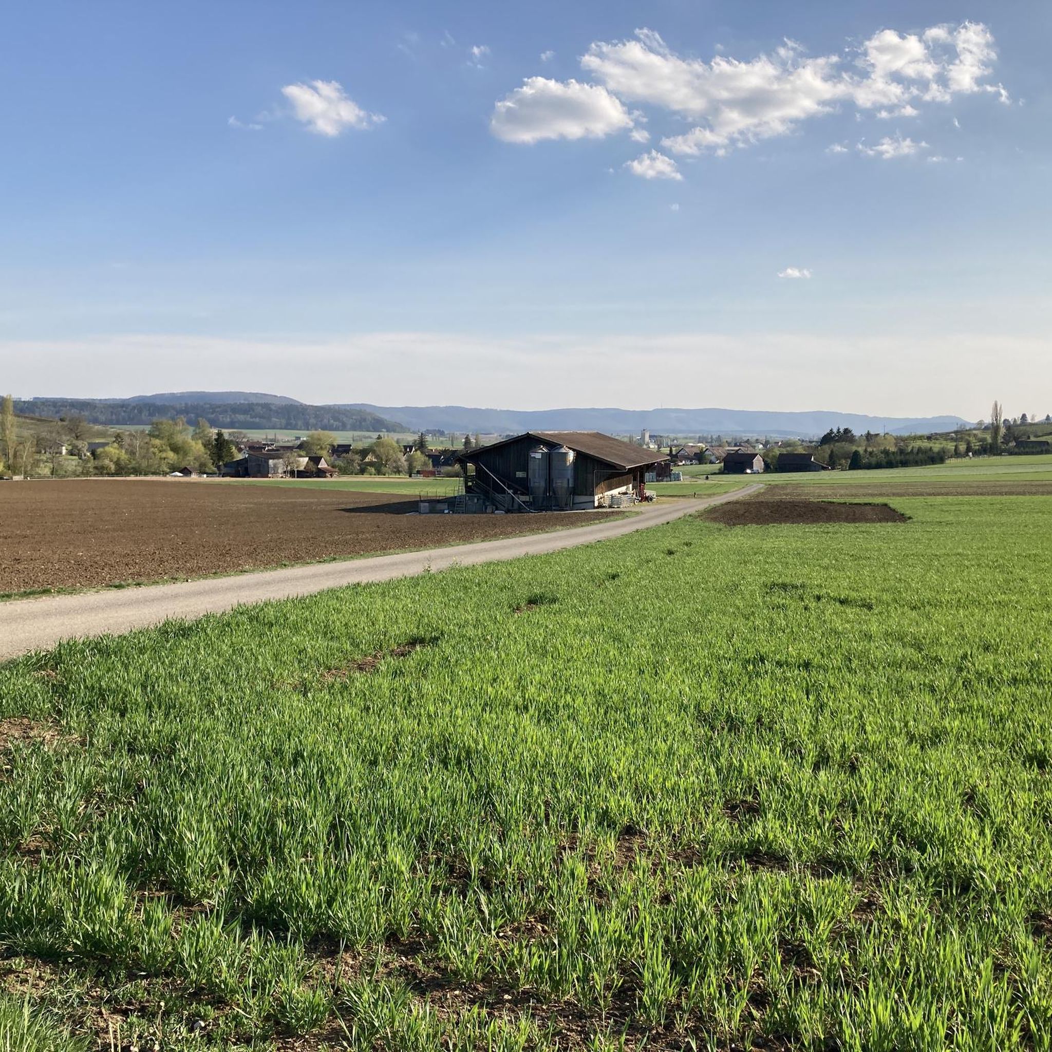
Road cycling in Unterklettgau features a diverse landscape, characterized by rolling hills, river valleys, and scenic roads. The region offers routes that pass through historical towns and along waterways like the Wutach and the Rhine. Road cyclists can expect varied terrain, from gentle gradients suitable for leisure rides to more challenging ascents.
Best road cycling routes in Unterklettgau
- The most popular road cycling route is Munot Fortress, Schaffhausen – Fronwagplatz loop from Neunkirch, a 33.6 miles (54.0 km) trail…
Last updated: May 24, 2026
5.0
(3)
120
riders
54.5km
02:43
730m
730m
Moderate road ride. Good fitness required. Some segments of this route may be unpaved and difficult to ride.
5.0
(1)
69
riders
30.5km
01:18
170m
170m
Easy road ride. Great for any fitness level. Mostly well-paved surfaces and easy to ride.

Sign up for free
5.0
(3)
61
riders
40.3km
01:53
320m
320m
Moderate road ride. Good fitness required. Some segments of this route may be unpaved and difficult to ride.
49
riders
38.4km
01:30
120m
120m
Moderate road ride. Great for any fitness level. Some segments of this route may be unpaved and difficult to ride.
4.5
(2)
45
riders
Moderate road ride. Good fitness required. Mostly well-paved surfaces and easy to ride.
23
riders
Moderate road ride. Great for any fitness level. Some segments of this route may be unpaved and difficult to ride.
19
riders
101km
04:39
1,160m
1,160m
Hard road ride. Very good fitness required. Some segments of this route may be unpaved and difficult to ride.
5.0
(1)
16
riders
Moderate road ride. Good fitness required. Mostly well-paved surfaces and easy to ride.
10
riders
57.9km
03:09
1,020m
1,020m
Hard road ride. Very good fitness required. Mostly well-paved surfaces and easy to ride.
11
riders
97.6km
04:27
1,070m
1,070m
Hard road ride. Very good fitness required. Some segments of this route may be unpaved and difficult to ride.
Get access to more routes and recommendations from other explorers.
Sign up for free
Already have an account?
Our route recommendations are based on thousands of hikes, rides, and runs completed by other people on komoot.
Start today with a free account
Your next adventure awaits.
Login or Signup
Popular around Unterklettgau
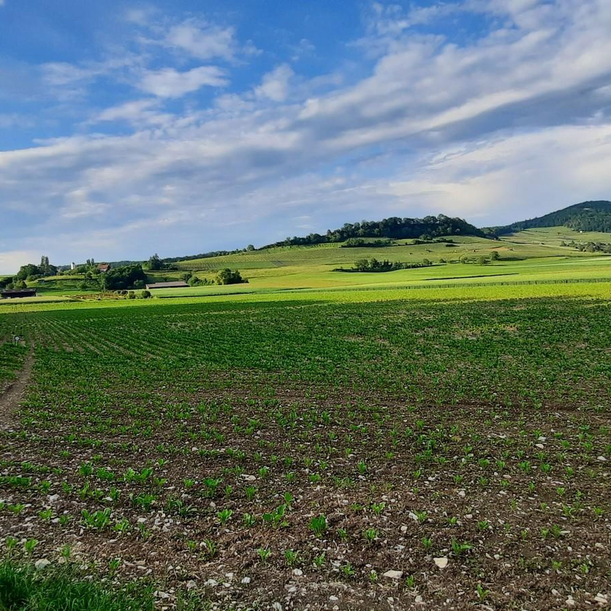
Road Cycling Routes around Wilchingen
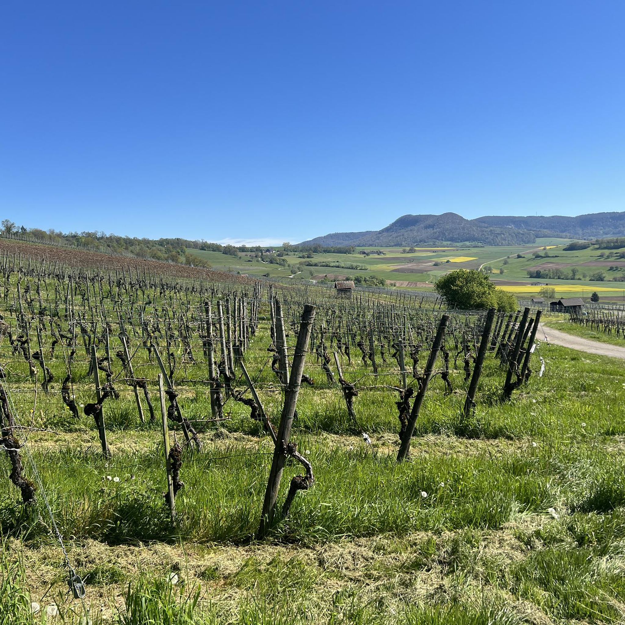
Road Cycling Routes around Hallau
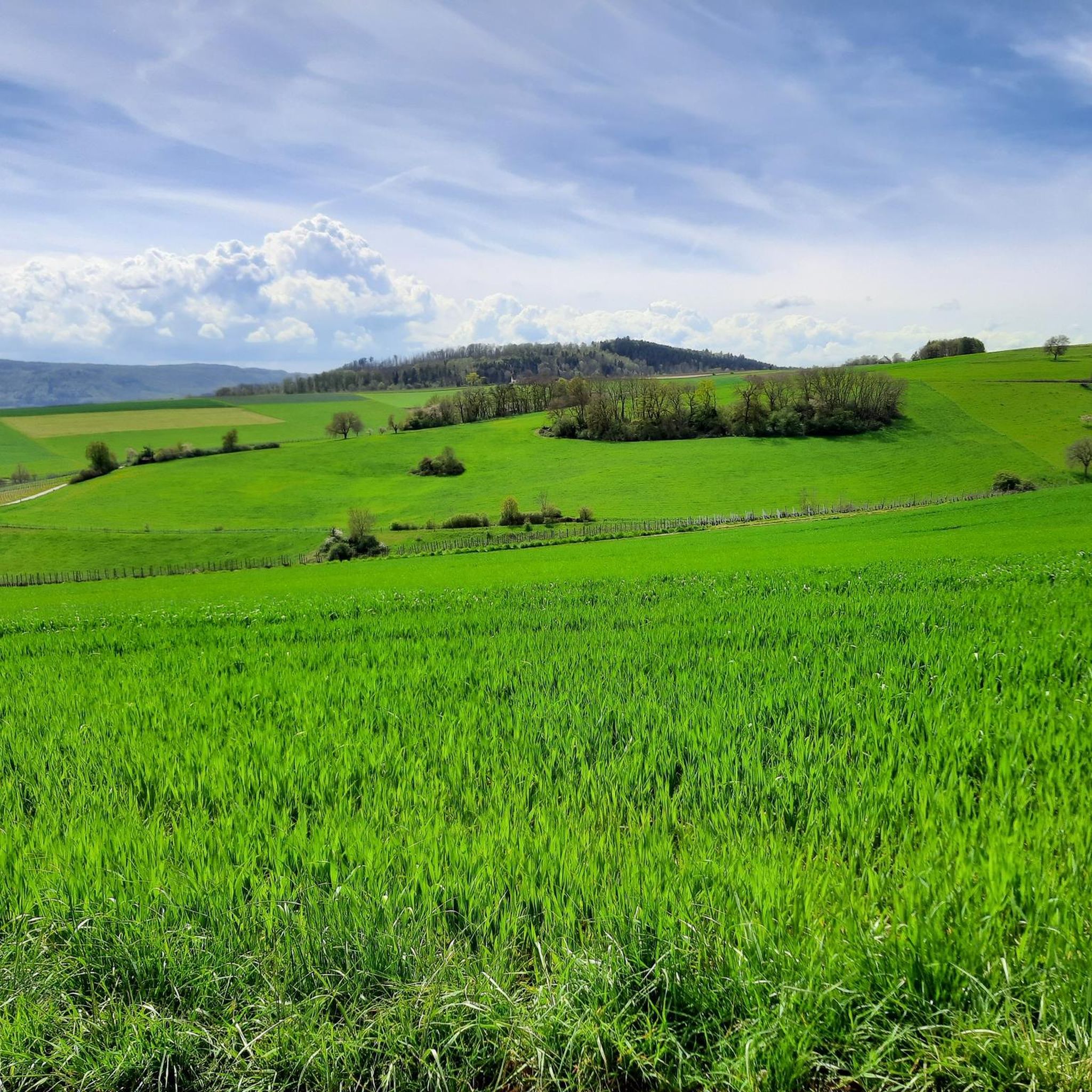
Road Cycling Routes around Trasadingen
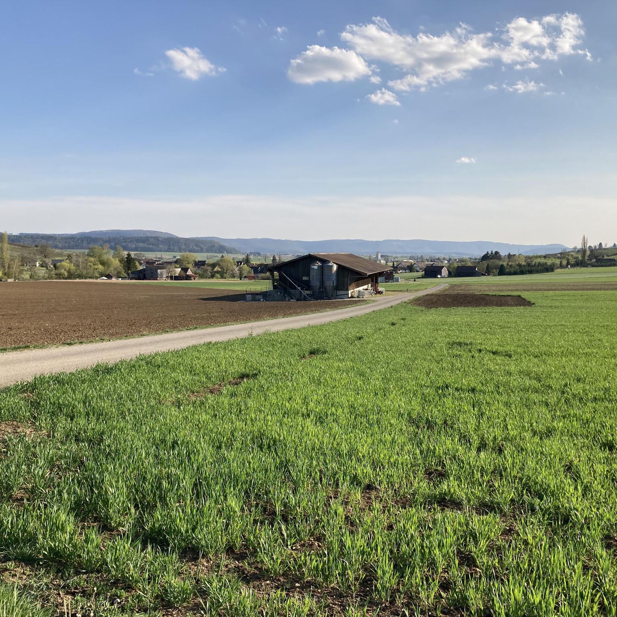
Road Cycling Routes around Oberhallau

Lake and Alps Adventure – explore 100 dreamy places in our cycling region!
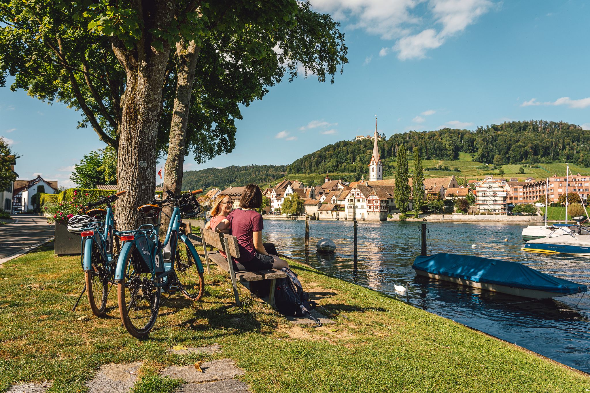
Rhine, vines, Randen – the top 5 cycle routes in Schaffhauserland
Klettgau-Rhein-Weg – hiking at the feet of the Alps
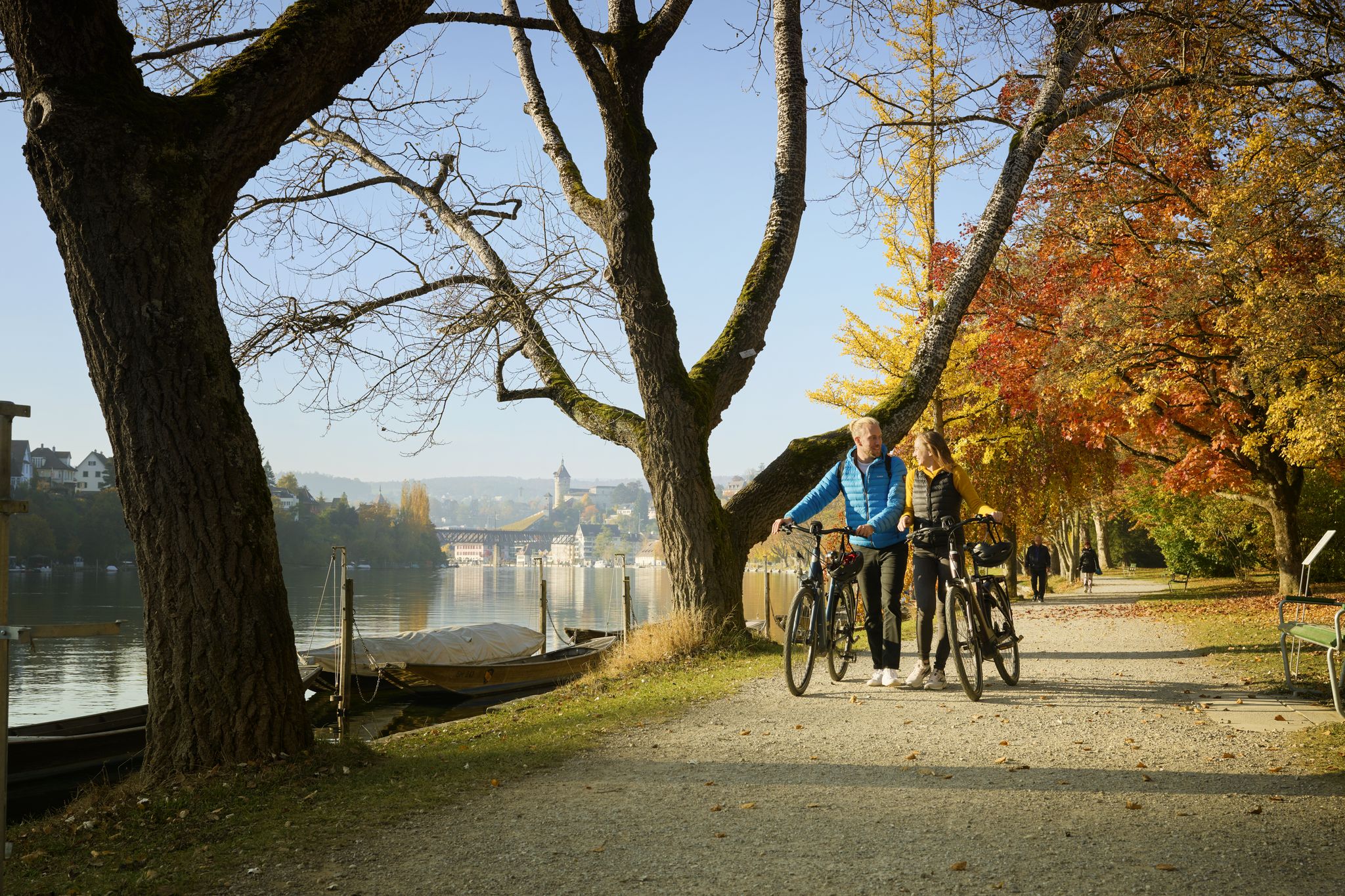
Rhine, Vines and Randen – autumn cycling routes in Schaffhauserland
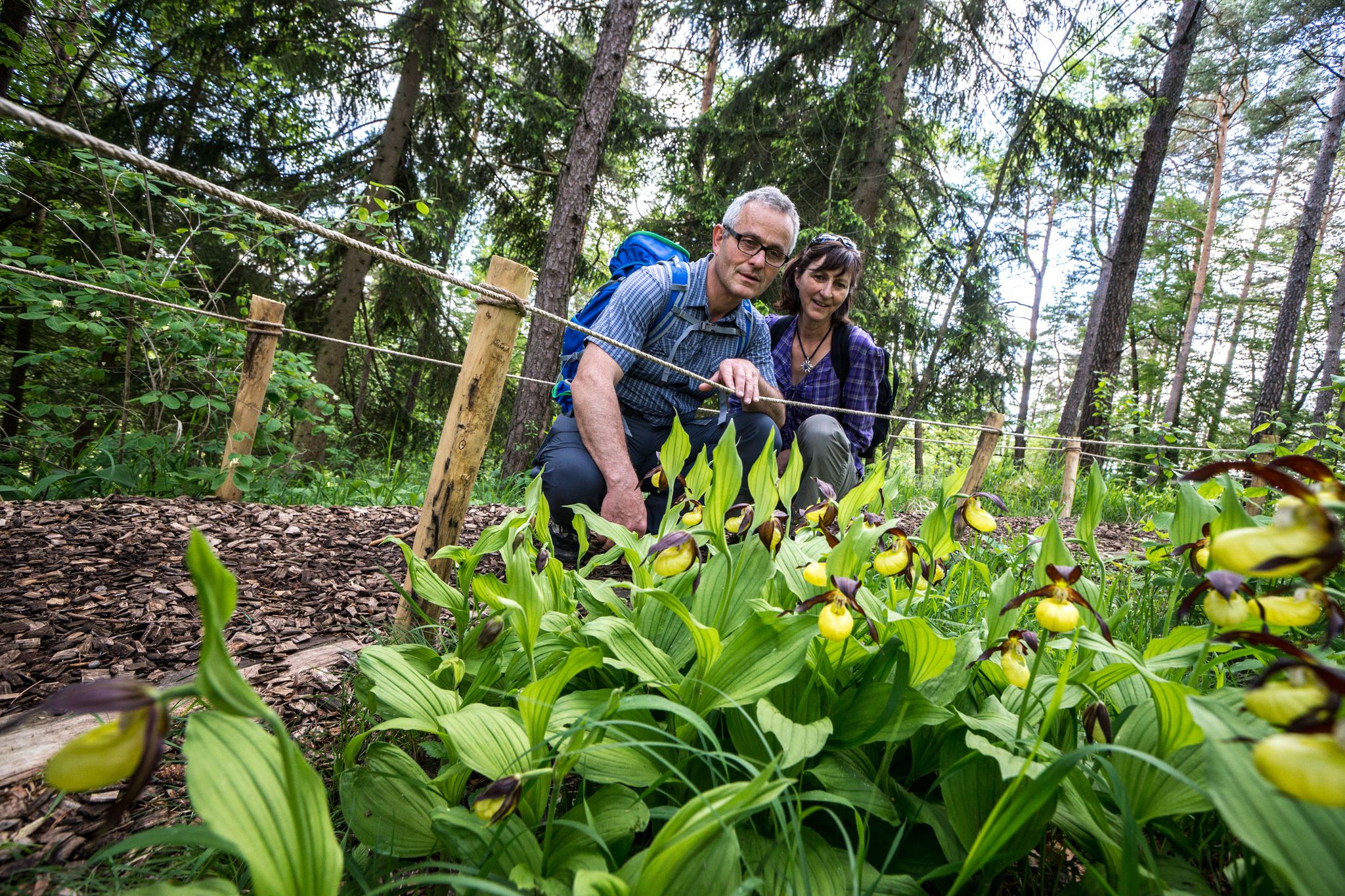
Wandern zwischen Rhein und Reben – Frühling im Schaffhauserland
Hiking in Unterklettgau
Other adventures in Unterklettgau


Tips from the Community


Definitely try the different draft beers and stop by the shop to pick up a souvenir.
0
0

A very beautiful cycling/hiking route along the Rhine, the scenery is truly top-notch.
0
0

A very beautiful photo opportunity: the last bridge over the Aare River. Here, after 292 kilometers, the Aare flows into the Rhine.
0
0

Why this "island" belongs to Germany but lies in the middle of Swiss territory is an interesting and old story. It is highly recommended to read this story.
0
0

Good connection between the two banks of the Koblenz/Gippingen river
0
0

Here at the hydroelectric power station you can cross the Aare
0
0
Frequently Asked Questions
How many road cycling routes are available in Unterklettgau?
Unterklettgau offers a wide selection of nearly 200 road cycling routes, catering to various skill levels and preferences. You'll find everything from easy, leisurely rides to more challenging, difficult ascents.
What kind of terrain will I encounter on road cycling routes in Unterklettgau?
Road cycling in Unterklettgau features a diverse landscape. You can expect routes characterized by rolling hills, picturesque river valleys, and scenic roads. The terrain varies from gentle gradients suitable for leisure rides to more challenging ascents, often passing through historical towns and along waterways like the Wutach and the Rhine.
Are there road cycling routes suitable for beginners in Unterklettgau?
Yes, Unterklettgau has 27 easy road cycling routes perfect for beginners or those looking for a relaxed ride. An excellent option is the Obertor Neunkirch – Obertorturm loop from Trasadingen, which is 18.9 miles (30.5 km) long with minimal elevation gain, offering a pleasant ride through the countryside.
Where can I find challenging road cycling routes in Unterklettgau?
For experienced road cyclists seeking a challenge, Unterklettgau provides 50 difficult routes. One such demanding route is the View of the Rhine Falls – Körbeltal Scenic Road loop from Wilchingen-Hallau, which spans over 100 km and features significant elevation gain, offering a rewarding experience with stunning views.
Are there any circular road cycling routes in Unterklettgau?
Many of the road cycling routes in Unterklettgau are designed as loops, allowing you to start and finish in the same location. Examples include the Munot Fortress, Schaffhausen – Fronwagplatz loop from Neunkirch and the Cycle Path Along the Wutach – Descent from Oberhallau loop from Neunkirch.
What are some scenic highlights or landmarks I can see along the road cycling routes?
Unterklettgau's routes often pass by interesting landmarks and natural beauty. You might cycle past historical sites like the Radegg Castle Ruins or the St. Moritz Hill Church, Hallau. Some routes also offer views of the Descent from Oberhallau or the Wutach river valley.
Are there places to eat or rest near the road cycling trails in Unterklettgau?
Yes, you'll find various spots to refuel and rest. For instance, the Rossberghof Inn is a notable restaurant in the region. Additionally, there are several huts and shelters like Chläggi-Höckli or Oberhallau Shelter with Alpine View that can serve as convenient resting points.
What do other road cyclists enjoy most about road cycling in Unterklettgau?
The komoot community highly rates road cycling in Unterklettgau, with an average score of 4.6 stars from over 300 reviews. Cyclists often praise the region's varied terrain, which includes rolling hills and river valleys, as well as the opportunity to explore historical towns and scenic roads.
What is the best time of year for road cycling in Unterklettgau?
While specific weather conditions can vary, the spring, summer, and early autumn months generally offer the most favorable conditions for road cycling in Unterklettgau. During these seasons, you can expect milder temperatures and more stable weather, making for more enjoyable rides through the region's diverse landscapes.
Are there any long-distance road cycling routes in Unterklettgau?
Yes, Unterklettgau features several longer routes for those looking to cover more distance. For example, the View of Klingnauer Stausee – Cycle Path Along the Wutach loop from Eggingen is over 80 km, and the View of the Rhine Falls – Körbeltal Scenic Road loop from Wilchingen-Hallau extends beyond 100 km, offering extensive rides through the region.
Can I find routes that combine historical sites with natural scenery?
Absolutely. Many routes in Unterklettgau are designed to showcase both the region's history and its natural beauty. The Munot Fortress, Schaffhausen – Fronwagplatz loop from Neunkirch is a prime example, offering a mix of historical sites and varied terrain, including views of the Munot Fortress.
Most popular routes in Unterklettgau
Most popular attractions in Unterklettgau

Get inspired with the komoot mobile app


Didn’t find what you were looking for?
Check out more Road cycling routes throughout Unterklettgau below and find the perfect route in your destination.
Explore more
Browse the best Road cycling routes in other regions.
