The best walks and hikes around Cogoleto
4.5
(660)
3,010
hikers
73
hikes
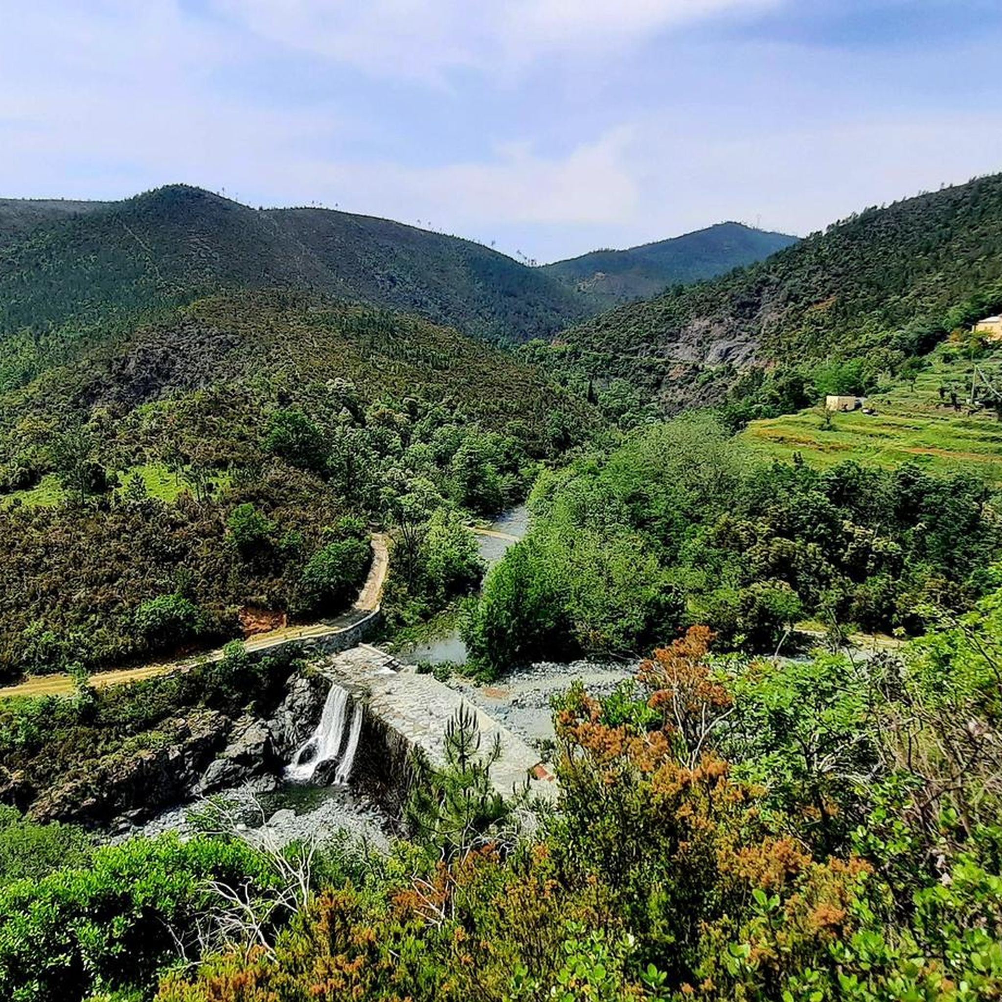
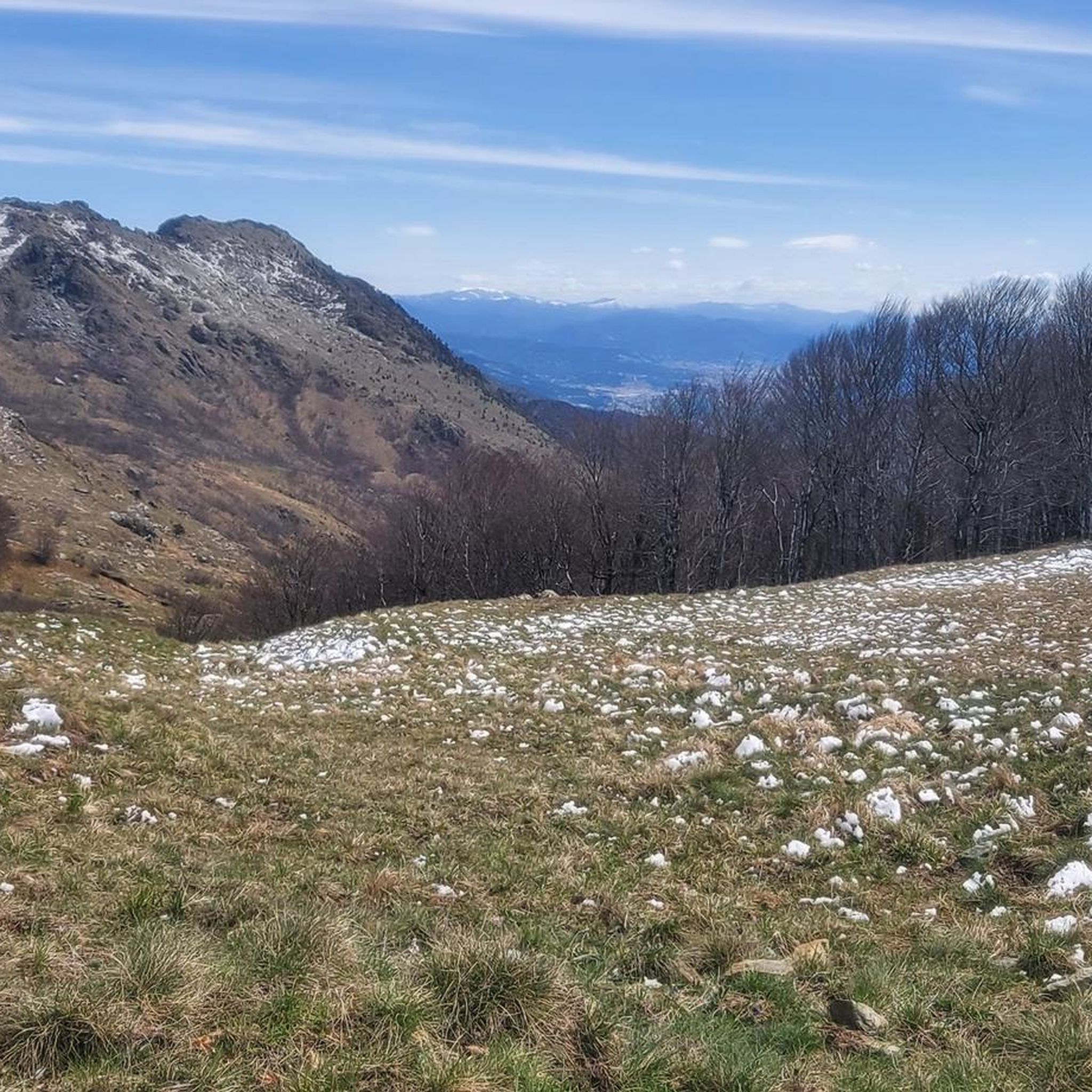
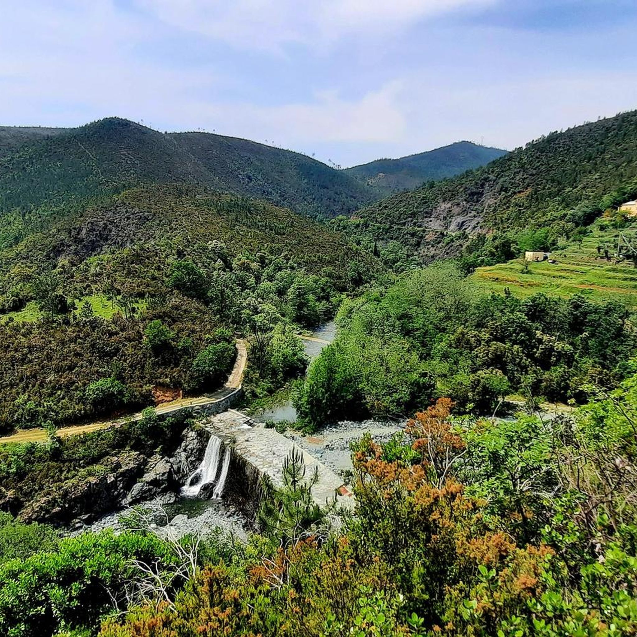
Hiking around Cogoleto offers diverse terrain, from its Mediterranean coastline to the mountainous areas within Beigua Park, a UNESCO Global Geopark. The region features a significant altitude variation, rising from sea level to over 3,700 feet (1,100 meters) within a short distance. This landscape includes ancient Roman bridges, carved river gorges, and unique natural features like Lake du Mei, providing varied experiences for hikers.
Best hiking trails around Cogoleto
- The most popular hiking route is Sentiero dell'Ingegnere to Roman bridges…
Last updated: October 11, 2026
4.3
(19)
87
hikers
10.9km
04:25
550m
550m
Historic engineer's trail through Beigua Park to ancient Roman bridges and carved river gorges.
5.0
(6)
39
hikers
11.3km
05:21
890m
890m
Forest climb to Rifugio Pratorotondo with stunning Mediterranean coastline views from Genova to Savona.

5.0
(3)
14
hikers
12.5km
05:58
940m
930m
Scramble to Monte Rama's summit for sweeping coastal views from Capo Noli to Portofino.
3.7
(3)
8
hikers
6.69km
02:16
180m
170m
Historic trail through Beigua Park featuring ancient two-level bridges over dramatic rocky gorges.
4.7
(32)
151
hikers
14.0km
04:34
450m
450m
Moderate hike. Good fitness required. Mostly accessible paths. Sure-footedness required.
Get access to more routes and recommendations from other explorers.
Already have an account?
Our route recommendations are based on thousands of hikes, rides, and runs completed by other people on komoot.
Start today with a free account
Your next adventure awaits.

Tips from the Community

Very nice and well-maintained rest area.
3
1

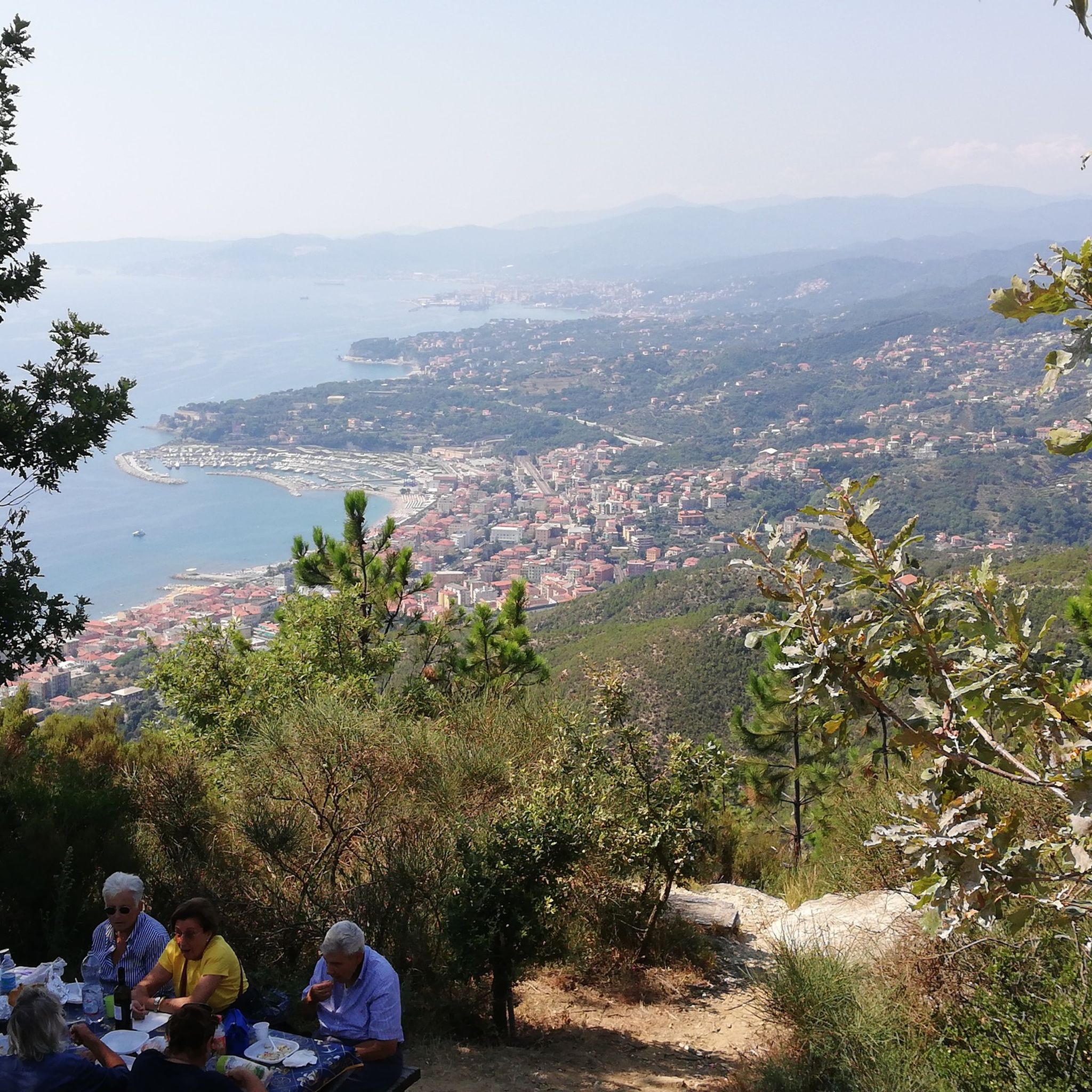
Excellent view of Genoa and the Ligurian coast, a truly special place.
0
0
Very panoramic point from which you can see the sea!
0
0


It is usually open on weekends between May and September
0
0

Easy to reach, with benches and tables to rest and admire the exceptional view!
0
0

Peak of the heart of the people of Cogoleto and beyond. On clear days it is possible to see Corsica, Capraia and the island of Elba. There are many access routes, all beautiful and with different degrees of difficulty. The routes are maintained by Cogoleto Outdoor, an association of volunteers passionate about hiking and mountain biking.
0
0

The Argentea refuge, managed by volunteers from the CAI of Arenzano, is open for overnight stays every weekend from May to September and every day in August. For organized groups, there is the possibility of midweek openings by contacting the number 347 7115341
0
0
Frequently Asked Questions
How many hiking trails are available around Cogoleto?
There are over 70 hiking trails around Cogoleto, offering a wide range of experiences from easy strolls to challenging mountain ascents. These routes traverse diverse terrain, from the Mediterranean coastline to the mountainous areas within Beigua Park.
What kind of natural features can I expect to see on hikes in Cogoleto?
Hiking in Cogoleto offers a variety of natural features. You can explore ancient Roman bridges and carved river gorges within the Beigua Park, a UNESCO Global Geopark. Higher elevations, such as those reached on the Forest climb to Rifugio Pratorotondo, provide stunning views of the Mediterranean coastline. The region also features unique spots like Lake du Mei, known for its deep valley and pothole formed by the Lerca stream.
Are there any family-friendly hiking options in Cogoleto?
Yes, Cogoleto offers several easy paths suitable for families. These trails typically involve less than 300 meters of elevation gain and can be completed in under two hours, making them ideal for all abilities. For example, the Historic Bridges Trail through Beigua Park is a moderate option that is shorter and less strenuous than some of the longer mountain routes.
Can I bring my dog on the hiking trails in Cogoleto?
Many trails in Cogoleto are suitable for dogs, especially those in the natural park areas. However, it's always recommended to keep dogs on a leash, particularly in protected areas like Beigua Park, to protect wildlife and ensure a pleasant experience for all hikers. Always check local regulations for specific trails.
What are some challenging hikes for experienced hikers in Cogoleto?
For experienced hikers seeking a challenge, Cogoleto offers routes with significant elevation gain. The Monte Rama Summit Trail from Sciarborasca is a difficult 12.5 km route with nearly 940 meters of elevation gain, taking around 6 hours. Another demanding option is the Forest climb to Rifugio Pratorotondo, which involves a substantial forest ascent.
Are there any circular hiking routes in Cogoleto?
Yes, there are several circular routes available. For instance, the Pratorotondo Mountain Hut – Cima del Pozzo Shelter loop from Monte Beigua is a moderate 14.3 km loop that offers varied terrain and scenic views. The region also features the Monte Sciguelo Loop from Sciarborasca, which is popular for training and offers magnificent vistas.
What is the best time of year to go hiking in Cogoleto?
The best time for hiking in Cogoleto is generally during the spring and autumn months when the weather is mild and pleasant. Spring brings blooming wildflowers, especially around areas like Lake du Mei. Summer can be hot, particularly at lower altitudes, but higher trails in Beigua Park offer cooler temperatures. Winter hiking is possible, but some higher routes may require appropriate gear due to snow or ice.
What do other hikers say about the trails in Cogoleto?
The hiking trails in Cogoleto are highly regarded by the komoot community, with an average rating of 4.7 stars from nearly 600 reviews. Hikers frequently praise the diverse landscapes, from coastal views to mountain panoramas, and the well-maintained network of trails within Beigua Park.
Are there any huts or shelters along the hiking routes in Cogoleto?
Yes, there are several huts and shelters available. Notable options include Rifugio Pratorotondo, which can be reached via a challenging forest climb, and Argentea Hut. Other shelters like Sambugo Mountain Hut and Casa Miniera Shelter also provide resting points along various routes.
What are some interesting landmarks or places to see near Cogoleto's hiking trails?
Beyond the natural beauty, you can find several interesting landmarks. The Lungomare Europa Cycle and Pedestrian Path offers coastal views. For historical interest, Forte Geremia is a notable site. Hikers can also aim for summits like Monte Reixa for expansive views.
How long do hikes around Cogoleto typically take?
Hike durations in Cogoleto vary significantly depending on the route and your fitness level. Easy paths can be completed in under two hours, while moderate trails like the Sentiero dell'Ingegnere to Roman bridges typically take around 4 hours and 25 minutes. More challenging routes, such as the Monte Rama Summit Trail, can take up to 6 hours.
Are there any trails that offer views of the Mediterranean coastline?
Absolutely. Many trails in Cogoleto, especially those gaining significant elevation, offer breathtaking views of the Mediterranean coastline. The Forest climb to Rifugio Pratorotondo is particularly known for its expansive vistas stretching from Genoa to Savona.
Most popular attractions around Cogoleto

Get inspired with the komoot mobile app


Explore more
Browse the best Hikes in other regions.
