The best walks and hikes around Unterbreizbach
4.6
(5050)
16,137
hikers
77
hikes
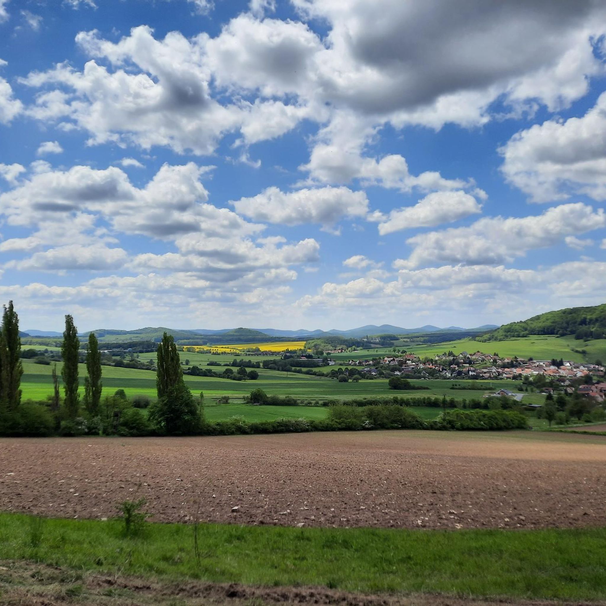
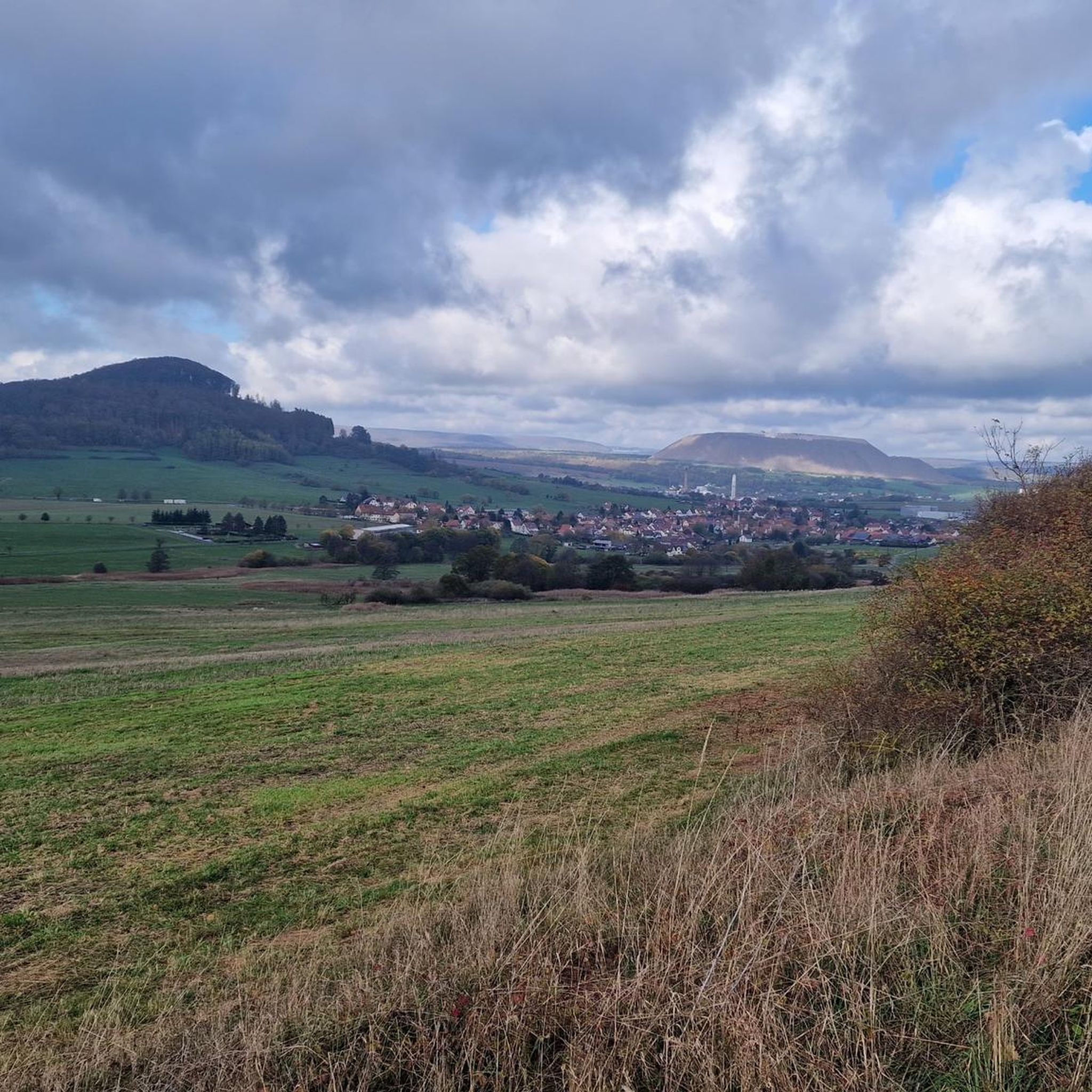
Hiking around Unterbreizbach offers routes through a landscape characterized by rolling hills and extensive green forests. The region is situated within the Rhön, known for its diverse natural features and scenic trails. The Werra River flows through the area, providing additional natural elements to the hiking experience. The Öchsenberg, with its basalt formations, is a notable landmark in the local terrain.
Best hiking trails around Unterbreizbach
- The most popular hiking route is Extra tour Celtic Trail, a difficult 11.3…
Last updated: October 9, 2026
4.7
(154)
494
hikers
18.1km
05:18
500m
510m
Hard hike. Very good fitness required. Mostly accessible paths. Sure-footedness required.
4.6
(20)
64
hikers
15.1km
04:23
400m
400m
Moderate hike. Good fitness required. Mostly accessible paths. Sure-footedness required.

4.8
(109)
343
hikers
8.20km
02:26
250m
250m
Moderate hike. Good fitness required. Easily-accessible paths. Suitable for all skill levels.
4.8
(48)
137
hikers
4.84km
01:32
200m
200m
Easy hike. Great for any fitness level. Easily-accessible paths. Suitable for all skill levels.
4.6
(18)
63
hikers
13.0km
03:51
390m
390m
Moderate hike. Good fitness required. Easily-accessible paths. Suitable for all skill levels.
Get access to more routes and recommendations from other explorers.
Already have an account?
Our route recommendations are based on thousands of hikes, rides, and runs completed by other people on komoot.
Start today with a free account
Your next adventure awaits.
Popular around Unterbreizbach
Ten fantastic hikes throughout Germany
Extra tours North - excellent premium hiking trails of Rhön

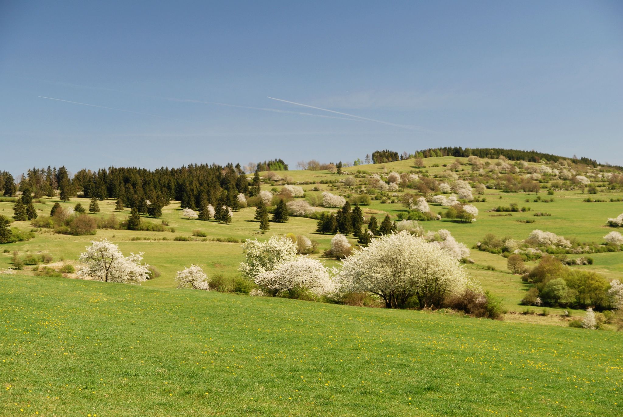
Hiking in the Rhön Mountains where nature and history combine
Celtic hikes — time travel into a past millennium
Cycling around Unterbreizbach
MTB Trails around Unterbreizbach
Road Cycling Routes around Unterbreizbach
Running Trails around Unterbreizbach

Gravel biking around Unterbreizbach
Other adventures around Unterbreizbach


Tips from the Community

From the small bench in the pine grove, one enjoys a beautiful view of the Kegelspiel, Sünna and the Kaliberg.
0
0

We were very impressed; it was compensation for the gravel road torture. 🤭🙄 A nice stamping station.
7
0
When will someone clean this up? 🤣 No, just leave everything as it is. 🤘😎
8
0
It's crazy how powerful volcanoes are, it's interesting.
9
0
We were lucky that we got an individual guidance and instruction with the javelin, Thomas Thank you that was 😎👌
5
0
A 😎🤘 rest and party place👌Röhnclub very 😎🤘
7
0
Mega impressive basalt wall
8
0
Beautiful country, beautiful view, you can't get enough of it.🫠
8
0
Frequently Asked Questions
How many hiking trails are available around Unterbreizbach?
There are over 75 hiking routes around Unterbreizbach, offering a wide range of options for different skill levels and preferences. These trails wind through rolling hills, green forests, and along the Werra River.
Are there easy hiking options suitable for families or beginners?
Yes, Unterbreizbach offers numerous easy hikes, with 38 routes specifically categorized as easy. These are perfect for short excursions or family outings. An example is the Sünna Celtic Village – Öchsenberg Weather Station loop from Wölferbütt, which is an easy 4.2 km trail.
What kind of landscapes can I expect to see while hiking in Unterbreizbach?
The region is characterized by picturesque rolling hills and extensive green forests. You'll also encounter the Werra River, which flows through the area, and the distinctive basalt formations of the Öchsenberg. The area is part of the broader Rhön region, known for its diverse natural beauty.
Are there any circular hiking routes in the area?
Yes, many trails in Unterbreizbach are designed as circular routes, allowing you to start and end at the same point. A popular option is the Basalt cliff at Öchsenberg – Sünna Celtic Village loop from Öchsenberg, a moderate 8.2 km trail.
Can I bring my dog on the hiking trails around Unterbreizbach?
Most hiking trails in the Unterbreizbach area are dog-friendly, allowing you to enjoy the natural surroundings with your canine companion. It's always recommended to keep your dog on a leash, especially in nature reserves or near wildlife, and to carry waste bags.
What interesting landmarks or attractions can I discover on a hike?
Hiking around Unterbreizbach offers access to several notable landmarks. You can visit the Öchsenberg Summit and Celtic Cross for panoramic views, or explore historical sites like the Point Alpha Memorial and the Todesstreifen Memorial at the Inner German Border. The wooden boardwalk in the Rohrlache von Heringen nature reserve also offers a unique experience.
What is the best time of year to go hiking in Unterbreizbach?
Spring is particularly beautiful for hiking in Unterbreizbach, as wildflowers bloom throughout the forests. The mild temperatures of late spring and early autumn also provide ideal conditions for exploring the trails. Summer offers lush green landscapes, while winter can transform the area into a serene, snow-covered wonderland, though some trails might be more challenging.
Are there any long-distance hiking routes that pass through Unterbreizbach?
Yes, Unterbreizbach is a starting point or lies along significant long-distance trails. These include sections of the Green Belt Thuringia, which follows the former inner-German border, and the Main-Werra-Weg. The Extra tour Celtic Trail is another challenging long-distance option in the region.
What do other hikers enjoy most about the trails in Unterbreizbach?
The trails in Unterbreizbach are highly rated by the komoot community, with an average score of 4.7 stars from over 500 reviews. Hikers often praise the diverse terrain, the peaceful forest paths, and the scenic views from elevated points like the Öchsenberg, as well as the well-maintained network of trails.
What is the typical elevation gain on hikes in Unterbreizbach?
The elevation gain varies significantly depending on the trail's difficulty. Easy routes might have minimal ascent, while moderate trails like the Extratour "Keltenpfad": Vacha – Rhön can involve around 400 meters of ascent. The most challenging routes, such as the Extra tour Celtic Trail, can feature over 500 meters of elevation gain, reflecting the region's rolling hills.
Are there any trails that offer historical insights into the region?
Absolutely. Trails along the Green Belt Thuringia provide a unique 'border experience' and historical context, particularly around sites like Point Alpha Memorial. The area's Celtic heritage is also explored on routes like the "Keltenpfad" trails, which often lead to sites like the Sünna Celtic Village.
Most popular routes around Unterbreizbach
Most popular attractions around Unterbreizbach

Get inspired with the komoot mobile app


Explore more
Browse the best Hikes in other regions.
