The best mountain hikes around Vadena - Pfatten
4.8
(44)
365
hikers
31
hikes
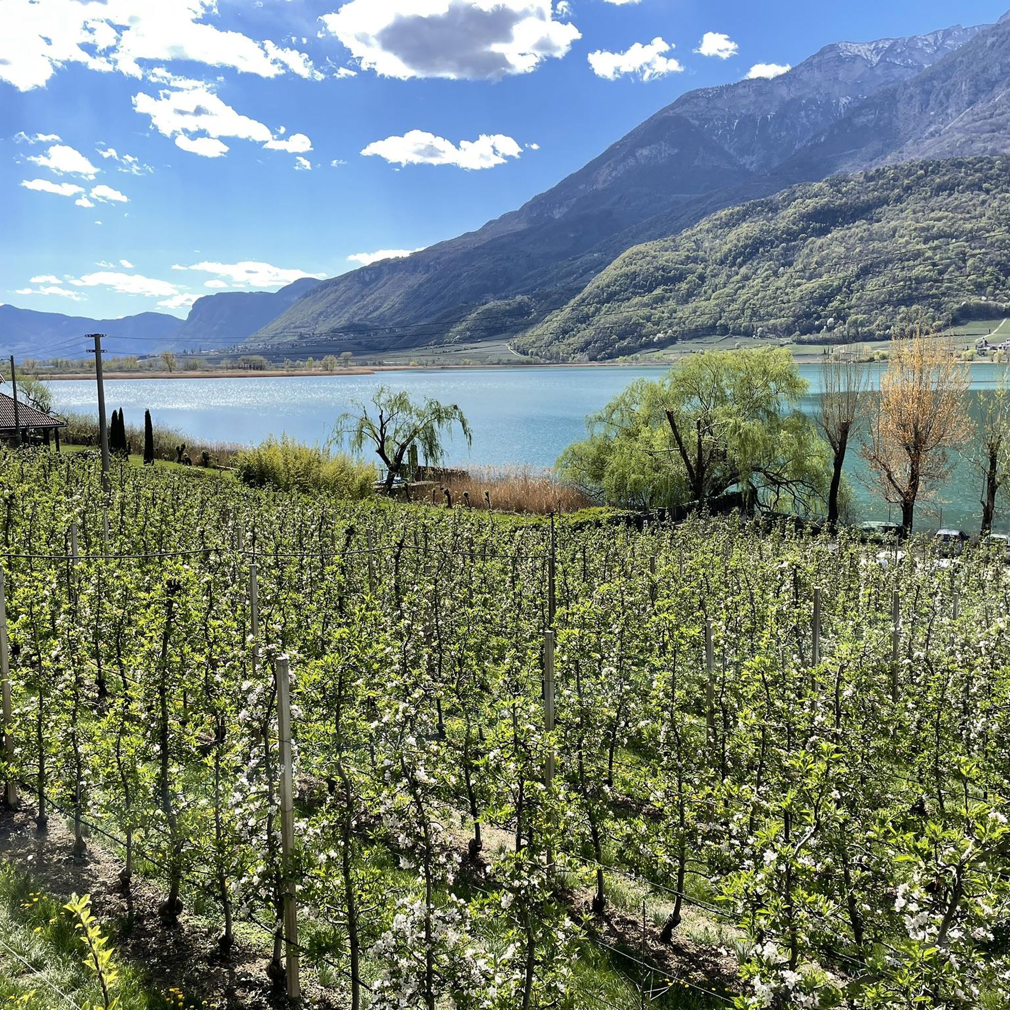
Mountaineering routes around Vadena - Pfatten are characterized by diverse terrain, ranging from the prominent Monte di Mezzo with its porphyry cliffs to the deciduous forests leading to the Monticolo Lakes. The region features steep ascents and offers views over the Adige River valley and surrounding landscapes. These natural features provide varied opportunities for mountaineers seeking both challenging climbs and scenic trails.
Best mountaineering routes around Vadena - Pfatten
- The most popular mountaineering route is Lavinaspitze Above Caldaro – Via Ferrata Monte Roen loop from St.Anton - Sant'Antonio frazione di Caldaro, a 17.2 miles (27.6 km) difficult trail that takes 11 hours 32 minutes to complete, featuring a via ferrata section and significant elevation gain.
- Another top favourite among local mountaineers is Leiferer Höhenweg loop from Laives - Leifers, a moderate 7.4 miles (11.9 km) path. This route offers scenic views along a high trail, typically completed in about 4 hours 16 minutes.
- Local mountaineers also love the Lavinaspitze Above Caldaro loop from St.Anton - Sant'Antonio frazione di Caldaro, a 9.6 miles (15.4 km) trail leading through mountainous terrain with substantial elevation, often completed in about 7 hours 6 minutes.
- Mountaineering around Vadena - Pfatten is defined by porphyry cliffs, the Monte di Mezzo, and deciduous forests. The network offers options for different ability levels, from moderate ascents to difficult routes with significant elevation.
- The routes in Vadena - Pfatten are highly rated by the komoot community with an average score of 4.7 stars from more than 70 reviews. More than 600 mountaineers have used komoot to explore Vadena - Pfatten's varied terrain.
Last updated: August 14, 2026
4.6
(11)
76
hikers
18.5km
07:22
860m
860m
Hard mountaineering route. Very good fitness required. Sure-footedness, sturdy shoes and alpine experience required.
5.0
(3)
19
hikers
15.9km
07:14
1,150m
1,150m
Hard mountaineering route. Very good fitness required. Sure-footedness, sturdy shoes and alpine experience required.

Sign up for free
5.0
(1)
8
hikers
Hard mountaineering route. Very good fitness required. Sure-footedness, sturdy shoes and alpine experience required.
7
hikers
Moderate mountaineering route. Good fitness required. Easily-accessible paths. Suitable for all skill levels.
9
hikers
Moderate mountaineering route. Good fitness required. Mostly accessible paths. Sure-footedness required.
Get access to more routes and recommendations from other explorers.
Sign up for free
Already have an account?
Our route recommendations are based on thousands of hikes, rides, and runs completed by other people on komoot.
Start today with a free account
Your next adventure awaits.
Login or Signup
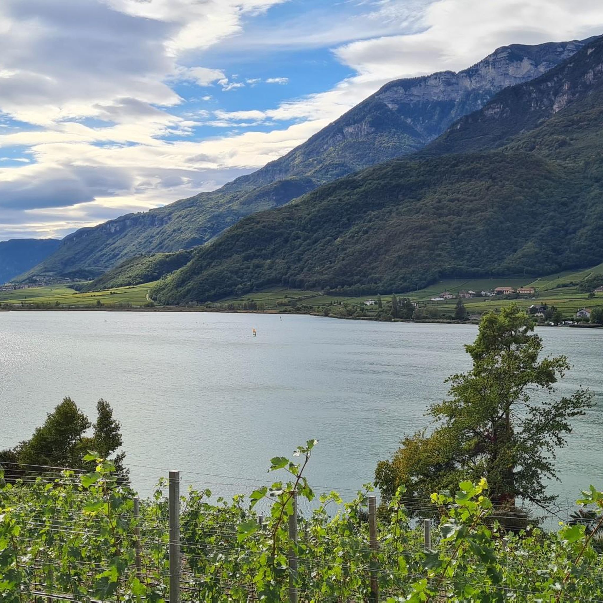
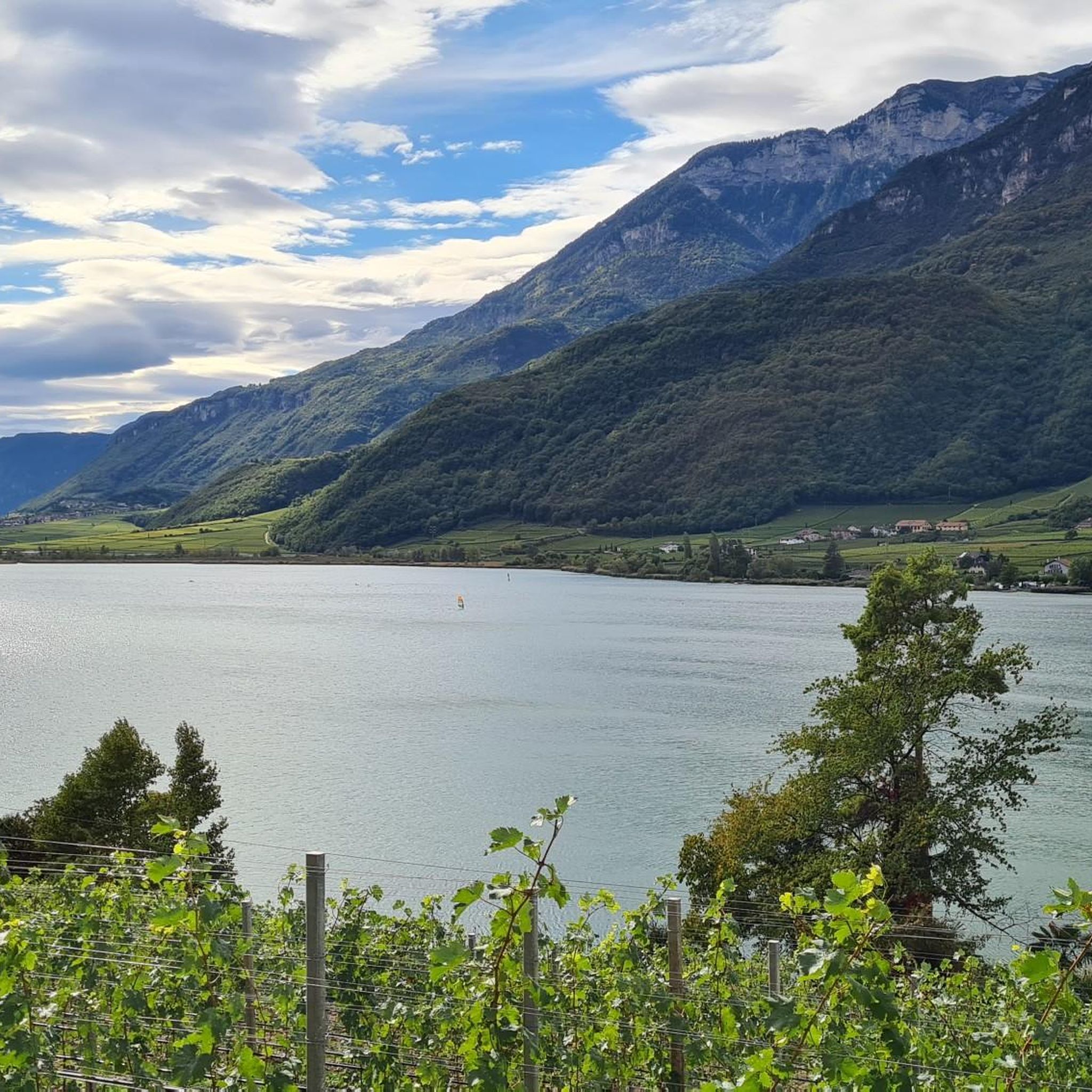
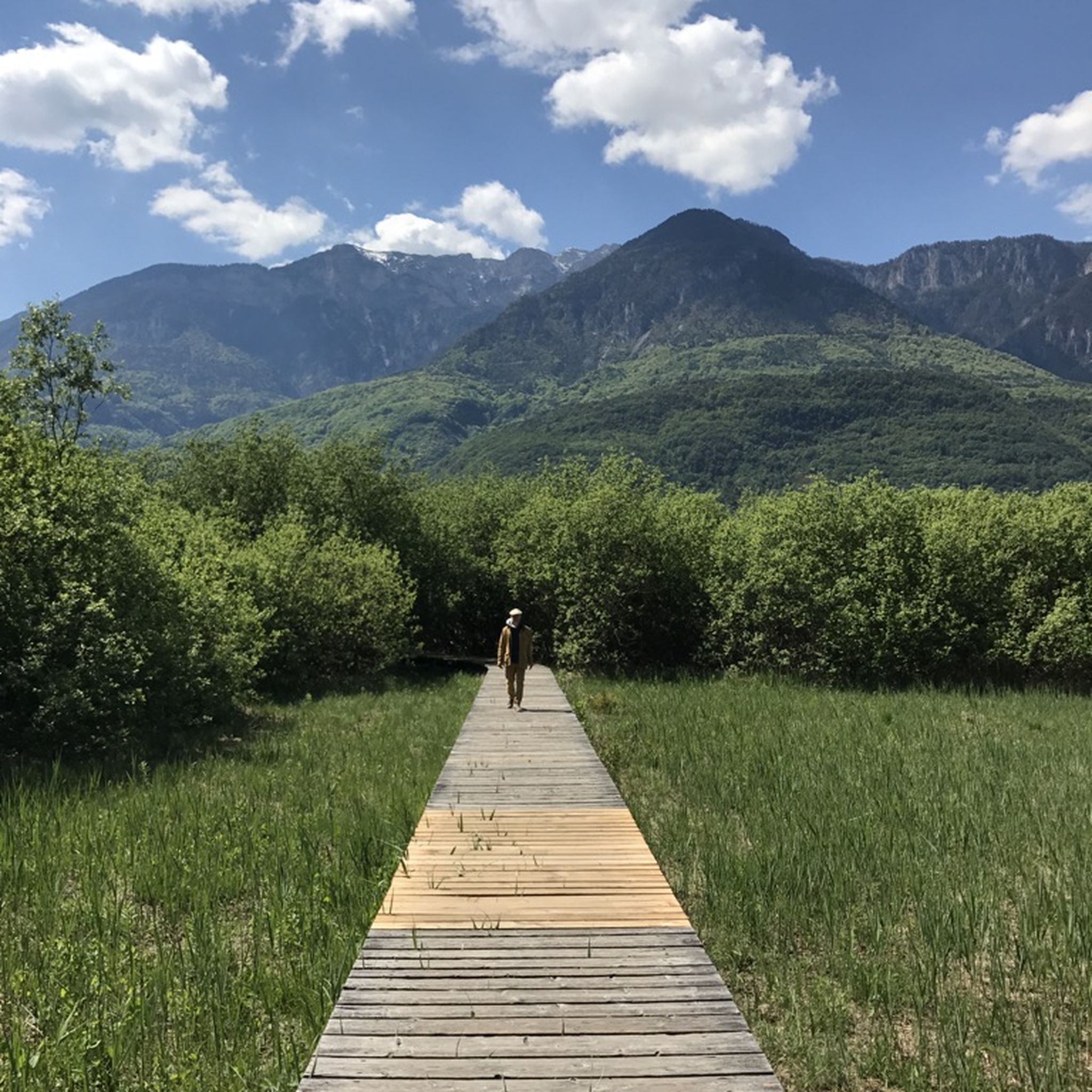
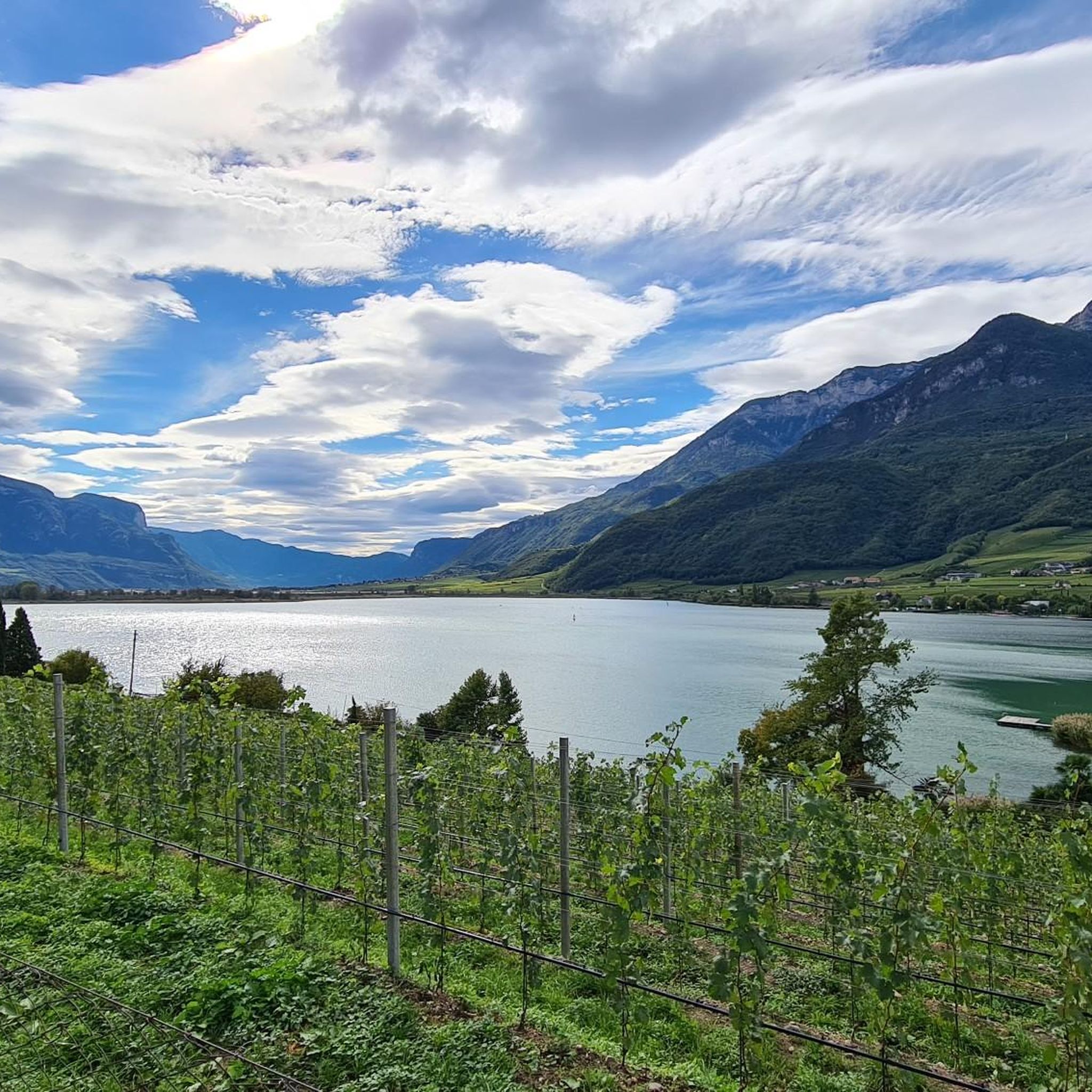

Tips from the Community

A beautiful viewpoint with a great view that invites you to linger.
0
0

Steep descent from Mendel to St. Nikolaus. Forbidden for bicycles and warning about bears!!
0
0

This is not for MTB. You have to look to master this path on foot
0
0

The Mendelbahn also transports bicycles
2
0

Runs every 20 minutes. 10€ for the round trip.
1
0


At the foot of the Roen and Testa Nera peaks, northwest of the center of Termeno on the Strada del Vino, the Val d'Inferno stream produces a charming waterfall here. You can admire it from the path that passes next to it.
0
0

Taking your bike costs 7 euros (day ticket for the bike for the whole of South Tyrol)
1
0
Frequently Asked Questions
How many mountaineering routes are available in Vadena - Pfatten?
Vadena - Pfatten offers a diverse network of over 35 mountaineering routes. These range from moderate ascents to challenging trails with significant elevation gain, catering to various skill levels.
Are there mountaineering routes suitable for beginners or families in Vadena - Pfatten?
While many routes are challenging, there are 14 moderate mountaineering routes in Vadena - Pfatten that could be suitable for those with some experience or families looking for a less strenuous adventure. These often traverse deciduous forests and offer scenic views without the extreme demands of difficult alpine tours.
What natural features can I expect to see on mountaineering routes in Vadena - Pfatten?
Mountaineering routes in Vadena - Pfatten showcase diverse natural features, including the prominent Monte di Mezzo, striking porphyry cliffs, and lush deciduous forests. Many trails offer panoramic views over the Adige River valley and lead towards picturesque areas like the Monticolo Lakes.
Are there any notable viewpoints along the mountaineering trails?
Yes, the region boasts several excellent viewpoints. For instance, you can find the View of Lake Kaltern and the Dolomites from Penegal and the Penegal Observation Tower and Viewpoint, offering expansive vistas of the surrounding landscapes.
Can I find waterfalls or gorges near the mountaineering routes?
Absolutely. The area features impressive natural formations such as the Rastenbach Gorge Waterfall and the Rastenbachklamm Waterfall. You can also explore the unique Staircase in the Hocheppan Gorge and the expansive Bletterbach Gorge.
Are there circular mountaineering routes available in Vadena - Pfatten?
Yes, many mountaineering routes in Vadena - Pfatten are designed as loops. An example is the Leiferer Höhenweg loop from Laives - Leifers, a moderate 7.4-mile (11.9 km) path that offers scenic views and typically takes around 4 hours 16 minutes to complete.
What kind of challenges can I expect on advanced mountaineering routes?
Advanced mountaineering routes in Vadena - Pfatten often involve significant elevation gain and can include via ferrata sections. For example, the Lavinaspitze Above Caldaro – Via Ferrata Monte Roen loop from St.Anton is a difficult 17.2-mile (27.6 km) trail with a via ferrata, requiring very good physical condition and alpine experience.
What do other mountaineers enjoy most about the routes in Vadena - Pfatten?
The mountaineering routes in Vadena - Pfatten are highly rated by the komoot community, with an average score of 4.7 stars from over 70 reviews. Users frequently praise the diverse terrain, from porphyry cliffs to deciduous forests, and the stunning views over the Adige River valley.
Are there any historical landmarks or castles to see near the mountaineering trails?
Yes, the region is rich in historical sites. You can visit the Castelfeder Castle Ruins or the impressive Leuchtenburg Castle. Additionally, the Sanctuary of Maria Weißenstein (Pietralba Sanctuary) is a significant religious landmark in the area.
What is the typical duration for a mountaineering tour in this region?
The duration of mountaineering tours varies significantly based on difficulty and distance. Moderate routes, like the Lenzhof Shrine – Grauner Kirchweg loop, can take around 4 hours. More difficult routes, such as the Lavinaspitze Above Caldaro loop, can extend to 7 hours or more, with some challenging tours lasting over 11 hours.
Are there specific peaks that can be summited on mountaineering routes?
Yes, the region offers opportunities to summit notable peaks. The Monte Roen Summit is a prominent destination, often included in more challenging mountaineering tours that feature via ferrata sections.
Most popular routes around Vadena - Pfatten
Most popular attractions around Vadena - Pfatten

Get inspired with the komoot mobile app


Explore more
Browse the best Mountain Hikes & Routes in other regions.
