The best walks and hikes around Sangineto
4.5
(80)
336
hikers
21
hikes
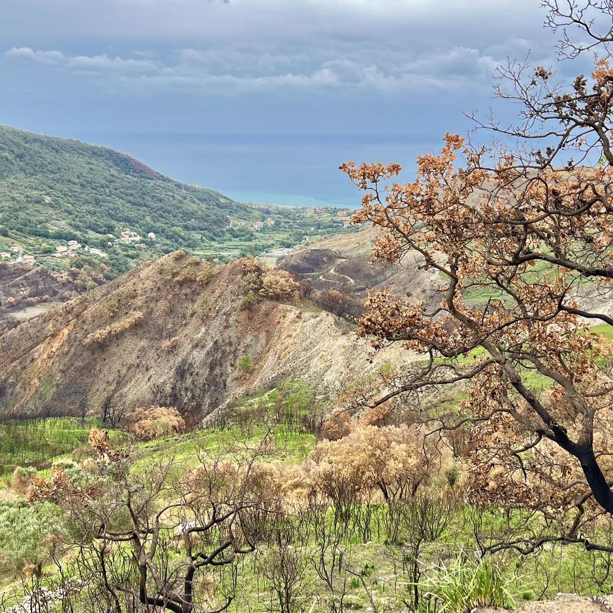
Hiking around Sangineto offers diverse terrain, from coastal hills overlooking the Tyrrhenian Sea to the more rugged landscapes of the nearby Pollino National Park. The region features a mix of forested paths, open hillsides, and routes that provide views of the surrounding valleys and villages. Elevation changes vary, with some trails offering significant climbs into higher ground.
Best hiking trails around Sangineto
- The most popular hiking route is Melara Trail, a 7.7 miles (12.5 km) trail that takes 5 hours 10 minutes to complete. This difficult route features substantial elevation gain through varied terrain.
- Another top favourite among local hikers is Passo del Scalone to Monte Cannitello – Pollino National Park, a difficult 5.6 miles (9.1 km) path. This trail explores the mountainous environment of Pollino National Park, offering panoramic views.
- Local hikers also love the View of Buonvicino – Buonvicino Village loop from Buonvicino, a 6.2 miles (10.0 km) trail leading through village surroundings and hills, often completed in about 3 hours 30 minutes.
- Hiking around Sangineto is defined by coastal views, forested hills, and paths leading into the Pollino National Park. The network offers options for easy hikes near Sangineto for beginners, as well as more challenging routes for experienced hikers.
- The routes in Sangineto are highly rated by the komoot community with an average score of 4.4 stars from over 60 reviews. More than 200 hikers have used komoot to explore Sangineto's varied terrain.
Last updated: August 18, 2026
5.0
(1)
1
hikers
9.08km
05:19
880m
880m
Hard hike. Very good fitness required. Sure-footedness, sturdy shoes and alpine experience required.
5.0
(5)
28
hikers
7.91km
03:24
680m
680m
Hard hike. Good fitness required. Sure-footedness, sturdy shoes and alpine experience required.

Sign up for free
1
hikers
10.1km
02:47
170m
170m
Moderate hike. Good fitness required. Easily-accessible paths. Suitable for all skill levels.
5.0
(4)
10
hikers
12.6km
03:15
60m
60m
Moderate hike. Good fitness required. Easily-accessible paths. Suitable for all skill levels.
4.3
(3)
9
hikers
5.64km
01:44
200m
200m
Easy hike. Great for any fitness level. Easily-accessible paths. Suitable for all skill levels.
Get access to more routes and recommendations from other explorers.
Sign up for free
Already have an account?
Our route recommendations are based on thousands of hikes, rides, and runs completed by other people on komoot.
Start today with a free account
Your next adventure awaits.
Login or Signup
Tips from the Community

The access to the waterfall is closed. The commune has installed a fence.
2
0

A route immersed in nature, you may have some small difficulties near the waterfall, where the terrain is a bit rough, but then you are struck by its spectacle.
2
0

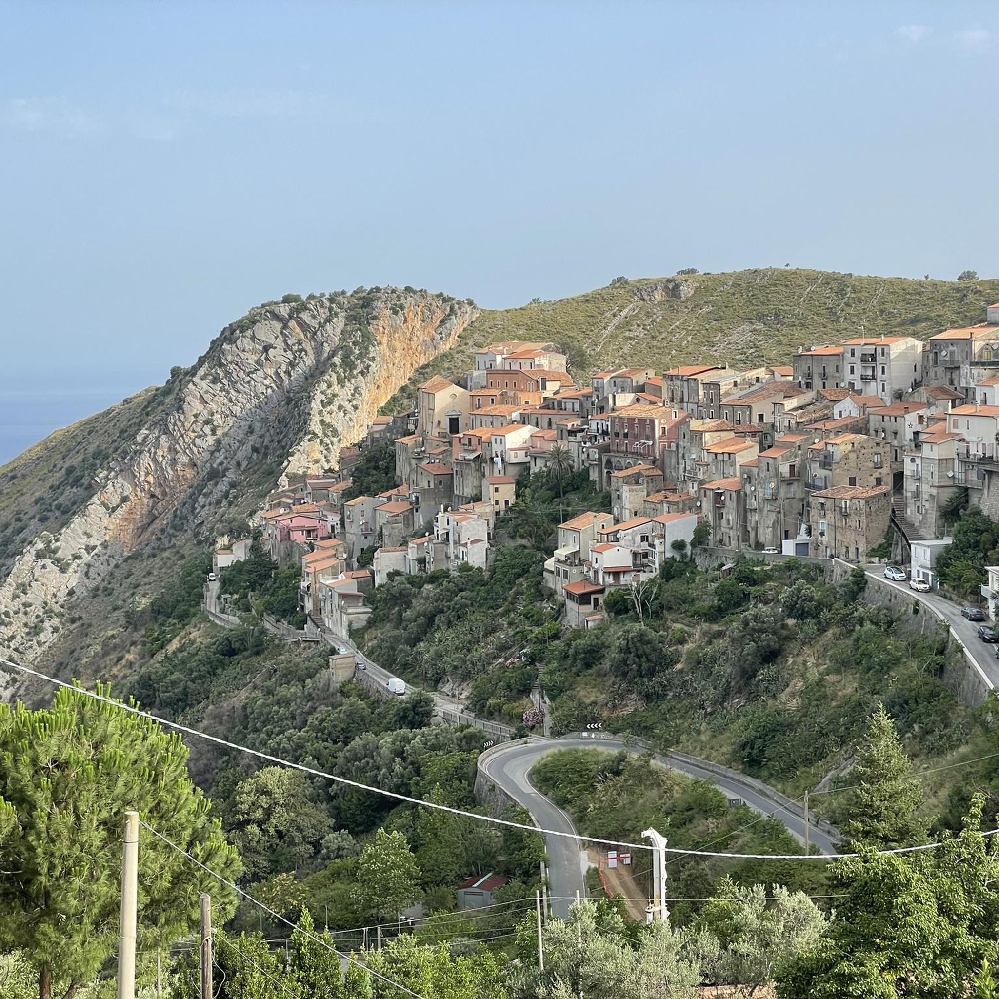
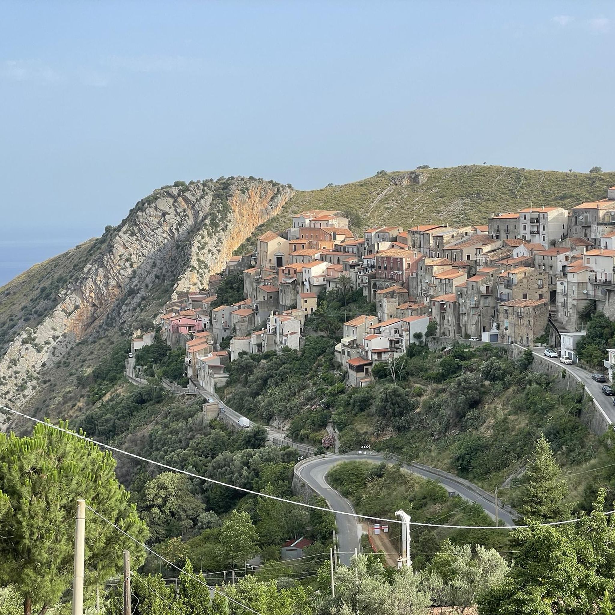
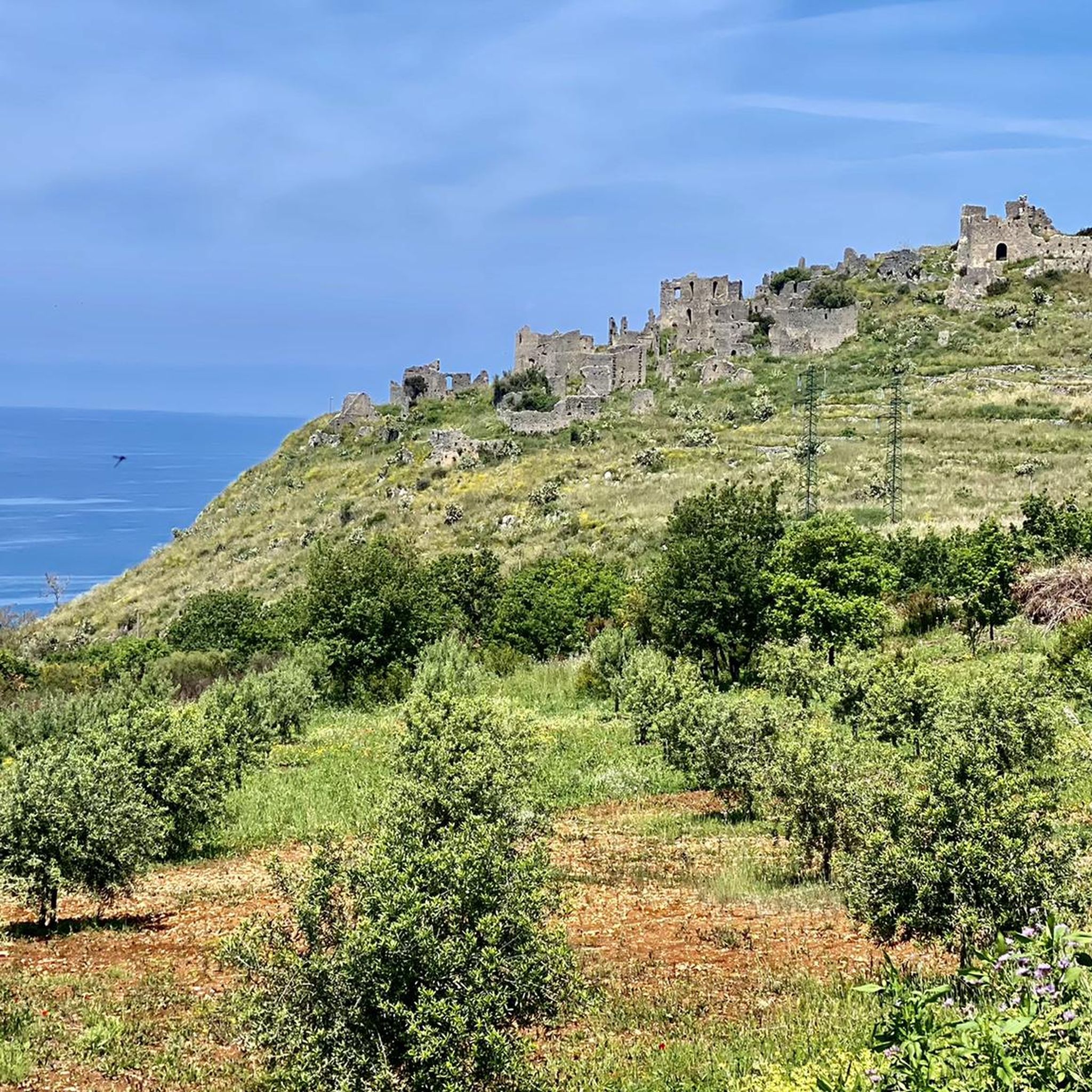
Sangineto, located at 275 meters above sea level in the Pollino National Park, is a village in the Middle Tyrrhenian Cosentino. Founded in the 12th century, it became an important fiefdom during the Angevin era in Calabria, until 1287, when Ruggero Sangineto decided to transfer the residence to Belvedere Marittimo. Among the places of interest stand out the Mother Church of Santa Maria della Neve, the remains of the Ancient Castle and the Vuglio Waterfall, an authentic natural jewel.
1
0
Sangineto is a seaside resort divided between Le Crete and the Lido. The beach of Sangineto Lido is made up of small bays of sand and gravel, with a gently sloping seabed. It is a very popular tourist destination with numerous accommodation facilities. Near the town center is the Pietrabianca beach, a beach with fine sand and pebbles. Furthermore, in the area there are places of historical interest such as the Prince's Castle, the small church of San Michele Arcangelo and the Church of San Mario. Sangineto Lido is a fraction of the Municipality of Sangineto.
0
0
The convent of San Daniele Fasanella, founded in 1595 by the Capuchin friars, served as a center of study and novitiate. Suppressed during the Neapolitan Republic, it was reopened in 1820, then abandoned in 1866 and subsequently occupied by the Franciscans in 1937. The structure has a tufaceous portal on the façade, a porticoed cloister with 17th century frescoes, and a small church with baroque altars dedicated to Franciscan saints.
0
0

Unfortunately, unfortunately, for the second time the tour is in the fog, although the sun is shining in the valley
1
0

We did the hike today and it was beautiful... However, in my opinion it was not a hike for beginners because it was very steep up and down in parts. In the hut there are camp beds for 10 people and a grill and an oven. Pots and pans are also available. There is electricity and running water.
3
0

Not far from the Belvedere Refuge and from the path it allows you to admire Mount Fanghitello (closest) and the majestic Montea with the north and south peaks from a good perspective
0
0
Frequently Asked Questions
How many hiking trails are available around Sangineto?
There are over 20 hiking trails around Sangineto, offering a variety of experiences from coastal views to mountain paths. The komoot community has recorded 21 routes in total.
What do other hikers enjoy most about hiking in Sangineto?
The hiking routes in Sangineto are highly rated by the komoot community, with an average score of 4.4 stars from over 60 reviews. Hikers often praise the diverse terrain, from forested hills to paths with panoramic views of the Tyrrhenian Sea and the Pollino National Park.
Are there easy hikes suitable for beginners in Sangineto?
Yes, Sangineto offers several easy hikes perfect for beginners. Out of the 21 available routes, 9 are classified as easy, providing gentle paths through varied landscapes without significant elevation gain.
Are there challenging hikes for experienced hikers near Sangineto?
Absolutely. For experienced hikers seeking a challenge, there are 5 difficult routes around Sangineto. One notable difficult trail is the Melara Trail, which spans 7.7 miles (12.5 km) with substantial elevation gain, taking approximately 5 hours 10 minutes to complete.
Can I find trails with waterfalls near Sangineto?
Yes, the region around Sangineto features beautiful natural monuments, including waterfalls. You can explore areas near the U Vugliu Waterfall and the Fra' Giovanni Waterfall, which are popular highlights for hikers.
Are there family-friendly hiking options in Sangineto?
Many of the easier routes around Sangineto are suitable for families. These trails often feature less challenging terrain and shorter distances, making them enjoyable for all ages. Look for routes classified as 'easy' for the best family experience.
Are dogs allowed on hiking trails around Sangineto?
Generally, dogs are welcome on hiking trails in the Sangineto area, especially on public footpaths. However, it's always recommended to keep them on a leash, particularly in nature reserves or areas with livestock, and to clean up after them.
What kind of natural attractions can I see while hiking near Sangineto?
Beyond waterfalls, hikers can discover other natural wonders. The San Ciriaco Cave is a notable highlight, and you might also encounter the serene Lago della Paglia or the striking rock formation of Pietra Portusata.
Are there historical sites or castles to explore near the hiking trails?
Yes, the region is rich in history. Hikers can combine their outdoor adventures with visits to historical sites. Notable attractions include the Aragonese Castle of Belvedere Marittimo, Malvito Castle, and the charming Sangineto Historic Village.
What is the best time of year to go hiking in Sangineto?
The best times for hiking in Sangineto are typically spring (April to June) and autumn (September to October). During these seasons, the weather is mild and pleasant, making for comfortable hiking conditions. Summer can be hot, especially on coastal trails, while winter hiking is possible but higher elevations, particularly in Pollino National Park, may experience snow.
Are there any circular hiking routes in Sangineto?
Yes, many hikers prefer circular routes for convenience. An excellent option is the View of Buonvicino – Buonvicino Village loop from Buonvicino, a moderate 6.2 miles (10.0 km) trail that takes about 3 hours 30 minutes to complete.
Is parking available at the trailheads in Sangineto?
Parking availability varies by trailhead. For routes starting near villages or popular attractions, you can often find designated parking areas. For more remote trails, roadside parking might be an option, but it's always advisable to check local signage and regulations.
Most popular attractions around Sangineto

Get inspired with the komoot mobile app


Explore more
Browse the best Hikes in other regions.
