The best walks and hikes around Palazzolo Dello Stella
4.3
(291)
4,875
hikers
153
hikes
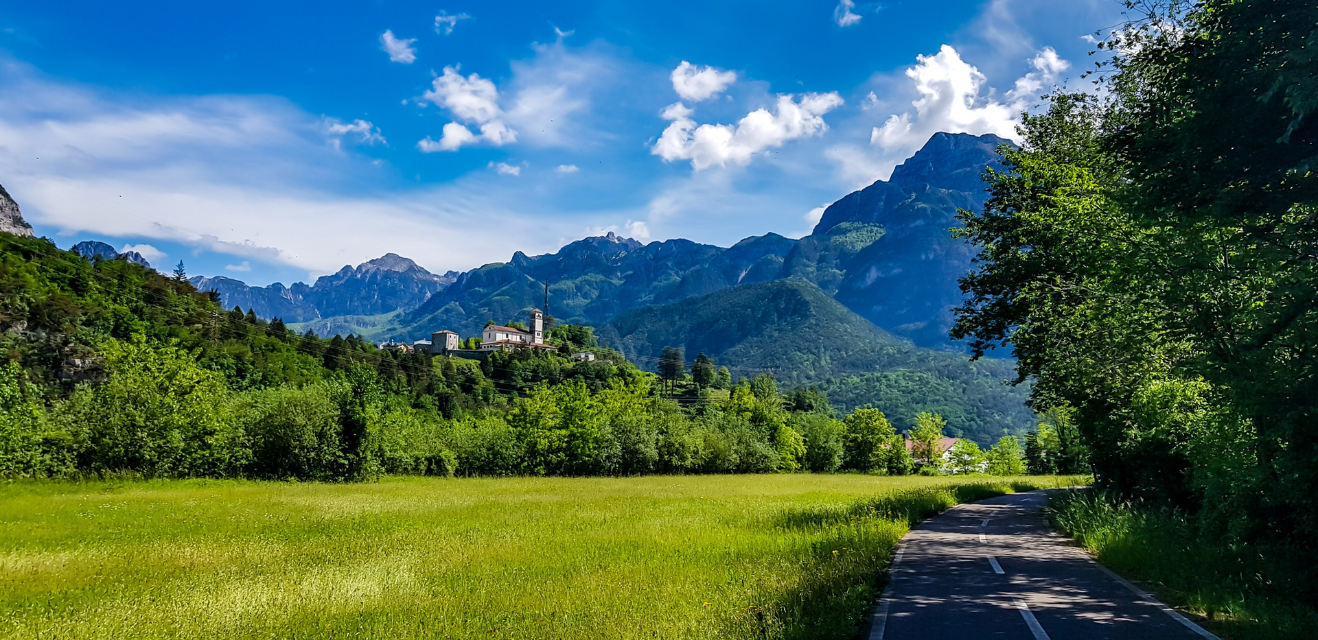
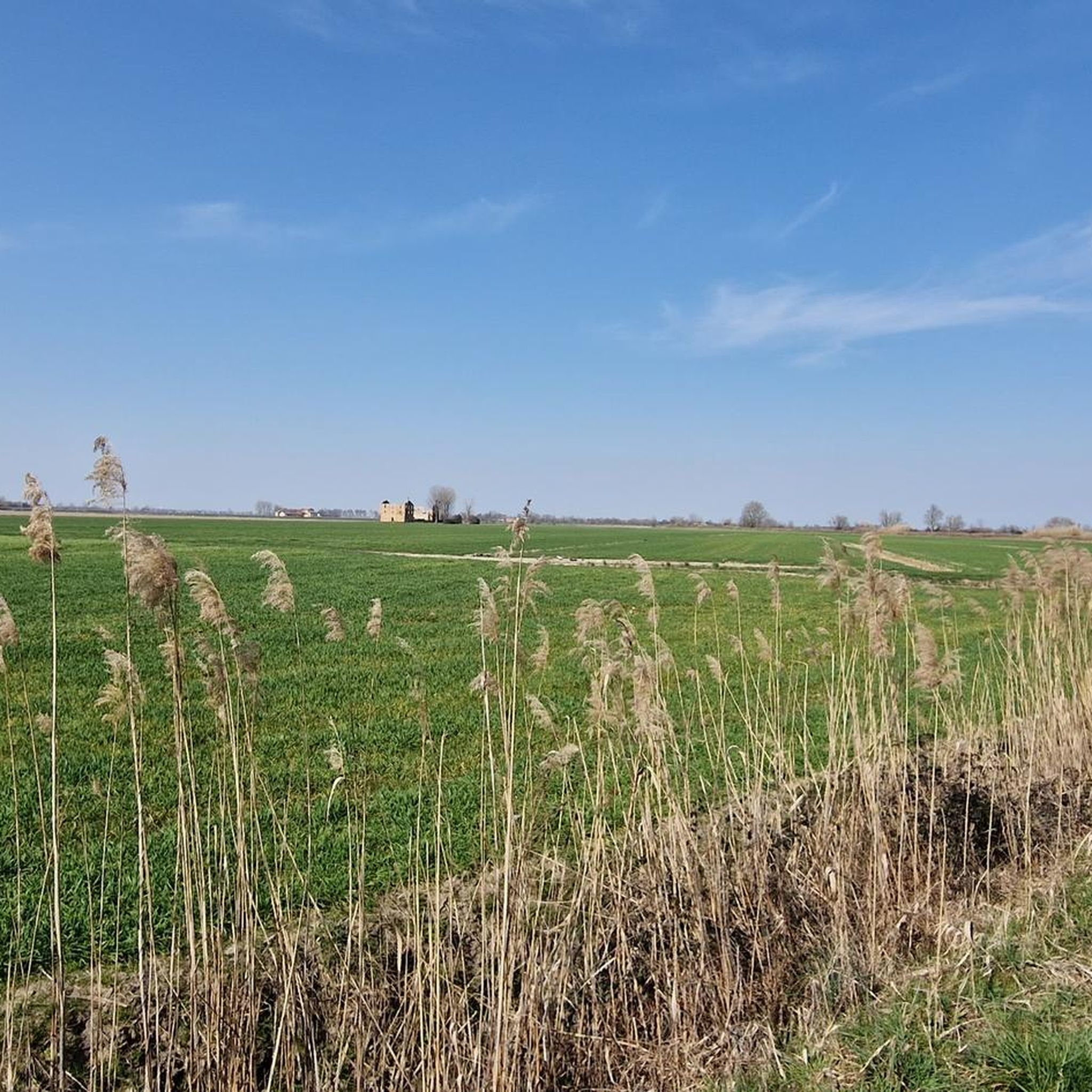
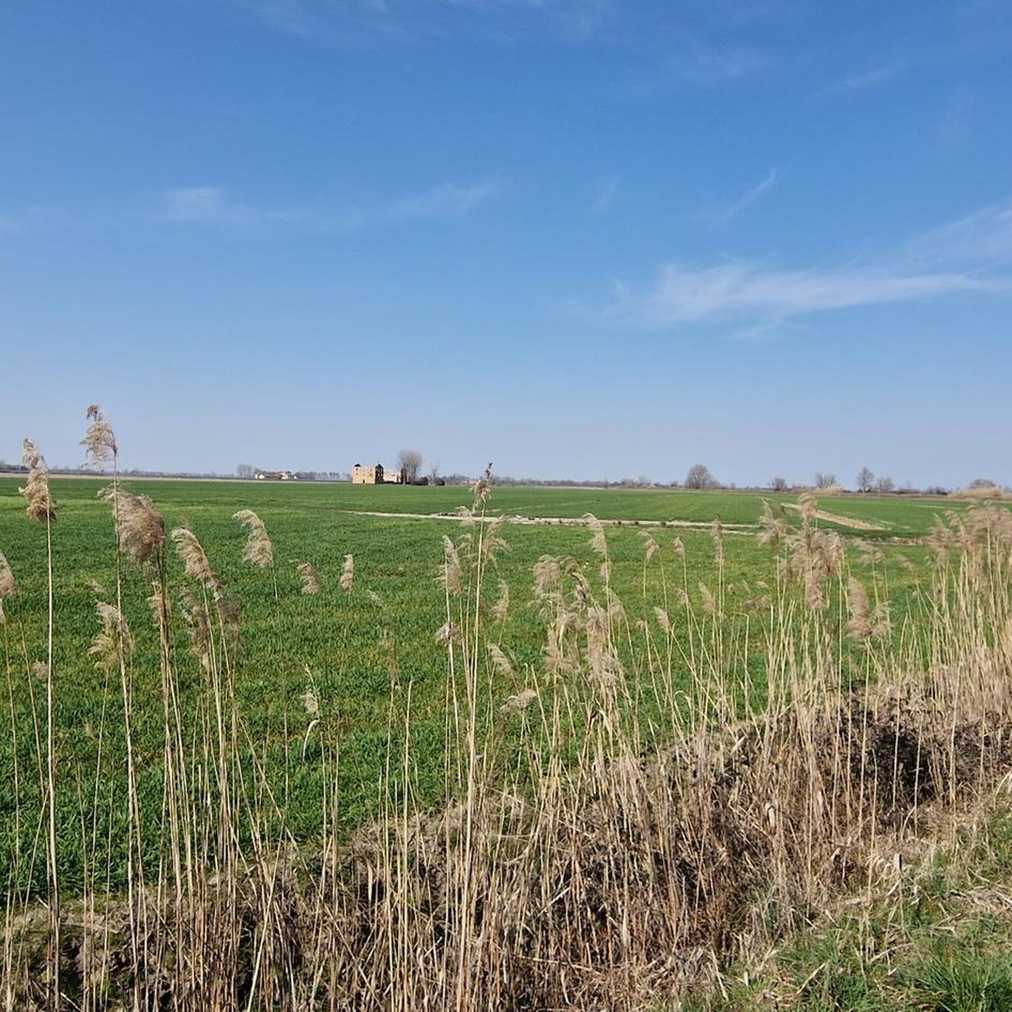
Hiking around Palazzolo Dello Stella offers routes through a landscape characterized by low-lying plains, riverine environments, and extensive woodlands. The region features gentle terrain with minimal elevation changes, making it suitable for various activity levels. Trails often follow the courses of rivers like the Tagliamento and Cormor, providing opportunities to explore local forests such as Bosco degli Arvonchi.
Best hiking trails around Palazzolo Dello Stella
- The most popular hiking route is Tagliamento Cycleway Trail, a 14.8 miles (23.8 km)…
Last updated: November 4, 2026
23.8km
06:00
30m
30m
Hard hike. Very good fitness required. Easily walkable paths.
4.8
(4)
14
hikers
Moderate hike. Good fitness required. Easily walkable paths.

4.7
(3)
15
hikers
4.40km
01:06
0m
0m
Easy hike. Easily walkable paths.
8
hikers
4.43km
01:07
10m
0m
Easy hike. Easily walkable paths.
5.0
(4)
6
hikers
4.73km
01:12
10m
10m
Easy hike. Easily walkable paths.
Get access to more routes and recommendations from other explorers.
Already have an account?
Our route recommendations are based on thousands of hikes, rides, and runs completed by other people on komoot.
Start today with a free account
Your next adventure awaits.
Popular around Palazzolo Dello Stella

Other adventures around Palazzolo Dello Stella

Tips from the Community

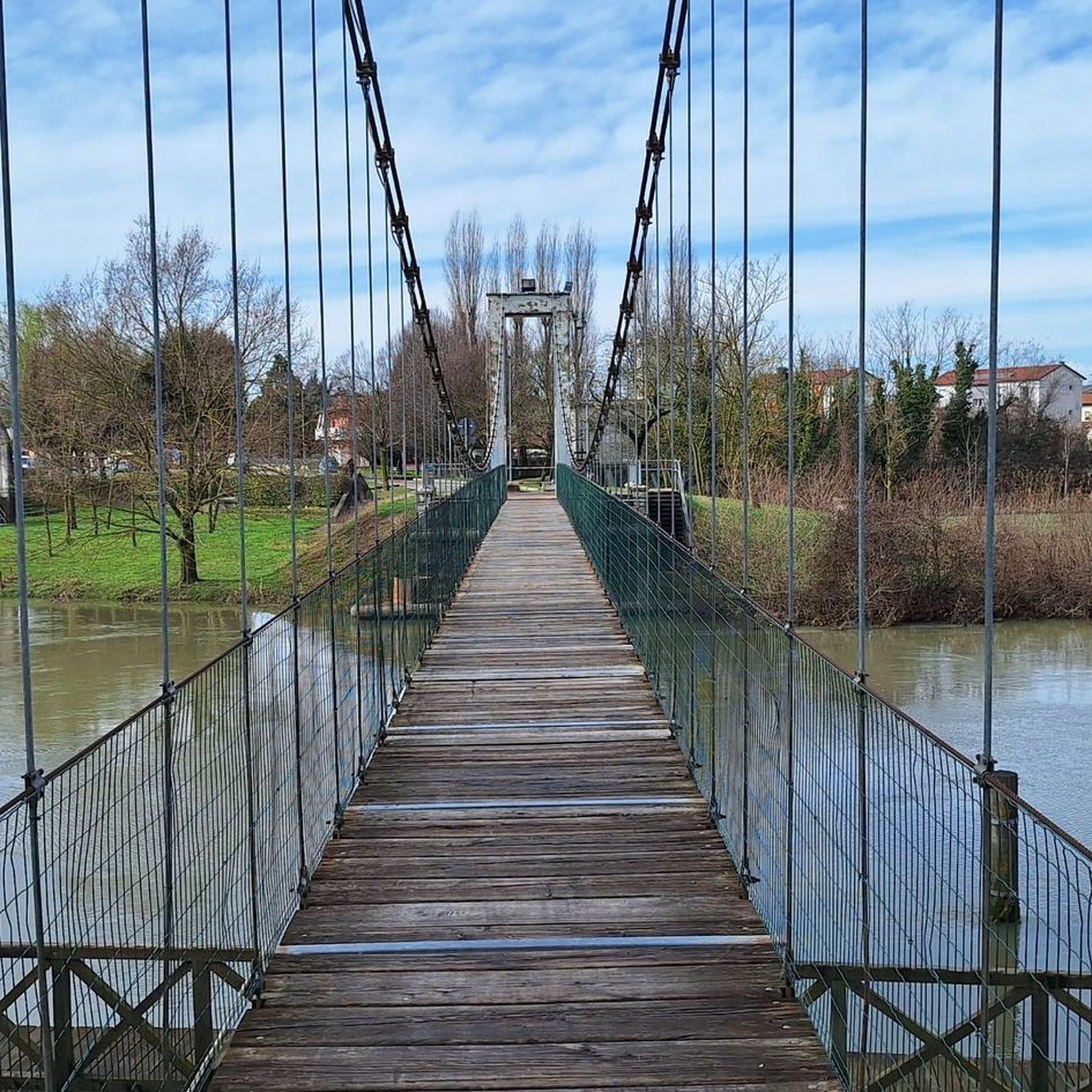
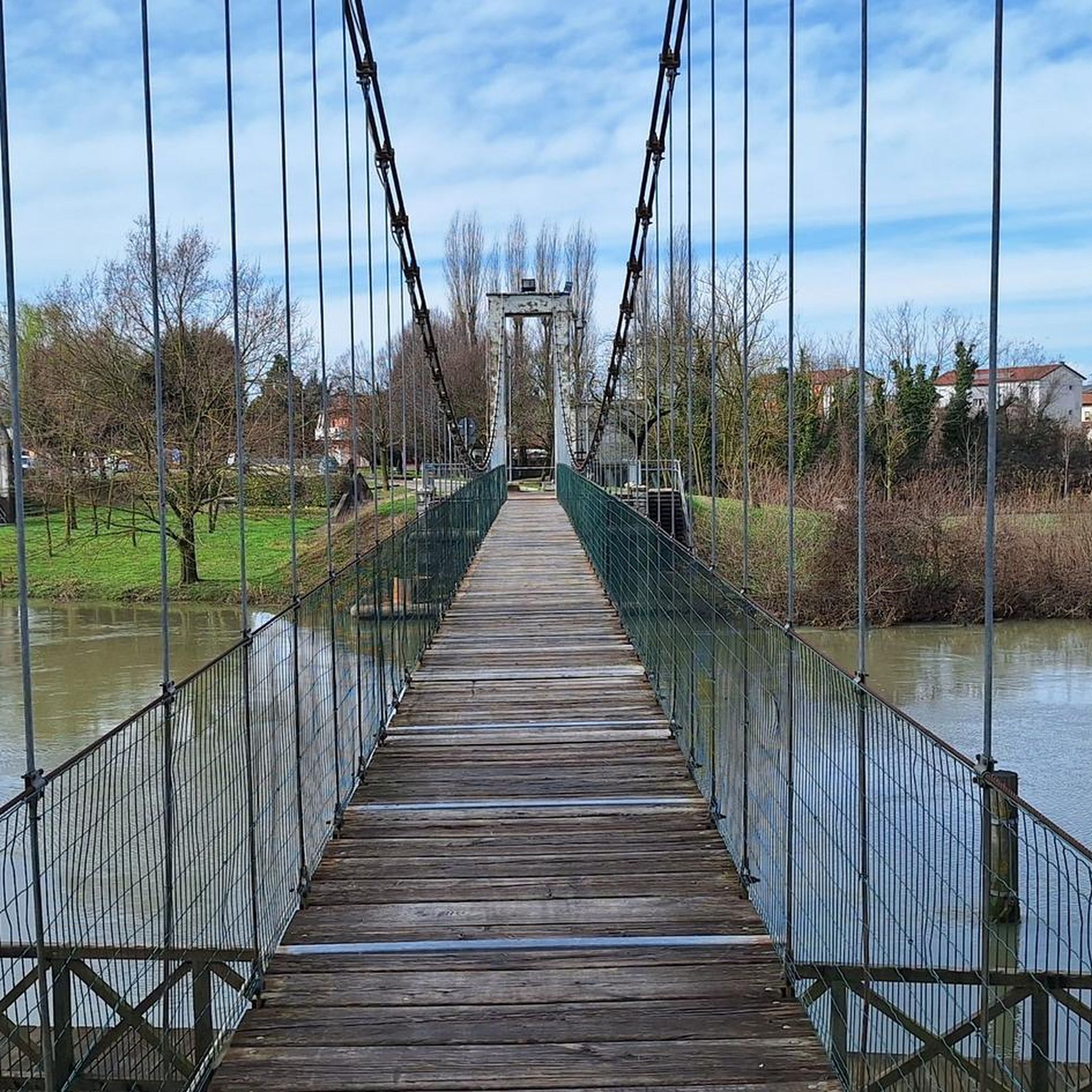
At this point, a classic bridge with typical iron railings crosses the Cormor.
1
0
A modern cycle bridge, the design of which is now used on many Italian cycle paths, and which is impassable for car traffic. It's perfect for cycling over and taking photos of the Stella River.
0
0


A beautiful bridge built for pedestrians and cyclists who use the equipped area along the Stella River
0
0

Recently built, it connects the two banks of the Stella River through a network of pleasant and easy dirt roads.
0
0

nice section on single track without any difficulty. Always passable
0
0
nice gravel passage on single track without any particular difficulty. It offers a little shade in the warmer months
0
0
beautiful bridge in the gusts of the Stella and with a beautiful view
1
0
Frequently Asked Questions
How many hiking trails are available around Palazzolo Dello Stella?
There are over 150 hiking trails around Palazzolo Dello Stella, offering a wide range of options for different preferences and fitness levels. The region is known for its gentle terrain, making many routes accessible.
Are there easy or beginner-friendly hiking options in Palazzolo Dello Stella?
Yes, Palazzolo Dello Stella is ideal for beginners and those seeking easy walks. Out of the 155 available routes, 119 are classified as easy, featuring minimal elevation changes and well-defined paths through woodlands and along rivers. A good example is the Cormor River Bridge – Selva Arvonchi loop from STAI, which is an easy 2.8-mile trail.
What are the typical lengths of hiking trails in this area?
Trail lengths vary, from short strolls to longer excursions. You can find routes like the 2.8-mile Cormor River Bridge – Selva Arvonchi loop from STAI, suitable for a quick outing, up to the 14.8-mile Tagliamento Cycleway Trail for a full day's adventure. Most trails fall within the easy to moderate range.
Are there circular hiking routes around Palazzolo Dello Stella?
Yes, many of the trails in Palazzolo Dello Stella are designed as circular routes, allowing you to start and end at the same point. Examples include the Lupo di Muzzana – Bosco degli Arvonchi loop from Muzzana del Turgnano / Muçane and the Bosco degli Arvonchi loop from Muzzana del Turgnano / Muçane, which take you through the scenic woodlands.
What kind of natural attractions can I expect to see along the trails?
The trails often follow river courses like the Tagliamento and Cormor, leading through extensive woodlands such as Bosco degli Arvonchi. You might encounter highlights like the Tagliamento River Mouth or the Ariis area, known for its riverine landscapes. The region's flat terrain also offers views of the Marano Lagoon.
Are the hiking trails in Palazzolo Dello Stella suitable for families with children?
Absolutely. The gentle terrain and numerous easy routes make Palazzolo Dello Stella very family-friendly. Many trails are relatively short and flat, perfect for children. The woodland paths provide a safe and engaging environment for younger hikers.
Can I bring my dog on the hiking trails?
Generally, dogs are welcome on most hiking trails in the Palazzolo Dello Stella region. However, it's always advisable to keep your dog on a leash, especially in nature reserves or areas with wildlife, and to check local regulations for specific trails or protected areas.
What is the best time of year to go hiking in Palazzolo Dello Stella?
The best time for hiking is typically during spring (April-May) and autumn (September-October) when temperatures are mild and the natural scenery is vibrant. Summer can also be pleasant, especially in the shaded woodland areas, but it's advisable to hike early in the morning or late afternoon to avoid the midday heat.
Are there any interesting landmarks or cultural sites near the hiking routes?
Yes, beyond the natural beauty, you can find cultural points of interest. For instance, the Bevazzana Swing Bridge is a notable landmark, and the Sanctuary of Titiano offers a glimpse into local heritage. These can often be incorporated into or found near hiking routes.
What do other hikers enjoy most about the trails in Palazzolo Dello Stella?
The komoot community rates the trails highly, with an average score of 4.2 stars from over 200 reviews. Hikers frequently praise the tranquility of the riverine environments and the peacefulness of the extensive woodlands like Bosco degli Arvonchi. The flat, accessible nature of the paths is also a common highlight.
Is public transport available to access the hiking trails?
While specific public transport connections directly to every trailhead might be limited in this rural area, local bus services connect the main towns and villages. Planning your route in advance and checking local bus schedules is recommended if you intend to rely on public transport for trail access.
Are there places to eat or drink near the hiking trails?
You'll find cafes and trattorias in the villages and towns surrounding the hiking areas, such as Palazzolo Dello Stella itself or nearby Muzzana del Turgnano. It's a good idea to plan your hike to pass through or end near one of these settlements for refreshments.
Most popular routes around Palazzolo Dello Stella
Most popular attractions around Palazzolo Dello Stella

Get inspired with the komoot mobile app


Explore more
Browse the best Hikes in other regions.
