The best walks and hikes around Cellole
4.1
(89)
358
hikers
31
hikes
Hiking around Cellole offers diverse landscapes in Italy's Campania region. The area is characterized by volcanic terrain, providing unique trails and elevated viewpoints. Coastal proximity to the Gulf of Gaeta allows for walks where land meets the sea. The nearby Parco Regionale Roccamonfina - Foce Garigliano also provides extensive natural scenery.
Best hiking trails around Cellole
- The most popular hiking route is Cescheto, San Carlo, and Sipicciano Trail, a 5.9 miles (9.5 km) trail that takes 2 hours 41…
Last updated: November 1, 2026
4.5
(6)
27
hikers
24.2km
06:34
370m
180m
Hard hike. Very good fitness required. Easily walkable paths.
2
hikers
9.46km
02:42
220m
220m

3.5
(2)
2
hikers
3.66km
00:56
10m
10m
Easy hike. Easily walkable paths.
5.0
(3)
21
hikers
Moderate hike. Good fitness required. Easily walkable paths.
2.0
(1)
7
hikers
10.1km
02:55
260m
260m
Moderate hike. Good fitness required. Easily walkable paths.
Get access to more routes and recommendations from other explorers.
Already have an account?
Our route recommendations are based on thousands of hikes, rides, and runs completed by other people on komoot.
Start today with a free account
Your next adventure awaits.

Tips from the Community

The Chapel of Our Lady of the Snow was originally built in the 12th century as a votive chapel.
0
0
The Chiesa dell'Annunziata, also called Chiesa di Sant ' Eustachio, is located directly on the edge of the old town near the historic market square. Its floor plan is in the shape of a Greek cross. The massive Baroque facade is flanked by two side bell towers with pagoda-like domes. The main dome is decorated with ornate majolica tiles.
2
0
The Chiesa di Santa Lucia in the historic center of Sessa Aurunca, dating from the 14th/15th century, is a historic rectory church on Via Santa Lucia. It is under the protection of the archaeological supervisory authority. It has a bell tower on the right side.
2
0
Signpost of the Via Francigena in the South in Sessa Aurunca
2
0
The Real Ferdinando Bridge is named after the Bourbon King Ferdinand II and is the first suspension bridge in Italy.
0
0


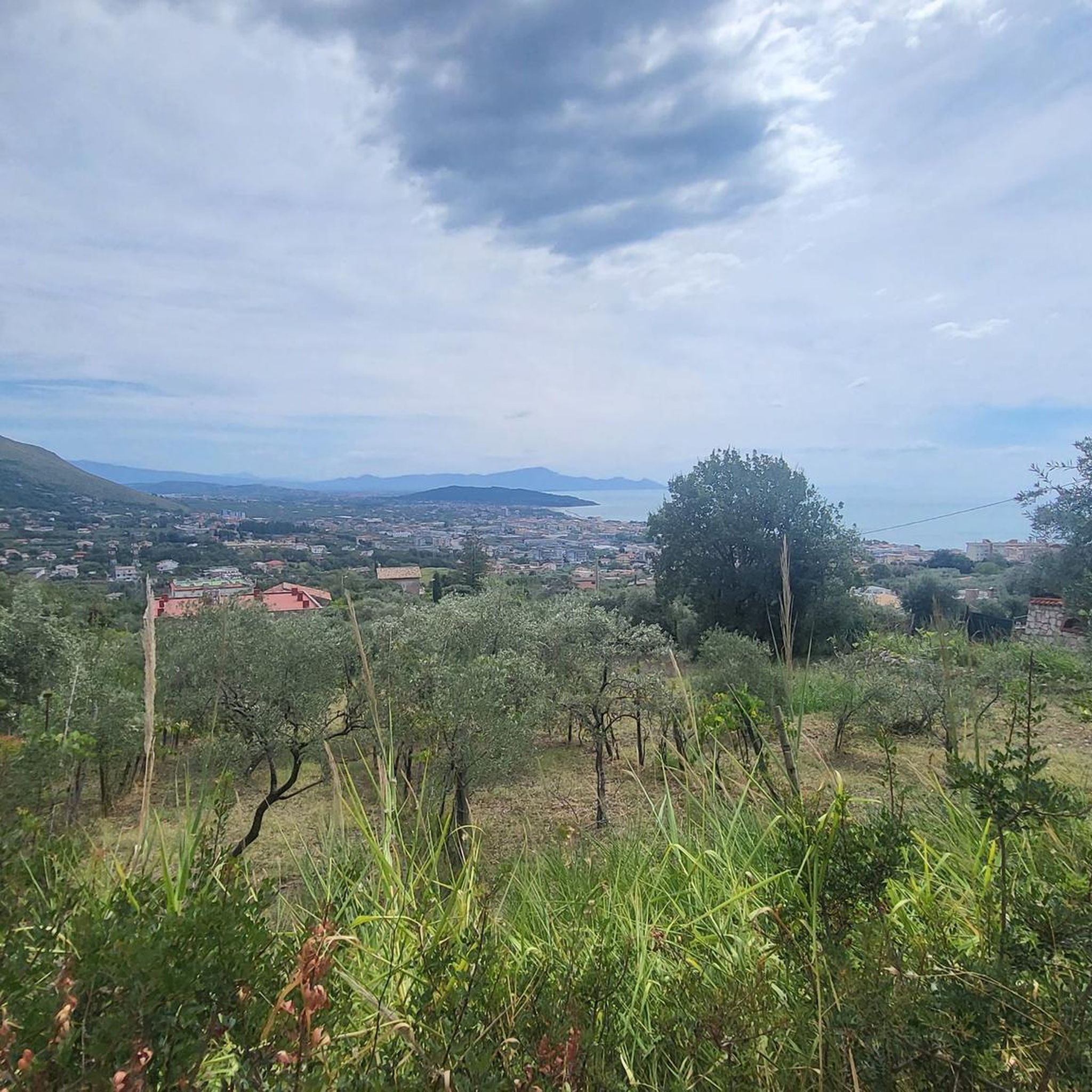
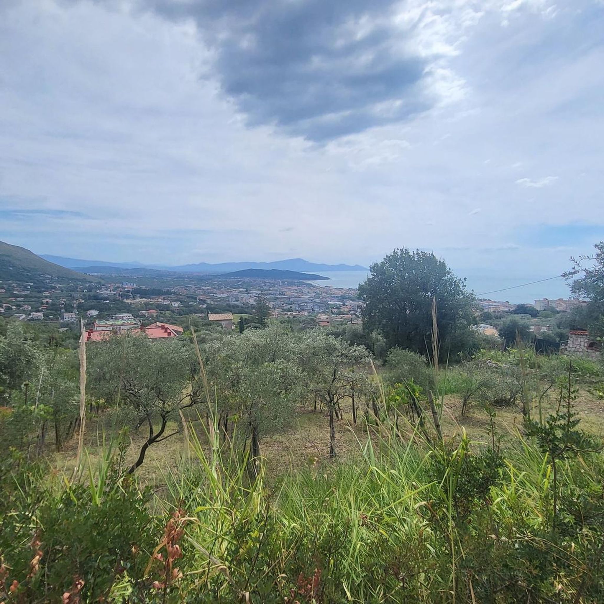
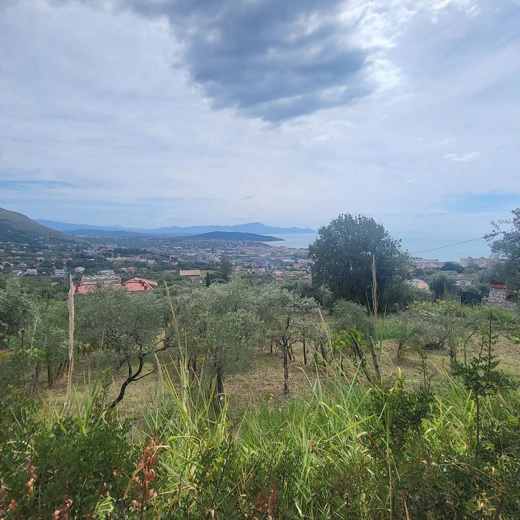
The climb to the Castle is quite steep but not very long, the last stretch is not easy to ride on a mountain bike. But the effort and the fatigue are rewarded by an exceptional view. To do ……
0
0

An important and flourishing center needed a sufficient water supply, which was ensured by the aqueduct. A surprising amount of it has been preserved. https://www.viviminturnoscauri.it/luoghi/acquedotto-vespasiano/
0
0
Frequently Asked Questions
How many hiking trails are available around Cellole?
Cellole offers a diverse network of over 20 hiking trails. These routes cater to various preferences, ranging from easy coastal walks to more challenging paths through volcanic landscapes.
What makes hiking in Cellole unique?
Hiking in Cellole is unique due to its blend of volcanic terrain, coastal views, and rich historical sites. You can explore ancient Roman aqueducts, medieval monasteries, and enjoy panoramic vistas stretching from the Gulf of Naples to the Riviera of Ulysses.
Are there easy hiking trails suitable for beginners in Cellole?
Yes, Cellole has several easy trails perfect for beginners. An excellent option is the Minturno and the bridge over the Garigliano – loop tour, which is an easy 2.3-mile (3.7 km) path offering pleasant views near the Garigliano river.
Where can I find longer or more challenging hikes in Cellole?
For longer and more challenging experiences, consider routes that venture into the volcanic landscapes. The Cescheto, San Carlo, and Sipicciano Trail is a moderate 5.9-mile (9.5 km) route with significant elevation gain. Another option is the Monastery of Saint Anna – Rocca di Monte Dragonis loop from chiesetta del Belvedere, an 8.5-mile (13.7 km) trail that takes you through historical sites and offers elevated views.
Are there any circular hiking routes around Cellole?
Yes, many trails in Cellole are designed as loops, allowing you to start and end at the same point. Examples include the easy Minturno and the bridge over the Garigliano – loop tour and the more extensive Monastery of Saint Anna – Rocca di Monte Dragonis loop from chiesetta del Belvedere.
Can I find hikes with historical sites or landmarks in Cellole?
Absolutely. Cellole's trails often integrate historical and cultural points of interest. You can explore the ancient Monastery of Saint Anna, discover the remains of the Vespasian Aqueduct, or visit the historic Ponte Real Ferdinando, an early suspension bridge.
Are Cellole's hiking trails suitable for families?
Many of Cellole's trails are suitable for families, especially the easier, shorter routes and coastal walks. These paths provide an opportunity to enjoy nature and history together without excessive difficulty. Always check the specific trail details for distance and elevation to ensure it matches your family's capabilities.
Are dogs allowed on hiking trails in Cellole?
Generally, dogs are welcome on many hiking trails in the Cellole region, especially in natural outdoor areas. However, it's always advisable to keep them on a leash and check for any specific local regulations or signage, particularly in protected areas or near historical sites.
What kind of landscapes can I expect to see while hiking in Cellole?
You can expect a diverse range of landscapes. The region is characterized by unique volcanic terrain, offering distinct geological features. You'll also find pristine natural areas, coastal views along the Gulf of Gaeta, and routes that pass through charming village settings and agricultural lands.
What do other hikers enjoy the most about hiking in Cellole?
The hiking routes in Cellole are highly rated by the komoot community, with an average score of 3.9 stars from over 50 reviews. Reviewers often praise the diverse landscapes, the opportunity to combine physical activity with historical exploration, and the breathtaking panoramic views from elevated points.
Is public transport available to access hiking trailheads in Cellole?
While Cellole is accessible by public transport, direct access to all trailheads might be limited. It's recommended to check local bus schedules or consider a combination of public transport and a short taxi ride to reach more remote starting points. Planning your route in advance will help confirm accessibility.
Are there hikes near Cellole with good viewpoints?
Yes, many trails in the Cellole area offer excellent viewpoints, especially those ascending the volcanic hills. From higher elevations, you can often enjoy expansive panoramas that can stretch from the Gulf of Naples to the Riviera of Ulysses, and even to the Circeo and the Pontine Islands.
Most popular attractions around Cellole

Get inspired with the komoot mobile app


Explore more
Browse the best Hikes in other regions.
