The best MTB trails around Roncofreddo
4.4
(1234)
7,538
riders
397
rides
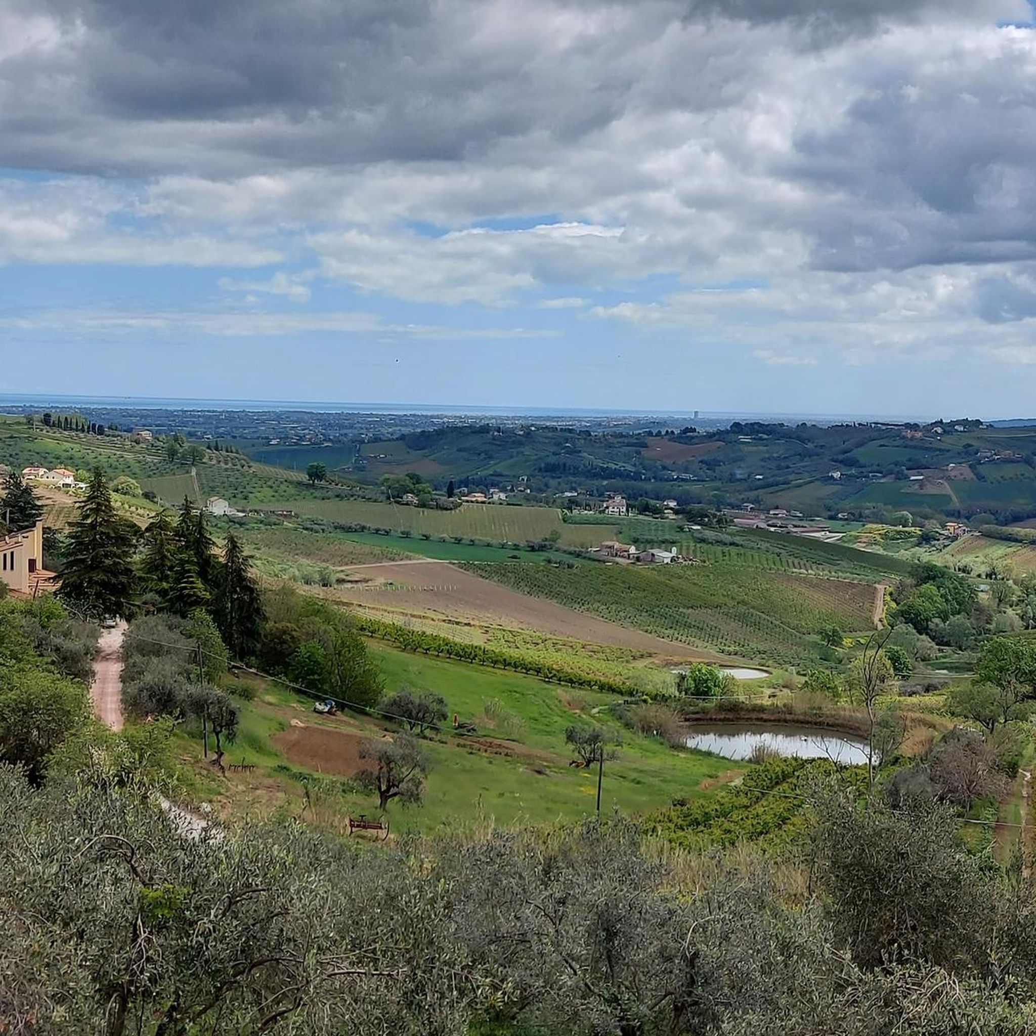
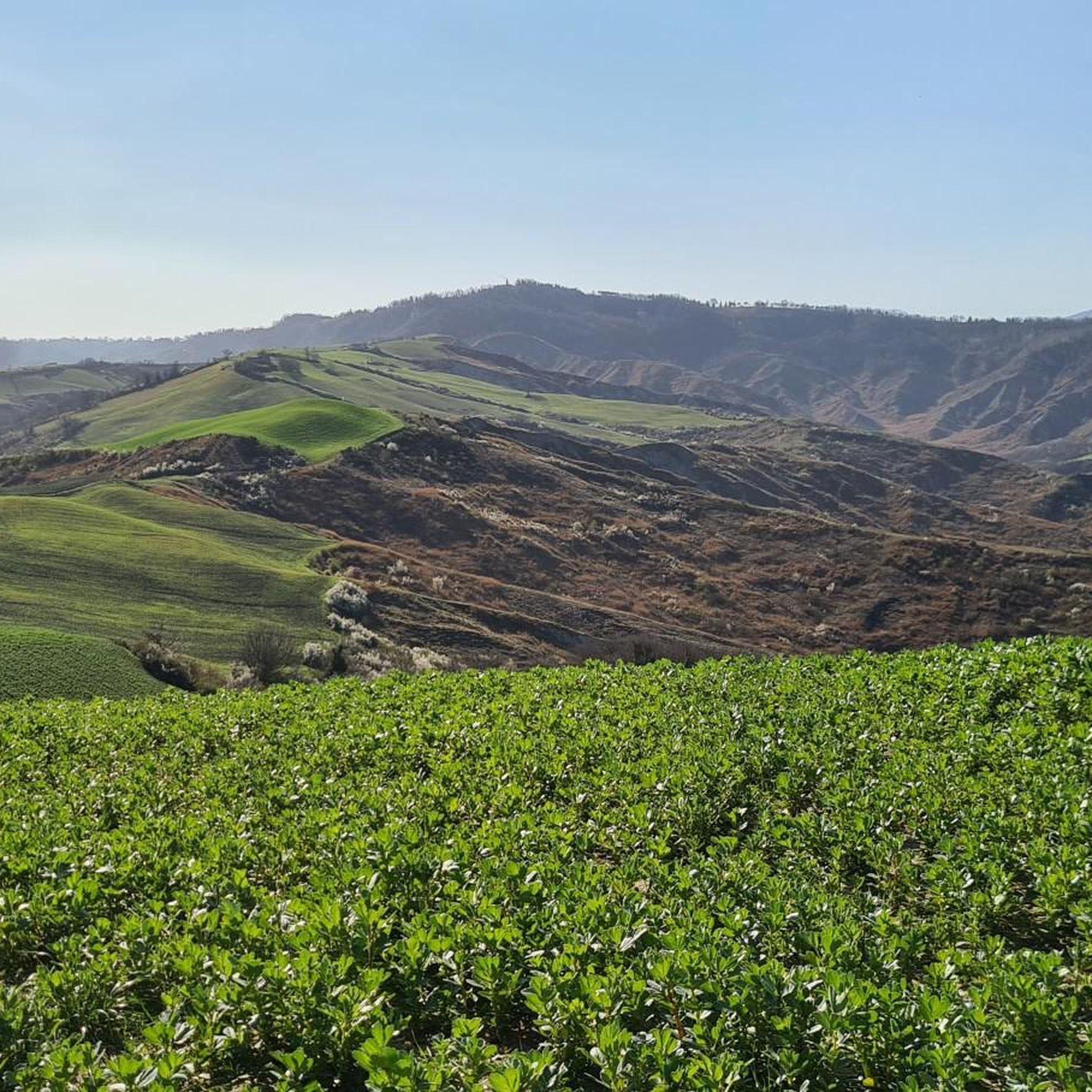
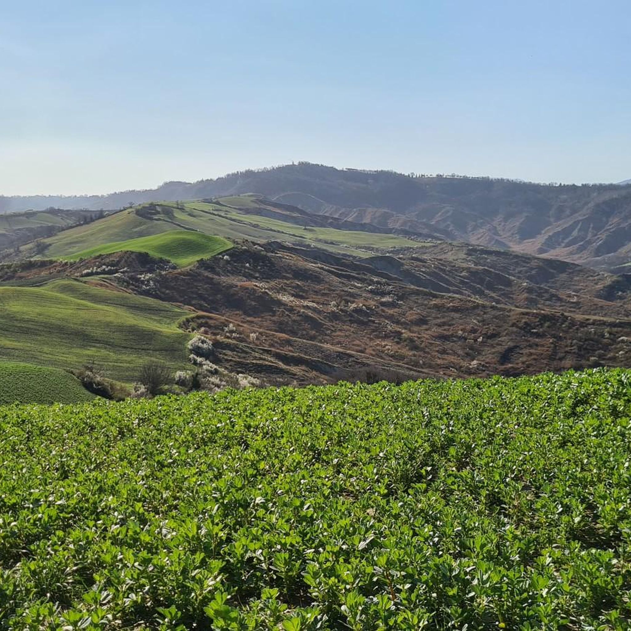
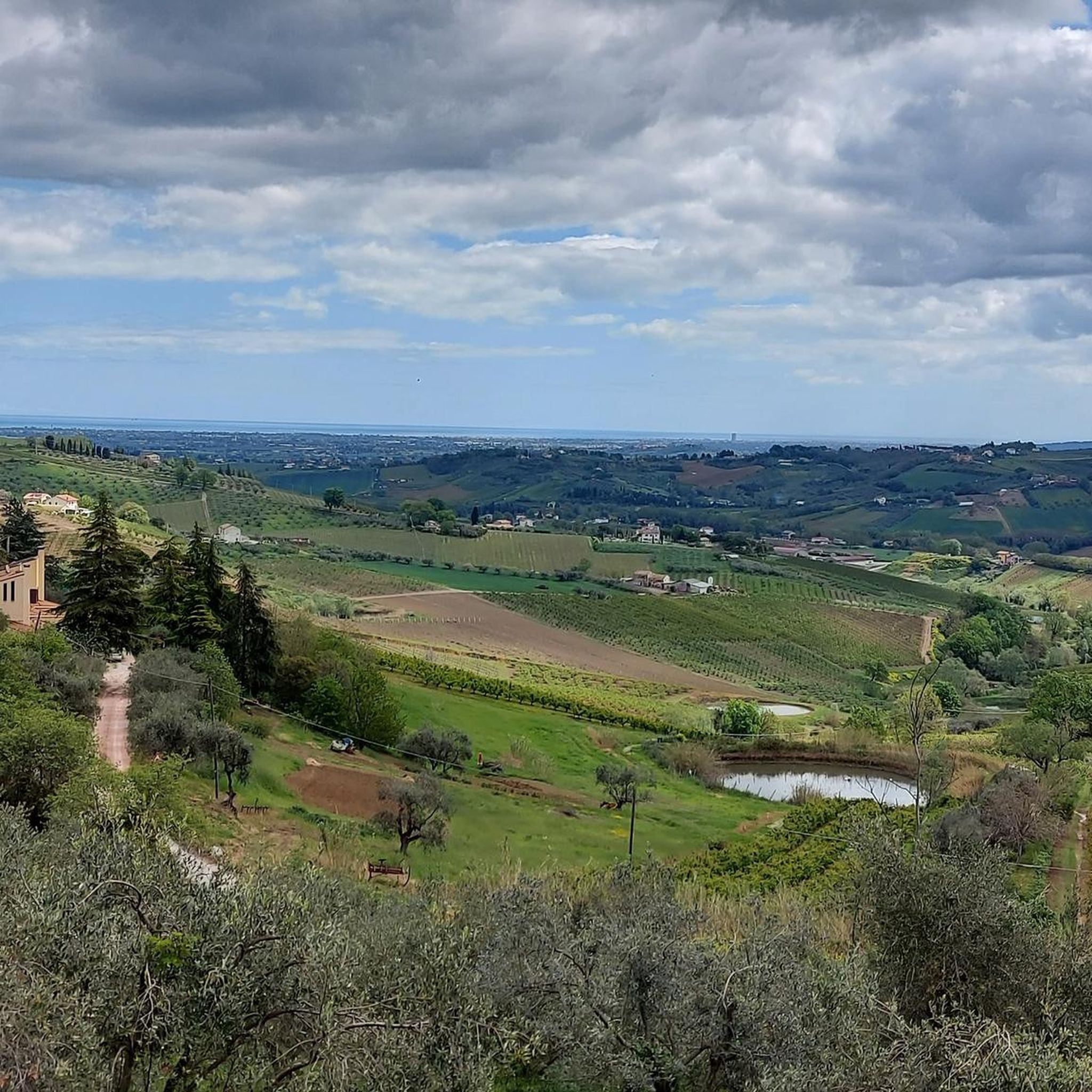
Mountain biking around Roncofreddo features a diverse landscape of magnificent hilly terrain and river valleys, offering varied elevations. The region provides panoramic views towards the Adriatic Sea from higher vantage points. Unique geological formations known as "calanchi" or badlands are present, adding distinct visual elements and varied terrain to the experience. Trails often pass through orchards and connect charming medieval towns.
Best mountain bike trails around Roncofreddo
- The most popular mountain bike trail is Roncofreddo Village Center – La Quiete…
Last updated: October 30, 2026
4.8
(4)
26
riders
25.4km
02:37
830m
830m
Moderate mountain bike ride. Good fitness required. Advanced riding skills necessary.
4.3
(4)
26
riders
38.3km
03:12
810m
810m
Moderate mountain bike ride. Good fitness required.

13
riders
37.5km
03:04
810m
810m
Moderate mountain bike ride. Good fitness required.
4.0
(1)
19
riders
14.3km
01:36
520m
530m
Hard mountain bike ride. Good fitness required. Advanced riding skills necessary. Some portions of the route may require you to push your bike.
4.5
(2)
27
riders
41.9km
02:49
670m
670m
Moderate mountain bike ride. Good fitness required.
Get access to more routes and recommendations from other explorers.
Already have an account?
Our route recommendations are based on thousands of hikes, rides, and runs completed by other people on komoot.
Start today with a free account
Your next adventure awaits.

Tips from the Community

Suggestive and symbolic. An icon of the bridge at the foot of the Cesenati hills
0
0
the historic, cultural and social center of the City
0
0

Continuing along the river bank, you reach the Natural Park which includes a vast quarry area of about 20 hectares located within a natural bend of the river that preserves its course, a unique example of a rare natural environment very close to the historic center of Cesena
0
0
A somewhat hidden village overlooking the Savio owes its curious name to the fact that it was a trading post, given its strategic position close to the only bridge that crossed the Savio between Cesena and Bagno di Romagna
1
0
Hometown of the great playwright Plautus, to whom a great festival is dedicated in the summer months; to visit the church of San Vicino, the patron saint and bishop of the city, with his remains kept along with the famous thaumaturgical chain and the National Archaeological Museum where Roman archaeological finds are preserved, such as the Mausoleum of Publius Verginius Paetus and the spectacular polychrome mosaic The Triumph of Dionysus.
0
0

Very pretty little town. It has 2 large, very characteristic bridges
1
0

A lovely spot for a quick stop overlooking the Ponte Vecchio. A water dispenser with chilled and sparkling water is nearby. A great starting point for visiting Piazza del Popolo and the center of Cesena, or for heading towards the hills from Via dei Maceri.
0
0

Frequently Asked Questions
How many mountain bike trails are available in Roncofreddo?
There are over 400 mountain bike trails around Roncofreddo. This includes 53 easy routes, 192 moderate routes, and 166 difficult routes, offering options for various skill levels.
What kind of terrain can I expect on mountain bike trails around Roncofreddo?
The terrain around Roncofreddo is diverse, featuring magnificent hilly landscapes, river valleys, and unique geological formations known as 'calanchi' or badlands. You'll encounter varied elevations, panoramic views towards the Adriatic Sea, and trails that often pass through orchards and charming medieval towns.
Are there mountain bike trails suitable for families or beginners in Roncofreddo?
Yes, Roncofreddo offers 53 easy mountain bike routes that are suitable for beginners or families looking for a less strenuous ride. These trails provide a great way to explore the region's beauty without requiring advanced technical skills.
Are there any circular mountain bike routes in Roncofreddo?
Many of the mountain bike routes in Roncofreddo are designed as loops. For example, you can explore the area on the Roncofreddo Village Center – La Quiete Trail loop or the Gorgo Scuro Trail – Monteleone Pond loop, which are popular choices among local riders.
What are some interesting places or attractions to see along the mountain bike trails?
While mountain biking, you can encounter charming medieval towns like Roncofreddo, Sorrivoli, and Monteleone. The region also features unique 'calanchi' formations, particularly visible on routes like the View from Bora Alta – Strada Bianca dei Calanchi loop. You might also pass by highlights such as Sogliano al Rubicone or the Malatesta Fortress of Verucchio.
What is the best time of year for mountain biking in Roncofreddo?
The diverse landscape and varied elevations of Roncofreddo make it suitable for mountain biking across multiple seasons. Spring and autumn generally offer pleasant temperatures and vibrant scenery, while summer can be enjoyed, especially on trails with more tree cover or during cooler parts of the day.
Is parking available near the mountain bike trails in Roncofreddo?
Yes, parking is generally available in and around the starting points of many trails, particularly in the village centers like Roncofreddo or Sorrivoli. It's advisable to check specific route descriptions for detailed parking information.
Can I reach the mountain bike trails using public transport?
While Roncofreddo is a rural area, some public transport options may connect to larger towns nearby. However, for direct access to trailheads, especially those in more remote hilly areas, personal transport is often more convenient. Check local bus schedules for connections to Roncofreddo and surrounding villages.
What do other mountain bikers say about the trails in Roncofreddo?
The mountain bike trails in Roncofreddo are highly rated by the komoot community, with an average score of 4.4 stars from over 1200 reviews. More than 7000 mountain bikers have used komoot to explore the varied terrain, often praising the diverse landscapes and the well-maintained network of paths.
Are there any challenging mountain bike routes for experienced riders?
Absolutely. Roncofreddo offers 166 difficult mountain bike routes designed for experienced riders. Trails like the Sarsina – Savio River loop from Cella feature significant elevation gains and technical sections, requiring very good fitness and advanced riding skills.
Are dogs allowed on the mountain bike trails in Roncofreddo?
Generally, dogs are welcome on many outdoor trails in the Roncofreddo region, especially if kept on a leash and under control. However, it's always recommended to check local regulations or specific trail guidelines, particularly in nature reserves or protected areas, to ensure a pleasant experience for everyone.
What is the 'Paths of the Upper Rubicon' network?
The 'Paths of the Upper Rubicon' is an extensive trail network in the region, spanning 156 km and comprising 16 looped itineraries. These trails are well-suited for mountain biking, hiking, and horseback riding, connecting various localities and offering GPX tracks for navigation.
Most popular routes around Roncofreddo
Most popular attractions around Roncofreddo

Get inspired with the komoot mobile app


Explore more
Browse the best MTB trails in other regions.
