The best running trails around Lumezzane
4.5
(174)
9,168
runners
331
runs
Jogging routes around Lumezzane are set within the picturesque Gobbia Valley, part of the larger Trompia Valley, offering diverse natural landscapes. The region is characterized by surrounding mountains such as Monte Palosso and Monte Conche, providing varied terrain with elevations ranging from 200 to over 1,000 meters. An extensive network of well-maintained CAI trails and natural features makes it a compelling destination for running.
Best jogging routes around Lumezzane
- The most popular jogging route is Palazzo Corulli loop from Cogozzo…
Last updated: August 3, 2026
23
runners
11.7km
01:53
760m
760m
Hard run. Very good fitness required. Sure-footedness, sturdy shoes and alpine experience required.
13
runners
14.4km
02:00
680m
680m
Hard run. Very good fitness required. Sure-footedness, sturdy shoes and alpine experience required.

Sign up for free
11
runners
19.0km
02:48
860m
860m
Hard run. Very good fitness required. Sure-footedness, sturdy shoes and alpine experience required.
10
runners
12.7km
01:58
650m
650m
Hard run. Very good fitness required. Sure-footedness, sturdy shoes and alpine experience required.
14
runners
34.8km
03:40
400m
400m
Hard run. Very good fitness required. Mostly paved surfaces. Suitable for all skill levels.
Get access to more routes and recommendations from other explorers.
Sign up for free
Already have an account?
Our route recommendations are based on thousands of hikes, rides, and runs completed by other people on komoot.
Start today with a free account
Your next adventure awaits.
Login or Signup

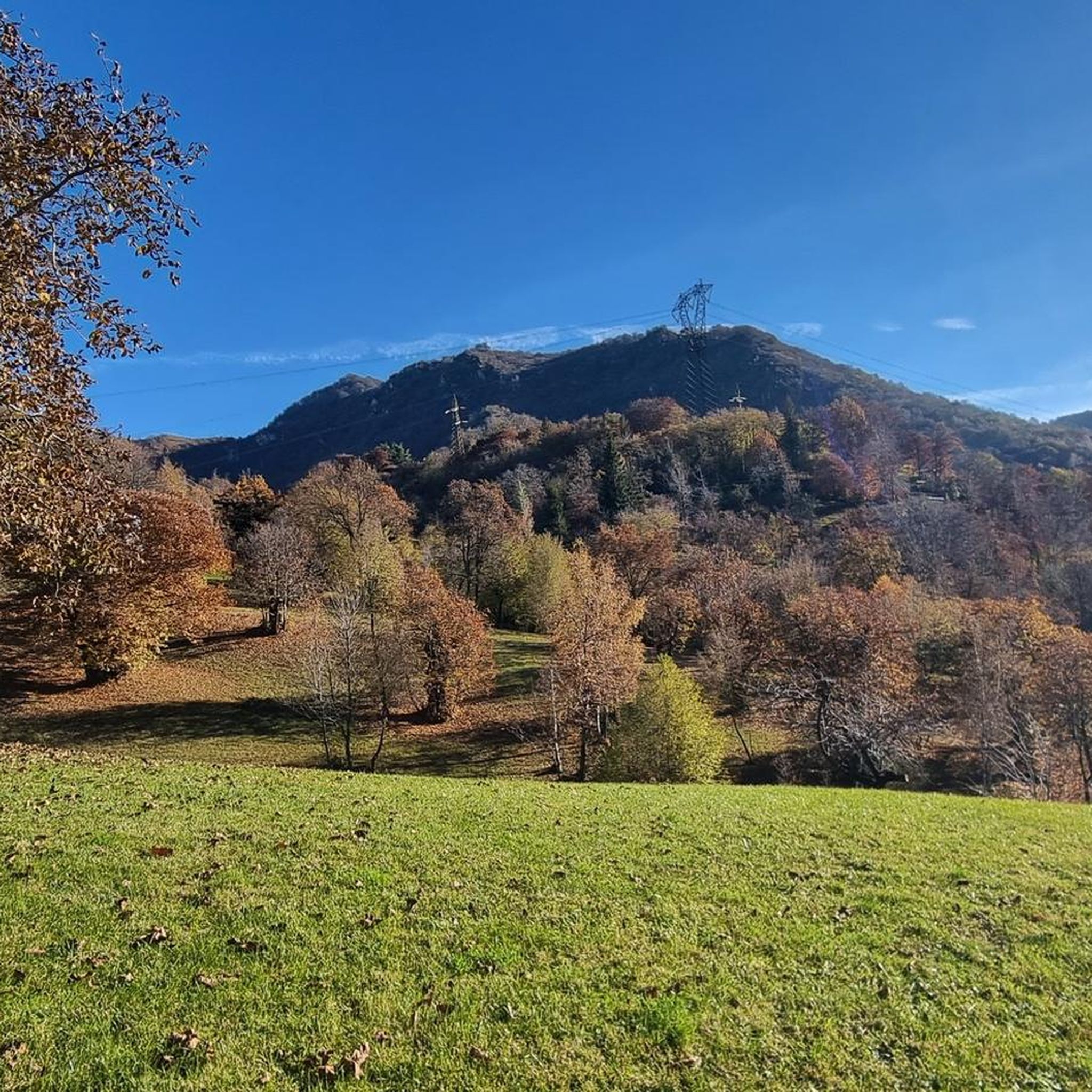
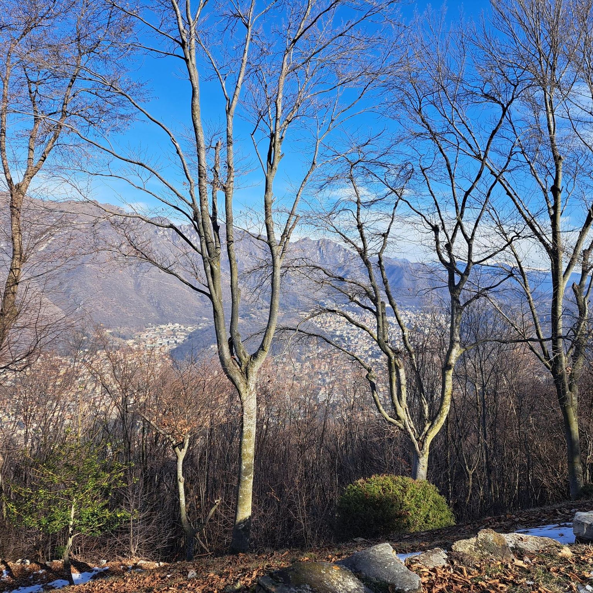
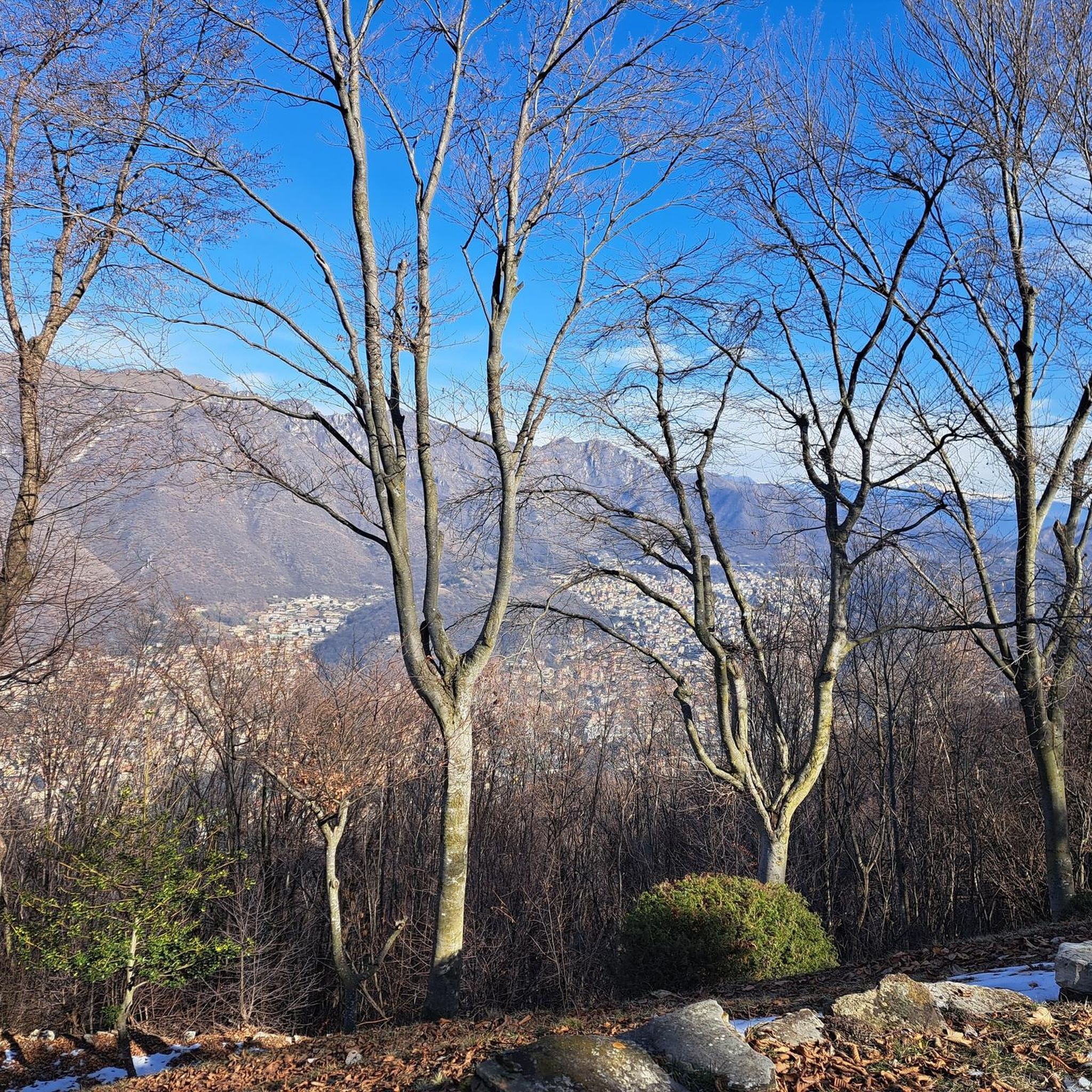
Other adventures around Lumezzane

Tips from the Community

beautiful to hear you do it in both directions with the help of poles for the less experienced
0
0

much better if done the other way around
0
0

ideal for spending a day in the countryside. For families or just to relax for a few hours. Throughout the summer, our Alpine friends will pamper you with a good lunch or even a simple beer
1
0

Between Sarezzo and Cogozzo, this stone bridge over the Mella River (along which you can see storks, herons and other types of birds) allows you to enjoy a glimpse of one of the most famous rivers in Lombardy. It flows into the Oglio in the municipality of Seniga.
0
0

Beautiful green lawns where there are games for children
0
0

A classic climb of the middle Valle Trompia, a balcony overlooking the lower valley where in summer it is also possible to eat thanks to the volunteers of the Gam of Sant Emiliano
0
0

Great place for picnic. However, there are few tables and there is no area equipped for BBQ.
0
0

Piani di Lo is a pleasant location with lawns, picnic areas and a waterhole. It's wonderful to be able to enjoy nature and spend time outdoors in places like this.
2
0
Frequently Asked Questions
How many running routes are available around Lumezzane?
Lumezzane offers a wide selection of running routes, with over 300 trails available for exploration. These routes cater to various fitness levels, from easy paths to more challenging ascents through the mountainous terrain of the Gobbia and Trompia Valleys.
Are there running trails suitable for beginners or those looking for an easy jog?
Yes, Lumezzane has options for all levels. There are 14 easy running trails, perfect for beginners or those seeking a relaxed jog. These routes often feature gentle elevation changes, allowing for a comfortable experience amidst the scenic landscape.
What kind of terrain can I expect on the jogging routes in Lumezzane?
The terrain around Lumezzane is quite varied, reflecting its mountainous setting. You'll find a mix of well-maintained CAI trails, compact dirt sections, and potentially some paved or gravel paths. The region's topography, with mountains like Monte Palosso and Monte Conche, means routes can range from relatively flat valley paths to significant ascents.
Are there any family-friendly running paths in Lumezzane?
While specific stroller-friendly routes are not detailed, many of the easier trails with low elevation gain could be suitable for families. The Colle di San Bernardo, Lumezzane's largest park, offers a scenic and accessible environment ideal for outdoor recreation, including light jogging, which families might enjoy.
Can I bring my dog on the running trails in Lumezzane?
Many outdoor trails in Italy, including those in natural areas like Lumezzane, are generally dog-friendly, especially if dogs are kept on a leash. It's always advisable to check local signage at trailheads for specific regulations regarding pets, particularly in protected areas or during certain seasons.
Are there any circular running routes in the Lumezzane area?
Yes, Lumezzane offers several excellent circular running routes. A popular choice is the Palazzo Corulli loop from Cogozzo, which is 7.3 km long and features gentle elevation changes. Another option is the Acquedotto Romano loop from Cogozzo, a moderate 13.9 km path following historical aqueduct routes.
What are some notable landmarks or natural features I might see while running in Lumezzane?
Lumezzane's routes offer diverse sights. You might encounter historical aqueduct paths, charming churches like the one at San Bernardo, and stunning mountain views. The CAI Trail no. 367 to San Bernardo, for instance, leads through scenic spots and culminates at a church overlooking a meadow with centuries-old chestnut trees. For more natural beauty, consider exploring areas near the Pisot Waterfall or the gorges of Valle di Inzino.
Where can I find parking for the running routes in Lumezzane?
Parking availability varies by trailhead. For routes starting from villages like Cogozzo or Sarezzo, you can typically find public parking areas within the village. For trails leading into more remote mountain areas, look for designated parking spots near the official trailheads. Specific parking information is often available on individual route pages or local tourism websites.
Is public transport available to reach the trailheads around Lumezzane?
Lumezzane and its surrounding villages are generally served by local bus services, which can connect you to various starting points for running routes. For detailed schedules and routes, it's best to consult the local public transport authority's website or inquire at a local tourist information office in Lumezzane or the wider Val Trompia region.
What is the best season for running in Lumezzane?
The diverse terrain of Lumezzane makes it suitable for running across multiple seasons. Spring and autumn offer pleasant temperatures and vibrant natural scenery, with wildflowers in spring and colorful foliage in autumn. Summer is also popular, especially for higher altitude trails where temperatures are cooler. Winter running is possible, but higher mountain trails may be affected by snow and ice, requiring appropriate gear.
Are there any routes with low elevation gain for a flatter running experience?
Yes, some routes in Lumezzane offer relatively low elevation gain. For example, the Palazzo Corulli loop from Cogozzo has an elevation gain of only 43 meters over 7.3 km, making it a good option for a flatter run. The Acquedotto Romano loop from Villa Carcina also features a modest 61 meters of elevation gain over 10.7 km.
What do other runners enjoy most about jogging in Lumezzane?
The running routes in Lumezzane are highly rated by the komoot community, with an average score of 4.6 stars from over 120 reviews. Runners often praise the diverse natural landscapes, the extensive network of well-maintained CAI trails, and the varied terrain that offers both challenging ascents and more relaxed paths through scenic valleys.
Are there cafes or restaurants near the running trails in Lumezzane?
Lumezzane and its surrounding villages, such as Cogozzo, Sarezzo, and Villa Carcina, offer various cafes, bars, and restaurants where you can refuel before or after your run. Many trailheads are accessible from these towns, providing convenient options for refreshments and meals. For specific recommendations, exploring the local village centers is a good starting point.
Most popular attractions around Lumezzane

Get inspired with the komoot mobile app


Explore more
Browse the best Running Trails & Routes in other regions.
