The best walks and hikes around Preganziol
4.4
(1217)
10,771
hikers
453
hikes
Hiking around Preganziol offers diverse outdoor experiences, primarily characterized by its flat terrain and the presence of the Sile River. The region features gentle riverside paths, historical routes built on former railway lines, and lush vegetation. These natural and historical elements provide varied landscapes suitable for walking, with minimal elevation changes. The area's environment caters to various interests, from serene natural settings to routes with historical significance.
Best hiking trails around Preganziol
- The most popular hiking route is Water source…
Last updated: November 4, 2026
22
hikers
10.7km
02:43
20m
20m
Moderate hike. Good fitness required. Easily walkable paths.
14
hikers
6.53km
01:39
10m
10m
Easy hike. Easily walkable paths.

5.0
(4)
10
hikers
7.74km
01:57
10m
10m
Easy hike. Easily walkable paths.
5.0
(1)
15
hikers
6.77km
01:44
20m
20m
Easy hike. Easily walkable paths.
7
hikers
Easy hike. Easily walkable paths.
Get access to more routes and recommendations from other explorers.
Already have an account?
Our route recommendations are based on thousands of hikes, rides, and runs completed by other people on komoot.
Start today with a free account
Your next adventure awaits.


Tips from the Community

Il Canale dei Buranelli, una delle ramificazioni del fiume Botteniga che attraversa il centro storico di Treviso, rappresenta uno degli scorci più romantici e pittorici della città. Il suo nome deriva dai commercianti provenienti dall'isola veneziana di Burano, che a partire dal Cinquecento stabilirono qui le proprie dimore e attività legate alla pesca e al commercio. Caratterizzato da eleganti palazzi affrescati che si riflettono direttamente sulle sue acque calde e trasparenti, il canale conserva intatta l'atmosfera della Treviso urbs picta. Lungo le sue rive si snodano portici e passerelle in pietra da cui ammirare gli antichi mulini d'acqua e la vegetazione fluviale. Oggi l'area è il cuore pulsante della vita cittadina, costellata di tradizionali osterie e vicoli suggestivi dove storia, natura e tradizione enogastronomica veneta s'incontrano armonicamente.
1
0

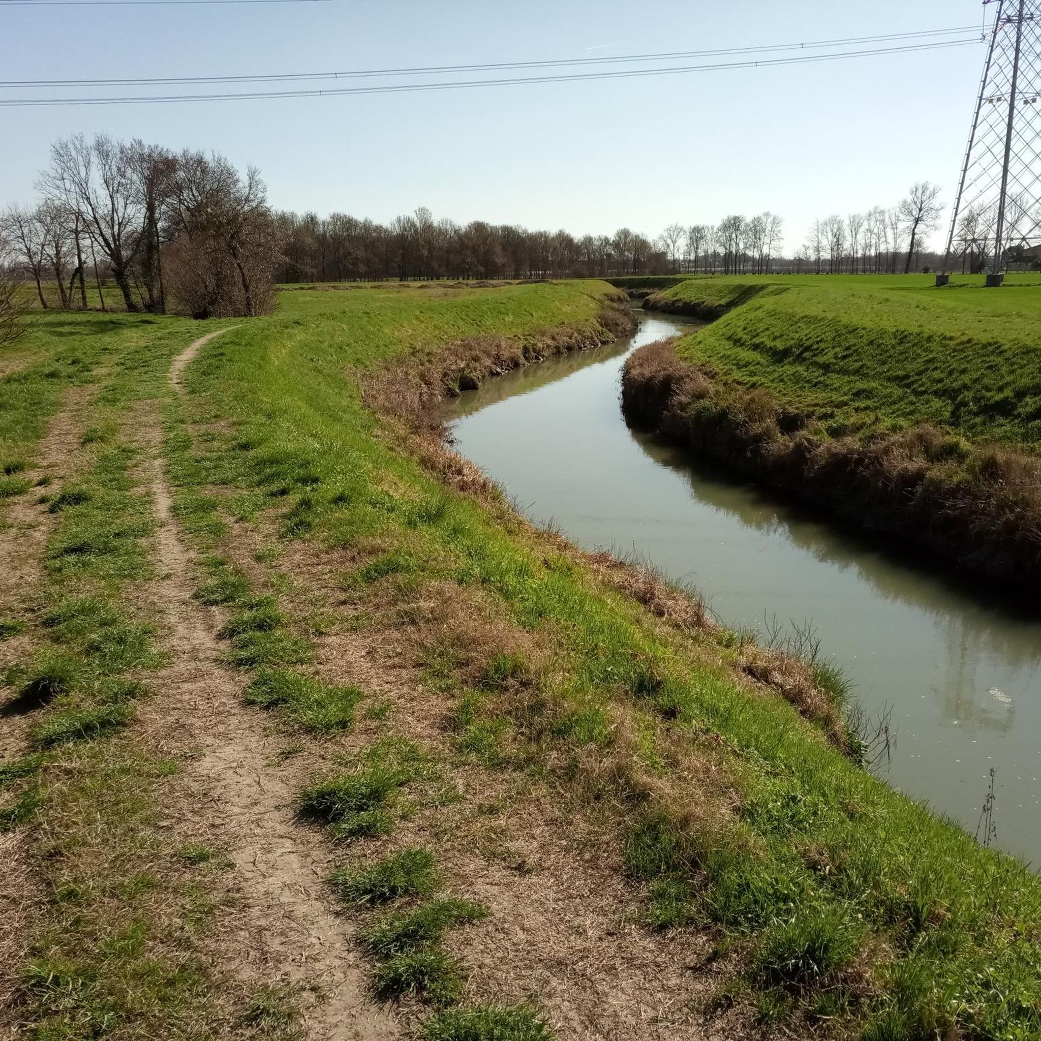
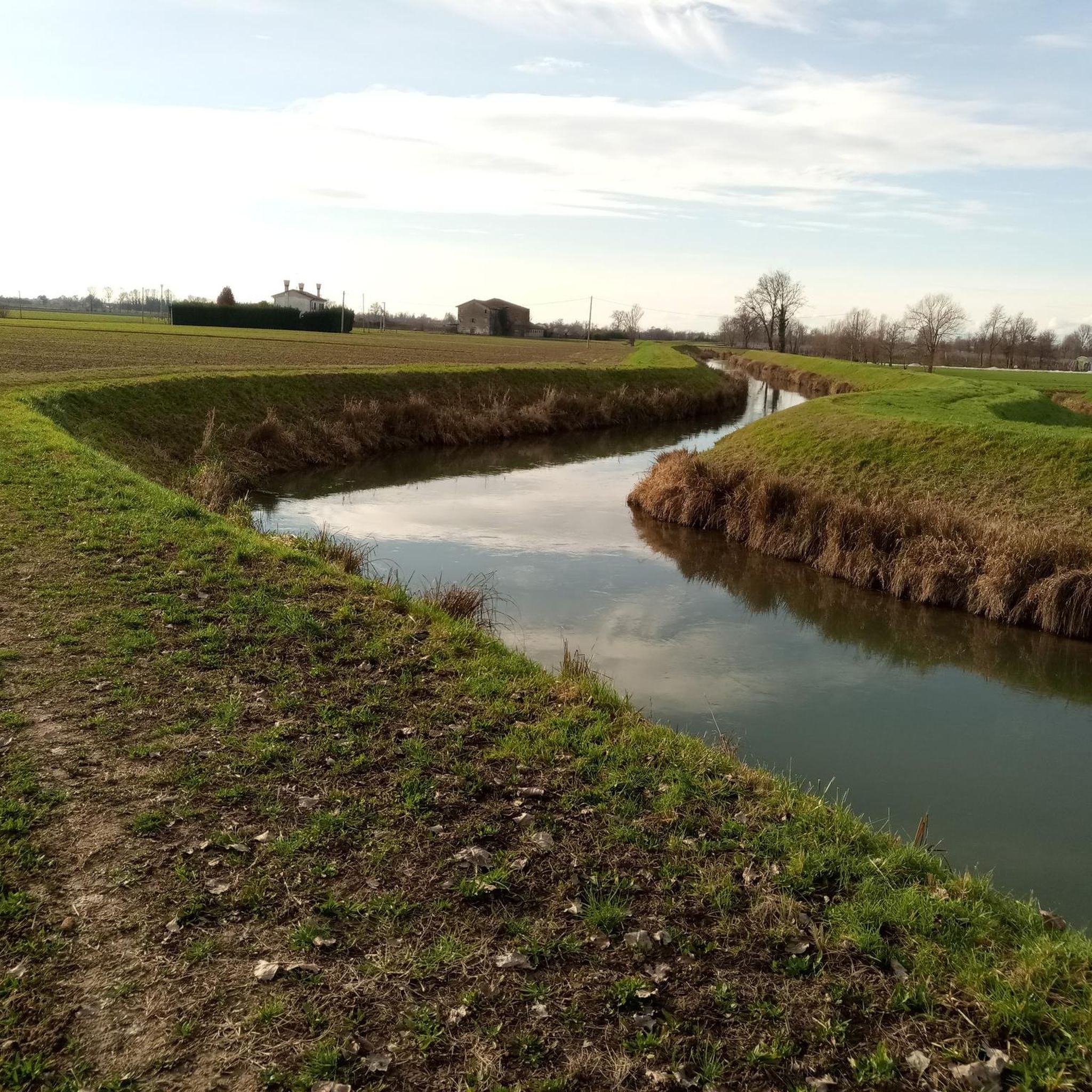
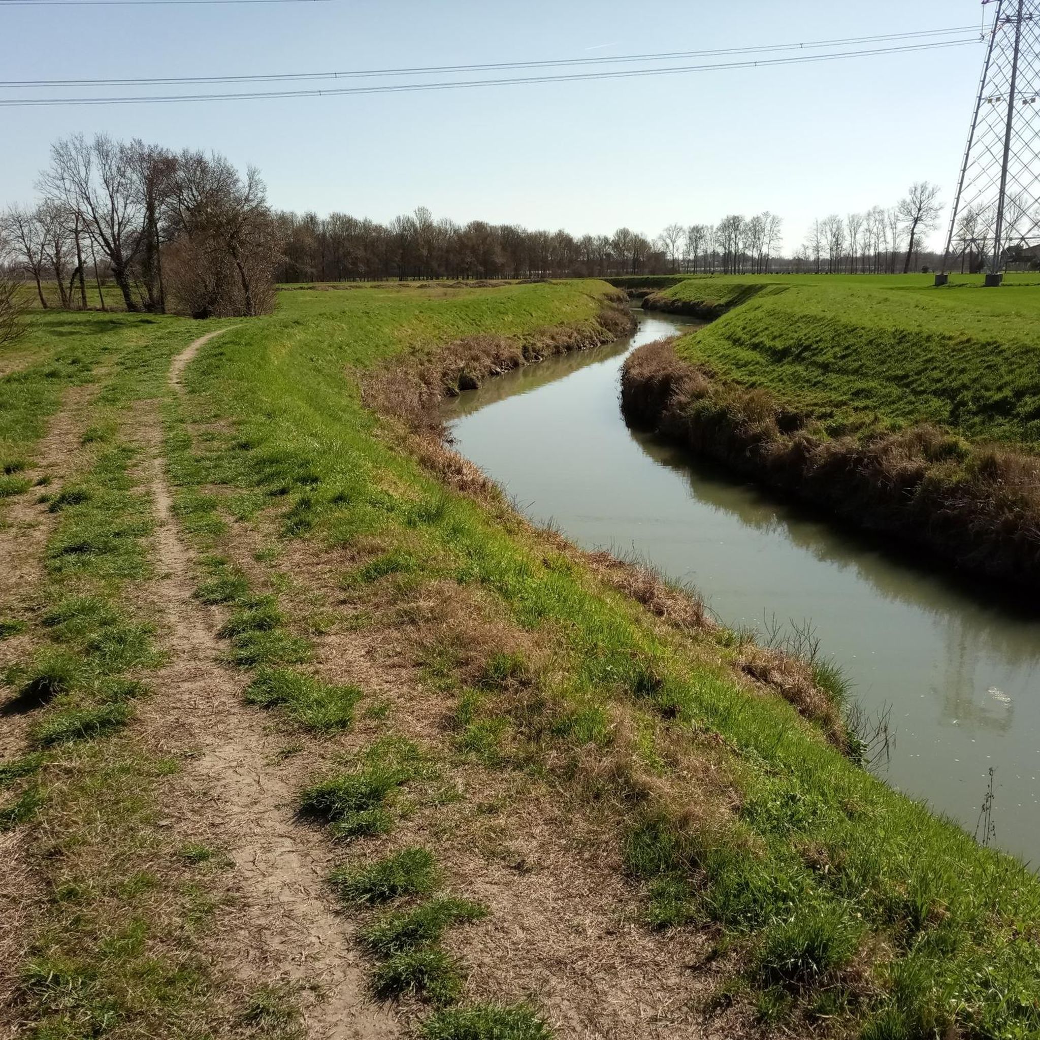
A singletrack trail along the right bank of the Sile with beautiful views of the Sile.
0
0
Along the right bank of the Sile river, a single-trail leads directly along the bank up to the church.
0
0

One of many beautiful small bridges
1
0
Worth seeing, water and buildings.
1
0


Church of San Michele Arcangelo
0
0
In Piazza Pio X in Casier, water and time merge in a unique sculptural work: the fountain with the hydromechanical clock, designed by master watchmaker Alberto Gorla. This fascinating installation combines the ancient tradition of mechanics with the fluidity of the natural element, celebrating the deep bond between the municipality of Treviso and the Sile river. The clock's operation is entirely regulated by the motive force of the water flowing from the spring. The flow precisely drives wheels, gears, and rockers, moving the hands on the dial and marking time in an ecological and evocative way. Having become one of Casier's modern symbols, the fountain is not just an element of urban decor, but an attraction that enchants passers-by and visitors with its hypnotic and relaxing combination of human ingenuity and nature.
0
0
Frequently Asked Questions
What kind of terrain can I expect on hiking trails around Preganziol?
Hiking around Preganziol is characterized by its largely flat terrain, making it accessible for many. You'll find pleasant paths along numerous watercourses, including tributaries of the Sile River, as well as routes built on former railway lines like the Cycle Path of the Former Treviso-Ostiglia Railway. The landscape features open countryside and vineyards, offering tranquil strolls with minimal elevation changes.
Are there any easy, family-friendly hikes in Preganziol?
Yes, Preganziol offers many easy routes suitable for families. For instance, the Villa Guidini – Zero Branco Town Center loop from Sambughè is an easy 6.5 km trail that can be completed in about 1 hour 38 minutes. Another great option is the Piazza dei Signori – Fish Market Island loop from Dosson, an easy 6.9 km route.
What natural features or landmarks can I see along the trails?
The region is rich in natural and historical sights. You can explore the Sile River and its tributaries, discover the unique Burci Boat Cemetery with its traditional wooden boats, or admire the picturesque Cervara Bridge on the Sile River. Many routes also pass through charming open countryside and vineyards.
Are there any circular hiking routes available?
Yes, many of the trails around Preganziol are circular, offering convenient starting and ending points. Popular circular routes include the Water source with clock – Villa Toso loop from Dosson, a moderate 10.7 km trail, and the Riverside Path along the Sile – Church of Sant'Angelo loop from Treviso, which is 8.9 km long.
Can I hike with my dog in Preganziol?
Many of the paths through the open countryside, along the rivers, and on the former railway lines are suitable for walking with dogs, provided they are kept under control. The flat terrain and natural surroundings offer a pleasant experience for both you and your canine companion. Always ensure to follow local regulations regarding leashes and waste disposal.
What is the best time of year to go hiking in Preganziol?
Preganziol offers pleasant hiking conditions for much of the year. Spring and autumn are particularly ideal, with mild temperatures and beautiful scenery as the countryside blooms or changes color. Summer can be warm, but riverside paths offer some shade. Winter hikes are also possible, especially on the flat, well-maintained paths, though some areas might be damp after rain.
How many hiking trails are there in Preganziol?
There are over 400 hiking routes available around Preganziol, catering to various preferences and fitness levels. This includes more than 270 easy trails and 150 moderate options, ensuring there's always a new path to explore.
Are there any routes that follow the Sile River?
Absolutely. The Sile River is a central feature of the region's outdoor activities. You'll find numerous routes that trace its gentle course, such as the Riverside Path along the Sile – Church of Sant'Angelo loop from Treviso. The Cycle path along the Sile River at Casale sul Sile also offers beautiful walking opportunities.
What do other hikers say about the trails in Preganziol?
The hiking trails in Preganziol are highly regarded by the komoot community, with an average rating of 4.4 stars from over 900 reviews. Hikers often praise the tranquil natural settings, the well-maintained paths, and the opportunity to discover historical and natural landmarks along the way.
Are there any longer, more challenging hikes near Preganziol?
While Preganziol itself is largely flat, its strategic location in the Province of Treviso provides access to more challenging and scenic hiking. The nearby Prealps, particularly the Monte Grappa area, offer trails with stunning views and greater elevation changes. The Prosecco wine region also features rolling hills and vineyards for more varied terrain.
Is public transport available to access hiking trailheads?
Preganziol is well-connected within the Treviso province. While specific public transport links directly to every trailhead might vary, local bus services often connect the main towns and villages, from which many trails are accessible. It's advisable to check local bus schedules for the most up-to-date information on reaching specific starting points.
Are there any trails that pass through vineyards or offer wine-tasting opportunities?
Yes, Preganziol's landscape includes open countryside and vineyards. While Preganziol itself is not in the heart of the Prosecco region, its proximity means you can easily access areas like the Prosecco Hills, a UNESCO World Heritage site. Here, you'll find routes like the 'Sentiero del Vino' (Wine Trail) that connect wineries, allowing you to combine hiking with local wine tasting experiences.
Most popular routes around Preganziol
Most popular attractions around Preganziol

Get inspired with the komoot mobile app


Explore more
Browse the best Hikes in other regions.
