The best walks and hikes around Controguerra
4.3
(231)
3,552
hikers
137
hikes
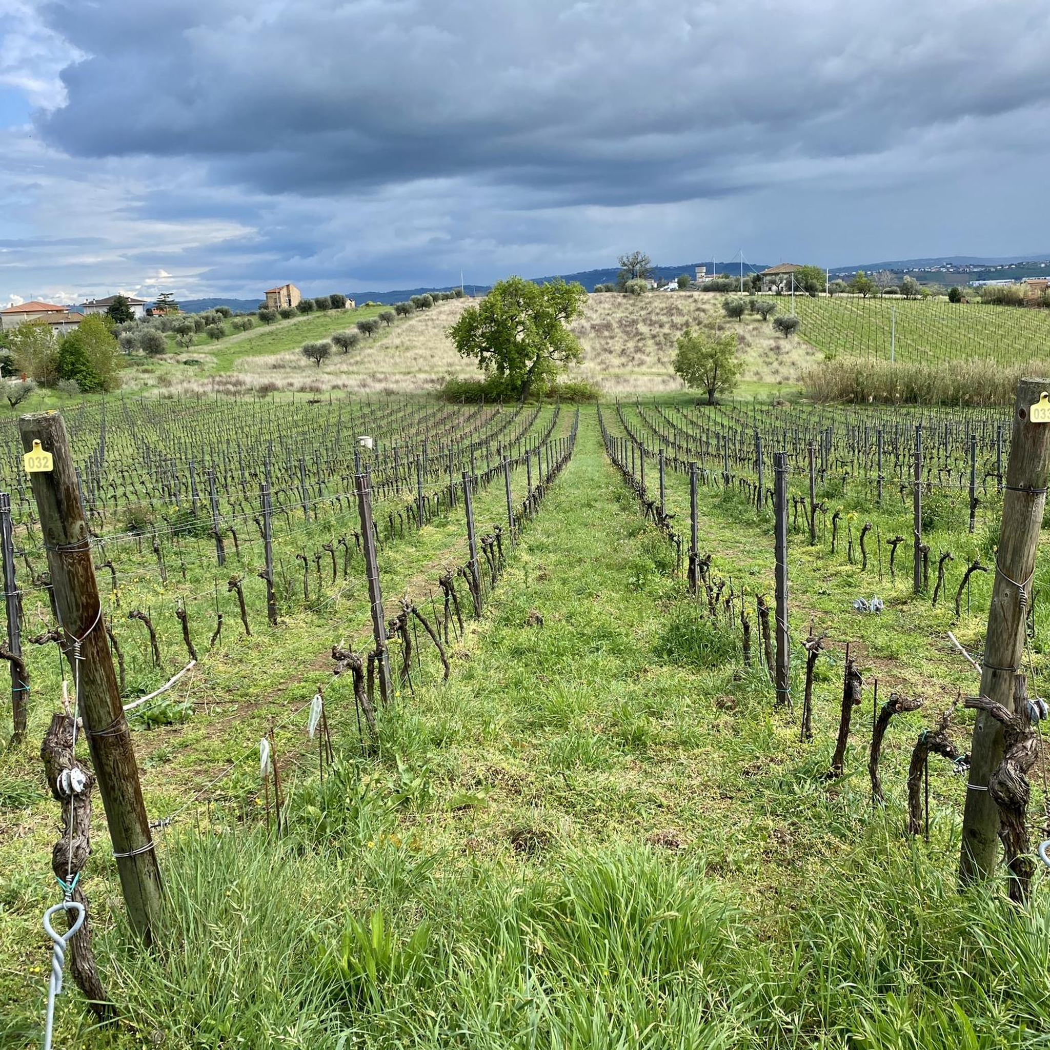
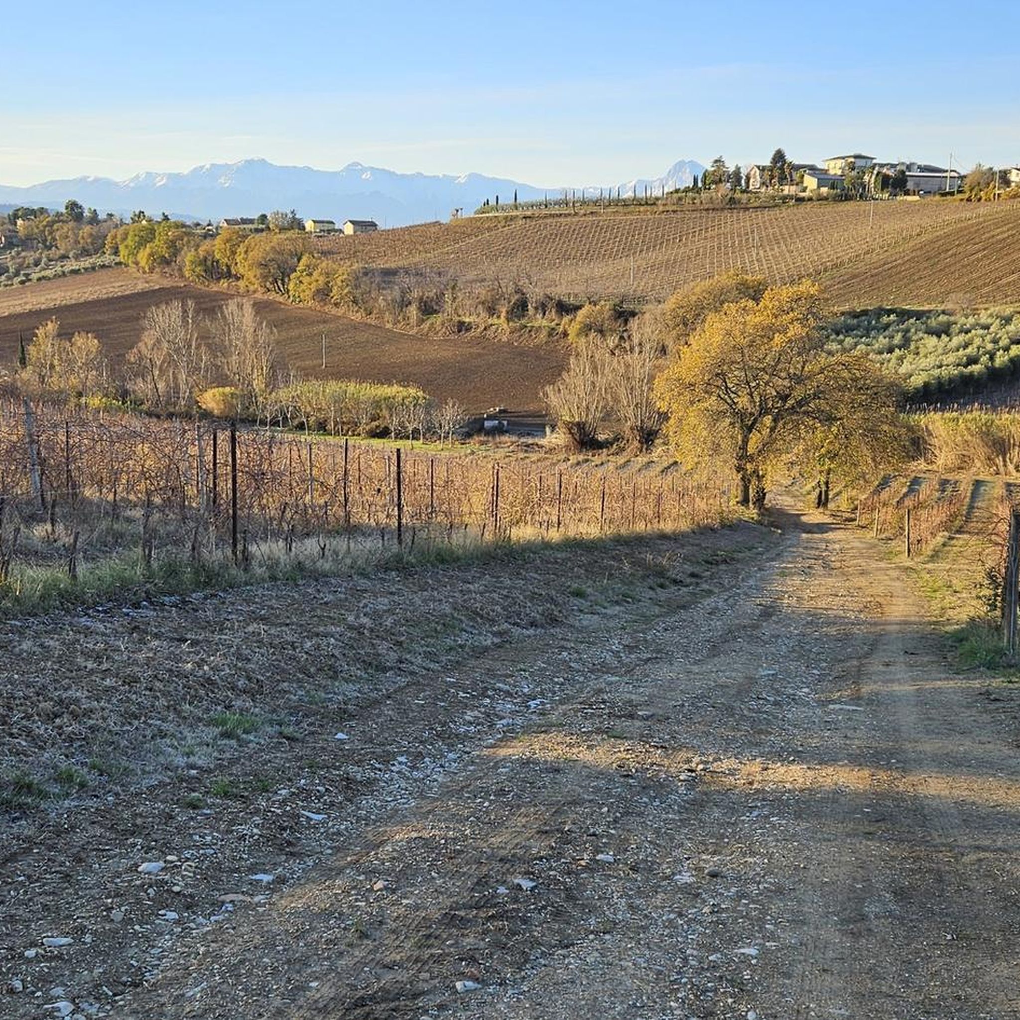
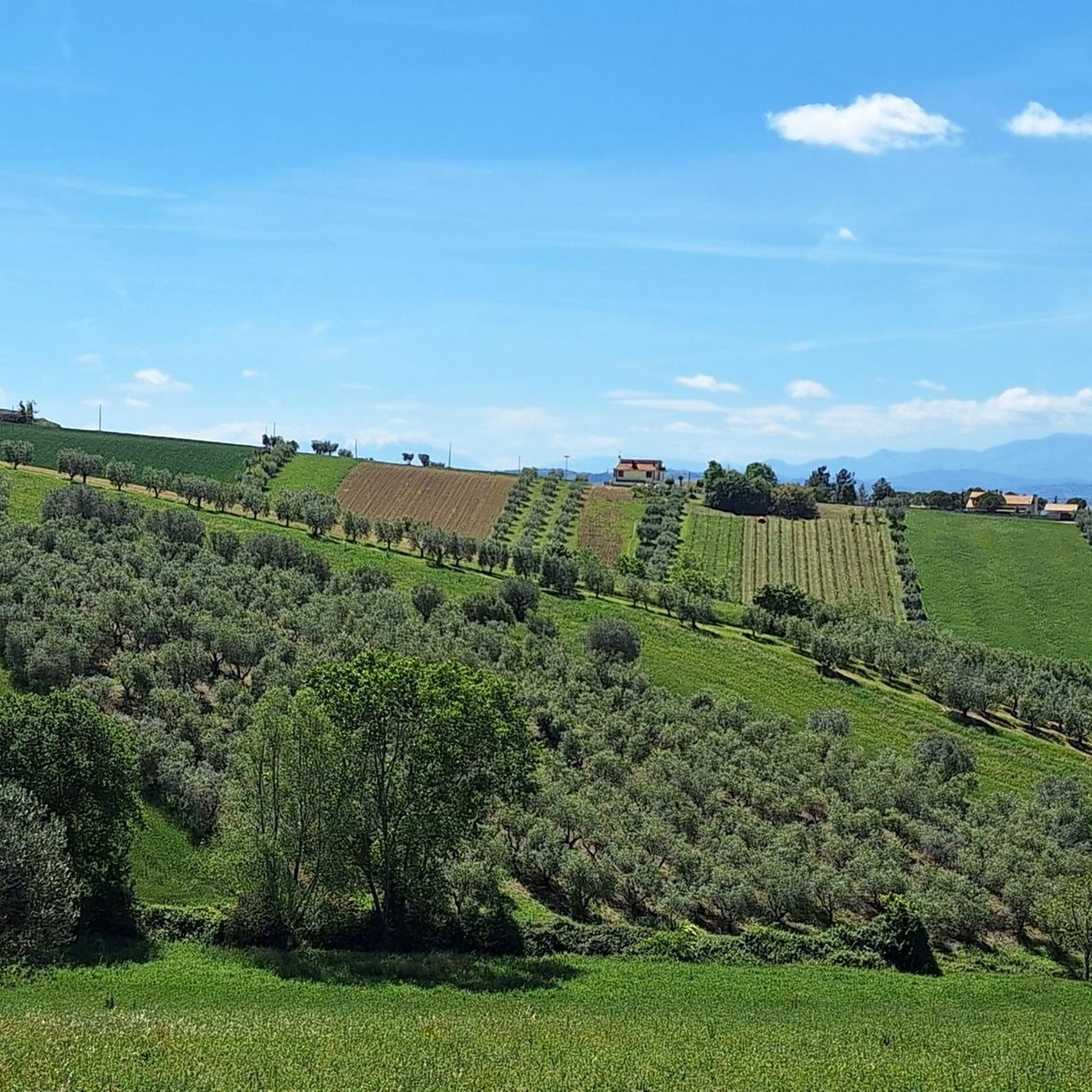
Hiking around Controguerra offers a diverse landscape characterized by gentle hills, forested paths, and routes around local lakes. The region features varied terrain, from established forest trails to paths exploring historical centers and natural oases. Elevation gains are generally moderate, making many routes accessible for different fitness levels.
Best hiking trails around Controguerra
- The most popular hiking route is Forest Path loop from San Giuseppe, a 2.9 miles (4.7 km) trail that takes 1 hour 21 minutes to complete,…
Last updated: October 11, 2026
4.0
(2)
7
hikers
4.78km
01:22
110m
110m
Easy hike. Great for any fitness level. Easily-accessible paths. Suitable for all skill levels.
3.0
(1)
16
hikers
7.26km
01:51
20m
20m
Easy hike. Great for any fitness level. Easily-accessible paths. Suitable for all skill levels.

3.0
(2)
6
hikers
6.38km
01:37
10m
10m
Easy hike. Great for any fitness level. Easily-accessible paths. Suitable for all skill levels.
2
hikers
5.85km
01:38
110m
120m
Easy hike. Great for any fitness level. Easily-accessible paths. Suitable for all skill levels.
4.0
(1)
6
hikers
5.62km
01:41
180m
180m
Easy hike. Great for any fitness level. Easily-accessible paths. Suitable for all skill levels.
Get access to more routes and recommendations from other explorers.
Already have an account?
Our route recommendations are based on thousands of hikes, rides, and runs completed by other people on komoot.
Start today with a free account
Your next adventure awaits.
Tips from the Community

From this point the view extends from the Adriatic Sea to the Gran Sasso chain and the Laga Mountains. Amazing view!
0
0

The main street leads to the stairway that goes up to the village, here we find some historic villas, mostly abandoned. After stopping in front of the fountain, you go up in a spiral: Palazzo Pardi, dating back to the 18th century, is hidden behind the first bend, then you pass the staircase and after two more hairpin bends you reach the top. In the village, each panoramic point is characterized by a marble parapet. Near the cistern, at the highest point of the town, there is a terrace where you can stop to admire the coast on the border between Marche and Abruzzo.
0
0

Thirsty from the climb. Stopped off at the cafe by the steps to the church.
0
0

Very beautiful old town with a magnificent view over Abruzzo to Gran Sasso. The climb is definitely worth it.
0
0
Frequently Asked Questions
How many hiking trails are available around Controguerra?
Controguerra offers a wide variety of hiking options, with over 100 trails to explore. These include 64 easy routes, 40 moderate paths, and 4 more challenging hikes, catering to different fitness levels.
Are there easy hiking trails suitable for beginners or families in Controguerra?
Yes, Controguerra has many easy trails perfect for beginners and families. For example, the Lago di Oz loop from Stella is an easy 4.5-mile (7.2 km) path offering pleasant lake views. Another great option is the Lago di Oz – Oasi La Valle loop from Pagliare, a 4.0-mile (6.4 km) trail that takes you through lake scenery and a natural oasis.
What kind of terrain can I expect on hikes around Controguerra?
The region around Controguerra is characterized by diverse terrain, including gentle hills, forested paths, and routes that wind around local lakes. You'll find a mix of established forest trails and paths exploring historical centers and natural oases. Elevation gains are generally moderate, making most routes accessible.
Are there any longer hiking routes for experienced hikers in Controguerra?
While many trails are easy to moderate, there are options for longer hikes. The Hiking loop from Corropoli is a moderate 5.3-mile (8.5 km) route that provides a good workout and takes you through varied landscapes.
Are there circular walks available in Controguerra?
Yes, many of the trails in Controguerra are circular, offering convenient starting and ending points. Popular circular routes include the Forest Path loop from San Giuseppe, which is 2.9 miles (4.7 km) and winds through local woodlands, and the scenic Lago di Oz loop from Stella.
What are some interesting places or attractions to see near the hiking trails?
Beyond the trails, you can explore several interesting attractions. Consider visiting the Controguerra — Village and Vineyards for a taste of local culture, or the historic Acquaviva Picena Fortress. For nature lovers, the Sentina Regional Nature Reserve offers a unique natural environment.
What do other hikers say about the trails in Controguerra?
The hiking routes in Controguerra are highly regarded by the komoot community, holding an average rating of 4.1 stars from over 190 reviews. Hikers often praise the diverse landscapes, from tranquil forested paths to scenic lake circuits, and the well-maintained trails suitable for various skill levels.
Are there any historical routes or trails that pass through villages?
Yes, you can find trails that combine natural beauty with historical exploration. The Historic Center of Colonnella – Palazzo Pardi loop from Colonnella is an easy 3.7-mile (6 km) route that takes you through a historical center, offering a glimpse into the region's past.
What is the best time of year to go hiking in Controguerra?
Controguerra's mild climate makes it suitable for hiking for much of the year. Spring and autumn offer pleasant temperatures and vibrant scenery, ideal for exploring the gentle hills and forested paths. Even in winter, many routes remain accessible, though conditions can vary.
Are the trails around Controguerra suitable for dog walking?
Many of the trails in Controguerra, particularly those through woodlands and open countryside, are generally suitable for dogs. It's always recommended to keep dogs on a leash, especially in nature reserves or near livestock, and to check local regulations for specific areas.
Are there any trails that feature lakes or water bodies?
Yes, the region is known for its routes around local lakes. The Lago di Oz loop from Stella and the Lago di Oz – Oasi La Valle loop from Pagliare both offer beautiful lake scenery and opportunities to enjoy the natural oases.
Most popular routes around Controguerra
Most popular attractions around Controguerra

Get inspired with the komoot mobile app


Explore more
Browse the best Hikes in other regions.
