The best walks and hikes around Germagnano
4.4
(2314)
9,712
hikers
366
hikes
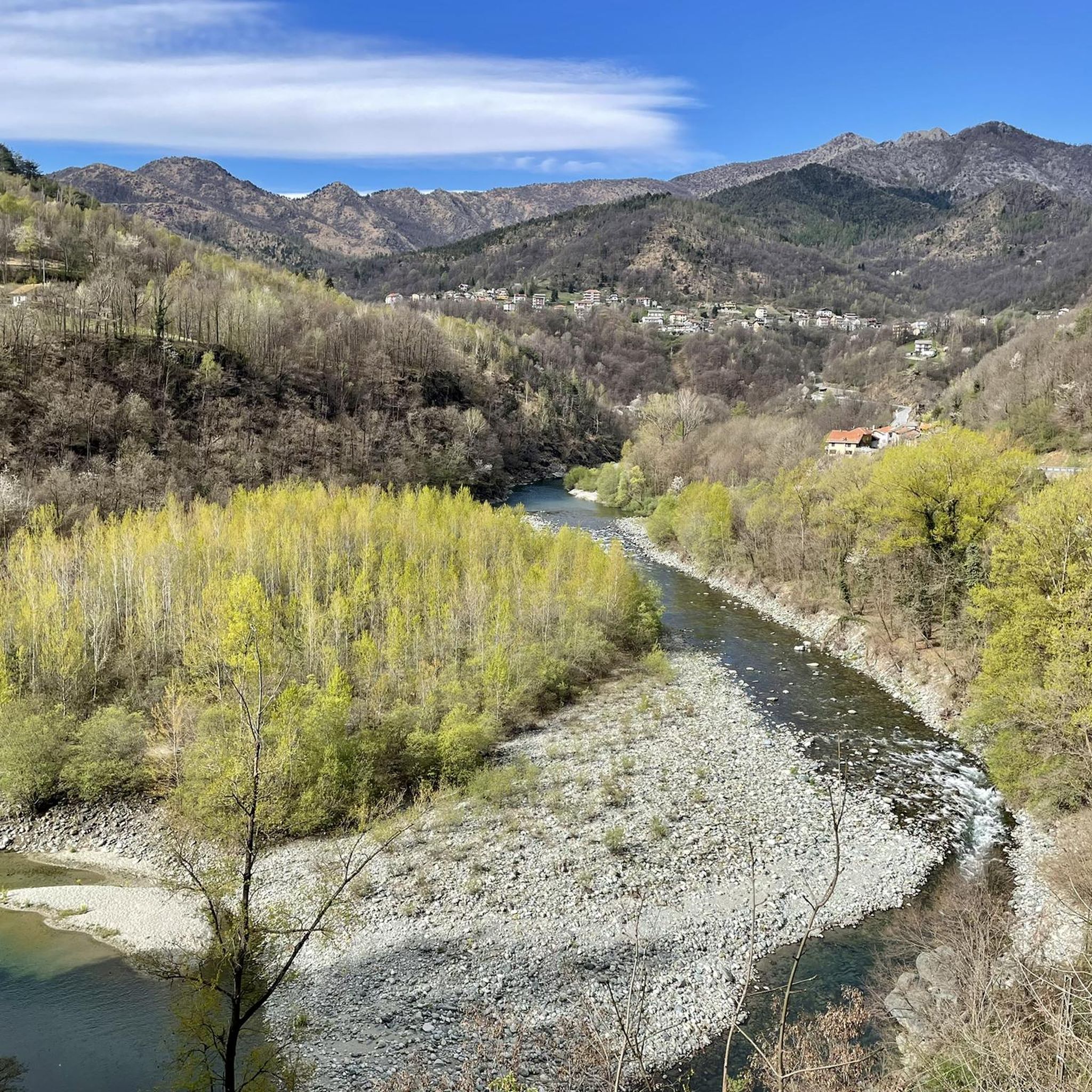
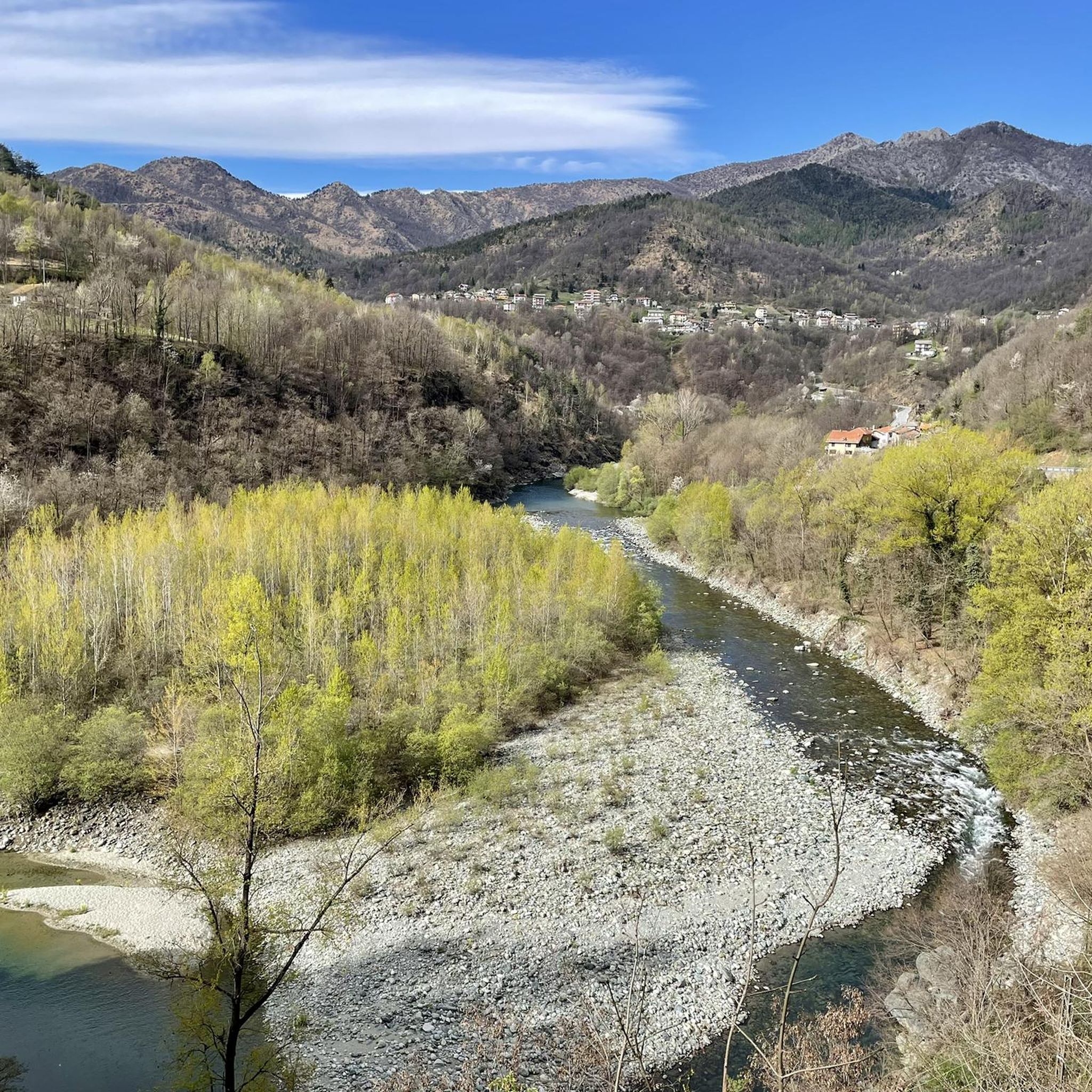
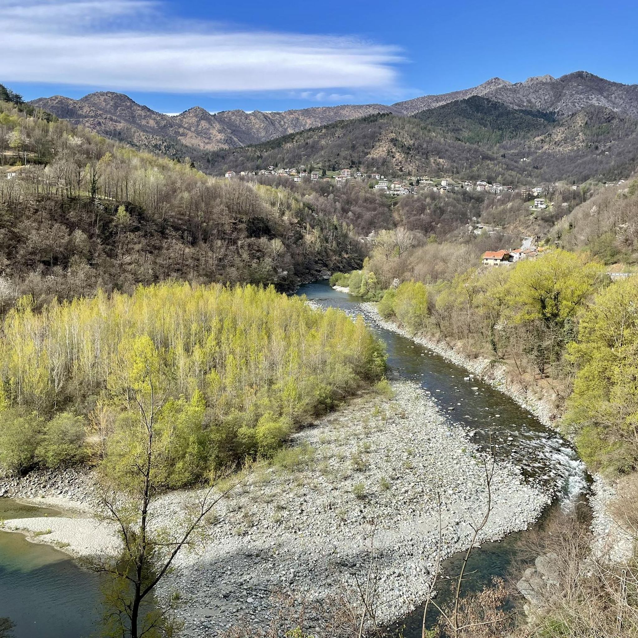
Hiking around Germagnano offers a diverse landscape characterized by rolling hills, forested paths, and river valleys. The region features a network of trails that often include historical sites and elevated viewpoints. Elevation gains are common, providing varied terrain for hikers. The area's natural features support a range of hiking experiences, from leisurely walks to more challenging ascents.
Best hiking trails around Germagnano
- The most popular hiking route is Turcin Mill Loop Trail, a 10.1 miles (16.2 km) trail that…
Last updated: September 27, 2026
4.4
(11)
32
hikers
16.2km
04:41
410m
410m
Moderate hike. Good fitness required. Easily-accessible paths. Suitable for all skill levels.
4.8
(9)
42
hikers
9.85km
03:13
430m
430m
Moderate hike. Good fitness required. Easily-accessible paths. Suitable for all skill levels.

4.7
(6)
39
hikers
7.66km
03:14
670m
670m
Moderate hike. Good fitness required. Easily-accessible paths. Suitable for all skill levels.
4.5
(4)
23
hikers
9.73km
04:22
740m
740m
Moderate hike. Good fitness required. Mostly accessible paths. Sure-footedness required.
5.0
(2)
4
hikers
7.27km
02:28
380m
370m
Moderate hike. Good fitness required. Easily-accessible paths. Suitable for all skill levels.
Get access to more routes and recommendations from other explorers.
Already have an account?
Our route recommendations are based on thousands of hikes, rides, and runs completed by other people on komoot.
Start today with a free account
Your next adventure awaits.

Tips from the Community

Getting there is complicated, there is a lot of portage but the descent is beautiful and very fun
0
0

Sanctuary dedicated to Saint Ignatius of Loyola at 930 m. altitude on the top of Mount Bastia. Built starting from 1629 in thanks for some miracles with which the Saint is said to have protected the valley population
0
0


Punta Serena beautiful peak located at 1130 m above sea level
0
0

The Madonna degli Alpini can be reached via the path that descends from Monte Montello. The statue was created to remember the fallen of the wars and to protect the valleys.
0
0

Splendid Abbey with spectacular views with clear skies.
0
0

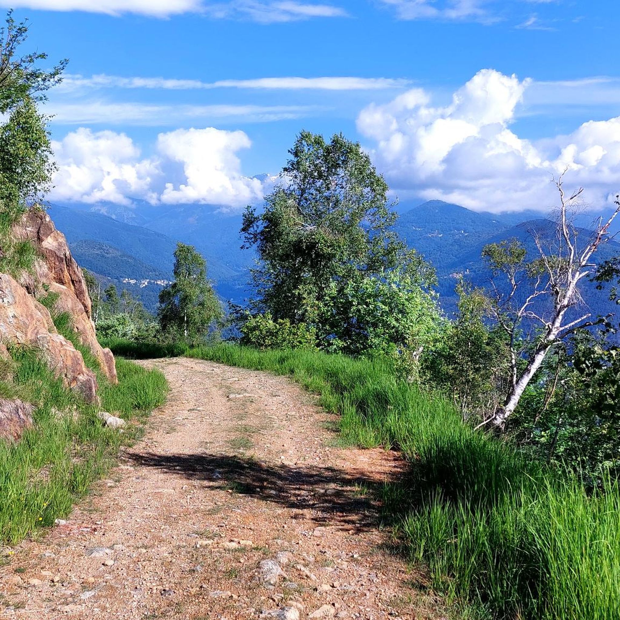
It is located at the crossroads between several paths, and you can go up towards Calcante, or go down to Traves along the Frassati path, or to Fubina on the forest trail. In this beautiful open space you can stop and rest peacefully, on the flattened and somewhat dry grass, with the Uja di Calcante clearly visible up there.
1
0

For those who want to make a ring and walk a little more, you can go up from Tortore and go down to Chiaves by visiting the beautiful hamlet and the Resistance and Peace Park.
2
0
Frequently Asked Questions
How many hiking trails are available around Germagnano?
Germagnano offers a wide selection of hiking opportunities, with over 340 routes available. These range from easy strolls to more challenging ascents, catering to various fitness levels.
Are there easy hiking trails suitable for beginners or families in Germagnano?
Yes, Germagnano has over 90 easy hiking trails perfect for beginners or families. These routes typically feature gentler terrain and shorter distances, allowing for a relaxed outdoor experience. While specific stroller access varies, many easy trails are suitable for families with young children.
What is the best season for hiking in Germagnano?
The best seasons for hiking in Germagnano are generally spring and autumn. During these times, the weather is mild, and the natural scenery is particularly vibrant with blooming flowers or colorful foliage. Summer can also be pleasant, especially at higher elevations, but it's advisable to start early to avoid the midday heat. Winter hiking is possible but may require appropriate gear for snow and ice, especially on higher trails.
Are there any circular hiking routes in Germagnano?
Yes, many of the trails around Germagnano are designed as circular routes, allowing you to start and end at the same point. For example, the Turcin Mill Loop Trail and the Monte Momello and Sant'Ignazio Sanctuary Loop are popular circular options that offer diverse scenery.
What kind of views or landmarks can I expect to see on hikes around Germagnano?
Hiking around Germagnano offers diverse landscapes, including forested hills, river valleys, and elevated viewpoints. You might encounter historical sites like La Bizzarria, or natural landmarks such as the Devil's Bridge (Ponte del Diavolo). Some trails also provide panoramic views, including those of Turin from certain vantage points like the Panoramic Switchbacks With View of Turin.
Are there any less crowded hiking options in Germagnano?
While some routes are more popular, Germagnano's extensive network of over 340 trails means you can often find quieter paths, especially during off-peak hours or by exploring some of the less-trafficked moderate and difficult routes. Consider trails like the Col di Prà Lorenzo Trail (via CAI Route 254) for a more secluded experience.
What do other hikers enjoy most about the trails in Germagnano?
The hiking trails in Germagnano are highly rated by the komoot community, with an average score of 4.4 stars from over 1800 reviews. Hikers often praise the region's diverse terrain, from rolling hills to river valleys, and the blend of natural beauty with historical points of interest. The well-maintained paths and varied difficulty levels are also frequently highlighted.
Is public transport available to access hiking routes in Germagnano?
Public transport options to reach trailheads in Germagnano can vary. While some routes might be accessible via local bus services or regional trains, it's always recommended to check specific route details and local transport schedules in advance to plan your journey effectively.
What should I wear for hiking in Germagnano, especially in autumn?
For hiking in Germagnano, especially in autumn, layering is key. Wear moisture-wicking base layers, an insulating mid-layer, and a waterproof/windproof outer shell. Sturdy hiking boots with good ankle support are essential, as is a hat, gloves, and a backpack with water, snacks, and a first-aid kit. The weather can change quickly, so be prepared for varying conditions.
Are there any cafes or pubs near the hiking trails in Germagnano?
While specific cafes or pubs directly on every trailhead might be limited, Germagnano and its surrounding villages offer various establishments where you can refuel after your hike. Many routes pass through or near small towns where you can find local eateries and bars. It's a good idea to check the map for amenities along your chosen route.
Are there any trails with significant elevation gain for a more challenging hike?
Yes, Germagnano offers trails with significant elevation gain for those seeking a challenge. The Frassati Trail, for example, features varied terrain with notable ascents, providing a good workout and rewarding views. Other moderate to difficult routes also include substantial climbs.
Do I need a permit to hike in the Germagnano area?
Generally, no specific permits are required for hiking on the established trails in the Germagnano area. However, it's always good practice to respect local regulations, especially if you are hiking in protected areas or private lands. Always stay on marked paths and leave no trace.
Most popular routes around Germagnano
Most popular attractions around Germagnano

Get inspired with the komoot mobile app


Explore more
Browse the best Hikes in other regions.
