The best MTB trails around Trierweiler
4.5
(35)
149
riders
26
rides
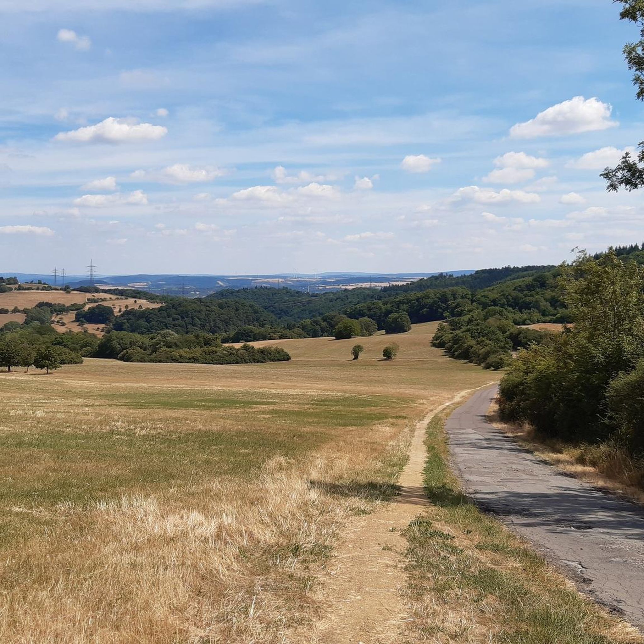
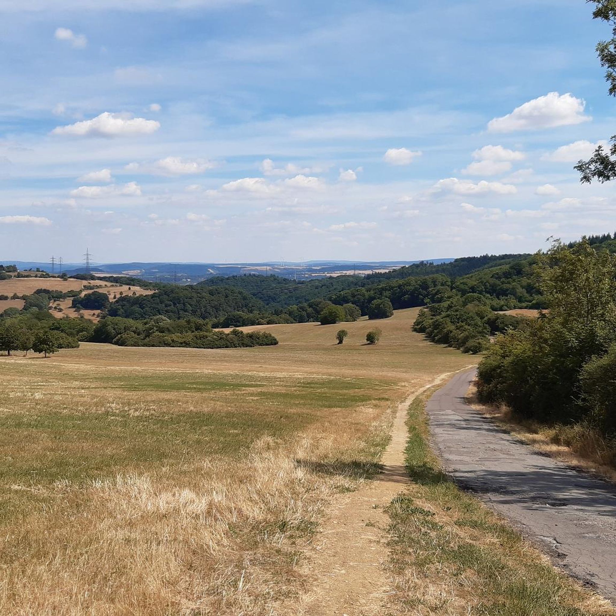
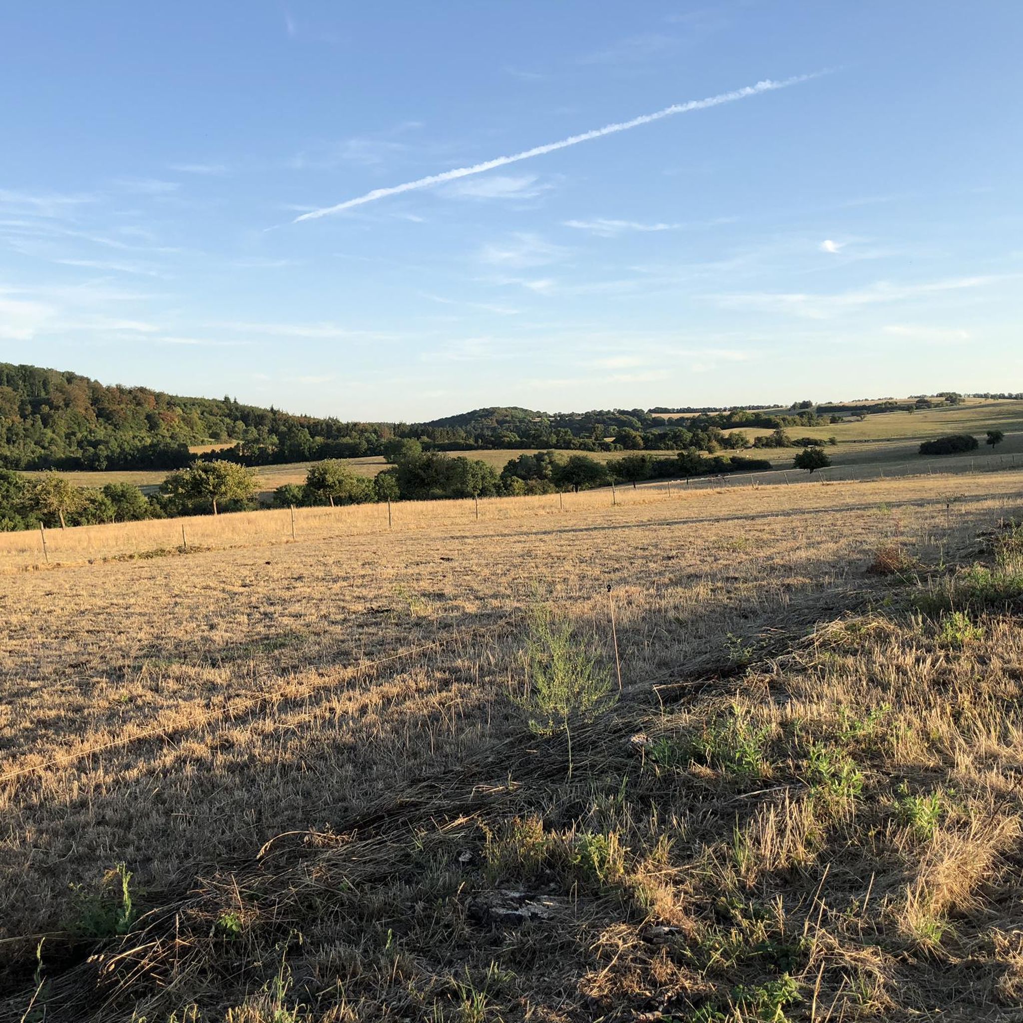
Mountain biking around Trierweiler offers diverse terrain characterized by hilly landscapes, dense forests, and scenic vineyards. The region, situated near the Moselle and Saar river valleys, provides a dynamic backdrop for rides. Mountain bikers can expect trails with varied elevation profiles, ranging from gentle slopes to more challenging ascents and descents. The area's natural features, including sandstone formations and river views, contribute to a varied outdoor experience.
Best mountain bike trails around Trierweiler
- The most popular mountain bike trail is…
Last updated: October 31, 2026
4.6
(10)
13
riders
26.4km
02:17
560m
560m
Moderate mountain bike ride. Good fitness required. Advanced riding skills necessary.
5.0
(2)
12
riders
22.0km
02:01
490m
490m
Moderate mountain bike ride. Good fitness required. Advanced riding skills necessary.

4.3
(3)
12
riders
29.2km
02:03
360m
360m
Moderate mountain bike ride. Good fitness required. Advanced riding skills necessary.
5
riders
44.4km
03:55
960m
960m
Hard mountain bike ride. Very good fitness required. Advanced riding skills necessary.
4.8
(6)
11
riders
45.4km
03:56
960m
960m
Hard mountain bike ride. Very good fitness required. Advanced riding skills necessary.
Get access to more routes and recommendations from other explorers.
Already have an account?
Our route recommendations are based on thousands of hikes, rides, and runs completed by other people on komoot.
Start today with a free account
Your next adventure awaits.

Tips from the Community

From the bridge, we enjoy a beautiful view of the Moselle.
0
0

beautiful castle and pavilion right next to the bike path along the Moselle
0
0


At the Römerbrücke stands this neo-Gothic pillar, crowned by a gilded Rococo statue of Emperor Constantine the Great. The pillar dates from 1847. The statue is a copy of the original from 1726; it was part of a customs gate erected for the opening of the new Römerbrücke.
0
0

Here is a model of the Roman Bridge in Trier, Germany's oldest bridge and a masterpiece of Roman engineering. It has been a UNESCO World Heritage site since 1986 and remains one of the city's most important traffic arteries today, underscoring its enormous stability. Here are the crucial details: Ancient Foundation: The current stone piers date from the mid-2nd century AD (approx. 144–152 AD). Before that, two wooden predecessor bridges from 17 BC and 71 AD already existed in the same location. Construction: The bridge piers were anchored in the riverbed using so-called pile grids. Oak piles were driven deep into the ground, upon which massive stone blocks (made of basalt and bluestone) were placed. In antiquity, these piers supported a wooden roadway structure. Change in the Middle Ages: In the 12th and 14th centuries, the wooden superstructures were replaced by stone arches. Of the original nine piers, five are still preserved today and are of Roman origin. War and Survival: Unlike many other bridges, the Roman Bridge survived World War II almost unscathed, as the demolition charges of the retreating Wehrmacht were not detonated. Symbolic Power: It connects Trier's city center with the West district and is a living monument used daily by thousands of cars and pedestrians.
0
0

Currently, fallen trees are blocking the path!
0
0

It's always nice to see the Roman bridge.
0
0

A fascinating view, especially in the evening when the sun is shining
0
0
Frequently Asked Questions
How many mountain bike trails are available around Trierweiler?
There are over 30 mountain bike trails around Trierweiler, catering to various skill levels. This includes 6 easy, 24 moderate, and 2 difficult routes, offering a diverse range of experiences for mountain bikers.
What kind of terrain should I expect on mountain bike trails near Trierweiler?
The terrain around Trierweiler is characterized by hilly landscapes, dense forests, and scenic vineyards. You can expect varied elevation profiles, from gentle slopes to challenging ascents and descents. Natural features like sandstone formations and river views along the Moselle and Saar valleys add to the dynamic backdrop.
Are there any challenging mountain bike trails for experienced riders?
Yes, for experienced riders seeking a challenge, trails like the Olker Klamm Trail – Olker Klamm Trail loop from Trierweiler offer a demanding descent and require good fitness. Another difficult option is the Ralinger Railway Tunnel – Tudor Castle loop from Trierweiler, which features significant elevation changes and advanced riding skills.
Are there any family-friendly mountain bike trails around Trierweiler?
While many trails in the region require good fitness and advanced riding skills due to the hilly terrain, there are 6 easy routes that might be more suitable for families or those looking for a less strenuous ride. Always check the specific trail details for elevation and technical features to ensure it matches your family's skill level.
What natural landmarks or scenic viewpoints can I see along the mountain bike trails?
The trails often wind through lush forests and offer views of the picturesque Moselle and Saar river valleys. You might also encounter unique geological formations like the Teufelsschlucht (Devil's Gorge) with its impressive sandstone rock erosion landscape. The Fisherman Statue on the Moselle River, Wasserbillig – View of the Römerbrücke loop from Sirzenich offers scenic views along the Moselle River.
Are there any historical sites or attractions accessible from the mountain bike routes?
Yes, the region is rich in history. You can find several castles and historical sites nearby. For instance, the Ralinger Railway Tunnel – Tudor Castle loop from Trierweiler passes by the Tudor Castle. Other notable attractions include the Electoral Palace and Palace Garden, Trier, and the Roman copper mine and quarry Pützlöcher.
Are there circular mountain bike routes available?
Many of the mountain bike trails around Trierweiler are designed as loops, allowing you to start and end at the same point. Examples include the Olker Klamm Trail – Olker Klamm Trail loop from Trierweiler and the Igel Climbing Wall Platform – Green Tunnel Path loop from Sirzenich.
What is the best time of year for mountain biking in Trierweiler?
The spring and autumn months generally offer the most pleasant conditions for mountain biking, with milder temperatures and vibrant scenery. Summer can also be good, but be prepared for warmer weather. While winter riding is possible, trails may be muddy or icy, so checking weather conditions beforehand is advisable.
What do other mountain bikers enjoy most about the trails in Trierweiler?
The mountain bike trails in Trierweiler are highly rated by the komoot community, with an average score of 4.3 stars from over 40 reviews. Riders often praise the diverse terrain, the challenging descents, and the scenic beauty of the forests and river valleys. The variety of trails, from moderate to difficult, is also frequently highlighted.
Are there any trails that feature waterfalls?
Yes, the Busental Waterfall – Busental Forest Trail loop from Sirzenich is a moderate mountain bike route that includes the Busental Waterfall, offering a refreshing natural feature along your ride.
Can I find mountain bike trails that pass by places to eat or drink?
While specific pub stops are not always explicitly marked on every trail, the region's proximity to charming villages and vineyards means you can often find cafes, restaurants, or traditional taverns (Straußwirtschaften) in nearby towns like Trierweiler, Sirzenich, or along the Moselle. Planning your route to pass through these areas can allow for a convenient break.
Most popular routes around Trierweiler
Most popular attractions around Trierweiler

Get inspired with the komoot mobile app


Explore more
Browse the best MTB trails in other regions.
