The best walks and hikes around Bianco
4.9
(7)
29
hikers
3
hikes
Hiking around Bianco, located in the Aspromonte National Park in Southern Italy, offers a diverse landscape for outdoor enthusiasts. The region is characterized by rugged mountains, dense forests, and Mediterranean scrubland, providing varied terrain for exploration. Trails often feature panoramic views of the surrounding peaks and valleys, with some routes leading to serene lakes or through historic villages. The area's geology includes ancient rock formations and deep river valleys.
Best hiking trails around Bianco
- The most popular hiking route is From San Luca to Lago Costantino – Aspromonte National Park, a 8.8 miles (14.2 km) trail that takes 4 hours 58 minutes to complete, leading through varied mountain terrain to a tranquil lake.
- Another top favourite among local hikers is Staiti Village – Monte Cerasia loop from Staiti, a moderate 7.3 miles (11.8 km) path that explores the local village and ascends to Monte Cerasia for expansive views.
- Local hikers also love the Monte Cerasia – Staiti Village loop from Staiti, a 12.9 miles (20.7 km) trail leading through mountainous landscapes and offering challenging ascents, often completed in about 6 hours 14 minutes.
- Hiking around Bianco is defined by rugged mountain paths, dense forests, and scenic village routes. The network offers options for different ability levels, from moderate loops to more challenging mountain ascents.
- The routes in Bianco are highly rated by the komoot community with an average score of 4.9 stars from over 7 reviews. More than 29 hikers have used komoot to explore Bianco's varied terrain.
Last updated: August 15, 2026
14.2km
04:58
360m
360m
Moderate hike. Good fitness required. Mostly accessible paths. Sure-footedness required.
4.8
(4)
12
hikers
11.8km
03:43
470m
470m
Moderate hike. Good fitness required. Easily-accessible paths. Suitable for all skill levels.

Sign up for free
5.0
(1)
8
hikers
20.7km
06:14
690m
700m
Hard hike. Very good fitness required. Easily-accessible paths. Suitable for all skill levels.
5.0
(1)
8
hikers
10.4km
03:30
500m
490m
Moderate hike. Good fitness required. Easily-accessible paths. Suitable for all skill levels.
5.0
(1)
1
hikers
11.5km
03:16
260m
260m
Moderate hike. Good fitness required. Easily-accessible paths. Suitable for all skill levels.
Our route recommendations are based on thousands of hikes, rides, and runs completed by other people on komoot.
Start today with a free account
Your next adventure awaits.
Login or Signup
Popular around Bianco
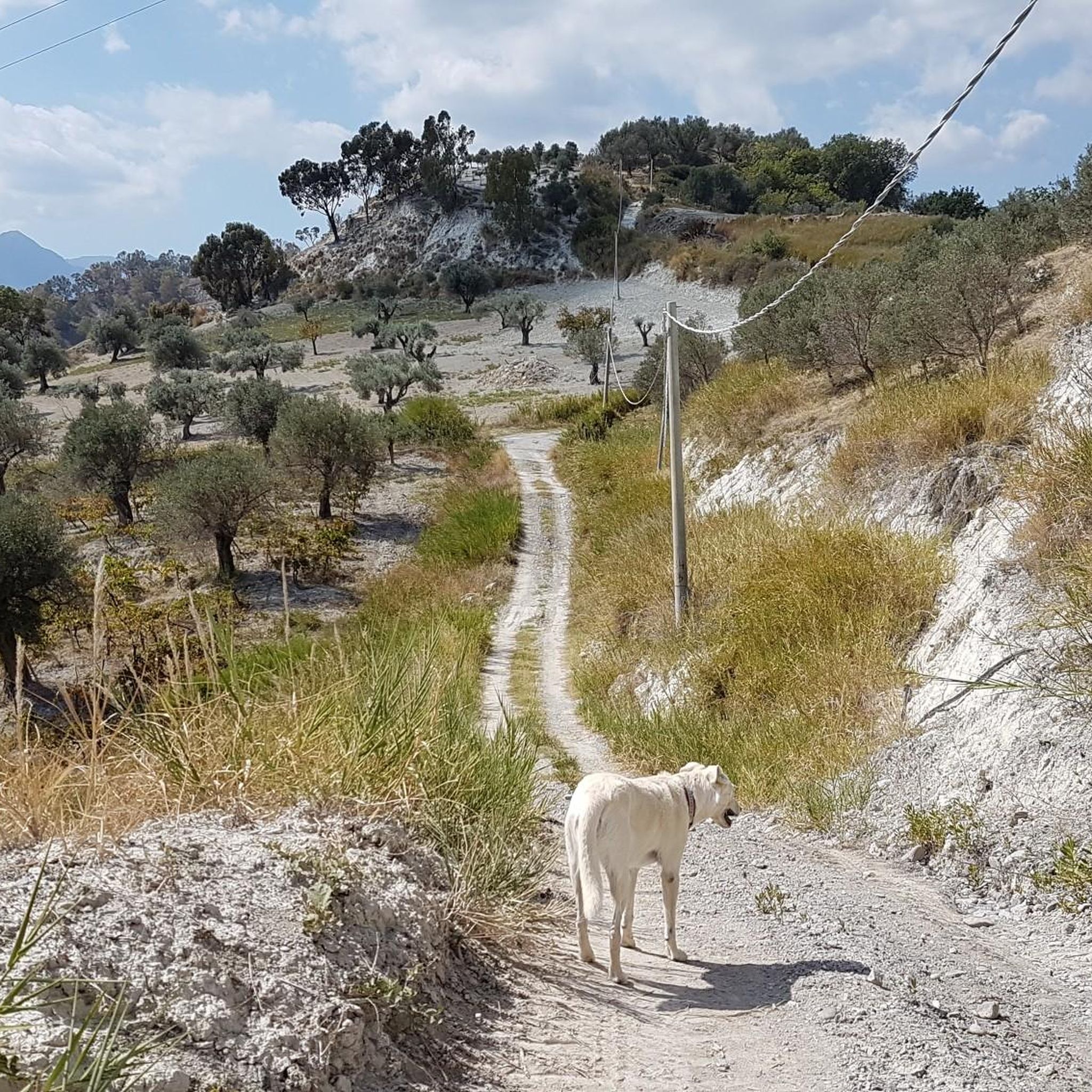
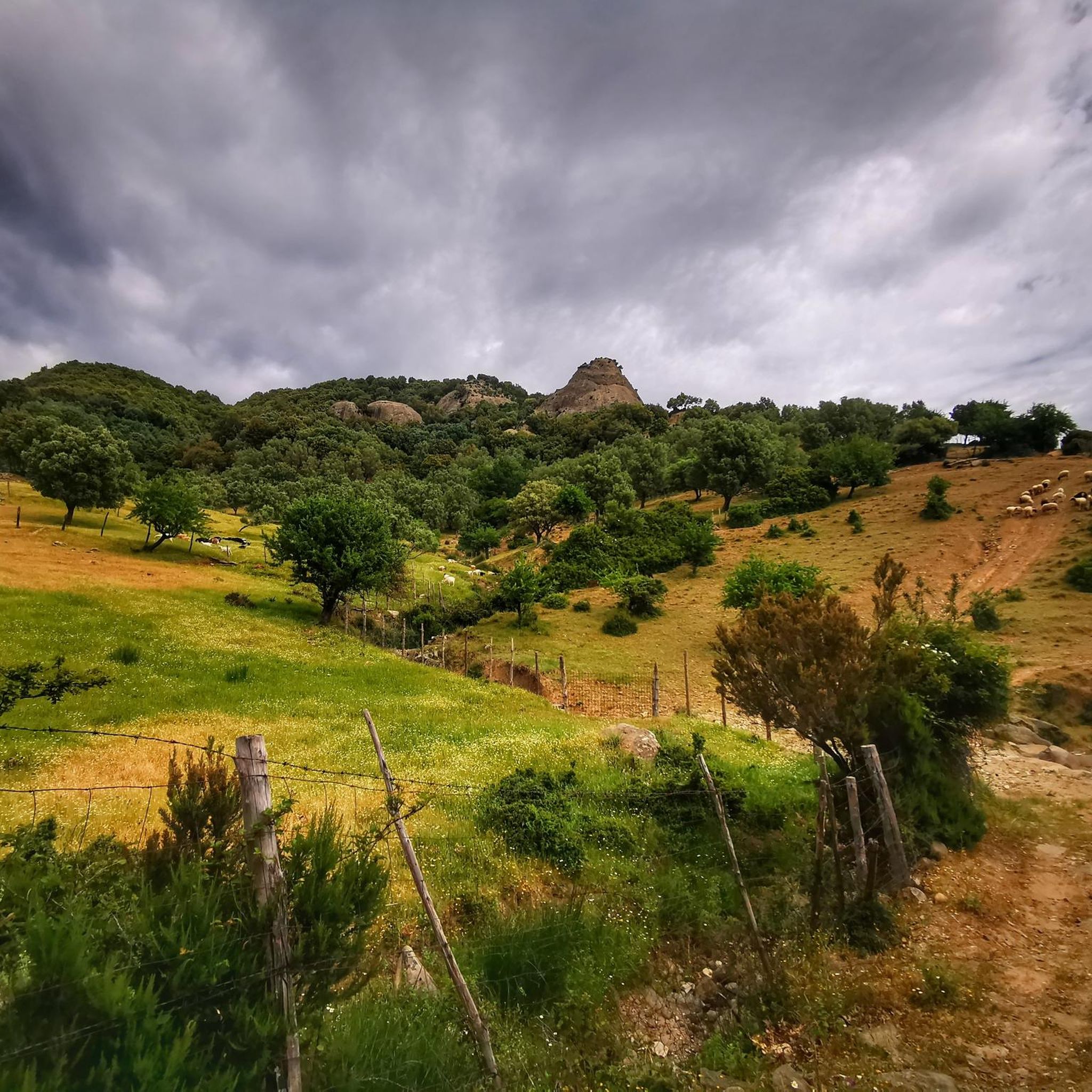
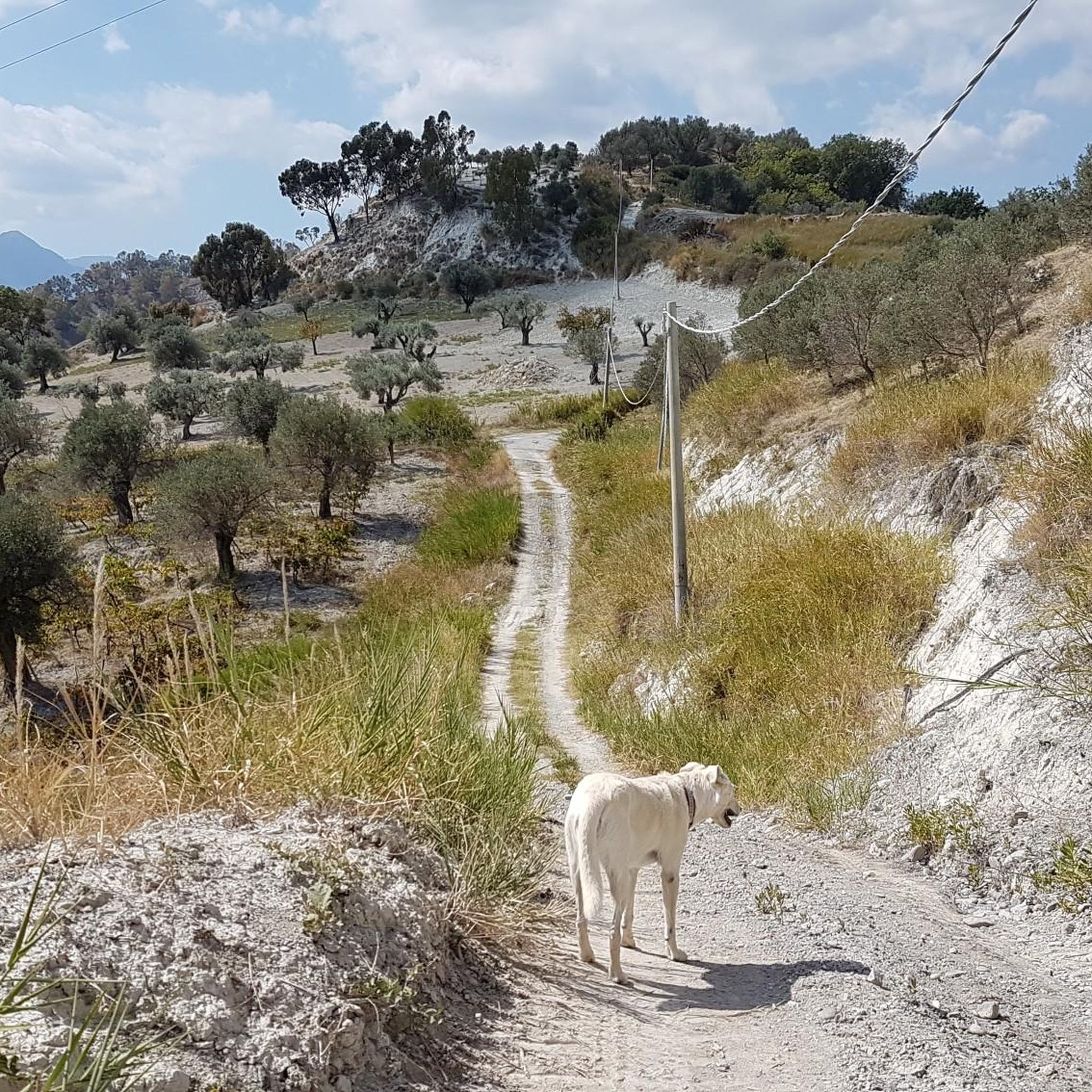
Tips from the Community

We advise against undertaking the route in the summer period. The poorly maintained trail gets lost in very dense and at times inaccessible vegetation. Brambles and thistles invade the already poorly marked path, which is partially retraced by grazing cows. Not recommended.
0
0

Almost uninhabited village that retains a great authenticity. There are fountains for refreshment.
0
0

Staiti is located in the southernmost point of the Aspromonte National Park in the Brazzano river valley. The name Staiti derives from the “Stayti” family who ruled the territory in the 16th century.
4
0
Monte Cerasia is located 1,013 meters above sea level. At the top you can enjoy a spectacular panorama between the Ionian Sea and the Aspromonte National Park.
5
0

The Alìca valley extends near the small village of Pietrapennata, where the evocative remains of what was once a church, perhaps a monastery, still stand in an open but silent environment.
4
0
we crossed it to visit the ruins of the church of S. Maria dell'Alica in the valley of silence
2
0

Following a landslide in 1973, the Fiumara Bonamico was blocked by debris and Lake Costantino was formed. However, over time this large basin became silted up, almost completely disappearing. Every time there was a strong storm, in fact, the sediments dragged by the water went to settle on the seabed, consequently reducing its capacity. Today, a very small portion remains.
2
0

Pietrapennata is a small, semi-abandoned village in Calabria at an altitude of 670 metres. It is ancient and its inhabitants are descendants of peoples from Malta (still today the inhabitants are called "martisi").
5
0
Frequently Asked Questions
How many hiking trails are available around Bianco?
There are 5 diverse hiking routes available around Bianco, ranging from moderate to difficult, offering a variety of experiences for different skill levels.
What kind of landscapes can I expect to see while hiking near Bianco?
The hiking trails around Bianco offer a mix of landscapes, from the rugged terrain of the Aspromonte National Park to coastal views. You can expect to encounter traditional villages, historical ruins, and stunning natural features like cliffs and beaches. The region is characterized by its dramatic scenery, typical of Southern Italy.
Are there any challenging hikes around Bianco?
Yes, for those seeking a challenge, the Monte Cerasia – Staiti Village loop from Staiti is a difficult route covering over 20 km with significant elevation gain, offering a rewarding experience for experienced hikers.
Are there any circular hiking routes in the Bianco area?
Yes, several routes are circular, allowing you to start and end in the same location. Examples include the Staiti Village – Monte Cerasia loop from Staiti and the Passo del Monaco – Scaluni di Furraina loop from Punto Panorama, which are both moderate in difficulty.
What are some interesting places to explore or landmarks to see along the trails?
While hiking around Bianco, you can discover several points of interest. The Staiti Village itself is a charming settlement, and you can also find the Ruins of Santa Maria dell'Alica. For natural beauty, the Africo Cliffs and the Beaches and Cliffs of Africo offer spectacular coastal views.
What do other hikers say about the trails around Bianco?
The hiking trails around Bianco are highly rated by the komoot community, with an average score of 4.9 stars based on 7 reviews. Hikers often praise the diverse landscapes, the sense of tranquility, and the opportunity to explore both mountainous and coastal environments.
Are there any routes that pass through or near towns where I can find refreshments?
Yes, the Ice cream shop loop from Bianco is a moderate route that starts and ends in Bianco, making it convenient for finding refreshments before or after your hike. The Staiti Village – Monte Cerasia loop from Staiti also passes through Staiti, where you might find local amenities.
What is the typical duration for hikes in this region?
The duration of hikes around Bianco varies. Moderate routes typically take between 3.5 to 4.5 hours to complete, while more challenging trails, like the difficult loop from Staiti, can take over 6 hours. Distances range from approximately 10 km to over 20 km.
Are there any hikes that offer views of the coast or access to beaches?
While specific routes are not explicitly coastal, the region's proximity to the Ionian Sea means that some trails may offer panoramic views of the coastline. The Brancaleone Marina and the Beaches and Cliffs of Africo are nearby attractions that highlight the coastal beauty of the area.
What is the best time of year to go hiking around Bianco?
Given the Mediterranean climate of the region, spring and autumn are generally the most pleasant times for hiking around Bianco. Temperatures are milder, and the natural scenery is vibrant. Summer can be very hot, especially at lower elevations, so early morning hikes are recommended if visiting during this season. Winter offers a different, often quieter, experience, but some higher elevation trails might be less accessible.
Most popular attractions around Bianco

Get inspired with the komoot mobile app


Explore more
Browse the best Hikes in other regions.
