The best walks and hikes around Varapodio
4.3
(240)
920
hikers
43
hikes
Hiking around Varapodio offers diverse landscapes in southern Italy's Calabria region. The area is characterized by its position between rolling hills and the Tyrrhenian Sea, with an agricultural landscape featuring citrus and olive groves. It lies near Aspromonte National Park, which provides dense forests, ancient trees, and expansive green prairies. The region also features natural attractions like the Galasia and Mundu Waterfalls.
Best hiking trails around Varapodio
- The most popular hiking route is Sentiero delle Cascate Mundu e Galasia – Parco Nazionale dell'Aspromonte, an easy 2.1 miles (3.4 km) trail that takes 1 hour 9 minutes to complete. This path leads to the Galasia and Mundu Waterfalls within Aspromonte National Park.
- Another top favourite among local hikers is Pietra Cappa – National Park of Aspromonte, a moderate 5.6 miles (9.0 km) path. This route explores the area around the distinctive rock formation of Pietra Cappa.
- Local hikers also love the Sentiero del Monte Tre Pizzi – Parco Nazionale dell'Aspromonte, a 2.6 miles (4.3 km) trail leading through Aspromonte National Park, often completed in about 1 hour 22 minutes.
- Hiking around Varapodio is defined by the rugged terrain of Aspromonte National Park, scenic hills, and the presence of waterfalls. The network offers options for easy, moderate, and difficult ability levels.
- The routes in Varapodio are highly rated by the komoot community with an average score of 4.2 stars from over 160 reviews. More than 600 hikers have used komoot to explore Varapodio's varied terrain.
Last updated: July 19, 2026
4.6
(27)
92
hikers
3.36km
01:09
170m
170m
Embark on the Waterfalls Trail, an easy hike that guides you through a humid, dense forest filled with ancient trees and abundant mosses. This route covers 2.1 miles (3.4 km) with an elevation gain of 561 feet (171 metres), typically taking about 1 hour and 9 minutes to complete. You will discover the spectacular Mundu Waterfall and Galasia Waterfall, where water cascades impressively, creating a refreshing atmosphere.
When planning your visit, note that the trail is generally considered easy, making it suitable for various fitness levels. While much of the path is shaded, be aware that some sections can be rocky. The ascent from the base of Galasia Waterfall might present a slightly more challenging part of the hike. Parking is usually available near the trailhead, but it is always a good idea to check local conditions before you go.
This trail offers a unique opportunity to explore the natural beauty of Aspromonte National Park. As you hike, keep an eye out for the rare *Woodwardia radicans*, a prehistoric fern that adds to the trail's distinct, primordial feel. Some parts of the route also provide panoramic views stretching towards the Tyrrhenian Sea, offering a broader perspective of the landscape.
4.7
(13)
72
hikers
8.97km
02:58
430m
430m
Embark on a moderate hike through the "Valley of the Great Stones" in the National Park of Aspromonte, where unique geological formations dominate the landscape. This 5.6-mile (9.0 km) route, with an elevation gain of 1404 feet (428 metres), takes approximately 2 hours and 58 minutes to complete. As you hike, you will encounter colossal monolithic rocks like Pietra Cappa, Stone Castle, and Long Stone, while winding through dense vegetation of chestnut, holm oak, wild mint, and oregano. The trail offers varying perspectives of Pietra Cappa as you circumnavigate it, and some viewpoints reward you with expansive views of the Ionian and Tyrrhenian Seas, and even Mount Etna. This trail requires good fitness and sure-footedness, involving trekking up and down mountainsides with a few obstacles. While the specific duration can vary depending on your chosen loop, expect a challenging excursion where trekking shoes and good physical preparation are necessary. Always be prepared for the terrain, which includes diverse vegetation and ancient forests. The primary draw of this trail is Pietra Cappa itself, recognized as the largest monolith in Europe, standing 140-145 meters (459 feet) high and covering 4 hectares. This geological site is a symbol of the UNESCO-recognized Aspromonte Geopark, showcasing massive rocky conglomerates shaped by natural forces. Beyond its natural grandeur, the area is rich in history and folklore, with ancient rock settlements and caves like the "Rocche of San Pietro" once inhabited by Basilian monks. The monolith is also central to numerous local legends, adding a mystical layer to your hiking experience.

Sign up for free
4.8
(17)
47
hikers
4.26km
01:22
180m
180m
Embark on an easy hike along the Monte Tre Pizzi Trail, a route that guides you through varied landscapes. You will walk past agricultural fields, through fragrant Mediterranean scrub, and into peaceful forests of holm oak and pine. This pleasant journey covers 2.6 miles (4.3 km) with a gentle elevation gain of 594 feet (181 metres), making it an accessible option for most hikers. Expect to complete the loop in about 1 hour and 22 minutes. From the summit, you can enjoy expansive views of the Ionian Sea coastline, a truly rewarding sight after your short climb.
The Monte Tre Pizzi Trail is generally accessible, making it easy to plan your visit. You will find established paths and dirt roads throughout the route, ensuring a straightforward hike. Parking is typically available near the trailheads within the Aspromonte National Park area, so you should have no trouble finding a spot for your vehicle. There are no specific warnings about seasonal closures or permits required for this trail, allowing you flexibility in when you choose to go.
This trail is notable for its striking natural features within Aspromonte National Park. The mountain itself is often described as a mighty rock bastion, characterized by its three distinct granite rock towers. From the summit, you can take in broad panoramas that stretch from Bruzzano Cape all the way to Mount Due Mari, offering a unique perspective of the region's geography. It is a perfect choice if you are looking for a short, rewarding outdoor experience with impressive views.
4.6
(5)
10
hikers
Embark on an easy hike through the Rocce di San Pietro da Natile Vecchio loop, a 2.9-mile (4.7 km) route in the Aspromonte National Park. You will gain about 920 feet (280 metres) in elevation, typically completing the journey in 1 hour and 38 minutes. This trail leads you through the unique "Valley of the Great Stones," where you can admire distinctively shaped rock formations. As you hike, enjoy expansive views of the sea and the mountains of Plati, all while surrounded by ancient chestnut and holm oak forests.
Planning your visit is straightforward, as the trailhead for this route is conveniently located next to a parking lot. The path itself features a mix of surfaces, including both paved sections and natural, unpaved terrain, making it accessible for most hikers. This variety ensures a comfortable and engaging experience as you explore the natural beauty of the park.
The Rocce di San Pietro da Natile Vecchio loop is notable for its impressive Rocce di San Pietro monoliths, which stand as striking natural monuments. You will also encounter magnificent vistas of Pietra Cappa, often referred to as the "Queen of Aspromonte." This trail offers a wonderful opportunity to immerse yourself in the geological and natural wonders of the region, providing a memorable outdoor experience.
4.0
(1)
4
hikers
14.2km
04:54
770m
770m
Hike the moderate 8.8-mile Pietra Cappa Loop Trail in Aspromonte National Park, exploring Europe's largest monolith and ancient rock formati
Get access to more routes and recommendations from other explorers.
Sign up for free
Already have an account?
Our route recommendations are based on thousands of hikes, rides, and runs completed by other people on komoot.
Start today with a free account
Your next adventure awaits.
Login or Signup

Tips from the Community

There are no water points and I recommend suitable shoes.
0
0

The Mundu Waterfall, which is located at 675 m above sea level. within the Aspromonte, it represents a natural wonder in an area where waters and suggestive waterfalls abound. The way to reach this waterfall is fascinating and impressive, despite its brevity, and is characterized by some difficulties due to landslides
3
0
The Galasia Waterfall, located at 645 m above sea level. in Aspromonte, it represents an exciting natural spectacle in an area rich in water and suggestive waterfalls. The path to reach it is short but suggestive and breathtaking. The path, crossing beech and pine forests, leads to three waterfalls that have formed pools in the rock, in which, in summer, it is a must to take a bath as a reward for the journey.
3
1
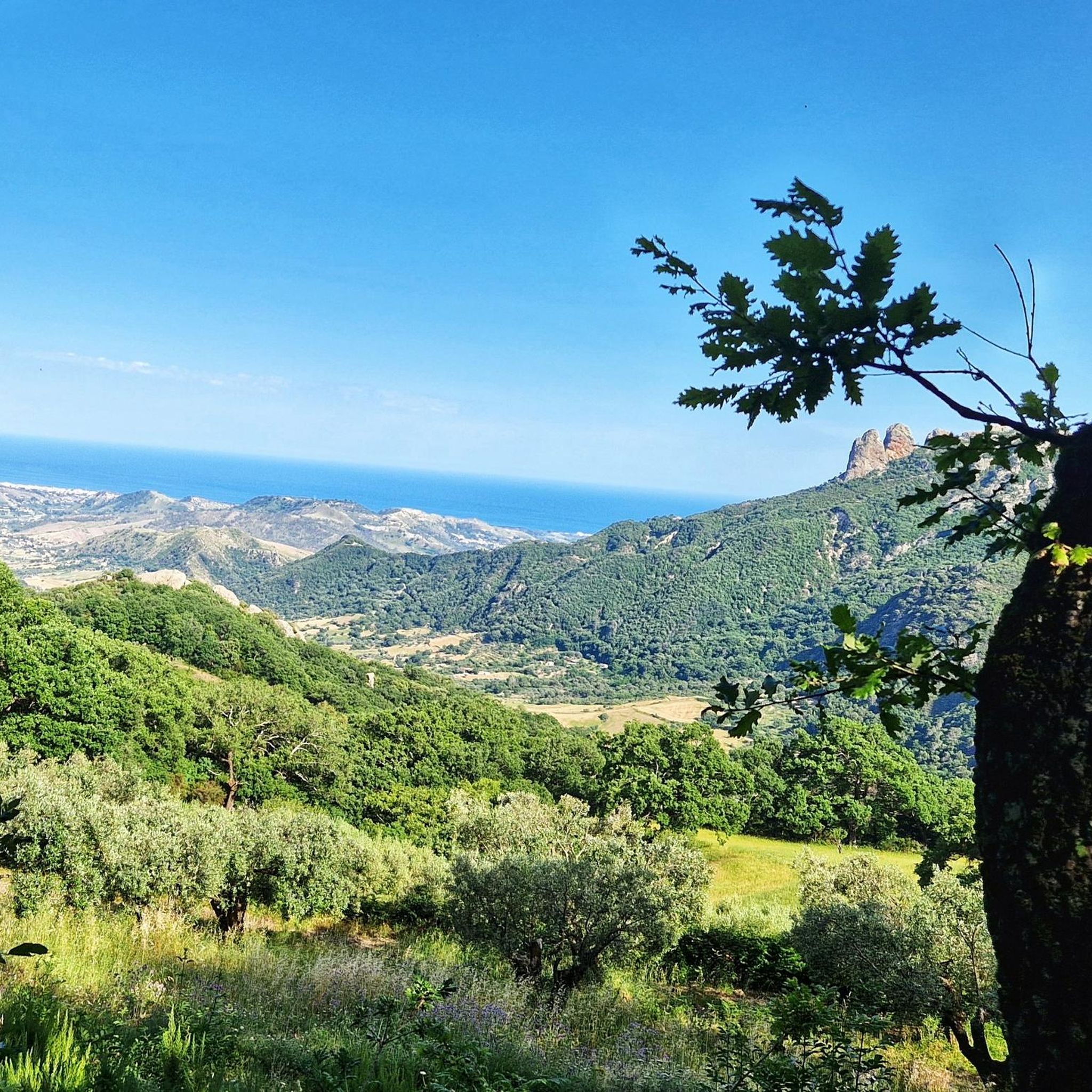
Monte Tre Pizzi, known for its three-peaked shape, is a 700 meter elevation located between the municipalities of Antonimina and Ciminà, on the borders of the Aspromonte National Park. From its top, you can enjoy a panorama that extends from the Gerace fortress to the Ionian coast, and the ruins of an ancient convent of hermit friars, probably from the 12th century, known as "The little church of the Three Pizzi" are visible.
2
0


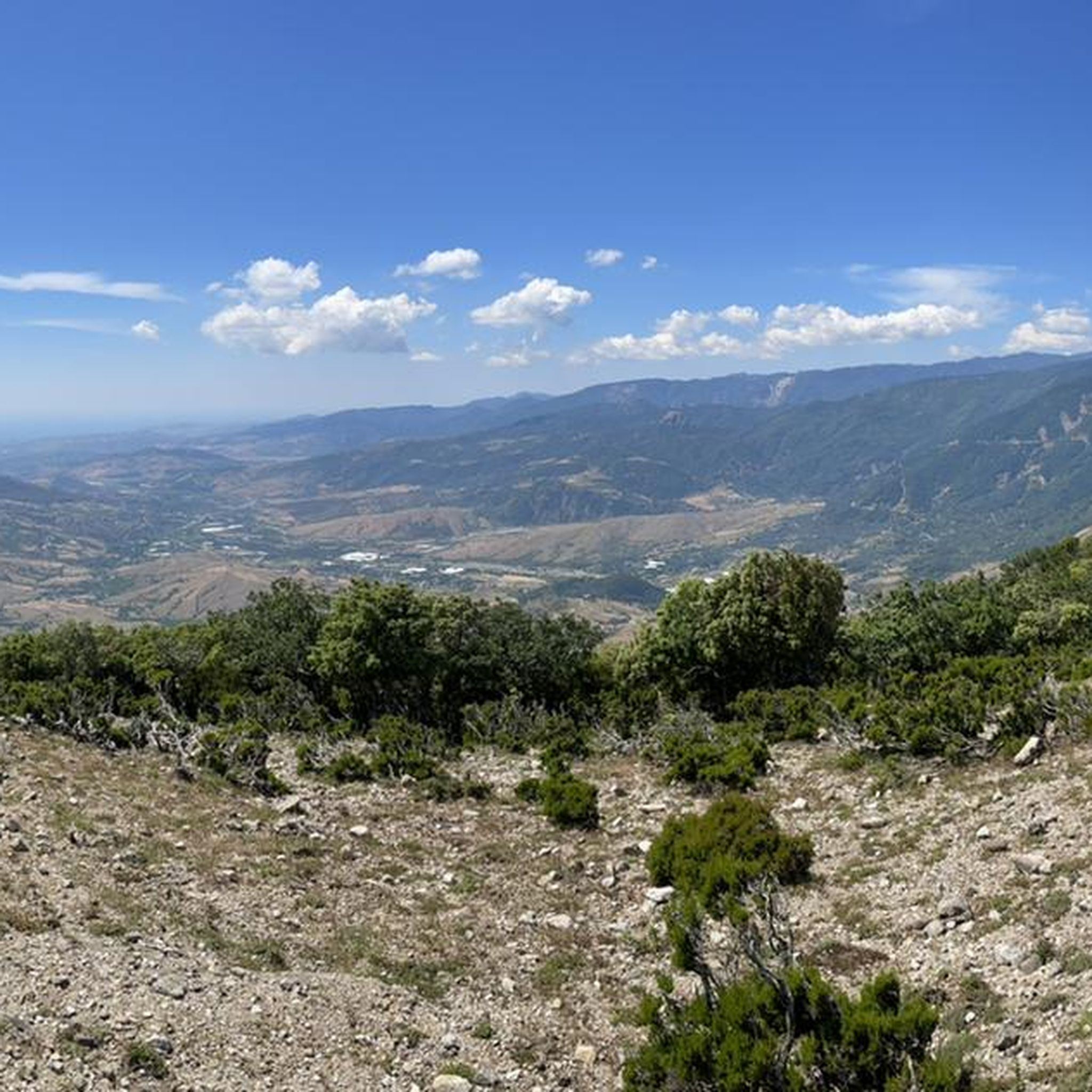
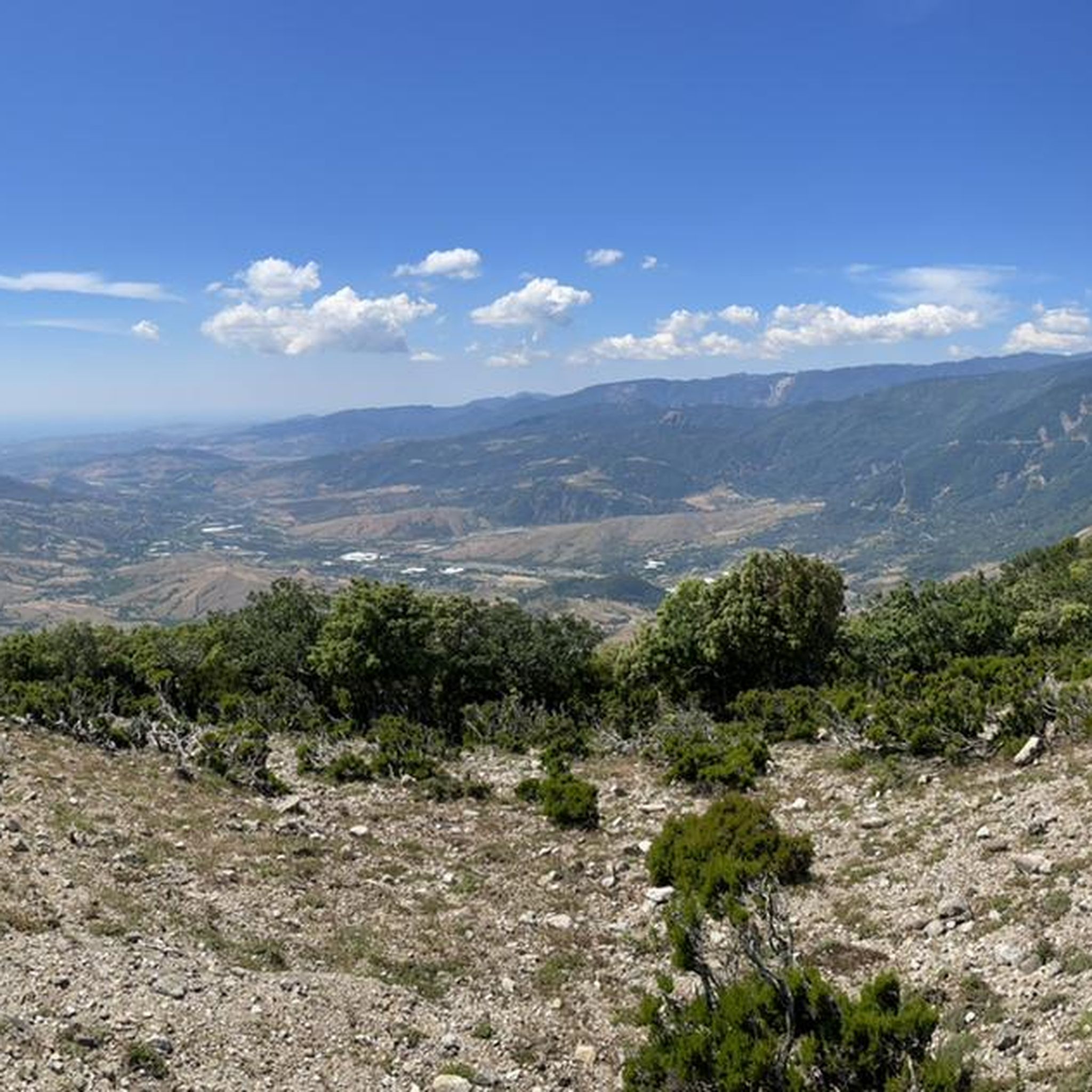
From the top there is a great view down.
1
0
Frequently Asked Questions
What types of hiking trails can I find around Varapodio?
Varapodio offers a diverse range of hiking trails, from easy strolls through agricultural landscapes to more challenging routes within the rugged Aspromonte National Park. You'll find paths leading through dense forests, past ancient trees, and along scenic hills with views towards the Tyrrhenian Sea.
Are there any easy hiking trails suitable for beginners or families?
Yes, Varapodio has a good selection of easy trails. For instance, the Sentiero delle Cascate Mundu e Galasia – Parco Nazionale dell'Aspromonte is an easy 2.1-mile (3.4 km) path that leads to the beautiful Galasia and Mundu Waterfalls. In total, there are 16 easy routes available in the area.
What natural attractions or landmarks can I see while hiking near Varapodio?
The region is rich in natural beauty. You can explore the vast Aspromonte National Park with its forests and waterfalls. The Galasia Waterfall is a notable highlight, offering natural pools for summer swims. Other points of interest include the distinctive rock formation of Pietra Cappa and the scenic Tracciolino Trail, which offers panoramic views of the Tyrrhenian Sea and the Aeolian Islands.
Are there any circular hiking routes around Varapodio?
Yes, there are several circular routes available. An example is the Rocce di San Pietro da Natile Vecchio – loop in the Aspromonte National Park, which is an easy 2.9-mile (4.7 km) trail. These loops provide a convenient way to explore the diverse landscapes without retracing your steps.
What is the best time of year to go hiking in Varapodio?
The region's Mediterranean climate generally makes spring and autumn ideal for hiking, offering pleasant temperatures and vibrant scenery. Summer can be warm, especially at lower elevations, but trails in the higher parts of Aspromonte National Park provide cooler conditions. Winter hiking is possible, but some higher routes might be affected by snow or colder weather.
Can I bring my dog on the hiking trails in Varapodio?
Many trails in the Varapodio area and within Aspromonte National Park are generally dog-friendly. However, it's always recommended to keep your dog on a leash, especially in protected areas or near wildlife, and to check specific trail regulations before you go.
Are there any trails that lead to waterfalls where I can swim?
Yes, the path to the Galasia and Mundu Waterfalls, such as the Sentiero delle Cascate Mundu e Galasia, is known for its natural pools that invite summer swims. These waterfalls are located at 645 meters above sea level within Aspromonte National Park.
What do other hikers say about the trails in Varapodio?
The hiking routes in Varapodio are highly rated by the komoot community, with an average score of 4.2 stars from over 160 reviews. Hikers often praise the diverse terrain, from the rugged beauty of Aspromonte National Park to the scenic coastal views, and the presence of natural highlights like the waterfalls.
Are there any challenging hikes for experienced hikers?
Yes, for experienced hikers seeking a challenge, there are 4 difficult routes around Varapodio. These trails often feature significant elevation changes and cover longer distances, providing a more strenuous and rewarding experience within the mountainous terrain of Aspromonte National Park.
Is public transport available to reach trailheads near Varapodio?
While Varapodio is a smaller comune, public transport options might be limited for direct access to all trailheads, especially those deep within Aspromonte National Park. It's advisable to check local bus schedules or consider driving to reach more remote starting points. Some popular trails might have more accessible parking areas.
Where can I find food or accommodation near the hiking areas?
Varapodio itself offers local amenities including cafes and restaurants where you can find traditional Calabrian cuisine. For accommodation, you can find hotels or B&Bs in Varapodio and surrounding towns. It's a good idea to plan ahead, especially if hiking in more remote parts of Aspromonte National Park, as options might be scarcer there.
Most popular attractions around Varapodio

Get inspired with the komoot mobile app


Explore more
Browse the best Hikes in other regions.
