The best road cycling routes around Traisen
4.3
(76)
2,948
riders
11
rides
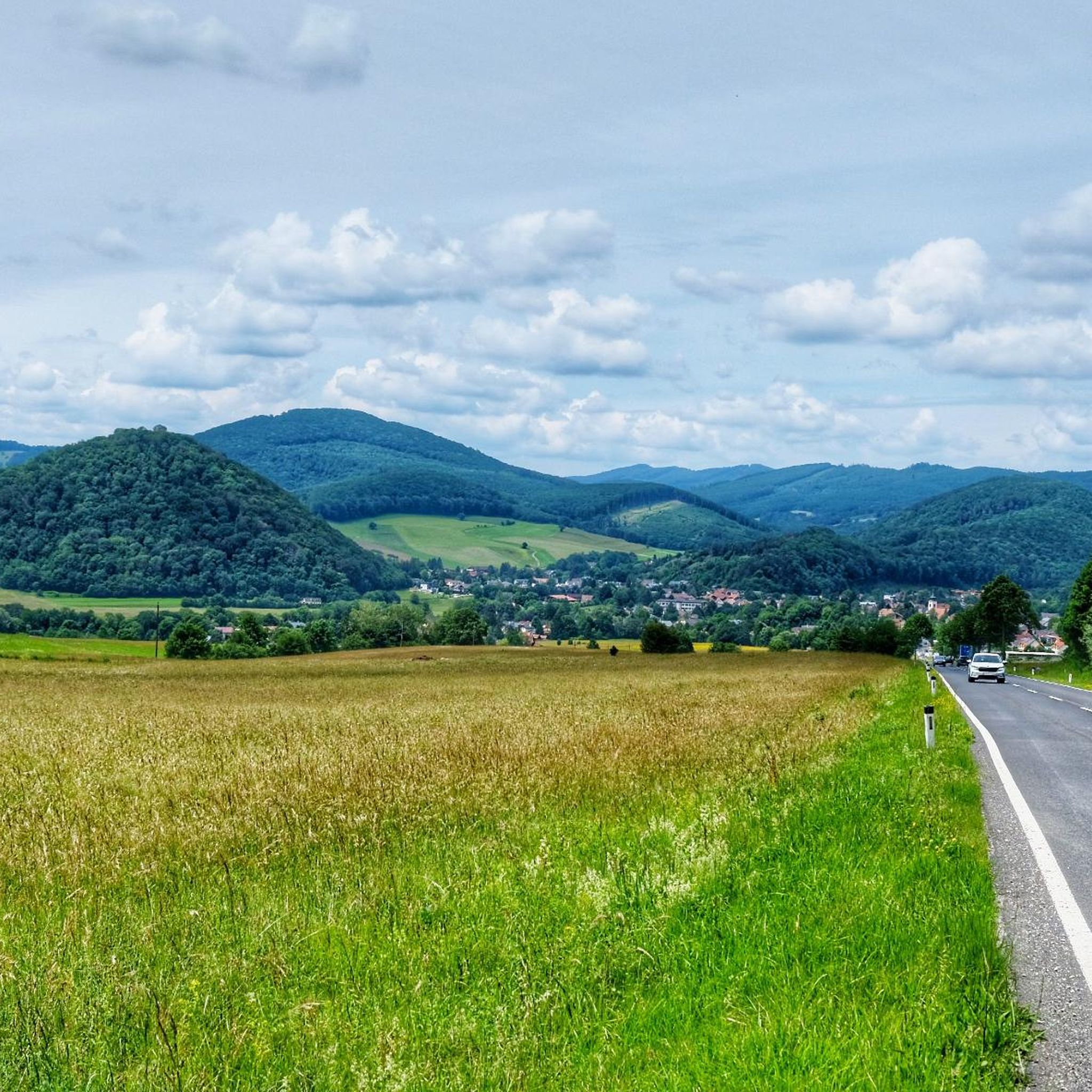
Road cycling around Traisen offers a diverse landscape characterized by river valleys, rolling hills, and challenging ascents. The region features a mix of open countryside and routes passing by historic landmarks. Elevation gains vary, providing options from gentle gradients to significant climbs.
Best road cycling routes around Traisen
- The most popular road cycling route is Scenic Bypass – Ochsenburg Castle loop from Traisen Markt, a 39.0 miles (62.8 km) trail that takes 2 hours 45 minutes to complete. This route features rolling terrain and passes by historic sites.
- Another top favourite among local road cyclists is Scenic Bypass – Descent from Tradigist loop from Traisen, a difficult 36.8 miles (59.2 km) path. This route includes significant elevation changes and varied terrain, offering both climbs and descents.
- Local road cyclists also love the Parish Church of St. Veit – Ochsenburg Castle loop from Traisen Markt, a 44.7 miles (72.0 km) trail leading through rural landscapes and past cultural points of interest, often completed in about 3 hours 14 minutes.
- Road cycling around Traisen is defined by river valleys, rolling hills, and historic landmarks. The network offers options for different ability levels, from easy paths to difficult ascents.
- The routes in Traisen are highly rated by the komoot community with an average score of 4.3 stars from over 70 reviews. More than 2,900 road cyclists have used komoot to explore Traisen's varied terrain.
Last updated: May 8, 2026
4.3
(3)
170
riders
62.8km
02:45
510m
510m
Moderate road ride. Good fitness required. Some segments of this route may be unpaved and difficult to ride.
83
riders
59.2km
03:05
970m
970m
Hard road ride. Very good fitness required. Mostly well-paved surfaces and easy to ride.

Sign up for free
72
riders
72.3km
03:14
660m
660m
Moderate road ride. Good fitness required. Mostly well-paved surfaces and easy to ride.
3.0
(1)
75
riders
77.1km
04:16
1,470m
1,470m
Hard road ride. Very good fitness required. Mostly well-paved surfaces and easy to ride.
18
riders
Easy road ride. Great for any fitness level. Mostly well-paved surfaces and easy to ride.
Get access to more routes and recommendations from other explorers.
Sign up for free
Already have an account?
Our route recommendations are based on thousands of hikes, rides, and runs completed by other people on komoot.
Start today with a free account
Your next adventure awaits.
Login or Signup

Other adventures around Traisen

Tips from the Community

Definitely stop by! Great atmosphere and super friendly service!
0
0
The route over the Ehrenecker Höhe is recommended
0
0
super connection from or to Plambaheck
0
0

Magnificent cycle path in beautiful landscape
0
0
beautiful connection from Kirchberg to the north
0
0
pleasant, easy connection from St. Pölten to LF
0
0

Beautiful path along the Traisen.
0
0

The Lilienfeld Local History Museum is housed in a historic building that is itself part of the town's history and reflects the traditional character of the region. The old structure, with its solid walls and simple rooms, lends the museum an authentic atmosphere and provides a fitting setting for the exhibition. The museum displays exhibits on the history of Lilienfeld, on rural and craft life, and on the everyday lives of previous generations. By operating as a museum, the building is not only preserved but also used as an important place for the preservation and dissemination of local cultural heritage.
0
0
Frequently Asked Questions
How many road cycling routes are available in the Traisen region?
There are over 10 road cycling routes around Traisen, offering a variety of experiences for different skill levels. The komoot community has rated these routes with an average score of 4.3 stars.
Are there easy road cycling routes suitable for beginners in Traisen?
Yes, Traisen offers several easy road cycling routes. For example, the Tunnels on the Türnitzer Railway Cycle Path – Lilienfeld Abbey loop from Traisen Markt is an easy 20.2-mile (32.5 km) route with moderate elevation gain, perfect for those new to road cycling or looking for a relaxed ride.
What kind of terrain can I expect on road cycling routes in Traisen?
The Traisen region features a diverse landscape for road cycling, characterized by river valleys, rolling hills, and some challenging ascents. You'll find a mix of open countryside and routes passing by historic landmarks, with elevation gains varying from gentle gradients to significant climbs.
Are there challenging road cycling routes for experienced riders in Traisen?
Absolutely. Experienced road cyclists will find several difficult routes with significant elevation changes. The Luftberg South Ascent – Luftberg Pass loop from Traisen Markt, for instance, is a difficult 48.0-mile (77.3 km) route with over 1,400 meters of ascent, providing a substantial challenge.
What are some notable landmarks or attractions I can see along the road cycling routes?
Many routes pass by historic sites and natural beauty. You might encounter places like Ochsenburg Castle or the Parish Church of St. Veit. For specific points of interest, consider exploring highlights such as the Traisner Hut or the Hochstaff Summit, which are popular among visitors.
Are there circular road cycling routes in the Traisen valley?
Yes, many road cycling routes in Traisen are designed as loops, allowing you to start and end at the same point. Examples include the popular Scenic Bypass – Ochsenburg Castle loop from Traisen Markt and the Parish Church of St. Veit – Ochsenburg Castle loop from Traisen Markt.
What do other road cyclists enjoy most about cycling in Traisen?
The komoot community highly rates road cycling in Traisen, with an average score of 4.3 stars from over 70 reviews. Riders often praise the diverse landscape, which offers a good mix of river valleys, rolling hills, and challenging ascents, as well as the scenic routes passing by historic sites.
What is the typical duration for road cycling routes in Traisen?
Route durations vary significantly based on distance and elevation. You can find shorter rides like the easy 20.2-mile (32.5 km) route that takes around 1 hour 30 minutes, up to longer, more challenging routes like the 48.0-mile (77.3 km) loop which can take over 4 hours to complete.
Are there any routes that offer particularly scenic viewpoints?
Many routes in Traisen offer scenic views as they traverse river valleys and rolling hills. While specific viewpoints are best discovered on the routes themselves, the region's natural beauty ensures picturesque landscapes throughout your ride. Routes with higher elevation gains, such as the Scenic Bypass – Descent from Tradigist loop from Traisen, often provide expansive vistas.
Are there road cycling routes that pass by places to stop for refreshments or cafes?
While specific cafes are not listed for each route, many routes pass through or near towns and villages where you can find opportunities for refreshments. The region's focus on local experiences means you'll often find charming stops along the way, especially in larger settlements or near popular attractions.
What is the best time of year for road biking in Traisen?
The best time for road biking in Traisen is typically from spring through autumn, when the weather is mild and the landscapes are vibrant. Summer offers longer daylight hours, while spring and autumn provide comfortable temperatures and beautiful scenery. Winter cycling is possible but may require specific gear and awareness of conditions.
Most popular routes around Traisen
Most popular attractions around Traisen

Get inspired with the komoot mobile app


Explore more
Browse the best Road cycling routes in other regions.
