The best walks and hikes around Rogolo
4.5
(7453)
37,611
hikers
663
hikes
Hiking around Rogolo offers a diverse landscape characterized by alpine pastures, mountain passes, and valley trails. The region features significant elevation changes, with routes traversing both high-altitude areas and lower valley floors. Many trails lead through forested sections and open terrain, providing varied views of the surrounding mountains. Rogolo hiking trails present options ranging from moderate valley walks to challenging mountain ascents.
Best hiking trails around Rogolo
- The most popular hiking route is Alpe Tagliata e Alpe Piazza – loop…
Last updated: October 9, 2026
4.8
(6)
12
hikers
9.95km
03:48
700m
700m
Hard hike. Good fitness required. Sure-footedness, sturdy shoes and alpine experience required.
1
hikers
14.3km
07:50
1,370m
1,390m
Hard hike. Very good fitness required. Sure-footedness, sturdy shoes and alpine experience required.

4.8
(6)
31
hikers
9.85km
03:53
720m
710m
Hard hike. Good fitness required. Sure-footedness, sturdy shoes and alpine experience required.
13
hikers
9.20km
02:19
10m
10m
Moderate hike. Good fitness required. Easily-accessible paths. Suitable for all skill levels.
5.0
(1)
7
hikers
19.0km
09:02
1,420m
1,420m
Hard hike. Very good fitness required. Sure-footedness, sturdy shoes and alpine experience required.
Get access to more routes and recommendations from other explorers.
Already have an account?
Our route recommendations are based on thousands of hikes, rides, and runs completed by other people on komoot.
Start today with a free account
Your next adventure awaits.
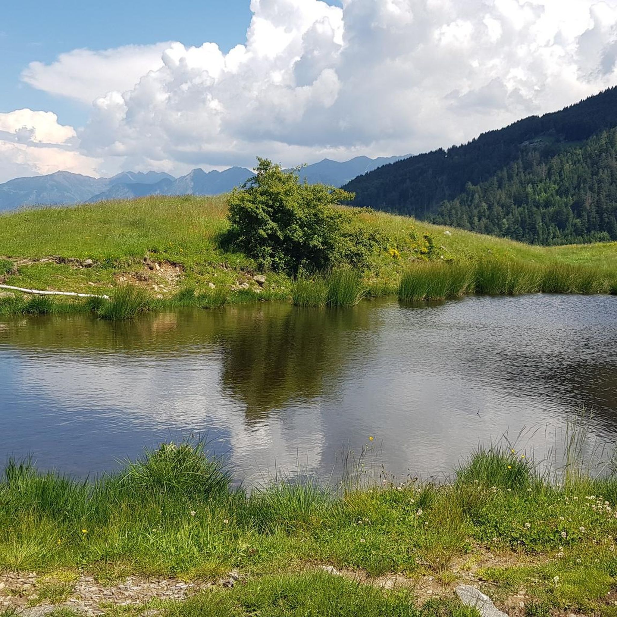
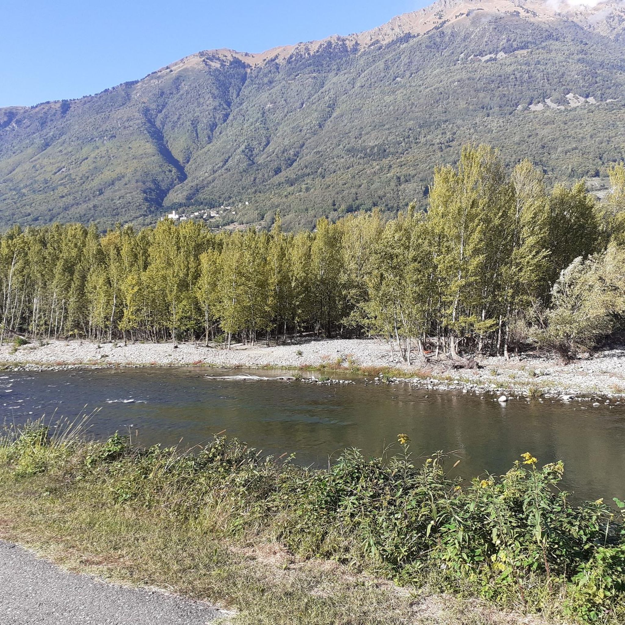
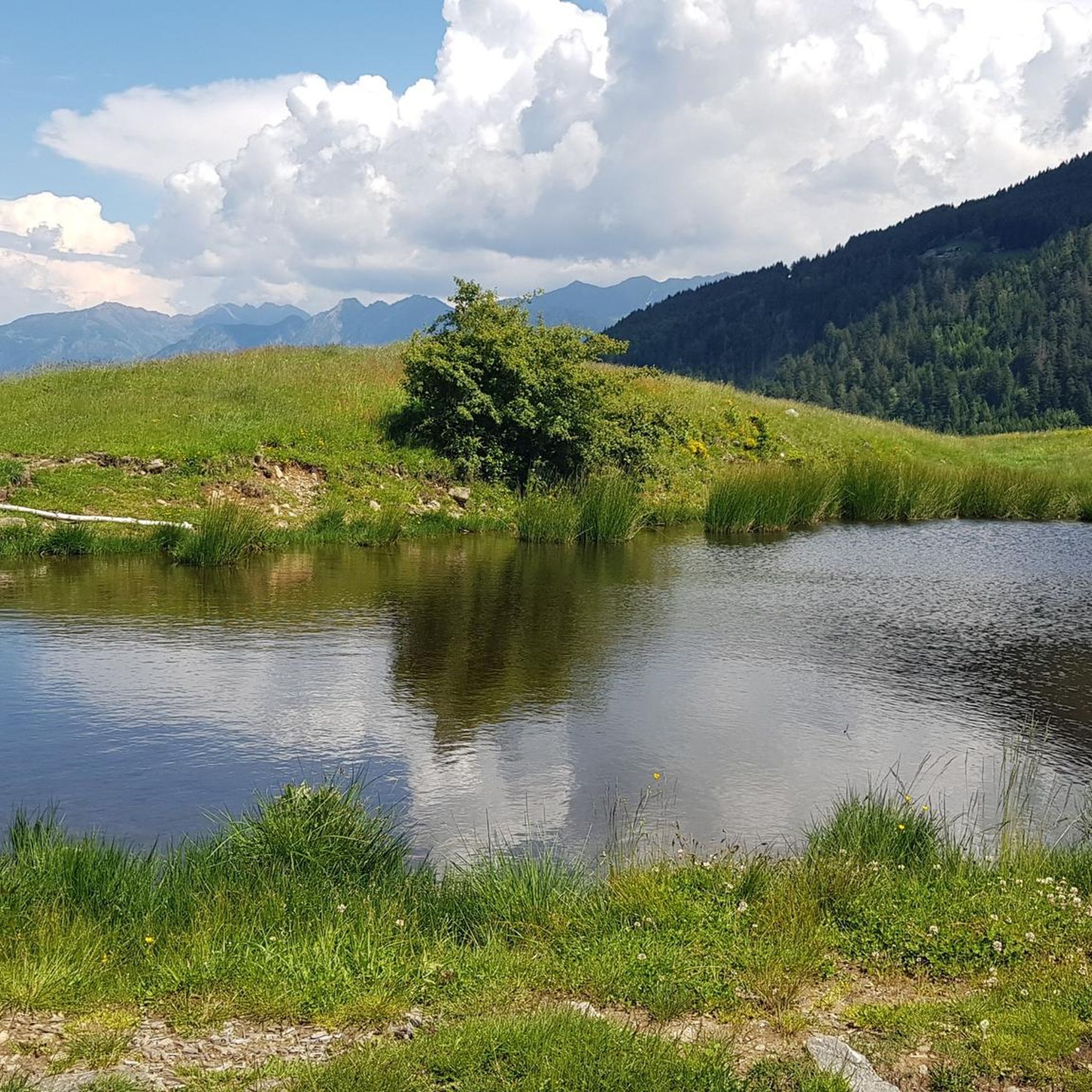
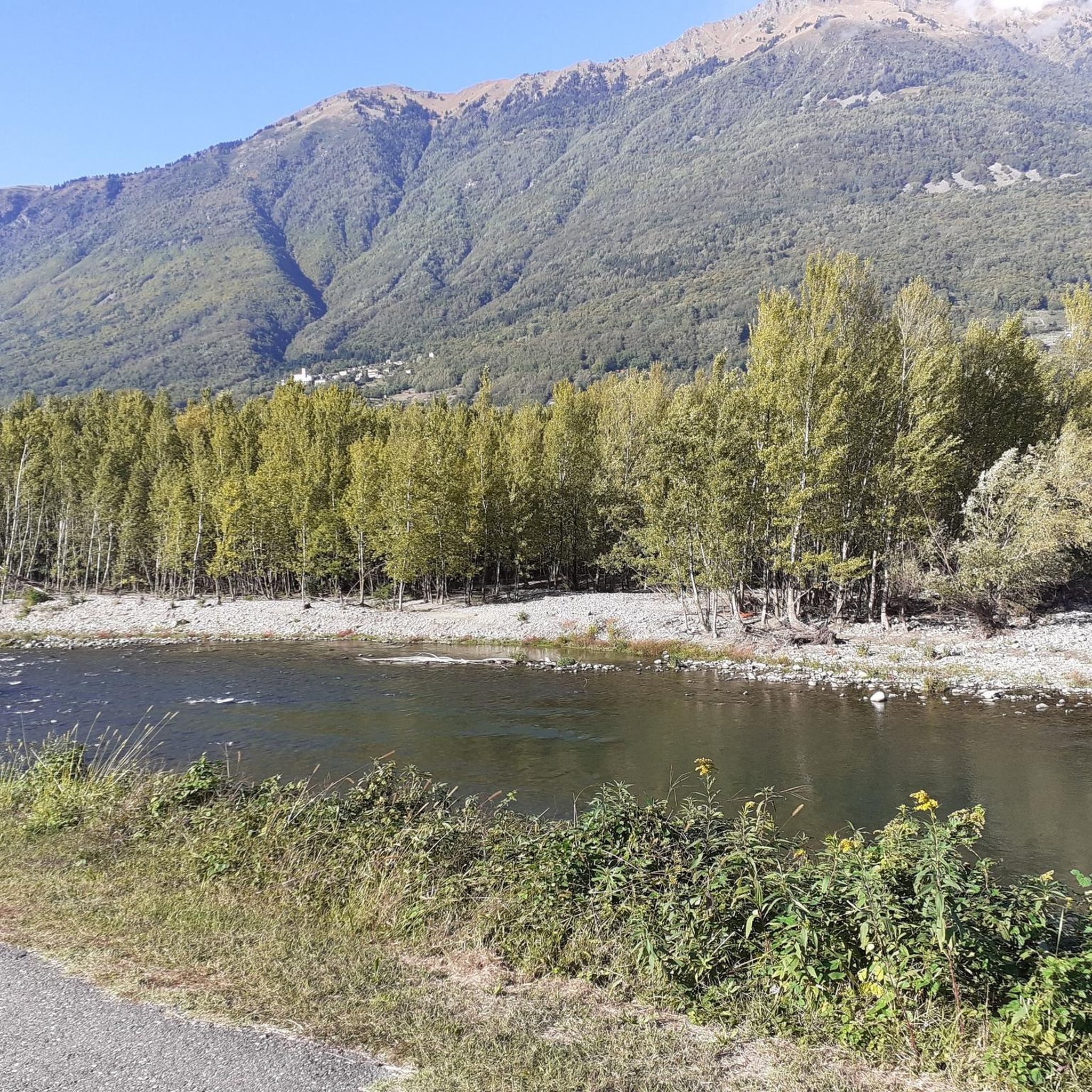

Tips from the Community

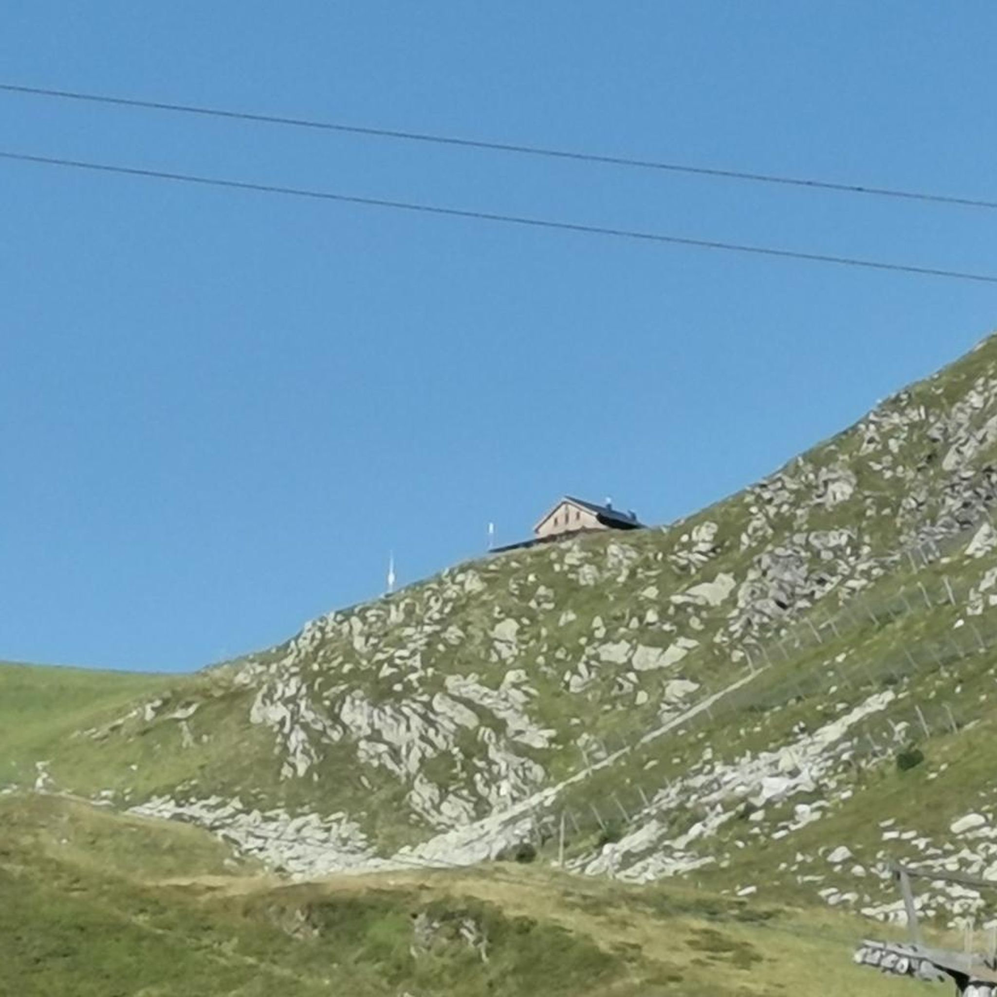
Bivouac just above the parking lot
0
0
Great parking, it costs €5 for the whole day and you pay via the Consorzio Migliore Montagne app. At the beginning of the road there is a camera that records the license plate and you have one month to pay.
0
0
It has a beautiful view, a shame that when we went up it was half covered by clouds
0
0
This gallery carved into the rock dates back to the First World War
0
0
The Stravello pass is the connection between the two valleys
0
0

From here the stretch starts entirely in the undergrowth.
0
0

The Sentiero Valtellina is a 114 kilometer cycle/pedestrian route that starts from Colico, on Lake Como and goes up to Bormio. In Delebio you cycle or walk on the right side of the Adda river, in a context that is still very urban.
2
0

At Bocchetta (2202 m), in addition to the beautiful view of the Lombardy mountains, you can explore the remains of the First World War front.
1
0
Frequently Asked Questions
How many hiking trails are available around Rogolo?
Rogolo offers a wide variety of hiking experiences, with over 650 trails documented on komoot. These range from gentle valley walks to challenging mountain ascents, catering to different skill levels and preferences.
What are the general difficulty levels of hiking trails in Rogolo?
The trails around Rogolo present a diverse range of difficulties. You'll find approximately 120 easy routes, around 270 moderate trails, and over 260 difficult options, including challenging mountain ascents through alpine terrain.
Are there any family-friendly hiking routes in Rogolo?
Yes, Rogolo has several routes suitable for families. For a gentler experience along the valley floor with minimal elevation change, consider the Valtellina Trail – Valtellina Trail loop from Mantello. This moderate path is a good option for a family outing.
Can I find circular hiking routes around Rogolo?
Absolutely. Many trails in the Rogolo area are designed as loops. A notable example is the Alpe Tagliata e Alpe Piazza – loop tour, which offers a challenging experience through alpine landscapes. For a longer, more demanding loop, the Ponte di Stavello – Baita di Burelee loop from Rogolo is also available.
What kind of natural attractions can I expect to see along the trails?
The Rogolo region is rich in natural beauty. You can explore stunning mountain peaks like Monte Legnone Summit and Monte Legnoncino Summit Cross. Additionally, there are beautiful waterfalls such as the Waterfalls of the Valle Le Valene Stream and the Val Mora Waterfall, offering picturesque views.
What do other hikers say about the trails in Rogolo?
The hiking trails in Rogolo are highly regarded by the komoot community, boasting an average rating of 4.5 stars from over 6,000 reviews. Hikers frequently praise the diverse landscapes, from alpine pastures to valley paths, and the well-maintained network of trails.
What is the best time of year to go hiking in Rogolo?
The best time for hiking in Rogolo generally spans from late spring through early autumn (May to October). During these months, the weather is typically mild, and the trails are clear of snow, especially at higher elevations. Summer offers lush greenery and warmer temperatures, while autumn provides vibrant foliage.
Are there opportunities for winter hiking in Rogolo?
While many high-altitude trails may be inaccessible due to snow in winter, some lower valley paths and forest routes around Rogolo can still be enjoyed. It's crucial to check local conditions, trail accessibility, and weather forecasts before heading out for a winter hike, and ensure you have appropriate gear.
Are there any trails that lead to places with refreshments or cafes?
Many hiking regions in the Alps and pre-Alps, including areas around Rogolo, feature mountain huts (rifugi) or small cafes in villages along popular routes. While specific cafes aren't listed for every trail, longer routes often pass through or near settlements where refreshments can be found. It's advisable to research specific routes for available amenities.
Are there any specific parking facilities for hikers in Rogolo?
Parking availability varies by trailhead. Many popular starting points for hikes in Rogolo and surrounding villages will have designated parking areas, though some may be small or require a fee. For specific routes, it's recommended to check the route details on komoot or local tourist information for parking recommendations.
What are some of the longer, more challenging hikes in the Rogolo area?
For experienced hikers seeking a challenge, the Alta Via della Valsassina from Bocchetta di Taeggio to Bocchetta di Laréc is a demanding option, covering over 14 km with significant elevation gain. Another substantial route is the Ponte di Stavello – Baita di Burelee loop from Rogolo, which is nearly 19 km long and involves considerable ascent.
Are dogs allowed on the hiking trails in Rogolo?
Generally, dogs are welcome on most hiking trails in the Rogolo region, provided they are kept under control, especially in areas with livestock or wildlife. It's always good practice to keep dogs on a leash and to clean up after them. Specific restrictions might apply in nature reserves or protected areas, so always check local signage.
Most popular routes around Rogolo
Most popular attractions around Rogolo

Get inspired with the komoot mobile app


Explore more
Browse the best Hikes in other regions.
