The best walks and hikes around Comerio
4.2
(3077)
13,730
hikers
25
hikes
Hiking around Comerio, nestled within Puerto Rico's central mountain range, offers diverse terrain for outdoor enthusiasts. The region is characterized by dramatic hills, lush forests, and winding rivers, providing varied landscapes for exploration. Elevated peaks such as Cerro Viento Caliente and Cerro La Tiza contribute to significant elevation changes, while the Río La Plata flows through the area, creating verdant valleys and water features like Charco Las Pailas. The Cañón Las Bocas further adds to the rugged topography with its…
Last updated: November 6, 2026
4.0
(2)
8
hikers
3.01km
00:55
100m
100m
17
hikers
10.9km
04:42
740m
740m

3.3
(3)
9
hikers
13.8km
04:40
700m
700m
4.9
(7)
28
hikers
16.5km
04:48
430m
430m
Moderate hike. Good fitness required. Mostly walkable paths. Sure-footedness required.
4.5
(8)
50
hikers
7.78km
03:12
620m
620m
Moderate hike. Good fitness required. Mostly walkable paths. Sure-footedness required.
Get access to more routes and recommendations from other explorers.
Already have an account?
Our route recommendations are based on thousands of hikes, rides, and runs completed by other people on komoot.
Start today with a free account
Your next adventure awaits.
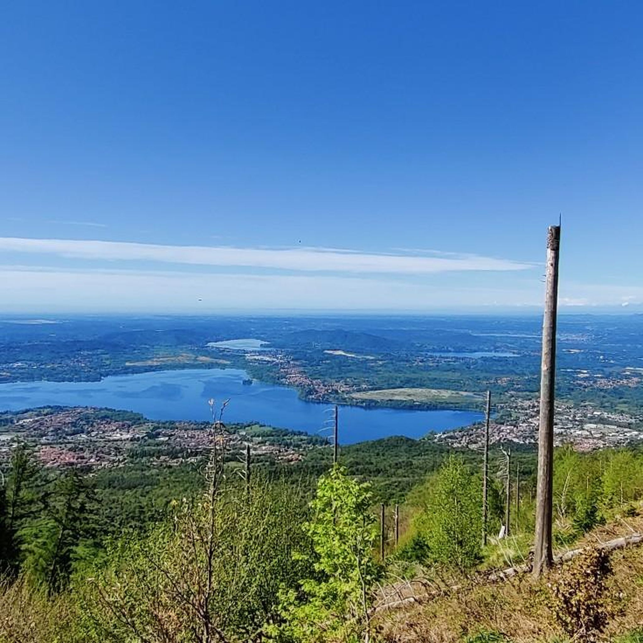
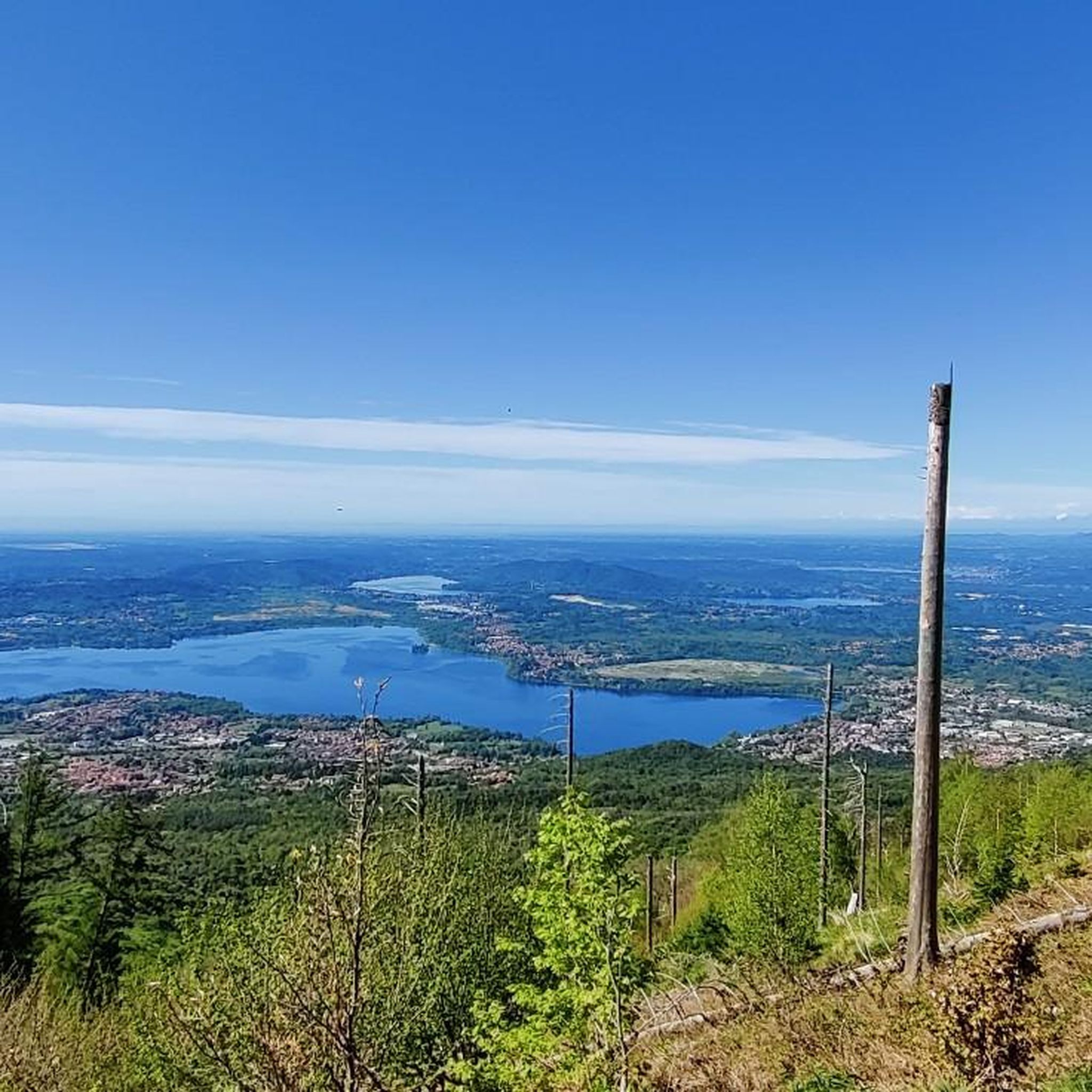
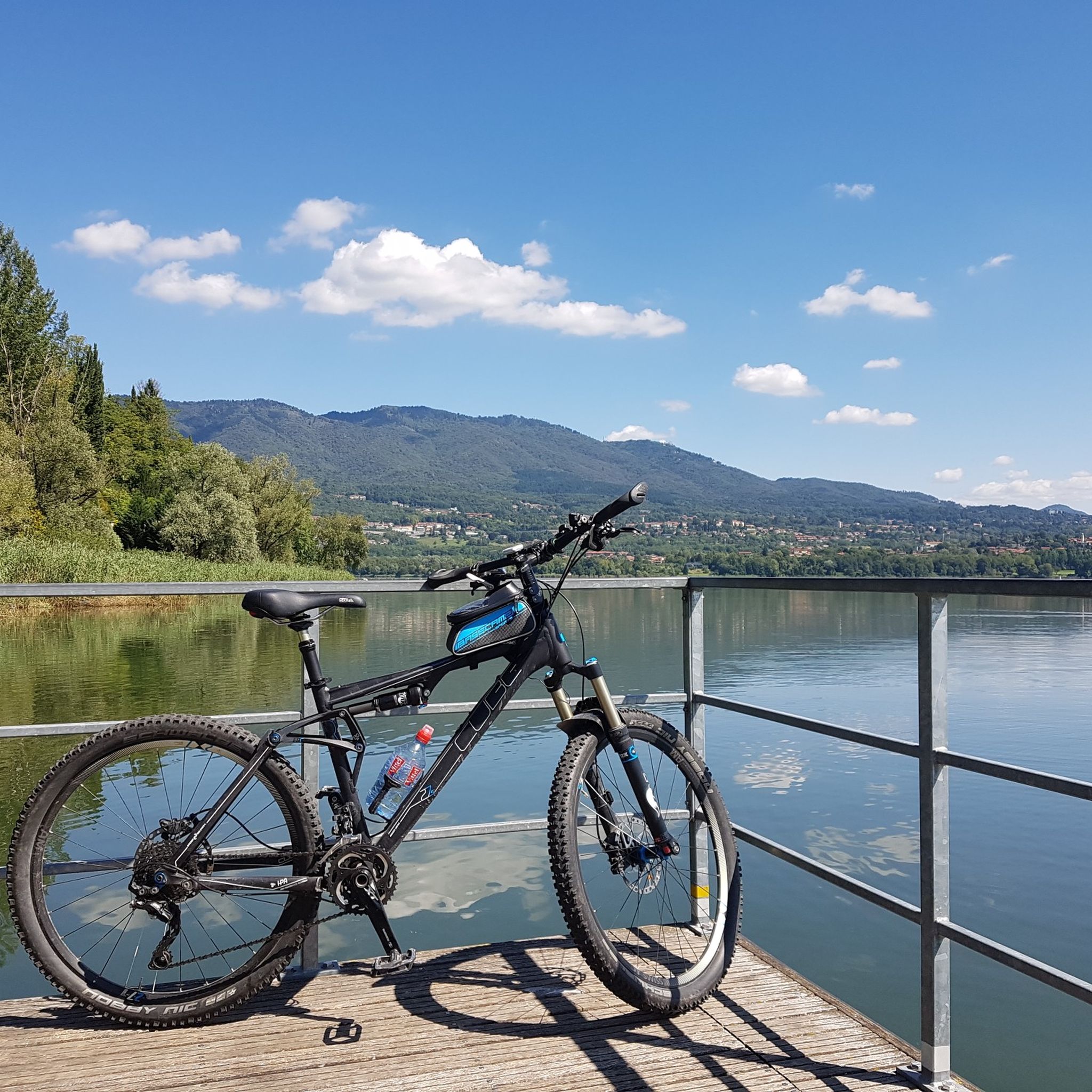

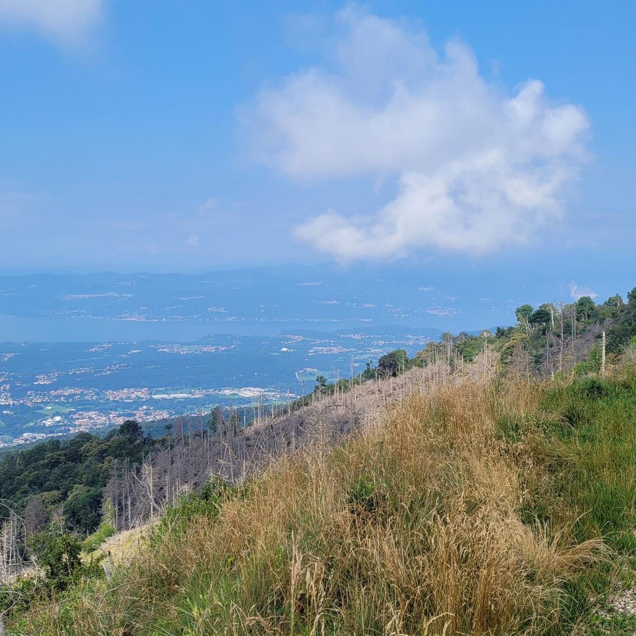
Tips from the Community

it's all in the shade, a great advantage today. The rains have messed up the trails a bit, but still fun.
0
0

Following path 10 and signs for Pian delle Noci, you reach the refuge. It's a challenging and bumpy climb. Once at the refuge, you descend towards the Gesiola spring and return to path 10 towards the Orino fortress.
1
0

Lots of insects, poorly maintained trails Beautiful place
1
0

Signpost from the truth
0
0

Beautiful route in the forest on a beautiful trail
0
0


Here you can immerse yourself in nature, savoring its scents, listening to its sounds and admiring its colours.
1
0
The path makes its way through a dense green forest. The surface is uneven, but the space is large.
1
0
Frequently Asked Questions
What kind of terrain can I expect when hiking in Comerio?
Comerio, known as the 'Paradise Between Mountains,' offers a diverse and often challenging terrain. You'll encounter dramatic hills, lush tropical forests, and winding rivers as part of the Cordillera Central mountain range. Expect significant elevation changes, with routes leading through verdant valleys and up to scenic viewpoints.
Are there hiking trails suitable for beginners or those looking for an easy walk?
Yes, Comerio offers options for various skill levels. For an easier experience, consider the Chignolo to Motta d'Oro Pond Loop. This route is 1.9 miles (3.0 km) long and provides a gentle exploration, typically completed in under an hour.
Where can I find scenic viewpoints or panoramic vistas in Comerio?
Comerio's mountainous landscape is rich with viewpoints. The journey to the Mirador Cerro La Tiza offers panoramic views of the valley. Additionally, the Cruz de Lazos (La Cruz de Monte Limón), located on one of the highest peaks in barrio Vega Redonda, provides expansive views from its elevated position. You can also find excellent vantage points near the historic El Salto Hydroelectric Dams, such as the Plaza-Mirador Represa El Salto.
Are there any hikes that feature waterfalls or natural swimming spots?
Absolutely. The region is abundant in water features. You can explore areas around Charco Las Pailas, a series of natural waterslides and pools on Comerío's Río Hondo, which makes for a refreshing destination. While direct hiking to its base might be limited, El Salto de Comerío is a prominent cascading waterfall that adds to the area's natural beauty.
What are some of the more challenging hiking options in Comerio?
For those seeking a challenge, the region's mountainous terrain provides strenuous routes. The Forte di Orino Trail from Comerio (via Route 312) is a moderate 6.8 miles (10.9 km) path with significant elevation gain, leading through demanding mountainous terrain. Another option is the Motta d'Oro Pond – View from Forte di Orino loop from Varese, which covers 12.6 km with substantial ascent.
Are there any unique natural features like canyons or caves to explore?
Yes, Comerio boasts unique geological formations. The Cañón Las Bocas, a vast 1,170-acre network of canyons between Comerio and Barranquitas, offers a rugged and adventurous hiking experience with cascading waterfalls and rivers. Additionally, the Cuevas de la Mora (La Mora Caves) are a system of eight caves containing pre-Columbian petroglyphs and pictographs, providing an opportunity for guided exploration that combines hiking with cultural discovery.
What do other hikers say about the trails in Comerio?
The hiking routes in Comerio are highly rated by the komoot community, with an average score of 4.2 stars from over 2480 reviews. More than 11,674 hikers have used komoot to explore Comerio's varied terrain, often praising the dramatic hills, lush forests, and winding rivers that define the area.
Are there any circular hiking routes available in Comerio?
Yes, there are circular routes for those who prefer to start and end in the same location. An example is the Forte di Orino - Monte Morto Loop from Comerio, which is 8.6 miles (13.8 km) long and takes you through varied mountain landscapes.
What is the best time of year to go hiking in Comerio?
Comerio, being part of the central mountain range, experiences a tropical, humid climate with cooler mountain temperatures compared to coastal areas. This makes it generally pleasant for hiking year-round. However, it's always advisable to check local weather forecasts, especially during the rainy season, to ensure optimal trail conditions.
Are there any natural monuments or peaks I can visit near Comerio?
Yes, there are several notable natural monuments and peaks nearby. You can explore highlights such as Cascata della Froda or the Valganna Waterfalls and Caves. For peaks, consider visiting View from Sasso del Ferro or the Monte Chiusarella — Summit and Summit Cross for impressive views.
How many hiking trails are available in the Comerio area?
There are over 19 hiking routes available around Comerio, offering a good variety for different preferences and skill levels. These include easy loops, moderate paths, and more challenging mountain ascents.
Most popular attractions around Comerio

Get inspired with the komoot mobile app


Explore more
Browse the best Hikes in other regions.
