The best running trails around Borno
4.5
(15)
856
runners
33
runs
Jogging routes Borno traverse a diverse landscape, from semi-desert Sahelian savanna in the north to West Sudanian savanna in the central and southern parts of the state. The region features the volcanic Biu Plateau, with an average elevation of 700m, and parts of the Mandara Mountains, offering varied terrain for running. Extensive areas like the Chad Basin National Park and the Sambisa Forest provide vast, natural settings for outdoor activities. These geographical features contribute to a range of running experiences…
Last updated: November 5, 2026
5.0
(1)
26
runners
16.9km
02:19
990m
990m
Hard run. Very good fitness required. Mostly paved surfaces.
17
runners
Hard run. Good fitness required. Sure-footedness, sturdy shoes and alpine experience required.

17
runners
13.7km
01:33
370m
370m
Hard run. Very good fitness required. Mostly paved surfaces.
14
runners
14.0km
01:55
820m
820m
Hard run. Very good fitness required. Mostly paved surfaces.
11
runners
10.8km
01:12
260m
260m
Moderate run. Good fitness required. Mostly paved surfaces.
Get access to more routes and recommendations from other explorers.
Already have an account?
Our route recommendations are based on thousands of hikes, rides, and runs completed by other people on komoot.
Start today with a free account
Your next adventure awaits.
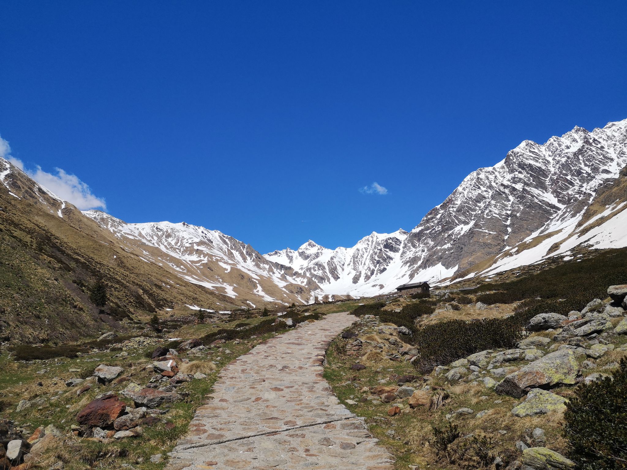
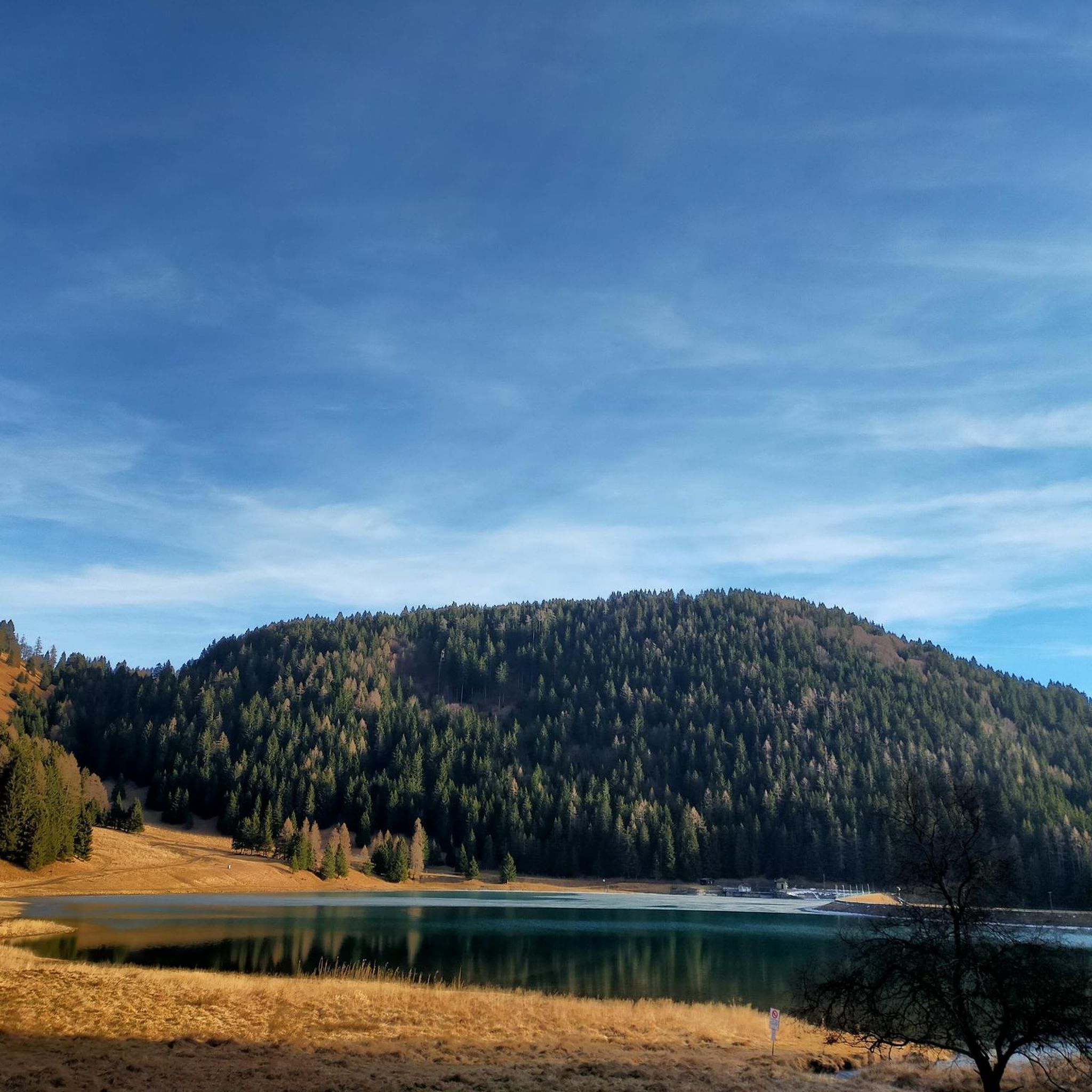
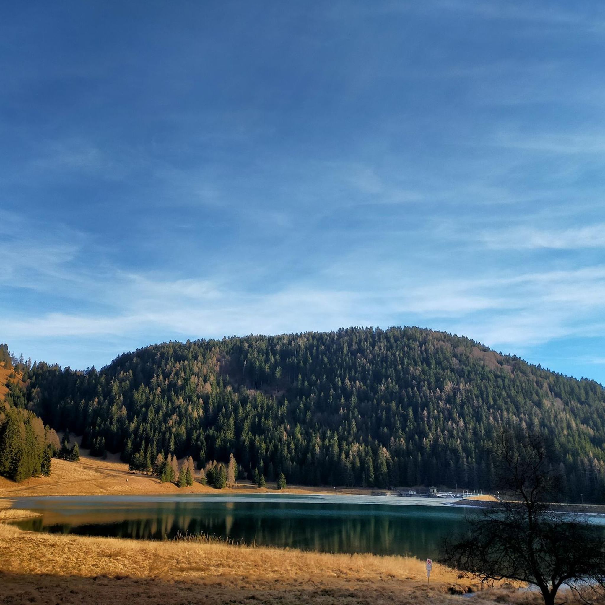
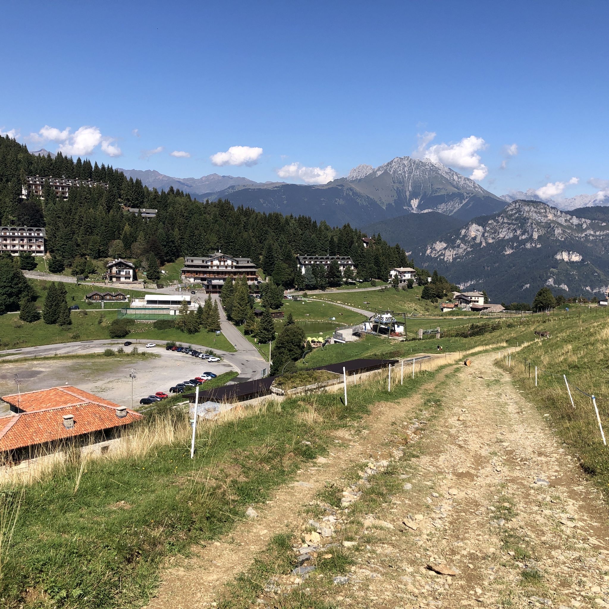


Other adventures around Borno

Tips from the Community

during one of my tours, I found myself in this pass, spectacular how at the end of summer everything is incredibly green
0
0

21-06-26 Borno Ski Arena : chairlift closed / refuge closed ...I do not agree with this choice even though work is planned for the renovation of the structures, in the official communications from the municipality it was clearly written that they would not affect the normal running of the services...
0
0

The Grotta del Monte Arano is a natural cave located along the paths connecting Lake Lova, the Varicla Basin, and the Laeng Hut, on the Borno side.
0
0
🏔️ Monte Altissimo (Val Camonica) — Identity and main characteristics Monte Altissimo is a mountain in the Bergamo Prealps, 1703 m high, located between the lower Val Camonica and the lower Val di Scalve. It is the highest peak in the mountain group that separates these two valleys and overlooks the Borno plateau. Two very different sides Southern side: steep, rocky, almost devoid of vegetation, with a difference in altitude of about 1500 m from the Oglio valley floor. Northern side: gentle slope towards Borno, covered with fir trees and dotted with mountain huts, chalets and ski slopes of the Borno Ski Area. 🚶♂️ Hiking — The main itineraries Monte Altissimo is very popular with hikers thanks to the good network of trails (difficulty E). Here are the best-known and documented routes. 1) From Erbanno – Trail 197 or 155 A steep and challenging itinerary, with a significant difference in altitude. Trail 197: Start: Erbanno (Darfo Boario Terme) Passes through: small church of San Valentino (690 m), Malga Mine, junction with trail 194 From the cross: spectacular view of the lower Val Camonica and Lake Iseo Summit reachable in 15 minutes from the final junction Trail 155 (more direct and strenuous): Difference in altitude: about 1460 m Steep sections, some chains on a slightly exposed traverse Remarkable panorama over the meadows of the “Segable” Arrival at the Monte Altissimo refuge and the ski lifts 2) From Gorzone – Trail 154 A wilder route on the south side, with a long and tough climb. 3) From Borno – North side (ski slope areas) A gentler and more panoramic itinerary, often chosen for loop tours that include refuges, mountain huts and small churches (as in your story). 🏞️ What makes Monte Altissimo special Sharp contrast between the two sides: one severe and rocky, the other gentle and wooded. Wide panoramas of the lower Val Camonica, Lake Iseo and Presolana. Network of mountain huts and chalets still active in summer. Presence of the Monte Altissimo refuge at the summit, also reached by ski lifts. Possibility of very varied loops, combining woods, slopes, ridges and small isolated churches.
0
0

Reachable from Borno, following a restored mule track with a concrete road surface (the last section is closed due to landslide restoration work with a signposted detour) with gradients of over 20%
0
0
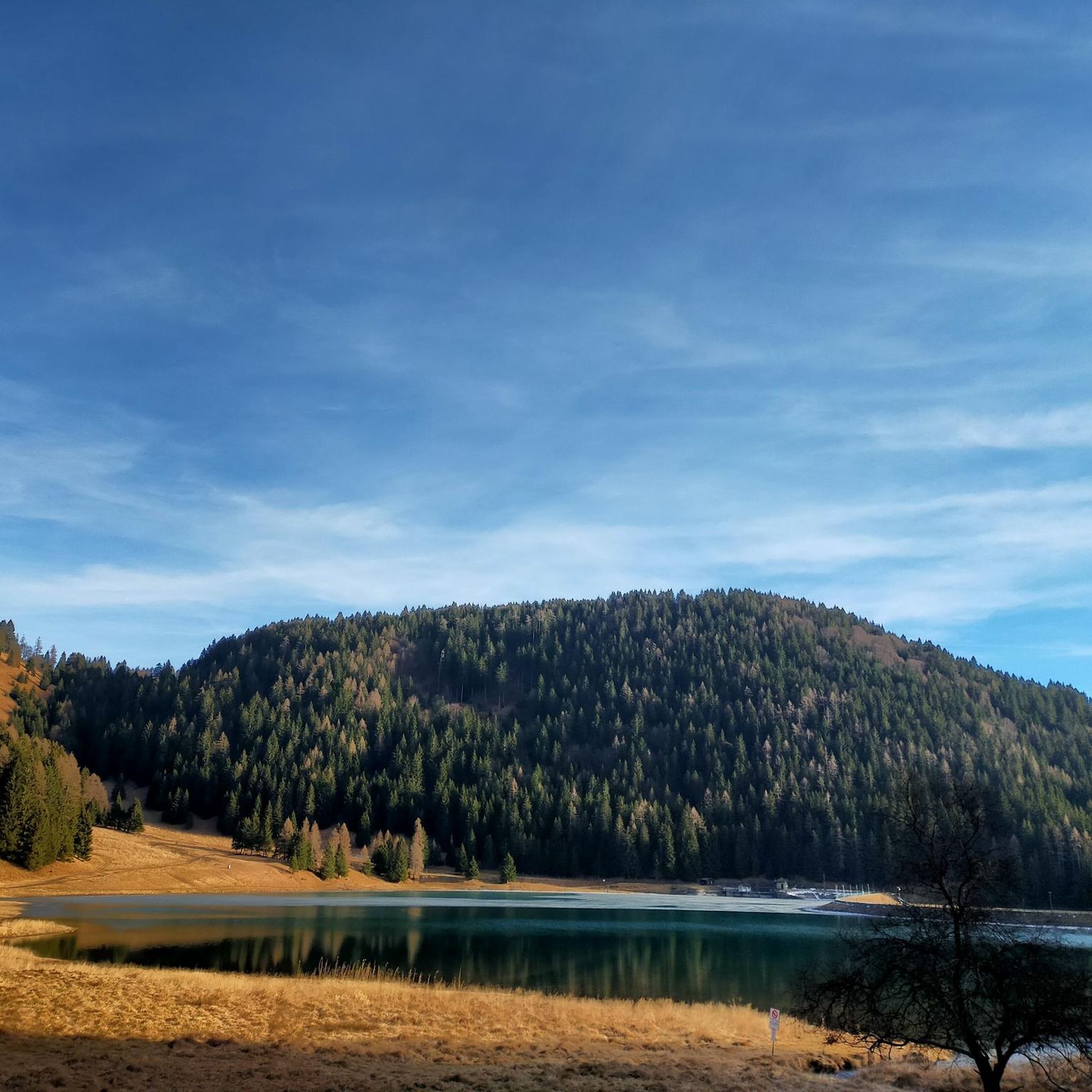
The Lova Dam is a hydroelectric facility built in 1935, forming Lake Lova above Borno in Val Camonica. It is constructed of embankments and an earth core, and has a capacity of approximately 80,000 cubic meters. This dam lies at an altitude of 1,293 meters, in a glacial basin between Pizzo Camino (2,491 m) and Monte Mignone (1,742 m). The reservoir collects the waters of the Lovareno stream, while the outflow is the San Fiorino stream, which flows downstream. From a technical perspective: Origin: Artificial, for hydroelectric purposes. Construction: Earth dam with partial linings. Central catchment area: approximately 2.6 km². Lake surface area: 0.133 km², 400 meters long and 300 meters wide. Today, the dam retains its original function, but is also an integral part of a popular hiking landscape. The resulting lake is nestled in a pre-Alpine environment, with spruce forests and pastures, and can be reached via well-marked trails from Borno, such as the one starting from the church of San Fiorino.
0
0
Lake Lova is a picturesque hiking destination located above Borno, on the Altopiano del Sole plateau in Val Camonica. It is appreciated for its alpine landscape, tranquility, and the variety of trails that surround it. The lake is located at approximately 1,392 meters above sea level and can be reached via several hiking trails, including the Sentiero della Memoria (Path of Remembrance) that starts from the church of San Fiorino in Borno. After a short paved stretch to the Trattoria Navertino, you take a dirt path that winds through larch and fir trees, with steep sections and slippery cobblestones. The hike is immersed in a natural environment typical of the Lombard Prealps. The hike is immersed in a natural environment typical of the Lombard Prealps, with natural fountains and good cell phone coverage. A longer alternative is the Monte Mignone – Lago di Lova circular hike, approximately 11.1 km long with an elevation gain of 837 meters, to be done counterclockwise. This route offers spectacular views and passes through pastures and woods, with the lake as its focal point. Lago di Lova is also a hub for other trails: from here, you can continue towards the Rifugio San Fermo or the Rifugio Laeng, following CAI trails 106 and 182. Parking is available near the lake, making it accessible even for less experienced hikers. From a scenic perspective, the lake is nestled in a green valley surrounded by woods and pastures, with calm waters reflecting the sky and surrounding mountains. It's an ideal destination in all seasons, but particularly captivating in autumn for the colors of the foliage.
2
0
Frequently Asked Questions
How many running routes are available around Borno?
There are over 35 dedicated running routes around Borno, offering a variety of experiences for different skill levels. The komoot community has mapped 36 routes in total, with options ranging from moderate to difficult.
What kind of terrain can I expect on jogging trails in Borno?
Jogging routes in Borno traverse a diverse landscape. You can expect to encounter semi-desert Sahelian savanna in the north, West Sudanian savanna in the central and southern parts, and rugged terrain in the volcanic Biu Plateau and parts of the Mandara Mountains. This includes elevated areas and mountainous sections, providing varied challenges.
Are there any easy jogging routes for beginners in Borno?
While many routes in Borno are rated as difficult, there are some moderate options available. For example, the Croce di Salven loop from Borno is a moderate 6.2-mile (10.0 km) trail that leads through elevated areas with panoramic views, offering a less strenuous option compared to the most challenging trails.
What are some scenic spots or landmarks I can see while running in Borno?
Borno offers several scenic spots. The Lago di Lova loop from Borno circles a serene crater lake, providing picturesque views. Other natural attractions in the wider region include the Biu Plateau, Mandara Mountains, and the vast landscapes of Chad Basin National Park. You might also encounter unique rock formations in areas like Guoza Hills.
What do other runners enjoy most about jogging in Borno?
The running routes in Borno are highly rated by the komoot community, with an average score of 4.4 stars from over 20 reviews. Runners often praise the challenging mountainous terrain, the scenic backdrops, and the diverse natural settings that offer a unique outdoor experience.
Are there any circular running routes in Borno?
Yes, many of the running routes in Borno are circular. Popular options include the challenging Rifugio San Fermo – Rifugio San Fermo (1,868 m) loop from Borno, the scenic Lago di Lova loop from Borno, and the moderate Croce di Salven loop from Borno.
What is the best time of year or day to go jogging in Borno?
Borno State has a hot and dry climate for most of the year. The most comfortable times for jogging would likely be during the cooler parts of the day, such as early mornings or late afternoons. The relatively short rainy season, which typically starts around June/July, might also offer milder conditions for outdoor activities.
Are there any long-distance running trails in Borno?
Yes, Borno offers several longer running trails. For instance, the Rifugio San Fermo – Rifugio San Fermo (1,868 m) loop from Borno is a substantial 10.5 miles (16.8 km) route with significant elevation gain, ideal for those seeking a longer and more challenging run.
Can I find trails suitable for wildlife spotting while jogging in Borno?
The vast landscapes of Chad Basin National Park, including the Sambisa Forest, offer potential for wildlife spotting. While jogging directly through dense wildlife areas might require specific permits or guided tours, the general region is known for its biodiversity, including black crowned cranes, spotted hyenas, and patas monkeys. For more information on the park, you can visit Wikipedia.
Are there any nearby attractions or points of interest close to the running routes?
Yes, there are several points of interest. For example, you can explore natural monuments like the Giant's Kettles of Valzurio or visit the Pagani Cave. Some routes might also pass near historical trails like the Old Via Mala Road and Tunnels, offering a blend of nature and history.
What are the options for parking or public transport access to jogging routes in Borno?
While specific parking and public transport details for each trail are not always available, many routes start from or near the town of Borno. For routes within urban areas like Maiduguri, such as Sanda Kyarimi Park or Unimaid Garden, local transport options would likely be available. For more remote trails, personal transportation might be necessary.
Are there any specific permits required for running in certain areas of Borno?
If you plan to jog within protected areas like the Chad Basin National Park or other designated reserves, it is advisable to inquire about specific permits or entry requirements beforehand. These areas are managed for conservation, and access might be regulated.
Most popular attractions around Borno

Get inspired with the komoot mobile app


Explore more
Browse the best Running Trails & Routes in other regions.
