The best MTB trails around Ossimo
4.4
(762)
4,881
riders
170
rides
Mountain biking around Ossimo offers diverse terrain within the Altopiano del Sole, characterized by extensive networks of dirt roads, forest paths, and mule tracks. The region features varied elevations, from gently sloping forest roads to challenging single trails reaching up to 2000 meters above sea level. This landscape includes woods, expansive meadows, and grazing pastures, providing a scenic backdrop for mountain bike routes. Ossimo is situated within the broader Valle Camonica, an area known for its natural beauty and historical…
Last updated: October 9, 2026
4.9
(23)
176
riders
105km
10:20
3,940m
3,940m
Hard mountain bike ride. Very good fitness required. Advanced riding skills necessary.
154
riders
34.8km
03:45
1,250m
1,250m
Hard mountain bike ride. Very good fitness required. Advanced riding skills necessary.

5.0
(1)
94
riders
56.9km
06:53
2,550m
2,550m
Hard mountain bike ride. Very good fitness required. Advanced riding skills necessary.
4.3
(15)
107
riders
36.5km
02:38
430m
430m
Moderate mountain bike ride. Good fitness required. Suitable for all skill levels.
4.0
(13)
75
riders
80.7km
06:15
1,350m
1,350m
Hard mountain bike ride. Very good fitness required. Suitable for all skill levels.
Get access to more routes and recommendations from other explorers.
Already have an account?
Our route recommendations are based on thousands of hikes, rides, and runs completed by other people on komoot.
Start today with a free account
Your next adventure awaits.

Tips from the Community

Maniva is a must, it crosses several interesting points where you can cycle at altitude
0
0
enchanting climb, almost always rideable without extreme sections
0
0


Beautiful tour with e-bike, with little portage below the 7 crocette and below the Tita Secchi (old refuge) to go to Pezzeda. Pay attention at the fork for Passo Croce, the path is barely visible. Shortly before reaching the pass, take the path to the right (which I missed) thus avoiding carrying the bike down the rocks.
0
0

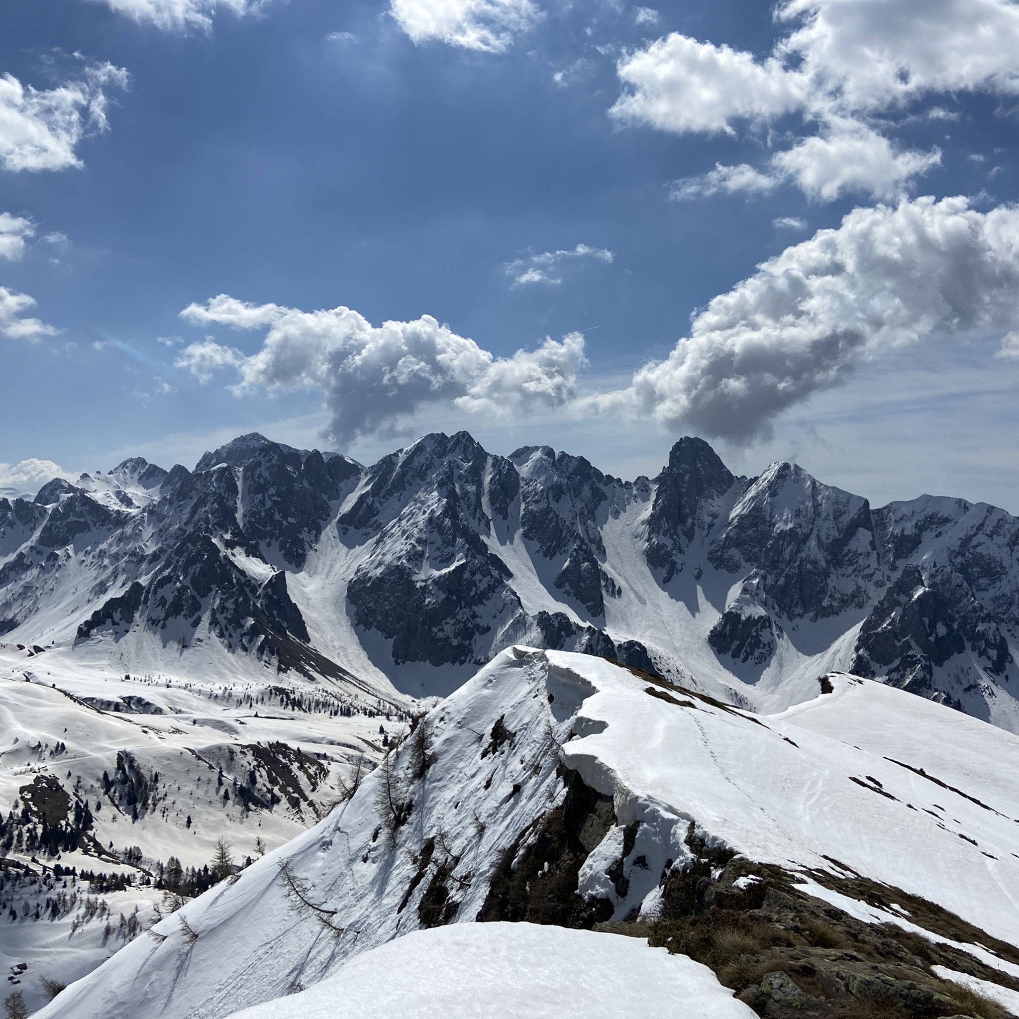
Breathtaking panorama, with a sunny day it's fantastic!
0
0

By train to Edolo and then by bike up to Ponte di legno. The next day, departure in four stages to Mantua. Beautiful cycle path. Recommended
0
0

It is a grassy saddle located on the ridge of the Costone, just above the Croce del Costone and before the terrain becomes rockier towards the Pale di San Fermo. It is a transit point, not a summit, but it is very scenic and represents an important junction for various itineraries.
0
0
Frequently Asked Questions
How many mountain bike trails are available around Ossimo?
The Ossimo area, nestled in the Altopiano del Sole, offers a wide selection of mountain bike trails. There are over 170 routes available, catering to various skill levels.
What kind of terrain can I expect on mountain bike trails in Ossimo?
Mountain biking in Ossimo features diverse terrain, including extensive networks of dirt roads, forest paths, and mule tracks. You'll encounter varied elevations, from gently sloping forest roads to challenging single trails reaching up to 2000 meters above sea level. The landscape is rich with woods, expansive meadows, and grazing pastures, providing a scenic backdrop for your rides.
What is the overall difficulty level of mountain biking in Ossimo?
Ossimo offers a good mix of difficulties. While there are 16 easy routes, the majority of trails are more challenging, with 72 moderate and 90 difficult routes. This means there are options for both casual riders and those seeking a more demanding experience.
Are there any family-friendly mountain bike trails near Ossimo?
Yes, the Altopiano del Sole region, where Ossimo is located, offers gently sloping forest roads and dedicated routes suitable for families and beginners. For example, the Valle Camonica Cycle Path – Ponte di Cividate Camuno loop from Cividate-Malegno is an easy route that provides a pleasant experience for all skill levels.
Can I bring my dog on the mountain bike trails in Ossimo?
Generally, dogs are welcome on many outdoor trails in Italy, especially on forest paths and dirt roads. However, it's always best to keep them on a leash, especially in areas with livestock or wildlife, and to check for specific local regulations or signage on individual trails. Always ensure your dog is well-behaved and that you clean up after them.
Are there circular mountain bike routes available in Ossimo?
Yes, many of the mountain bike routes around Ossimo are designed as loops, allowing you to start and end in the same location. Examples include the challenging Maniva Pass – Passo Crocedomini loop from Cividate-Malegno and the scenic Mount Mignone – Lake Lova loop from Valle Lovareno.
What natural features or landmarks can I see while mountain biking around Ossimo?
The Ossimo area is rich in natural beauty and historical significance. You can explore picturesque woods, expansive meadows, and grazing pastures. The broader Valle Camonica is renowned for its ancient rock art sites. You might also encounter stunning mountain views, including peaks like Pizzo Camino. Notable attractions include Lova Lake and various mountain passes like Vivione Pass.
Are there any lakes or waterfalls accessible by mountain bike in the Ossimo area?
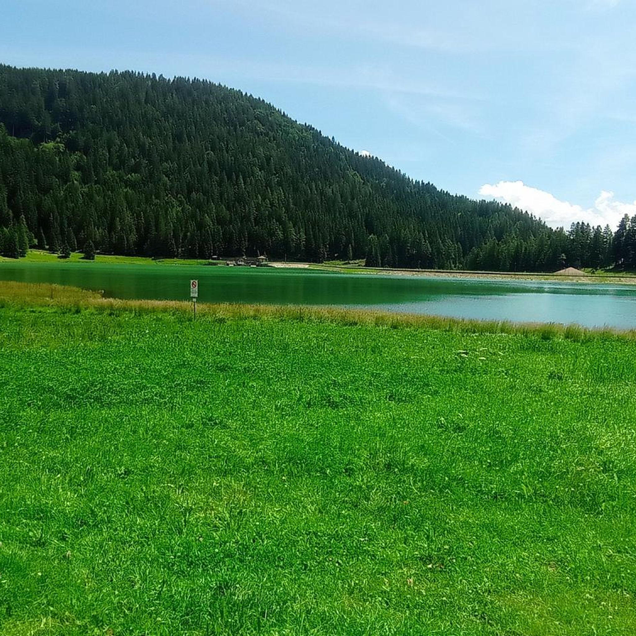
Yes, the region features several beautiful lakes. Lova Lake is a prominent natural feature often included in mountain bike loops, such as the Mount Mignone – Lake Lova loop from Valle Lovareno. You can also find Lake Moro and the impressive Gleno Dam and Lake nearby. While specific waterfalls are not detailed for bike access, the diverse terrain and hiking trails in the region often lead to such natural wonders.
What is the best time of year for mountain biking in Ossimo?
The best time for mountain biking in Ossimo is typically from spring through autumn. During these seasons, the weather is generally mild, and the trails are clear of snow, offering optimal conditions for riding. Summer provides warmer temperatures, while spring and autumn offer cooler rides and vibrant scenery. Always check local weather forecasts before heading out.
What do other mountain bikers say about the trails around Ossimo?
The mountain bike trails around Ossimo are highly regarded by the komoot community, boasting an average rating of 4.5 stars from over 650 reviews. Riders frequently praise the varied terrain, from challenging single tracks to scenic forest roads, and the stunning natural beauty of the Altopiano del Sole and Valle Camonica.
Are there places to eat or stay near the mountain bike trails in Ossimo?
Yes, the Altopiano del Sole region, including Ossimo, is well-equipped with amenities for visitors. You can find refreshment points along some trails, and various cafes, pubs, and accommodation options are available in Ossimo and surrounding villages. These establishments cater to outdoor enthusiasts, providing convenient stops for food, drinks, and overnight stays.
Where can I find parking for mountain biking in Ossimo?
Parking is generally available in and around Ossimo, particularly in the villages and near popular trailheads. Many routes, especially those starting from towns like Cividate-Malegno or Valle Lovareno, will have designated parking areas. It's advisable to check specific starting points for detailed parking information.
Is public transport an option to reach mountain bike trails in Ossimo?
While Ossimo is nestled in a mountainous region, public transport options like local buses may connect the main towns in Valle Camonica. However, direct access to specific trailheads via public transport might be limited. Bringing your own vehicle or renting one is often the most convenient way to access the diverse network of mountain bike trails.
Most popular routes around Ossimo
Most popular attractions around Ossimo

Get inspired with the komoot mobile app


Explore more
Browse the best MTB trails in other regions.
