The best road cycling routes around Torre Di Santa Maria
4.2
(71)
4,311
riders
76
rides
Road cycling around Torre Di Santa Maria is characterized by its Alpine setting within the Valmalenco valley, offering diverse terrain for cyclists. The region features winding mountain roads, paved surfaces, and significant elevation changes, set against a backdrop of peaks like Mount Disgrazia. Cyclists encounter a mix of challenging ascents and valley paths, primarily on paved roads. The landscape includes river valleys and high-altitude areas, providing varied road cycling experiences.
Best road cycling routes around Torre Di Santa Maria
- The…
Last updated: May 26, 2026
4.5
(2)
76
riders
36.4km
02:29
1,200m
1,200m
Hard road ride. Very good fitness required. Some segments of this route may be unpaved and difficult to ride.
4.0
(1)
29
riders
23.1km
01:32
700m
700m
Moderate road ride. Good fitness required. Mostly well-paved surfaces and easy to ride.

Sign up for free
5.0
(1)
15
riders
89.4km
06:24
3,080m
3,080m
Hard road ride. Very good fitness required. Some segments of this route may be unpaved and difficult to ride.
27
riders
26.2km
01:43
760m
760m
Moderate road ride. Good fitness required. Mostly well-paved surfaces and easy to ride.
8
riders
18.5km
01:22
680m
670m
Moderate road ride. Good fitness required. Mostly well-paved surfaces and easy to ride.
Get access to more routes and recommendations from other explorers.
Sign up for free
Already have an account?
Our route recommendations are based on thousands of hikes, rides, and runs completed by other people on komoot.
Start today with a free account
Your next adventure awaits.
Login or Signup
Popular around Torre Di Santa Maria
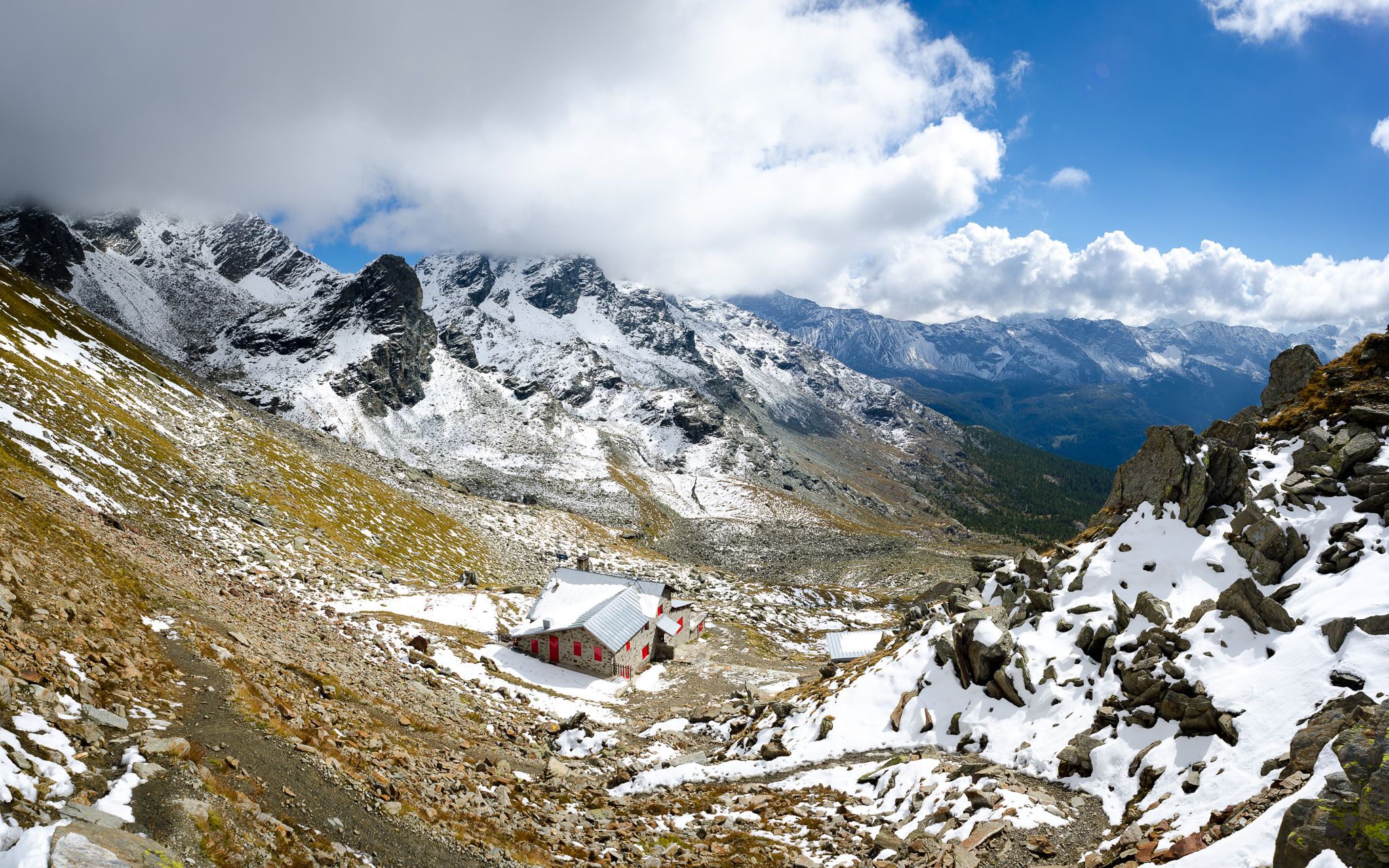
At the foot of the Bernina – Alta Via della Valmalenco
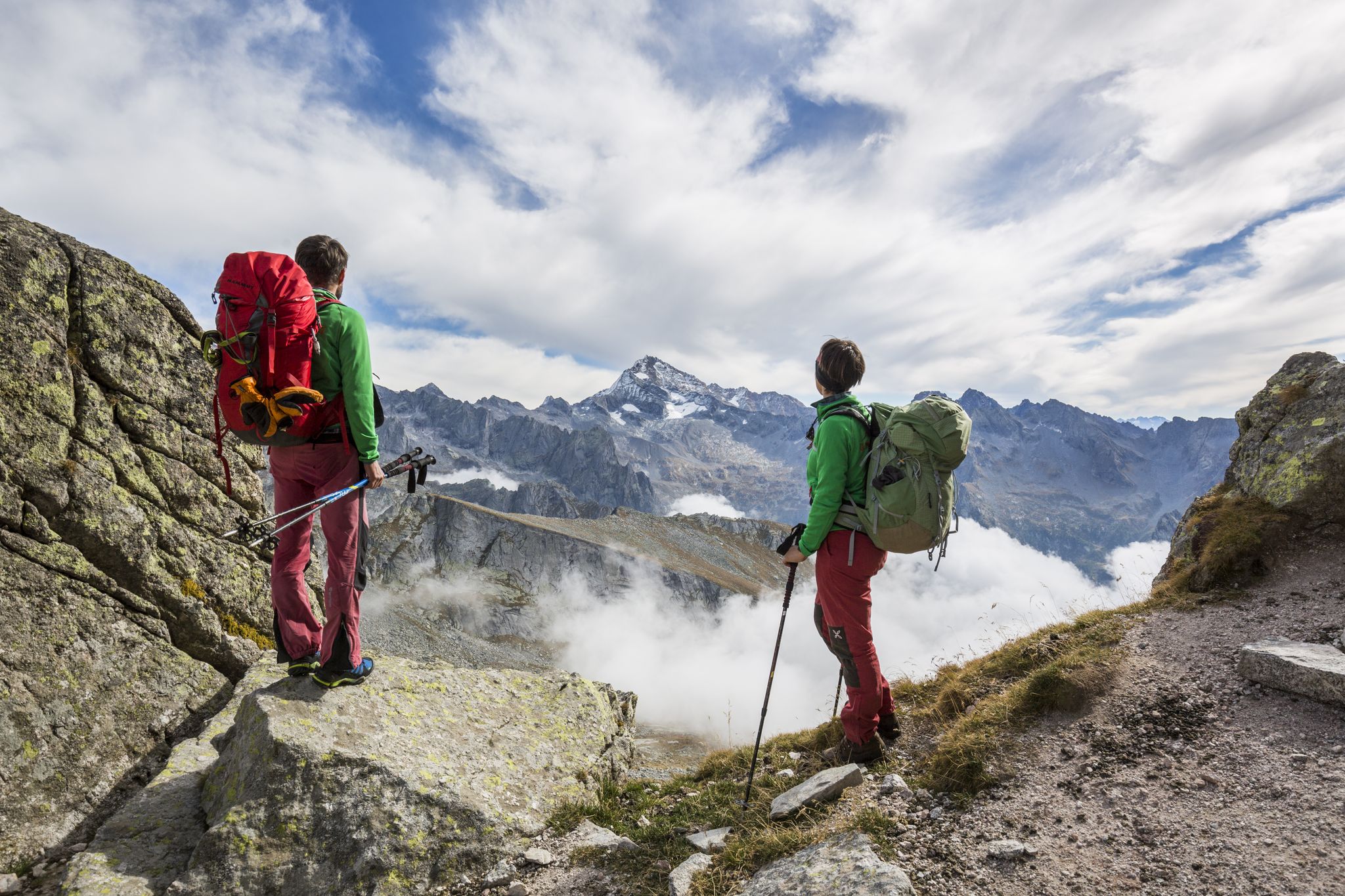
Alte Vie in Valtellina: pura natura alpina
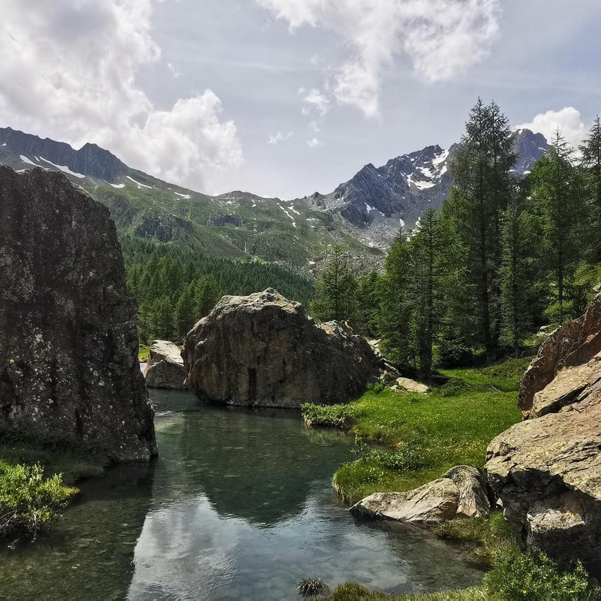
MTB Trails around Torre Di Santa Maria
Cycling around Torre Di Santa Maria
Hiking around Torre Di Santa Maria
Running Trails around Torre Di Santa Maria

Gravel biking around Torre Di Santa Maria

Mountain Hikes around Torre Di Santa Maria
Other adventures around Torre Di Santa Maria


Tips from the Community

An excellent stop to refresh yourself after an excursion before getting back in the car.
0
0

Quiet village completely immersed in the mountains and with excellent refreshment points
0
0

huge parking, quite crowdy but ok to stop there and start your adventure
0
0

Starting point for wonderful excursions, equipped with several parking lots.
0
0

Small historic village in Valmalenco.
0
0

Arriving to the end of the asphalt road you can see some wonderful mountain huts, numerous hiking trails start here.
0
0
First of the two Campo Moro dams, which contain the water coming from the Fellaria glacier and use it for hydroelectric production. The work in itself is impressive and even more so with the backdrop of the Fellaria glacier and the Bernina.
0
0
An excellent refuge where you can taste local products after the tiring climb that leads up to here.
1
0
Frequently Asked Questions
What kind of terrain can I expect on road cycling routes in Torre Di Santa Maria?
Road cycling in Torre Di Santa Maria primarily features paved surfaces, winding mountain roads, and significant elevation changes. You'll encounter a mix of challenging ascents, steep gradients, and hairpins, as well as paths through valley floors, all set against a dramatic Alpine backdrop.
How challenging are the road cycling routes in Torre Di Santa Maria?
The routes in Torre Di Santa Maria offer options for various skill levels. While there are moderate climbs, many routes are considered difficult, featuring substantial elevation gains. For example, the Chiesa in Valmalenco to Campo Moro Dam Climb involves over 3,900 feet (1,190 meters) of elevation gain, and The breathtaking climbs of Valmalenco covers 55.6 miles (89.4 km) through challenging mountain terrain.
What natural features or landmarks can I see while road cycling in Valmalenco?
The Valmalenco area offers stunning natural beauty. You can enjoy views of majestic peaks like Mount Disgrazia, the picturesque Val di Mello Nature Reserve, and the beautiful Val di Mello River. Notable landmarks include the impressive Alpe Gera Dam. Along some routes, you might also encounter highlights such as Piani di Fora or the Mallero Stream and Old Stone Bridge.
Are there any waterfalls visible from road cycling routes in the area?
Yes, the region is home to several beautiful waterfalls. While cycling, you might catch glimpses of natural cascades. Specific highlights include the Malenco Glacier Waterfalls and the Briglie Waterfalls of San Giuseppe, offering scenic stops or views from nearby paths.
When is the best time of year for road cycling in Torre Di Santa Maria?
The Valmalenco area, including Torre Di Santa Maria, sees a high volume of riders in June, suggesting this is a popular and favorable time. Generally, the warmer months from late spring to early autumn would offer the most pleasant conditions for road cycling in this Alpine region, avoiding snow and ice at higher elevations.
Are there any family-friendly road cycling options in Torre Di Santa Maria?
While many routes in the immediate vicinity of Torre Di Santa Maria feature significant climbs, the broader Valmalenco region offers more accessible options. The Sentiero Valtellina, a pedestrian and cycle path along the River Adda, provides a relatively flat stretch from Sondrio to Castello dell’Acqua, which is generally suitable for all skill levels and families.
What do other road cyclists enjoy most about road cycling in Torre Di Santa Maria?
The area is highly rated by the komoot community, with an average score of 4.4 stars from over 70 reviews. Cyclists often praise the breathtaking Alpine scenery, the challenging ascents, and the diverse terrain that provides a rewarding experience. The stunning views, especially from routes like Climb from Chiesa in Valmalenco to Chiareggio, are frequently highlighted.
Are there any circular road cycling routes available?
Yes, the region offers several loop tours for road cyclists. Examples from the wider Valmalenco area include the 'Chiareggio and Chiesa in Valmalenco Loop' and the 'From Chiesa in Valmalenco to Sondrio – loop tour,' which provide varied experiences and return to the starting point.
Can I rent bikes or e-bikes in the Torre Di Santa Maria area?
Yes, the Valmalenco region, including areas around Torre Di Santa Maria, offers services like bike and e-bike rentals. This makes it accessible for visitors who prefer not to bring their own equipment or wish to try an e-bike for the more challenging climbs.
Are there any specific viewpoints along the road cycling routes?
Many routes offer spectacular viewpoints due to the Alpine setting. The Alpe Gera Dam provides expansive views, especially from above. Additionally, specific highlights like Big Bench No. 182, Sondrio — View over the Valtellina Valley, located along the Sentiero Valtellina, offer panoramic vistas of the surrounding landscape.
How many road cycling routes are available around Torre Di Santa Maria?
There are over 60 road cycling routes available around Torre Di Santa Maria, catering to various difficulty levels. This includes 4 easy routes, 37 moderate routes, and 23 difficult routes, ensuring options for different preferences and fitness levels.
What are some moderate road cycling routes in the area?
For those seeking a moderate challenge, routes like Climb from Chiesa in Valmalenco to Chiareggio are popular. This route covers 14.4 miles (23.1 km) with a climb of over 2,300 feet (700 meters) through the scenic Valmalenco landscape. Another option is From Chiesa in Valmalenco to Campo Franscia.
Most popular routes around Torre Di Santa Maria
Most popular attractions around Torre Di Santa Maria

Get inspired with the komoot mobile app


Explore more
Browse the best Road cycling routes in other regions.
