The best MTB trails around Thörlingen
4.6
(1591)
4,035
riders
264
rides
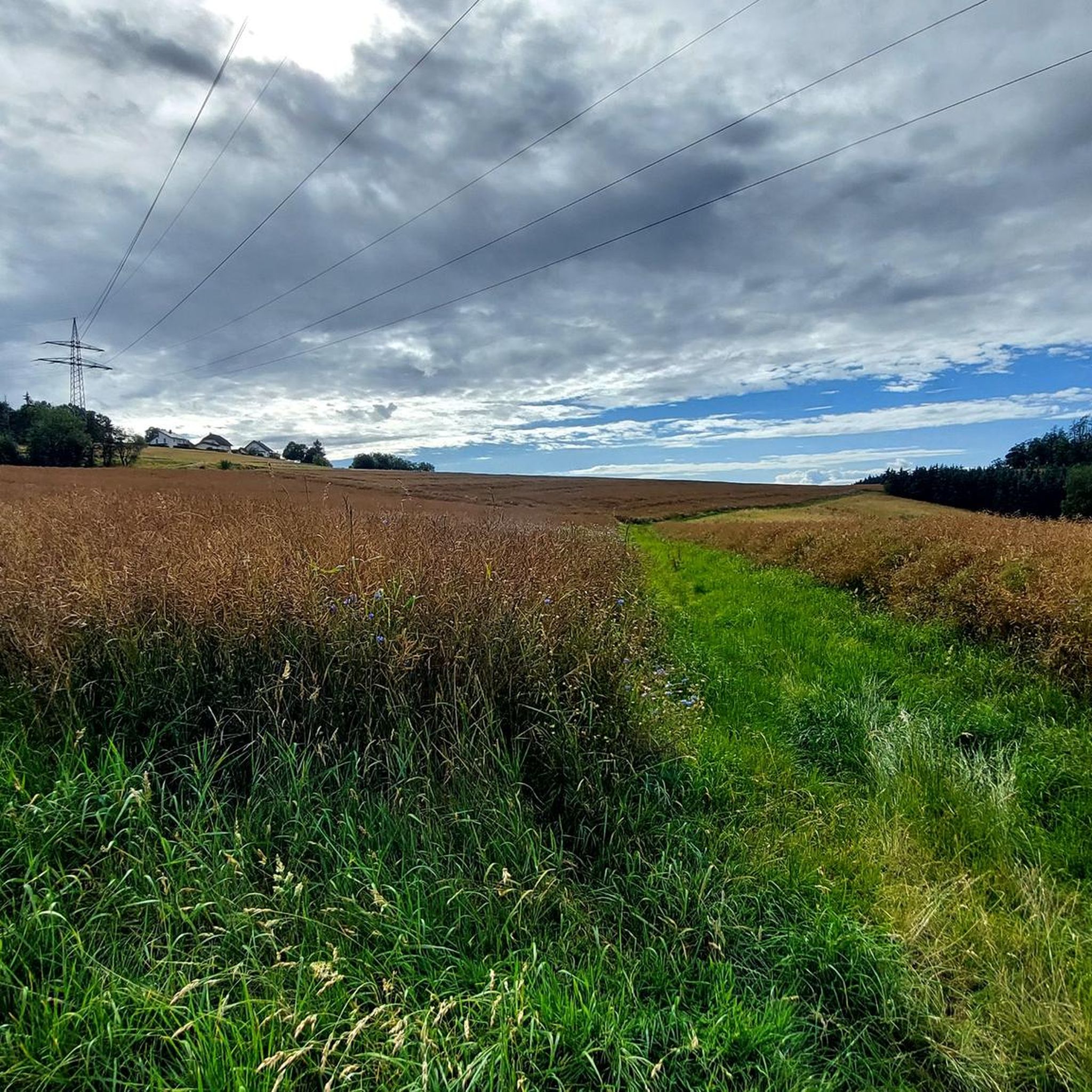
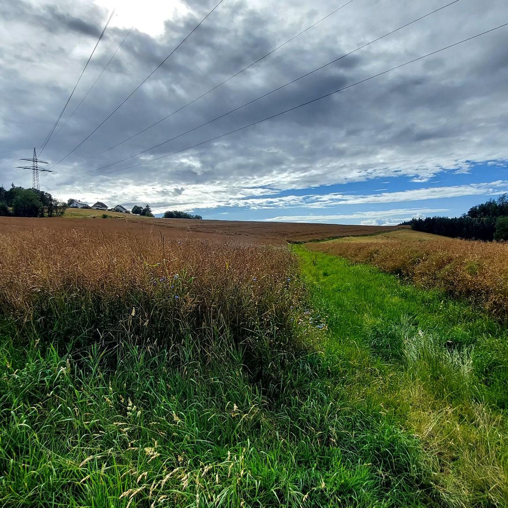
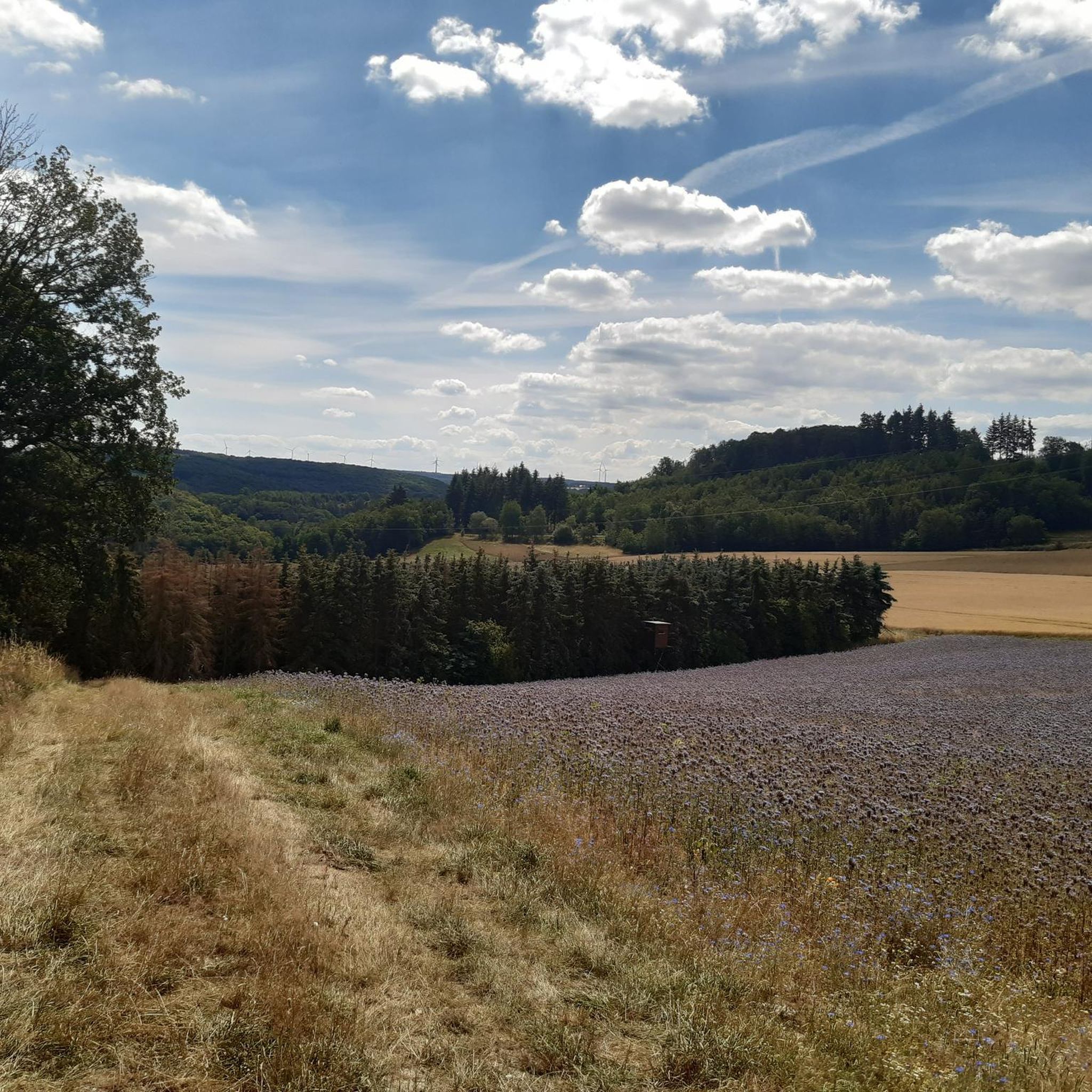
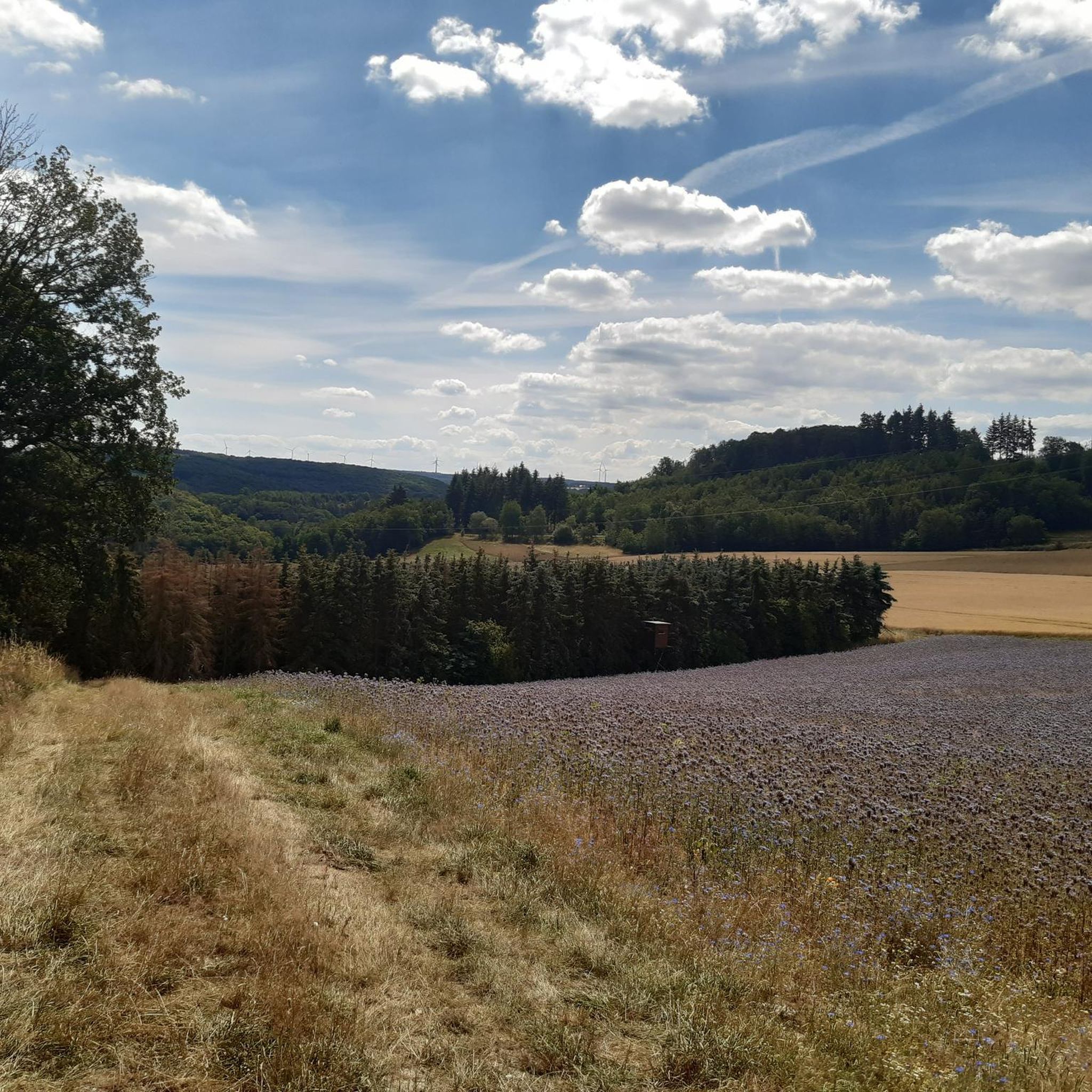
Mountain biking around Thörlingen offers diverse terrain within Germany's Rhine-Hunsrück district. The region is characterized by rolling hills and dense forests, providing varied landscapes for outdoor pursuits. Mountain bike trails often traverse quiet stream valleys and open paths, with some routes offering distant views over the Hunsrück and into the Eifel. This area serves as a base for exploring the wider Hunsrück region, known for its natural beauty.
Best mountain bike trails around Thörlingen
- The most popular mountain bike trail is Strieders Mühle Trail – Sevenicher Bauernmühle loop from Emmelshausen, Parkplatz Scheid, a 22.7 miles (36.5 km) trail that takes 3 hours 28 minutes to complete. This difficult route explores the forested landscapes and valleys around Emmelshausen.
- Another top favourite among local mountain bikers is Bikepark Boppard – Boppard Bike and Dirt Park loop from Emmelshausen, a moderate 23.8 miles (38.3 km) path. This route incorporates features of the Boppard Bike and Dirt Park, offering varied terrain for mountain biking.
- Local mountain bikers also love the Forest Shelter Hunsrück – Holzbachtal loop from Emmelshausen, a 24.6 miles (39.6 km) trail leading through forest sections and the Holzbachtal valley, often completed in about 3 hours 50 minutes.
- Mountain biking around Thörlingen is defined by rolling hills, dense forests, and stream valleys. The network offers options for easy, moderate, and difficult routes, catering to different ability levels.
- The routes in Thörlingen are highly rated by the komoot community with an average score of 4.6 stars from more than 1,400 reviews. More than 3,800 mountain bikers have used komoot to explore Thörlingen's varied terrain.
Last updated: August 10, 2026
4.6
(35)
174
riders
Hard mountain bike ride. Good fitness required. Advanced riding skills necessary. Some portions of the route may require you to push your bike.
4.6
(36)
166
riders
Hard mountain bike ride. Good fitness required. Advanced riding skills necessary. Some portions of the route may require you to push your bike.

Sign up for free
4.4
(27)
98
riders
37.3km
03:20
790m
790m
Moderate mountain bike ride. Good fitness required. Advanced riding skills necessary.
4.4
(9)
88
riders
39.6km
03:50
830m
830m
Moderate mountain bike ride. Good fitness required. Advanced riding skills necessary.
4.8
(44)
56
riders
58.0km
03:29
550m
550m
Moderate mountain bike ride. Good fitness required. Advanced riding skills necessary.
Get access to more routes and recommendations from other explorers.
Sign up for free
Already have an account?
Our route recommendations are based on thousands of hikes, rides, and runs completed by other people on komoot.
Start today with a free account
Your next adventure awaits.
Login or Signup
Tips from the Community

Not a destination, but the singletrack is flowy and then a few picturesque spots are always welcome.
0
0
great trails with views
0
0

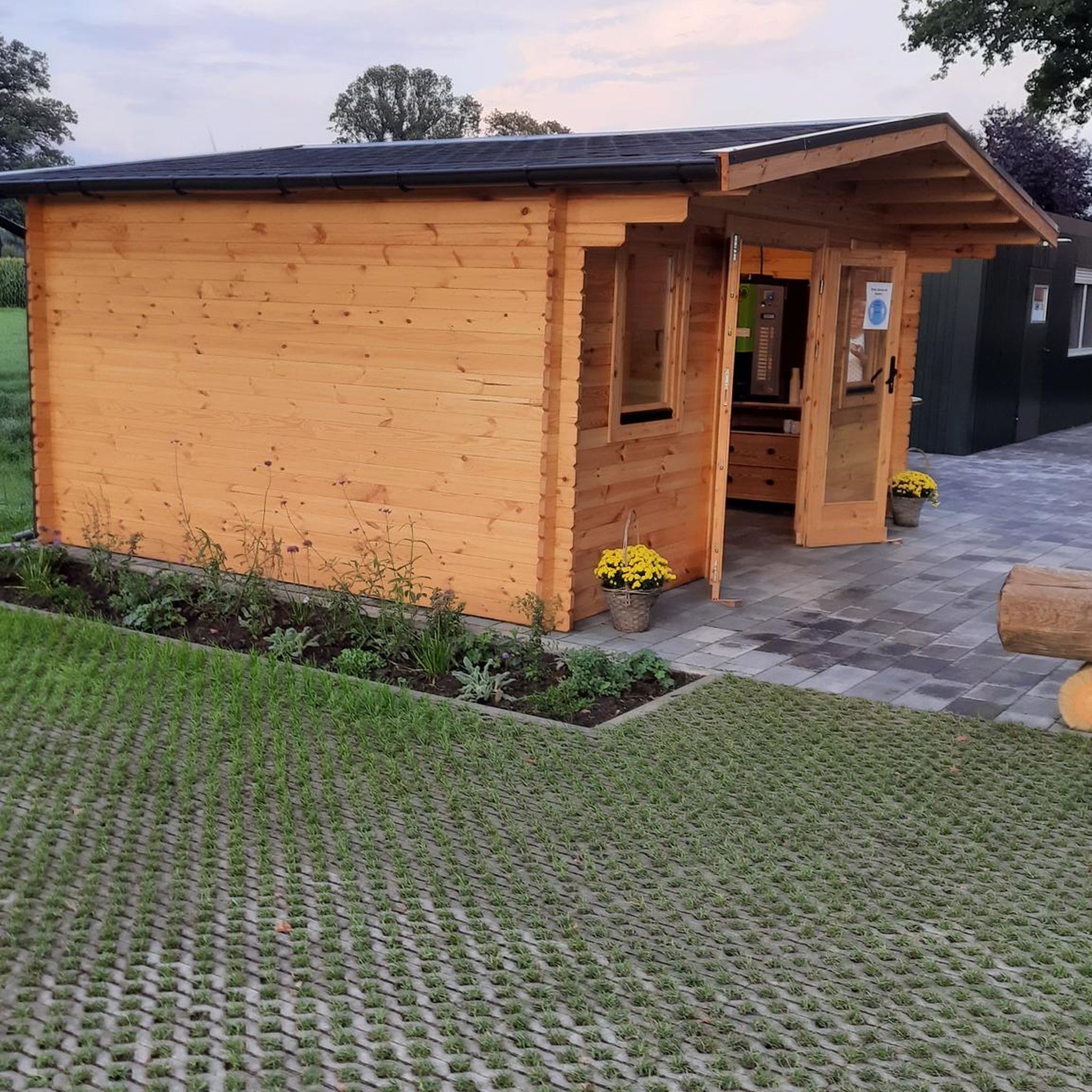
Very nice spot for the barbecue hut
0
0

Shelter on the way to the Erbach Valley.
0
0

There are often beautiful views along the entire cycle path. Here, the view is particularly good
0
1

Beautiful cycle path highly recommended
0
0

Large square with many rest areas
0
0

user avatar 🇺🇦Uwe 🏃♂️1098🏍 Water towers are used to keep a large amount of process water available for the steam engine of steam locomotives. The water is filled using water cranes, which are set up at the stopping point of the steam locomotives. The typical capacity of small railway water towers is around 100 m³, which can be used to fill around five to ten tenders of small locomotives. This can be experienced in the Harz Mountains on the narrow-gauge railways. The Pfalzfeld water tower is 18 meters high. The foundation has a diameter of 8.50m and the water tank has a diameter of 6.60m. The height of the water tank is 3.50m. In Pfalzfeld there were 2 water cranes on the right and left at the end of the platforms. The fresh water supply came from a spring above the station complex. In winter, the tower was heated by a guard to prevent the water from freezing. The water supply system in Pfalzfeld has been shut down since 1960 and the cranes were dismantled around the same time. Source: hunsrueck-mittelrhein.de/a-wasserturm-pfalzfeld
1
0
Frequently Asked Questions
How many mountain bike trails are available around Thörlingen?
There are over 270 mountain bike routes around Thörlingen, offering a wide range of options for different skill levels. This includes 41 easy, 192 moderate, and 43 difficult trails.
What are the typical difficulty levels for mountain biking in the Thörlingen area?
Mountain biking around Thörlingen offers a mix of difficulty levels. You'll find routes ranging from easy, suitable for beginners, to moderate and difficult trails that challenge experienced riders. The terrain often features rolling hills, dense forests, and stream valleys, contributing to varied riding experiences.
Are there any family-friendly mountain bike trails near Thörlingen?
While the guide highlights several moderate and difficult routes, the region's diverse terrain includes easier paths suitable for families. Look for routes categorized as 'easy' on komoot, which often traverse less challenging forest sections and open paths, providing a pleasant experience for all ages.
Can I find circular mountain bike routes in Thörlingen?
Yes, many mountain bike routes around Thörlingen are designed as circular loops. For example, the View of the Hunsrück – Pfalzfeld Water Tower loop from Gondershausen is a moderate 32.5 km circular trail that offers scenic views.
What kind of natural features or viewpoints can I expect on the trails?
The trails around Thörlingen are characterized by rolling hills, dense forests, and quiet stream valleys. Many routes offer expansive views over the Hunsrück region and into the Eifel. Specific viewpoints like "Eifelblick - Traumschleife Oberes Baybachtal" and "Eifelblick am Schessels Beersche" are notable in the wider region, providing stunning panoramic vistas.
Are there any bike parks or dedicated mountain biking facilities nearby?
Yes, the area around Thörlingen includes dedicated facilities. For instance, the Bikepark Boppard – Boppard Bike and Dirt Park loop from Emmelshausen incorporates features of the Boppard Bike and Dirt Park. You can also find highlights like the Dirt Park Emmelshausen for specific mountain biking challenges.
What do other mountain bikers say about the trails in Thörlingen?
The mountain bike routes in Thörlingen are highly rated by the komoot community, with an average score of 4.6 stars from over 1,400 reviews. Riders often praise the varied terrain, the peaceful forest sections, and the scenic views over the Hunsrück and Eifel regions.
What are some notable landmarks or attractions to explore near the mountain bike trails?
Beyond the trails, the region offers several historical and natural attractions. You can explore impressive castles such as Ehrenburg Castle or the Waldeck Castle Ruins. There are also scenic viewpoints like the View of the Rauschenburg castle ruins from Peterslay, offering glimpses into the area's rich history and natural beauty.
Are there any mountain bike trails that pass by pubs or cafes?
While specific routes passing directly by pubs or cafes are not detailed in the guide, the wider Hunsrück region is known for its hospitality. Many villages near the trails, such as Emmelshausen, offer opportunities to find local eateries and pubs for refreshments after your ride.
What is the best time of year for mountain biking around Thörlingen?
The region's dense forests and stream valleys make it enjoyable for mountain biking across multiple seasons. Spring offers lush greenery, while autumn provides vibrant foliage. Summer is ideal for longer rides, and some trails may even be accessible in milder winter conditions, though checking local trail conditions is always recommended.
Are there any advanced or difficult mountain bike trails in the area?
Yes, for experienced riders seeking a challenge, there are 43 difficult mountain bike trails around Thörlingen. An example is the Strieders Mühle Trail – Sevenicher Bauernmühle loop from Emmelshausen, Parkplatz Scheid, a challenging 36.5 km route that explores forested landscapes and valleys.
Is it possible to reach the mountain bike trails using public transport?
While Thörlingen itself is a smaller village, the broader Hunsrück region has some public transport connections. For specific trailheads, it's advisable to check local bus schedules or consider starting points in larger towns like Emmelshausen, which may have better public transport links to the surrounding trail networks.
Most popular routes around Thörlingen
Most popular attractions around Thörlingen

Get inspired with the komoot mobile app


Explore more
Browse the best MTB trails in other regions.
