The best mountain hikes around Chiuro
5.0
(4)
40
hikers
3
hikes
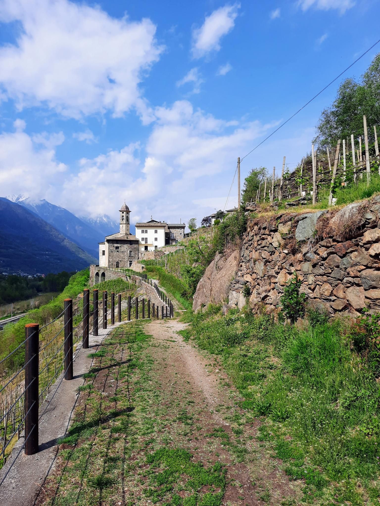
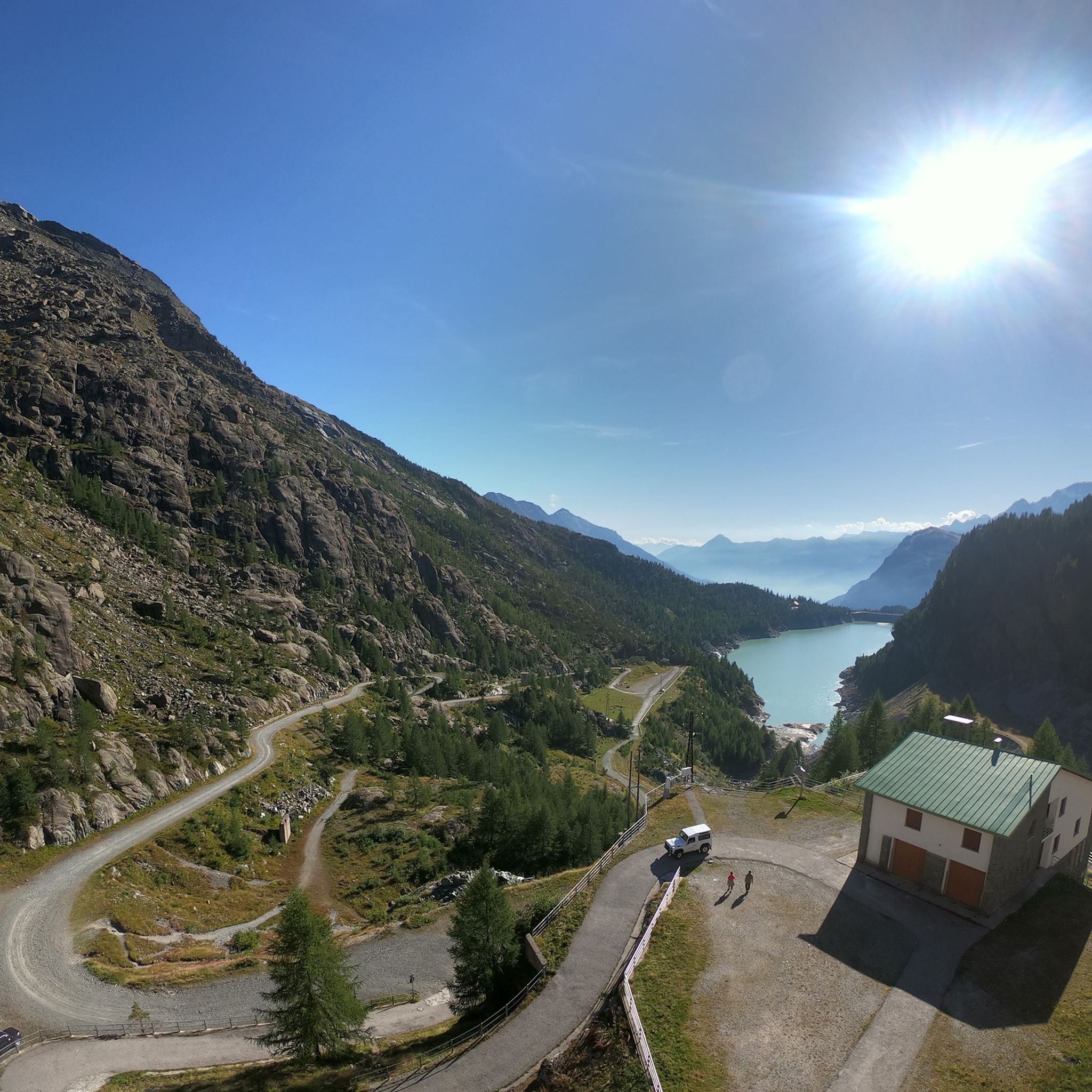
Mountaineering around Chiuro, Italy, is characterized by its location within the mountainous Valtellina region, offering a diverse landscape for outdoor activities. The area features majestic mountains, picturesque terraced vineyards, and the Adda River. Notable natural features include the Fellaria Glacier in Valmalenco and the Alpe Gera Dam, providing scenic vistas and starting points for challenging routes. This region serves as an excellent base for mountain-related activities, with routes catering to various difficulty levels.
Best mountaineering routes around Chiuro
- The most…
Last updated: August 14, 2026
8
hikers
12.4km
06:05
1,060m
1,060m
Hard mountaineering route. Very good fitness required. Sure-footedness, sturdy shoes and alpine experience required.
5.0
(3)
28
hikers
11.6km
04:57
590m
590m
Hard mountaineering route. Good fitness required. Sure-footedness, sturdy shoes and alpine experience required.

Sign up for free
5.0
(1)
3
hikers
15.4km
06:48
880m
870m
Hard mountaineering route. Very good fitness required. Sure-footedness, sturdy shoes and alpine experience required.
1
hikers
9.23km
03:31
560m
560m
Moderate mountaineering route. Good fitness required. Mostly accessible paths. Sure-footedness required.
Our route recommendations are based on thousands of hikes, rides, and runs completed by other people on komoot.
Start today with a free account
Your next adventure awaits.
Login or Signup
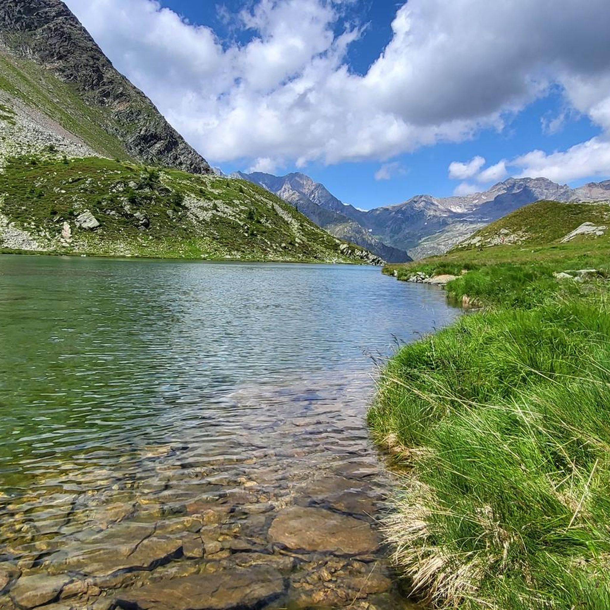
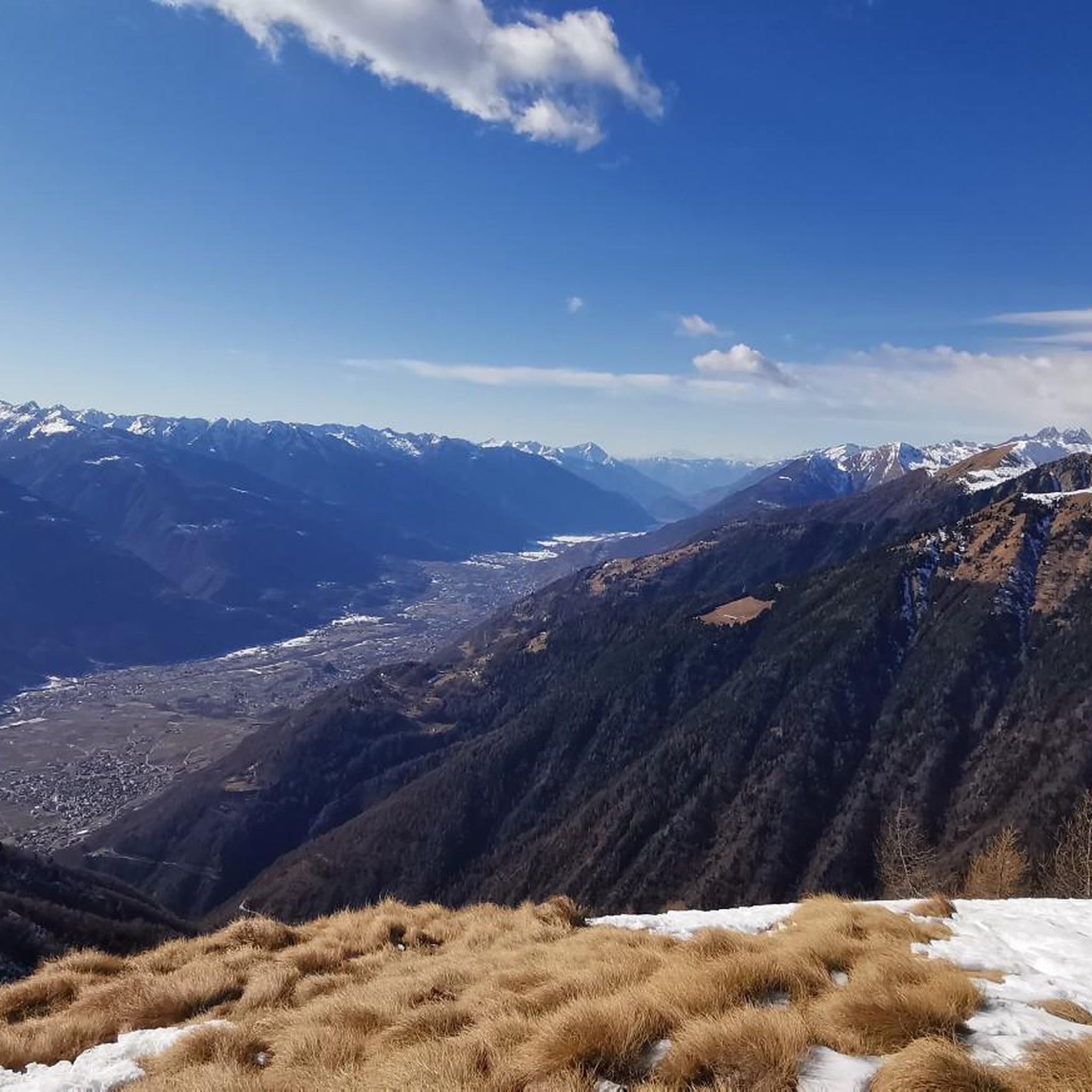
Other adventures around Chiuro

Tips from the Community

Beautiful trails in Valmalenco.
0
0
Starting point for the ascent to Bernina, in the heart of Valmalenco.
0
0
This refuge has a beautiful panoramic terrace from which to enjoy an excellent lunch at altitude.
0
0

Imposing constructions that generate 2 artificial basins...
0
0
Very direct path to quickly ascend from the dam to the refuge, mostly accessible to everyone, you gain elevation steadily. Don't trust the signs, step counts and times are randomly given.
0
0
It is possible to do a loop and my advice is to do it counter-clockwise. However, if the goal is to reach the glacier in a day, it would be good to take the left trail uphill to reduce the overall kilometers and elevation gain.
0
0
It is a mountain pasture where cheese is produced. They have both goats and cows and a donkey. I also saw smoking near the rock face. The product is the same as what is later served in the mountain hut (a few hundred meters away).
0
0

Frequently Asked Questions
What kind of mountaineering routes can I find around Chiuro?
Chiuro, nestled in the Valtellina region, offers a diverse range of mountaineering routes. You'll find a total of 7 routes, with 2 classified as moderate and 5 as difficult, catering to various skill levels. The region is known for its high alpine peaks, glacial features, and mountain huts.
Are there any moderate mountaineering routes suitable for less experienced climbers?
Yes, there are a couple of moderate routes. One popular option is the Rifugio Cristina loop from Fang. This 7.0-mile (11.2 km) trail leads through beautiful mountain landscapes to a high-altitude hut and typically takes about 3 hours 40 minutes to complete.
Which routes offer a significant challenge for experienced mountaineers?
For experienced mountaineers seeking a challenge, the Chiuro area has several difficult routes. The View of Fellaria Glacier – Alpe Gembrè, 2217m loop from Campo Moro is a demanding 10.7-mile (17.3 km) trail offering impressive views of the Fellaria Glacier. Another rigorous option is the Alpe Gembrè, 2217m loop from Torrente Valle di Campo Moro, a 10.3-mile (16.6 km) path with significant elevation gain through rugged alpine terrain.
Are there any circular mountaineering routes in the Chiuro area?
Yes, many of the mountaineering routes around Chiuro are designed as loops, allowing you to start and end at the same point. Examples include the View of Fellaria Glacier – Alpe Gembrè, 2217m loop from Campo Moro and the Dosso Laù – Monte Brione loop from Prato Valentino.
What natural features or viewpoints can I expect to see on mountaineering routes near Chiuro?
Mountaineering routes near Chiuro offer stunning natural features. You can expect panoramic views of the Rhaetian and Orobic Alps, terraced vineyards, and the Adda River. Notable highlights include the majestic Fellaria Glacier in Valmalenco and the impressive Alpe Gera Dam. Many routes also pass through protected areas like Stelvio National Park, offering diverse ecosystems and wildlife viewing opportunities.
Can I see glaciers on any of the mountaineering routes?
Yes, the region is home to significant glaciers. The View of Fellaria Glacier – Alpe Gembrè, 2217m loop from Campo Moro route offers impressive views of the Fellaria Glacier. This area, under Mount Bernina, is a significant natural monument and provides a unique glaciological experience for experienced hikers.
What is the best time of year for mountaineering around Chiuro?
The best time for summer mountaineering around Chiuro is typically from late spring to early autumn (June to September), when trails are generally clear of snow and weather conditions are more stable. However, conditions can vary greatly at higher altitudes, so always check local forecasts before heading out.
Are there options for winter mountaineering near Chiuro?
Valtellina is a celebrated destination for ski mountaineering, offering some of the finest terrain in the Alps. While specific routes for winter mountaineering are not detailed in this guide, the region's high alpine environment provides ample opportunities for experienced winter enthusiasts, often requiring specialized equipment and knowledge.
Are there any interesting landmarks or points of interest along these routes?
Beyond the natural beauty, you might encounter various points of interest. For example, the area features mountain huts like Alpe Musella, 2,077 m, which offer places to rest. You can also explore nearby gorges, such as Sentiero della Gola di Cavaglia, or visit the Col d'Anzana mountain pass.
What do other mountaineers enjoy the most about mountaineering in Chiuro?
The mountaineering routes in Chiuro are highly rated by the komoot community, with an average score of 5.0 stars. Reviewers often praise the challenging ascents, the panoramic views of the alpine landscape, and the unique experience of exploring glacial features like the Fellaria Glacier.
Is parking available near the starting points of mountaineering routes?
While specific parking details for each route are not provided, many popular trailheads in alpine regions like Chiuro typically offer designated parking areas, especially for routes starting from locations like Campo Moro or Prato Valentino. It's always advisable to check local signage or specific route descriptions for the most accurate parking information.
Most popular attractions around Chiuro

Get inspired with the komoot mobile app


Explore more
Browse the best Mountain Hikes & Routes in other regions.
