The best running trails around Grantola
4.2
(140)
3,677
runners
167
runs
Jogging routes around Grantola are set within the varied terrain of the Varese Prealps, offering access to the Campo dei Fiori Regional Park. This region features diverse landscapes, including forests of chestnuts, beeches, and birches, alongside several natural reserves such as Lake Ganna and Lake Brinzio. The elevation ranges from 370 meters to over 1,200 meters, providing a mix of gradients for different running preferences.
Best jogging routes around Grantola
- The most popular jogging route is Lake Ghirla Cycle Path…
Last updated: October 9, 2026
3.6
(5)
78
runners
9.98km
01:02
50m
50m
Moderate run. Good fitness required. Mostly paved surfaces. Suitable for all skill levels.
51
runners
12.2km
02:01
800m
800m
Hard run. Very good fitness required. Sure-footedness, sturdy shoes and alpine experience required.

28
runners
31.1km
05:11
1,950m
1,940m
Hard run. Very good fitness required. Sure-footedness, sturdy shoes and alpine experience required.
5.0
(1)
32
runners
12.7km
01:21
170m
170m
Moderate run. Good fitness required. Mostly paved surfaces. Suitable for all skill levels.
4.5
(2)
22
runners
9.52km
01:00
90m
90m
Moderate run. Good fitness required. Mostly paved surfaces. Suitable for all skill levels.
Get access to more routes and recommendations from other explorers.
Already have an account?
Our route recommendations are based on thousands of hikes, rides, and runs completed by other people on komoot.
Start today with a free account
Your next adventure awaits.

Tips from the Community

Fantastic, fresh and relaxing places, I recommend them
0
0

San Michele is a beautiful small church
0
0

very nice up-and-down cycle path, ideal for gravel; not necessarily suitable for racing bikes
1
0

In between there is art along the way. Nice to drive
0
0

Between Lake Maggiore and Lake Lugano, this panoramic point near Monte Pian Nave (1,058 meters above sea level in the municipality of Porto Valtravaglia) is an excellent glimpse of the northern part of Lake Maggiore. Especially at sunset, this place can be very fascinating.
0
0

Passo San Michele (885 m) al Monte (Porto Valtravaglia) The Passo San Michele in the mountain range between Luino in the north, Laveno in the southwest and the Val Cuvia, east of Lake Maggiore. Specifically, three roads meet at the Passo San Michele: the southern approach from the Passo San Antonio, the eastern approach from Grantola via the small town of Brissago Valtravagli and the northwestern approach from Muceno. Text / Source: quaeldich.de https://www.quaeldich.de/paesse/passo-san-michele/
11
0


Signs of unspeakable torture were found on all the bodies found, signs clearly visible in the photographs taken before the burial, in order to allow their recognition". Five corpses found in Cucco were identified, the other three still remain without a name. Giorgio Bocca wrote that in the history of the Italian Resistance the battle of San Martino occupies a place of its own and is configured as an episode of Risorgimento inspiration. The Italians also contributed to the defeat of the partisans perched on San Martino, from the Republican interpreter, remembered by the parish priest of Arcumeggia, Don Alberto Marchesi, to the "X MAS, some of whom were dressed like Germans", according to the testimony of Don Ulderico Belli, coadjutor of Cuveglio. However, Colonel Croce was not as naïve as some recent historiography would have us believe.
0
0
Frequently Asked Questions
How many running routes are available around Grantola?
Grantola offers a wide selection of running routes, with over 140 trails documented on komoot. These routes cater to various preferences, from easy jogs to more challenging runs through the diverse landscapes of the Varese Prealps.
Are there easy running routes suitable for beginners or families in Grantola?
Yes, Grantola has several easy running routes perfect for beginners or families. For instance, the Morning Run loop from Rancio Valcuvia is an easy 3.9 km (2.4 miles) path with minimal elevation gain, offering a gentle introduction to the area's trails.
What kind of terrain can I expect on the jogging trails around Grantola?
The jogging trails around Grantola feature varied terrain, reflecting the region's diverse landscape. You can expect lakeside paths, forest trails through chestnut, beech, and birch woods, and routes within the Campo dei Fiori Regional Park. Some paths, like the Sacro Monte di Varese, are cobbled or rocky with steps, while others are smoother cycle paths.
Are there any running routes with significant elevation gain for a more challenging workout?
Absolutely. The Varese Prealps, including the Campo dei Fiori Regional Park, offer routes with considerable elevation gain. A notable example is the path to the Sacro Monte di Varese, which involves an almost 300-meter climb over approximately 2 kilometers, providing a strenuous workout and rewarding panoramic views.
Can I find circular running routes in the Grantola area?
Yes, many of the running routes around Grantola are designed as loops. For example, the Lake Ghirla Cycle Path – Lake Ghirla loop from Cugliate-Fabiasco is a popular 12.7 km (7.9 miles) circular route offering continuous lakeside views. Another option is the Lake Ghirla – Valganna Cycle Path loop from Cugliate-Fabiasco, which combines lakeside sections with valley views.
Are there any scenic viewpoints or natural attractions along the running routes?
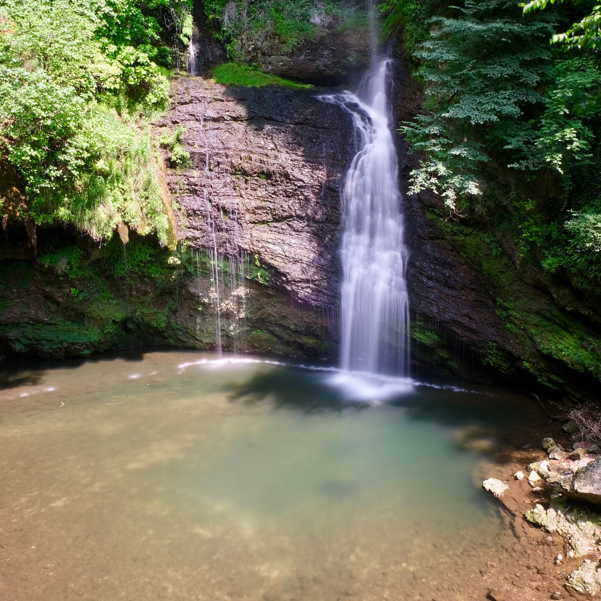
Grantola's location near the Campo dei Fiori Regional Park means many routes offer stunning scenery. The Sacro Monte di Varese path provides breathtaking panoramic views of the Lombard plain and surrounding lakes. Within the park, you can also find viewpoints like Pian Valdes and Chiusarella. Additionally, the region is home to several beautiful waterfalls, such as the Pevereggia Waterfalls and Valganna Waterfalls and Caves, which can be explored nearby.
What do other runners say about the trails in Grantola?
The running routes in Grantola are highly regarded by the komoot community, boasting an average rating of 4.2 stars from over 80 reviews. Runners frequently praise the varied terrain, from tranquil lakeside paths to challenging forest trails, and the beautiful natural surroundings of the Campo dei Fiori Regional Park.
Are there any specific routes that are dog-friendly?
While specific dog-friendly designations aren't always explicit, many natural trails within the Campo dei Fiori Regional Park and around the lakes are generally suitable for running with dogs, provided they are kept on a leash and you adhere to local regulations. Always ensure your dog is comfortable with the terrain and distance.
Is there public transport access to any of the running trails?
The region around Grantola has some public transport options, primarily bus services connecting towns. While direct access to every trailhead might vary, many routes start from villages like Cugliate-Fabiasco or Cadegliano-Viconago, which are typically served by local buses. It's advisable to check local bus schedules for specific starting points.
Where can I find parking for the running routes?
Parking is generally available in the towns and villages where many routes begin, such as Cugliate-Fabiasco, Cadegliano-Viconago, or Brezzo di Bedero. For trails within the Campo dei Fiori Regional Park, designated parking areas are often provided near popular access points or attractions like the Sacro Monte di Varese. Look for signs indicating public parking.
Are there any routes that pass by cafes or places to stop for refreshments?
Yes, some routes, especially those that pass through or near villages, offer opportunities for cafe stops. For example, the path leading to the Sanctuary of Santa Maria del Monte at Sacro Monte di Varese has facilities at the top. Lakeside routes, such as the Lakeside promenade – Lake Lugano loop from Cadegliano-Viconago, may also have cafes or restaurants in the towns along the shore.
What is the best time of year to go jogging in Grantola?
The best time for jogging in Grantola is typically during spring (April-June) and autumn (September-October) when the weather is mild and the natural scenery is at its most vibrant. Summer can be pleasant, especially in the mornings or evenings, though some trails might be warmer. Winter jogging is possible, but higher elevation trails in the Campo dei Fiori Regional Park may experience snow or colder conditions.
Most popular attractions around Grantola

Get inspired with the komoot mobile app


Explore more
Browse the best Running Trails & Routes in other regions.
