The best walks and hikes around Porto Ceresio
4.4
(899)
5,297
hikers
22
hikes
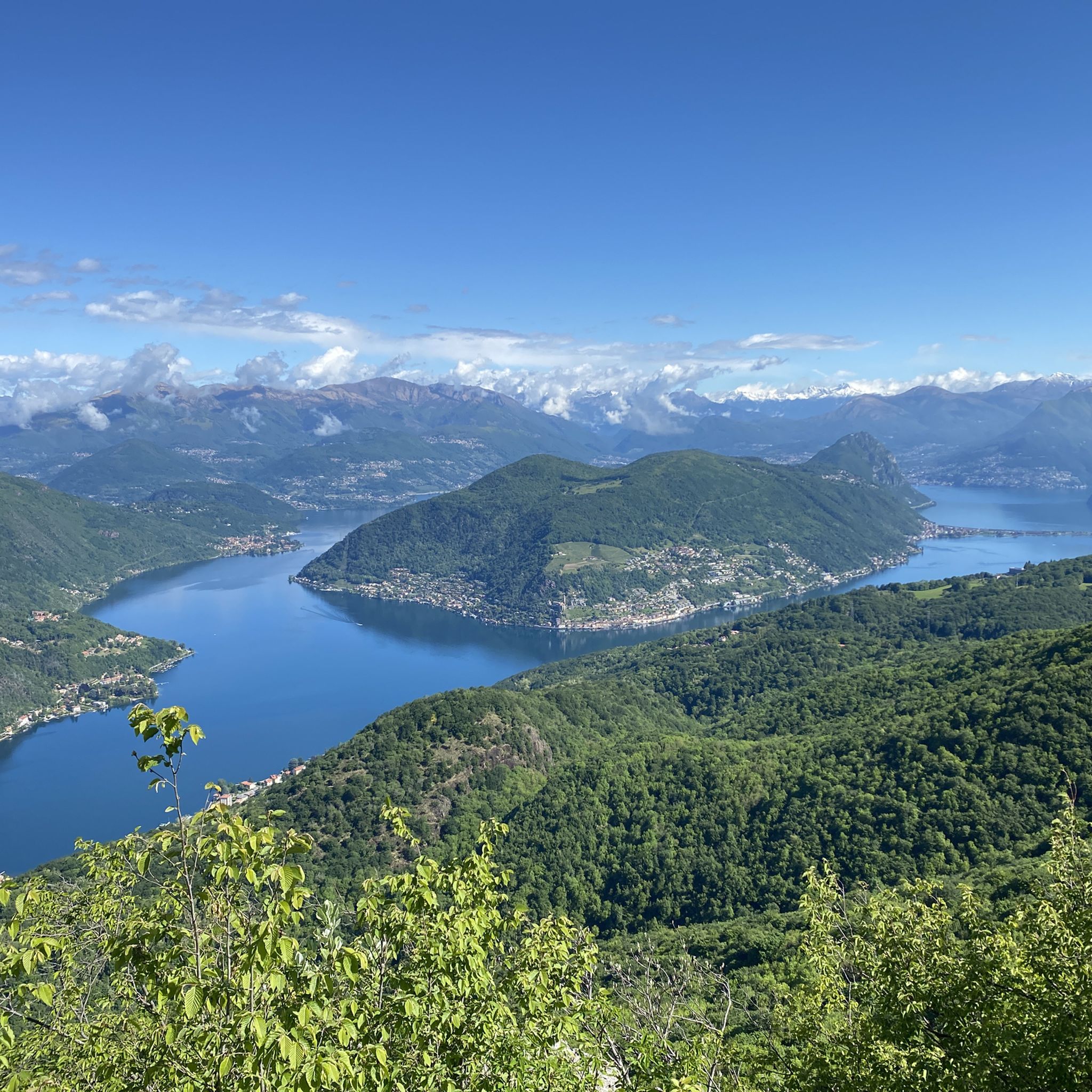
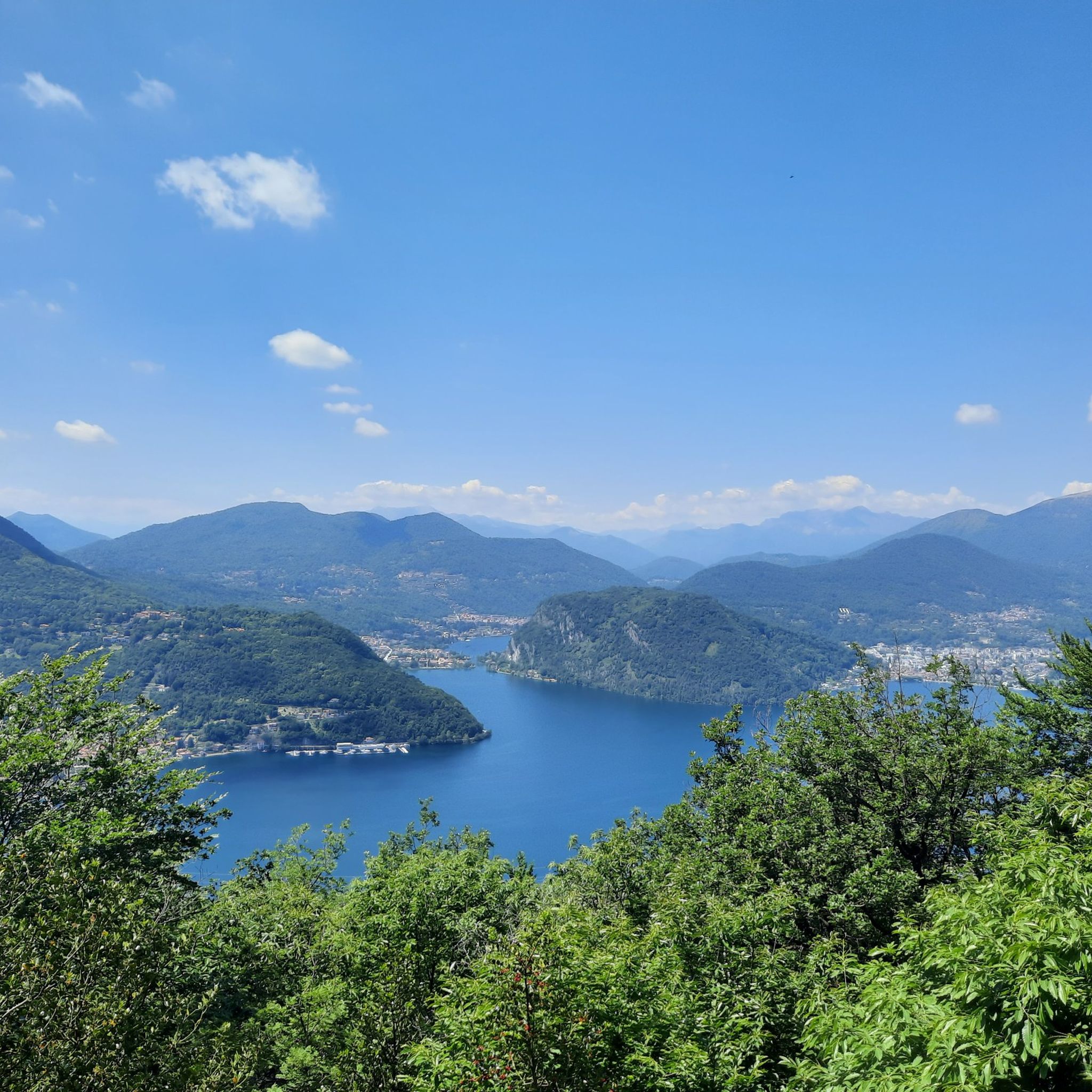
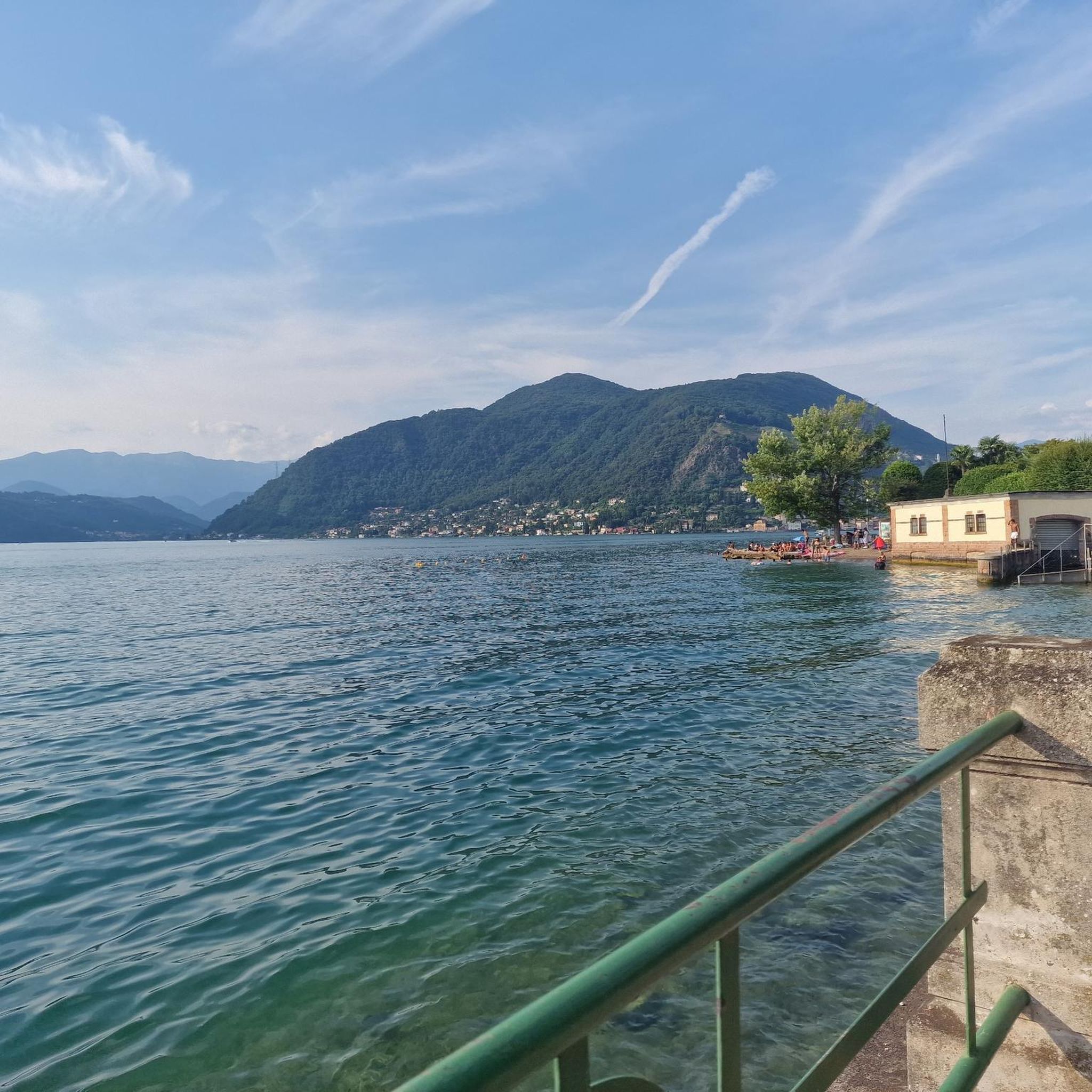
Hiking around Porto Ceresio offers diverse natural landscapes along the eastern shore of Lake Lugano, bordering Switzerland. The region is characterized by hills forming part of the Prealps, providing a backdrop of mountains and clear waters. Trails often wind through forests, past historic military paths, and along the lake, offering varied terrain for exploration. This area provides access to peaks like Monte San Giorgio and Monte Grumello, alongside the extensive network of the Linea Cadorna.
Best hiking trails around Porto Ceresio
- The most popular hiking route is Sentiero Italia, Stage D07: Porto Ceresio to Viggiù, a 10.2 miles (16.4 km) trail that takes 5 hours 58 minutes to complete. This difficult route explores sections of the Cadorna Line and offers views of Lake Lugano.
- Another top favourite among local hikers is Sentiero Italia: Monte Grumello Loop, a moderate 3.9 miles (6.3 km) path. This trail leads through forests and past World War I trenches, culminating in expansive lake views.
- Local hikers also love the Via Verde Varesina from Porto Ceresio to Poncione di Ganna, a 13.3 miles (21.5 km) trail leading through a historic cobblestone path and chestnut forests, often completed in about 7 hours 30 minutes.
- Hiking around Porto Ceresio is defined by lakeside paths, Prealpine hills, and historic military routes. The network offers options for various ability levels, from easy strolls to more strenuous ascents.
- The routes in Porto Ceresio are highly rated by the komoot community with an average score of 4.5 stars from over 700 reviews. More than 4000 hikers have used komoot to explore Porto Ceresio's varied terrain.
Last updated: November 6, 2026
4.3
(12)
25
hikers
6.32km
02:19
390m
390m
5.0
(4)
18
hikers
16.4km
05:59
790m
780m

21.5km
07:30
960m
960m
4.6
(23)
76
hikers
9.72km
03:13
420m
420m
Moderate hike. Good fitness required. Mostly walkable paths. Sure-footedness required.
4.7
(18)
52
hikers
Moderate hike. Good fitness required. Mostly walkable paths. Sure-footedness required.
Get access to more routes and recommendations from other explorers.
Already have an account?
Our route recommendations are based on thousands of hikes, rides, and runs completed by other people on komoot.
Start today with a free account
Your next adventure awaits.
Tips from the Community

Lake Lugano (also known as Ceresio) offers some of the most fascinating panoramic views straddling Switzerland and Italy. To enjoy the best view of the lake, the most famous and spectacular observation points include: Monte San Salvatore: Defined as the "Top of Lugano", it offers a 360-degree perspective over the lake basin, the city, and the Alpine chain. It is easily accessible by the Monte San Salvatore Funicular. Monte Brè: Considered the sunniest mountain in Switzerland, it is located on the opposite side of San Salvatore and offers a splendid view of the Gulf of Lugano and Monte Rosa. It houses a historic funicular and a charming artists' village. Parco San Michele: Located in Castagnola, on the slopes of Monte Brè, this park offers a panoramic terrace immersed in greenery with a breathtaking view of the lake and the city, ideal for a quiet stop. Sighignola (The Balcony of Italy): Located on the Italian-Swiss border, near Lanzo d'Intelvi
0
0
Monte Pravello (1015 m a.s.l.) is a splendid peak in the Lugano Prealps located exactly on the border between Italy (Province of Varese) and Switzerland (Canton Ticino). It represents the highest peak of the Valmorea valley and is located in an area of exceptional geological value, recognized as a UNESCO site in continuity with the nearby Monte San Giorgio. This mountain is a very popular destination for trekking and history lovers due to the presence of the remains of the Cadorna Line, the fortified defensive system built during the First World War. From its summit, you can enjoy a spectacular panoramic view of Lake Ceresio (Lake Lugano) and the surrounding Alpine chains.
0
0

Fantastic panorama of Lake Lugano, very similar to the one enjoyed from the nearby Monte Orsa and better than the one from Poncione d'Arzo. Among the three peaks, a must-visit are the trenches and tunnels of the Cadorna Line. Impressive is the path descending north towards Ca del Monte, Monte Giumello, and Porto Ceresio, but the path of 1000 steps is not easy either. It is simpler to ascend from the military road of Orsa and from the Rifugio/Bivacco Pravello.
2
0

I spent the night here in a tent on my border tour around Switzerland. The space conditions are tight, but the experience is fantastic. The stage is described in the book "Meine grösste Grenzerfahrung. ..." on pages 158-160 including illustrations. www.Stadt-Land-Spirit.ch
1
0

We recommend starting from the car park located in the village of Alpe Tedesco, it is located under the main road and from there the mule track begins which joins the proposed itinerary.
0
0

The view of the lake from the top of Monte Grumello alone makes up for the entire excursion.
0
0

Very nice route on the shore of the lake
1
0

Porto Ceresio belongs to the province of Varese on Lake Lugano, and was made famous as an internationally renowned center of craftsmanship and art. Very inhabited and busy city, but worth a passing visit.
2
0
Frequently Asked Questions
How many hiking trails are there around Porto Ceresio?
Porto Ceresio offers a selection of over 20 hiking trails, catering to various fitness levels. These routes explore the diverse landscapes from the shores of Lake Lugano to the Prealpine hills.
Are there easy hiking options suitable for beginners or families in Porto Ceresio?
Yes, Porto Ceresio has several easy hiking options. You can enjoy leisurely strolls along the well-maintained lakeside promenade, which offers open views of Lake Lugano and the Swiss shore. For a slightly longer but still moderate option, the Porto Ceresio Promenade loop from Porto Ceresio is a great choice.
What kind of terrain can I expect on hikes around Porto Ceresio?
The terrain around Porto Ceresio is quite varied. You'll find paths winding through dense forests, along historic military routes like the Linea Cadorna, and on cobblestone trails. Many routes also feature ascents into the Prealpine hills, offering panoramic views of Lake Lugano and the surrounding mountains.
Are there any dog-friendly hiking trails in Porto Ceresio?
Many trails around Porto Ceresio are suitable for dogs, especially those that traverse forests and less crowded areas. It's always recommended to keep your dog on a leash, especially near wildlife or on popular paths, and to check local regulations for specific routes.
What are some notable natural features or landmarks I can see while hiking?
Hikers can explore a wealth of natural beauty and historical landmarks. You'll encounter sections of the historic Linea Cadorna, a system of World War I trenches and bunkers. Many trails offer stunning views of Lake Lugano and the surrounding mountains, including Monte San Giorgio, a UNESCO World Heritage Site. You can also find highlights like View of Lake Lugano from Monte San Giorgio and Monte Generoso.
Are there any circular hiking routes available in Porto Ceresio?
Yes, there are several circular routes. A popular option is the Sentiero Italia: Monte Grumello Loop, which is a moderate 3.9-mile path leading through forests and past World War I trenches, culminating in expansive lake views.
What do other hikers enjoy most about hiking in Porto Ceresio?
The hiking trails in Porto Ceresio are highly rated by the komoot community, with an average score of 4.5 stars from over 700 reviews. Hikers frequently praise the diverse landscapes, the continuous panoramic views of Lake Lugano, and the historical elements found along routes like the Linea Cadorna.
What is the best time of year to go hiking in Porto Ceresio?
The best time for hiking in Porto Ceresio is generally from spring through autumn. During these seasons, the weather is pleasant, and the natural scenery is vibrant. While winter hikes are possible, some higher elevation trails might be more challenging due to snow or ice.
Are there any historical sites or castles to explore near the hiking trails?
Yes, the region around Porto Ceresio is rich in history. Besides the Linea Cadorna, you can find several castles and ruins. Notable examples include the Medici Castle of Frascarolo and the Castellaccio Ruins, offering glimpses into the area's past.
Are there any challenging or advanced hiking trails in the area?
For experienced hikers seeking a challenge, Porto Ceresio offers several difficult routes. The Via Verde Varesina from Porto Ceresio to Poncione di Ganna is a demanding 13.3-mile trail through a historic cobblestone path and chestnut forests, often taking over 7 hours to complete.
Is there parking available for hikers in Porto Ceresio?
Yes, Porto Ceresio typically offers various parking options within the town, especially near the lakeside promenade and trailheads. It's advisable to check local signage for specific parking regulations and fees.
Most popular routes around Porto Ceresio
Most popular attractions around Porto Ceresio

Get inspired with the komoot mobile app


Explore more
Browse the best Hikes in other regions.
