The best walks and hikes around Hollersbach im Pinzgau
4.5
(1745)
8,122
hikers
59
hikes
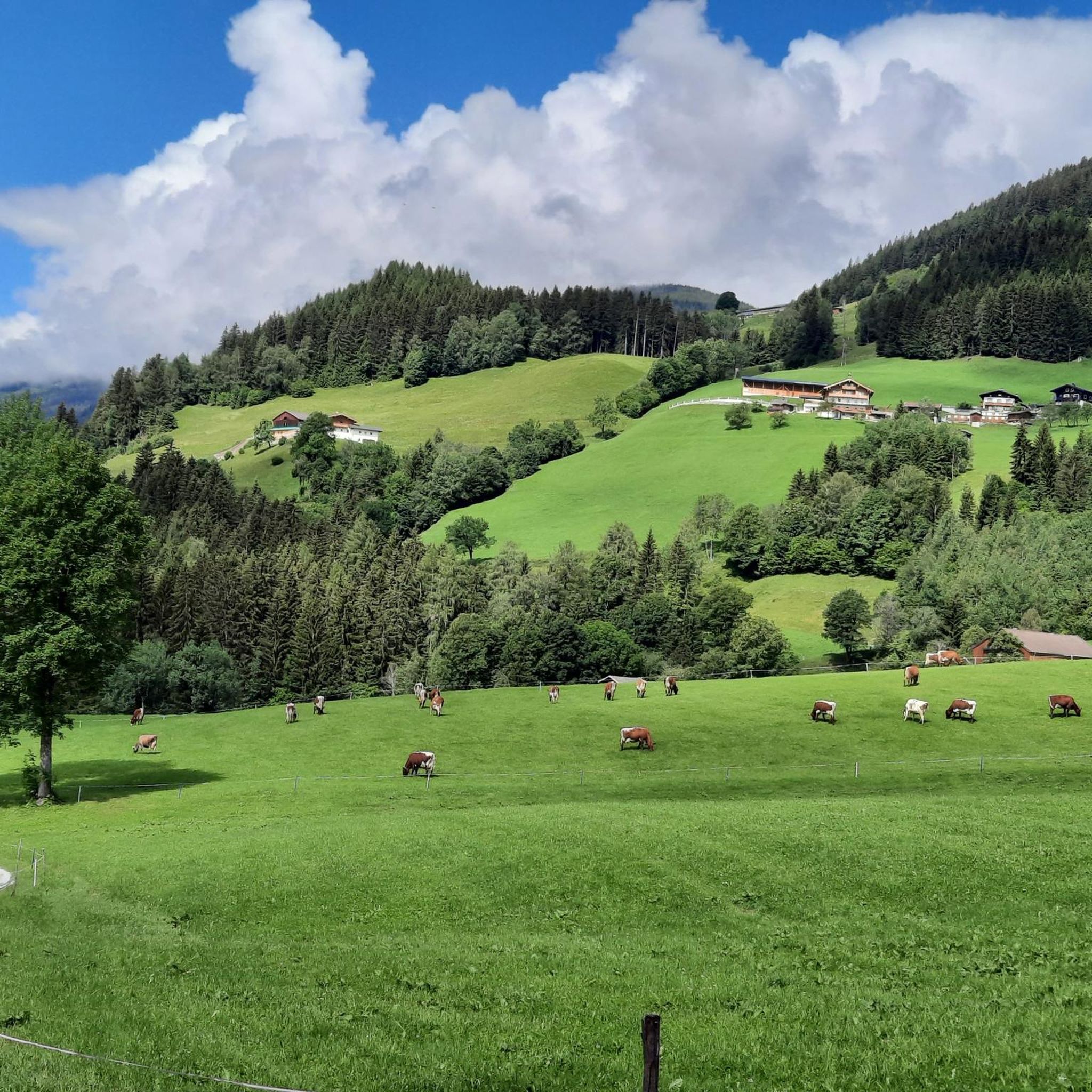
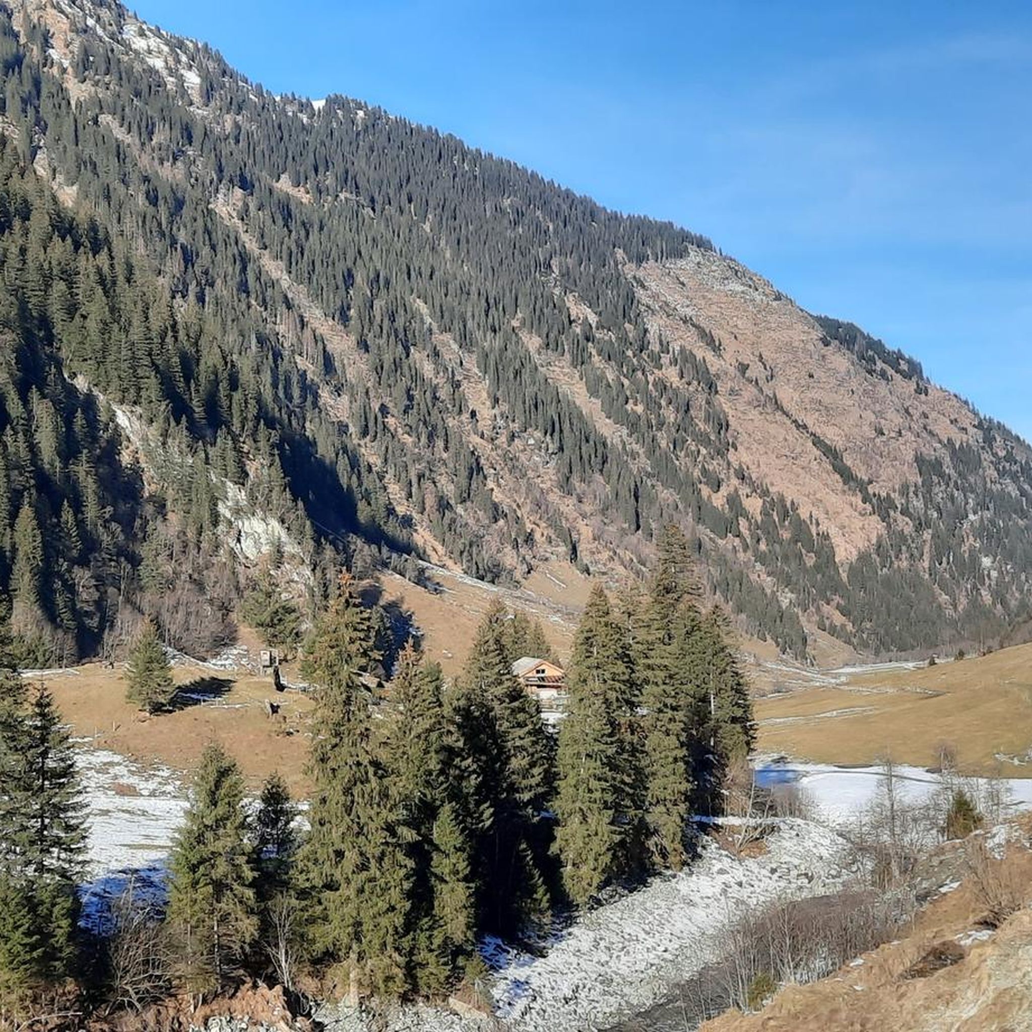
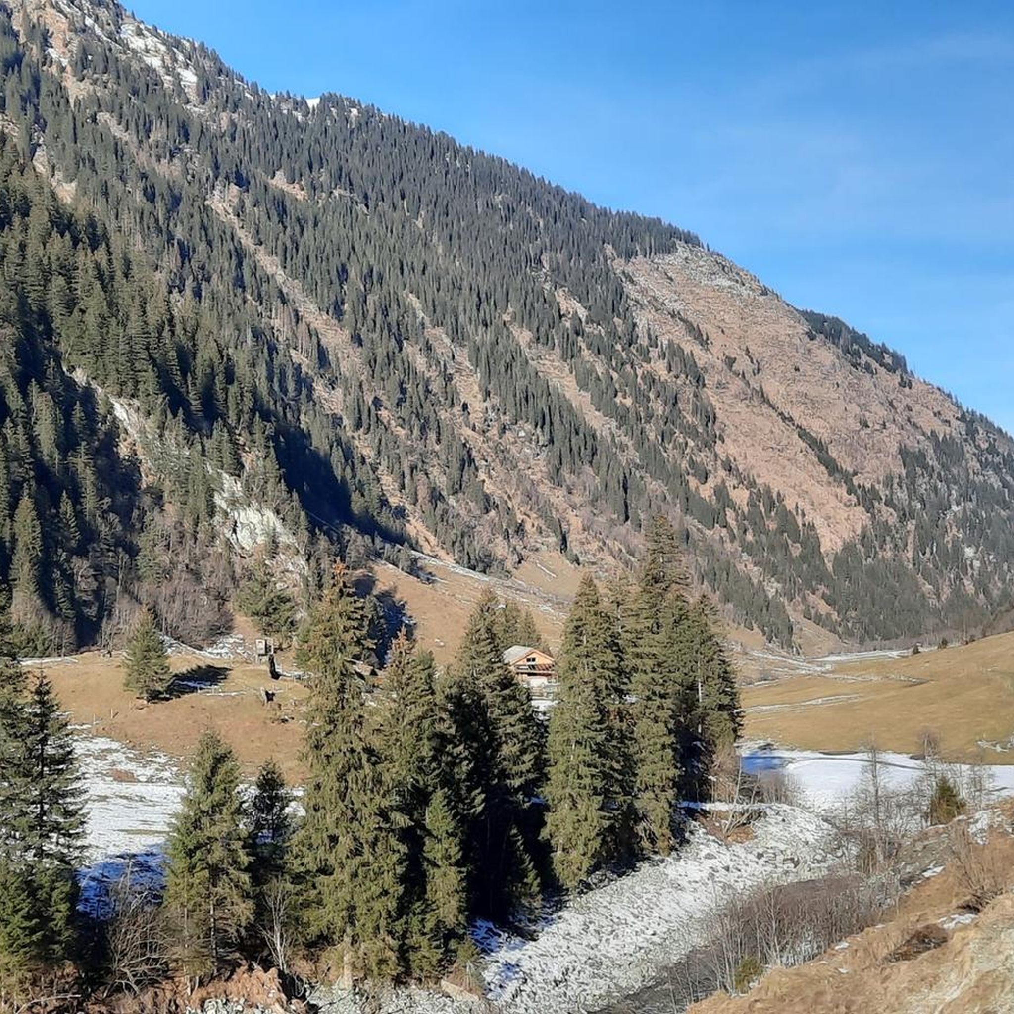
Hiking around Hollersbach im Pinzgau offers diverse landscapes situated between the Hohe Tauern National Park and the Kitzbühel Alps. The region features clear mountain streams, waterfalls, alpine pastures, and forested areas. Trails range from easy walks along rivers to challenging mountaineering routes with significant elevation changes. This geographical position provides a variety of terrain for outdoor activities.
Best hiking trails around Hollersbach im Pinzgau
- The most popular hiking route is Hollersbach: Stream nature trail - Hohe Tauern National Park,…
Last updated: September 29, 2026
4.8
(329)
1,370
hikers
11.8km
03:19
250m
250m
Moderate hike. Good fitness required. Easily-accessible paths. Suitable for all skill levels.
4.5
(23)
184
hikers
Moderate hike. Good fitness required. Mostly accessible paths. Sure-footedness required.

4.5
(19)
118
hikers
9.03km
04:25
720m
720m
Moderate hike. Good fitness required. Mostly accessible paths. Sure-footedness required.
4.9
(8)
59
hikers
18.6km
08:32
1,590m
1,590m
Hard hike. Very good fitness required. Mostly accessible paths. Sure-footedness required.
4.5
(15)
63
hikers
Easy hike. Great for any fitness level. Easily-accessible paths. Suitable for all skill levels.
Get access to more routes and recommendations from other explorers.
Already have an account?
Our route recommendations are based on thousands of hikes, rides, and runs completed by other people on komoot.
Start today with a free account
Your next adventure awaits.
Popular around Hollersbach im Pinzgau
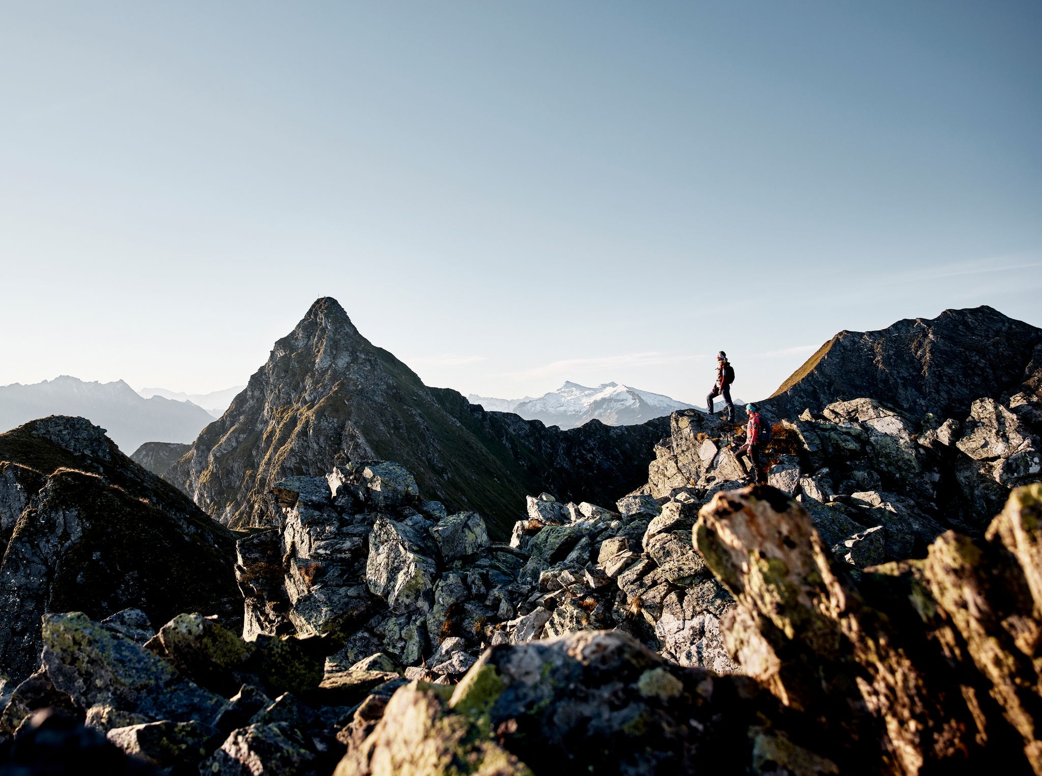
Your adventure is waiting – our ten favourite mountain Tours
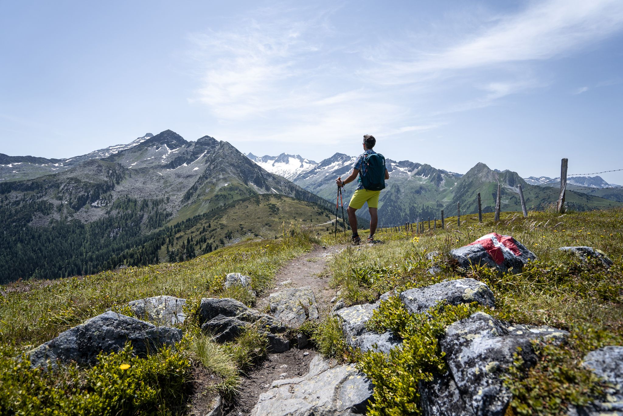
Best views of the highest mountains — Hohe Tauern Panorama Trail
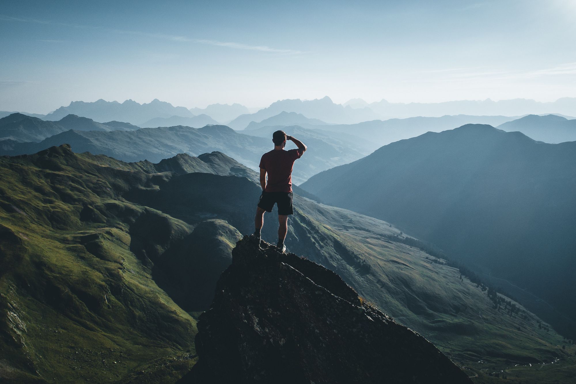
On a voyage of discovery in Austria’s High Tauern National Park
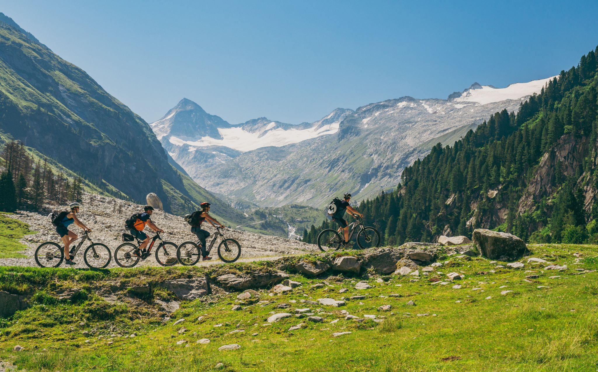
Ride to the alpine pastures in Austria's Hohe Tauern National Park Region
Gravel biking around Hollersbach im Pinzgau
MTB Trails around Hollersbach im Pinzgau
Road Cycling Routes around Hollersbach im Pinzgau
Cycling around Hollersbach im Pinzgau
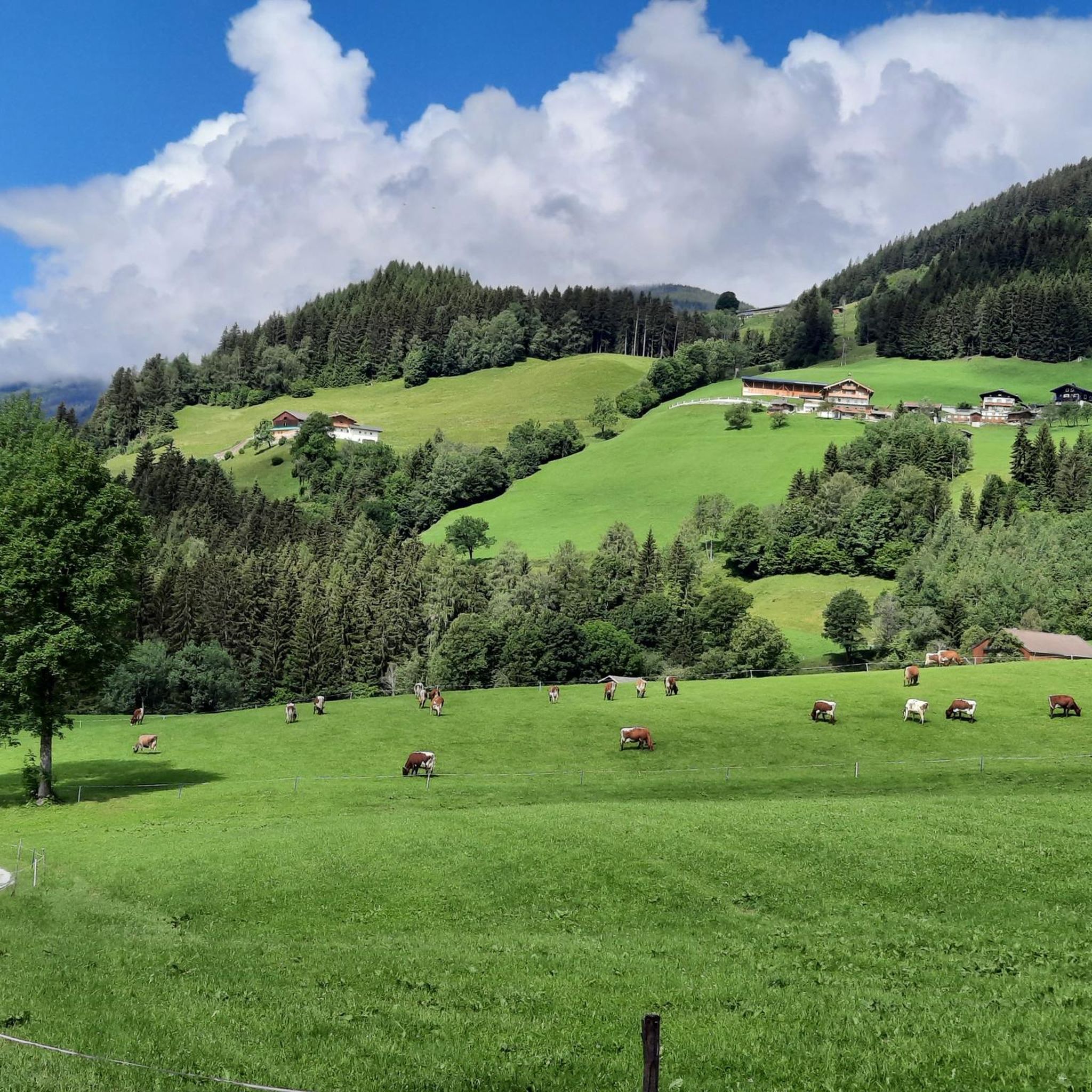
Running Trails around Hollersbach im Pinzgau
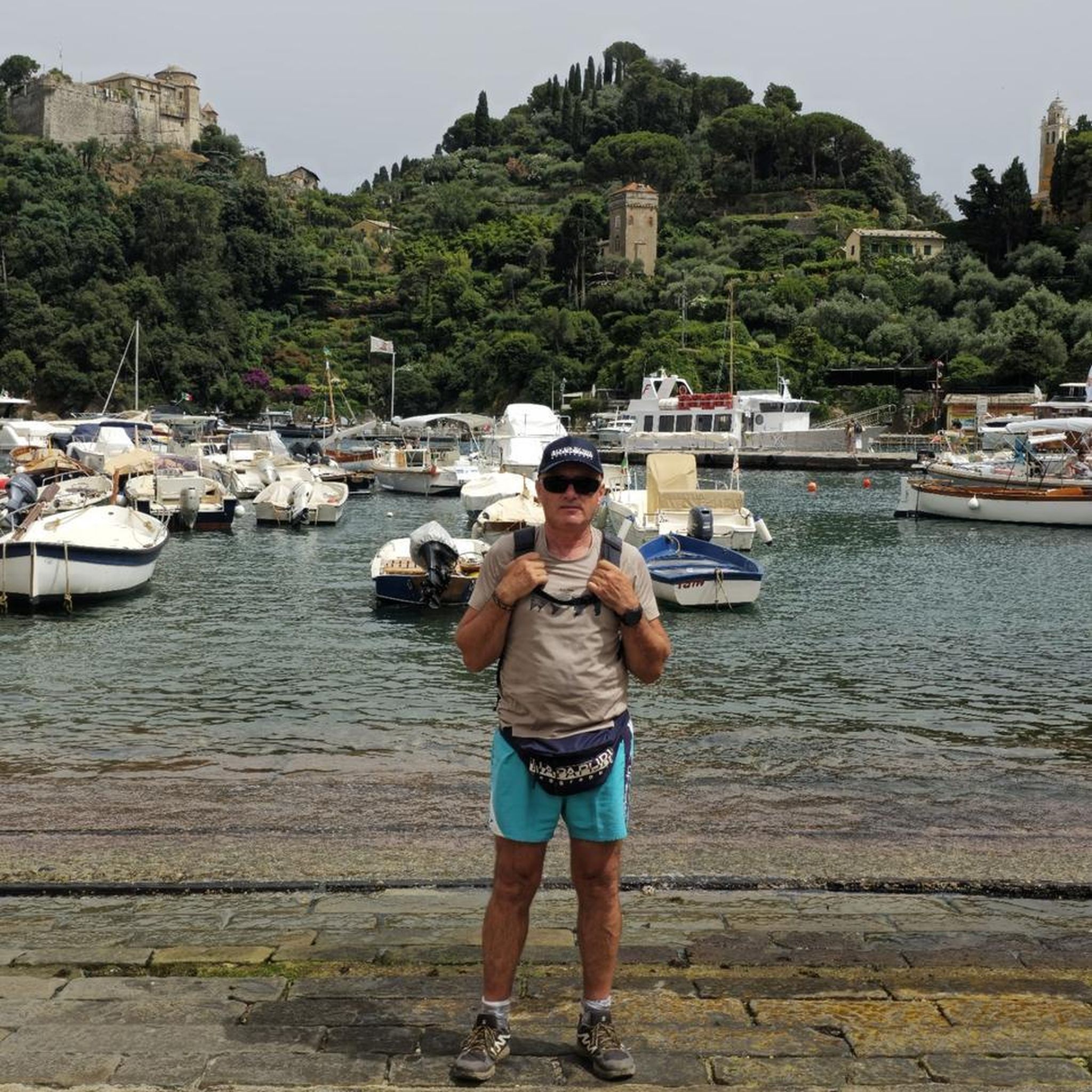
Mountain Hikes around Hollersbach im Pinzgau
Other adventures around Hollersbach im Pinzgau


Tips from the Community

If possible, ride in spring, during the snowmelt. Then they are most impressive
0
0

There are two paths leading to Senninger Alm. One is a bit more difficult due to the varied terrain, but more pleasant because you walk along the stream. The other is easier, with asphalt paving, which is also suitable for vehicles, but the stream is less visible. Both paths lead to the same destination, even from a distance. It was a beautiful trail.
0
0

A stunning view from the head of the valley. Further up, there's a place to leave your bike and hike for two hours to the "Neue Fürther Hütte" (New Fürth Hut). Due to the snowfields, we could only hike a short distance uphill, but the view was well worth it. Hiking boots are essential! The hut's opening hours can be found online.
0
0

The new Further Hut was opened in 1929 and offers a great view. It is located on the Tauern Westweg and the Arnoweg, and the Kratzenbergsee can be reached quickly below the hut. From the end of the valley (approx. 1,641 meters) it is also possible to transport backpacks using the material lift. More information is available at https://www.fuerther-huette.at/.
1
0

The stream here has a very beautiful turquoise color
0
0

A bike tour to the Senninger Alm is worth it!
0
0

Beautiful alpine pasture with plenty of space and delicious food. The apple strudel with cream deserves a special mention 💯😋
2
0

The Kratzenbergsee is located at the southern end of the Hollersbachtal in the Venice group in Pinzgau. At 24 hectares, it is the largest natural mountain lake in the Hohe Tauern National Park and in the Eastern Alps. The mountain lake is impressively framed by high peaks, such as the Abreder (also Abbretter), the Seekopf, both just under 3,000 m high, and the Kratzenberg and the Larmkogel (both over 3,000 m high). The Neue Fürther Hütte is in its immediate vicinity. The outflow of the lake, the Seebach, together with the Hüttenbach, after their confluence above the Ofneralm, forms the Hollersbach, which drains the Hollersbachtal.
0
0
Frequently Asked Questions
What kind of hiking trails can I expect in Hollersbach im Pinzgau?
Hollersbach im Pinzgau offers a diverse range of hiking experiences, from easy walks along rivers to challenging mountaineering routes. The region is uniquely situated between the Hohe Tauern National Park and the Kitzbühel Alps, providing varied landscapes including clear mountain streams, waterfalls, alpine pastures, and forested areas.
Are there easy hiking options suitable for beginners or casual walkers?
Yes, Hollersbach im Pinzgau has many easy trails. For example, the Hollersbach: Stream nature trail - Hohe Tauern National Park is a moderate 11.8 km route that follows the Hollersbach river, offering insights into local flora and fauna. The Bee Educational Trail on the Hollersbacher Sonnberg is another experience-oriented nature trail suitable for easier walks.
Where can I find more challenging hikes in the region?
For experienced hikers seeking a challenge, the Hohe Tauern National Park, just a few kilometers from Hollersbach, offers demanding routes. The Neue Fürther Hut – Larmkogel Summit loop is a hard mountaineering route requiring very good fitness and alpine experience, with over 1000m elevation gain. The Pihapper Summit (2,513 m) also provides a hard, long loop with great views towards the Großvenediger.
What is the best time of year to go hiking in Hollersbach im Pinzgau?
The best seasons for hiking in Hollersbach im Pinzgau are spring, summer, and autumn. During these months, temperatures are mild, and nature is in full bloom, offering ideal conditions for exploring the trails.
Are there any circular hiking routes available?
Yes, there are several circular routes. The View of the River Valley – Hollerbach Forest Trail loop is a moderate 8 km trail through forested areas. For a more challenging circular option, consider the Neue Fürther Hut – Kratzenbergsee loop from Vorderofnerhütte.
Are there family-friendly hiking trails in Hollersbach im Pinzgau?
Absolutely. The Stream Nature Trail (Bachlehrweg) is a popular and family-friendly option. Another excellent choice is the trail leading to Resterhöhe Lake, which is easily accessible via the Panorama Cable Car, making it a convenient starting point for tours with stunning views.
Can I bring my dog on the hiking trails?
Many trails in the Hollersbach im Pinzgau region are dog-friendly, especially those outside of protected wildlife zones. However, it's always recommended to keep dogs on a leash, especially in alpine pastures where livestock may be present, and to check specific trail regulations for any restrictions, particularly within the Hohe Tauern National Park.
Are there any hikes that feature waterfalls or lakes?
Yes, the region is rich in natural water features. The Hollersbachtal within the Hohe Tauern National Park features clear mountain streams and waterfalls. The impressive Krimml Waterfalls, Europe's highest, are also reachable from Hollersbach. For serene lakes, the trail to Resterhöhe Lake is a popular choice, and you can also explore other beautiful lakes like Hintersee or Torsee.
What are some notable landmarks or attractions I can explore while hiking?
Beyond the natural beauty, you can discover historical sites. The region features several castles and ruins, such as Einödberg Castle or the Weyer Castle Ruins. These can offer interesting detours or destinations during your hikes.
Can I access mountain huts during my hike?
Yes, some routes in the area lead to or pass by mountain huts. For instance, the Hollersbach Footbridge – Neue Fürther Hut loop includes the Neue Fürther Hut, providing a potential stop or turnaround point for hikers.
How many hiking trails are there in Hollersbach im Pinzgau?
There are over 60 hiking routes available around Hollersbach im Pinzgau, catering to various skill levels. This includes 26 easy, 25 moderate, and 11 difficult trails, ensuring options for every type of hiker.
What do other hikers enjoy the most about hiking in Hollersbach im Pinzgau?
The hiking trails in Hollersbach im Pinzgau are highly rated by the komoot community, with an average score of 4.5 stars from over 1,400 reviews. Hikers often praise the diverse landscapes, from the clear mountain streams to the panoramic views of the Hohe Tauern National Park and Kitzbühel Alps.
Is public transport available to reach hiking starting points?
Hollersbach im Pinzgau is well-connected, and public transport options are available to reach various starting points for hikes. The Panorama Lift also provides direct access to the Kitzbühel Alps hiking area, offering a convenient way to begin tours at higher altitudes.
Most popular routes around Hollersbach im Pinzgau
Most popular attractions around Hollersbach im Pinzgau

Get inspired with the komoot mobile app


Explore more
Browse the best Hikes in other regions.
