The best walks and hikes around Viggiù
4.4
(885)
5,399
hikers
12
hikes
Hiking around Viggiù offers diverse landscapes in the Valceresio valley, at the foot of Monte Orsa. The region features forests, ridge trails, and paths through varied terrain, including the historical "Stone of Viggiù" quarries. Hikers can explore the Prealps and enjoy panoramic views of Lake Ceresio, the Swiss Alps, and the mountains of the Ossola region. The area also integrates historical elements, such as the well-preserved fortifications of the Cadorna Line.
Best hiking trails around Viggiù
- The most popular hiking…
Last updated: October 24, 2026
4.6
(48)
184
hikers
8.64km
03:21
510m
510m
Moderate hike. Good fitness required. Mostly walkable paths. Sure-footedness required.
1
hikers
2.60km
00:51
120m
120m
Moderate hike. Mostly walkable paths. Sure-footedness required.

22.6km
06:26
510m
510m
Hard hike. Very good fitness required. Easily walkable paths.
9.82km
02:39
130m
130m
Moderate hike. Good fitness required. Easily walkable paths.
4.4
(34)
150
hikers
18.0km
06:48
950m
950m
Hard hike. Very good fitness required. Mostly walkable paths. Sure-footedness required.
Get access to more routes and recommendations from other explorers.
Already have an account?
Our route recommendations are based on thousands of hikes, rides, and runs completed by other people on komoot.
Start today with a free account
Your next adventure awaits.

Tips from the Community

Lake Lugano (also known as Ceresio) offers some of the most fascinating panoramic views straddling Switzerland and Italy. To enjoy the best view of the lake, the most famous and spectacular observation points include: Monte San Salvatore: Defined as the "Top of Lugano", it offers a 360-degree perspective over the lake basin, the city, and the Alpine chain. It is easily accessible by the Monte San Salvatore Funicular. Monte Brè: Considered the sunniest mountain in Switzerland, it is located on the opposite side of San Salvatore and offers a splendid view of the Gulf of Lugano and Monte Rosa. It houses a historic funicular and a charming artists' village. Parco San Michele: Located in Castagnola, on the slopes of Monte Brè, this park offers a panoramic terrace immersed in greenery with a breathtaking view of the lake and the city, ideal for a quiet stop. Sighignola (The Balcony of Italy): Located on the Italian-Swiss border, near Lanzo d'Intelvi
0
0
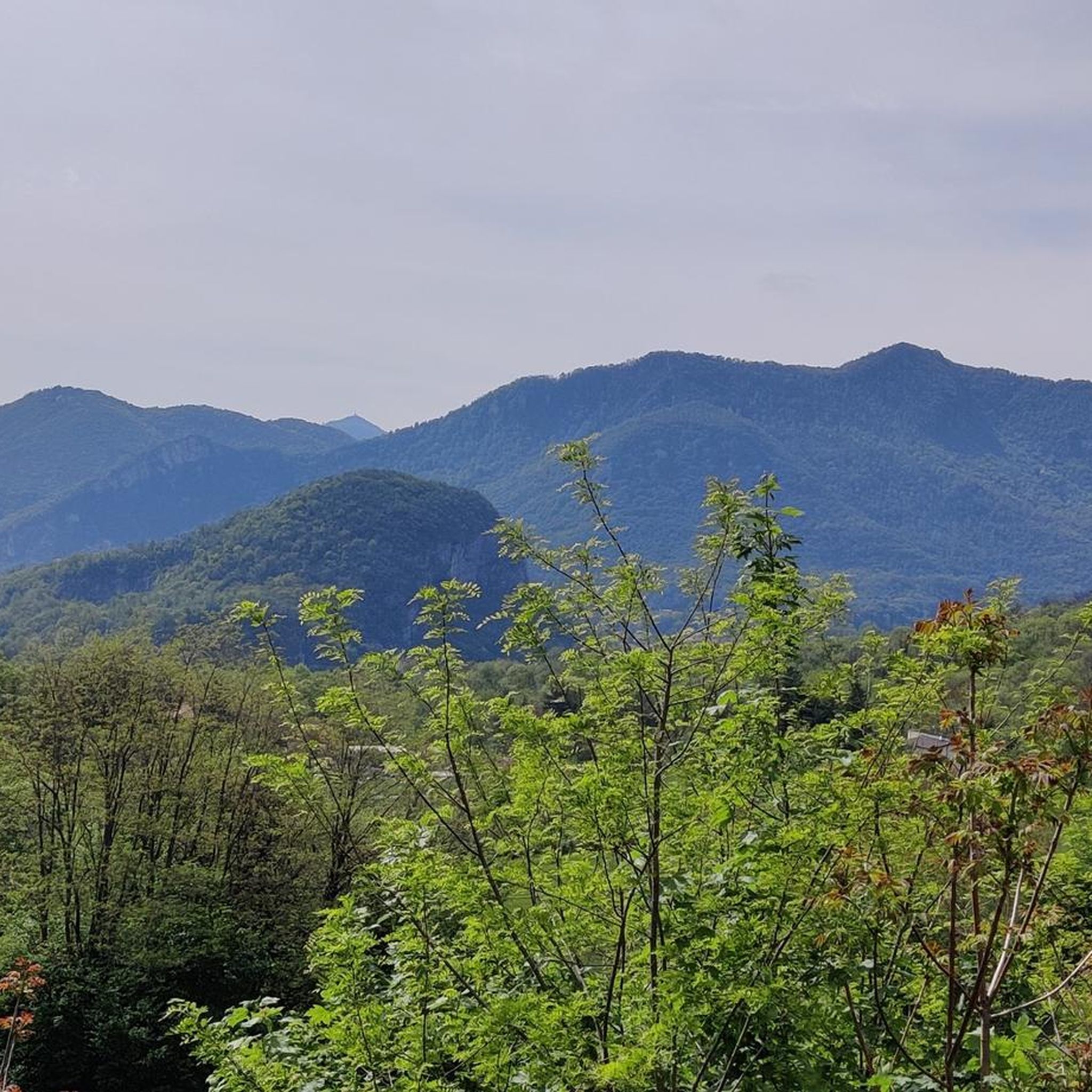
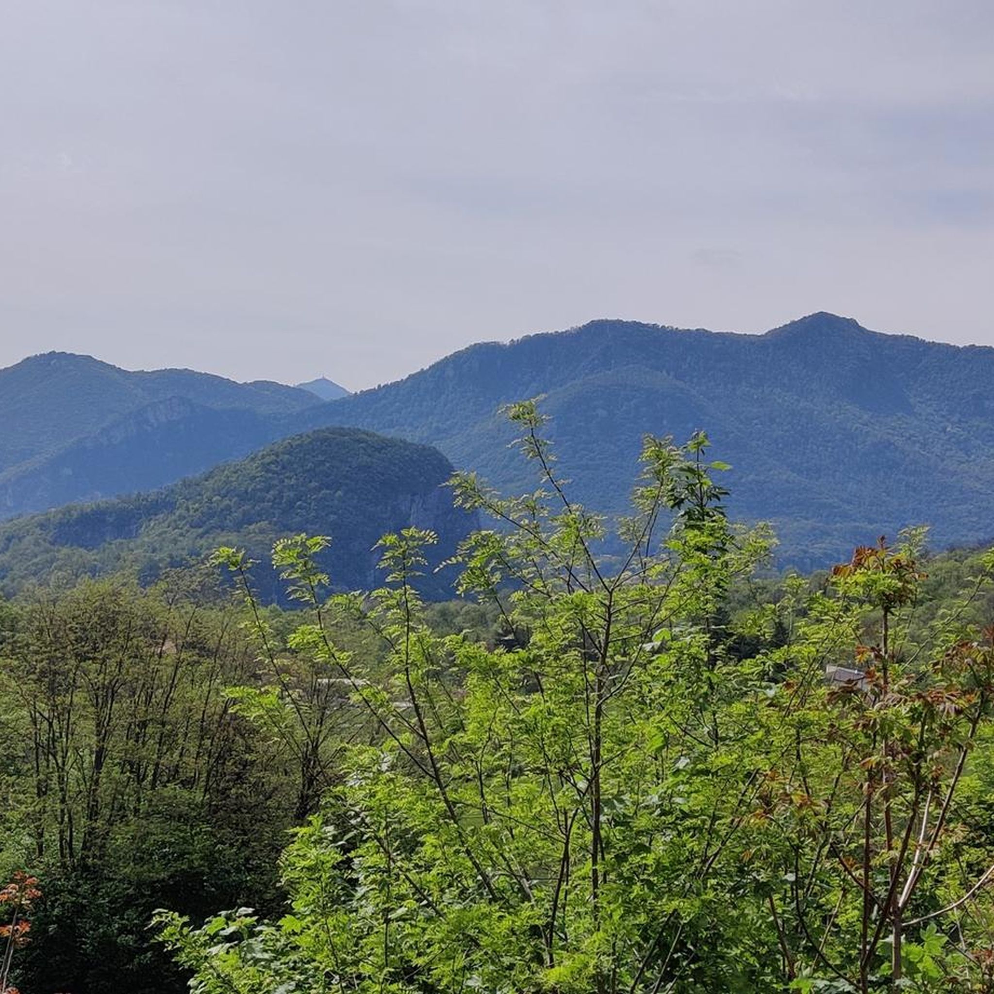
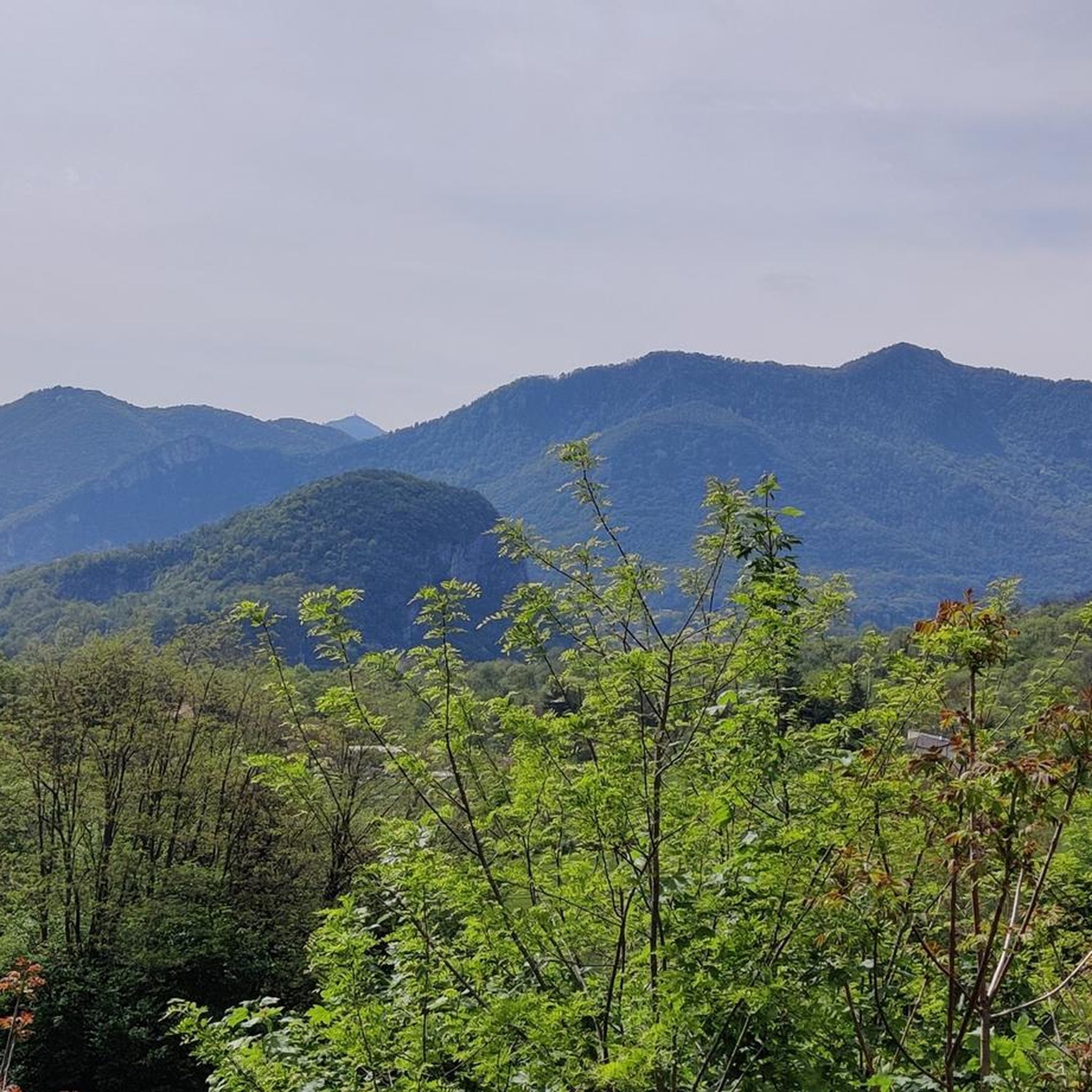
Monte Pravello (1015 m a.s.l.) is a splendid peak in the Lugano Prealps located exactly on the border between Italy (Province of Varese) and Switzerland (Canton Ticino). It represents the highest peak of the Valmorea valley and is located in an area of exceptional geological value, recognized as a UNESCO site in continuity with the nearby Monte San Giorgio. This mountain is a very popular destination for trekking and history lovers due to the presence of the remains of the Cadorna Line, the fortified defensive system built during the First World War. From its summit, you can enjoy a spectacular panoramic view of Lake Ceresio (Lake Lugano) and the surrounding Alpine chains.
0
0

Fantastic panorama of Lake Lugano, very similar to the one enjoyed from the nearby Monte Orsa and better than the one from Poncione d'Arzo. Among the three peaks, a must-visit are the trenches and tunnels of the Cadorna Line. Impressive is the path descending north towards Ca del Monte, Monte Giumello, and Porto Ceresio, but the path of 1000 steps is not easy either. It is simpler to ascend from the military road of Orsa and from the Rifugio/Bivacco Pravello.
2
0

A walk immersed in nature and a panoramic point at an altitude of 1,000 meters with a beautiful view of Lake Ceresio and the Swiss Alps. You can find my hike here: https://youtu.be/sMQUJl1w3dM?si=zqTZkZKqTV1s9Qve
0
0

I spent the night here in a tent on my border tour around Switzerland. The space conditions are tight, but the experience is fantastic. The stage is described in the book "Meine grösste Grenzerfahrung. ..." on pages 158-160 including illustrations. www.Stadt-Land-Spirit.ch
1
0

Noteworthy and well preserved is the pictorial decoration of the apse basin with Christ Pantocrator in a mandorla, the symbols of the four Evangelists in the band below and the figures of the Doctors of the Church on the sides of the central mandorla. By an unknown artist, they can be dated chronologically between the fifteenth and sixteenth centuries.
0
0
Inside, it was once extensively frescoed, today only fragments remain on the walls of the oratory.
0
0
The oratory, a simple single-apse hall, is flanked on the left by a tall, slender six-story bell tower. The gabled façade is divided into three parts by pilaster strips and crowned by arches.
0
0
Frequently Asked Questions
What kind of views can I expect on hikes around Viggiù?
Hiking in Viggiù offers magnificent panoramic views. From peaks like Monte Orsa and Monte Pravello, you can see Lake Ceresio (Lake Lugano), the surrounding Prealps, the hills of Brianza, and even the majestic Swiss Alps and mountains of the Ossola region. Many routes traverse ridge trails, providing expansive vistas.
Are there any easy hiking trails suitable for beginners in Viggiù?
While many routes are moderate, Viggiù offers paths suitable for varying fitness levels. For a relatively shorter and less strenuous option that still provides historical context, consider the Monte Orsa, Monte Pravello e Poncione d'Arzo route, which is 2.6 km long and takes about 50 minutes.
Can I find circular hiking routes in the Viggiù area?
Yes, circular routes are a popular option. A notable one is the Monte Orsa and Monte Pravello Loop, which is 8.6 km and takes around 3 hours and 21 minutes. This loop offers historical insights into the Cadorna Line and stunning views of Lake Lugano.
What historical sites can I explore while hiking near Viggiù?
Viggiù is rich in history. The most prominent historical features are the well-preserved fortifications of the Cadorna Line, an Italian defensive line from World War I. Hikers can explore trenches, bunkers, and defensive positions along the ridge between Monte Orsa and Monte Pravello. Explanatory panels provide context, making for an evocative experience. Additionally, along the route From Viggiù to Cantello (via Trail 466), you can find a medieval Romanesque church adorned with ancient frescoes.
Are there any waterfalls or significant natural attractions near Viggiù?
While Viggiù itself is known for its panoramic views and historical sites, the surrounding region offers natural attractions including waterfalls. You can explore highlights such as the Waterfall and Panoramic Terrace of Val Mara or the Valganna Waterfalls and Caves, which are accessible from Viggiù.
What do other hikers enjoy most about the trails in Viggiù?
The trails in Viggiù are highly rated by the komoot community, with an average score of 4.4 stars from over 700 reviews. Hikers often praise the unique combination of natural beauty, especially the panoramic views of Lake Lugano and the Alps, with the historical significance of the Cadorna Line fortifications.
Are there any long-distance hiking options starting from Viggiù?
Yes, for those seeking a longer adventure, the Sentiero Italia from Viggiù to Bizzarone is a challenging 22.6 km trail. This route takes approximately 6 hours and 26 minutes and follows a border trail through Italian-Swiss woodlands, featuring historic churches and peaceful lake views.
What is the best season for hiking in Viggiù?
The region's diverse landscapes, including forests and ridge trails, make it enjoyable across multiple seasons. Spring and autumn offer pleasant temperatures and vibrant foliage, while summer provides longer daylight hours. Winter hiking is also possible, though some higher or more exposed trails might require appropriate gear and caution.
Are there any specific landmarks or points of interest to look out for on the trails?
Beyond the Cadorna Line, hikers can discover the historical 'Stone of Viggiù' quarries, which have a rich history tied to local stonemasons. The Arzo marble quarries are also mentioned as a point of interest on some routes. For broader scenic views, look for highlights like the View from Monte San Salvatore or the Porto Ceresio Waterfront Promenade in the wider area.
How many hiking trails are available in the Viggiù area?
There are over 10 distinct hiking routes available around Viggiù, catering to various difficulty levels. These include moderate paths through forests and more challenging routes that require good fitness and sturdy shoes.
Is there a particularly challenging hike for experienced hikers?
For experienced hikers looking for a challenge, the Big Bench – Cadorna Line loop from Viggiù is a demanding option. This 17.7 km route involves significant elevation gain and takes approximately 6 hours and 43 minutes to complete, offering extensive exploration of the Cadorna Line fortifications.
Most popular attractions around Viggiù

Get inspired with the komoot mobile app


Explore more
Browse the best Hikes in other regions.
