The 20 Most Amazing Peaks around Rancio Valcuvia
Best mountain peaks around Rancio Valcuvia are nestled within the Pre-Alps of Varese, providing access to several notable peaks and elevated viewpoints. The region offers opportunities for mountain enthusiasts to explore natural beauty, historical sites, and panoramic vistas. While Rancio Valcuvia is situated in a valley, its surroundings feature diverse terrain for hiking and exploration.
Best mountain peaks around Rancio Valcuvia
- The most popular mountain peaks is Cross at Pizzoni di Laveno, a summit that offers a magnificent panorama…
Last updated: October 9, 2026
View from Sasso del Ferro
Highlight • Viewpoint
Translated by Google •
Tip by

Cross at Pizzoni di Laveno
Highlight • Summit
Translated by Google •
Tip by

Sign up now to discover places like this
Get recommendations on the best single tracks, peaks, & plenty of other exciting outdoor places.
Monte Chiusarella — Summit and Summit Cross
Highlight • Summit
Translated by Google •
Tip by

Cuvignone Pass
Highlight • Mountain Pass
Translated by Google •
Tip by

Monte Piambello
Highlight • Summit
Translated by Google •
Tip by

Sign up for free to discover even more peaks around Rancio Valcuvia.
Already have an account?
Start today with a free account
Your next adventure awaits.

Tips from the Community

Passo S. Antonio Vararo / Cuvignone 1,036 m Passage at 1,036 meters above sea level From the South: Cittiglio to the North: Porto Valtravaglia About 200 hairpin bends on asphalt Strada Provinciale 8 https://stradedamoto.it/strade.asp?RicPas=4281
10
0
Passo del Monte Cuvignone Via Vararo, Cittiglio / Castelveccana VA The Cuvignone Pass (1,036 m above sea level) is a pass near Vararo, in the Varese area between Valcuvia and Luinese. In cycling, it is known for its demanding climb, which can be tackled from various sides (directly from Cittiglio or Castelveccana, or indirectly after climbing Sant'Antonio or crossing the San Michele Pass). It has been used for training since the time of Alfredo Binda (originally from the area) and offers particularly technical and demanding descents. Ivan Basso also trained there. The pass is also famous in the automotive world, as it has been the most selective timed section of the "ACI Varese Rally" since the 80s, today the "Rally dei Laghi". Even in motorsport, as in cycling, it has been tackled in all directions, and in all directions it has always stood out for its difficulty, consisting of fast sections, others slower but very technical, narrow hairpin bends uphill and downhill – all over a length of about 12/14 km at the discretion of the organizer. Text / Source: wikipedia.org/wiki/Passo_del_Cuvignone https://it.wikipedia.org/wiki/Passo_del_Cuvignone
10
0

Attention. If you descend towards Cuasso al monte towards the disused hospital, former sanatorium, the road is then blocked by a huge, insurmountable gate. Apparently, there is a path to the left of the hospital buildings. Right in front of the gate to exit, you can climb onto the low wall (there are steps) which is quite high and by doing so, following it for 20 meters, you avoid this barrier. Be careful, especially if you have a bike, of brambles and not falling.
0
0

Getting to the top is exciting.
0
0


a classic from the Varese area. It's worth it.
2
0


Pleasant. Be very careful when cutting through the woods or taking the short route. The gentlest route, starting from Rasa keeping to the right, is suitable for practically everyone.
0
0
Frequently Asked Questions
What are some of the most popular mountain peaks and viewpoints around Rancio Valcuvia?
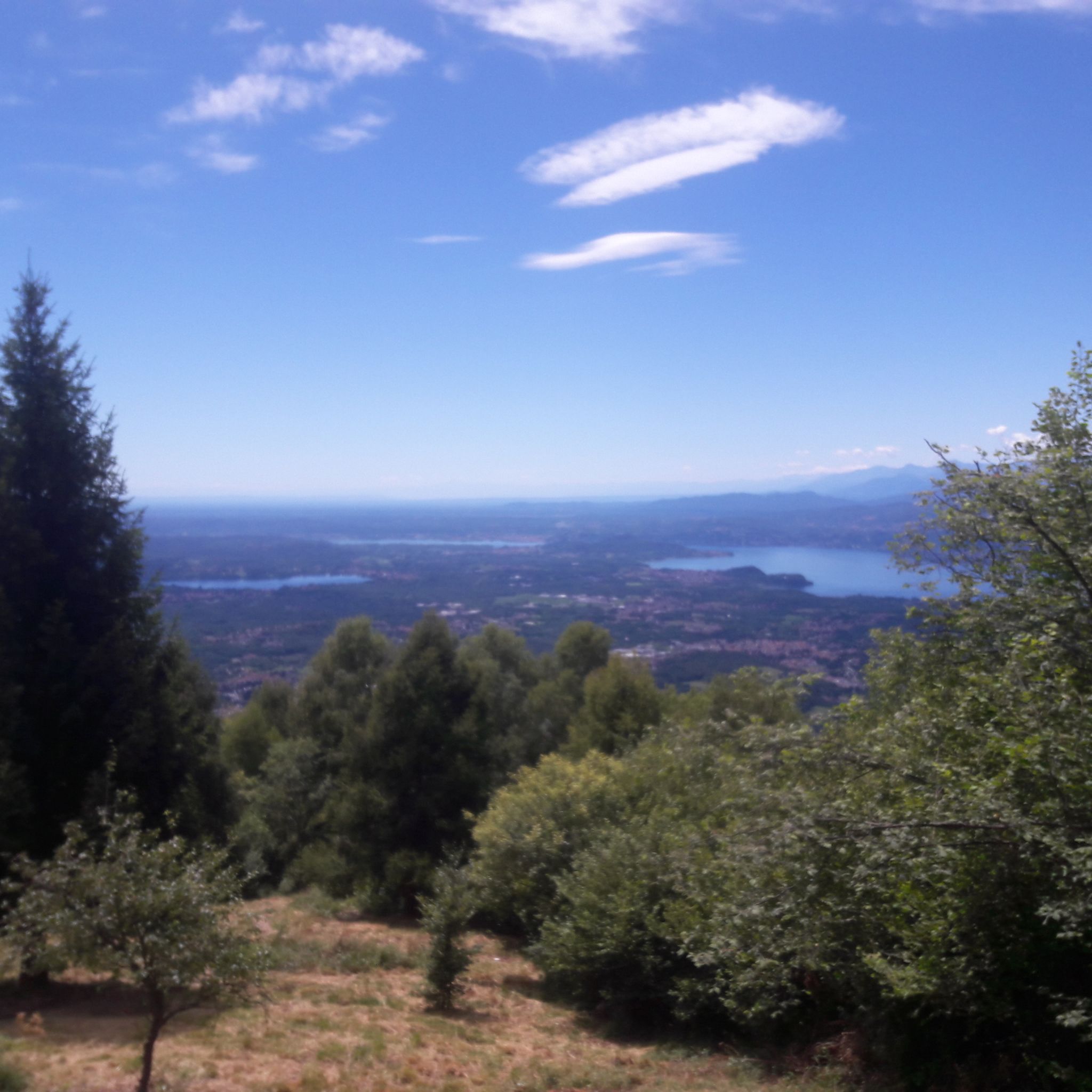
The region offers several highly-rated peaks and viewpoints. Among the most popular are Cross at Pizzoni di Laveno, known for its magnificent panorama over Lake Maggiore, and Monte Chiusarella — Summit and Summit Cross, which provides a breathtaking 360° panorama of the lakes and the Alpine belt. Another favorite is View from Sasso del Ferro, offering great views of Lake Maggiore and Varese.
Are there family-friendly mountain trails near Rancio Valcuvia?
Yes, there are options suitable for families. Monte Chiusarella — Summit and Summit Cross is categorized as family-friendly and offers a rewarding experience with its panoramic views. For easier walks, consider routes like the 'Cascata di Rancio Valcuvia – Ronco Waterfall loop from Rancio Valcuvia' or the 'Rancio Valcuvia Pedestrian Path – Laghetto di Valcuvia loop from Rancio Valcuvia', both listed as easy hiking trails in the area. You can find more hiking options on the Hiking around Rancio Valcuvia guide.
What kind of natural features can I expect to see on the mountain peaks?
The mountain peaks around Rancio Valcuvia offer diverse natural beauty. On Monte Piambello, you'll find trails winding through beautiful beech, chestnut, birch, and fir forests, which are particularly vibrant in autumn. This peak is also of volcanic origin with unique porphyry rock formations. Monte Chiusarella features 'Prati Magri' (meadows on calcareous soil) that are of great naturalistic interest. Many peaks, like Monte Nudo, offer expansive, verdant landscapes with stunning 360-degree views.
Are there any historical sites or landmarks on these mountain peaks?
Yes, the region has historical significance. Monte Piambello holds historical interest with remnants of the Linea Cadorna fortifications from World War I. Similarly, Forte di Orino, an ancient fortress on a rocky spur, is part of the Linea Cadorna defensive system, combining panoramic views with historical importance. The summit cross on Monte Chiusarella is also a notable man-made monument.
What is the best time of year to visit the mountain peaks near Rancio Valcuvia?
While the mountains can be enjoyed year-round, autumn is particularly enchanting for visiting peaks like Monte Piambello, due to its vibrant beech, chestnut, birch, and fir forests. Clear days in any season will offer the best panoramic views from the summits.
What outdoor activities can I do near the mountain peaks of Rancio Valcuvia?
Beyond hiking, the area around Rancio Valcuvia is excellent for various outdoor activities. Cyclists frequent the demanding climbs and scenic roads around Cuvignone Pass. You can find numerous routes for cycling in the Cycling around Rancio Valcuvia guide. There are also several running trails, including 'Orino Fortress loop from Brinzio', detailed in the Running Trails around Rancio Valcuvia guide.
How challenging are the mountain trails around Rancio Valcuvia?
The difficulty varies. Peaks like Cross at Pizzoni di Laveno involve a steep ascent over large boulders, making it a challenging climb. Cuvignone Pass is known for its demanding climbs, especially popular with cyclists. However, Monte Piambello is generally considered pleasant and accessible to most hikers. Trails to Monte Nudo can be challenging, but many are well-maintained. Always check specific route details for difficulty ratings.
Where can I find panoramic views of the lakes and Alps?
Many peaks offer spectacular vistas. From Cross at Pizzoni di Laveno, you get a magnificent panorama over Lake Maggiore. Monte Chiusarella — Summit and Summit Cross provides a 360° panorama of the lakes and the Alpine and pre-Alpine belt. View from Sasso del Ferro offers a great view of the southern part of Lake Maggiore and Varese. Monte Nudo also boasts stunning 360-degree views of Varese, Lake Maggiore, and the distant Alps.
What do visitors enjoy most about the mountain peaks in this region?
Visitors frequently praise the magnificent panoramic views, especially over Lake Maggiore and the surrounding Alpine landscape. The diverse trails, ranging from pleasant forest walks on Monte Piambello to challenging climbs, are also highly appreciated. The combination of natural beauty with historical elements, such as the Linea Cadorna fortifications, adds another layer of interest for explorers.
Are there any less crowded mountain hikes or viewpoints?
While specific crowd levels can vary, exploring some of the lesser-known trails or visiting during off-peak hours can offer a more tranquil experience. The region has many trails beyond the most popular summits. For instance, the trails leading to Monte Nudo, while challenging, are appreciated for their effort in maintenance and offer splendid views away from more frequented spots. The Hiking around Rancio Valcuvia guide provides a wide range of routes, some of which might be less traveled.
Can I bring my dog on the hiking trails?
Many outdoor trails in the region are generally dog-friendly, but it's always advisable to check specific regulations for nature reserves or protected areas. For general hiking routes, dogs are often welcome, especially on trails that pass through forests and open areas. Ensure your dog is on a leash and you carry waste bags. Always be mindful of other hikers and local wildlife.
Most popular routes around Rancio Valcuvia
Most popular attractions around Rancio Valcuvia

Get inspired with the komoot mobile app


Explore more
See even more amazing summits around Rancio Valcuvia with these guides:
