The best walks and hikes around Teuffenthal (BE)
4.6
(3938)
27,256
hikers
847
hikes
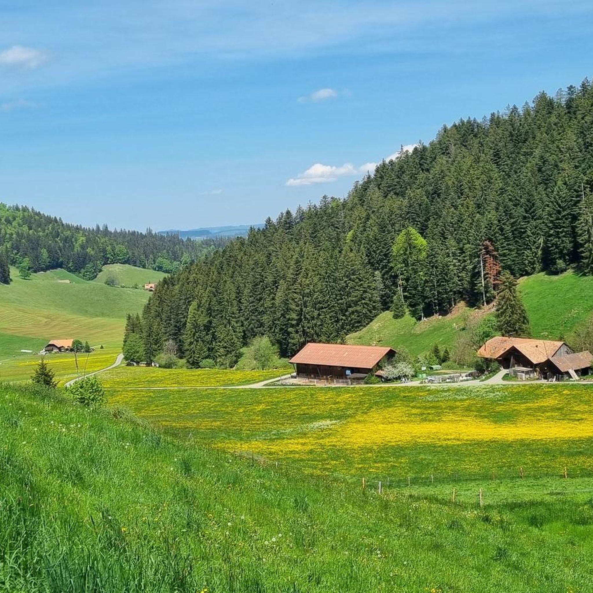
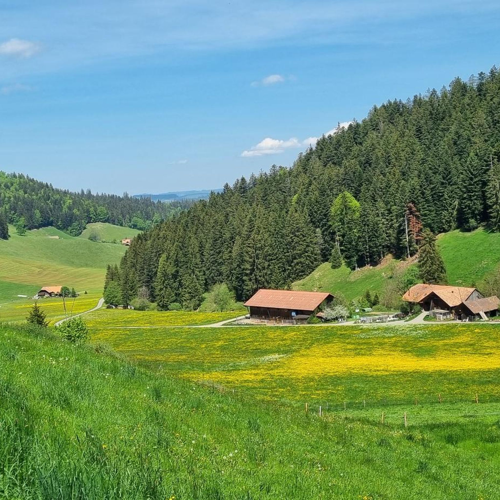
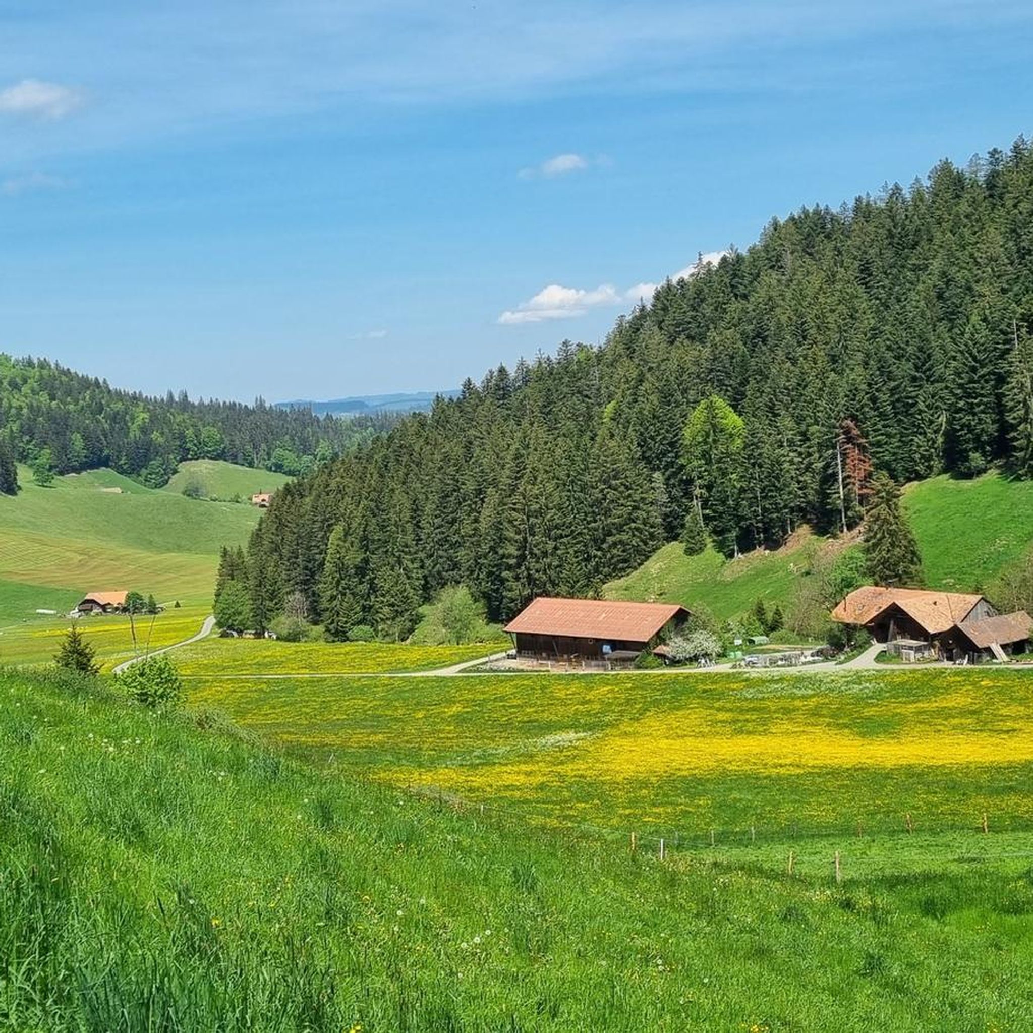
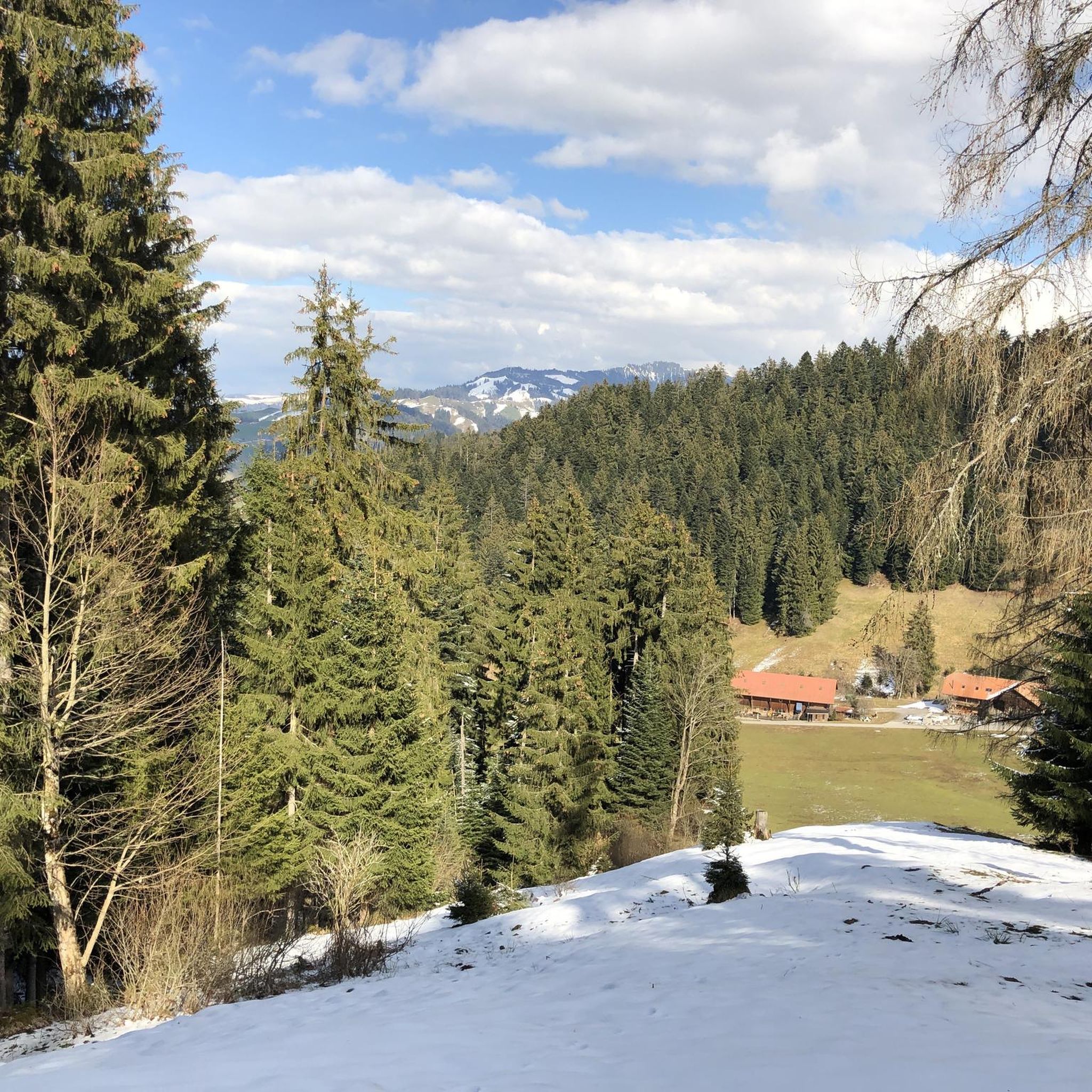
Hiking around Teuffenthal (BE) offers diverse landscapes in the left Zulgtal valley, east of Thun. The region is characterized by its pre-Alpine environment, featuring the prominent Blueme mountain with an observation tower at 1,392 meters above sea level. Extensive forests cover nearly half of the area, complemented by agricultural land and pastures, providing varied terrain for outdoor activities. From higher elevations, views of Lake Thun and the Bernese Alps are visible.
Best hiking trails around Teuffenthal (BE)
- The most popular…
Last updated: September 30, 2026
4.5
(6)
64
hikers
3.99km
01:29
250m
250m
Easy hike. Great for any fitness level. Easily-accessible paths. Suitable for all skill levels.
4.5
(36)
107
hikers
13.6km
04:56
820m
820m
Moderate hike. Good fitness required. Easily-accessible paths. Suitable for all skill levels.

4.9
(9)
19
hikers
4.73km
01:28
170m
170m
Easy hike. Great for any fitness level. Easily-accessible paths. Suitable for all skill levels.
5.0
(9)
46
hikers
Moderate hike. Good fitness required. Mostly accessible paths. Sure-footedness required.
3.7
(3)
29
hikers
5.40km
01:34
140m
140m
Easy hike. Great for any fitness level. Easily-accessible paths. Suitable for all skill levels.
Get access to more routes and recommendations from other explorers.
Already have an account?
Our route recommendations are based on thousands of hikes, rides, and runs completed by other people on komoot.
Start today with a free account
Your next adventure awaits.
Tips from the Community

The trail is finished. It was left relatively natural, which I think is great! So you ride over roots and such. Well done, thanks!
0
0

As of October 2025, the trail is still partially under construction. A nature-oriented trail.
0
0

On the heights of Lake Thun, the view is splendid at just over 1,000 metres above sea level, between forests and mountain pastures.
0
0


Beautiful castle with a particular location, best admired from the outside while sailing on Lake Thun
2
0

A wonderful viewing point including a barbecue area. Fantastic views over Lake Thun as well as the Eiger, Mönch and Jungfrau, among others. Can also be done with a bike
0
0

Nice view of Thun and the lake
0
0
Frequently Asked Questions
How many hiking trails are available around Teuffenthal (BE)?
Teuffenthal (BE) offers a wide variety of hiking experiences, with over 880 routes available. These range from easy strolls to more challenging ascents, catering to different fitness levels.
What is the range of difficulty for hiking trails in Teuffenthal (BE)?
The trails around Teuffenthal (BE) offer a good mix of difficulties. You'll find over 450 easy routes, more than 360 moderate paths, and around 60 more challenging trails, ensuring there's something for everyone.
Are there family-friendly hiking options in Teuffenthal (BE)?
Yes, Teuffenthal (BE) is known for its family-friendly hiking options. Many trails are suitable for all ages, offering accessible and enjoyable experiences amidst the picturesque pre-Alpine environment.
Can I bring my dog on hikes in Teuffenthal (BE)?
While specific regulations can vary, generally, dogs are welcome on trails in Teuffenthal (BE). It's always recommended to keep them on a leash, especially in agricultural areas or near wildlife, and to clean up after them.
Are there circular hiking routes available in Teuffenthal (BE)?
Yes, Teuffenthal (BE) features several enjoyable circular walks. For instance, the Hiking loop from Heiligenschwendi is an easy 4.6 km loop that offers a pleasant experience.
What kind of views and natural features can I expect to see while hiking in Teuffenthal (BE)?
Hikers in Teuffenthal (BE) can enjoy diverse landscapes, including the prominent Blueme mountain with its observation tower at 1,392 meters, offering magnificent panoramic views over the Mittelland to the Jura mountains. You'll also find the idyllic Zulgtal valley, extensive forests, and from higher elevations, spectacular vistas of Lake Thun and the majestic Bernese Alps. A notable viewpoint is Äschlenalp.
Are there any waterfalls or caves to explore near Teuffenthal (BE)?
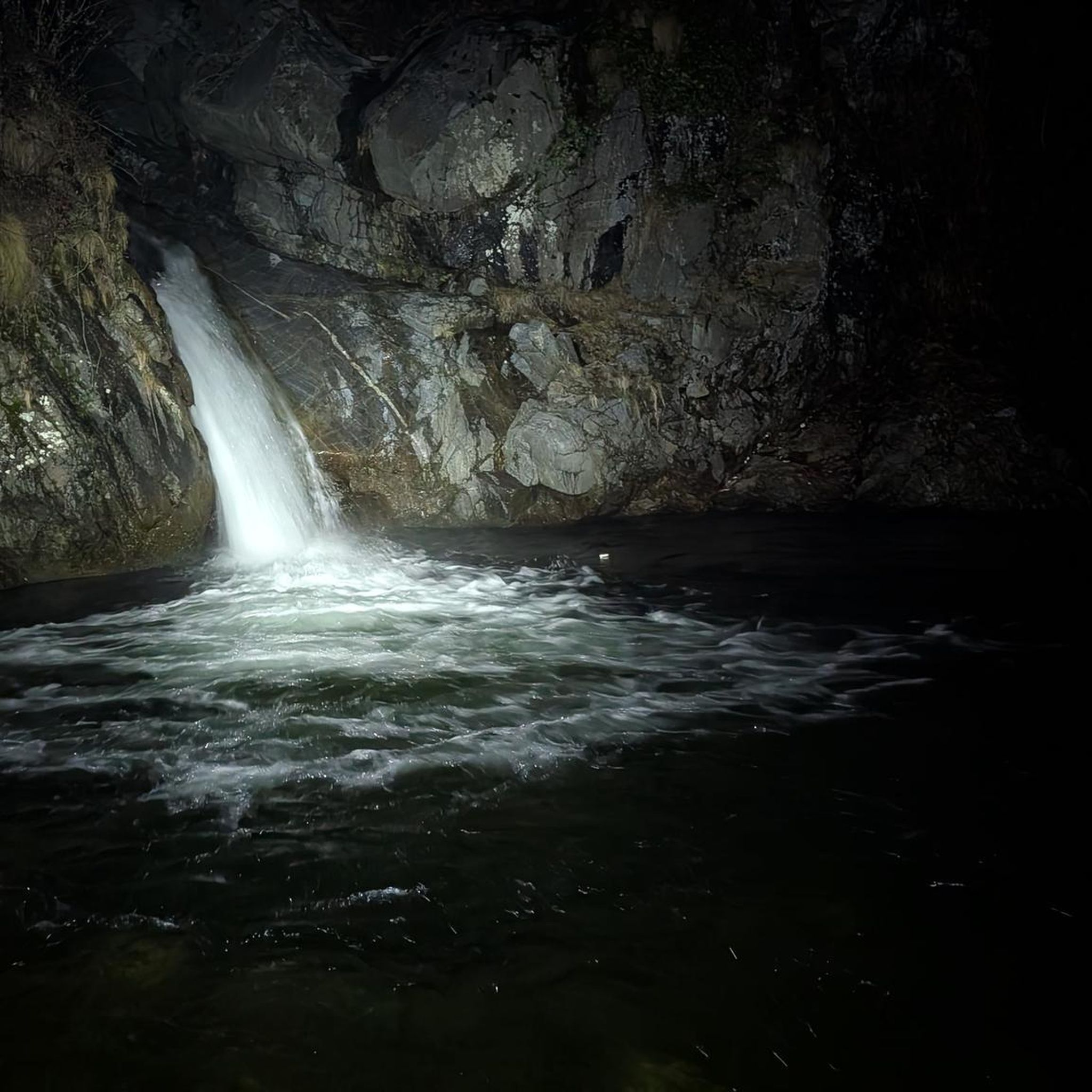
Yes, the region near Teuffenthal (BE) offers natural attractions like waterfalls and caves. You can explore the impressive St. Beatus Caves and the beautiful Waterfall in front of the Beatus Caves, which are popular highlights in the area.
When is the best time of year to go hiking in Teuffenthal (BE)?
The area around the Blueme mountain is described as a pleasant hiking spot throughout all four seasons, offering magnificent panoramic views year-round. Spring and autumn provide vibrant colors, while summer is ideal for longer days, and winter offers serene, snow-covered landscapes.
Is parking available at the trailheads in Teuffenthal (BE)?
While specific parking details for every trailhead are not provided, Teuffenthal (BE) is generally accessible for hikers. Many trailheads in the region offer designated parking areas, especially near popular starting points or villages. It's advisable to check local signage upon arrival.
What do other hikers enjoy the most about hiking in Teuffenthal (BE)?
The hiking experiences in Teuffenthal (BE) are highly rated by the komoot community, with an average score of 4.6 stars from over 3,100 reviews. Hikers often praise the diverse landscapes, the stunning panoramic views from elevated points like the Blueme Observation Tower, and the well-maintained trails suitable for various skill levels.
Can I reach hiking trails in Teuffenthal (BE) using public transport?
Teuffenthal (BE) is nestled in the left Zulgtal valley, approximately 10 kilometers east of Thun. Public transport connections are available to reach the general area, and local bus services often connect to smaller villages and trailheads. Planning your route with public transport in mind is recommended.
Are there any challenging routes for experienced hikers in Teuffenthal (BE)?
Yes, for experienced hikers seeking a challenge, Teuffenthal (BE) offers routes with significant elevation gain. An example is the View of Lake Thun – View of Lake Thun from Allmend loop from Heiligenschwendi, a moderate 13.7 km path with over 800 meters of ascent, providing expansive vistas over the pre-Alpine landscape and Lake Thun.
What are some easy hiking options for a quick outing?
For an easy and relatively quick hike, consider the Blueme loop from Chumm. This 5.4 km trail leads through forested areas around the Blueme mountain and can typically be completed in about 1 hour 34 minutes.
Most popular routes around Teuffenthal (BE)
Most popular attractions around Teuffenthal (BE)

Get inspired with the komoot mobile app


Explore more
Browse the best Hikes in other regions.
