The best road cycling routes around Tentlingen
4.6
(244)
8,596
riders
234
rides
Road cycling routes around Tentlingen are situated in the Sense district of the Fribourg canton, Switzerland, characterized by a hilly landscape with a mix of forested and agricultural land. The region's topography, including its position above the Ärgera/Gérine canyon, provides varied terrain for road cyclists. This area offers routes with ascents and descents, often on well-maintained surfaces, set against a backdrop of pre-Alpine scenery.
Best road cycling routes around Tentlingen
- The most popular road cycling route is Gurnigel Ascent –…
Last updated: May 14, 2026
4.8
(5)
200
riders
61.3km
03:27
1,330m
1,330m
Hard road ride. Very good fitness required. Mostly well-paved surfaces and easy to ride.
36
riders
51.1km
02:41
810m
810m
Moderate road ride. Good fitness required. Some segments of this route may be unpaved and difficult to ride.

Sign up for free
17
riders
25.5km
01:19
390m
390m
Moderate road ride. Good fitness required. Mostly well-paved surfaces and easy to ride.
10
riders
19.3km
01:06
320m
320m
Moderate road ride. Good fitness required. Some segments of this route may be unpaved and difficult to ride.
7
riders
61.6km
03:26
1,120m
1,120m
Hard road ride. Very good fitness required. Mostly well-paved surfaces and easy to ride.
Get access to more routes and recommendations from other explorers.
Sign up for free
Already have an account?
Our route recommendations are based on thousands of hikes, rides, and runs completed by other people on komoot.
Start today with a free account
Your next adventure awaits.
Login or Signup
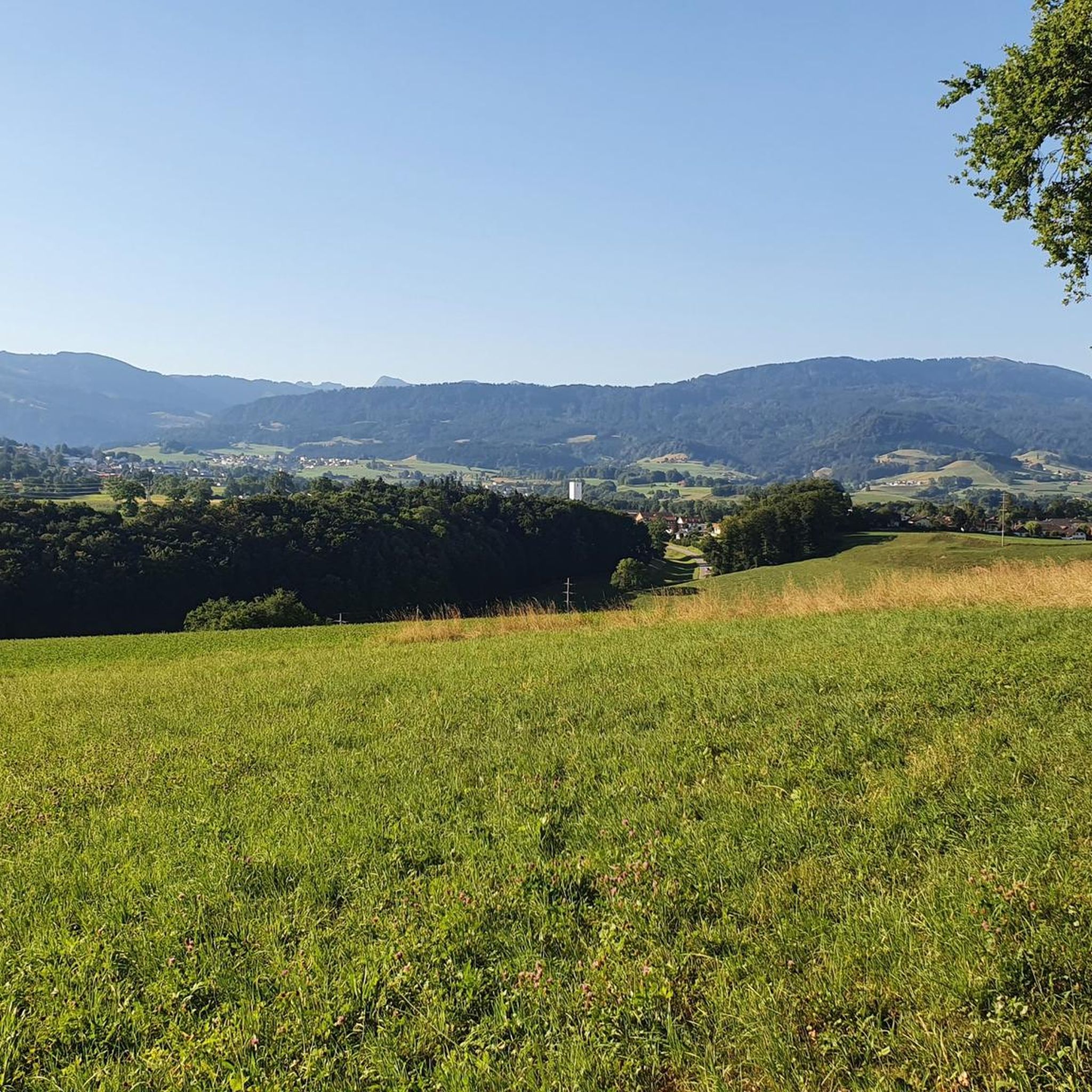
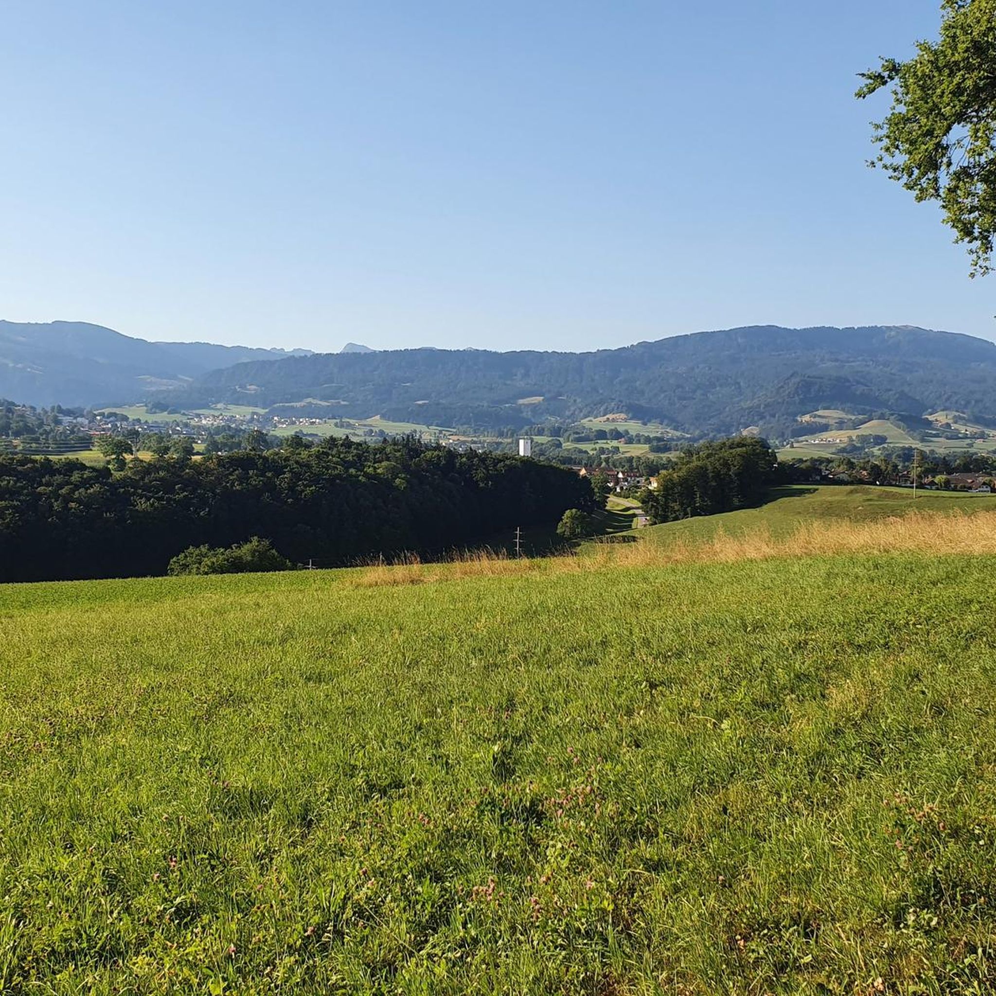
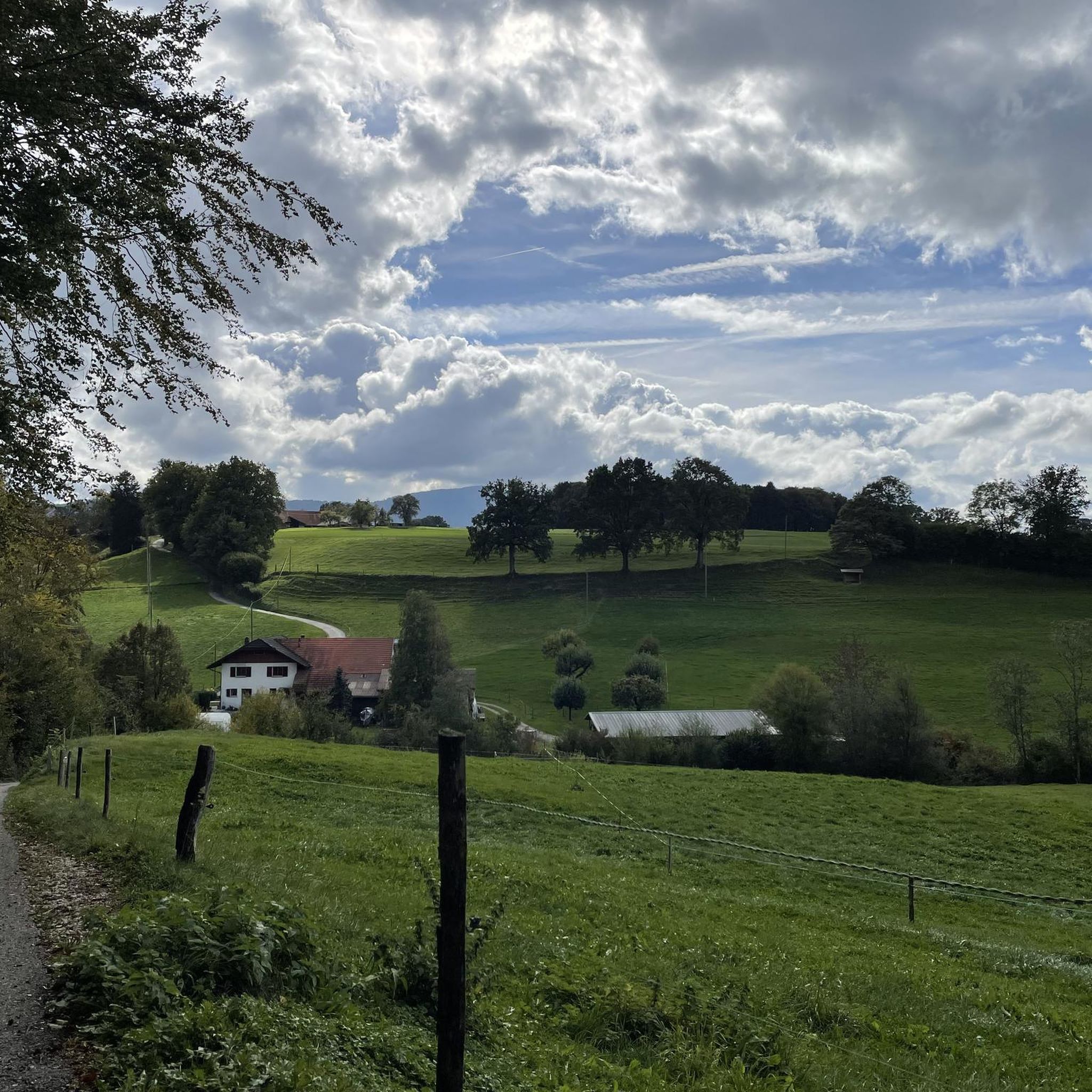
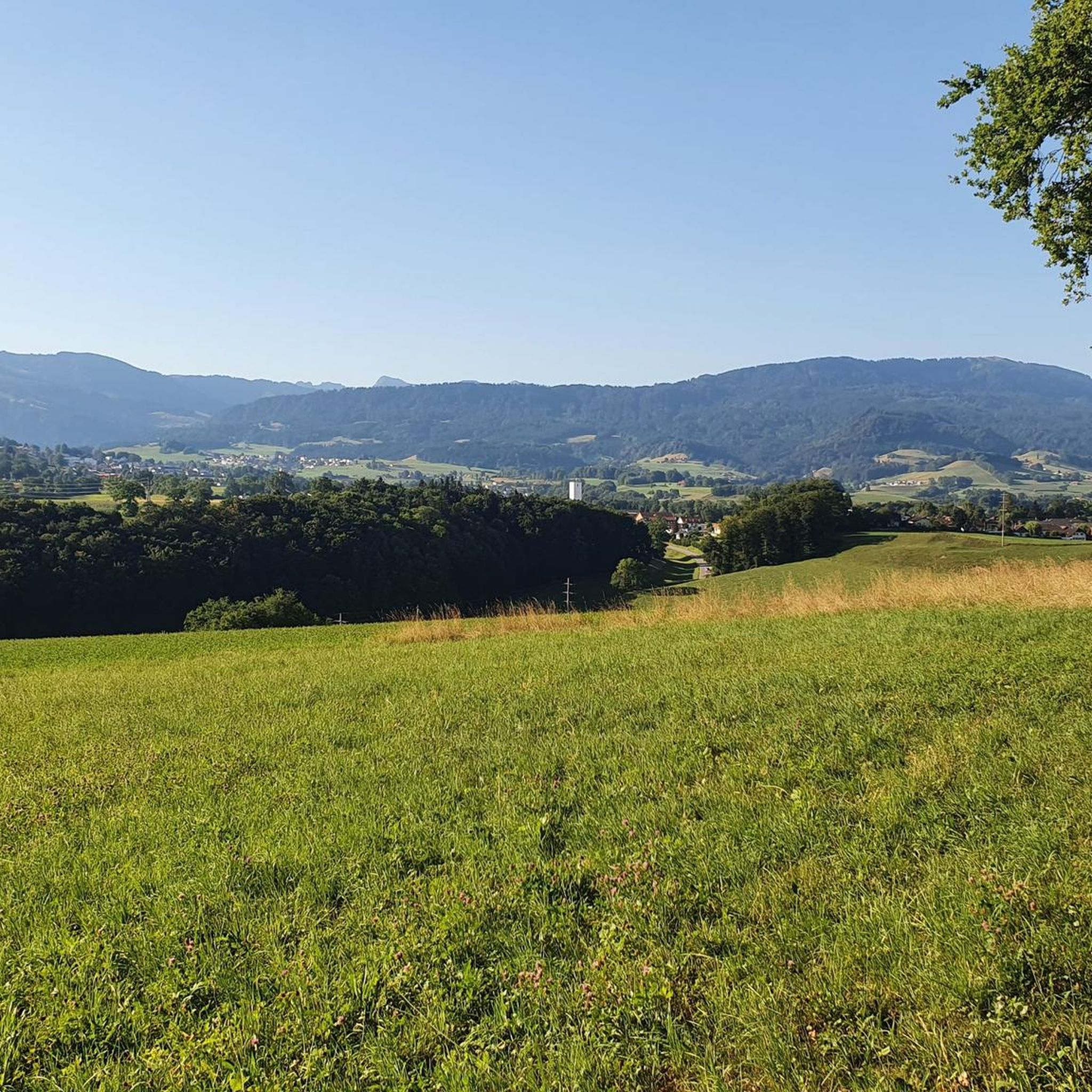
Tips from the Community

Looks nice. But the place is more for gentrified new money (sorry to say). But the restaurant is worth the visit.
0
0

Only during the week, otherwise there is too much traffic
1
0

Right at the beginning, a true natural gem awaits. The Ruchmühle Bridge spans the Sense – a wild, clear river that winds through an impressive gorge. The bridge is a popular access point for hikers and swimmers. Anyone who doesn't pause here for a moment will miss out on a truly powerful experience.
0
0

Wonderful views on the way up the Schwarzenbühl pass in the heart of the Gantrisch Nature Park.
0
0

On the climb to Gurnigel you will enjoy breathtaking Alpine scenery, the road winding through meadows, dense forests and the mountainous landscape of the Gantrisch region. The climb offers stunning views of the Bernese Alps and, if you are hiking in late spring or summer, you will see wildflowers covering the hillsides, adding a splash of colour to your hike.
0
0

Very friendly service! Last "gas station" before the climb to Riffenmatt. Everything else at: https://laterne-zumholz.weebly.com/
0
0

Very pretty, well-kept village. The water from the village fountain is very refreshing
0
0

When approaching the Gurnigel from the west, you cross the Kalte Sense, which accompanies you quite a bit further up the ascent.
0
0
Frequently Asked Questions
What kind of terrain can I expect on road cycling routes around Tentlingen?
Road cycling around Tentlingen is characterized by a hilly landscape, winding roads through forests, and agricultural land. The region, situated in the Sense district of the Fribourg canton, offers varied topography, including its position above the Ärgera/Gérine canyon, providing both challenging ascents and rewarding descents. You'll often find yourself on well-maintained surfaces set against a backdrop of picturesque pre-Alpine scenery.
How many road cycling routes are available in the Tentlingen area?
There are over 230 road cycling routes available around Tentlingen, catering to various ability levels. This includes 12 easy routes, 148 moderate routes, and 77 difficult routes, ensuring options for every cyclist.
Are there any challenging road cycling routes for experienced riders?
Yes, the Tentlingen area offers several challenging routes. A notable difficult route is the Gurnigel Ascent – Stierenhütte at Gurnigel Pass loop from Tentlingen, which is 38.1 miles (61.3 km) long and features a significant ascent towards the Gurnigel Pass.
What do other road cyclists think about the routes in Tentlingen?
The road cycling routes in Tentlingen are highly rated by the komoot community, with an average score of 4.6 stars from over 230 reviews. Cyclists often praise the varied terrain, the beautiful pre-Alpine scenery, and the mix of forested and agricultural landscapes.
Are there any moderate road cycling options for intermediate riders?
Absolutely. A popular moderate route is the Rossens Dam – Rossens Dam loop from Le Mouret, a 30.9-mile (49.8 km) path that offers varied terrain and scenic views around the Rossens Dam. Another great option is the Rechthalten village center – Guglera House loop from Sensebezirk, which is 15.8 miles (25.5 km) long.
What natural features or landmarks can I see while cycling in the Tentlingen region?
The Fribourg region, including Tentlingen, is known for its pre-Alpine scenery, winding roads through forests, and agricultural land. You can enjoy views of the Ärgera/Gérine canyon. While cycling, you might also spot various mountain peaks such as La Berra summit or Guggershorn Summit and Viewpoint, offering stunning panoramic vistas.
Are there any shorter road cycling routes suitable for a quicker ride?
Yes, for a quicker ride, you could consider the Kangaroo Sanctuary – Plasselbschlund loop from Tentlingen. This route is 19.1 miles (30.8 km) long and offers a moderate challenge, typically completed in under two hours.
What is the best time of year to go road cycling around Tentlingen?
Given the region's hilly and pre-Alpine characteristics, the best time for road cycling around Tentlingen is generally from late spring through early autumn. During these months, the weather is typically more stable, and the scenic routes are at their most vibrant, offering comfortable temperatures for longer rides.
Are there any road cycling routes that pass through villages or offer cultural sights?
Yes, the Fribourg region features routes that pass through charming towns and offer views of historical landmarks. For instance, the Rechthalten village center – Guglera House loop from Sensebezirk leads through village centers, blending athletic pursuit with cultural discovery.
Can I find routes with significant elevation gain in the Tentlingen area?
Definitely. The Sense district is known for road biking routes with considerable elevation gains. The Gurnigel Ascent – Stierenhütte at Gurnigel Pass loop from Tentlingen, for example, features over 1300 meters of elevation gain, providing a substantial challenge for climbers.
Are there any other notable road cycling routes in the wider Fribourg canton?
Beyond Tentlingen, the wider Fribourg canton offers diverse road cycling experiences. An example of a route with significant elevation is the Small Pass Before the Big One – Köniz to Schwarzenburg Route loop from Giffers, which covers over 61 kilometers with more than 1100 meters of ascent.
Most popular routes around Tentlingen
Most popular attractions around Tentlingen

Get inspired with the komoot mobile app


Explore more
Browse the best Road cycling routes in other regions.
