The best walks and hikes around Teichland
4.5
(1474)
6,788
hikers
34
hikes
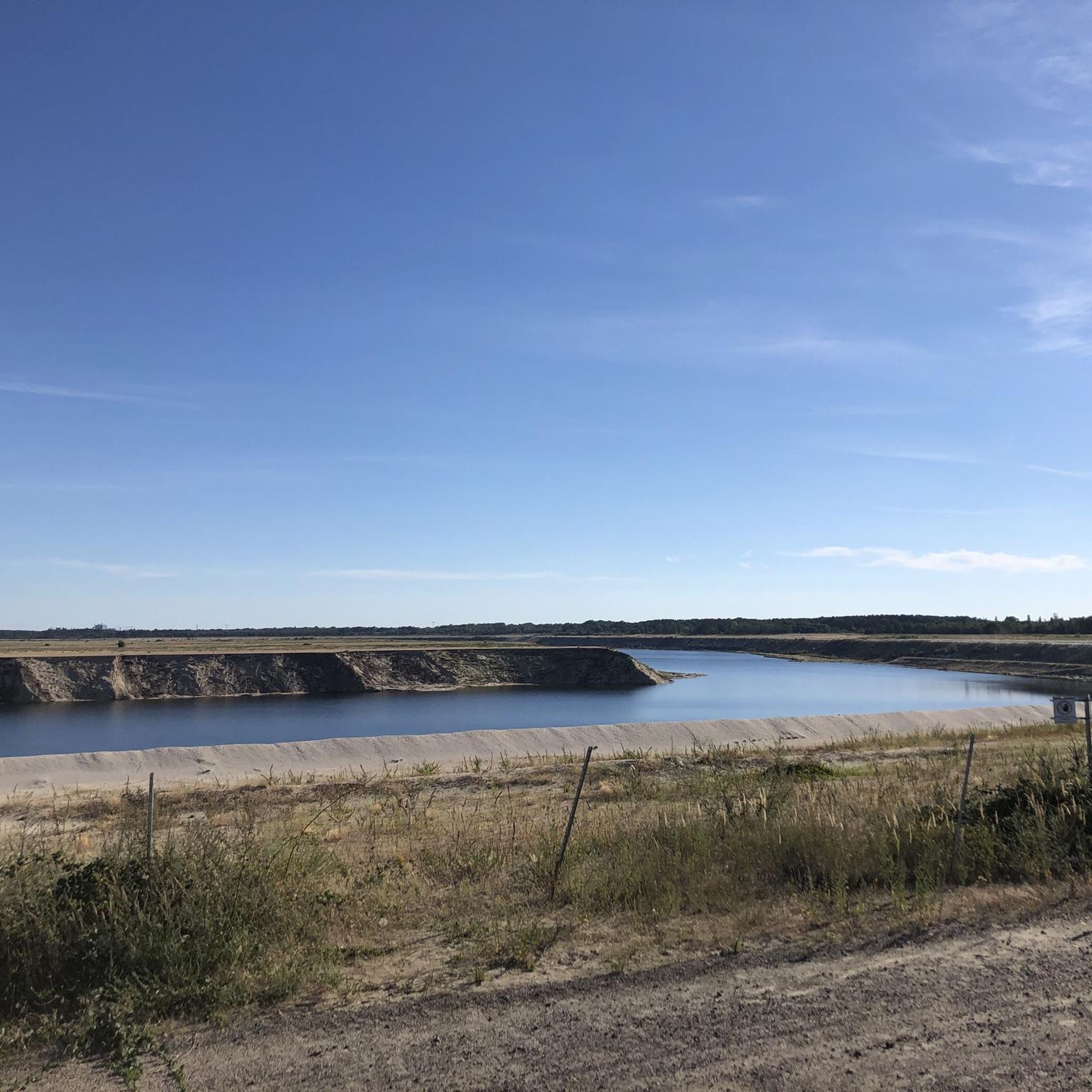
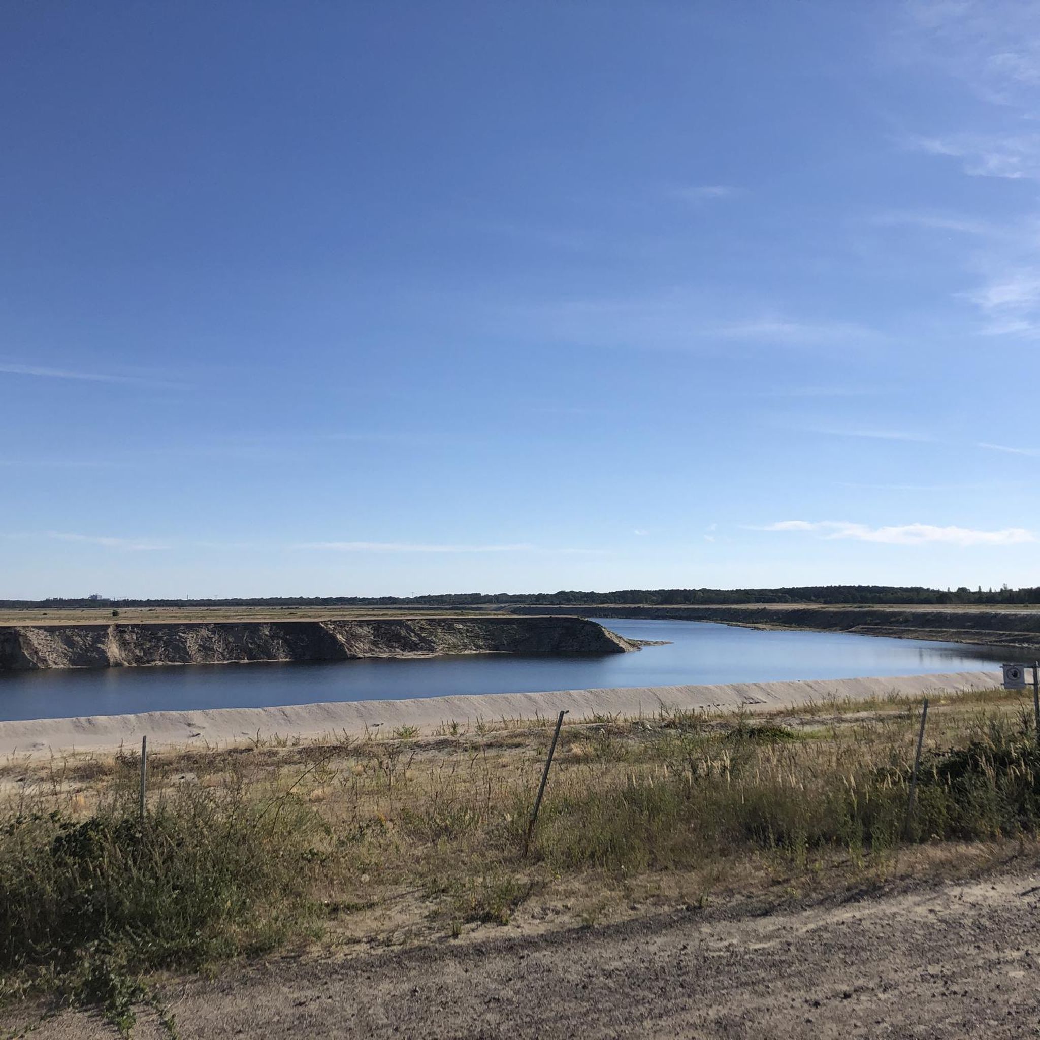
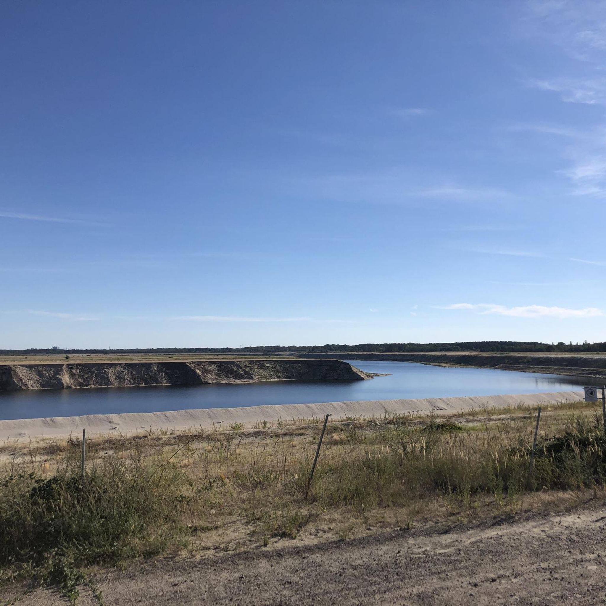
Hiking around Teichland offers a unique landscape shaped by recultivated former mining operations, notably the Bärenbrücker Höhe. This region features diverse natural areas with pine forests and seabuckthorn bushes, providing varied flora and fauna. Situated at the edge of the Spreewald, a UNESCO Biosphere Reserve, Teichland connects to a network of trails through traditional forests and unique post-mining and pond landscapes. The nearby Peitz Ponds also contribute to the area's natural appeal.
Best hiking trails around Teichland
- The most popular…
Last updated: July 11, 2026
4.5
(19)
96
hikers
Easy hike. Great for any fitness level. Easily-accessible paths. Suitable for all skill levels.
4.3
(7)
37
hikers
Easy hike. Great for any fitness level. Easily-accessible paths. Suitable for all skill levels.

Sign up for free
4.2
(5)
30
hikers
5.29km
01:21
10m
10m
Easy hike. Great for any fitness level. Easily-accessible paths. Suitable for all skill levels.
5.0
(2)
22
hikers
Moderate hike. Good fitness required. Easily-accessible paths. Suitable for all skill levels.
3.0
(1)
7
hikers
15.4km
03:57
60m
60m
Moderate hike. Good fitness required. Easily-accessible paths. Suitable for all skill levels.
Get access to more routes and recommendations from other explorers.
Sign up for free
Already have an account?
Our route recommendations are based on thousands of hikes, rides, and runs completed by other people on komoot.
Start today with a free account
Your next adventure awaits.
Login or Signup
Tips from the Community

Nice sound when water runs there
0
0
With a view of the Baltic Sea
0
0
You can make a good stop here
0
0
Beautiful view of the Baltic Sea
0
0
Very informative sign, if it weren't for these scribbles all the time.
0
0
A beautiful formed lake.
0
0

Mostly shady spot for a short break before heading uphill.
0
0

Observation tower with superb panoramic views
4
0
Frequently Asked Questions
What kind of landscape can I expect to see while hiking in Teichland?
Teichland offers a unique landscape shaped by the recultivation of former mining operations, most notably the Bärenbrücker Höhe. You'll find diverse natural areas with pine forests and seabuckthorn bushes, providing varied flora and fauna. The region also borders the Spreewald, a UNESCO Biosphere Reserve, offering access to traditional trails through forests and unique post-mining and pond landscapes, including the nearby Peitz Ponds.
Are there any viewpoints or panoramic spots in Teichland?
Yes, from the highest point of the Bärenbrücker Höhe, you can ascend an observation tower to enjoy expansive panoramic views of the surrounding Lusatian landscape. Additionally, the Merzdorf Observation Tower – Viewpoint Over the Baltic Sea loop from Neuendorf - Nowa Wjas offers another opportunity for scenic vistas.
How challenging are the hiking trails in Teichland?
The hiking trails in Teichland are generally considered easy to moderate, with a low gradient, making them suitable for various fitness levels. Out of over 35 routes, 22 are classified as easy, 11 as moderate, and only 2 as difficult. This makes the area accessible for casual walkers and families, as well as those looking for slightly longer excursions.
Are there family-friendly hiking options in Teichland?
Yes, many routes in the broader Spreewald region, which borders Teichland, are pram-friendly and feature nature trails and play areas for children. The low gradient of most trails also makes them ideal for families. The Unterteich Lake – View of the island loop from Bärenbrück - Barbuk is an easy 3.3-mile path that families can enjoy.
Can I bring my dog on the hiking trails in Teichland?
Teichland and the surrounding Spreewald region generally welcome dogs on trails. While specific leash rules can vary by exact location or nature reserve, it's always recommended to keep your dog on a leash to protect local wildlife and ensure a pleasant experience for all hikers. Many of the easy, open trails are suitable for walks with your canine companion.
What are some interesting landmarks or attractions near the hiking routes?
Beyond the natural beauty, you can explore several interesting landmarks. Near the observation tower on Bärenbrücker Höhe, you'll find a 'Slavic gods' grove' with impressive figures from mythology. The area also features historical sites like the Peitz Fortress Tower and the beautiful Branitz Palace and its surrounding park, which includes unique features like the Land Pyramid and Water Pyramid.
Are there circular hiking routes available in Teichland?
Yes, Teichland offers several circular hiking routes. A notable one is the 5.5-kilometer Rundwanderweg Bärenbrücker Höhe, which provides an accessible and largely car-free path through the recultivated landscape. The Large Boulder – Unterteich Lake loop from Teichland is another popular circular option, covering about 9.5 miles.
What do other hikers say about the trails in Teichland?
The trails in Teichland are highly rated by the komoot community, with an average score of 4.4 stars from over 70 reviews. Hikers often praise the unique recultivated mining landscapes, the peaceful atmosphere, and the well-maintained paths that offer a blend of natural beauty and interesting historical context.
When is the best time of year to go hiking in Teichland?
Teichland is enjoyable for hiking throughout much of the year. Spring and autumn offer pleasant temperatures and beautiful scenery, with changing foliage in the fall. Summer is also popular, though it can be warmer. Winter hiking is possible, especially on the lower-gradient trails, offering a different, serene experience of the landscape.
Are there places to eat or stay near the hiking trails?
Yes, the region offers options for refreshments and accommodation. For example, the area around Maust Mill features the Maust Mill Restaurant. The broader Teichland and Spreewald region has various cafes, pubs, and guesthouses, particularly in nearby villages, providing places to relax and refuel after your hike.
How can I get to the trailheads in Teichland, and is parking available?
Many trailheads in Teichland are accessible by car, and parking is generally available, especially near popular starting points like the Teichland Adventure Park or specific villages. For those relying on public transport, connections to the broader Spreewald region exist, though specific access to every trailhead might require some planning. The Rundwanderweg Bärenbrücker Höhe is largely car-free once you are on the trail itself.
Most popular routes around Teichland
Most popular attractions around Teichland

Get inspired with the komoot mobile app


Explore more
Browse the best Hikes in other regions.
