The best walks and hikes around Dorno
4.6
(117)
464
hikers
67
hikes
Hiking around Dorno offers an immersive experience within the flat, agricultural landscape of Italy's Lomellina region. The terrain is primarily characterized by extensive rice fields and a network of irrigation canals, creating a unique and serene environment. Situated between the Po and Ticino rivers, the area features fertile lands and historic farmsteads. These natural and cultural elements define the region's outdoor appeal for walking and cycling.
Best hiking trails around Dorno
- The most popular hiking route is Garlasco Town Center…
Last updated: October 4, 2026
4.4
(36)
168
hikers
24.5km
06:14
70m
90m
Hard hike. Very good fitness required. Easily-accessible paths. Suitable for all skill levels.
8
hikers
7.28km
01:50
10m
10m
Easy hike. Great for any fitness level. Easily-accessible paths. Suitable for all skill levels.

6
hikers
3.59km
00:54
10m
10m
Easy hike. Great for any fitness level. Easily-accessible paths. Suitable for all skill levels.
5.0
(1)
9
hikers
7.60km
01:55
10m
10m
Easy hike. Great for any fitness level. Easily-accessible paths. Suitable for all skill levels.
3
hikers
6.31km
01:35
10m
10m
Easy hike. Great for any fitness level. Easily-accessible paths. Suitable for all skill levels.
Get access to more routes and recommendations from other explorers.
Already have an account?
Our route recommendations are based on thousands of hikes, rides, and runs completed by other people on komoot.
Start today with a free account
Your next adventure awaits.
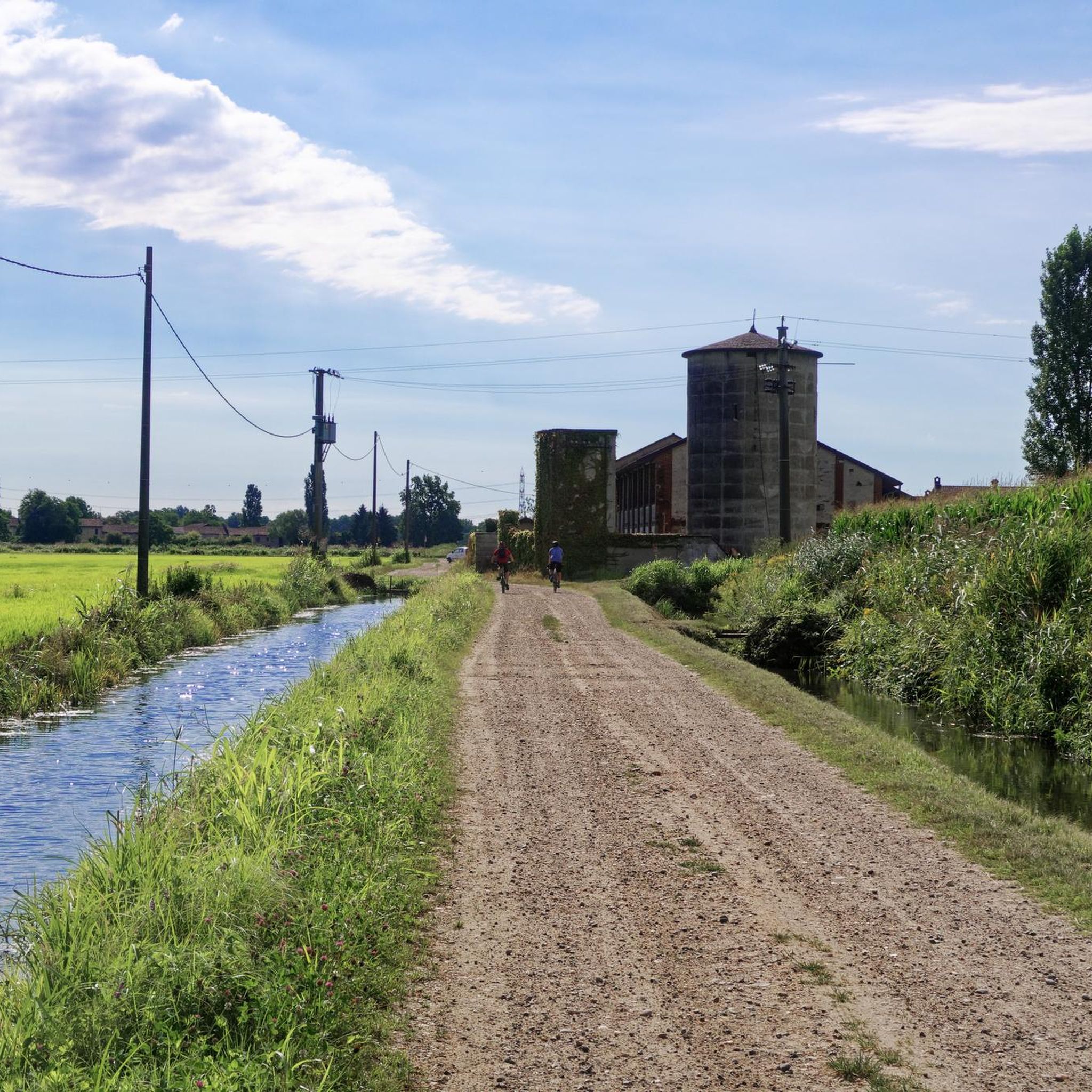
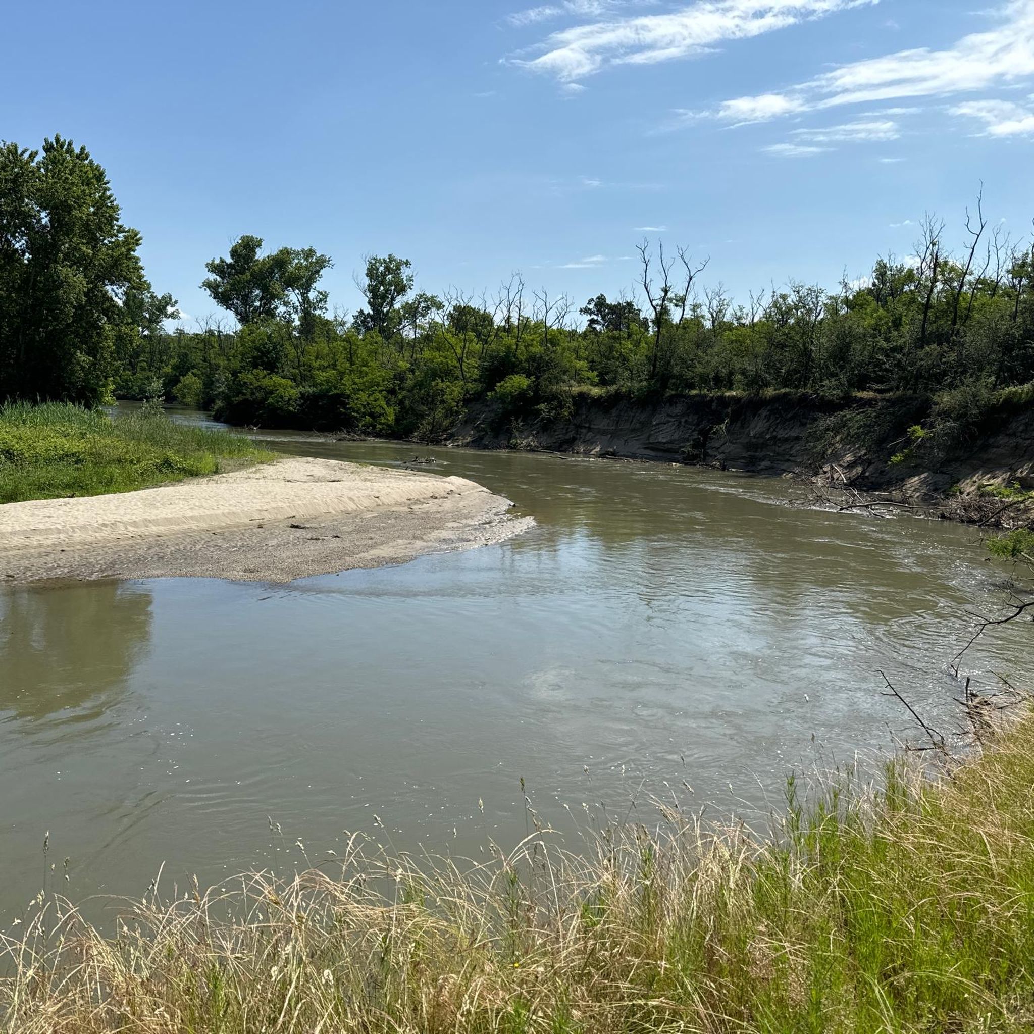
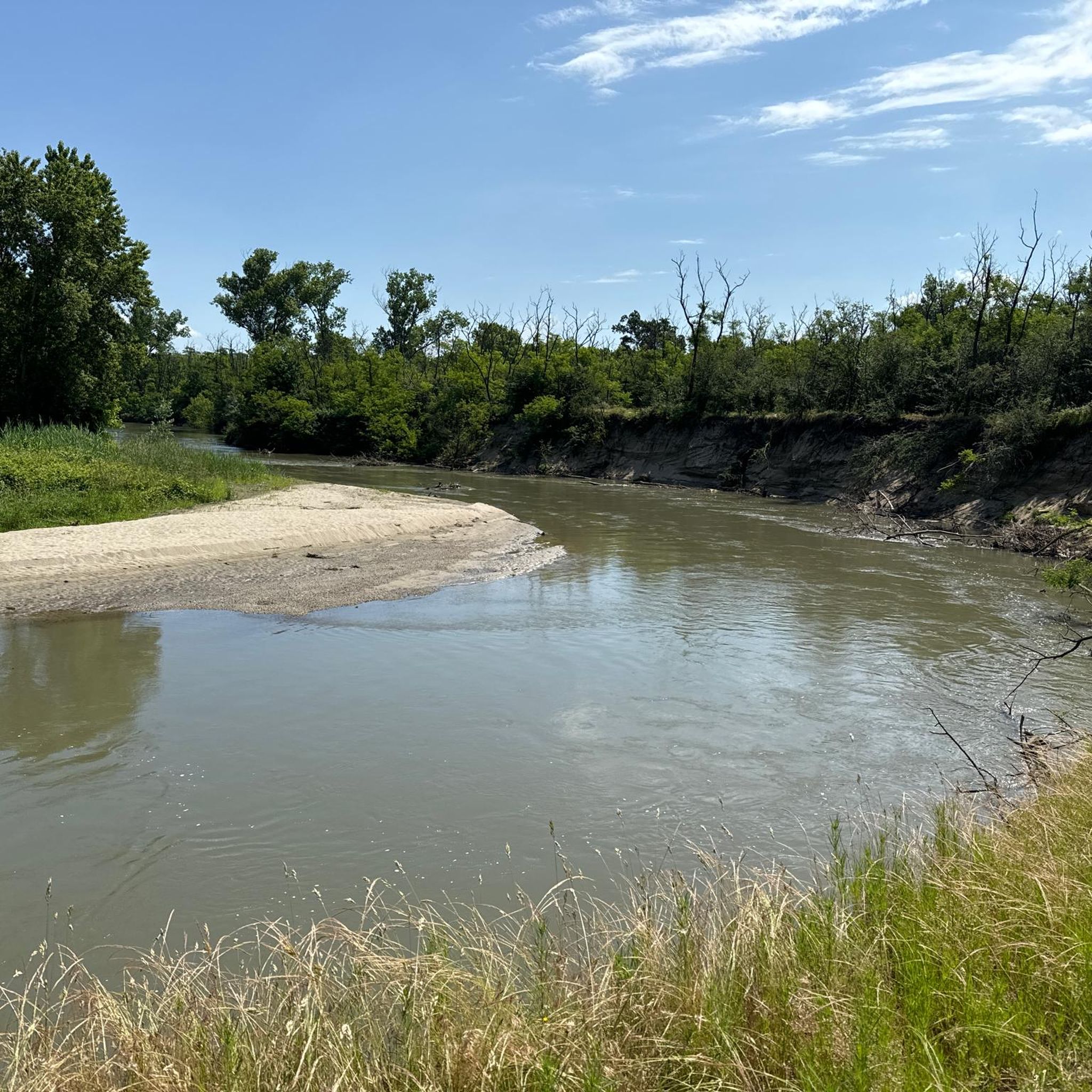
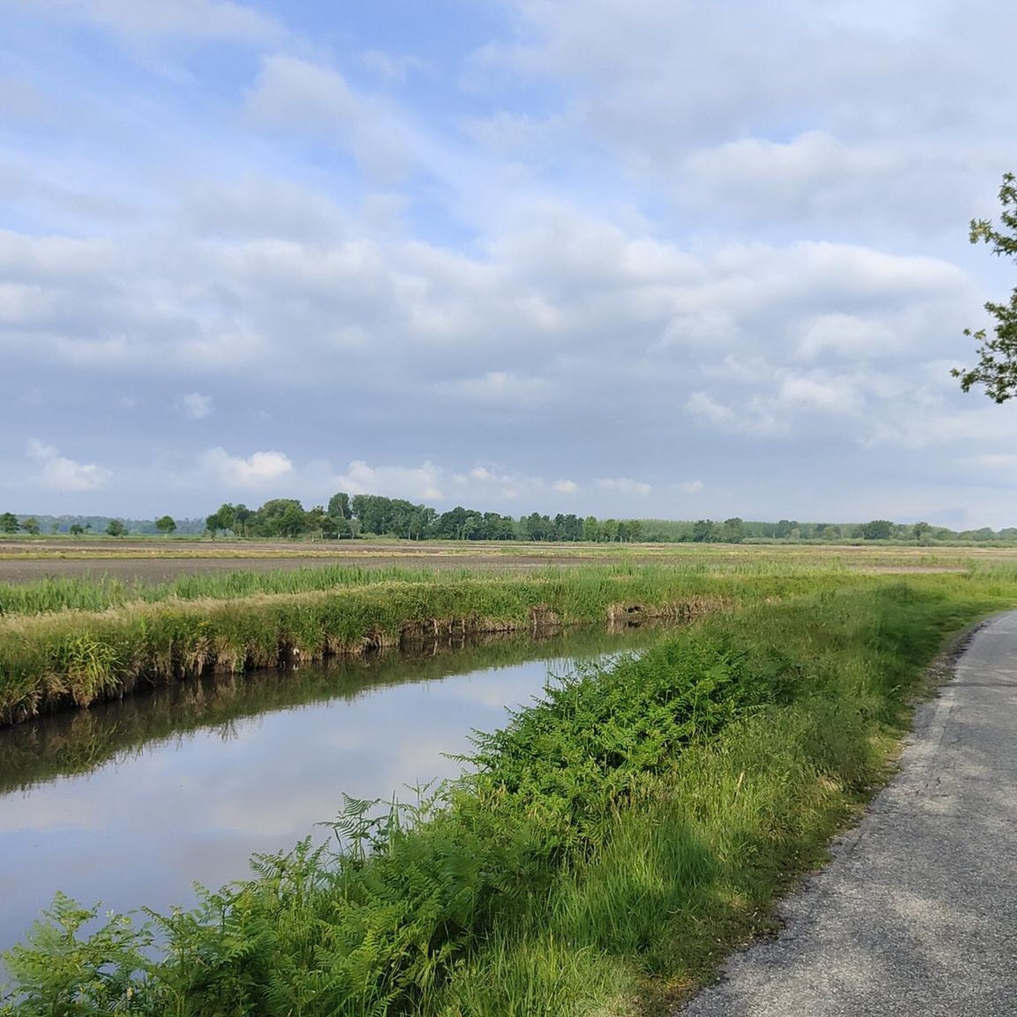
Tips from the Community

The town was first mentioned in documents in the 10th century. From the late Middle Ages onwards, the lords of Garlasco called themselves counts. Today, the town has approximately 10,000 inhabitants.
1
0

A classic passage in the great flat tours.
5
0

In the middle of Scaldasole stands a mighty, well-fortified castle. It dates from the Middle Ages.
1
0

The origin of the town can be traced back to the Bronze-Iron Age I (800 BC), as demonstrated by the various finds found.
5
0
The monumental complex of Scaldasole is one of the most significant presences of medieval fortified architecture in the province of Pavia and the entire region. It is composed of a castle and a shelter; this building typology, unique in the Lombardy panorama, is very frequent in nearby Piedmont. The original nucleus of the castle was built at the end of the 10th century and the shelter, however, at the beginning of the 15th century.
42
0
Frequently Asked Questions
How many hiking trails are available around Dorno?
There are over 60 hiking trails around Dorno, offering a variety of options for exploring the unique Lomellina landscape. These routes range from easy walks to moderate excursions, catering to different fitness levels.
What is the best time of year to go hiking in Dorno?
The best time to hike in Dorno is during spring and summer. This is when the extensive rice paddies are filled with water, creating picturesque reflections and a serene environment. The mild weather also makes for pleasant walking conditions.
What kind of terrain can I expect on the hiking trails near Dorno?
The terrain around Dorno is primarily flat, characterized by vast agricultural landscapes, particularly rice fields, and a network of irrigation canals. You'll also encounter historic farmsteads and rural villages, providing a gentle and immersive experience into the region's agricultural heritage.
Are there any circular hiking routes in Dorno?
Yes, many of the trails around Dorno are circular, allowing you to start and end your hike in the same location. For example, the Hiking loop from Sannazzaro de' Burgondi is an easy 4.8-mile (7.7 km) path that offers views of the agricultural landscape and local villages.
What historical landmarks can I see along the hiking trails near Dorno?
You can discover several historical landmarks. Notable structures include the Bereguardo Pontoon Bridge, first built in 1347, and the Bereguardo Bridge over the Ticino River. These bridges offer interesting points of interest along various walking and cycling routes.
What natural features are prominent on Dorno's trails?
The most prominent natural features are the extensive rice fields and the intricate network of irrigation canals, which define the Lomellina landscape. You can also explore areas near the Ticino River, such as the Ticino River in the Lombardy Park of the Ticino Valley and various viewpoints like the View of the bend in the Ticino River.
What do other hikers enjoy most about hiking in Dorno?
The komoot community highly rates the hiking experience in Dorno, with an average score of 4.4 stars from over 90 reviews. Hikers often praise the tranquil agricultural landscapes, the unique scenery of the rice fields, and the gentle nature of the paths, which are ideal for relaxing walks.
Are the hiking trails in Dorno suitable for families?
Yes, many of Dorno's trails are suitable for families, especially those looking for easy and moderate walks. The flat terrain and well-defined paths through rural areas and past canals make for enjoyable outings. An easy option is the Ristoro Garlasco loop from Garlasco, which is 3.9 miles (6.3 km) long.
Is parking available for hikers near the trailheads in Dorno?
While specific parking areas for every trailhead are not always signposted, Dorno and its surrounding villages typically offer public parking options. It's advisable to check local maps or komoot tour details for parking suggestions near your chosen starting point.
Can I reach hiking trails in Dorno using public transport?
Dorno is a small village, and while public transport options exist, they might be limited. It's best to check local bus schedules or train connections to nearby towns like Garlasco or Pavia, and then plan your route to the trailheads accordingly. For more general information about the region, you can visit visitpavia.com.
Are dogs allowed on the hiking trails in Dorno?
Generally, dogs are welcome on hiking trails in rural areas like Dorno, especially if kept on a leash. The open agricultural landscapes provide a good environment for walks with your canine companion. Always ensure to follow local regulations and clean up after your pet.
What kind of views can I expect while hiking around Dorno?
Hikers can expect serene views dominated by the vast, flat agricultural landscape, particularly the extensive rice fields. During spring and summer, the water-filled paddies offer unique reflections of the sky. You'll also see rural villages, historic farmsteads, and glimpses of the Ticino River, such as from the Casottole Viewpoint on the Ticino River.
Most popular attractions around Dorno

Get inspired with the komoot mobile app


Explore more
Browse the best Hikes in other regions.
