The best mountain hikes around Salorno - Salurn
4.9
(75)
431
hikers
16
hikes
Mountaineering routes Salorno - Salurn are found in the southernmost part of South Tyrol, where the Adige Valley meets the foothills of the Alps. The region is characterized by diverse terrain, including mountainous peaks, the dramatic Salurner Klause, and extensive networks within natural parks like Trudner Horn/Monte Corno. This landscape offers varied challenges and scenic vistas for mountaineers.
Best mountaineering routes around Salorno - Salurn
- The most popular mountaineering route is Giovanelli Gorge Via Ferrata – Tret Waterfall loop from…
Last updated: October 9, 2026
4.6
(29)
160
hikers
Hard mountaineering route. Very good fitness required. Sure-footedness, sturdy shoes and alpine experience required.
4.9
(18)
97
hikers
5.98km
03:25
620m
620m
Hard mountaineering route. Good fitness required. Sure-footedness, sturdy shoes and alpine experience required.

5.0
(10)
16
hikers
2.69km
02:10
330m
330m
Hard mountaineering route. Good fitness required. Sure-footedness, sturdy shoes and alpine experience required.
10
hikers
9.99km
04:10
600m
600m
Hard mountaineering route. Good fitness required. Sure-footedness, sturdy shoes and alpine experience required.
10
hikers
5.72km
03:15
590m
590m
Moderate mountaineering route. Good fitness required. Mostly accessible paths. Sure-footedness required.
Get access to more routes and recommendations from other explorers.
Already have an account?
Our route recommendations are based on thousands of hikes, rides, and runs completed by other people on komoot.
Start today with a free account
Your next adventure awaits.
Popular around Salorno - Salurn
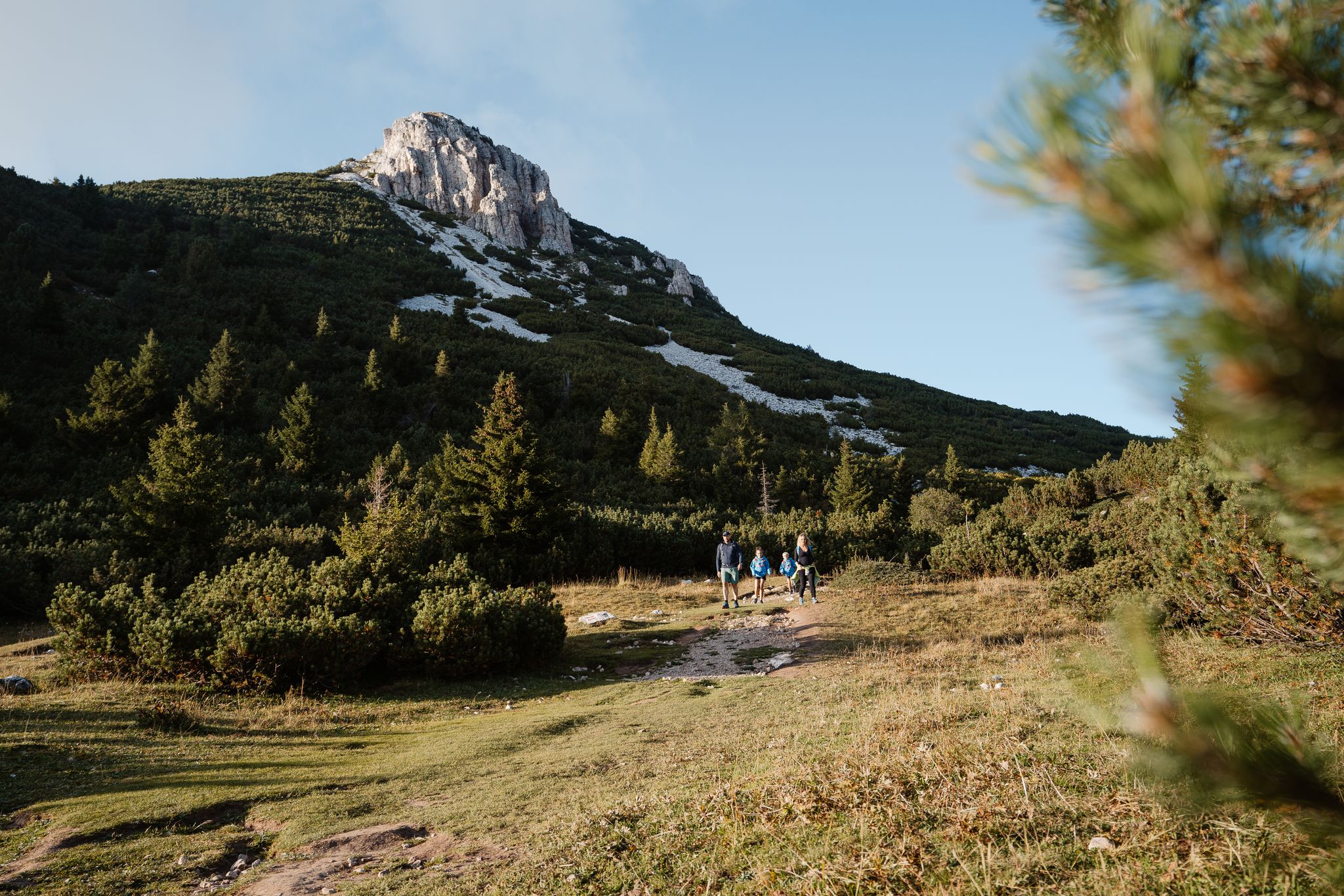
A path of contrasts – SchwarzWeiss Trail in the South Tyrolean lowlands
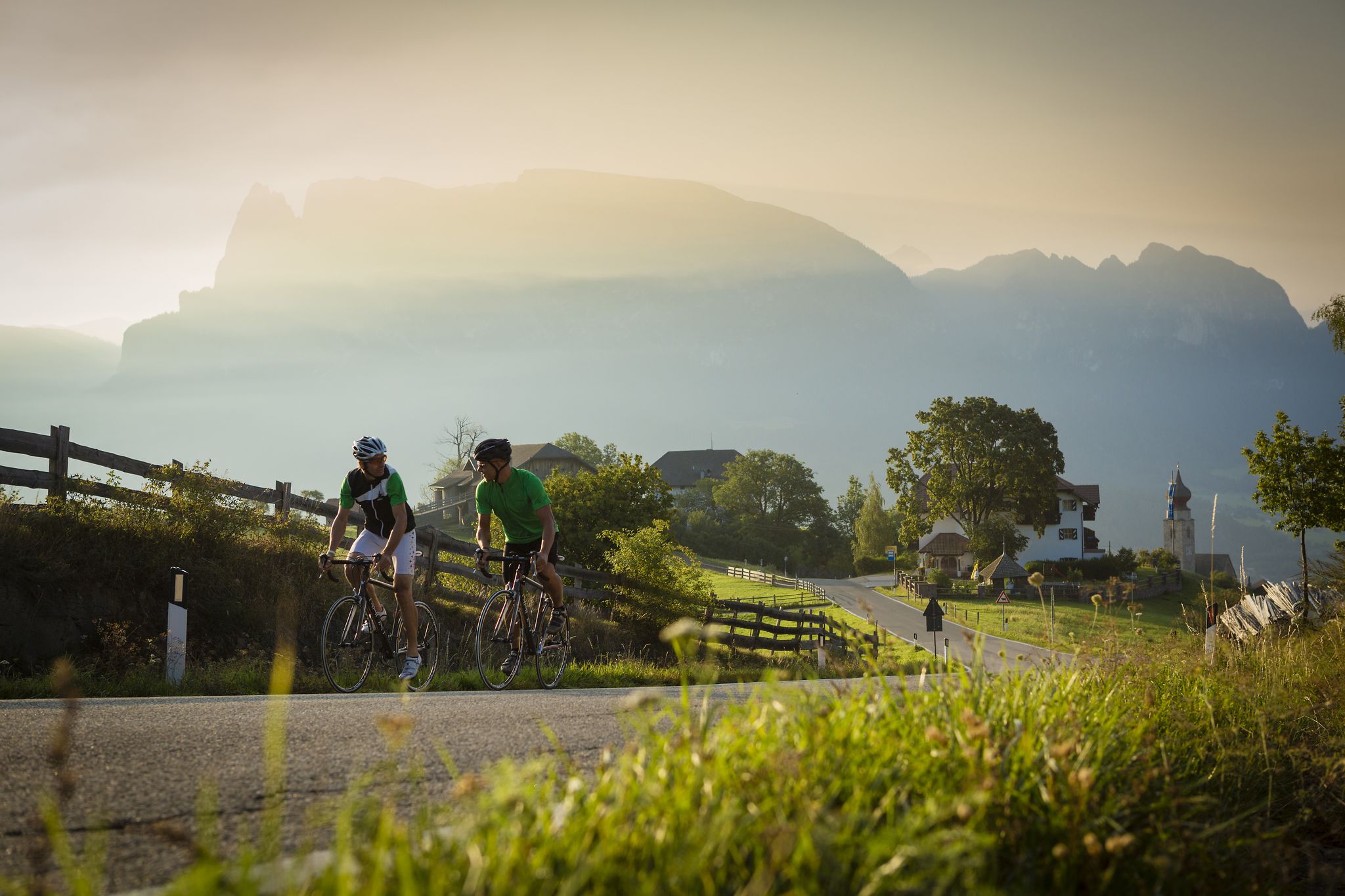
Jenseits der bekannten Pässe – Rennradperlen in Südtirol
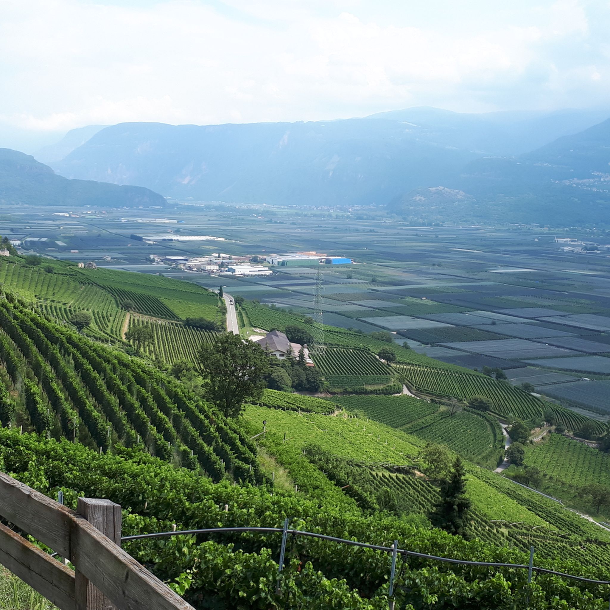
Hiking around Salorno - Salurn
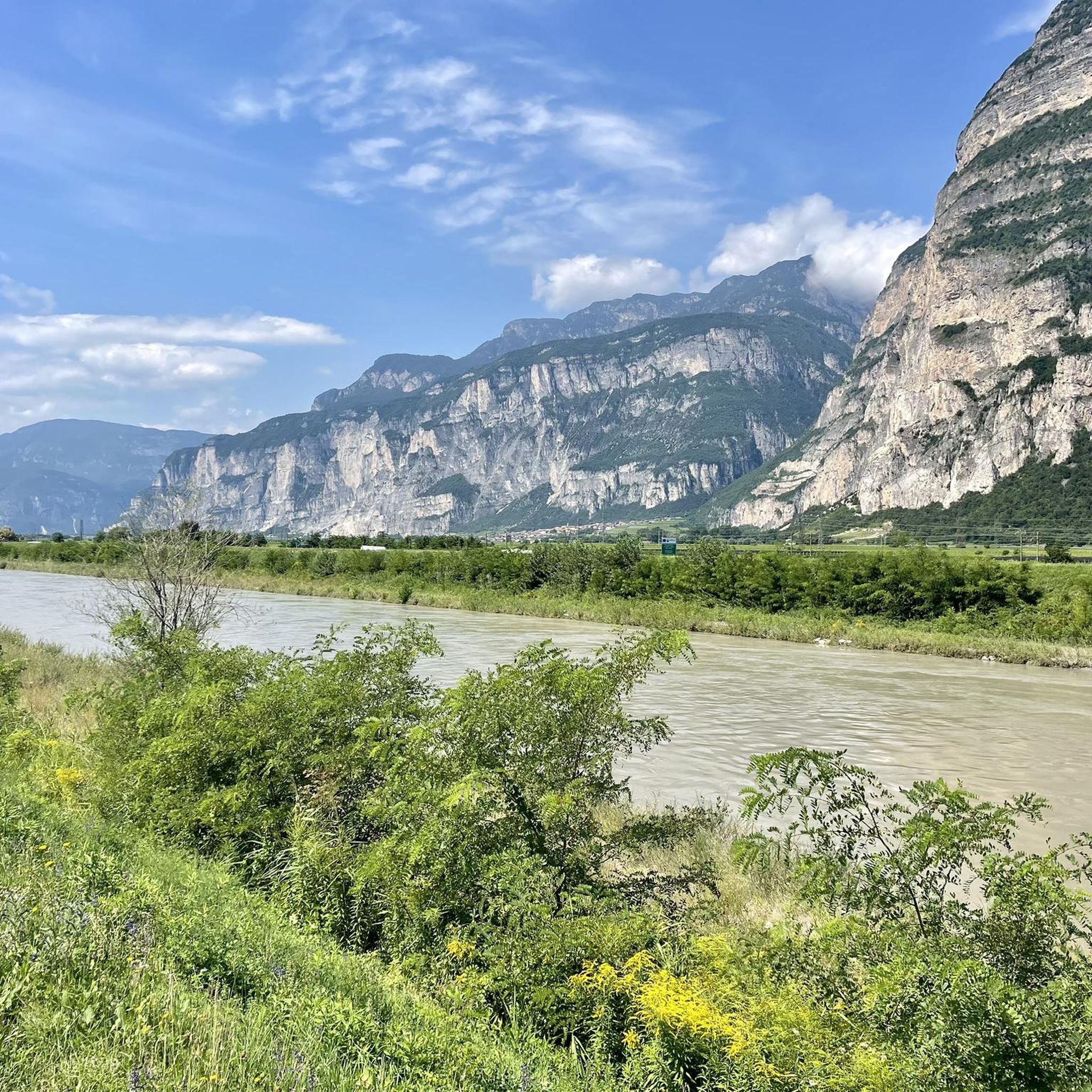
MTB Trails around Salorno - Salurn
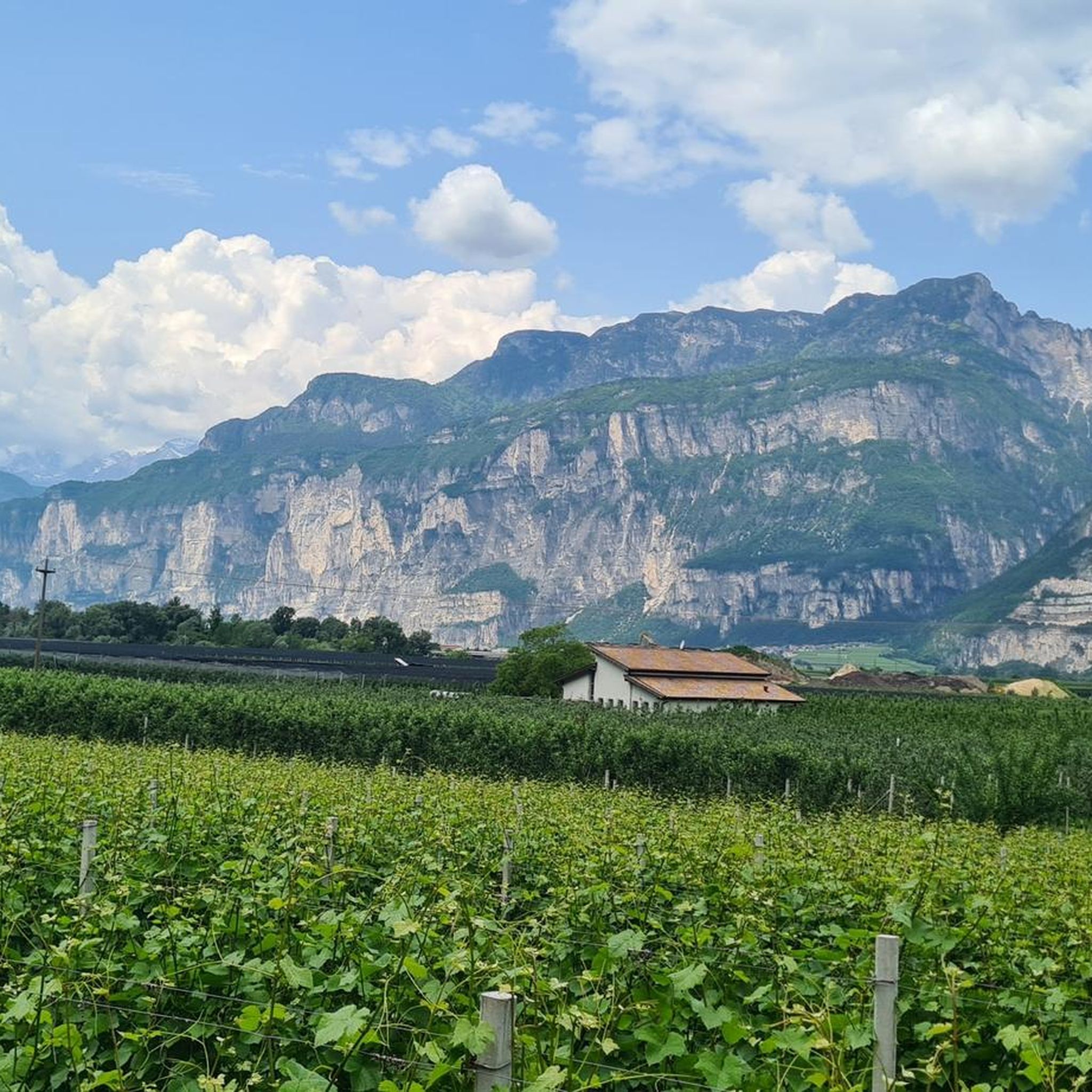
Cycling around Salorno - Salurn
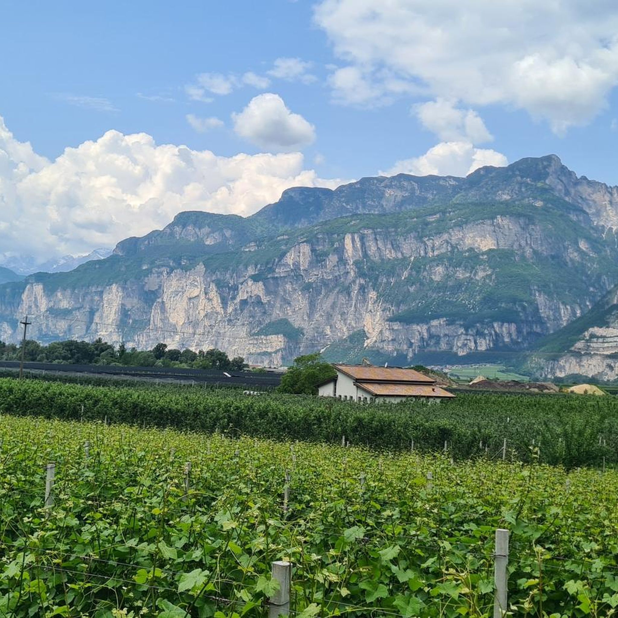
Road Cycling Routes around Salorno - Salurn

Gravel biking around Salorno - Salurn
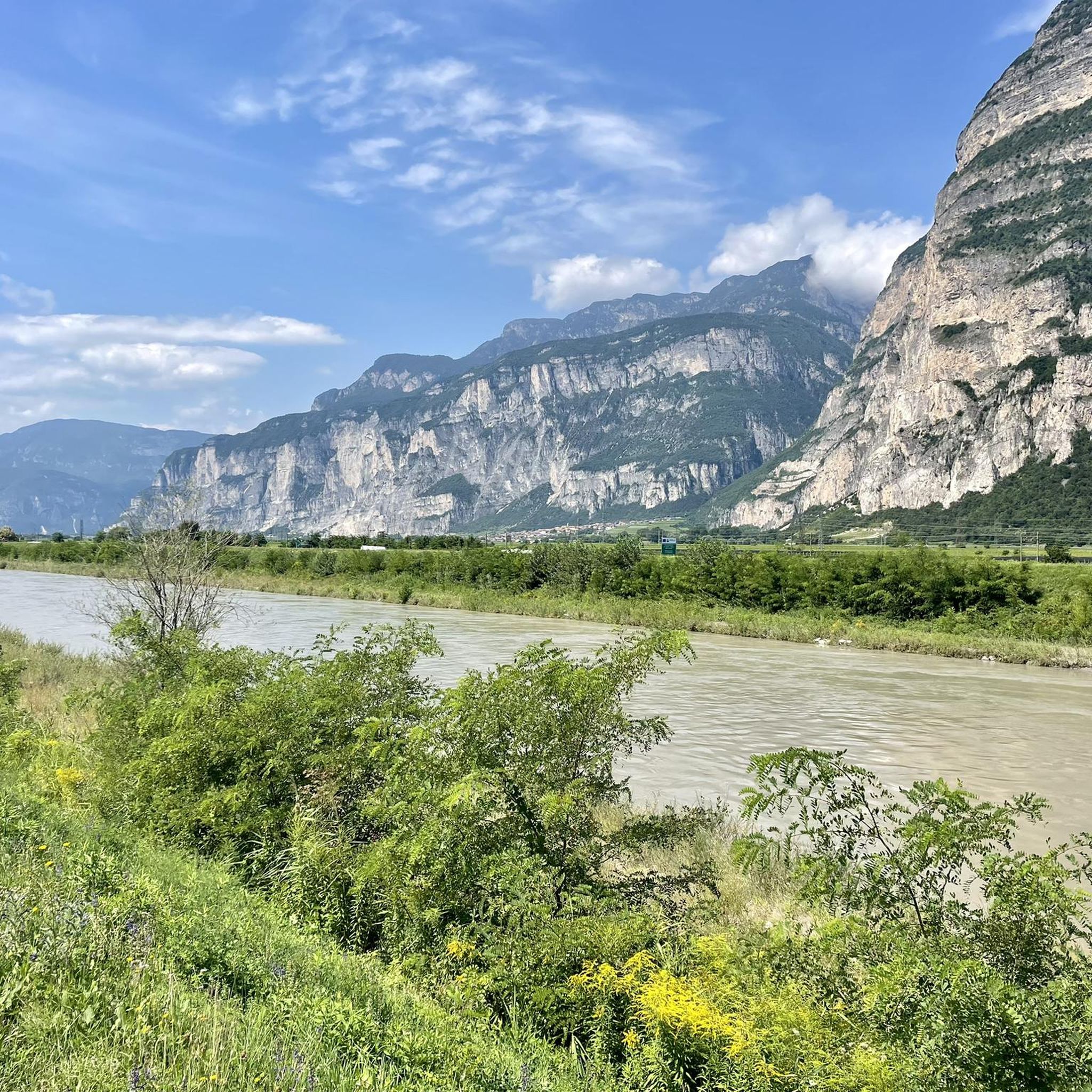
Running Trails around Salorno - Salurn


Tips from the Community

Very rewarding via ferrata - can also be combined well with the Burrone and the Rio Secco https://www.via-ferrata.de/klettersteige/topo/via-ferrata-val-del-ri-mezzolombardo
0
0

The Ferrata Rio Secco is a equipped route located in Cadino, in Trentino, a short distance from San Michele all'Adige and on the border with Alto Adige. It develops within a characteristic gorge carved by water, usually without water flow (hence the name)
0
0

A waterfall in the middle of the via ferrata is something special.
7
0
The cable car is already a great relief. A single ride costs €6.
7
0
Rather easy via ferrata through an impressive karst gorge with many altitude meters.
7
0

Very nice trail. However, it should be done here with a helmet and a harness.
1
0

Nice place and accessible to everyone
0
0

Impressive suspension bridge that is also a lot of fun for children.
1
0
Frequently Asked Questions
How many mountaineering routes are available around Salorno - Salurn?
There are over 15 dedicated mountaineering routes in the Salorno - Salurn region, offering a range of experiences from moderate to difficult. These routes are highly rated by the komoot community, with an average score of 4.9 stars.
What kind of terrain can I expect on mountaineering routes in Salorno - Salurn?
The terrain around Salorno - Salurn is incredibly diverse, ranging from mountainous peaks to the dramatic Salurner Klause. You'll find routes traversing extensive networks within natural parks like Trudner Horn/Monte Corno, offering varied challenges and scenic vistas. Many routes feature gorges, via ferratas, and even waterfalls.
Are there any family-friendly mountaineering options in Salorno - Salurn?
While many mountaineering routes in Salorno - Salurn are rated moderate to difficult, the region also offers easier walks and hikes suitable for families within areas like the Trudner Horn/Monte Corno nature park. For specific mountaineering, routes often involve challenging sections like via ferratas, so it's important to assess the difficulty carefully for younger or less experienced family members. Consider exploring the broader hiking network for more family-oriented options.
What are some notable natural features or landmarks I might encounter on these routes?
Mountaineering routes in Salorno - Salurn often lead through impressive natural features. You might encounter stunning waterfalls like the Schwarzenbach Waterfalls (Rio Nero Falls) or the Glen Waterfall. Many routes also feature dramatic gorges, such as the Lochweg Gorge, and offer views of historic sites like the Castello di Salorno (Haderburg) perched above the village.
Are there any circular mountaineering routes available?
Yes, there are several circular mountaineering routes. For example, the Chiesetta di Cadino loop from Cadino is a difficult 9.8 km route that takes approximately 4 hours and 10 minutes to complete. Another option is the moderate Monte di Mezzocorona cable car loop from Mezzocorona Borgata, which is about 5.9 km long.
What is the best time of year for mountaineering in Salorno - Salurn?
The best time for mountaineering in Salorno - Salurn is typically from late spring through early autumn (May to October). During these months, the weather is generally more stable, and trails are free of snow at lower to mid-altitudes. Always check local weather forecasts and trail conditions before heading out, especially for higher elevations or early/late season trips.
Are there any routes that include via ferratas?
Absolutely. The region is known for its via ferrata experiences. A popular choice is the Giovanelli Gorge Via Ferrata – Tret Waterfall loop from Mezzocorona Borgata, a challenging 10.4 km route that takes about 5 hours. Another option is the Tibetan bridge – Val del Rì via ferrata loop from Mezzolombardo, which is shorter at 2.7 km and features a unique Tibetan bridge.
What do other mountaineers say about the routes in Salorno - Salurn?
The mountaineering routes in Salorno - Salurn are highly regarded by the komoot community, holding an impressive average rating of 4.9 out of 5 stars from over 65 reviews. More than 400 mountaineers have used komoot to explore this region, often praising the diverse terrain, challenging via ferratas, and the stunning natural beauty, including gorges and waterfalls.
Are there any challenging routes for experienced mountaineers?
Yes, Salorno - Salurn offers several challenging routes suitable for experienced mountaineers. Many of the 16 routes are graded as 'difficult,' featuring significant elevation gain and technical sections like via ferratas. The mountainous peaks and dramatic gorges provide ample opportunity for demanding excursions.
Can I reach the mountaineering trailheads using public transport?
Salorno - Salurn is situated in a region with public transport options, including bus and train services that connect to nearby towns. While some trailheads might be directly accessible, others may require a short walk or a local bus connection from the main transport hubs. It's advisable to check local bus schedules and route maps in advance for specific trail access points.
Are there any specific permits required for mountaineering in the area?
Generally, no specific permits are required for hiking and mountaineering on established trails in the Salorno - Salurn region, including within the Trudner Horn/Monte Corno nature park. However, if you plan to engage in specific climbing activities or access private land, it's always best to verify any local regulations or requirements with the regional tourism office.
What kind of accommodation and amenities are available near the mountaineering routes?
Salorno - Salurn and its surrounding villages offer a range of accommodation options, from hotels and guesthouses to holiday apartments. You'll find cafes, restaurants, and shops in the main towns to stock up on supplies or enjoy a meal after your tour. Many routes are also close to mountain huts, providing opportunities for refreshments or overnight stays.
Most popular routes around Salorno - Salurn
Most popular attractions around Salorno - Salurn

Get inspired with the komoot mobile app


Explore more
Browse the best Mountain Hikes & Routes in other regions.
