The best walks and hikes around Tasdorf
4.5
(4666)
17,697
hikers
624
hikes
Hiking around Tasdorf offers access to the diverse landscapes of Holstein Switzerland, characterized by gently rolling, ice-age formed hills, extensive deciduous forests, and numerous serene lakes. The region provides a varied backdrop for outdoor activities, with its unique blend of woodlands and interconnected waterways. The terrain generally features moderate elevation changes, making it suitable for a range of hiking abilities.
Best hiking trails around Tasdorf
- The most popular hiking route is Small Footbridge – View of Solitary Oaks loop from…
Last updated: October 28, 2026
4.8
(11)
25
hikers
7.72km
01:58
20m
20m
Easy hike. Easily walkable paths.
5.0
(5)
16
hikers
6.26km
01:35
10m
10m
Easy hike. Easily walkable paths.

16
hikers
1.93km
00:29
0m
0m
Easy hike. Easily walkable paths.
5.0
(1)
5
hikers
8.52km
02:09
10m
10m
Moderate hike. Good fitness required. Easily walkable paths.
6
hikers
3.75km
00:57
10m
10m
Easy hike. Easily walkable paths.
Get access to more routes and recommendations from other explorers.
Already have an account?
Our route recommendations are based on thousands of hikes, rides, and runs completed by other people on komoot.
Start today with a free account
Your next adventure awaits.

Tips from the Community

Mega for gravel or road bike
0
0

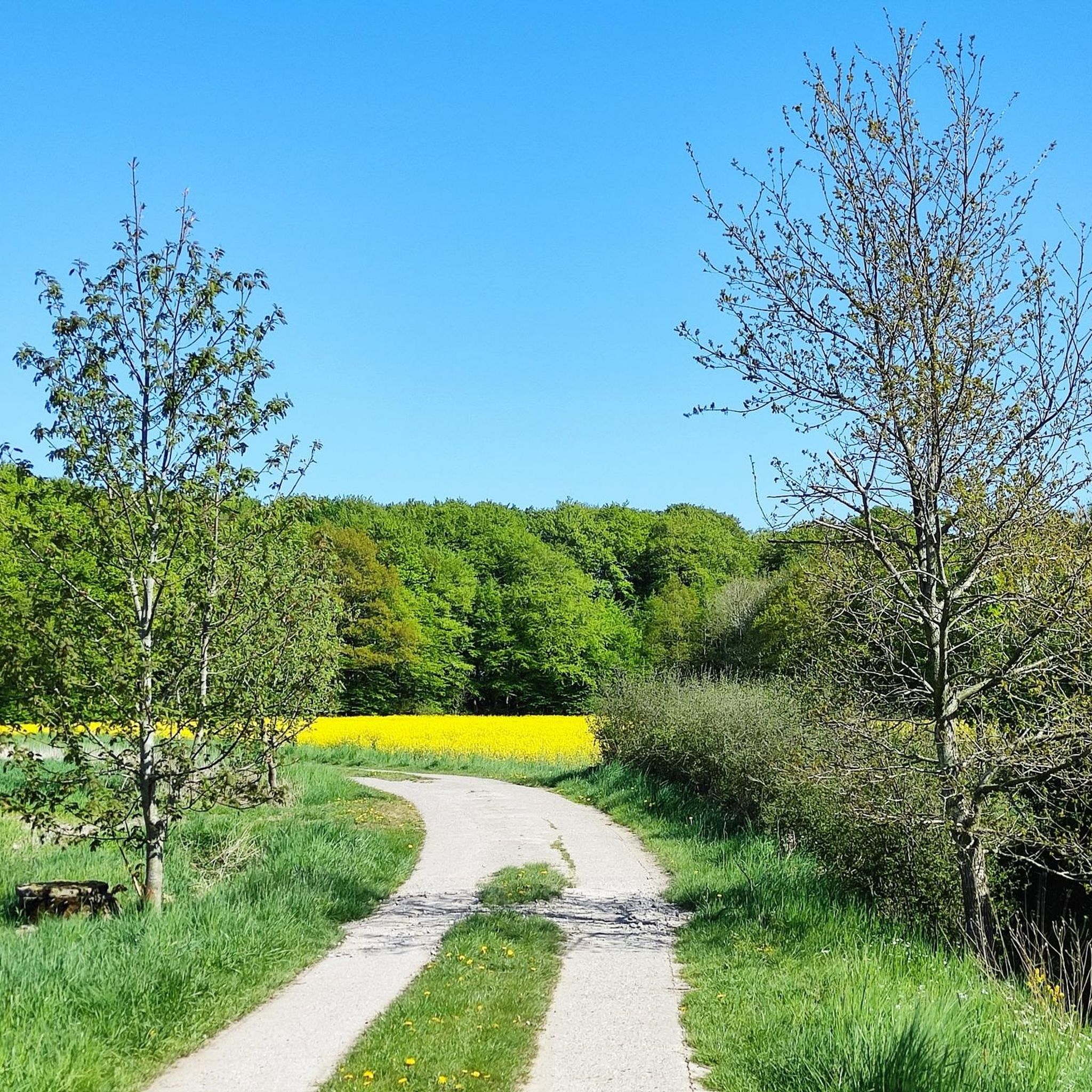
A very nice alternative to the Tasdorfer Weg to Bönebüttel. Well-traveled asphalt road, past meadows, fields, and through the forest, crossing the Brammau River.
0
0
This is the former NMS - Ascheberg railway line. The Dosenbek runs under the bridge and drains into the Schwale. A little further on, you can cross it and come to the (former) Bahn Ost allotment garden area.
0
0
These old beeches and oaks line the hiking trail into the Brachenfelder Grove to Dosenbek
1
0

From this dirt road on the edge of the forest, you have a wonderful view over the fields to the southeast. Every now and then, huge oak trees are scattered in the silhouette.
2
0
The Predigerau runs between the field path and the Bokhorst. Here it has a lively, winding course. A bridge that is increasingly crumbling marks an old crossing into the forest. Strange: At this landmark, a 5 m high cross stands crookedly in the forest.
2
0
Two granite steles on a leafy meadow mark the bridge on the Predigerau. The FFH area Bönebütteler Gehege is a lowland area in the transition area between the Geest and the hill country and is drained via the Predigerau, which is a tributary of the Schwale and flows via the Stör towards the Elbe.
2
0
The Flaschenbek drains the moor 4 km to the north. It flows into the Schwale, which then flows through Neumünster.
2
0
Frequently Asked Questions
How many hiking trails are available around Tasdorf?
Tasdorf and its surroundings offer a wide network of nearly 600 hiking routes. These trails cater to various fitness levels, ranging from easy strolls to more challenging day hikes through the diverse landscapes of Holstein Switzerland.
Are there many easy hiking options for beginners or casual walkers?
Yes, the region is very welcoming for beginners and casual walkers. Out of nearly 600 routes, over 400 are classified as easy, featuring moderate elevation changes and well-maintained paths. Many of these are circular trails around the numerous lakes or through gentle woodlands.
What kind of natural scenery can I expect on hikes near Tasdorf?
Hiking around Tasdorf immerses you in the unique landscape of Holstein Switzerland. You'll encounter gently rolling, ice-age-formed hills, extensive deciduous forests with trees like oaks and beeches, and over 200 serene lakes. The Schwentine River also winds through the area, connecting many lakes and adding to the picturesque scenery.
Are there any good circular hiking trails in the area?
Yes, circular hiking trails are a prominent feature of the region, offering convenient loops for exploration. An example is the Predigerau Bridge – Small Footbridge loop from Bokhorst, which offers scenic views along the water. Many trails around the lakes, like the 8 km circular trail around Lake Einfeld, are also popular choices.
What do other hikers enjoy most about the trails around Tasdorf?
The trails around Tasdorf are highly rated by the komoot community, with an average score of 4.5 stars from over 3900 reviews. Hikers often praise the diverse scenery, combining tranquil lakes, rolling hills, and peaceful deciduous forests. The well-maintained paths and variety of routes for all abilities are also frequently highlighted.
Are there any family-friendly hiking routes near Tasdorf?
Many of the easy trails around Tasdorf are suitable for families. These routes often feature minimal elevation gain and shorter distances, making them enjoyable for all ages. Exploring the deciduous forests or walking along the shores of the numerous lakes can be a great family activity.
Can I bring my dog on the hiking trails?
Generally, dogs are welcome on most hiking trails around Tasdorf, especially in the extensive deciduous forests and along many lake paths. However, it's always advisable to keep dogs on a leash, particularly in nature reserve areas or near wildlife, and to respect local signage regarding pet regulations.
What are some interesting natural attractions or landmarks to see while hiking?
While hiking, you can discover several natural attractions. The region is dotted with beautiful lakes like Lake Einfeld and Bordesholm Lake. You might also encounter unique natural monuments such as the Twisted Tree at Lake Bordesholm or a 250-year-old beech tree at Einfelder See, adding points of interest to your walk.
Are there any specific forest hikes recommended?
For a pleasant forest experience, consider the Brachenfelder Wood loop from Tasdorf. This easy 4.2-mile (6.8 km) path winds through established deciduous woodlands, offering shade and a chance to observe diverse flora and fauna.
Is there public transport access to hiking trailheads around Tasdorf?
While Tasdorf itself is a smaller locality, public transport options exist within the broader Holstein Switzerland region. It's recommended to check local bus schedules for connections to nearby towns or specific trailheads. Many routes are also accessible by car, with parking often available near starting points.
Are there any longer or more challenging routes for experienced hikers?
While the majority of routes are easy to moderate, there are 16 routes classified as difficult for more experienced hikers seeking a challenge. These routes may involve longer distances, more significant elevation changes, or more rugged terrain, requiring good fitness and sturdy footwear. The 'Holstein Switzerland Trail' is an example of a longer-distance option.
What is the highest point in the region that can be reached by hiking?
The highest point in Schleswig-Holstein, Bungsberg, at 168 meters, is located within Holstein Switzerland and offers panoramic views of the surrounding hilly terrain. While not a towering peak, hiking to its summit provides rewarding expansive vistas of the unique landscape.
Most popular attractions around Tasdorf

Get inspired with the komoot mobile app


Explore more
Browse the best Hikes in other regions.
