The best walks and hikes around Druento
4.4
(1314)
8,150
hikers
32
hikes
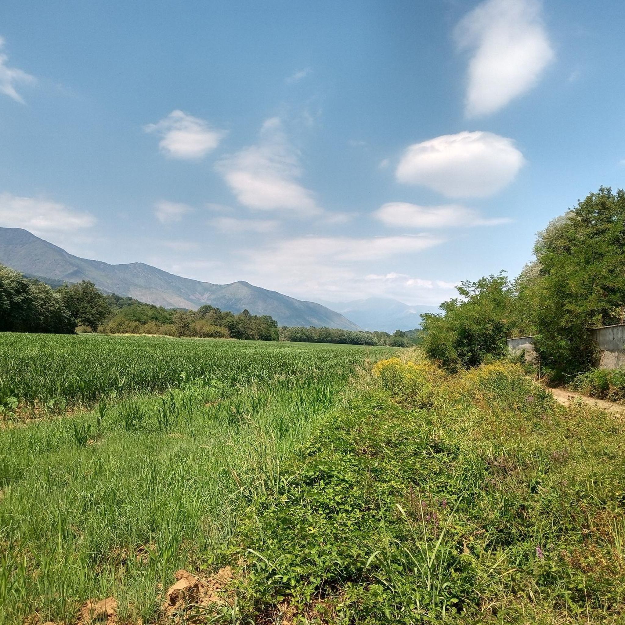
Hiking around Druento offers a blend of hilly and plain landscapes within Italy's Piedmont region. The area is characterized by its diverse terrains, providing various options for outdoor activities. A central feature for hikers is the expansive La Mandria Regional Park, which offers numerous trails through protected ecosystems. This territory provides a mix of gentle slopes and flat areas suitable for different hiking levels.
Best hiking trails around Druento
- The most popular hiking route is Parco la Mandria – loop…
Last updated: August 3, 2026
4.2
(27)
119
hikers
11.3km
02:58
90m
90m
Moderate hike. Good fitness required. Easily-accessible paths. Suitable for all skill levels.
5.0
(1)
2
hikers
11.7km
03:03
70m
70m
Moderate hike. Good fitness required. Easily-accessible paths. Suitable for all skill levels.

Sign up for free
4.5
(38)
156
hikers
14.6km
03:48
90m
90m
Moderate hike. Good fitness required. Easily-accessible paths. Suitable for all skill levels.
4.0
(2)
38
hikers
Moderate hike. Good fitness required. Easily-accessible paths. Suitable for all skill levels.
4.2
(9)
77
hikers
Moderate hike. Good fitness required. Easily-accessible paths. Suitable for all skill levels.
Get access to more routes and recommendations from other explorers.
Sign up for free
Already have an account?
Our route recommendations are based on thousands of hikes, rides, and runs completed by other people on komoot.
Start today with a free account
Your next adventure awaits.
Login or Signup
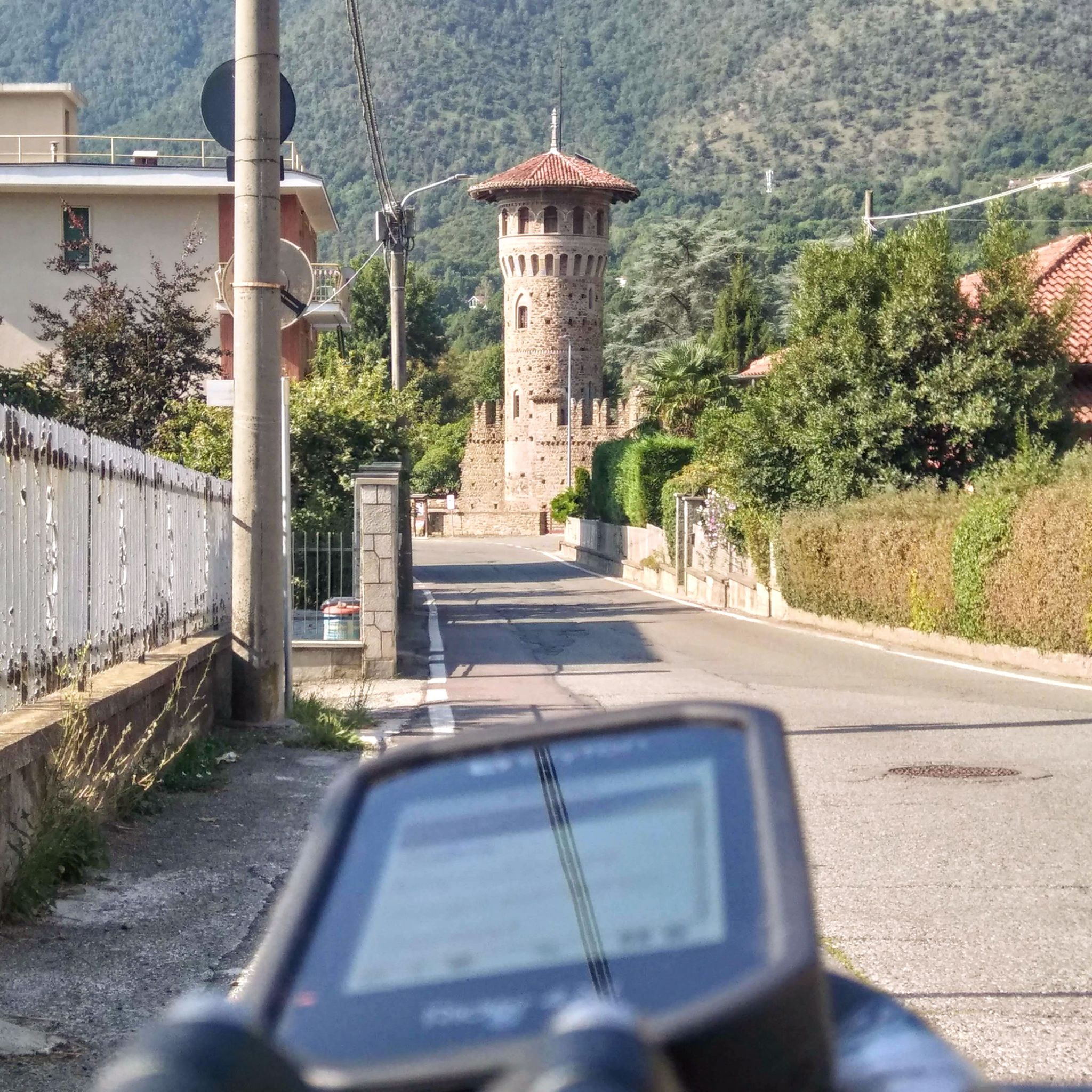
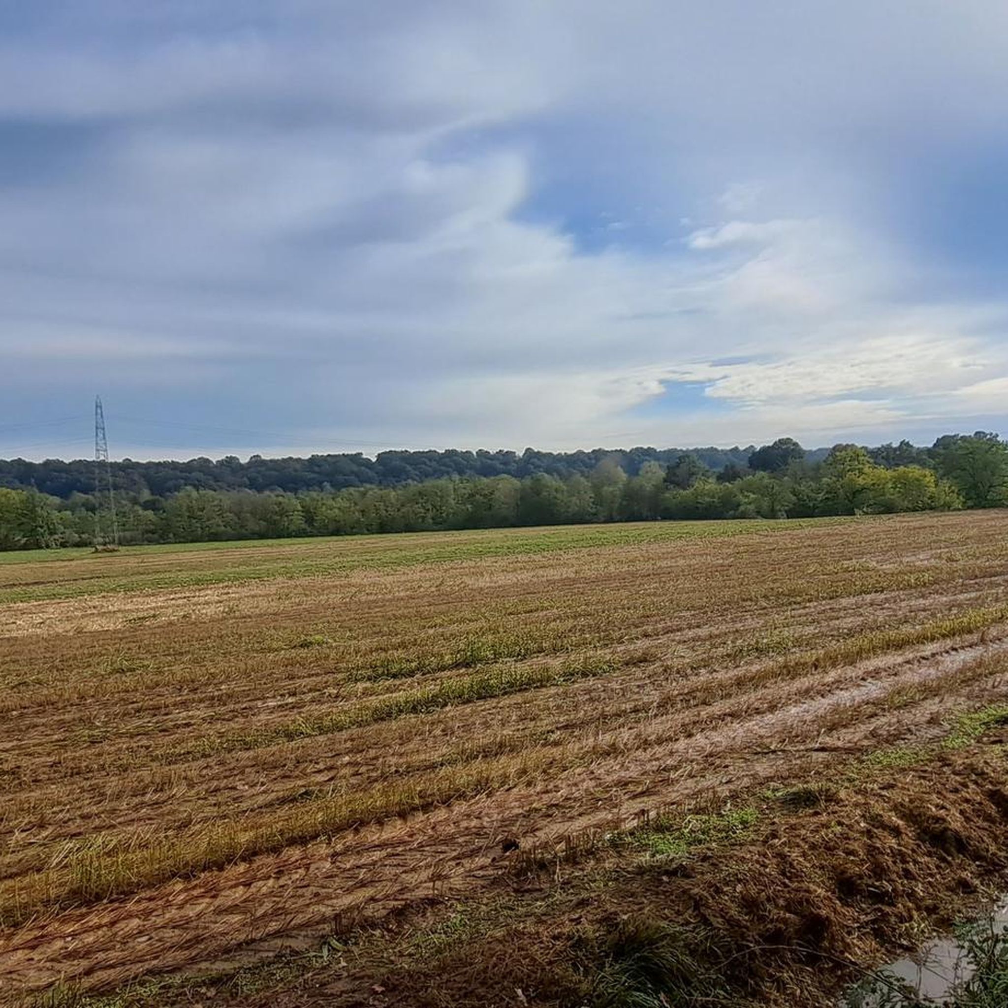
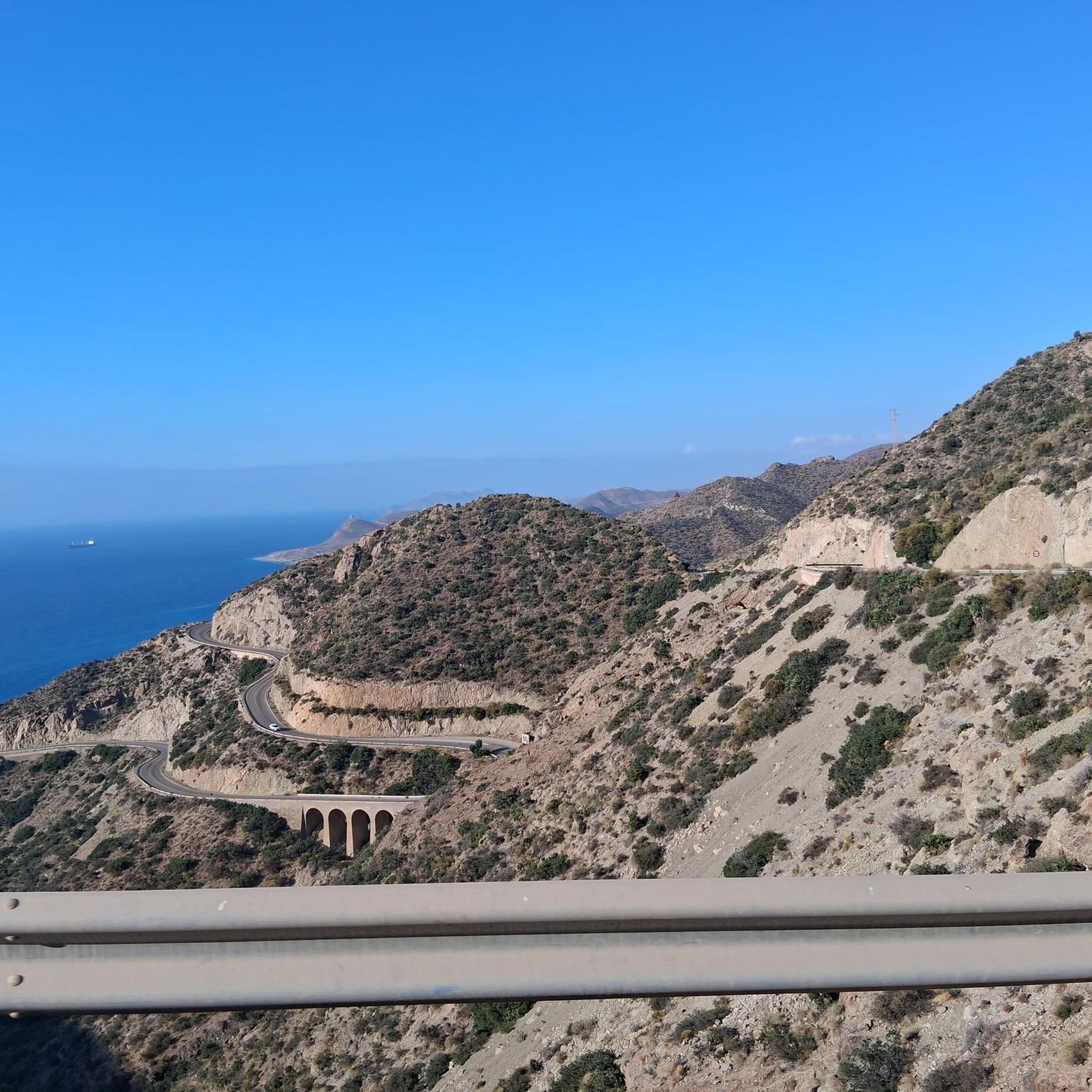
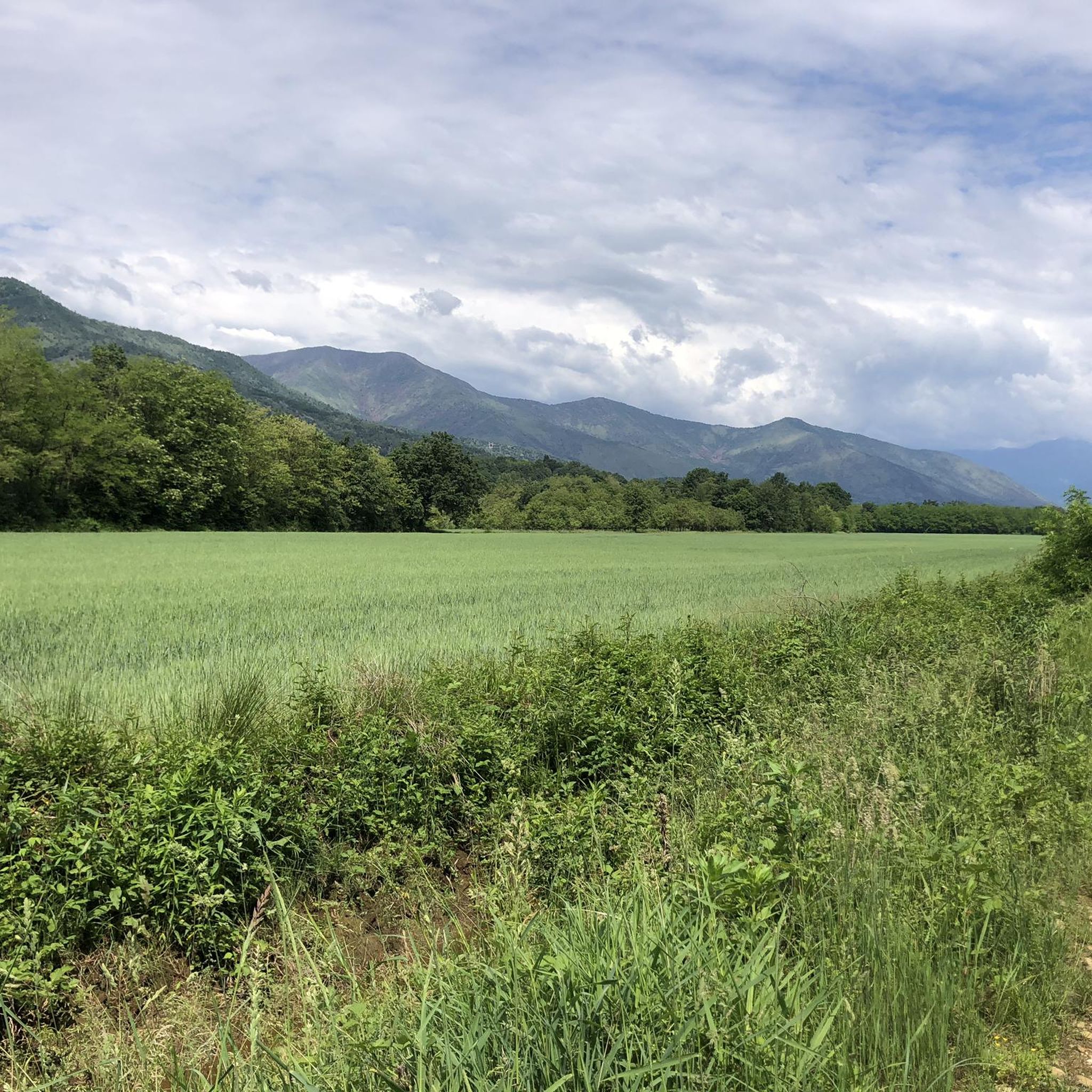
Tips from the Community

Lakes inside the herd near the Cascinaoslera
0
0
One of the many entrances to the park the herd
0
0


As long as there's no crowds, it's fine.....😉👍
0
0

Next to the lake there is also a building unfortunately in ruins
0
0

Easily reachable from the entrance to the Mandria park from Venaria Reale
1
0
Beautiful farmhouse, one of the most well kept.
0
0
Frequently Asked Questions
How many hiking trails are there in Druento?
Druento offers a diverse selection of over 25 hiking trails. These routes cater to various skill levels, from easy walks to more moderate hikes, allowing you to explore the region's unique blend of hilly and plain landscapes.
Are there easy hiking trails suitable for beginners in Druento?
Yes, Druento is very welcoming for beginners. There are 11 easy hiking trails available, many of which are located within the expansive La Mandria Regional Park. These paths offer gentle slopes and flat areas, perfect for a relaxed outdoor experience.
What kind of landscapes can I expect to see while hiking around Druento?
Hiking around Druento offers a compelling blend of landscapes. You'll primarily experience a 'hilly-plain territory,' with routes traversing both gentle slopes and flat areas. The region is characterized by the extensive La Mandria Regional Park, providing protected ecosystems, diverse flora, and well-maintained natural environments. You might also catch glimpses of the Givoletto mountains in the distance.
Are there any circular hiking routes in Druento?
Yes, Druento features several excellent circular hiking routes, particularly within La Mandria Regional Park. A popular option is the Parco la Mandria – loop tour in the province of Turin, which is a moderate 7.0-mile (11.3 km) trail. Another favorite is the La Mandria Natural Park – La Rubianetta loop from Druento, covering 9.1 miles (14.6 km).
Can I bring my dog on the hiking trails in Druento?
While the guide data doesn't specify dog-friendly rules for every trail, La Mandria Regional Park, a central hiking area in Druento, generally allows dogs on leash. It's always recommended to check specific park regulations or individual trail rules before heading out with your canine companion to ensure a pleasant experience for everyone.
Are there family-friendly hiking options in Druento?
Yes, Druento offers several family-friendly hiking options, especially among its 11 easy trails. The flat and gentle terrains within La Mandria Regional Park are ideal for families with children, providing safe and enjoyable environments for walks and nature exploration. Look for shorter, well-maintained paths for the best family experience.
What are some interesting natural monuments or attractions to see along the trails?
While hiking around Druento, you can discover several interesting natural monuments and attractions. Within the vicinity, you might encounter the Forest of the Three Saints or the serene Lake Fontaneij. The region also features man-made monuments like the Po Fountain and Dora Fountain, adding cultural interest to your outdoor adventure.
Where can I find parking for hiking trails in Parco Naturale La Mandria?
La Mandria Regional Park, a key hiking destination in Druento, has designated entry points and parking facilities. For example, you can find an entrance at Ponte Verde — Entrance to La Mandria Park or at Parco Naturale La Mandria, ingresso OVEST. These are typically good starting points for accessing the park's trail network.
Is public transport available to reach the hiking areas in Druento?
While specific public transport routes directly to all trailheads are not detailed, Druento is located in the Metropolitan City of Turin, which has a public transport network. For reaching La Mandria Regional Park, it's advisable to check local bus schedules from Turin or nearby towns, as some routes may serve the park's vicinity. Planning ahead is recommended.
What is the best season for hiking in Druento?
Given Druento's blend of hilly and plain landscapes, hiking is enjoyable across multiple seasons. Spring and autumn offer pleasant temperatures and vibrant natural colors, making them ideal. Summer can also be good, especially for early morning or late afternoon hikes to avoid the midday heat. Winter hiking is possible, but specific gear might be needed depending on conditions.
What do other hikers say about their experience in Druento?
The komoot community highly rates hiking in Druento, with an impressive average score of 4.4 stars from over 1100 reviews. Hikers often praise the diverse terrain, the beauty of La Mandria Regional Park, and the well-maintained trails that cater to various ability levels. Over 7000 hikers have already used komoot to explore this area, highlighting its popularity.
Are there any lakes or water features near the hiking trails?
Yes, within the broader Turin area, which includes Druento, there are natural basins with crystal-clear waters. Specifically, near Druento, you can find Lake Fontaneij, which offers a serene water feature to enjoy during your hikes. The La Mandria Regional Park itself also features the Grand Lake of La Mandria, which is part of a popular loop trail.
Are there places to eat or drink near the hiking routes in Druento?
Yes, the area around Druento and within La Mandria Regional Park offers amenities. Some historic buildings within the park host restaurant businesses, providing convenient spots for refreshments. Additionally, Druento itself, as a town, will have cafes, pubs, and restaurants where you can refuel after your hike.
Most popular attractions around Druento

Get inspired with the komoot mobile app


Explore more
Browse the best Hikes in other regions.
