The best cycling routes around Monte Compatri
4.3
(427)
5,477
riders
278
rides
Best cycling routes Monte Compatri traverse a landscape shaped by volcanic activity, offering varied terrain within the Castelli Romani Park. The region features significant elevation changes, rising from 576 meters above sea level and including hills like Monte Salomone at 773 meters. Touring cyclists can explore routes through unspoiled forests and enjoy panoramic views of the picturesque Lakes of Albano and Nemi. Ancient Roman roads and historical pathways, such as the Sacred Way to Monte Cavo, add cultural depth to…
Last updated: July 19, 2026
4.5
(6)
46
riders
33.2km
02:15
530m
530m
Hard bike ride. Very good fitness required. Mostly paved surfaces. Suitable for all skill levels.
5.0
(1)
30
riders
38.5km
03:27
1,050m
1,050m
Hard bike ride. Very good fitness required. You may need to push your bike for some segments of this route.

Sign up for free
5.0
(2)
19
riders
58.7km
04:19
1,370m
1,370m
Hard bike ride. Very good fitness required. You may need to push your bike for some segments of this route.
16
riders
22.5km
01:54
490m
490m
Hard bike ride. Very good fitness required. You may need to push your bike for some segments of this route.
5.0
(3)
22
riders
65.6km
04:25
1,020m
1,020m
Hard bike ride. Very good fitness required. Mostly paved surfaces. Suitable for all skill levels.
Get access to more routes and recommendations from other explorers.
Sign up for free
Already have an account?
Our route recommendations are based on thousands of hikes, rides, and runs completed by other people on komoot.
Start today with a free account
Your next adventure awaits.
Login or Signup
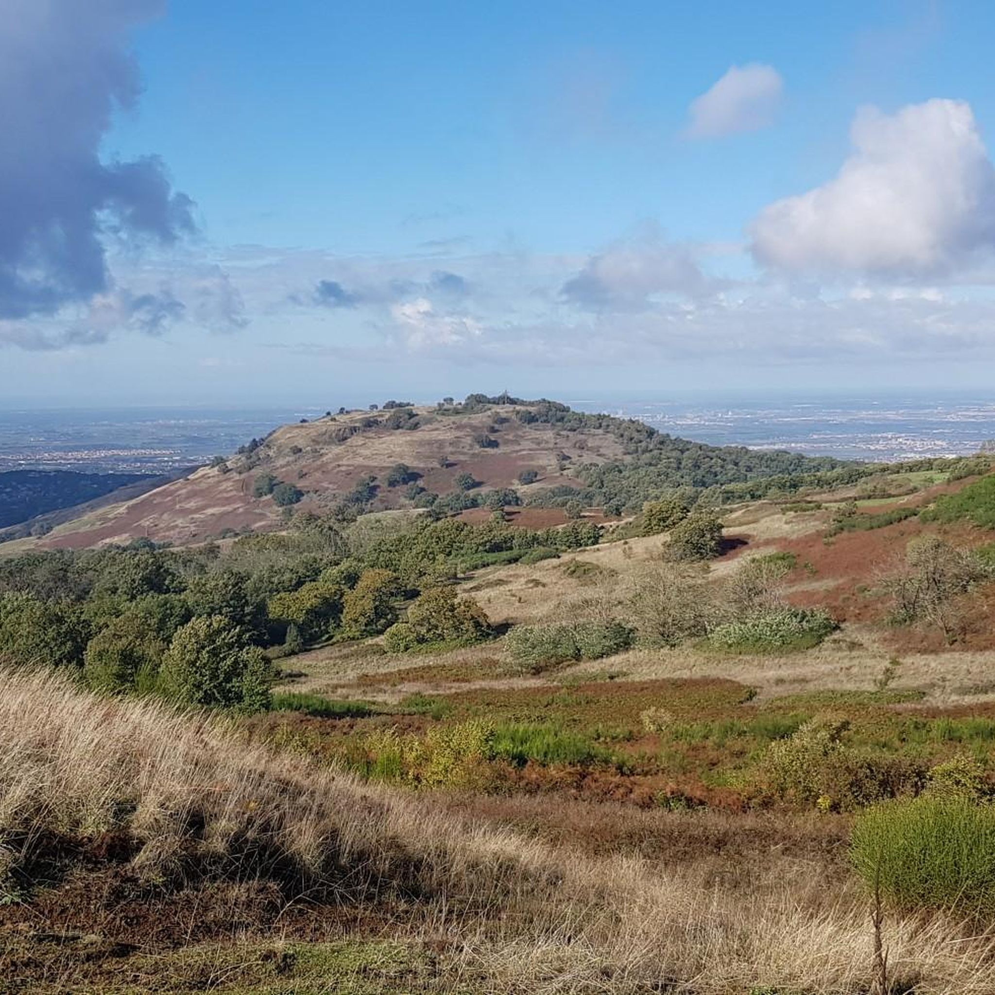
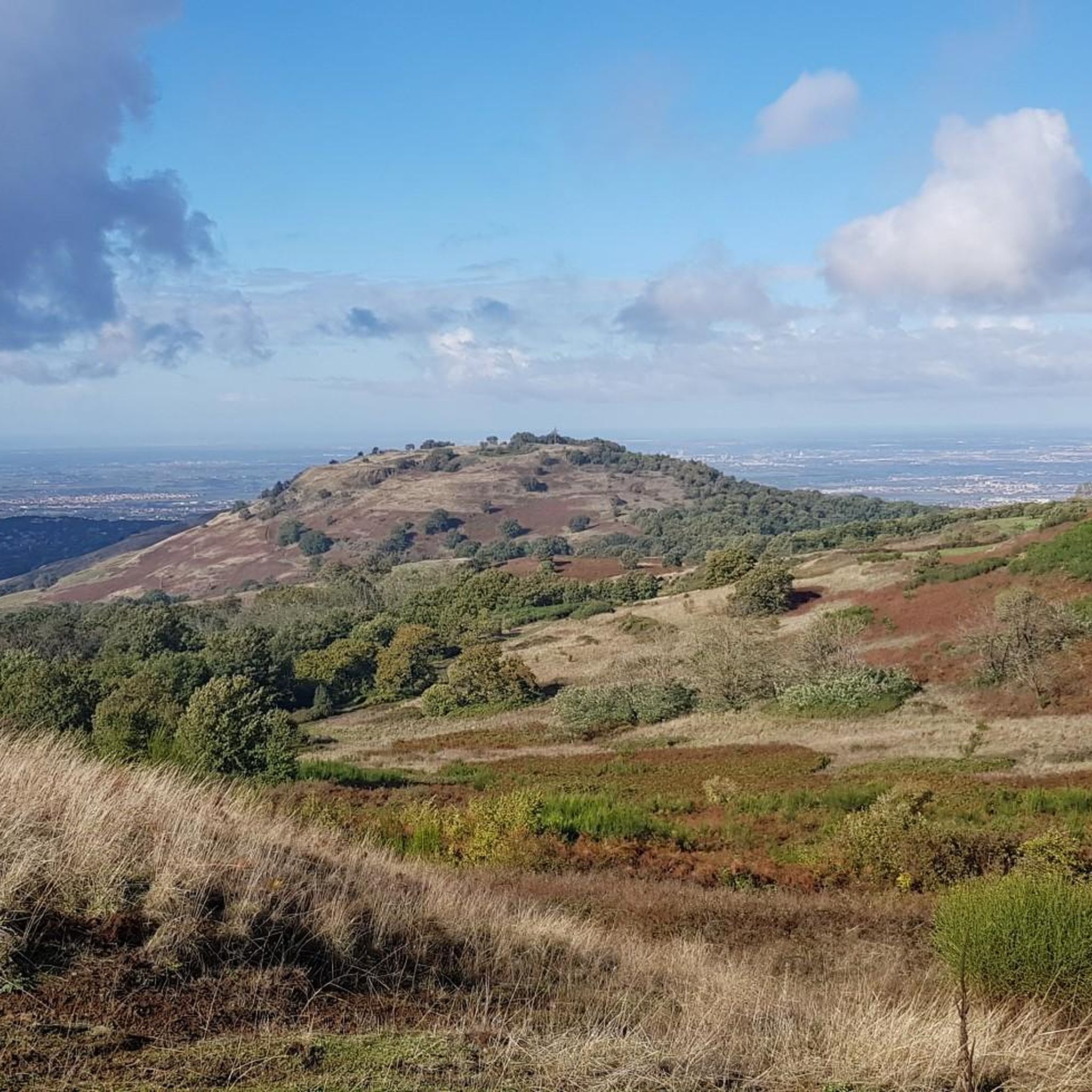
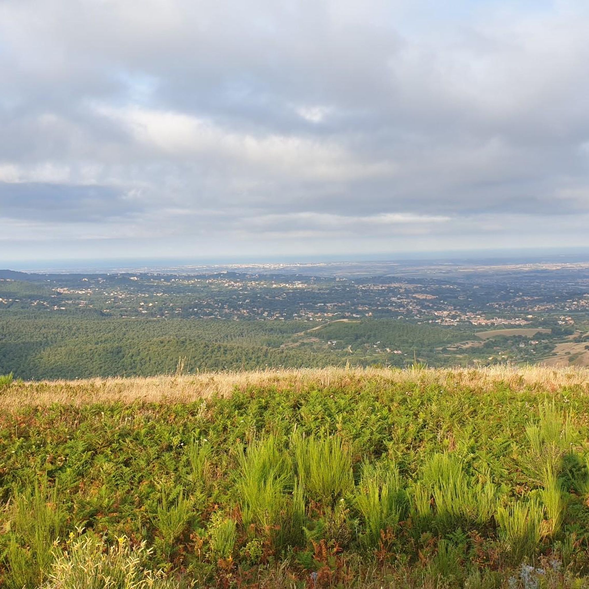
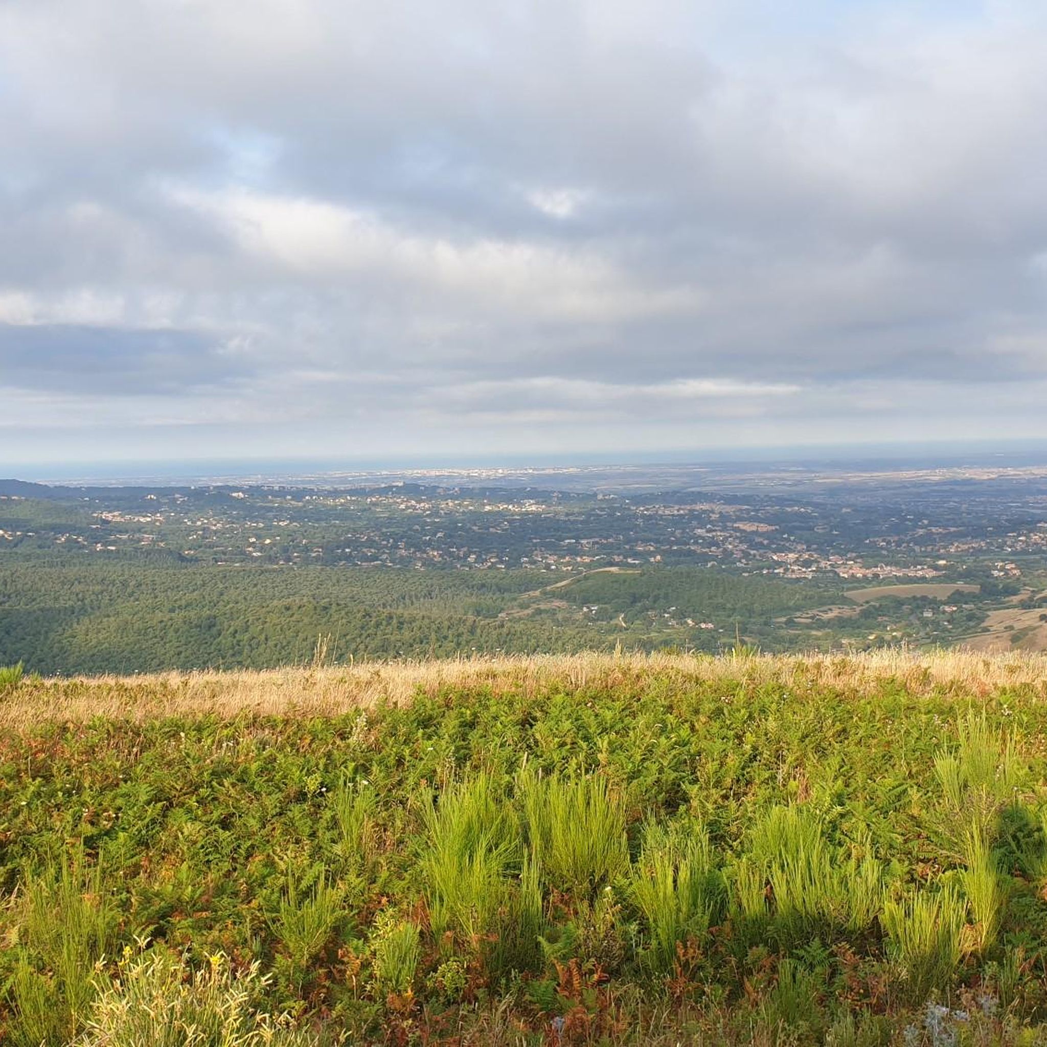

Tips from the Community

Belvedere di tuscolo splendid view
0
0

It's always nice to pass by here!
0
0

nice descent towards tvg
0
0

The Amato bridge is located just outside the center of Gallicano nel Lazio, it is a Roman bridge that allowed the old Via Prenestina to cross the valley of the Fosso Scalelle and reach the city of Palestrina. The bridge has a single round arch, now unfortunately only a section remains as the northern part collapsed during the Second World War.
0
0

This terrace is the perfect place to rest and admire the breathtaking view. Just at the foot of the terrace you can see the town of Frascati and on clear days, the view extends to Rome in all its grandeur and grandeur. Not to be missed!
1
0

Here begins the archaeological park "Ponte Amato and Via Prenestina antica", a stretch of the ancient Via Prenestina to continue along the path of the aqueducts that supplied Rome with water.
0
0

from the web: "Ponte Amato, located near the Tagliata di Santa Maria di Cavanonte, is an isolated Roman bridge in the countryside near Gallicano nel Lazio. This ancient bridge allowed the ancient Via Prenestina to cross the valley of the Scalelle ditch, heading towards the city of Praeneste (Palestrina). Its exact dating is not certain, but the similarities with the Nona bridge (at the 9th mile of the Via Prenestina) suggest that it may date back to the second half of the 2nd century BC or the beginning of the 1st century BC. . The name “Ponte Amato” derives from Count Amato of Segni, who fortified it in the 10th century and took care of its restoration after a period of abandonment. After being neglected again for several centuries, the bridge was the subject of an excellent restoration in 2001 by the Archaeological Superintendency for Lazio, which returned it to its magnificent beauty. The arch of the bridge is characterized by a single rounded structure, and although the northern part collapsed during the fighting of the Second World War, the bridge still retains some of its original splendor. The dimensions of the Amato Bridge are impressive: it is made up of 17 rows of ashlar blocks in the shape of parallelepipeds of "lapis gabinus" (the famous gabine stone). The maximum height measured from the ditch surface is 10 metres. On the roadway, which reaches a width of 5.65 metres, the paving of the ancient Roman road is still visible. This site, belonging to the municipality of Gallicano nel Lazio, is part of an itinerary of great archaeological, landscape and wildlife interest. The surrounding area is crossed by four of Rome's public aqueducts: the Anius Vetus, the Aqua Marcia, the Aqua Claudia and the Anius Novus. A fascinating place to explore, immersed in a suggestive natural environment."
0
0
Frequently Asked Questions
How many touring cycling routes are available around Monte Compatri?
There are over 280 touring cycling routes around Monte Compatri, offering a wide range of options for different skill levels. You can find routes ranging from easy to difficult, with the majority being moderate to challenging due to the region's volcanic terrain.
What kind of terrain can I expect on touring cycling routes in Monte Compatri?
Touring cycling routes in Monte Compatri feature varied terrain shaped by volcanic activity. You'll encounter significant elevation changes, with routes rising from 576 meters above sea level and including hills like Monte Salomone at 773 meters. Expect a mix of paved roads, dirt roads, and ancient Roman paving stones, especially on routes like the "Grande Anello del Parco Regionale dei Castelli".
Are there any circular touring cycling routes in the Monte Compatri area?
Yes, Monte Compatri is part of the "Grande Anello del Parco Regionale dei Castelli" (Big Ring of the Castelli Regional Park), a 52km circular cycling tour that winds through the main cities of the Colli Albani. Many other routes in the area are also designed as loops, such as the View of Frascati – View of Rocca di Papa loop from Graniti, which offers extensive views and challenging climbs.
What natural features or landmarks can I see along the touring cycling routes?
The routes offer stunning natural beauty and historical landmarks. You can enjoy panoramic views of the picturesque Lake Albano and Lake Nemi from various viewpoints, including the "Occhialone" on the Sacred Way to Monte Cavo. Other notable features include the ancient Tusculum, the serene forests of the Castelli Romani Park, and the historic Nemi settlement.
What do other touring cyclists enjoy most about cycling in Monte Compatri?
The area is highly rated by the komoot community, with an average score of 4.4 stars from over 400 reviews. Cyclists often praise the challenging yet rewarding volcanic landscapes, the stunning lake views, and the opportunity to explore historical sites and ancient Roman roads. The diverse terrain and natural beauty are frequently highlighted as key attractions.
Are there any family-friendly touring cycling routes around Monte Compatri?
While many routes in Monte Compatri feature significant elevation changes, there are some easier options suitable for families. Out of the 283 available routes, 27 are rated as easy. It's advisable to check the route profiles for elevation and distance to ensure they match your family's ability. The flatter sections near Lake Albano might offer more relaxed cycling opportunities.
Can I access touring cycling routes in Monte Compatri using public transport?
Yes, Monte Compatri is accessible via public transport, including Rome Metro C, which promotes ecological tourism. Trains to the wider Castelli Romani area also accommodate bikes, making it convenient to reach starting points for your cycling tours. The "Grande Anello del Parco Regionale dei Castelli" specifically touches railway stations, including Monte Compatri's.
Are there places to eat or drink along the touring cycling routes?
Yes, the region offers various spots to refuel. Monte Compatri's historic center has local eateries, and you can find kiosks along the Via dei Laghi, such as Kiosks along the Via dei Laghi, which are popular stops for cyclists. Many towns within the Castelli Romani Park also offer cafes and restaurants.
What is the best time of year for touring cycling in Monte Compatri?
The Castelli Romani region generally offers pleasant cycling conditions for much of the year. Spring and autumn provide mild temperatures and beautiful scenery, ideal for exploring the volcanic landscapes and forests. Summer can be warm, so early morning or late afternoon rides are recommended. Winter cycling is possible, but some higher elevation paths might be less accessible or require more preparation.
Are there any long-distance touring cycling routes in the area?
Yes, for those seeking longer rides, routes like the Borgo di Poli – Capranica Prenestina loop from Colonna Galleria cover significant distances, reaching over 70 km. The "Grande Anello del Parco Regionale dei Castelli" is also a substantial 52 km circular route. These longer routes often feature considerable elevation gain, making them suitable for experienced touring cyclists.
Where can I find parking for my bike when visiting Monte Compatri?
While specific dedicated bike parking facilities might vary, Monte Compatri's historic center and the larger towns in the Castelli Romani typically offer public parking areas. When planning your route, consider starting points that are easily accessible by car and have available parking, such as those near railway stations or town centers.
Can I bring my dog on touring cycling routes in Monte Compatri?
Many natural areas and trails in the Castelli Romani Park are dog-friendly, provided dogs are kept on a leash and owners clean up after them. However, specific rules can vary by route or protected area. It's always best to check local regulations for the particular trail you plan to cycle, especially if it passes through private land or sensitive ecological zones.
Most popular routes around Monte Compatri
Most popular attractions around Monte Compatri

Get inspired with the komoot mobile app


Explore more
Browse the best Cycling routes in other regions.
