The best walks and hikes around Tapfheim
4.7
(91)
460
hikers
75
hikes
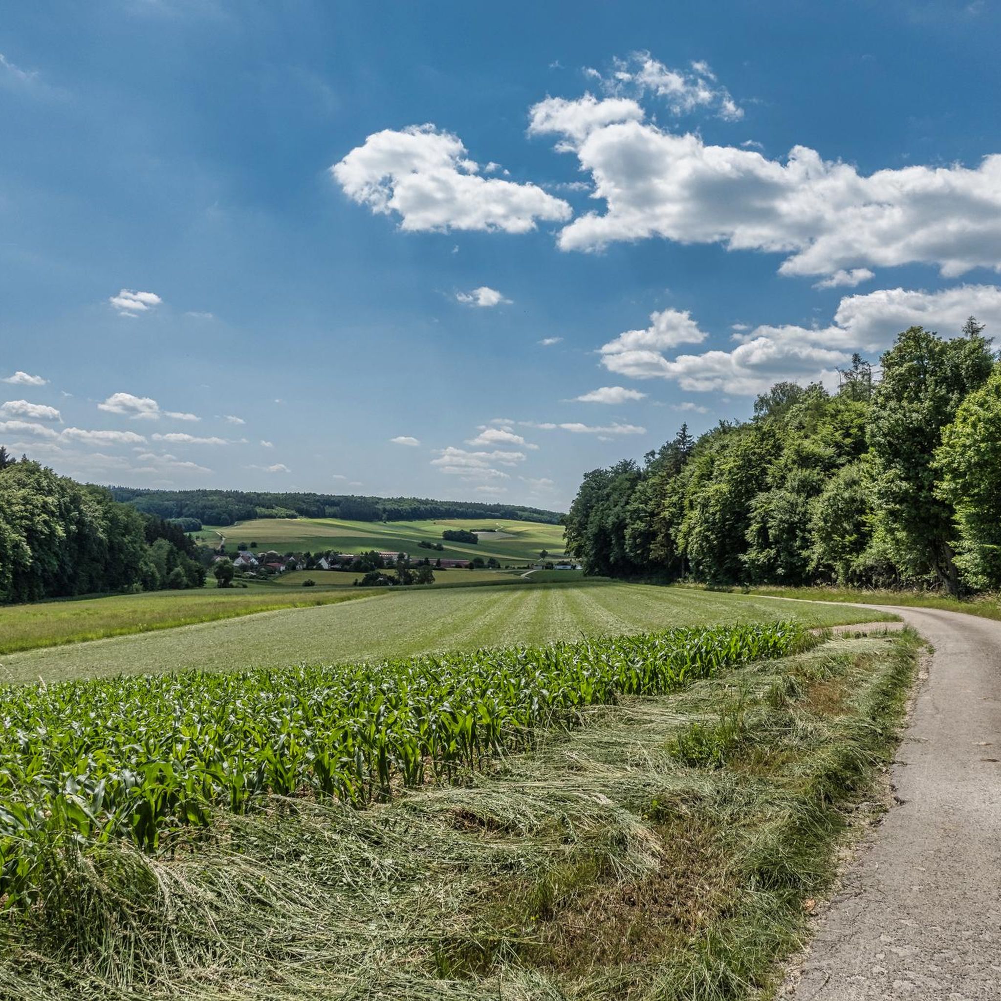
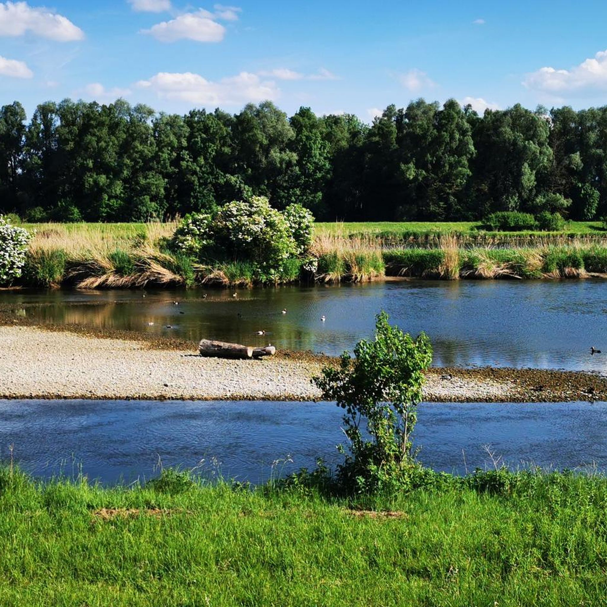
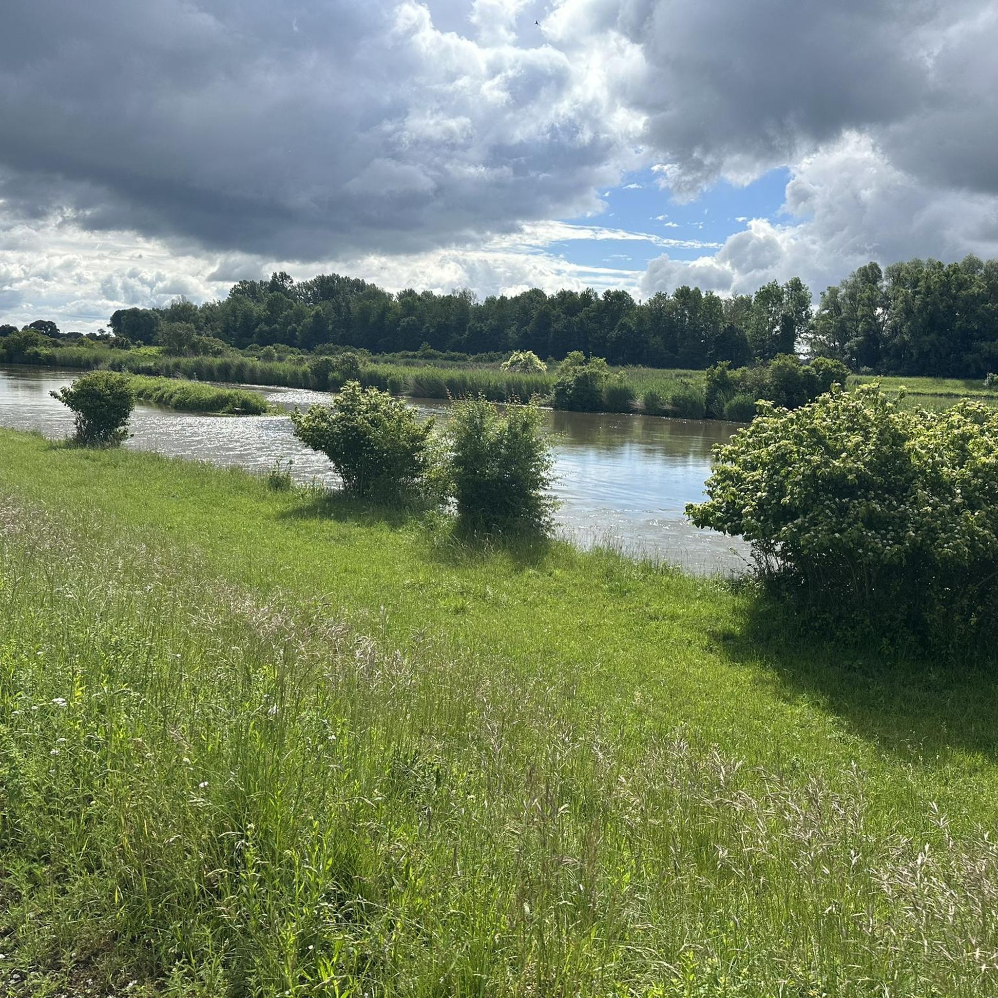
Hiking around Tapfheim offers diverse landscapes in the Donau-Ries district of Bavaria, Germany. The region is characterized by the flat terrain of the Danube River and its floodplains to the south, featuring gravel pits. To the north, the Kesseltal valley presents a more varied landscape with gentle hills. Tapfheim is also situated near the Geopark Schwäbische Alb and the Altmühltal Nature Park, contributing to its varied hiking terrain.
Best hiking trails around Tapfheim
- The most popular hiking route is Playground at Tapfheim Lake – Small Bridge in Geopark Ries loop from Tapfheim, an easy 2.8 miles (4.6 km) trail that takes 1 hour 9 minutes to complete. This route offers accessible paths suitable for any fitness level.
- Another top favourite among local hikers is Kneipp Facility on the Kessel – Kesseltal-Blick Viewpoint loop from Oppertshofen, an easy 2.9 miles (4.7 km) path. This trail includes a viewpoint over the Kesseltal and is suitable for various fitness levels.
- Local hikers also love the Small Bridge in Geopark Ries – Playground at Tapfheim Lake loop from Tapfheim, a 4.0 miles (6.5 km) trail leading through the Geopark Ries, often completed in about 1 hour 39 minutes.
- Hiking around Tapfheim is defined by the Danube River floodplains, the Kesseltal valley, and proximity to the Geopark Schwäbische Alb. The network offers options for different ability levels, from flat riverside paths to routes with gentle hills.
- The routes in Tapfheim are highly rated by the komoot community with an average score of 4.6 stars from over 70 reviews. More than 450 hikers have used komoot to explore Tapfheim's varied terrain.
Last updated: October 7, 2026
4.9
(10)
42
hikers
Easy hike. Great for any fitness level. Easily-accessible paths. Suitable for all skill levels.
4.8
(8)
27
hikers
Easy hike. Great for any fitness level. Easily-accessible paths. Suitable for all skill levels.

5.0
(7)
17
hikers
Easy hike. Great for any fitness level. Easily-accessible paths. Suitable for all skill levels.
4.7
(11)
33
hikers
Moderate hike. Good fitness required. Easily-accessible paths. Suitable for all skill levels.
3.7
(3)
6
hikers
Moderate hike. Good fitness required. Easily-accessible paths. Suitable for all skill levels.
Get access to more routes and recommendations from other explorers.
Already have an account?
Our route recommendations are based on thousands of hikes, rides, and runs completed by other people on komoot.
Start today with a free account
Your next adventure awaits.
Tips from the Community

Photo shoot with picture frame and Kesseltal panorama
0
0

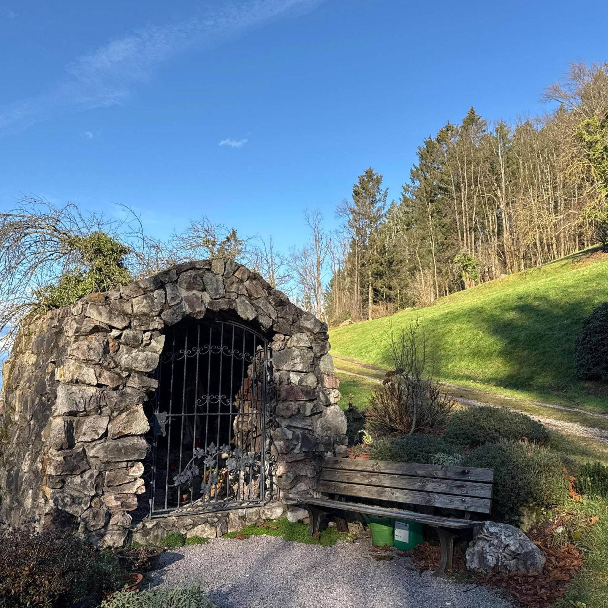
Chapel = Leaning Tower of Pisa?
0
0

It is an oversized wooden bench (a so-called XXL bench) located on the grounds of the Hofgut. It is built so large that an adult sitting on it feels like a small child – feet usually dangle in the air, making it a perfect spot for fun souvenir photos.
0
0


a great place to rest and do Kneipp therapy ;)
0
0


information boards on the subject of agriculture
0
0
Really a beautiful place if you want to cool off, swim or just take a break in the summer.
0
0
Frequently Asked Questions
What kind of terrain can I expect on hiking trails around Tapfheim?
Tapfheim offers a diverse landscape. To the south, you'll find the flat terrain of the Danube River and its floodplains, often featuring gravel pits, ideal for leisurely walks. To the north, the picturesque Kesseltal valley presents a more varied landscape with gentle hills. The region is also near the edges of the Ries Crater and the Swabian Alb, contributing to its varied hiking terrain.
Are there any easy hiking trails suitable for beginners or families in Tapfheim?
Yes, Tapfheim has many easy trails. For instance, the Playground at Tapfheim Lake – Small Bridge in Geopark Ries loop from Tapfheim is an easy 2.8-mile route with accessible paths suitable for any fitness level. Another great option is the Kneipp Facility on the Kessel – Kesseltal-Blick Viewpoint loop from Oppertshofen, an easy 2.9-mile path that also offers a scenic viewpoint.
What interesting natural features or landmarks can I see while hiking near Tapfheim?
The region boasts several notable natural features. You can explore the Confluence of the Wörnitz and Danube, visit the tranquil Prälatenweiher lake, or discover the Mangold stone. For panoramic views, consider the Bockberg: Summit Cross and View over the Ries Crater. The Swabian Danube Valley Nature Reserve is also nearby.
Are there any circular hiking routes available in Tapfheim?
Yes, many trails in Tapfheim are loops. For example, the Small Bridge in Geopark Ries – Playground at Tapfheim Lake loop from Tapfheim is a 4.0-mile circular trail. Another option is the Hiking loop from Bäldleschwaige, which is a longer, moderate 8.8-mile route.
Can I bring my dog on the hiking trails in Tapfheim?
Many trails in Tapfheim are dog-friendly, allowing you to enjoy the outdoors with your canine companion. It's generally recommended to keep dogs on a leash, especially in nature reserves or areas with wildlife, and to always clean up after them. Specific rules may vary by trail, so always observe local signage.
What is the best time of year to go hiking in Tapfheim?
Tapfheim offers enjoyable hiking experiences throughout much of the year. Spring and autumn provide pleasant temperatures and beautiful scenery, with blooming wildflowers or vibrant fall foliage. Summer is also popular, especially for trails along the Danube or in shaded areas. Winter hiking is possible, but some trails might be muddy or icy, so appropriate gear is essential.
Are there any challenging hikes near Tapfheim for experienced hikers?
While many trails are easy to moderate, the region does offer more challenging options. The nearby Geopark Schwäbische Alb, for instance, features routes like the Fledermausquartier Hirschwirts-Keller Loop, which is a more strenuous 11.1-mile loop. Within Tapfheim itself, there are 3 difficult routes out of 79 total tours, providing options for those seeking a greater challenge.
Where can I find parking for hiking trails in Tapfheim?
Parking is generally available at common trailheads and popular starting points. For example, you can often find parking near the Playground at Tapfheim Lake or the Kneipp Facility on the Kessel. Specific parking information is usually provided on individual route descriptions or local signage.
What do other hikers enjoy most about hiking in Tapfheim?
The area is highly rated by the komoot community, with an average score of 4.6 stars from over 70 reviews. Hikers often praise the diverse landscapes, from the flat Danube floodplains to the gentle hills of the Kesseltal valley, and the accessibility of trails for various fitness levels. The proximity to natural parks like Geopark Schwäbische Alb and Altmühltal also adds to the appeal.
Are there places to eat or stay near the hiking trails in Tapfheim?
Tapfheim, being a charming municipality, offers local amenities including cafes, pubs, and accommodation options. These can be found within the village itself or in nearby towns, providing convenient places to refresh and rest after your hike. It's advisable to check local listings for current operating hours and availability.
How can I reach the hiking areas around Tapfheim using public transport?
Tapfheim is connected by public transport, which can be used to access various hiking areas. While specific bus routes and schedules vary, local bus services typically connect the municipality with surrounding villages and train stations. It's recommended to check the latest public transport timetables for the Donau-Ries district to plan your journey to specific trailheads.
Are there any trails that combine hiking with historical sights in Tapfheim?
Yes, Tapfheim offers a blend of natural beauty and historical attractions. You can incorporate visits to historical sites like the 18th-century Tapfheim Castle or the St. Vitus Church into your hiking excursions, adding a cultural dimension to your outdoor experience. Many local trails pass by or are in proximity to these landmarks.
Most popular attractions around Tapfheim

Get inspired with the komoot mobile app


Explore more
Browse the best Hikes in other regions.
