The best walks and hikes around Tanna
4.6
(230)
770
hikers
71
hikes
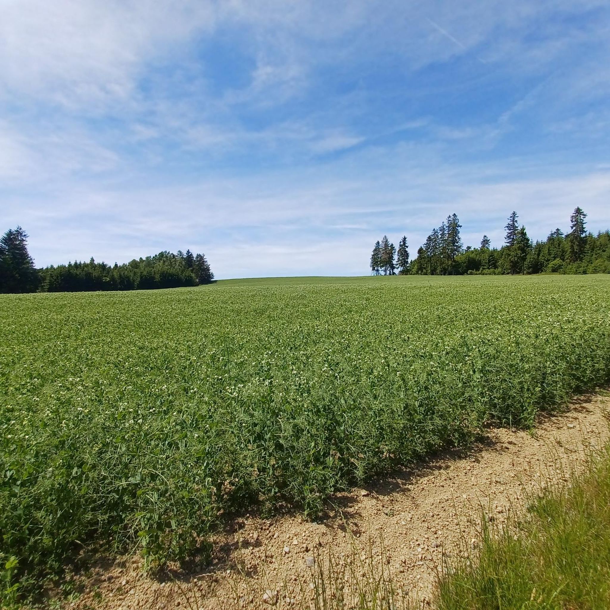
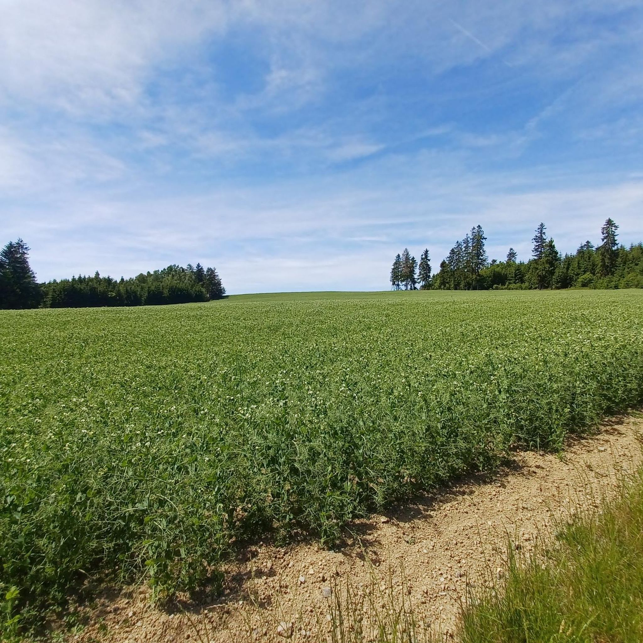
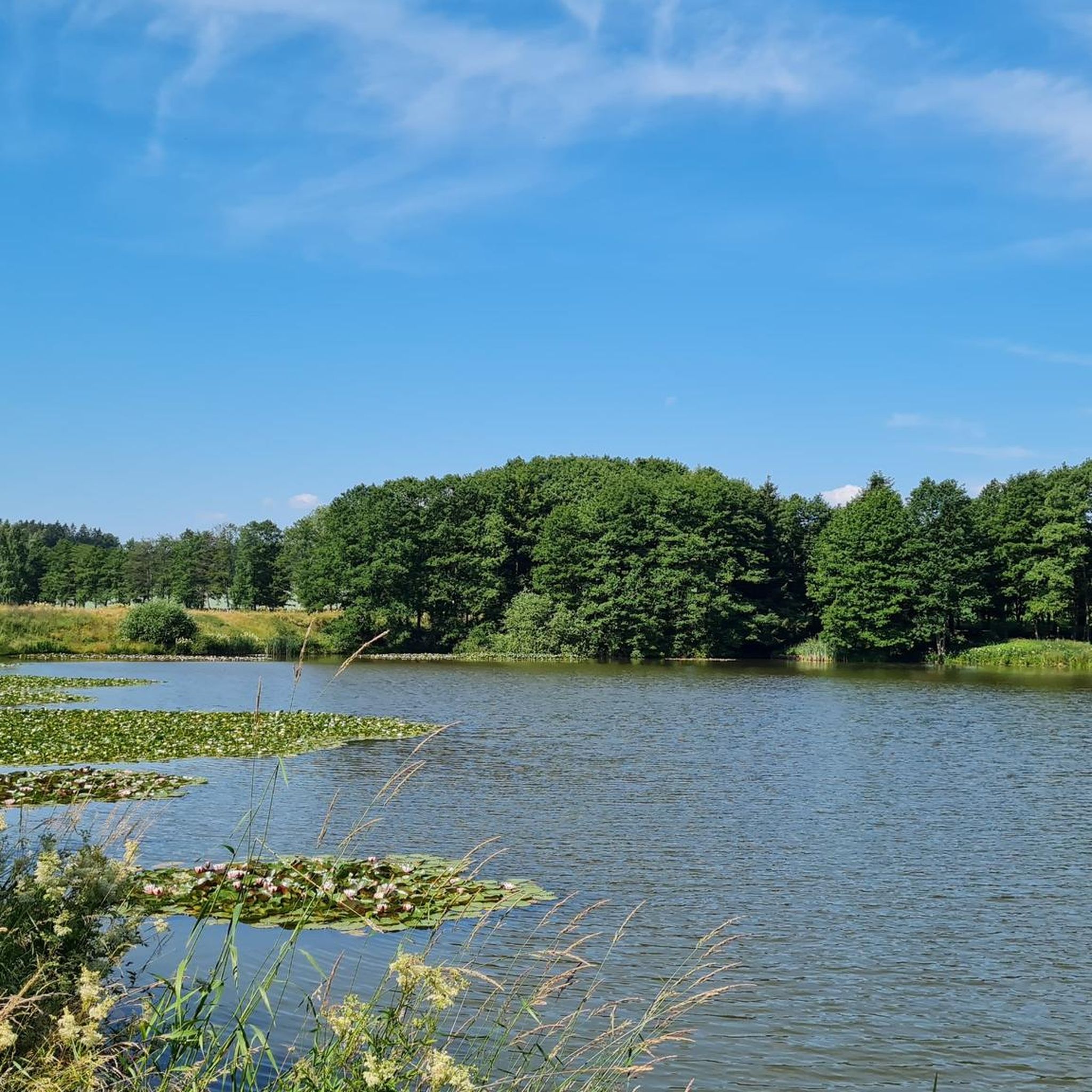
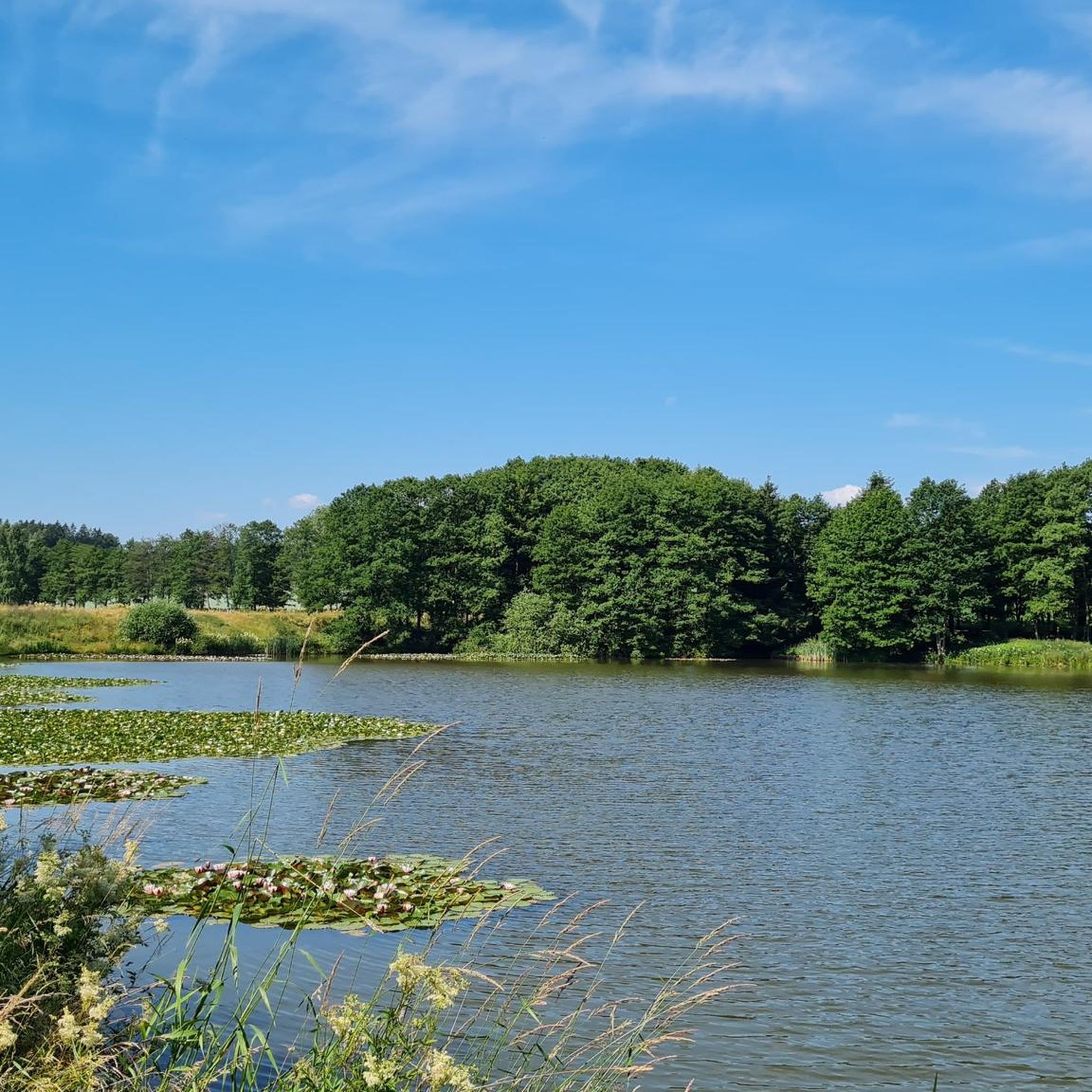
Hiking around Tanna features a landscape characterized by rolling hills, dense woodlands, and serene ponds. The region offers a variety of terrain, including paths leading to local summits and through areas with historical quarries. Trails often traverse forested sections and open fields, providing diverse hiking experiences.
Best hiking trails around Tanna
- The most popular hiking route is Rosenbühl Summit and Shelter – Tanna Leiten Ponds loop from Tanna, a 5.5 miles (8.9 km) trail that takes 2 hours 23…
Last updated: September 27, 2026
4.2
(48)
76
hikers
8.68km
02:21
120m
120m
Moderate hike. Good fitness required. Easily-accessible paths. Suitable for all skill levels.
4.9
(17)
65
hikers
24.5km
06:42
380m
380m
Hard hike. Very good fitness required. Easily-accessible paths. Suitable for all skill levels.

4.8
(23)
69
hikers
8.83km
02:24
130m
130m
Moderate hike. Good fitness required. Easily-accessible paths. Suitable for all skill levels.
4.9
(12)
41
hikers
9.44km
02:32
110m
110m
Moderate hike. Good fitness required. Easily-accessible paths. Suitable for all skill levels.
5.0
(10)
27
hikers
10.7km
02:53
140m
140m
Moderate hike. Good fitness required. Easily-accessible paths. Suitable for all skill levels.
Get access to more routes and recommendations from other explorers.
Already have an account?
Our route recommendations are based on thousands of hikes, rides, and runs completed by other people on komoot.
Start today with a free account
Your next adventure awaits.
Tips from the Community


It was a very nice hike once again. The tour led us through easily accessible paths where no special conditions are required. The old forest huts "Rosenbühl und Pechhütte" are a must-see. The Tanner Leitenteiche are also worth seeing.
0
0

Large forest path crossing between Tanna and Gefell
0
0

Here dogs can refresh themselves in the water, drink and swim extensively.
0
0

You may be right @Angela. But for me the position also involves work... 😁 Otherwise it's wonderful here. All you can hear is the wind and the weather - and lots of birdsong. 👍
2
0

It's a pity that the swing is taken down in winter.
1
0
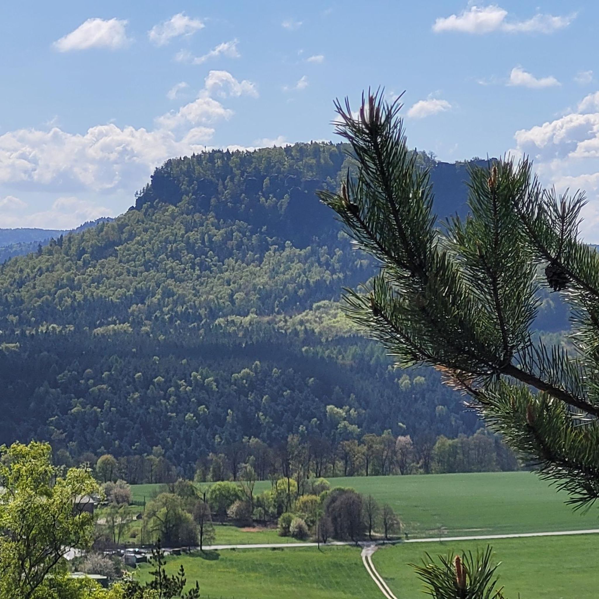
Great view far into the country. You can even see the steaming forge of the Blankenstein paper factory. There is a box attached to a tree with a panoramic book in which you can immortalize yourself.
1
0
The view from up here is simply fantastic.
2
0
Frequently Asked Questions
How many hiking trails are available in Tanna?
Tanna offers a diverse network of over 60 hiking routes. These trails traverse rolling hills, dense woodlands, and serene ponds, providing a variety of experiences for hikers.
Are there easy hiking trails suitable for beginners in Tanna?
Yes, Tanna has a good selection of trails for beginners. There are 28 easy routes, many of which are shorter and have minimal elevation gain. For example, the Schutzteich and Wäldle (Tanna) – Bahnhofstraße, Tanna loop from Tanna is an easy 2.7-mile (4.3 km) trail that takes just over an hour to complete.
What kind of terrain can I expect on Tanna's hiking trails?
Hikers in Tanna can expect a varied landscape characterized by rolling hills, dense woodlands, and serene ponds. Trails often lead through forested sections and open fields, with some paths exploring areas around historical quarries or ascending to local summits.
Are there any challenging hikes in Tanna?
While most routes in Tanna are easy to moderate, there is at least one difficult route for experienced hikers. The Tanna Leiten Ponds – Tanna Marble Quarry loop from Tanna is a challenging 15.2-mile (24.5 km) hike with significant elevation changes, typically taking over 6 hours to complete.
Are Tanna's hiking trails suitable for families with children?
Many of Tanna's easy and moderate trails are suitable for families. The region's gentle hills and forested paths offer pleasant walks. Consider shorter loop trails that pass by ponds or through scenic woodlands for an enjoyable family outing.
What are some notable landmarks or viewpoints I can discover while hiking in Tanna?
Several trails in Tanna lead to interesting landmarks and viewpoints. You can hike to the Rosenbühl Summit and Shelter for panoramic views, or explore the area around the Sandberg Triangulation Pillar. The region also features the View from Sandberg, offering scenic vistas.
Are there circular hiking routes in Tanna?
Yes, many of the hiking routes in Tanna are designed as loops, allowing you to start and end your journey in the same location. Examples include the Rosenbühl Summit and Shelter – Tanna Leiten Ponds loop from Tanna and the Tanna Marble Quarry – Rosenbühl Summit and Shelter loop from Göttengrün.
What do other hikers enjoy the most about hiking in Tanna?
The hiking experience in Tanna is highly rated by the komoot community, with an average score of 4.6 stars from over 150 reviews. Hikers often praise the region's diverse terrain, from forested paths to scenic ponds, and the well-maintained trails that offer options for various ability levels.
What is the best time of year to go hiking in Tanna?
While specific seasonal data isn't available, generally, the best time for hiking is during periods of moderate temperatures and less rainfall. It's always advisable to check local weather forecasts before heading out, especially if planning longer routes.
Are there any trails in Tanna that feature waterfalls?
Based on available information, there are no prominent waterfalls explicitly mentioned along the hiking trails or in the nearby attractions around Tanna. The region is more known for its ponds, woodlands, and hills.
Is it possible to reach Tanna's hiking trails using public transport?
Information regarding specific public transport options directly to the trailheads in Tanna is not readily available. Many hikers typically use personal vehicles or local transport services to access the starting points of the routes.
Where can I find parking for hiking trails in Tanna?
While specific parking locations for each trailhead are not detailed, many hiking routes in Tanna, especially those starting from towns like Tanna or Göttengrün, often have designated or informal parking areas nearby. It's recommended to check the route details on komoot for specific starting points and potential parking information.
Most popular routes around Tanna
Most popular attractions around Tanna

Get inspired with the komoot mobile app


Explore more
Browse the best Hikes in other regions.
