The best walks and hikes around Arcevia
4.3
(623)
2,309
hikers
22
hikes
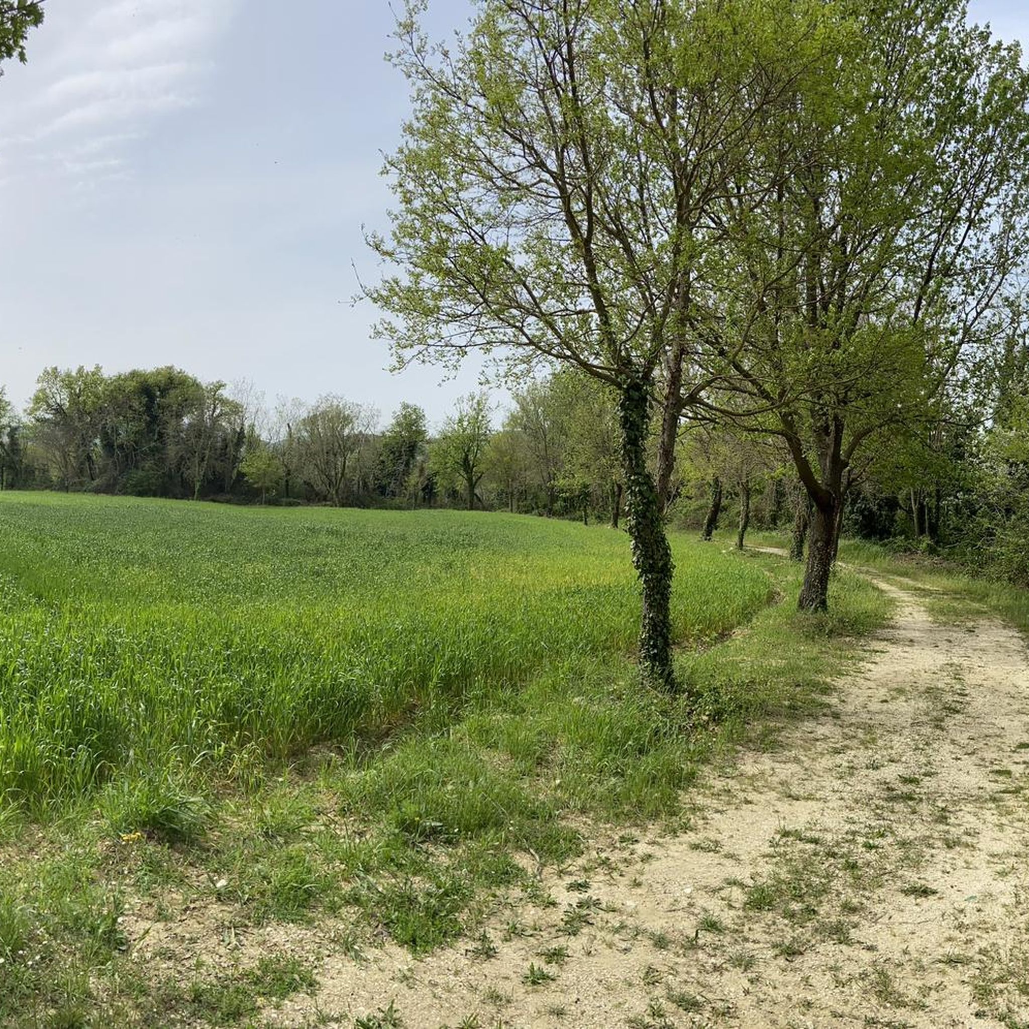
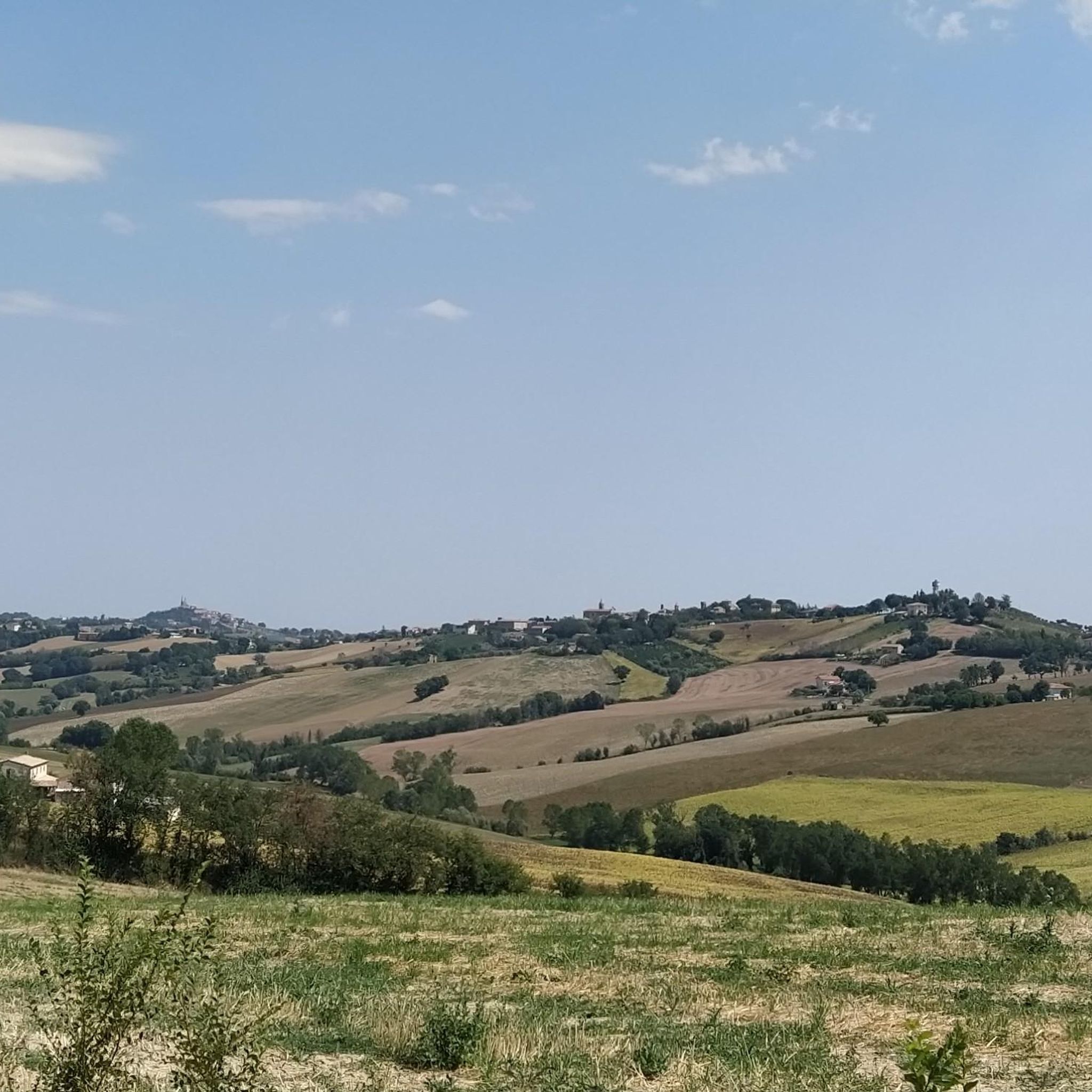
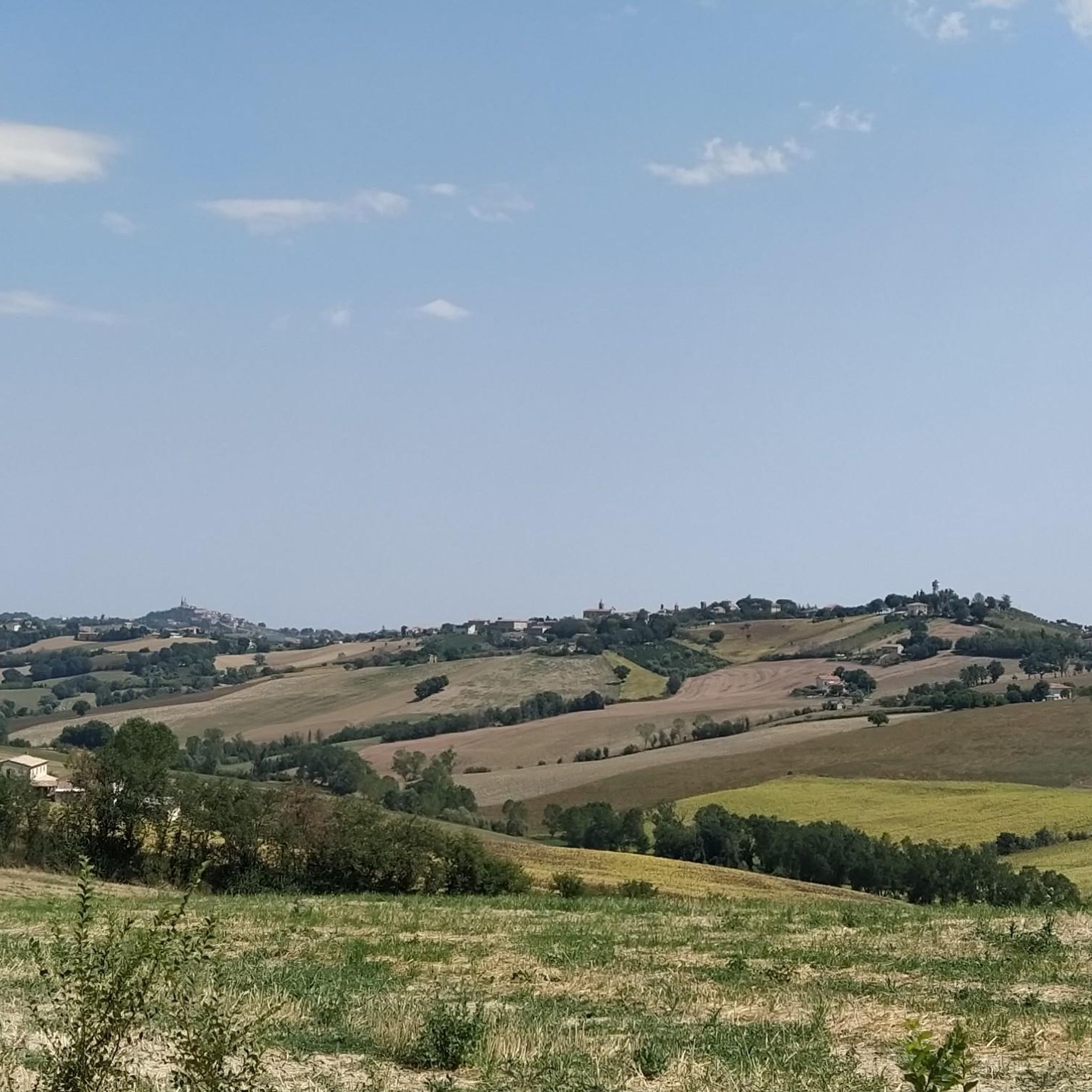
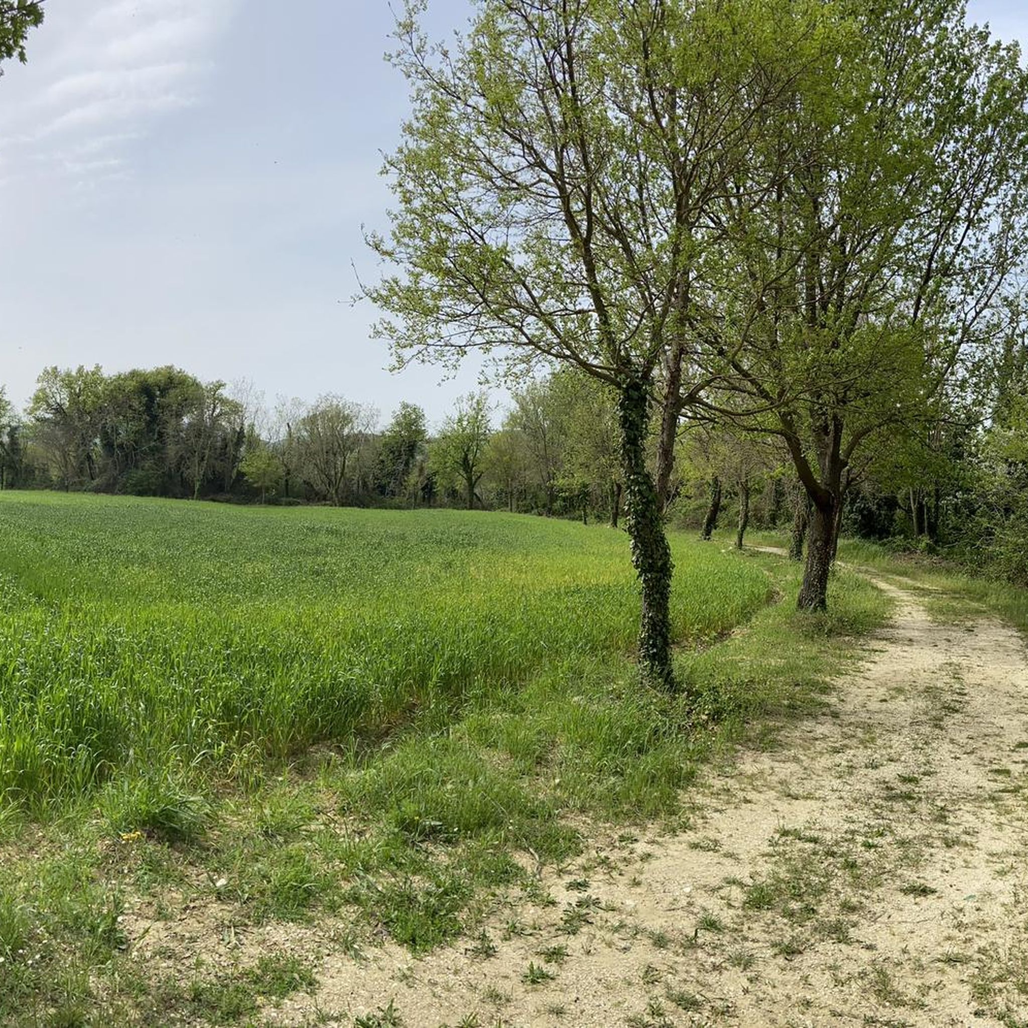
Hiking around Arcevia offers diverse landscapes within the Gola della Rossa and Frasassi Regional Natural Park. The area features panoramic hills, such as Monte Chisciano, providing views extending towards the Adriatic Sea and the Umbria-Marche Apennines. The Misa valley also contributes to the scenic beauty, with Arcevia positioned on an elevated point. This region combines natural features with historical elements like medieval castles, enhancing the hiking experience.
Best hiking trails around Arcevia
- The most popular hiking route is Monte della…
Last updated: October 26, 2026
4.0
(9)
14
hikers
5.60km
01:47
220m
220m
Easy hike. Easily walkable paths.
4.5
(12)
31
hikers
7.77km
02:29
340m
340m
Moderate hike. Good fitness required. Easily walkable paths.

4.8
(4)
16
hikers
6.54km
01:56
190m
200m
Easy hike. Easily walkable paths.
4.0
(3)
10
hikers
3.07km
01:00
140m
140m
Easy hike. Easily walkable paths.
4.5
(4)
8
hikers
9.58km
03:16
490m
500m
Moderate hike. Good fitness required. Easily walkable paths.
Get access to more routes and recommendations from other explorers.
Already have an account?
Our route recommendations are based on thousands of hikes, rides, and runs completed by other people on komoot.
Start today with a free account
Your next adventure awaits.

Tips from the Community

Monte della Guardia is located at an altitude of around 666 meters and offers a wide panoramic view over the landscape as far as Monte Cucco and Monte Catria.
0
0
Monte della Guardia is located at an altitude of around 666 meters and offers a wide panoramic view over the landscape as far as Monte Cucco and Monte Catria.
0
0

A great starting point for simple hikes in the surrounding area. The temperature is great in summer. Good food.
0
0
Madonna with the inscription "Per Mariam ad Jesum".
2
0
A very nice bar with great food and refreshing drinks, and of course, a fantastic view. Open daily from 8:30 a.m. to midnight in the summer.
3
0
The palace is also called the "Palazzo del Podestá." It was first mentioned in 1259. It was expanded and structurally altered in the 15th and 16th centuries.
3
0
A well-maintained park with plenty of opportunities for a leisurely picnic and a café. There are also great viewpoints, for example, towards Monte Cucco.
2
0
Top panoramic point, in every season!
1
0
Frequently Asked Questions
How many hiking trails are available around Arcevia?
There are over 20 hiking routes around Arcevia, offering a variety of experiences. These include 5 easy trails, 15 moderate paths, and 1 more challenging route, ensuring options for different skill levels.
What kind of terrain can I expect on hikes in Arcevia?
Hiking in Arcevia primarily involves panoramic hills and routes through the Misa valley, often within the Gola della Rossa and Frasassi Regional Natural Park. You can expect varied terrain, from gentle slopes offering views of the Adriatic Sea and Umbria-Marche Apennines to more rugged paths in forested areas like the Sant'Apollinare di Arcevia forest.
Are there any easy or beginner-friendly hikes in Arcevia?
Yes, Arcevia offers several easy trails suitable for beginners. An example is the Monte della Guardia Cross – Monte della Guardia Summit loop from Arcevia, which is 3.7 miles (6.0 km) long and takes about 1 hour 50 minutes. This path provides panoramas of Monte Cucco and Catria.
What natural attractions can I discover while hiking near Arcevia?
The region is rich in natural beauty. You can explore sites like the Occhialoni Hole, a unique natural monument. The famous Frasassi Caves, Europe's largest underground complex, are also nearby and can be combined with hiking excursions. The Scappuccia Valley is another pristine natural area worth visiting.
Are there any historical landmarks or viewpoints along the trails?
Absolutely. Arcevia is known for its nine medieval castles, which are fortified villages offering splendid panoramas. These include Avacelli, Castiglioni, and Loretello. Many trails pass by or offer views of these historic sites. For example, the Lo Scoiattolo Bar – Belvedere Viewpoint loop from Arcevia includes a viewpoint with scenic vistas.
What is the best time of year to go hiking in Arcevia?
The Marche region, where Arcevia is located, generally offers pleasant hiking conditions from spring through autumn. Spring brings blooming landscapes, while autumn provides comfortable temperatures and beautiful foliage. While some trails may be accessible in winter, it's advisable to check local conditions, especially at higher elevations.
Are there any circular hiking routes around Arcevia?
Yes, many routes around Arcevia are designed as loops. For instance, the Hiking loop from Santo Stefano is a 2.4 miles (3.8 km) trail through the Misa valley. Another option is the Church of Sant'Ansovino loop from Avacelli, which is a moderate 4.3 miles (6.9 km) route.
What do other hikers say about the trails in Arcevia?
The hiking routes in Arcevia are highly regarded by the komoot community, with an average rating of 4.4 stars from over 500 reviews. Hikers often praise the diverse landscapes, the combination of natural beauty with historical elements, and the well-maintained paths suitable for various abilities.
Are there family-friendly hiking options in Arcevia?
Yes, Arcevia offers several easy trails that are suitable for families. The
Is public transport available to reach hiking trailheads in Arcevia?
While Arcevia is well-suited for exploring by car, local bus services connect the main town with some surrounding villages. For specific trailheads, it's recommended to check local bus schedules or consider driving, as many routes start directly from Arcevia or its nearby hamlets. Parking is generally available in these starting points.
Can I find places to eat or stay near the hiking trails?
Arcevia and its surrounding medieval castles offer various options for dining and accommodation, from local trattorias to agriturismos. The Lo Scoiattolo Bar – Belvedere Viewpoint loop from Arcevia, for example, starts near a local bar, providing a convenient stop before or after your hike. For broader information on the region, you can visit Italia.it's Arcevia page.
Are there any hidden gem hikes or less-known spots in Arcevia?
The Scappuccia Valley is often described as a secret place with pristine nature and charm, making it a wonderful 'hidden gem' for those looking to explore off the beaten path. Additionally, the trail leading to Devil's Rock (Rocca del Diavolo) within the Sant'Apollinare di Arcevia forest offers an immersive experience away from more crowded areas.
Most popular attractions around Arcevia

Get inspired with the komoot mobile app


Explore more
Browse the best Hikes in other regions.
