The best walks and hikes around Busto Arsizio
4.1
(1293)
7,633
hikers
384
hikes
Hiking around Busto Arsizio offers access to diverse landscapes, from local green spaces to extensive regional parks. The area features suburban parks like Parco Alto Milanese, providing accessible paths for walks and light hiking. Further afield, the region connects to the Campo dei Fiori mountain range, known for its forests and views, and several significant lakes including Lake Varese and Lake Comabbio, which offer scenic paths along their shores. The Parco del Ticino, a UNESCO Biosphere Reserve, also provides extensive…
Last updated: September 28, 2026
4.3
(31)
81
hikers
Moderate hike. Good fitness required. Easily-accessible paths. Suitable for all skill levels.
4.8
(5)
42
hikers
Easy hike. Great for any fitness level. Easily-accessible paths. Suitable for all skill levels.

3.8
(10)
79
hikers
6.29km
01:36
20m
20m
Easy hike. Great for any fitness level. Easily-accessible paths. Suitable for all skill levels.
21
hikers
2.05km
00:31
10m
10m
Easy hike. Great for any fitness level. Easily-accessible paths. Suitable for all skill levels.
4.0
(1)
25
hikers
2.50km
00:38
10m
10m
Easy hike. Great for any fitness level. Easily-accessible paths. Suitable for all skill levels.
Get access to more routes and recommendations from other explorers.
Already have an account?
Our route recommendations are based on thousands of hikes, rides, and runs completed by other people on komoot.
Start today with a free account
Your next adventure awaits.
Tips from the Community

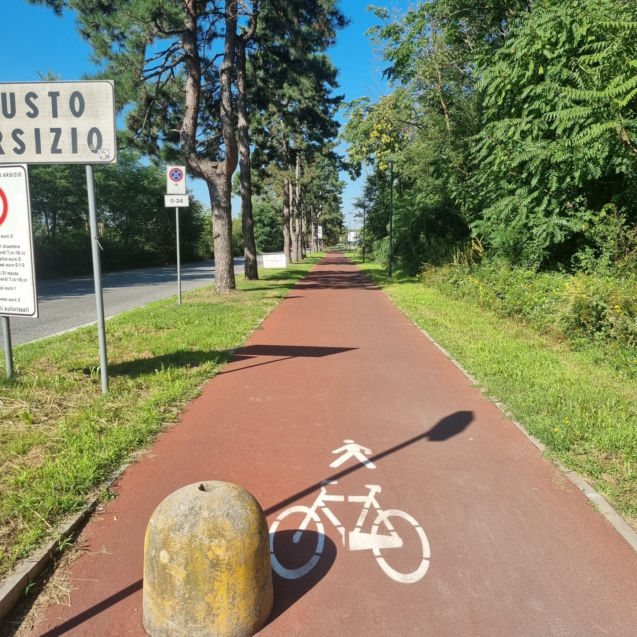
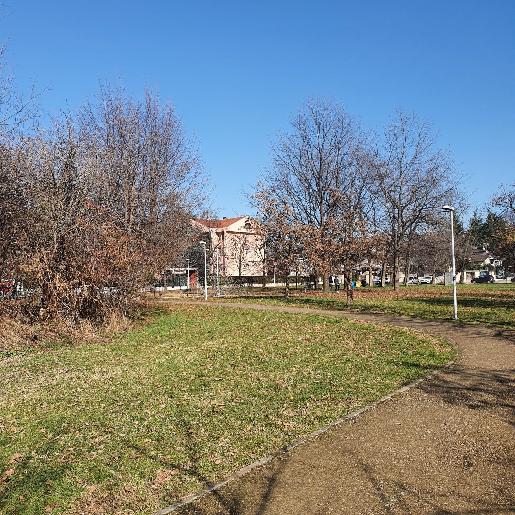
It's a green lung for the cities of Legnano and Castellanza, perfect for quiet strolls in a relaxing environment, in touch with nature, allowing the body and mind to unwind and recover from the stresses of everyday life.
0
0

entering the PAM from Legnano the vegetation offers freshness and views that make you "dream" of being elsewhere...
0
0

Nice place, fair prices
0
0
Menu similar to that of a bar with also dishes, low prices.
0
0

Large suburban park that does not offer particular points of interest
1
0

entrance to the park
2
3

To be exact.. Castellanza (not Castellana)
2
0

Refreshment point in the Upper Milanese park.
1
0
Frequently Asked Questions
How many hiking trails are available around Busto Arsizio?
There are over 330 hiking routes available around Busto Arsizio. These trails range from easy strolls through local parks to more moderate excursions in the wider regional landscapes.
What are the difficulty levels of hikes in the Busto Arsizio area?
The hiking trails around Busto Arsizio cater to various skill levels. You'll find approximately 186 easy routes, 138 moderate trails, and a few more challenging options for experienced hikers. This variety ensures there's something for everyone, from casual walkers to those seeking a more strenuous adventure.
What do other hikers say about the trails around Busto Arsizio?
The hiking routes in Busto Arsizio are highly regarded by the komoot community, holding an average rating of 4.2 stars from over 1000 reviews. Hikers often praise the accessibility of local green spaces like Parco Alto Milanese and the diverse natural beauty found in the surrounding regional parks and lake areas.
Are there options for easy, family-friendly walks around Busto Arsizio?
Yes, Busto Arsizio offers many easy and family-friendly options. Local parks such as Parco Alto Milanese provide accessible paths suitable for all ages. For example, the Parco Alto Milanese Entrance – Road signs loop from Castellanza is an easy 4.9 km trail perfect for a leisurely family outing.
Are there more challenging hikes available near Busto Arsizio?
While many local trails are easy to moderate, Busto Arsizio's proximity to the Campo dei Fiori mountain range and the broader Lombardy region means more challenging routes are accessible. These areas offer trails with significant elevation gains and longer distances for those seeking a more demanding hike.
Are there circular hiking routes in the area?
Yes, many routes around Busto Arsizio are circular, allowing you to start and end at the same point. A popular example is the Parco Alto Milanese Entrance – Alto Milanese Park Map loop from Castellanza, which is a 8.3 km loop through the varied terrain of Parco Alto Milanese.
What natural features can I expect to see while hiking near Busto Arsizio?
Hiking near Busto Arsizio offers a diverse range of natural features. You can explore the green spaces of Parco Alto Milanese, the extensive forests of Parco Regionale del Campo dei Fiori, and the serene shores of lakes like Lake Varese and Lake Comabbio. The Parco del Ticino, a UNESCO Biosphere Reserve, also provides opportunities to spot wildlife in its varied ecosystems.
Are there any historical or cultural landmarks to explore along the trails?
Yes, the region around Busto Arsizio is rich in history. You can find several interesting landmarks, including castles like Visconti Castle in Legnano or Jerago Castle. Additionally, the Lagozza di Besnate Archaeological Site offers a glimpse into ancient history.
Can I bring my dog on the hiking trails?
Many of the trails in the Busto Arsizio area, especially those in larger parks like Parco Alto Milanese and Parco del Ticino, are dog-friendly. However, it's always advisable to check specific park regulations or route details on komoot for any restrictions, and to keep your dog on a leash for their safety and the protection of local wildlife.
What is the best time of year to hike around Busto Arsizio?
While hiking is enjoyable year-round, autumn is particularly spectacular around Busto Arsizio, especially in areas like the Campo dei Fiori mountain range. The foliage transforms into a 'riot of colors,' offering breathtaking scenic views. Spring also brings pleasant temperatures and blooming flora.
Are there opportunities for hiking near lakes?
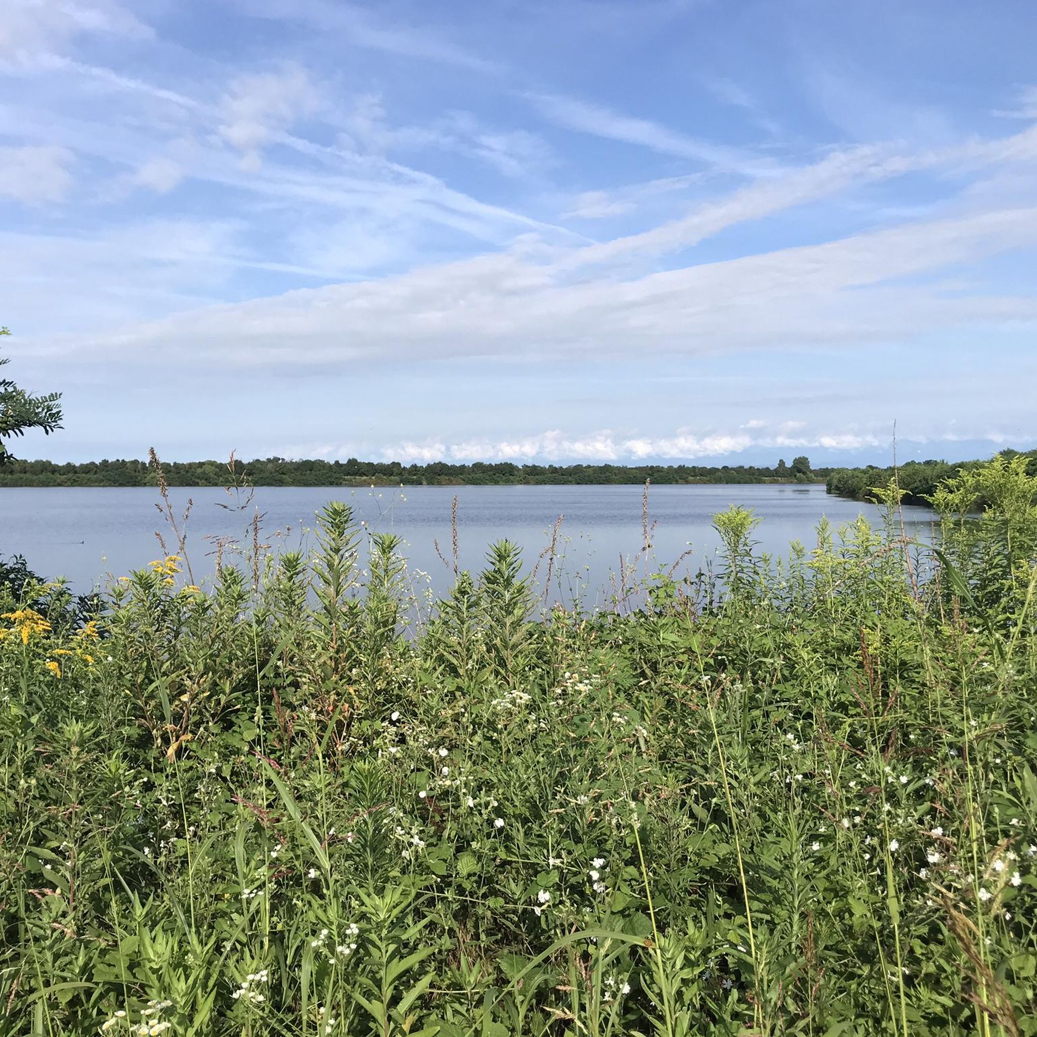
Absolutely. Busto Arsizio is conveniently located near several significant lakes. Lake Varese and Lake Comabbio offer scenic pedestrian paths along their humid shores, providing stunning panoramas and rich vegetation. The Parco del Ticino also extends to Lake Maggiore, offering extensive trails along its waterways.
Are there parking facilities near the hiking trails?
Many trailheads, especially those for larger parks like Parco Alto Milanese, typically have designated parking areas. For routes starting in towns or smaller parks, street parking might be available. It's recommended to check the route details on komoot for specific parking information before you go.
Are there any places to eat or rest along the trails?
In the larger regional parks, you might find refuges or small eateries that provide convenient rest stops and refreshments for longer excursions. For trails closer to urban centers, you'll often find cafes and restaurants in nearby towns. Always plan your route to ensure you have access to amenities when needed.
Most popular routes around Busto Arsizio
Most popular attractions around Busto Arsizio

Get inspired with the komoot mobile app


Explore more
Browse the best Hikes in other regions.
